Ramblers Cymru Logo Image of Countryside
Swansea Ramblers Logo
at the heart of walking


Swansea Ramblers


Rhosili

A 4.5 mile Sunday walk

6th July 2025

Leader: Lisa Skyrme


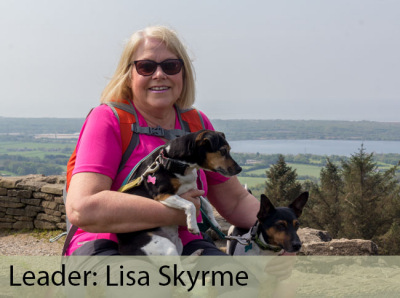
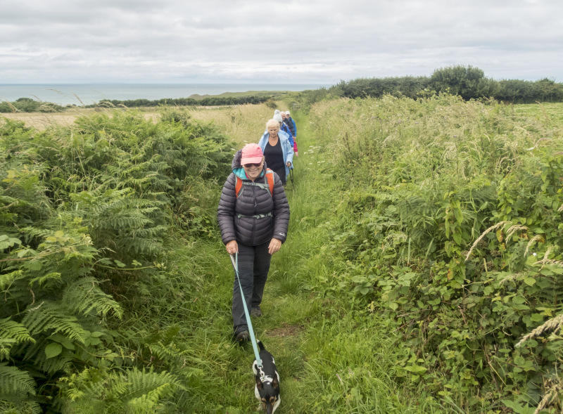
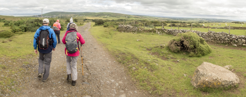
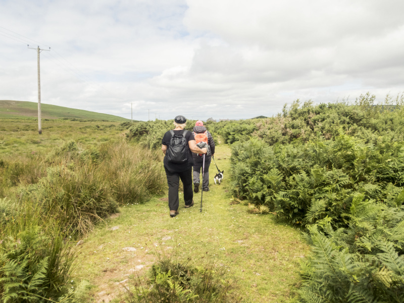
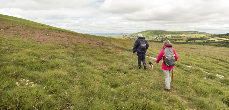
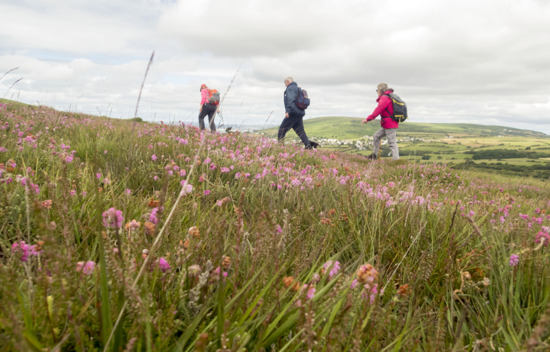
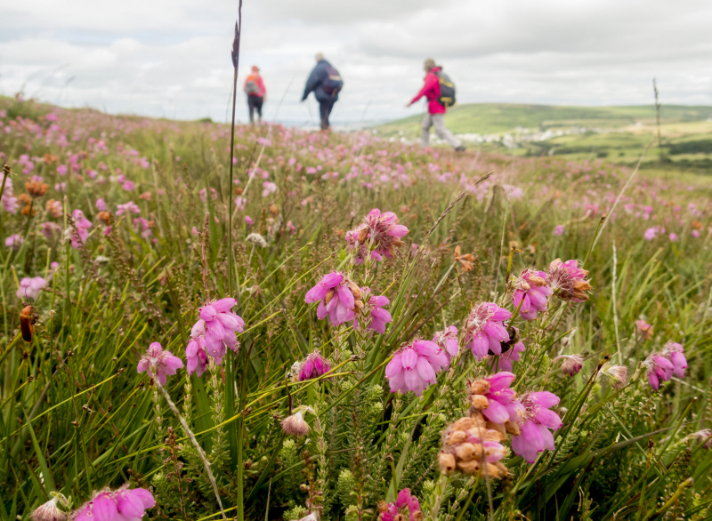
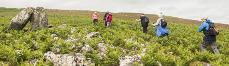
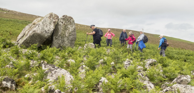
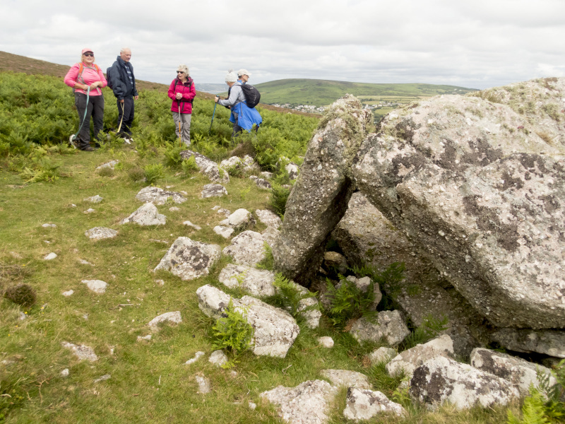
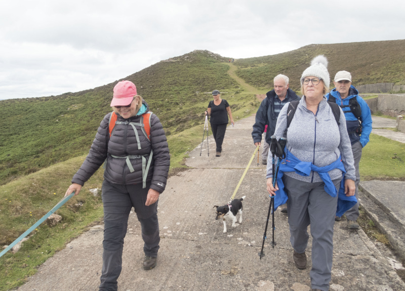
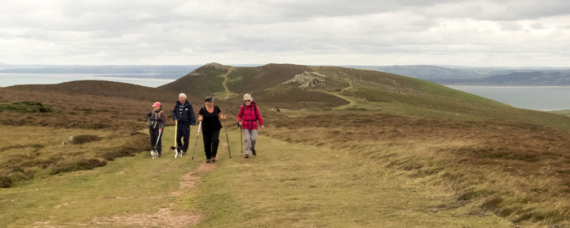
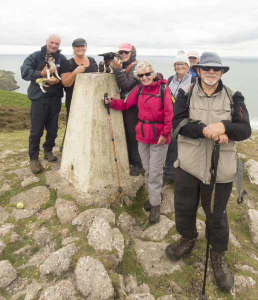
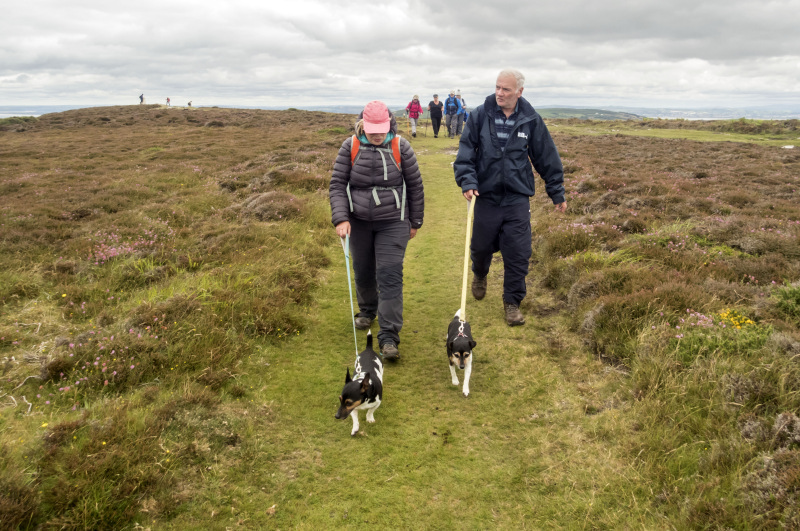
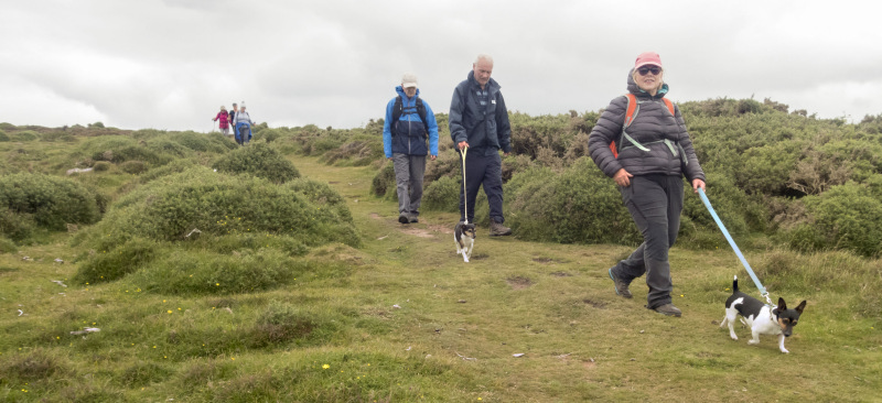
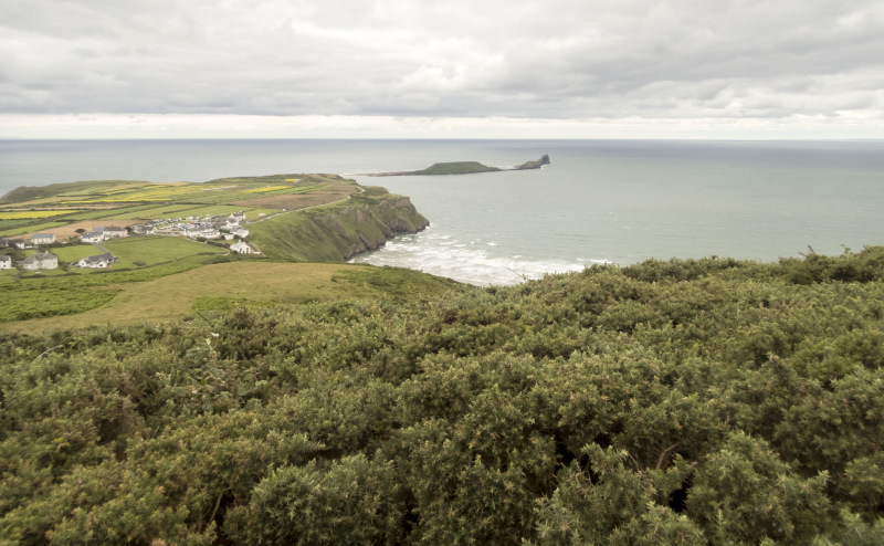
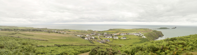
Swansea Ramblers met on a sunny Sunday for a gentle stroll onto Rhosili Down.

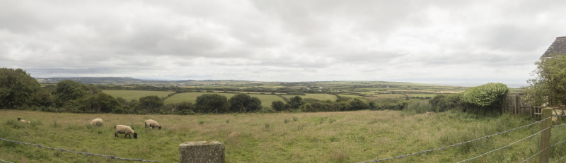
The leader bought us Welsh Cakes on route then we ate them lunch time while we sat admiring the view from the old Radar Station.

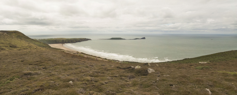
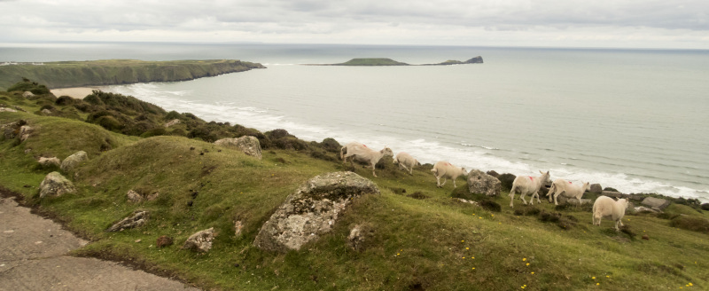
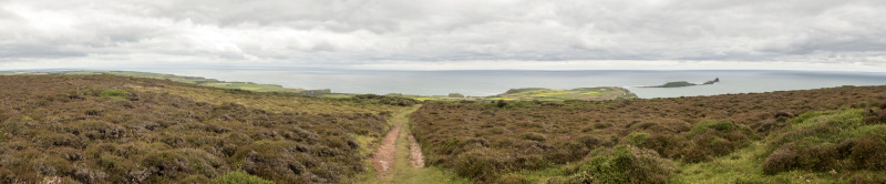
Afterwards, we sat in the Beer Garden of The Worms Head Hotel, enjoying refreshments and admiring the view across Rhosili Bay.   


Swansea Ramblers offer a range of walks for most abilities.

Try an easy walk of 2-3 hours or our longer strenuous mountain walks for the experienced walker.

Maybe you'd like to explore walking for the first time with a friendly group of people?
- Come with Swansea Ramblers!

If you'd like to try a Swansea walk then do come along and find out what the great outdoors is all about.

It won't cost you anything to come along and see if walking is for you.
You'll be very welcome to join us for three free walks.

If you enjoy walking with us and want to come on even more of our walks, just become a member.

When you join us for a Swansea Walk, ask us about the other walks and social events we do.


Photographs


Photograph of Walking Route - Image 1
Leader Lisa Skyrme


Photograph of Walking Route - Image 2
Walking through the Rhosili 'Vile' field system


Photograph of Walking Route - Image 3
The view east towards Port Eynon


Photograph of Walking Route - Image 4
At the base of Rhosili Down


Photograph of Walking Route - Image 5


Photograph of Walking Route - Image 6
Gradually ascending the north side of Rhosili Down


Photograph of Walking Route - Image 7


Photograph of Walking Route - Image 8


Photograph of Walking Route - Image 9
Sweyn's Howes Burial chambers


Photograph of Walking Route - Image 10


Photograph of Walking Route - Image 11


Photograph of Walking Route - Image 12
A new use for an old burial chamber!


Photograph of Walking Route - Image 13
Worm's Head


Photograph of Walking Route - Image 14


Photograph of Walking Route - Image 15
We visited the WWII Radar Station


Photograph of Walking Route - Image 16
And walked the ridge of the Down


Photograph of Walking Route - Image 17
The Trig Point was built on another burial chamber


Photograph of Walking Route - Image 18
We began the descent to the village


Photograph of Walking Route - Image 19


Photograph of Walking Route - Image 20


Photograph of Walking Route - Image 21


Photograph of Walking Route - Image 22
Journey's end below us


Ordnance Survey map of the route walked
Resizable and draggable
(Can be reset to original dimensions by refreshing the page)


All photographs Copyright  Andrew Morgan 2025
All rights reserved


Back to top

Our use of Cookies

Our Privacy Policy


Valid HTML 4.01 Transitional