Ramblers Cymru Logo Image of Countryside
Swansea Ramblers Logo
at the heart of walking


Swansea Ramblers


Tairgwaith

A 5-mile Wednesday walk

around the reclaimed land of East Pit

4th June 2025

Leader: Mike Clarke


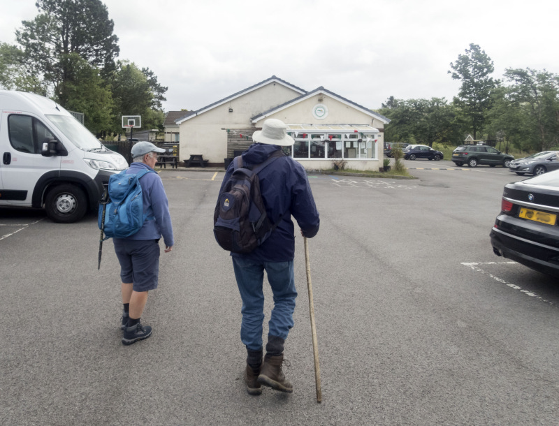
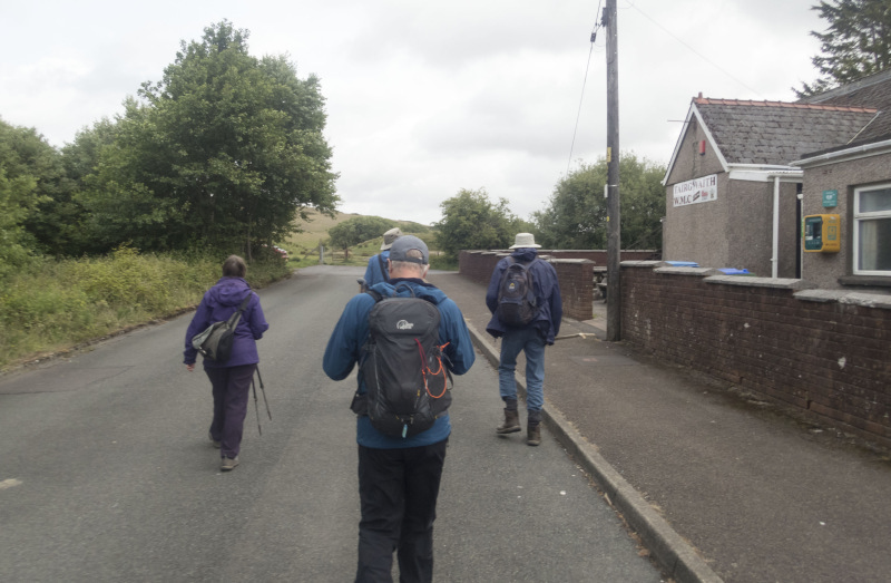
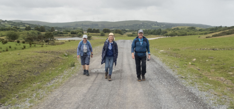
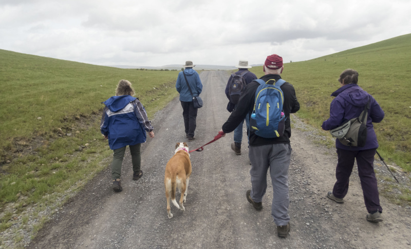
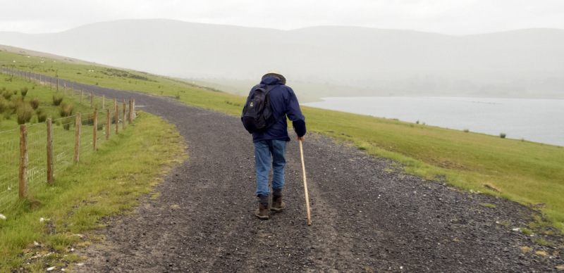
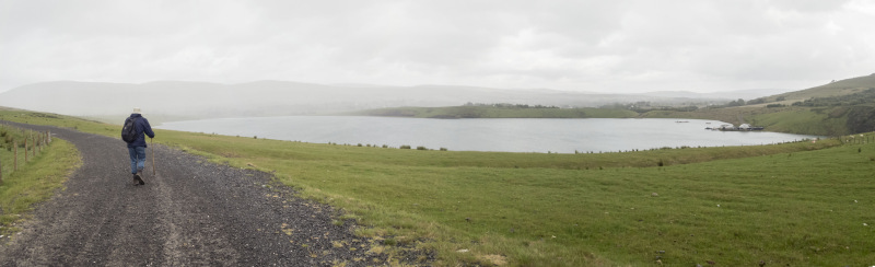
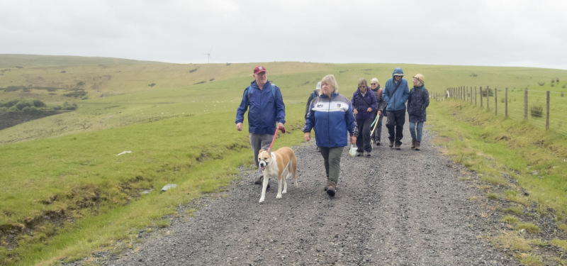
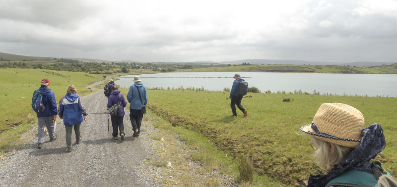
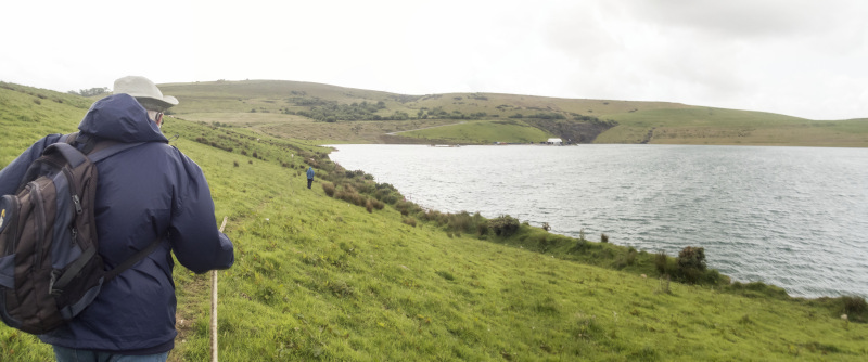
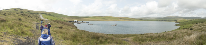
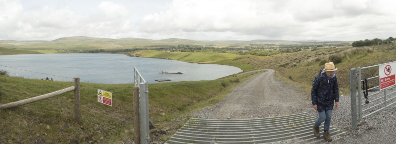
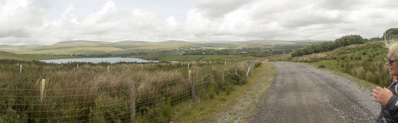
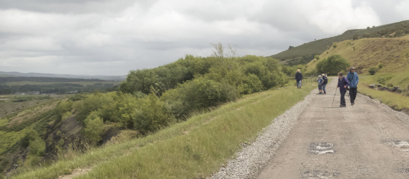
Swansea Ramblers had a weekday walk near Gwaun-Cae-Gurwen, north of Pontardawe.

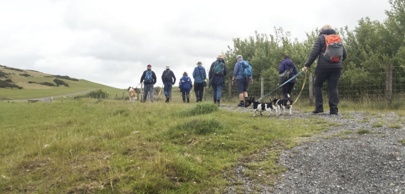
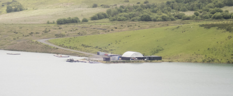
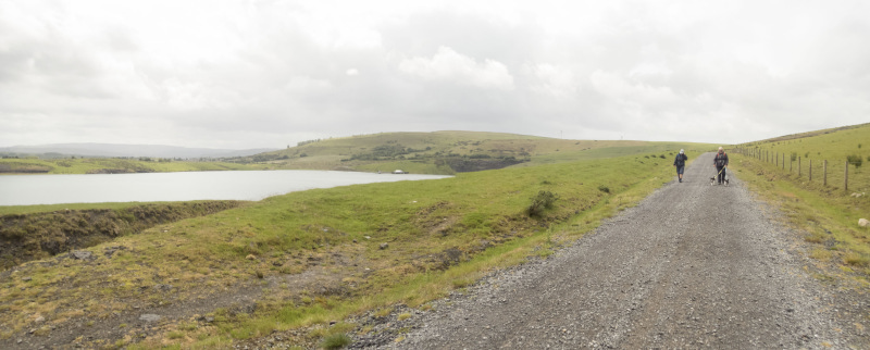
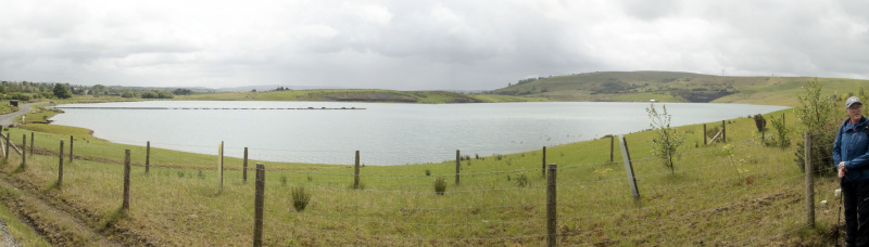
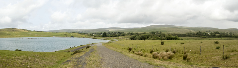
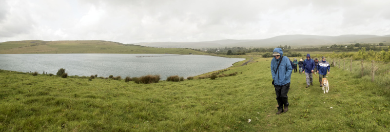
Braving the forecast of showers, 10 of us met in Tairgwaith to walk around part of the reclaimed land where East Pit undertook open cast coal mining.

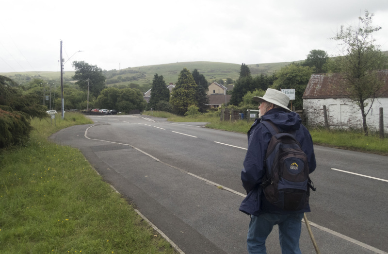
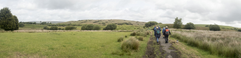
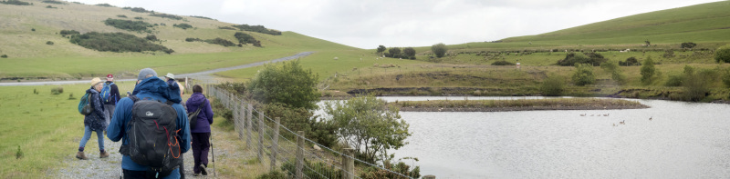
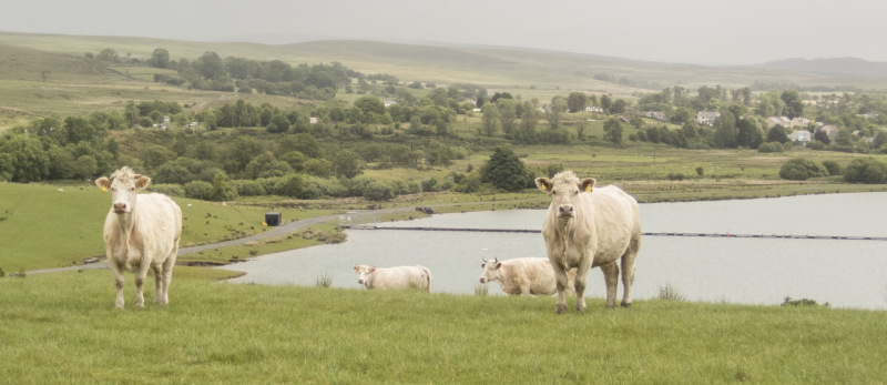
A large lake has been created and the land re-grassed.

Sheep and Cattle graze the land and the surounding hill ridges looked inviting for another day's walking.

We did have a couple of short showers but for the most part we had a dry day and an enjoyable walk in an area we don't often visit.   


Swansea Ramblers offer a range of walks for most abilities.

Try an easy walk of 2-3 hours or our longer strenuous mountain walks for the experienced walker.

Maybe you'd like to explore walking for the first time with a friendly group of people?
- Come with Swansea Ramblers!

If you'd like to try a Swansea walk then do come along and find out what the great outdoors is all about.

It won't cost you anything to come along and see if walking is for you.
You'll be very welcome to join us for three free walks.

If you enjoy walking with us and want to come on even more of our walks, just become a member.

When you join us for a Swansea Walk, ask us about the other walks and social events we do.


Photographs


Photograph of Walking Route - Image 1
Leader Mike Clarke


Photograph of Walking Route - Image 2
We began our walk in Tairgwaith


Photograph of Walking Route - Image 3
Still evidence of storm damage


Photograph of Walking Route - Image 4


Photograph of Walking Route - Image 5


Photograph of Walking Route - Image 6
We left the village and walked over an area once black with mining


Photograph of Walking Route - Image 7


Photograph of Walking Route - Image 8
Where now the land is green and there are ponds


Photograph of Walking Route - Image 9


Photograph of Walking Route - Image 10
We had panoramic mountain views all around us


Photograph of Walking Route - Image 11


Photograph of Walking Route - Image 12
But the rain showers came in


Photograph of Walking Route - Image 13
Which didn't last long


Photograph of Walking Route - Image 14


Photograph of Walking Route - Image 15
A new watersports facility on an old open-cast pit


Photograph of Walking Route - Image 16


Photograph of Walking Route - Image 17
Sheep and cattle now graze the reclaimed land


Photograph of Walking Route - Image 18
And an 'open-cast' lake has been created


Photograph of Walking Route - Image 19


Photograph of Walking Route - Image 20


Photograph of Walking Route - Image 21
Another short, light shower


Photograph of Walking Route - Image 22
As we circled around the lake


Photograph of Walking Route - Image 23


Photograph of Walking Route - Image 24


Photograph of Walking Route - Image 25
We left behnd the lake


Photograph of Walking Route - Image 26
And made our way back to the start


Ordnance Survey map of the route walked
Resizable and draggable
(Can be reset to original dimensions by refreshing the page)


All photographs Copyright  Andrew Morgan 2025
All rights reserved


Back to top

Our use of Cookies

Our Privacy Policy


Valid HTML 4.01 Transitional