Ramblers Cymru Logo Image of Countryside
Swansea Ramblers Logo
at the heart of walking


Swansea Ramblers


Machynlleth Weekend Away:

Cadair Idris and surrounding area

5th April 2025

Leader: Tim Gronow


Swansea Ramblers had a weekend away, staying in Machynlleth and having two walks on the Saturday then two on the Sunday.

The harder walk was originally to be to the summit of Cadair Idris.

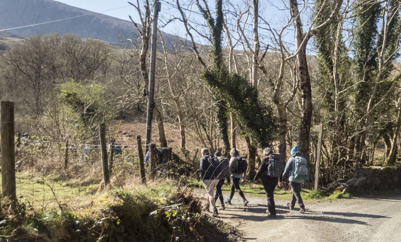
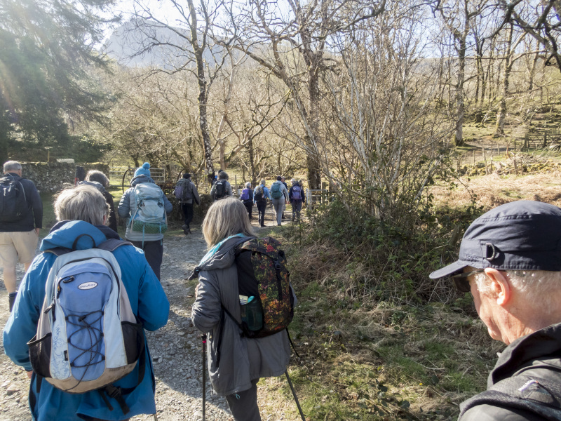
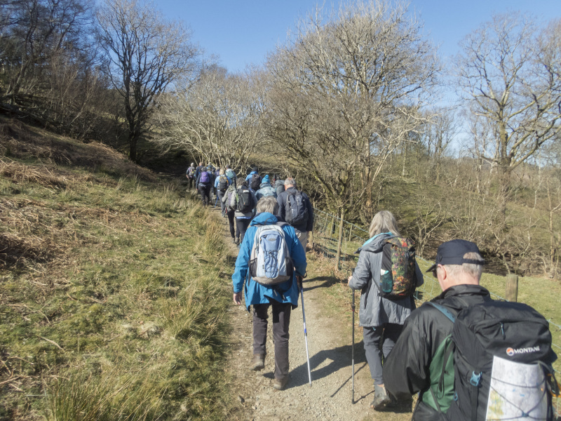
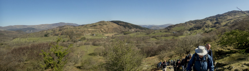
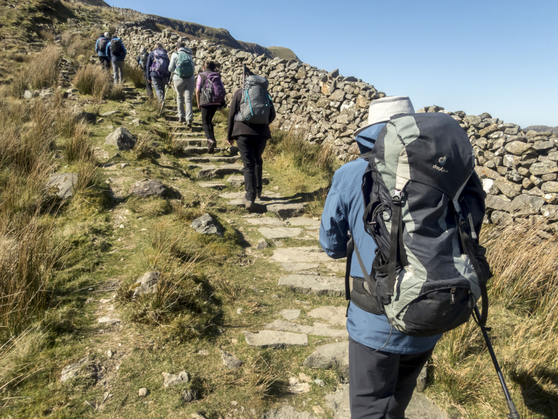
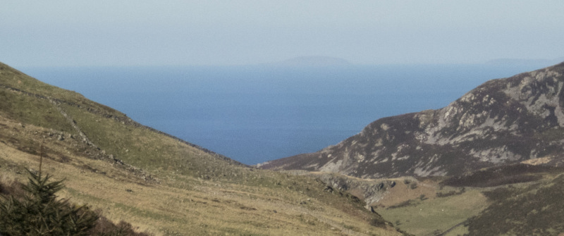
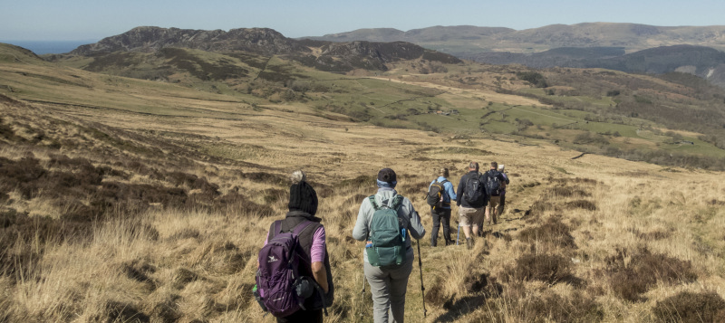
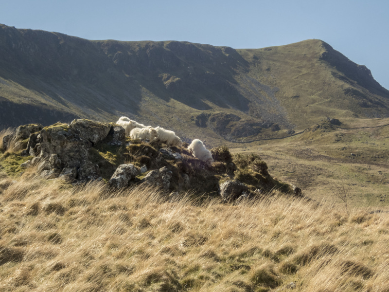
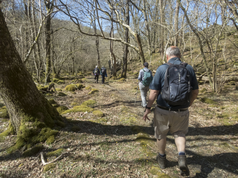
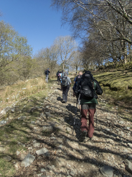
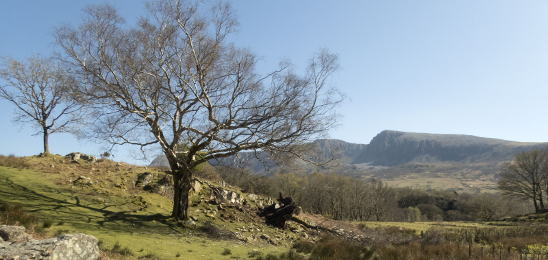
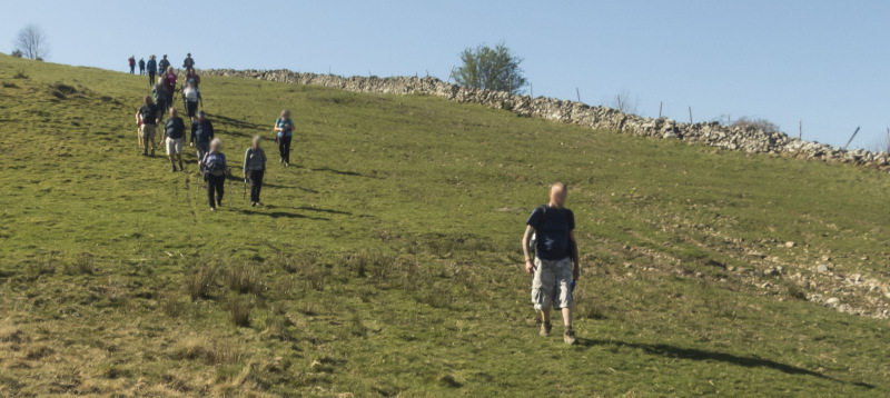
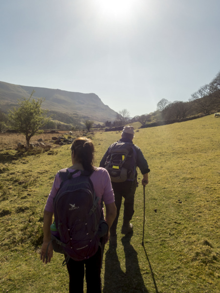
We climbed a steep path for about a mile in beautiful sunny weather, although the air was still cold.

As we got to more a more rocky section, the wind became so strong that it would have been dangerous to take a group up any further.

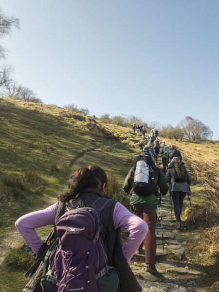
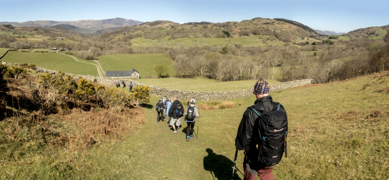
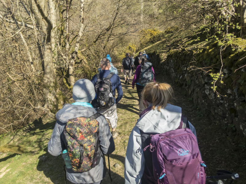
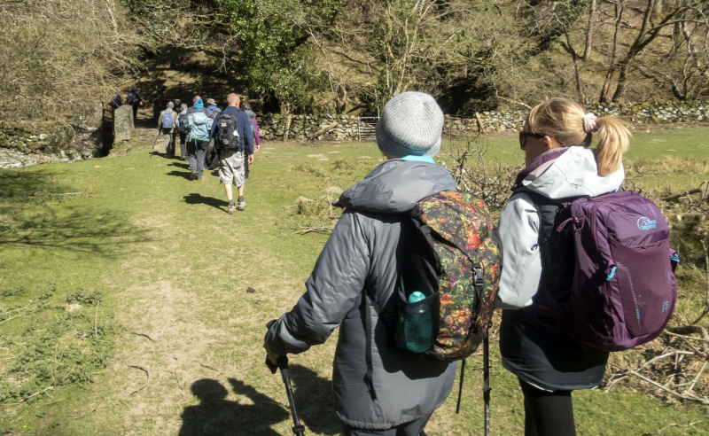
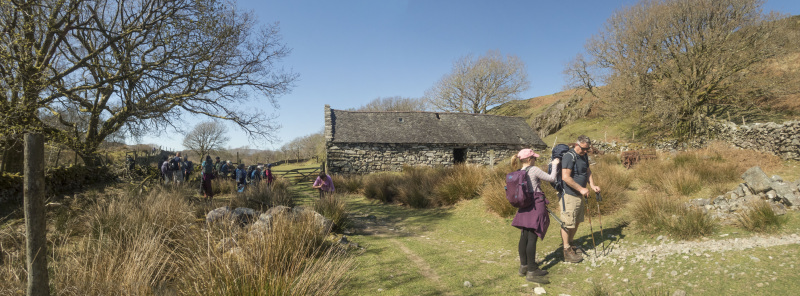
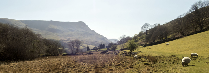
The leader decided the safest thing was to turn around and descend in order to do a low level walk to the north.

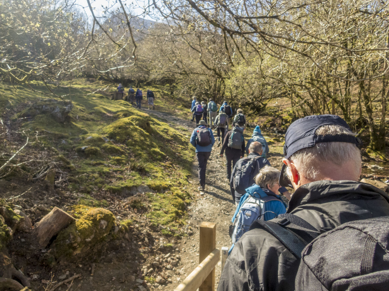
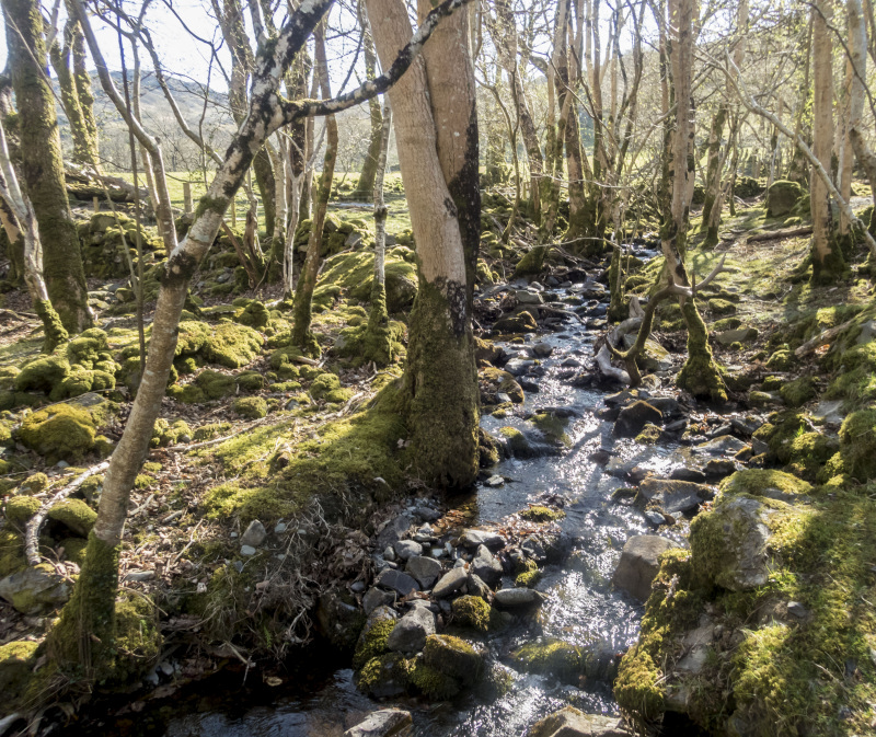
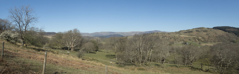
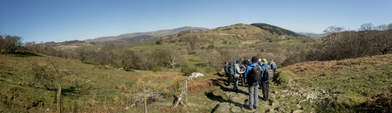
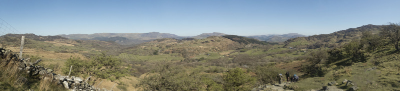
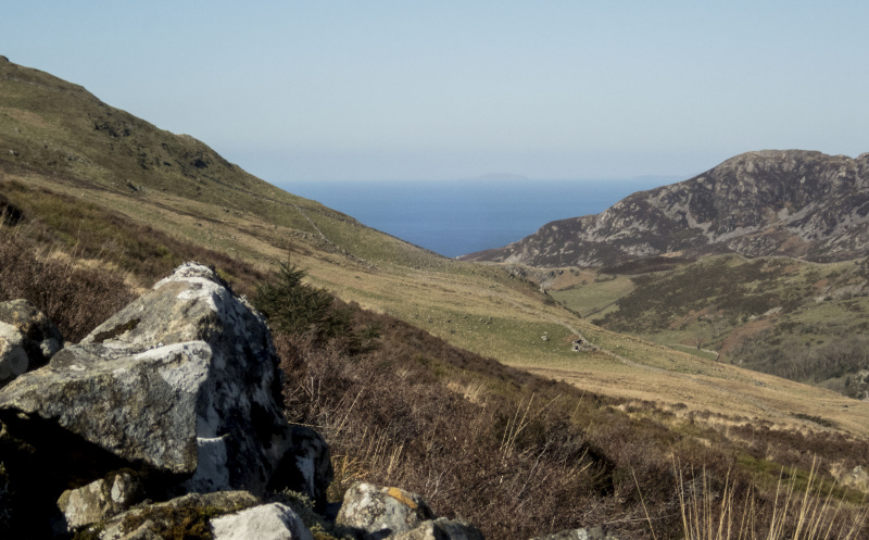
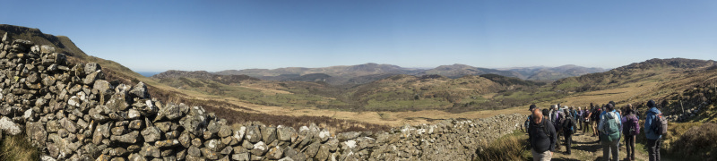
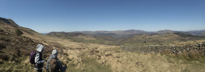
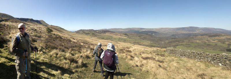
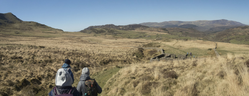
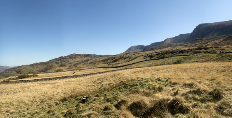
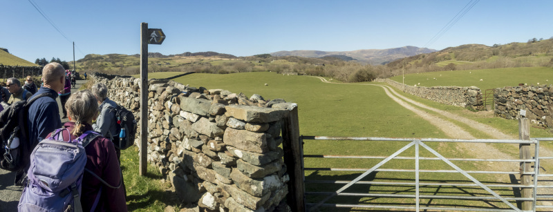
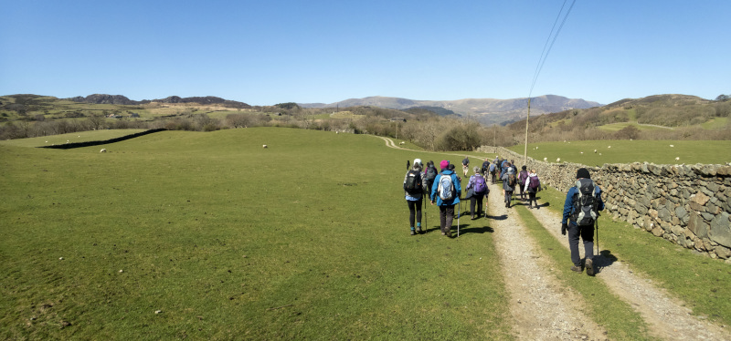
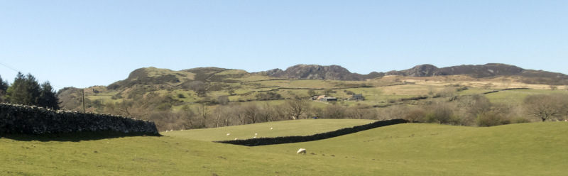
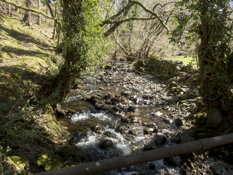
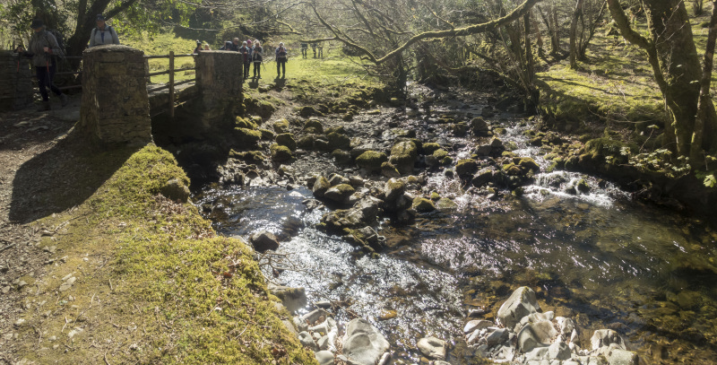
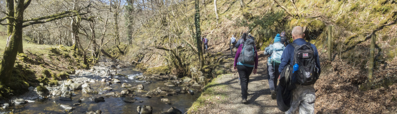
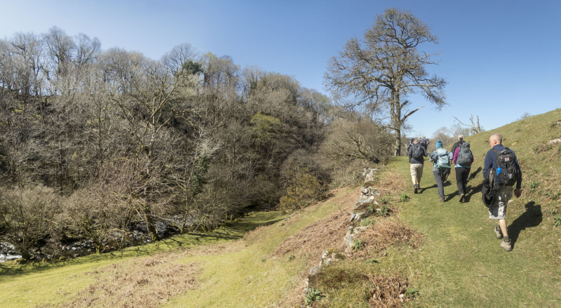
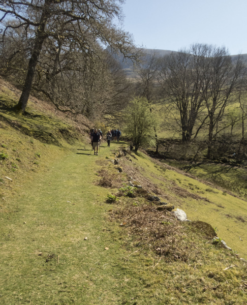
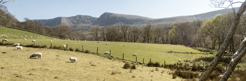
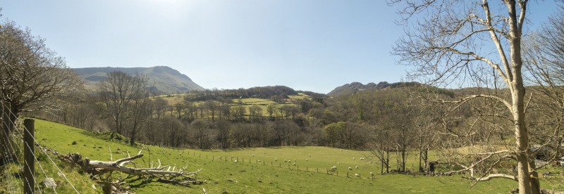
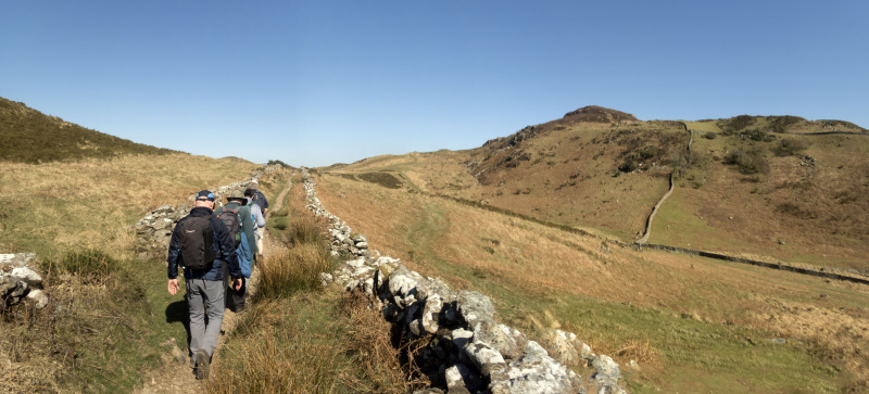
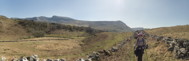
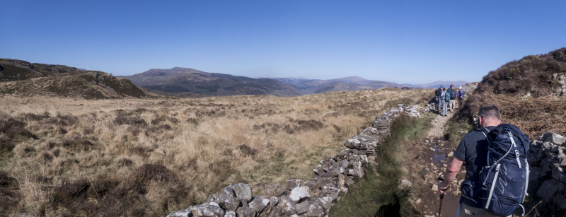
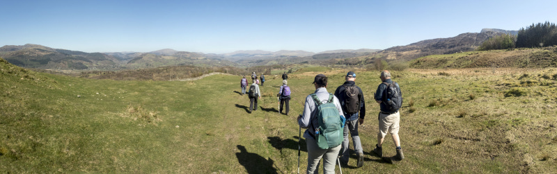
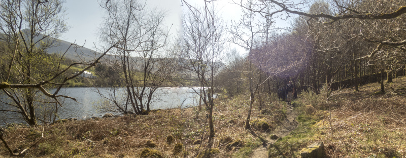
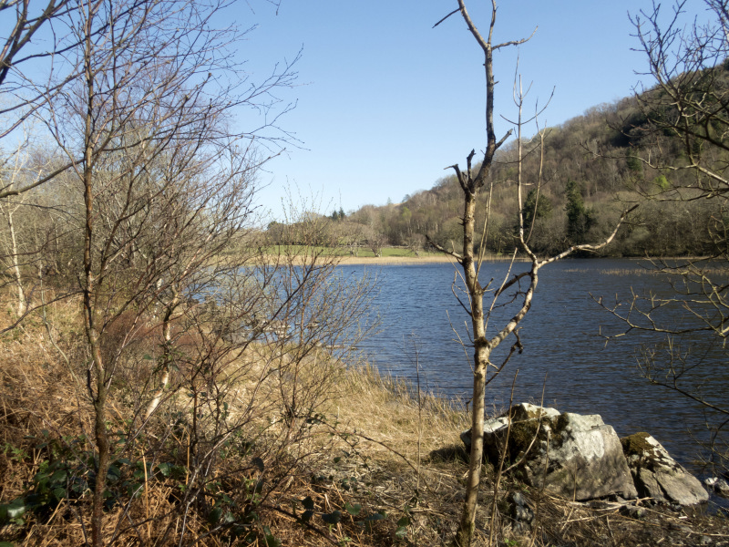
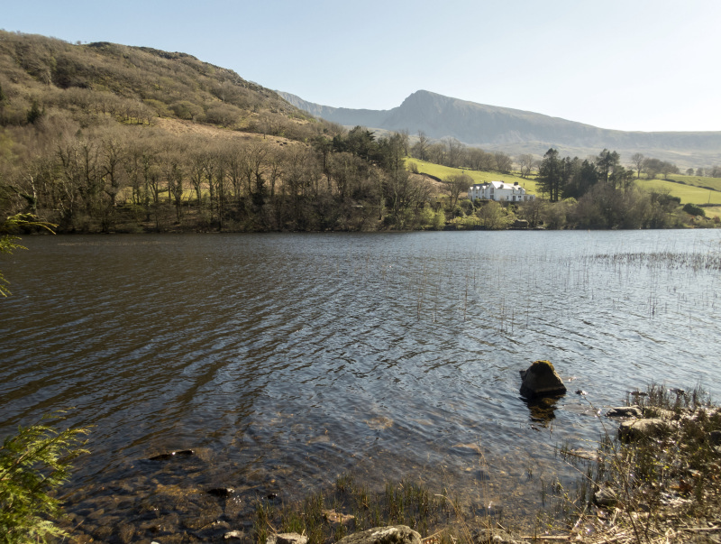
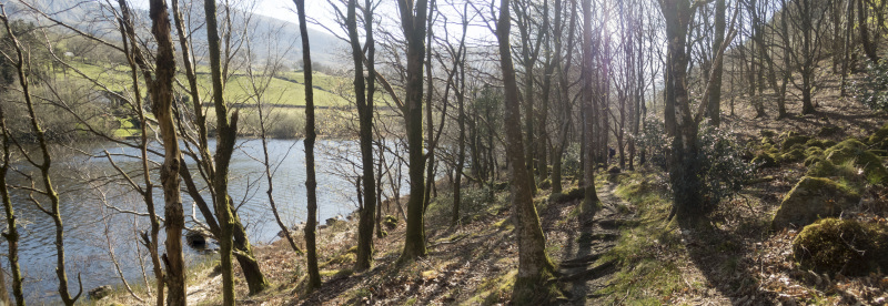
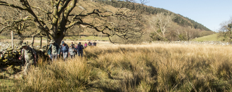
We had a lovely walk along a valley next to a stream then ascended a mountain pass with a panorama of the mountains around us.

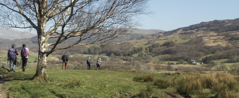
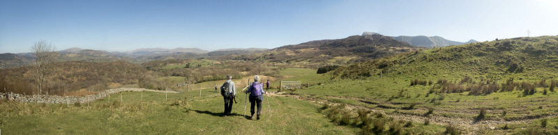
We returned next to a lake then some of us had refreshments in Dollgellau.

Another great walk with Swansea Ramblers.   


Swansea Ramblers offer a range of walks for most abilities.

Try an easy walk of 2-3 hours or our longer strenuous mountain walks for the experienced walker.

Maybe you'd like to explore walking for the first time with a friendly group of people?
- Come with Swansea Ramblers!

If you'd like to try a Swansea walk then do come along and find out what the great outdoors is all about.

It won't cost you anything to come along and see if walking is for you.
You'll be very welcome to join us for three free walks.

If you enjoy walking with us and want to come on even more of our walks, just become a member.

When you join us for a Swansea Walk, ask us about the other walks and social events we do.


Photographs


Photograph of Walking Route - Image 1
We started from Ty Nant


Photograph of Walking Route - Image 2


Photograph of Walking Route - Image 3
And began the ascent of Cadair Idris


Photograph of Walking Route - Image 4


Photograph of Walking Route - Image 5
It was a fine, sunny day


Photograph of Walking Route - Image 6


Photograph of Walking Route - Image 7


Photograph of Walking Route - Image 8
It seemed a perfect day to go up the mountain


Photograph of Walking Route - Image 9


Photograph of Walking Route - Image 10


Photograph of Walking Route - Image 11
It started to become more windy


Photograph of Walking Route - Image 12
Yet it was a beautiful sunny day


Photograph of Walking Route - Image 13
We could just make out the Llŷn Peninsula


Photograph of Walking Route - Image 14
But it became so windy, we couldn't risk climbing any further


Photograph of Walking Route - Image 15
So we began the descent


Photograph of Walking Route - Image 16
And did a lower level walk


Photograph of Walking Route - Image 17


Photograph of Walking Route - Image 18


Photograph of Walking Route - Image 19
Looking back to Cadair, you wouldn't think it was too dangerous to have gone on


Photograph of Walking Route - Image 20


Photograph of Walking Route - Image 21


Photograph of Walking Route - Image 22


Photograph of Walking Route - Image 23


Photograph of Walking Route - Image 24


Photograph of Walking Route - Image 25


Photograph of Walking Route - Image 26


Photograph of Walking Route - Image 27


Photograph of Walking Route - Image 28
We followed a stream for a while


Photograph of Walking Route - Image 29


Photograph of Walking Route - Image 30


Photograph of Walking Route - Image 31
Then stopped for lunch in the sunshine, by that tree


Photograph of Walking Route - Image 32


Photograph of Walking Route - Image 33
We turned west to circle around


Photograph of Walking Route - Image 34
Still with views towards Cadair


Photograph of Walking Route - Image 35


Photograph of Walking Route - Image 36
Still had some ascent to do


Photograph of Walking Route - Image 37


Photograph of Walking Route - Image 38


Photograph of Walking Route - Image 39
We followed an old farm track across the mountain


Photograph of Walking Route - Image 40


Photograph of Walking Route - Image 41


Photograph of Walking Route - Image 42
Then descended again


Photograph of Walking Route - Image 43


Photograph of Walking Route - Image 44


Photograph of Walking Route - Image 45


Photograph of Walking Route - Image 46
We turned east alongside the lake


Photograph of Walking Route - Image 47


Photograph of Walking Route - Image 48


Photograph of Walking Route - Image 49


Photograph of Walking Route - Image 50
Nearly back at Ty Nant


Photograph of Walking Route - Image 51


Photograph of Walking Route - Image 52
Then we were back at the start


Ordnance Survey map of the route walked
Resizable and draggable
(Can be reset to original dimensions by refreshing the page)


All photographs Copyright  Andrew Morgan 2025
All rights reserved


Back to top

Our use of Cookies

Our Privacy Policy


Valid HTML 4.01 Transitional