Ramblers Cymru Logo Image of Countryside
Swansea Ramblers Logo
at the heart of walking


Swansea Ramblers


Rhosili Down and Llanmadoc Hill

An 8.5 mile Sunday walk

12th January 2025

Leader: Karen Gibbs


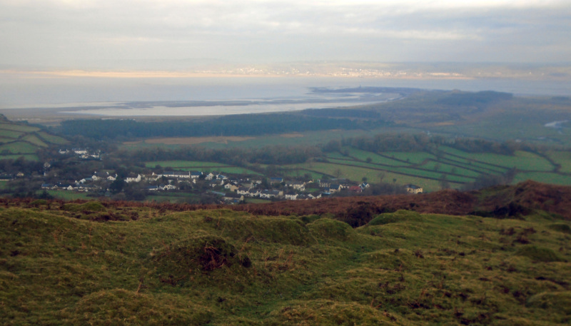
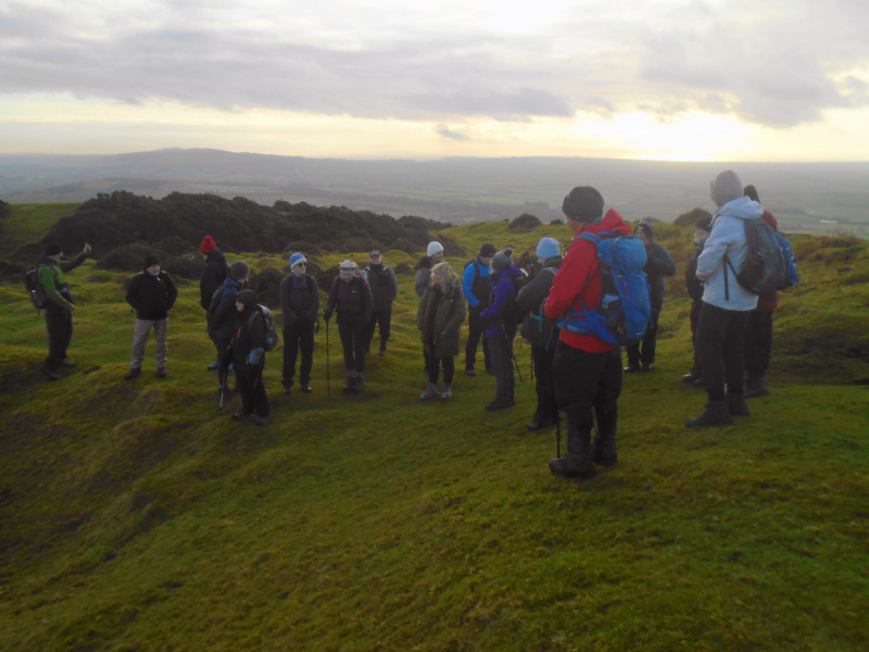
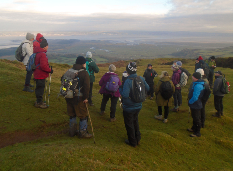
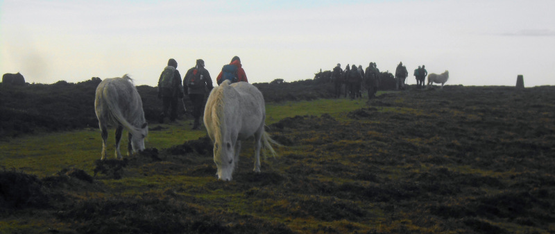
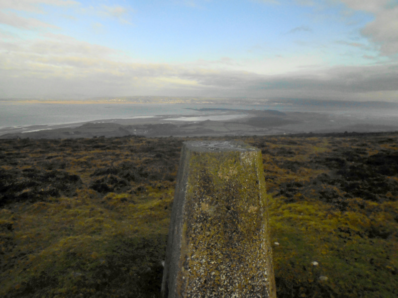
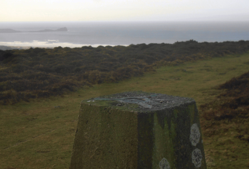
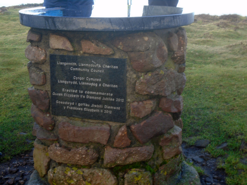
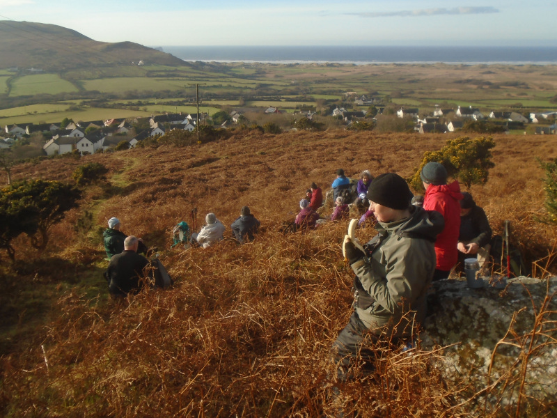
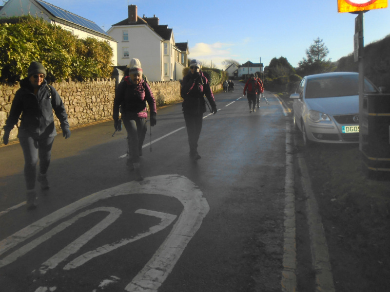
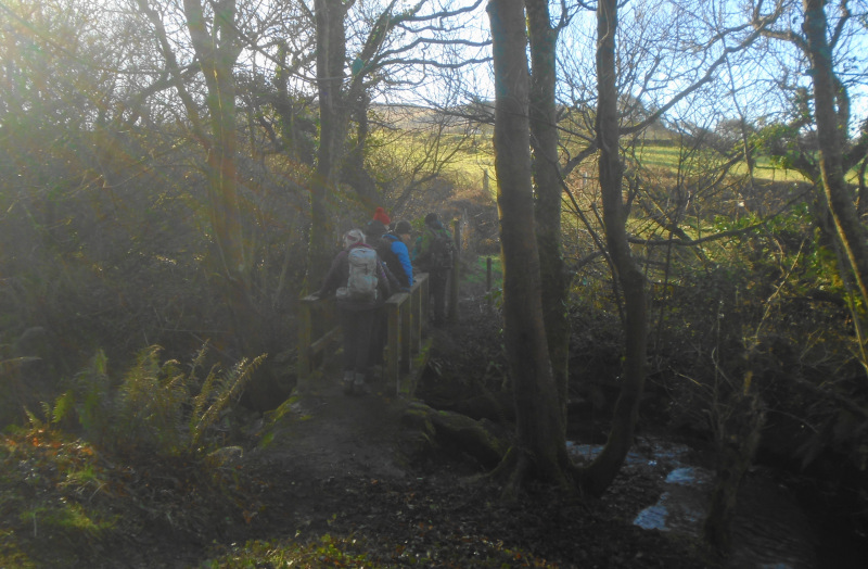
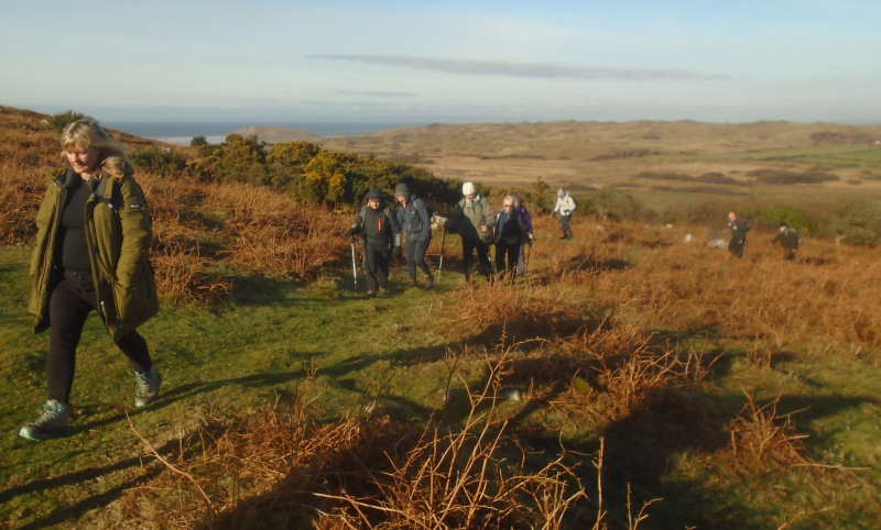
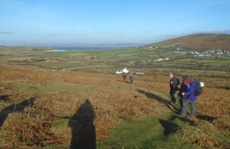
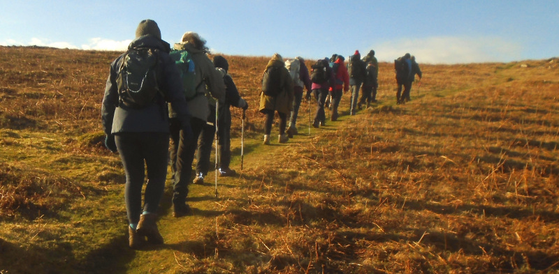
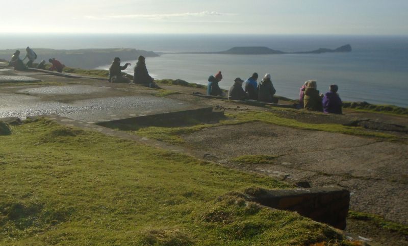
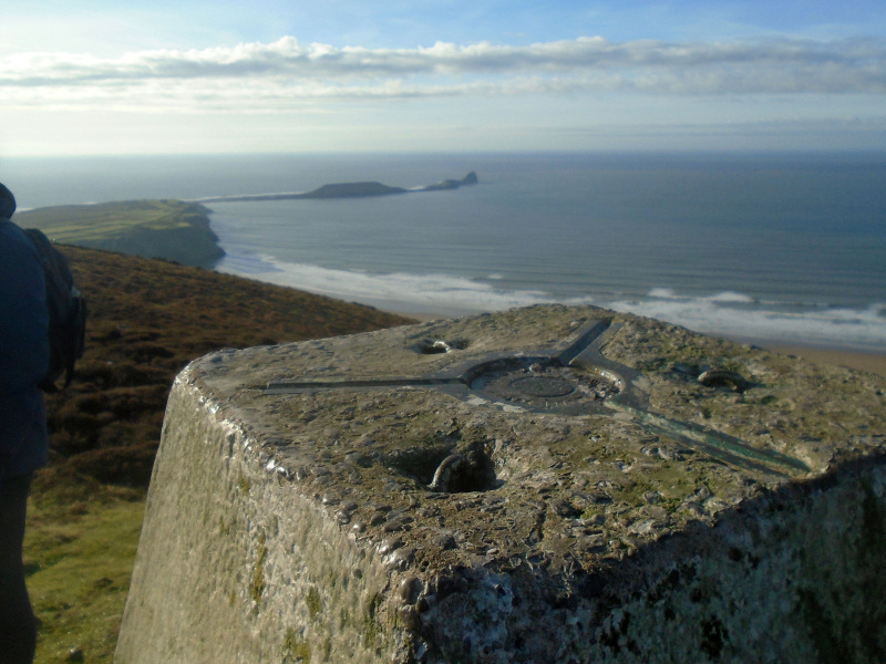
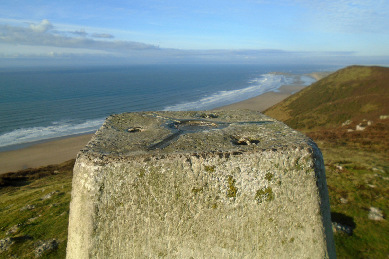
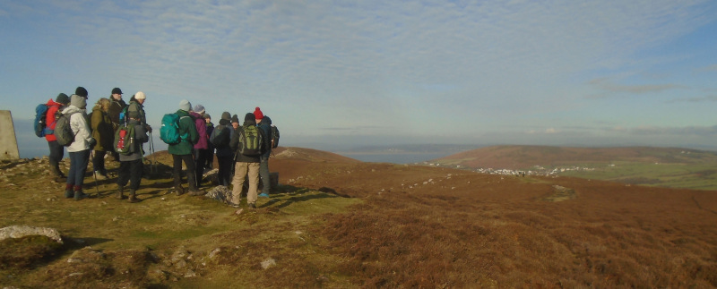
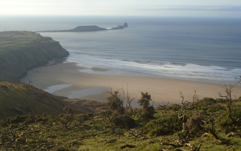
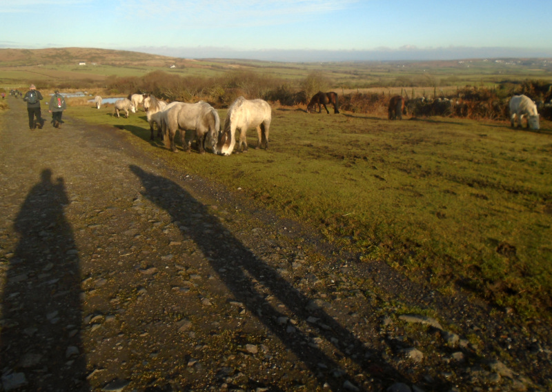
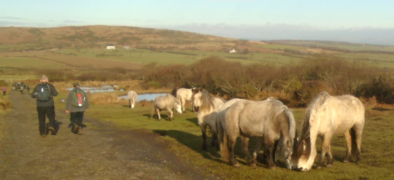
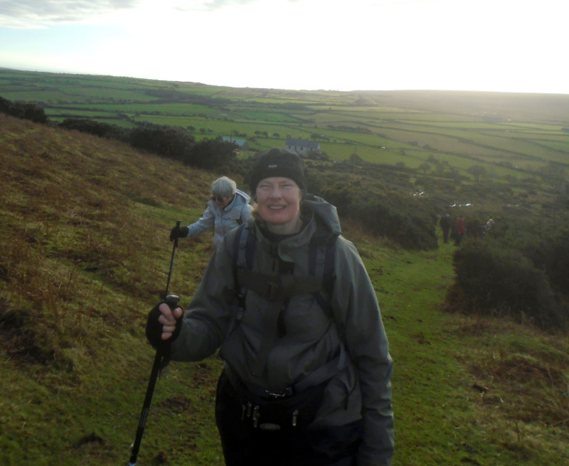
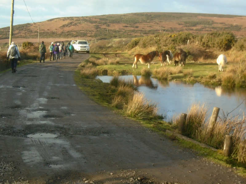
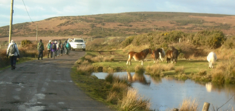
Swansea Ramblers climbed one hill and two downs at the western end of Gower.    Starting at Tankeylake above Llangennith, we enjoyed a walk over Hardings Down, Rhosili Down and Llanmadoc Hill.   


Swansea Ramblers offer a range of walks for most abilities.

Try an easy walk of 2-3 hours or our longer strenuous mountain walks for the experienced walker.

Maybe you'd like to explore walking for the first time with a friendly group of people?
- Come with Swansea Ramblers!

If you'd like to try a Swansea walk then do come along and find out what the great outdoors is all about.

It won't cost you anything to come along and see if walking is for you.
You'll be very welcome to join us for three free walks.

If you enjoy walking with us and want to come on even more of our walks, just become a member.

When you join us for a Swansea Walk, ask us about the other walks and social events we do.


Photographs


Photograph of Walking Route - Image 1
The view of Whiteford from Llanmadoc Down


Photograph of Walking Route - Image 2
Standing on 'The Bulwark', an Iron Age Hillfort


Photograph of Walking Route - Image 3


Photograph of Walking Route - Image 4


Photograph of Walking Route - Image 5
The Bulwark Trig Point looking north to Whitford


Photograph of Walking Route - Image 6
And to the south, Worm's Head


Photograph of Walking Route - Image 7
The Diamond Jubilee Toposcope


Photograph of Walking Route - Image 8
we had a stop overlooking Llangennith


Photograph of Walking Route - Image 9
Then passed through the village


Photograph of Walking Route - Image 10


Photograph of Walking Route - Image 11
And ascended he northern side of Rhosili Down


Photograph of Walking Route - Image 12
With great views back to Llanmadoc Down and across the Loughor Estuary


Photograph of Walking Route - Image 13


Photograph of Walking Route - Image 14
We took another break at the WWII Radar Station


Photograph of Walking Route - Image 15
The Rhosili Down Trig Point and Worm's Head


Photograph of Walking Route - Image 16
Looking north to Burry Holm


Photograph of Walking Route - Image 17


Photograph of Walking Route - Image 18


Photograph of Walking Route - Image 19
Our return was back towards Llangennith


Photograph of Walking Route - Image 20


Photograph of Walking Route - Image 21


Photograph of Walking Route - Image 22
And past the Pond heading for Tankeylake Moor


Photograph of Walking Route - Image 23


Photograph of Walking Route - Image 24
Our final post-walk stop was in the Kings Head, Llangennith


All photographs Copyright  C. Sweeney 2025
All rights reserved


Back to top

Our use of Cookies

Our Privacy Policy


Valid HTML 4.01 Transitional