Ramblers Cymru Logo Image of Countryside
Swansea Ramblers Logo
at the heart of walking


Swansea Ramblers Walk


Pennard and Pwlldu

A 4-mile Monday walk

11th March 2024

Leader: Clive Scott


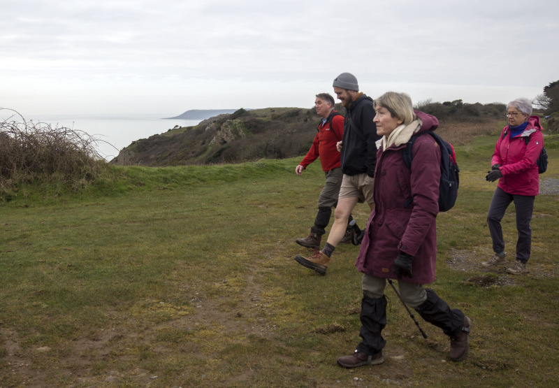
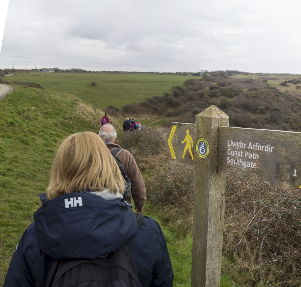
Swansea Ramblers had a walk with History and Geology along the way.

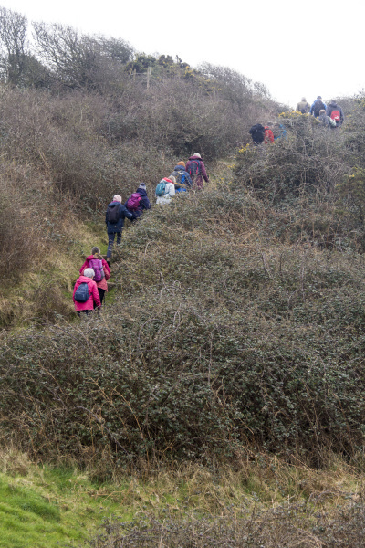
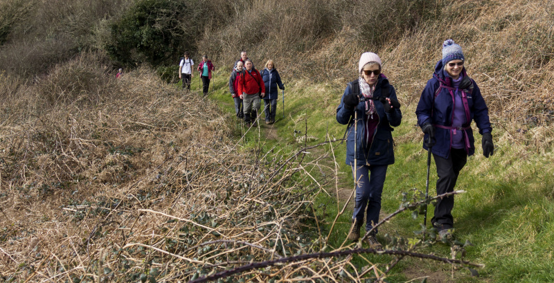
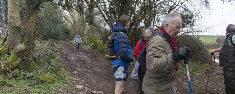
Eighteen Ramblers met up at Pennard Cliffs to showcase Swansea Council’s ‘Taste of Gower’ initiative and the Bishopston & Pennard ‘Walkers are Welcome’ scheme.   We were joined by a council photographer taking publicity photographs to advertise Gower.   
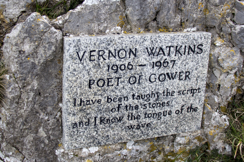
Also with us was Helen Nicholas from 'Gower Unearthed' who told us about the history of the area.   
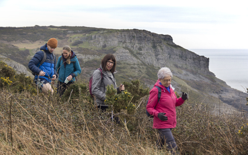
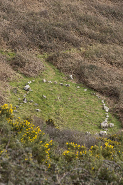
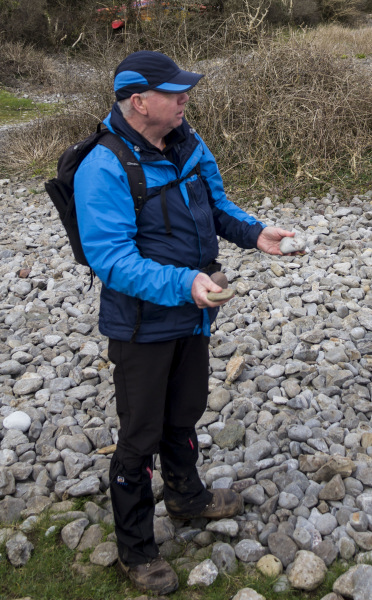
One of our members then explained the Geology of Gower and how it had formed millons of years ago in a 'Bahamas-like' shallow sea.

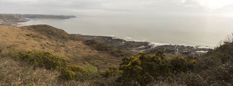
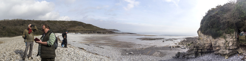
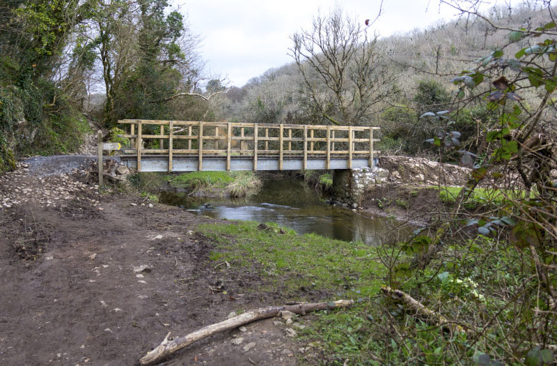
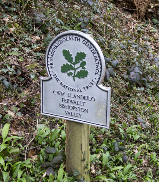
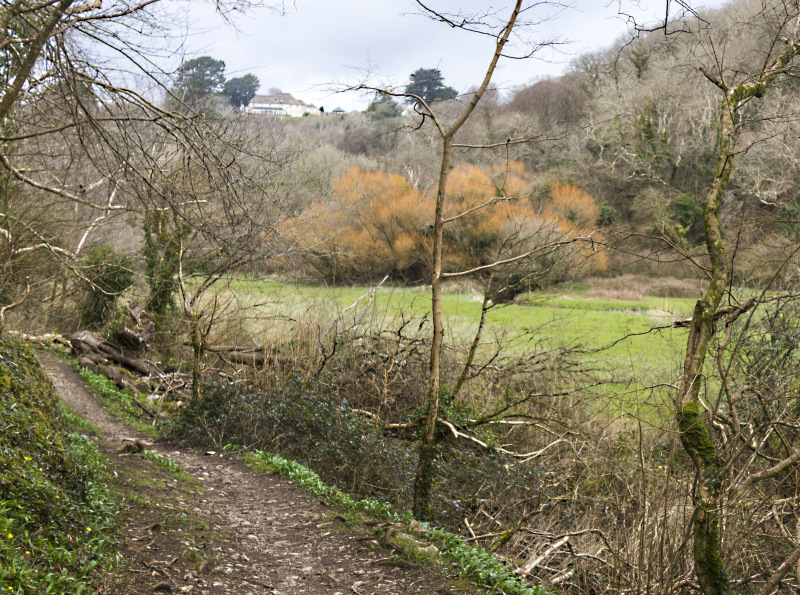
We had a stop on the beach at Pwlldu then returned via Bishopston Valley and Hael Lane.   After the walk, some of us went to the Three Cliffs Coffee shop for refreshments.

Another lovely walk with Swansea Ramblers.   


Swansea Ramblers offer a range of walks for most abilities.

Try an easy walk of 2-3 hours or our longer strenuous mountain walks for the experienced walker.

Maybe you'd like to explore walking for the first time with a friendly group of people?
- Come with Swansea Ramblers!

If you'd like to try a Swansea walk then do come along and find out what the great outdoors is all about.

It won't cost you anything to come along and see if walking is for you.
You'll be very welcome to join us for three free walks.

If you enjoy walking with us and want to come on even more of our walks, just become a member.

When you join us for a Swansea Walk, ask us about the other walks and social events we do.


Photographs


Photograph of Walking Route - Image 1
Leader Clive Scott


Photograph of Walking Route - Image 2
We set off from Pennard


Photograph of Walking Route - Image 3
And headed over East Cliff


Photograph of Walking Route - Image 4
Making our way along East Cliff


Photograph of Walking Route - Image 5


Photograph of Walking Route - Image 6
We visited the plaque to Vernon Watkins


Photograph of Walking Route - Image 7


Photograph of Walking Route - Image 8
We took it in turns to go down to the plaque


Photograph of Walking Route - Image 9
An inspiring area for the poet


Photograph of Walking Route - Image 10
And inspiring for everybody else!


Photograph of Walking Route - Image 11
We continued eastward along the Wales Coast Path


Photograph of Walking Route - Image 12


Photograph of Walking Route - Image 13


Photograph of Walking Route - Image 14


Photograph of Walking Route - Image 15
A bit of up and down on the coast


Photograph of Walking Route - Image 16


Photograph of Walking Route - Image 17
Worth it for the views


Photograph of Walking Route - Image 18
Then a more sombre site


Photograph of Walking Route - Image 19
Below was said to be the burial site of drowned press-ganged men


Photograph of Walking Route - Image 20
So we descended to the site


Photograph of Walking Route - Image 21
Where Helen told us about the history of the Wrecked Caesar


Photograph of Walking Route - Image 22


Photograph of Walking Route - Image 23
We ascended once more


Photograph of Walking Route - Image 24
To the cliff top path


Photograph of Walking Route - Image 25
For views over Pwlldu and Caswell


Photograph of Walking Route - Image 26
Then across the field


Photograph of Walking Route - Image 27
Before the descent to Pwlldu


Photograph of Walking Route - Image 28
We had a catch up and said goodbye to a few who took the short cut back


Photograph of Walking Route - Image 29
Then down to Pwlldu


Photograph of Walking Route - Image 30
Where we stopped for lunch


Photograph of Walking Route - Image 31
And Mike showed us the pebbles which were millions of years old


Photograph of Walking Route - Image 32
He explained from where these were likely to have originated.


Photograph of Walking Route - Image 33
We came to the bridge the Ramblers Path Maintenance Team recently installed


Photograph of Walking Route - Image 34
So time for a photo!


Photograph of Walking Route - Image 35
Then walked north up Bishopston Valley


Photograph of Walking Route - Image 36
The valley had its winter colours


Photograph of Walking Route - Image 37
The path has been improved here


Photograph of Walking Route - Image 38
But not here!


Photograph of Walking Route - Image 39
We left the valley by ascending Hael Lane


Photograph of Walking Route - Image 40
Which returned us to East Cliff


Ordnance Survey map of the route walked
Resizable and draggable
(Can be reset to original dimensions by refreshing the page)
Green Swansea Ramblers logo markers where present can be clicked to provide more information


All photographs Copyright  Andrew Morgan 2024
All rights reserved


Back to top

Our use of Cookies

Our Privacy Policy


Valid HTML 4.01 Transitional