Ramblers Cymru Logo Image of Countryside
Swansea Ramblers Logo
at the heart of walking


Swansea Ramblers Walk


Troserch Woods

An 8-mile (4 hour) Tuesday walk

30th January 2024

Leaders: Alan and Eleanor Strawbridge


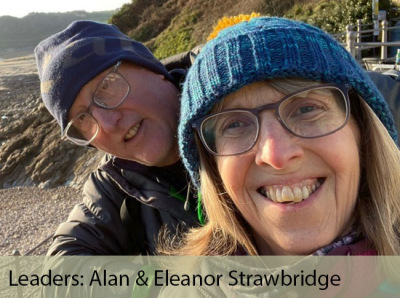
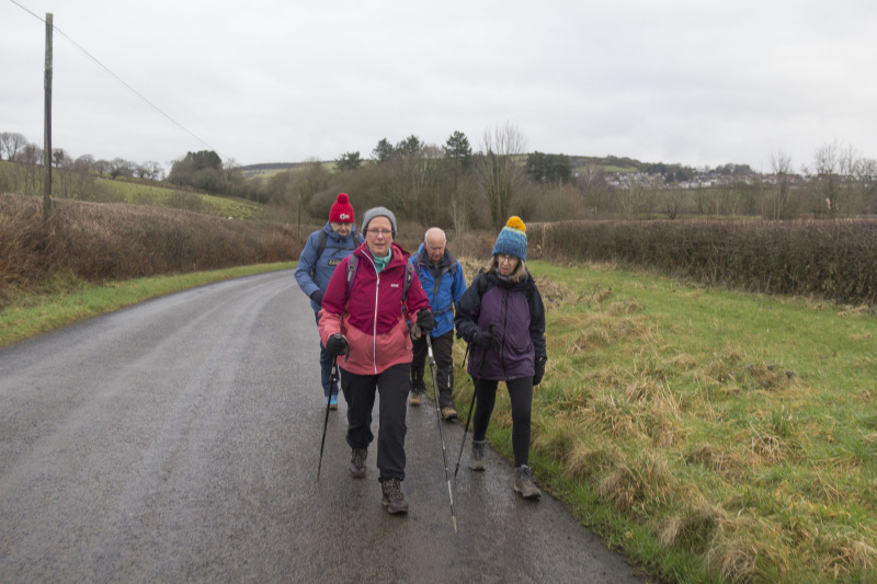
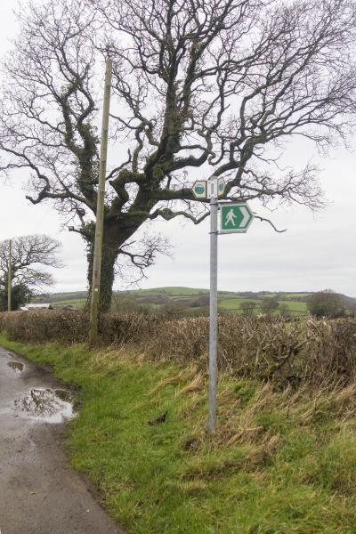
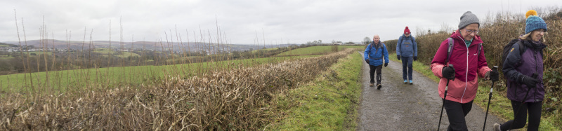
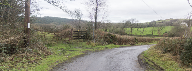
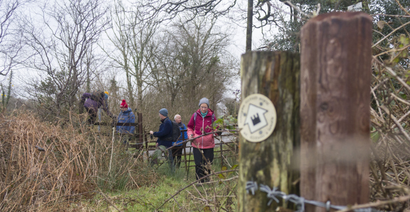
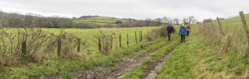
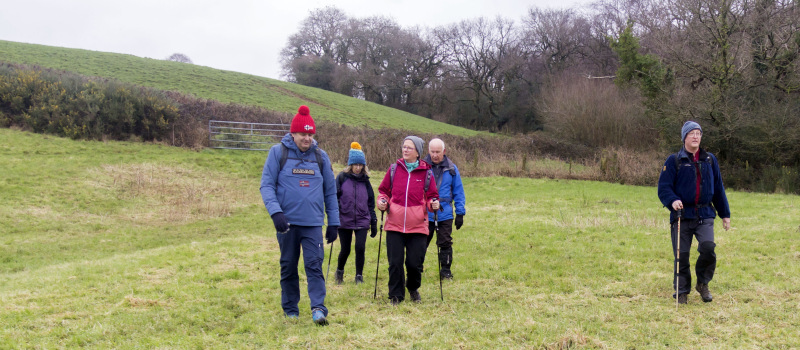
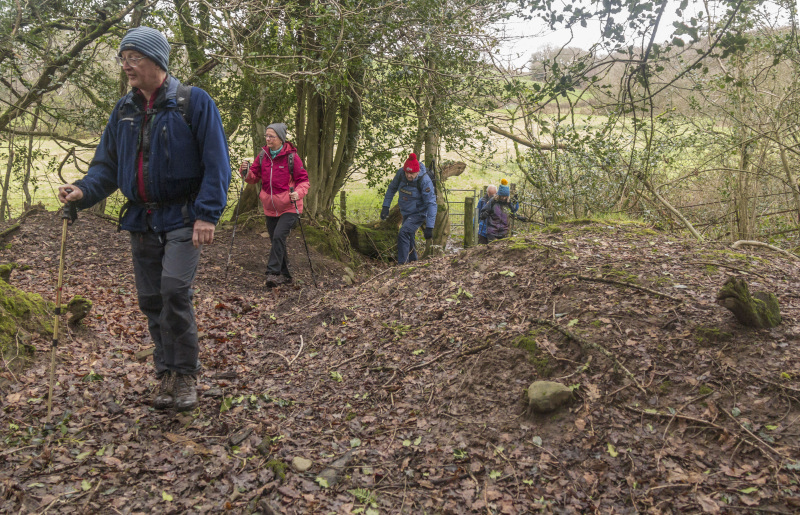
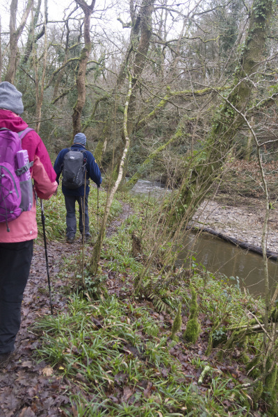
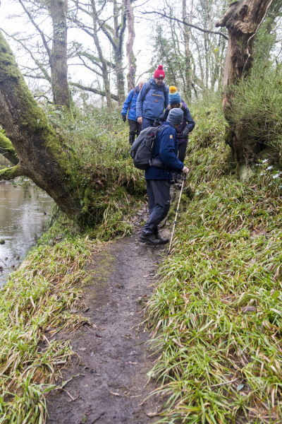
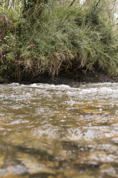
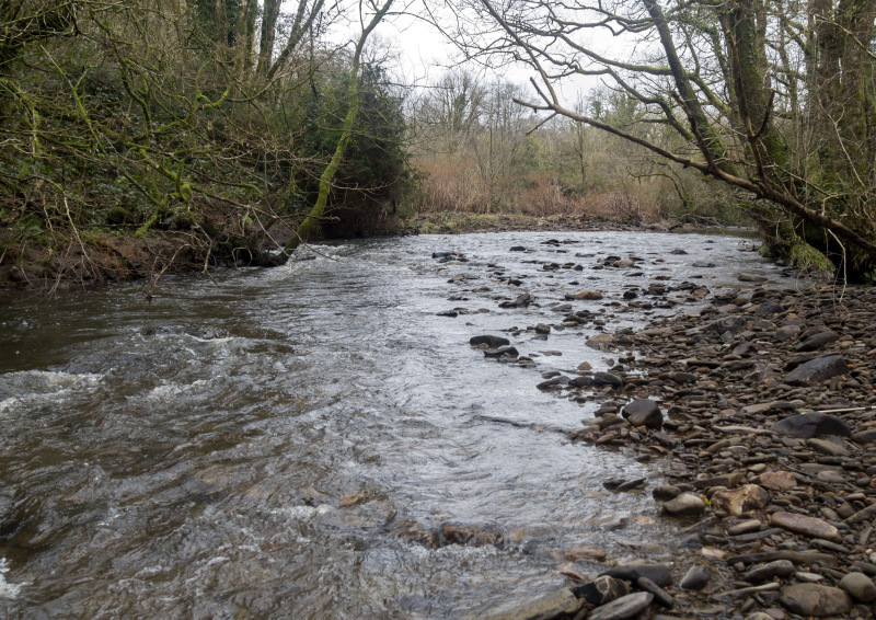
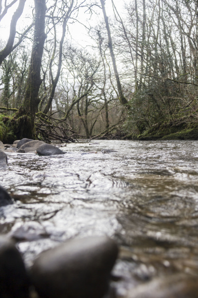
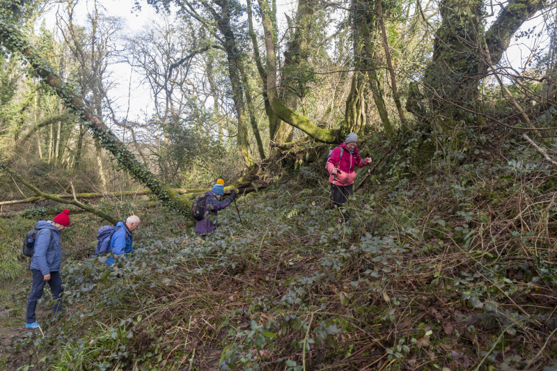
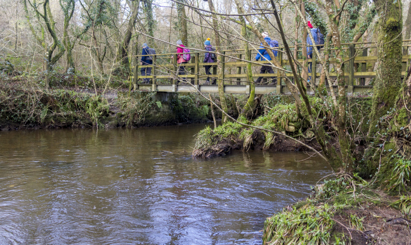
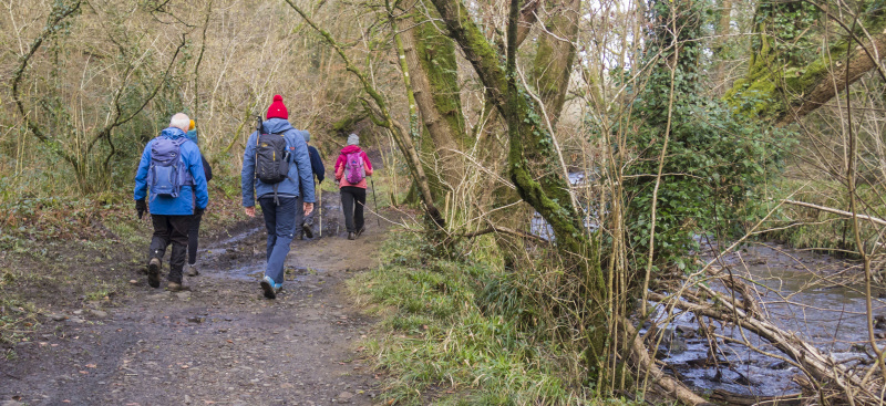
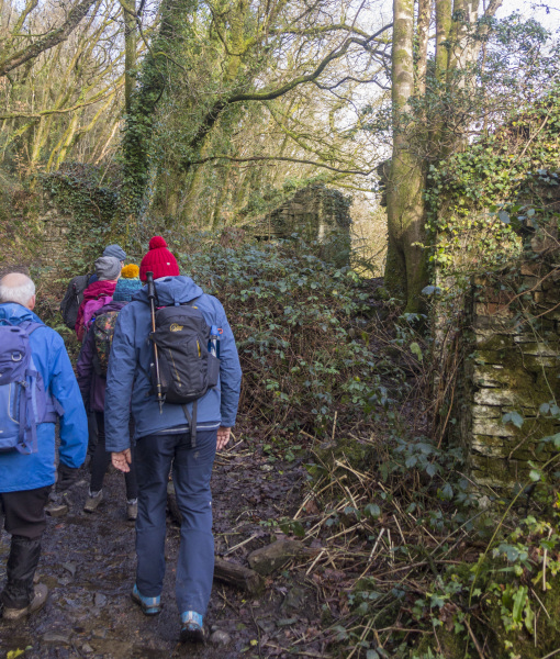
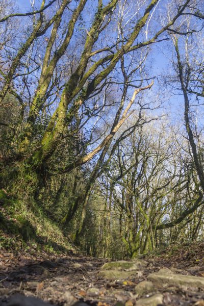
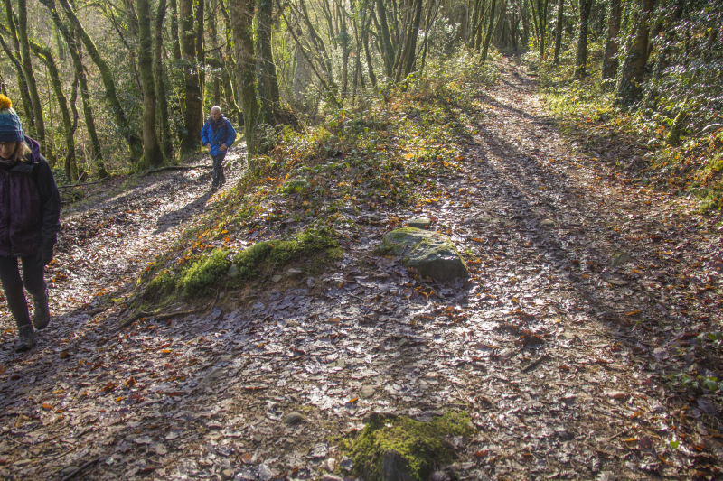
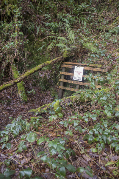
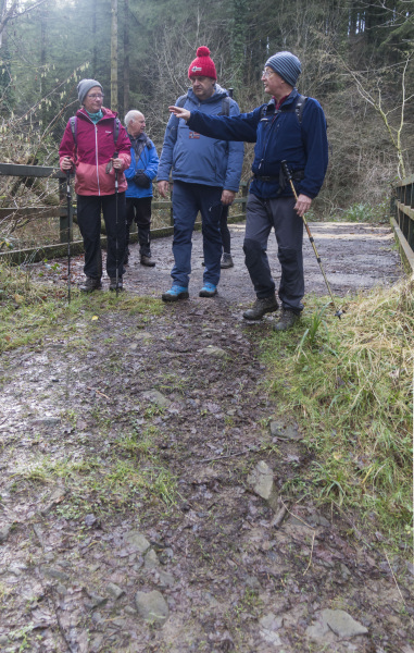
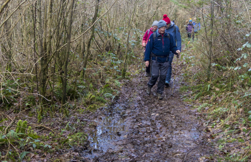
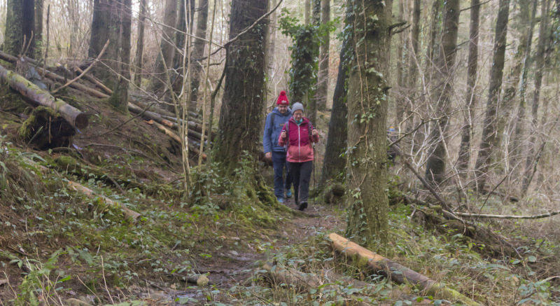
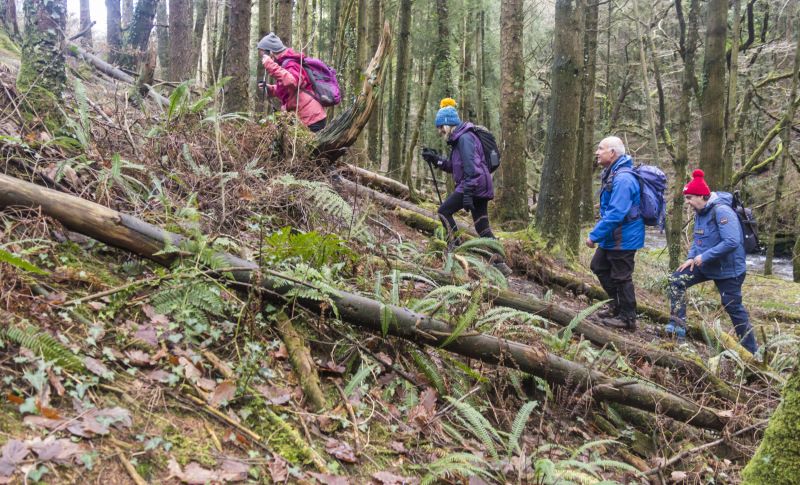
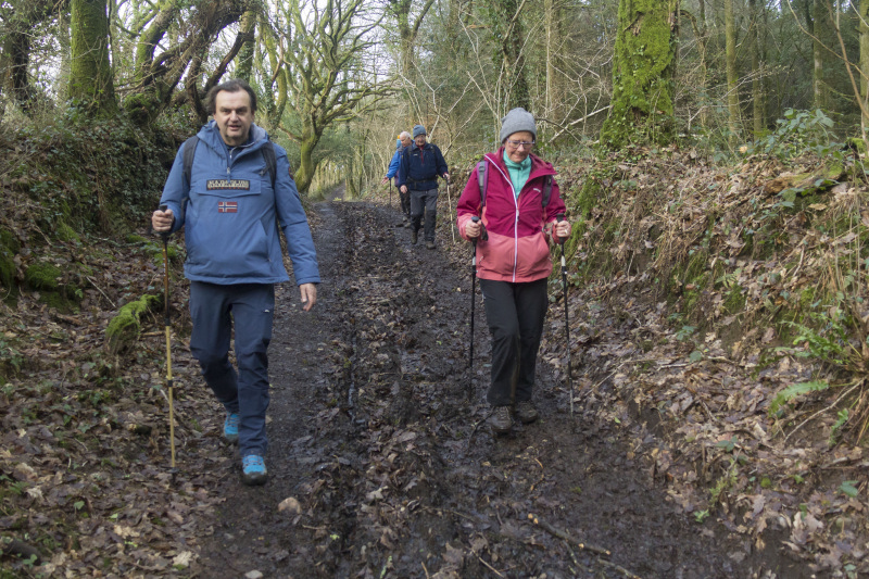
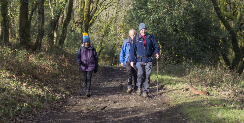
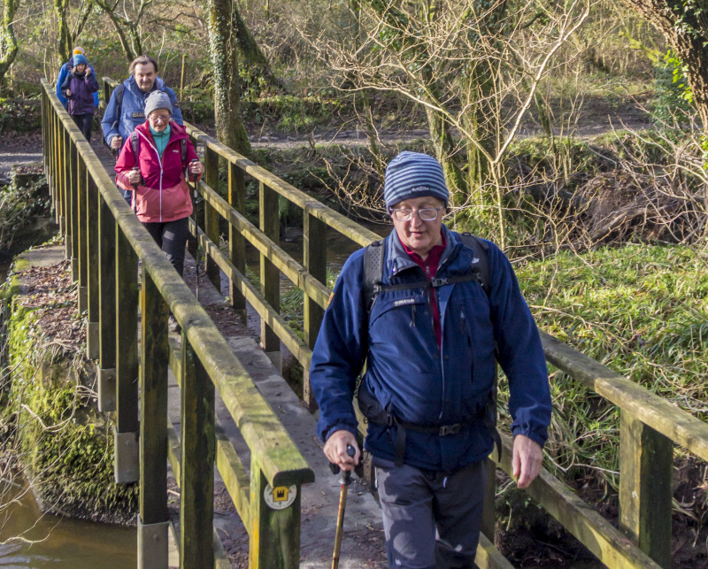
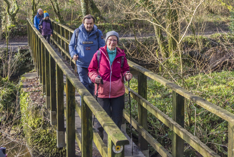
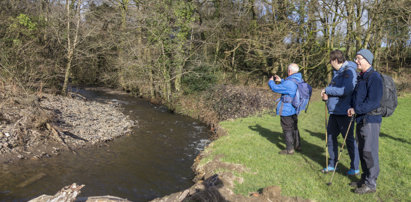
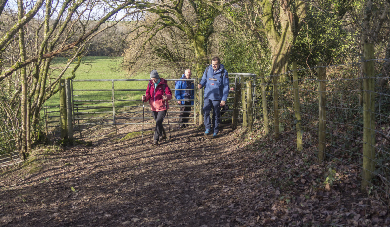
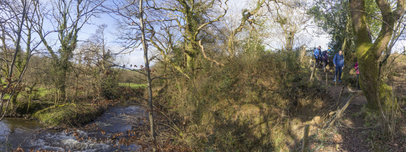
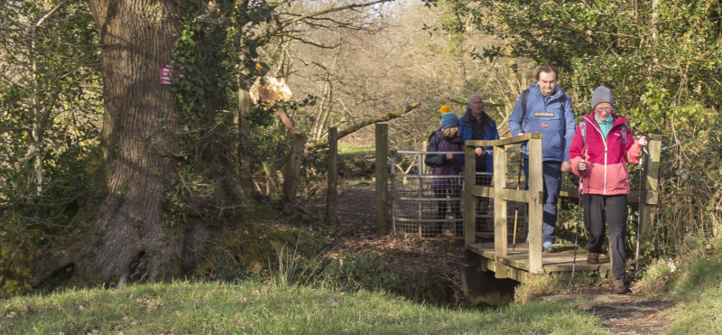
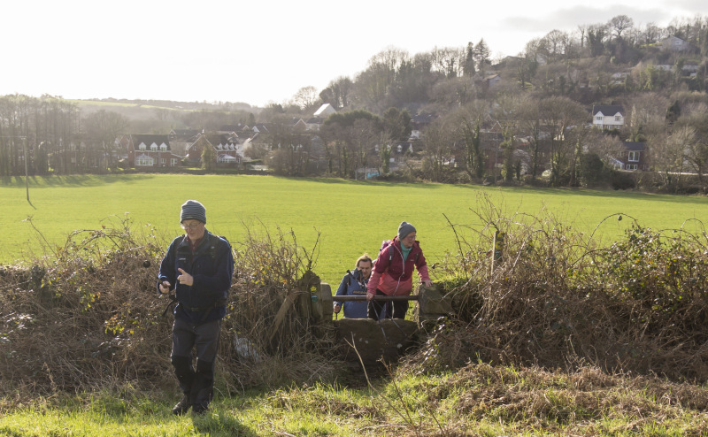
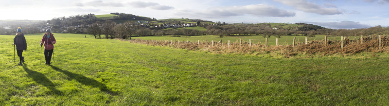
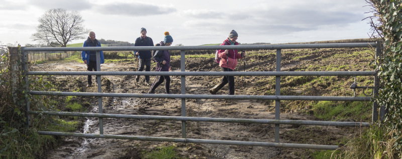
Swansea Ramblers walked from Hendy to Troserch Woods along parts of St. Illtud's Walk and Heart of Wales Trail.

After about an hour, the sun came out to give us a fine winter's day walk in a lovely area that we haven't visited for some time.

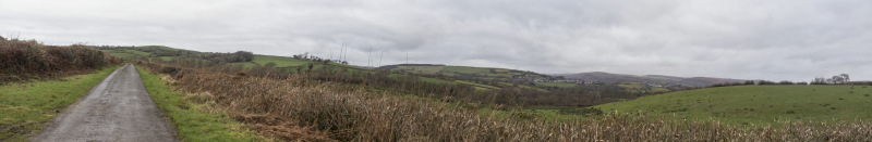
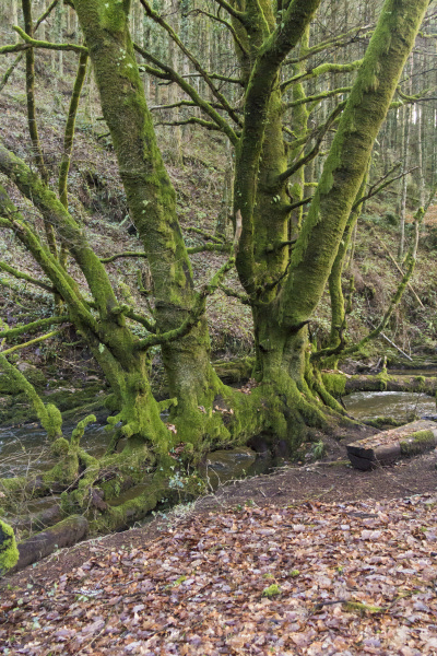
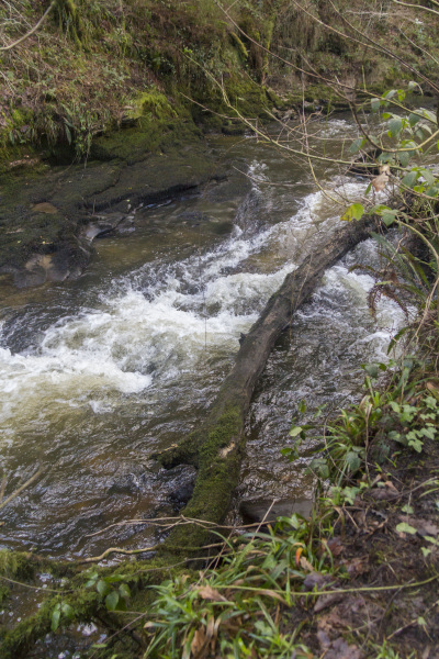
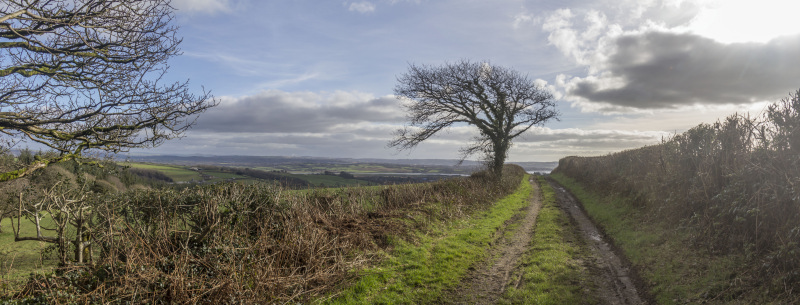
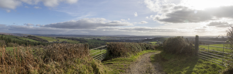
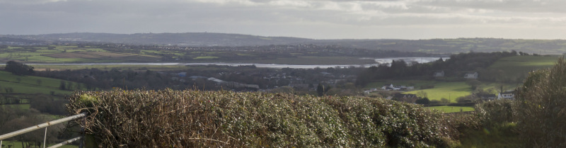
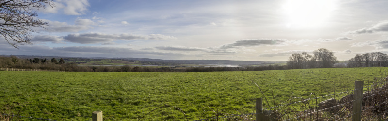
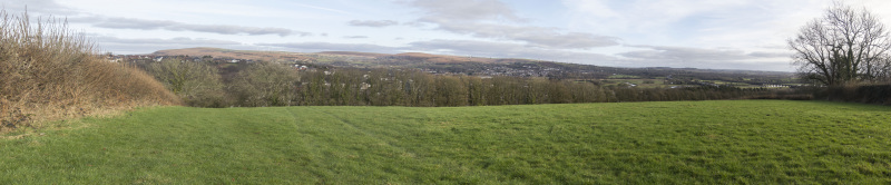
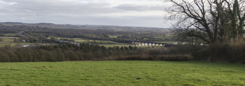
Not only is there some lovely walking in the woods but when we emerge into farmland, there is an incredible panorama over the Loughor Estuary.

After the walk, we had a post-walk social in the Black Horse in Hendy.

Another great day out with Swansea Ramblers   


Swansea Ramblers offer a range of walks for most abilities.

Try an easy walk of 2-3 hours or our longer strenuous mountain walks for the experienced walker.

Maybe you'd like to explore walking for the first time with a friendly group of people?
- Come with Swansea Ramblers!

If you'd like to try a Swansea walk then do come along and find out what the great outdoors is all about.

It won't cost you anything to come along and see if walking is for you.
You'll be very welcome to join us for three free walks.

If you enjoy walking with us and want to come on even more of our walks, just become a member.

When you join us for a Swansea Walk, ask us about the other walks and social events we do.


Photographs


Photograph of Walking Route - Image 1
Leaders Alan and Eleanor Strawbridge


Photograph of Walking Route - Image 2
We walked the minor roads out of Hendy


Photograph of Walking Route - Image 3
With signs for the Heart of Wales trail


Photograph of Walking Route - Image 4
The image represents the rail viaduct in Cynghordy


Photograph of Walking Route - Image 5
From the road we had a wide panorama over the area


Photograph of Walking Route - Image 6
It was overcast until we entered the woods


Photograph of Walking Route - Image 7
Time to leave the road on St. Illtud's Walk


Photograph of Walking Route - Image 8


Photograph of Walking Route - Image 9
Nice to leave the tarmacadam behind and walk on softer ground


Photograph of Walking Route - Image 10


Photograph of Walking Route - Image 11
Into the edge of Troserch Woods


Photograph of Walking Route - Image 12
Where we picked up the riverside path


Photograph of Walking Route - Image 13
Which is sometimes under water!


Photograph of Walking Route - Image 14
We had a tea stop by the riverside


Photograph of Walking Route - Image 15


Photograph of Walking Route - Image 16


Photograph of Walking Route - Image 17
Then continued south


Photograph of Walking Route - Image 18
And crossed over


Photograph of Walking Route - Image 19
To walk north on the opposite bank


Photograph of Walking Route - Image 20
Where we passed a ruined watermill


Photograph of Walking Route - Image 21
The sun came out and filtered through the wintery branches


Photograph of Walking Route - Image 22
The sun streamed through, casting long shadows


Photograph of Walking Route - Image 23
A number of old mine shafts for coal mining


Photograph of Walking Route - Image 24
We crossed the river once more


Photograph of Walking Route - Image 25
And explored the paths on the east bank


Photograph of Walking Route - Image 26
The moss covers the trees here


Photograph of Walking Route - Image 27
And the river rushes south to the sea


Photograph of Walking Route - Image 28


Photograph of Walking Route - Image 29


Photograph of Walking Route - Image 30
Having re-crossed the bridge, we picked up the farm track at the western edge


Photograph of Walking Route - Image 31


Photograph of Walking Route - Image 32
Which led us to a panorama over the Loughor Estuary


Photograph of Walking Route - Image 33


Photograph of Walking Route - Image 34


Photograph of Walking Route - Image 35
And back to our first bridge


Photograph of Walking Route - Image 36


Photograph of Walking Route - Image 37
To head further south on the east bank


Photograph of Walking Route - Image 38


Photograph of Walking Route - Image 39


Photograph of Walking Route - Image 40


Photograph of Walking Route - Image 41
Almost in Llangennech, we turned east over an old stone stile


Photograph of Walking Route - Image 42


Photograph of Walking Route - Image 43
Another panorama of Loughor Estuary


Photograph of Walking Route - Image 44
We reached the minor road


Photograph of Walking Route - Image 45
Then descended below the old chapel


Photograph of Walking Route - Image 46
With views of the Loughor railway viaduct


Photograph of Walking Route - Image 47
Then across the M4 back into Hendy


Ordnance Survey map of the route walked
Resizable and draggable
(Can be reset to original dimensions by refreshing the page)
Green Swansea Ramblers logo markers where present can be clicked to provide more information


All photographs Copyright  Andrew Morgan 2024
All rights reserved


Back to top

Our use of Cookies

Our Privacy Policy


Valid HTML 4.01 Transitional