Ramblers Cymru Logo Image of Countryside
Swansea Ramblers Logo
at the heart of walking


Swansea Ramblers Walk


Mumbles Heights

A 4-mile Saturday walk around the coast

9th December 2023

Leader: John France


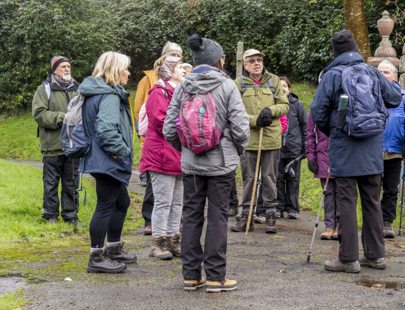
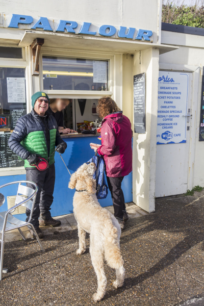
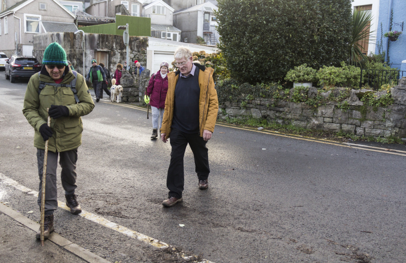
Swansea Ramblers enjoyed a walk in the Mumbles Area.   The rain stopped before we started and it remained dry for the rest of the walk.

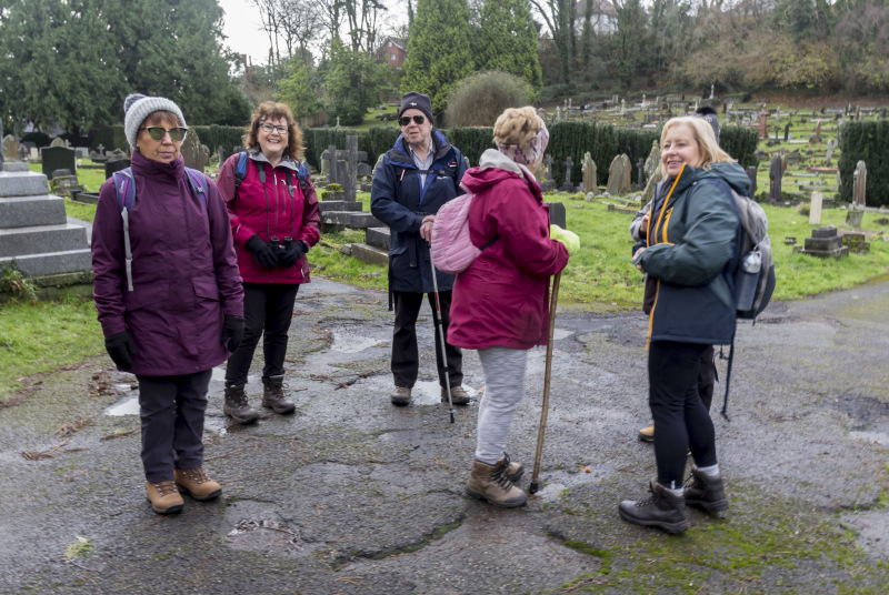
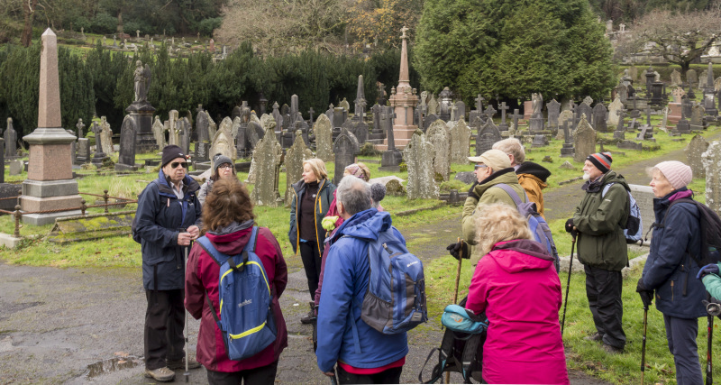
We passed through Oystermouth Cemetery where John told us about the Victorian need for urban cemeteries.   
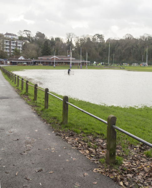
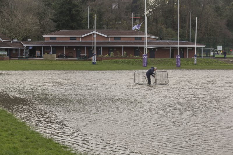
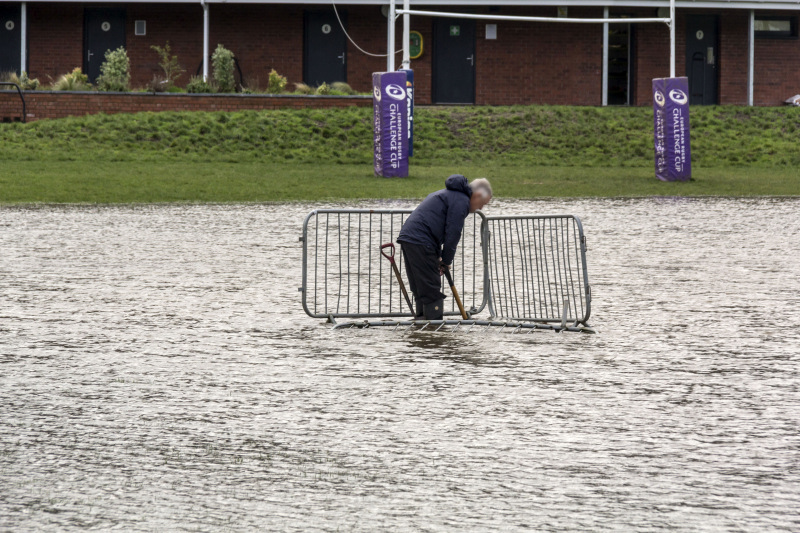
Underhill Park was like a lake and one of the groundsmen was in the middle of the water trying to unblock the drain!   
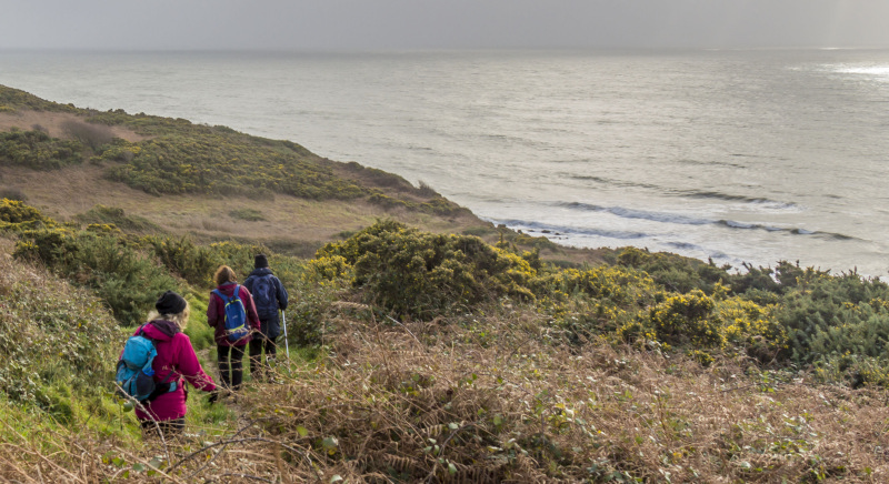
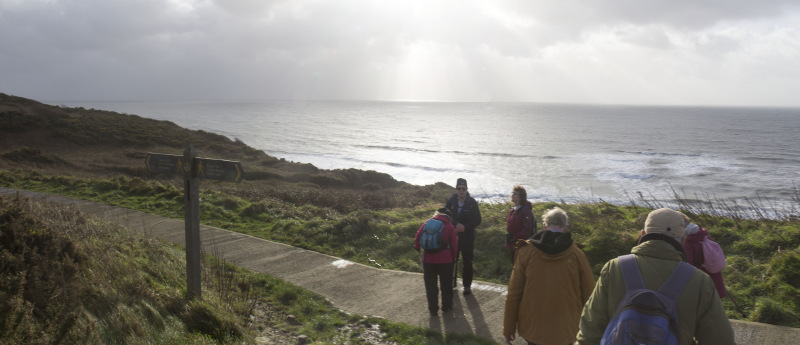
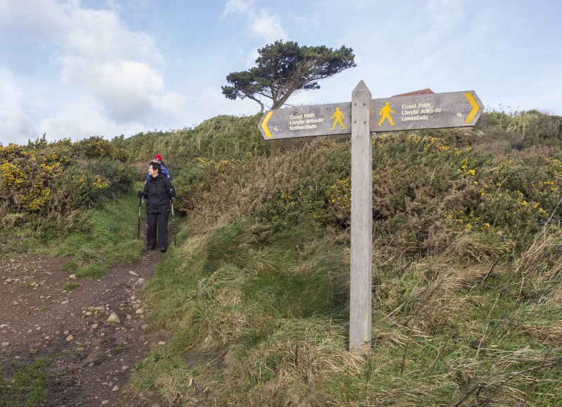
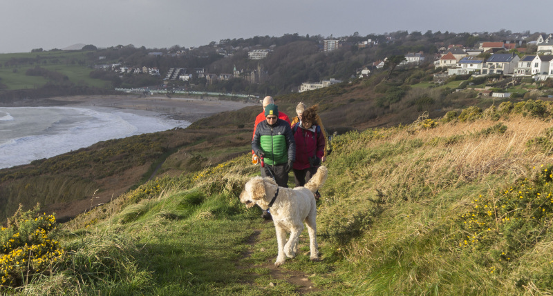
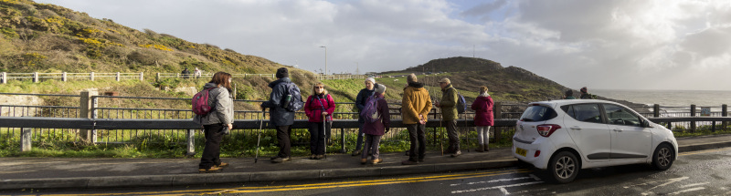
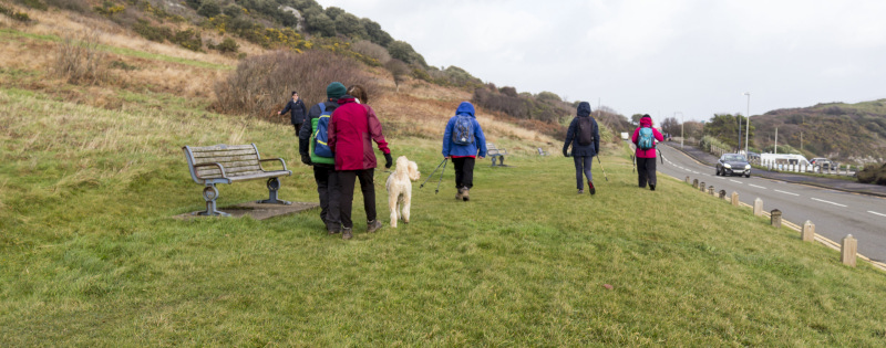
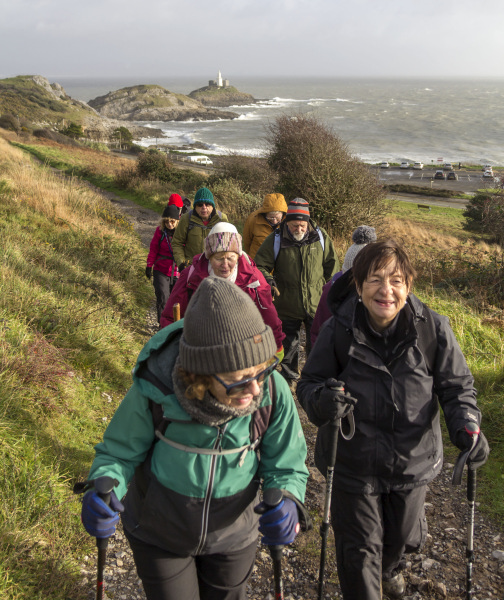
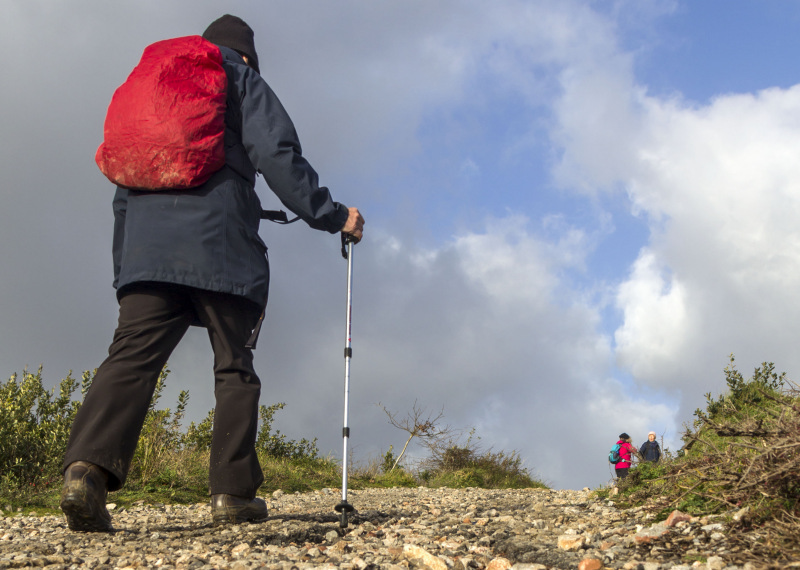
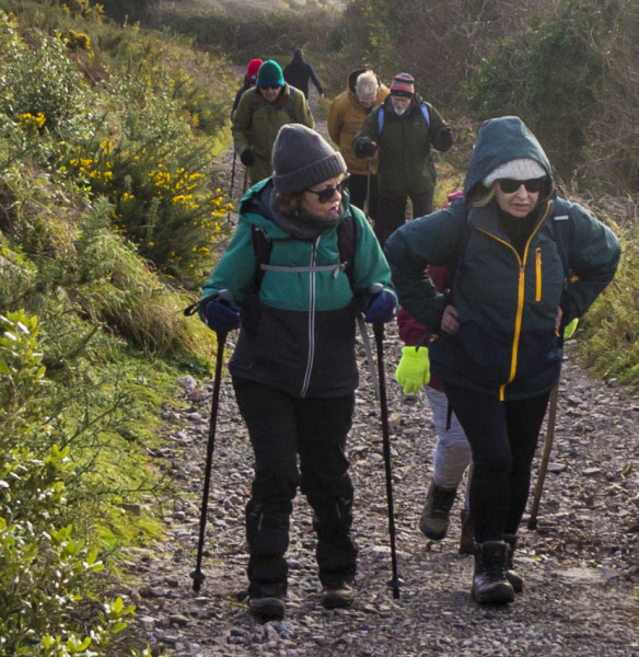
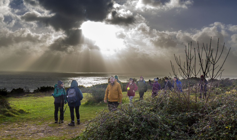
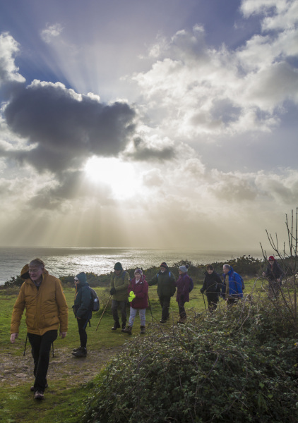
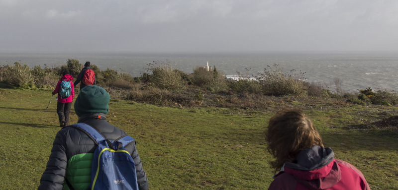
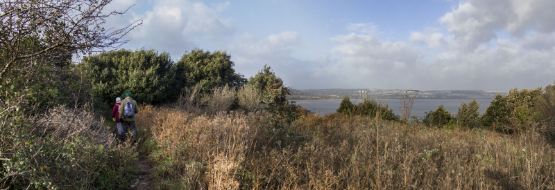
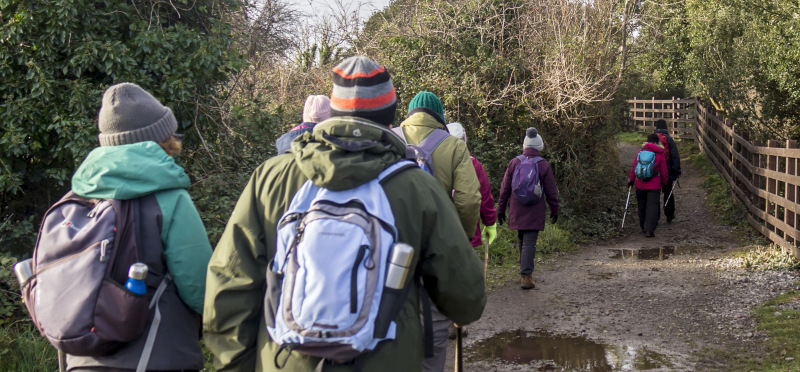
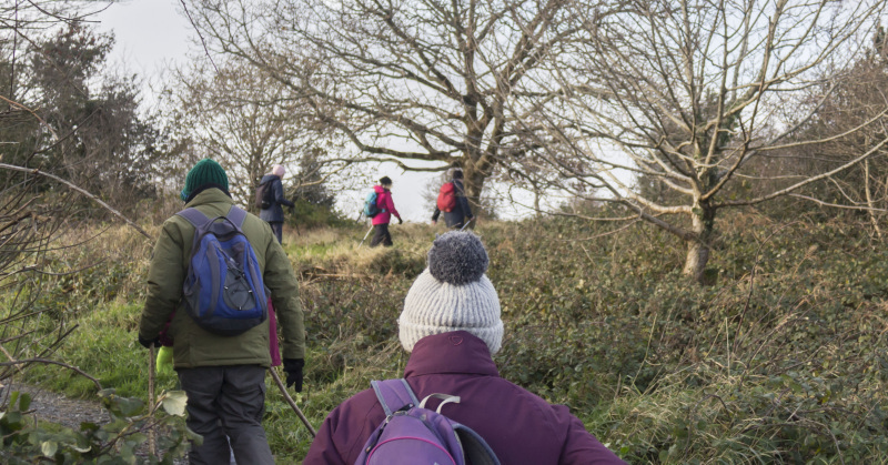
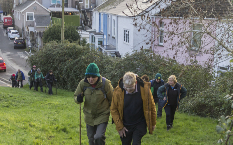
We made our way to the coast path and headed east.

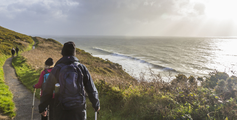
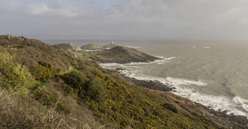
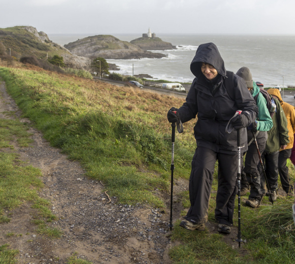
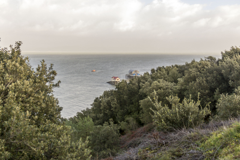
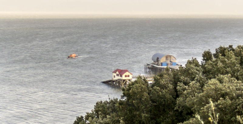
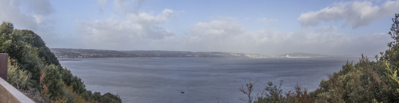
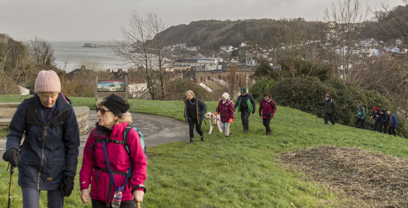
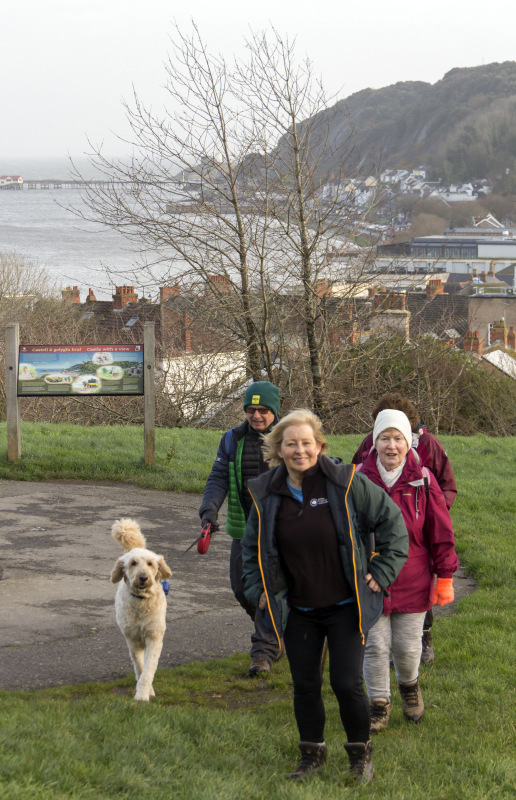
We ascended to the cliff top path for great views along the coast then stopped for lunch at Bracelet.   
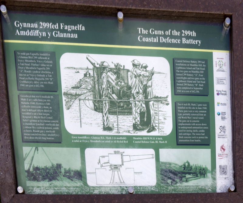
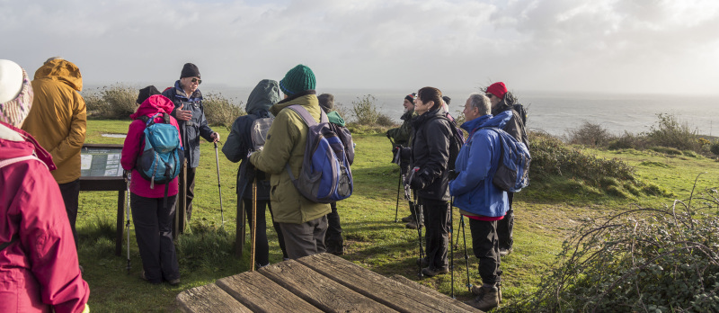
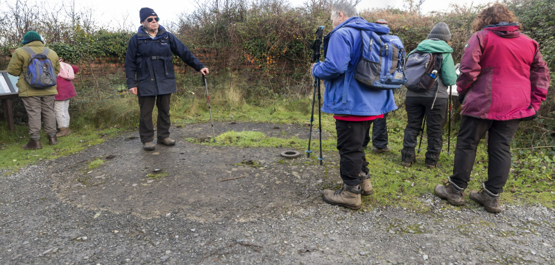
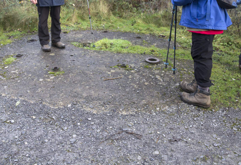
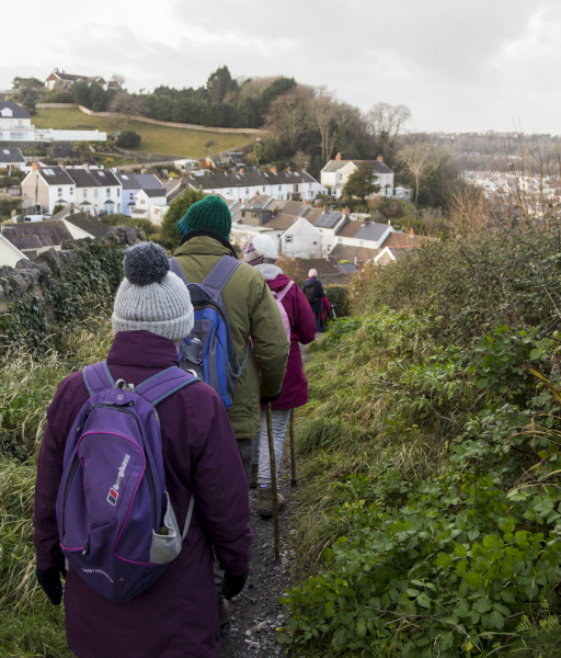
John led us onto Mumbles Hill and told us about the WWII anti-aircraft batteries that used to be there.

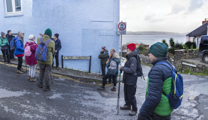
At Tichbourne Road, John explained the notorious history behind the name.   
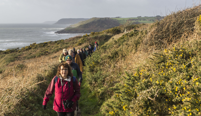
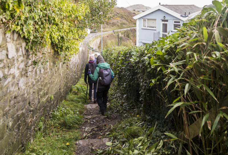
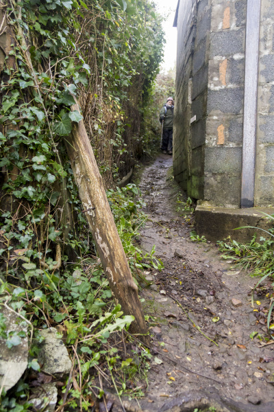
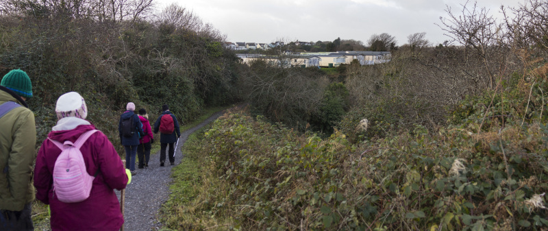
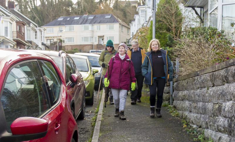
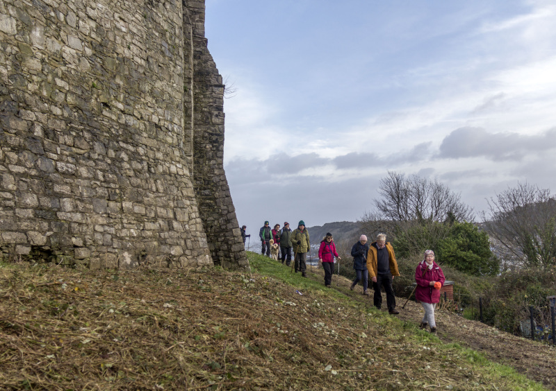
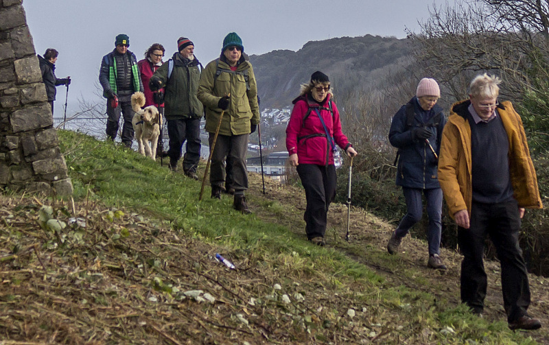
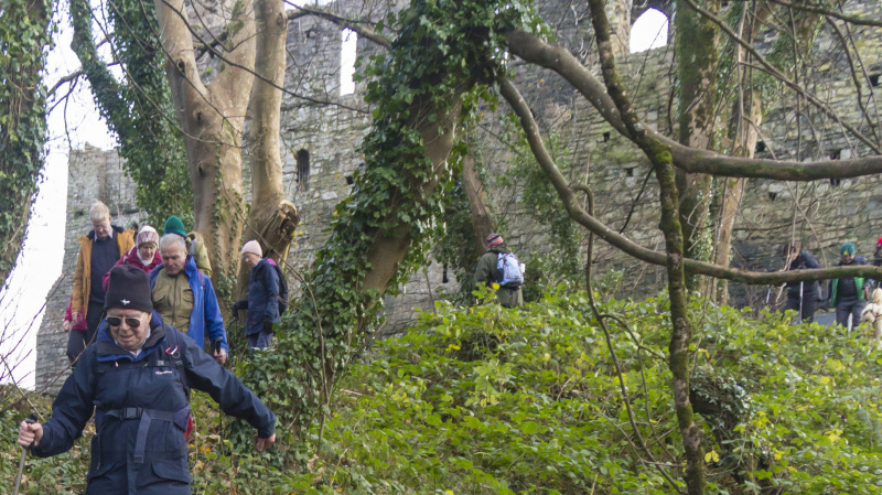
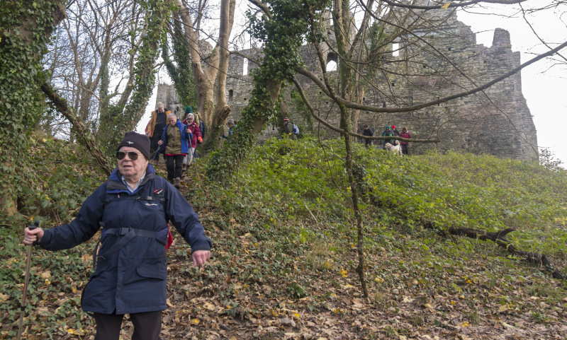
Mumbles Ridgeway led us to Overland Road then we made our way to the castle and eventually Norton.   
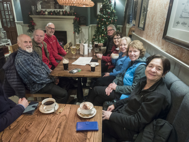
Finding the Beaufort Inn closed, we drove to The Woodman and sat by the open fire.


Swansea Ramblers offer a range of walks for most abilities.

Try an easy walk of 2-3 hours or our longer strenuous mountain walks for the experienced walker.

Maybe you'd like to explore walking for the first time with a friendly group of people?
- Come with Swansea Ramblers!

If you'd like to try a Swansea walk then do come along and find out what the great outdoors is all about.

It won't cost you anything to come along and see if walking is for you.
You'll be very welcome to join us for three free walks.

If you enjoy walking with us and want to come on even more of our walks, just become a member.

When you join us for a Swansea Walk, ask us about the other walks and social events we do.


Photographs


Photograph of Walking Route - Image 1
Leader John France


Photograph of Walking Route - Image 2
John led us through Oystermouth Cemetery


Photograph of Walking Route - Image 3
Where he told us about the Victorian need for urban cemeteries


Photograph of Walking Route - Image 4
The population explosion had filled the church graveyards


Photograph of Walking Route - Image 5
We left the cemetery to pass through Underhill Park


Photograph of Walking Route - Image 6
Where we found a new lake!


Photograph of Walking Route - Image 7
The drains must have blocked in front of the brand new pavilion


Photograph of Walking Route - Image 8
So the groundsman had waded out to try and clear them


Photograph of Walking Route - Image 9
We made our way to the coast


Photograph of Walking Route - Image 10
And joined the coast path


Photograph of Walking Route - Image 11
We had descended from Higher Lane


Photograph of Walking Route - Image 12
We headed east


Photograph of Walking Route - Image 13
Then ascended to the top path


Photograph of Walking Route - Image 14
From where we had views along the coast


Photograph of Walking Route - Image 15
Mumbles Lighthouse in the distance


Photograph of Walking Route - Image 16
Descending alongside Fortes Ice Cream Parlour


Photograph of Walking Route - Image 17
A bit narrow here!!


Photograph of Walking Route - Image 18
Some of us bought some lunch


Photograph of Walking Route - Image 19
While the others waited


Photograph of Walking Route - Image 20
Then having had lunch at Bracelet, we set off


Photograph of Walking Route - Image 21
And ascended onto Mumbles Hill


Photograph of Walking Route - Image 22


Photograph of Walking Route - Image 23
A bit of a climb


Photograph of Walking Route - Image 24


Photograph of Walking Route - Image 25


Photograph of Walking Route - Image 26
Then reached the anti-aircraft batteries


Photograph of Walking Route - Image 27
The Sun came out


Photograph of Walking Route - Image 28


Photograph of Walking Route - Image 29
John explained about the batteries


Photograph of Walking Route - Image 30
The Lighthouse can just be seen


Photograph of Walking Route - Image 31
As could the multi-million pound new Lifeboat Station


Photograph of Walking Route - Image 32
Which can't be used because of the state of the Pier!


Photograph of Walking Route - Image 33
We continued our stroll over the hill


Photograph of Walking Route - Image 34
With views of Swansea Bay


Photograph of Walking Route - Image 35


Photograph of Walking Route - Image 36
The remains of another gun emplacement


Photograph of Walking Route - Image 37
Where the gun was fixed into a concrete base


Photograph of Walking Route - Image 38
Making our way across Mumbles Hill


Photograph of Walking Route - Image 39


Photograph of Walking Route - Image 40
Descending into Mumbles


Photograph of Walking Route - Image 41
John tells us the notorious history of the Tichbournes


Photograph of Walking Route - Image 42
Walked through Oystermouth


Photograph of Walking Route - Image 43


Photograph of Walking Route - Image 44
Heading for the castle


Photograph of Walking Route - Image 45


Photograph of Walking Route - Image 46
John gave us some of its history


Photograph of Walking Route - Image 47


Photograph of Walking Route - Image 48


Photograph of Walking Route - Image 49
Then we walked behind the castle


Photograph of Walking Route - Image 50


Photograph of Walking Route - Image 51
And made our way to Norton


Photograph of Walking Route - Image 52


Photograph of Walking Route - Image 53
Then finding the Beaufort Inn was closed, we went to The Woodman


Ordnance Survey map of the route walked
Resizable and draggable
(Can be reset to original dimensions by refreshing the page)
Green Swansea Ramblers logo markers where present can be clicked to provide more information


All photographs Copyright  Andrew Morgan 2023
All rights reserved


Back to top

Our use of Cookies

Our Privacy Policy


Valid HTML 4.01 Transitional