Ramblers Cymru Logo Image of Countryside
Swansea Ramblers Logo
at the heart of walking


Swansea Ramblers Walk


Ystalyfera

A 'Paths to wellbeing' Community Project

10th June 2023

Leader: Zoe Richards from Ramblers Cymru


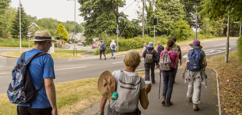
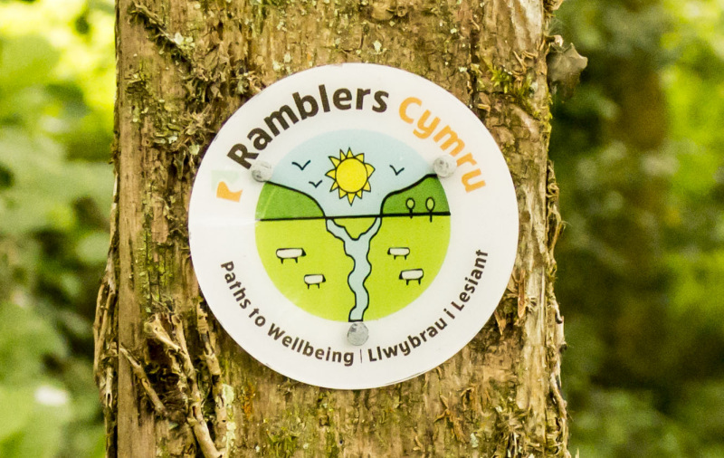
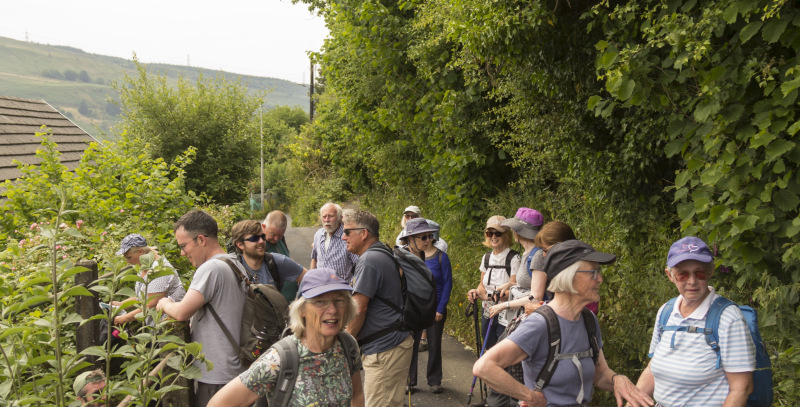
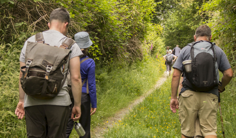
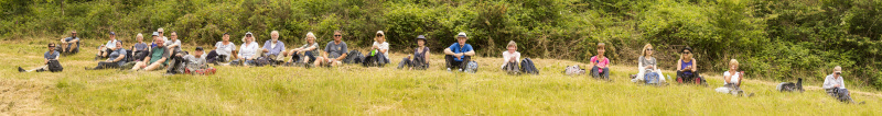
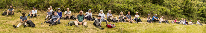
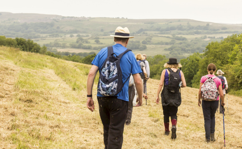
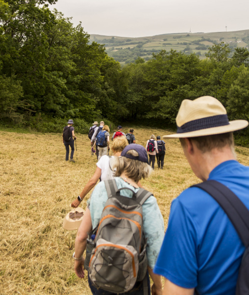
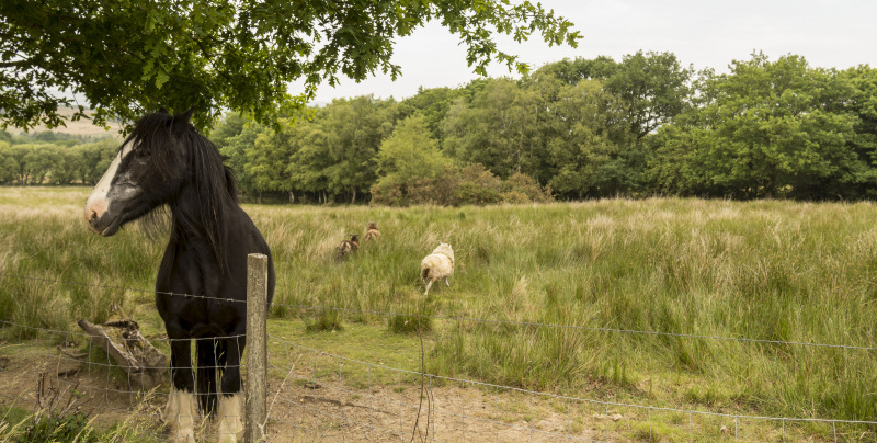
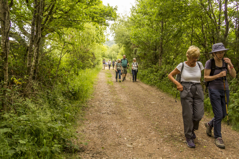
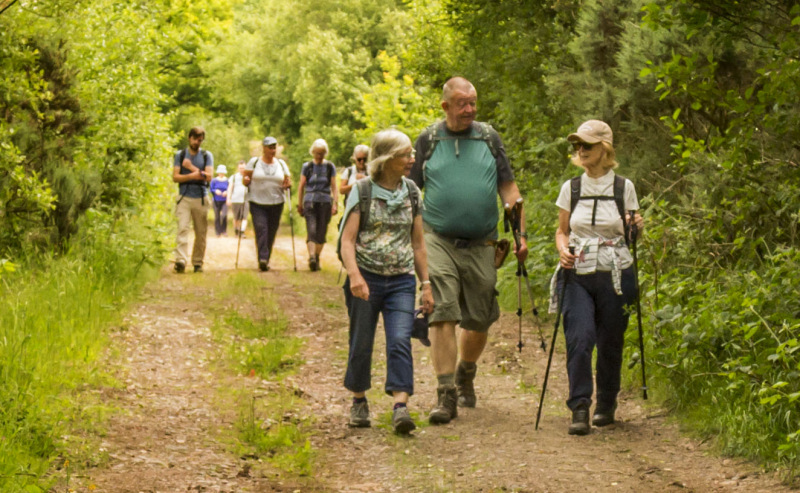
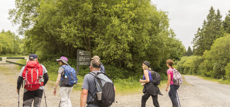
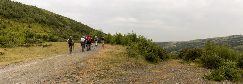
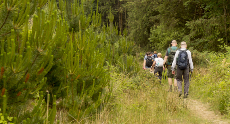
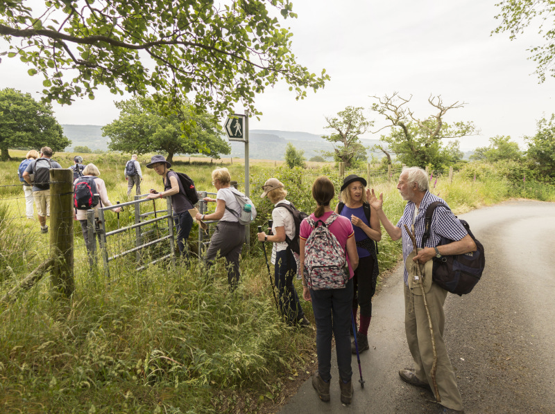
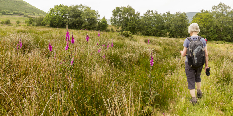
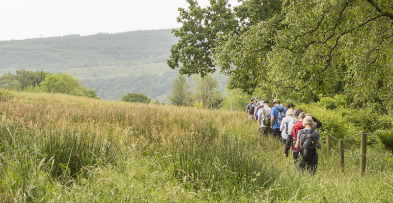
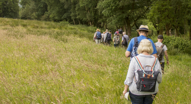
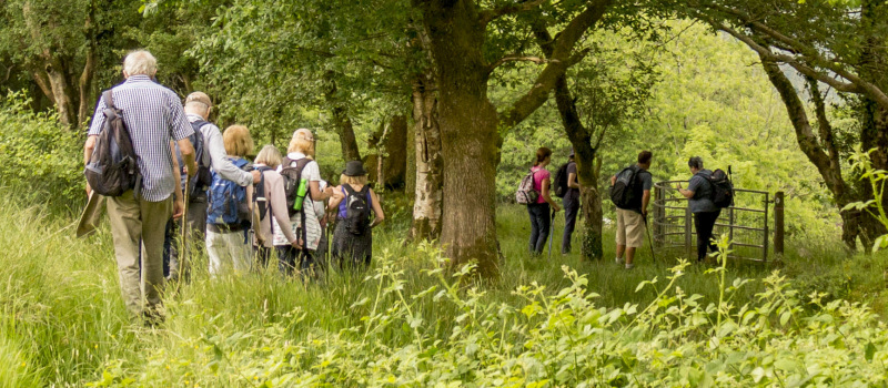
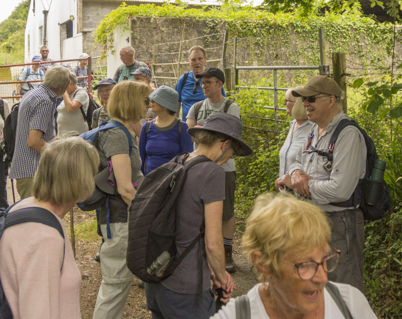
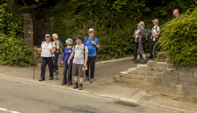
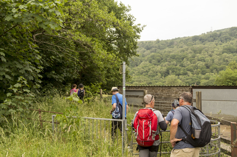
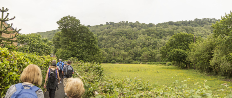
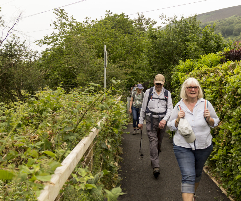
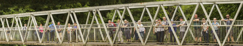
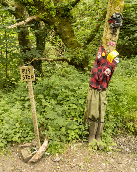
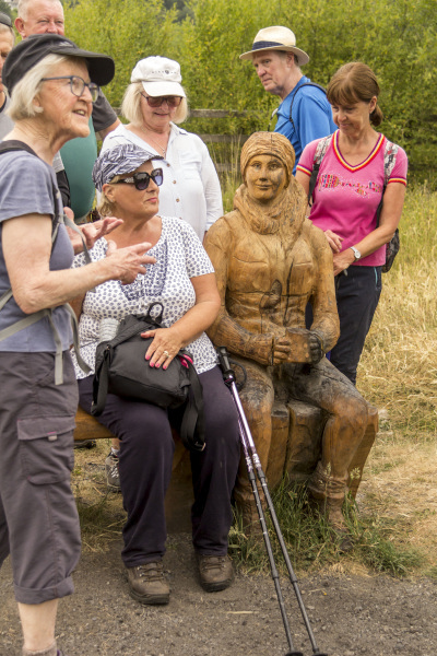
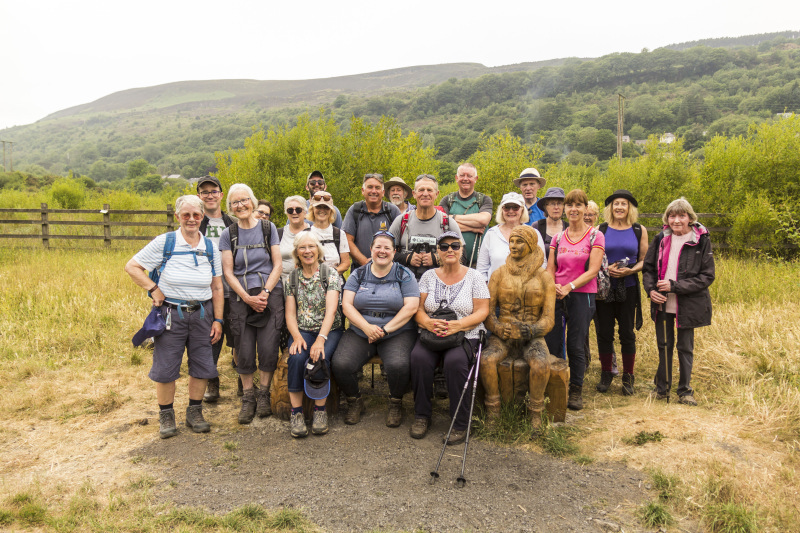
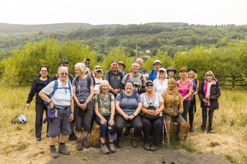
Swansea Ramblers visited Ystalyfera to see some of the paths which Ramblers Cymru and the local community had improved to encourage more community walking in the area.   
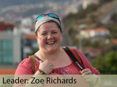
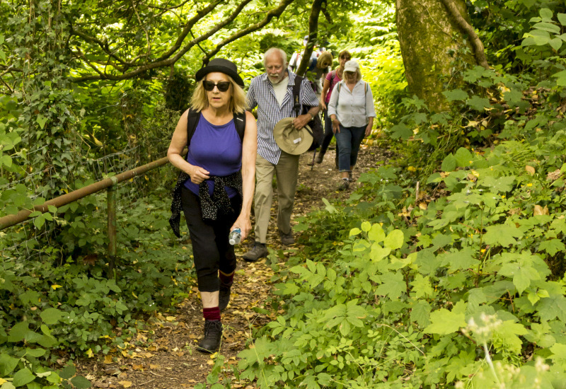
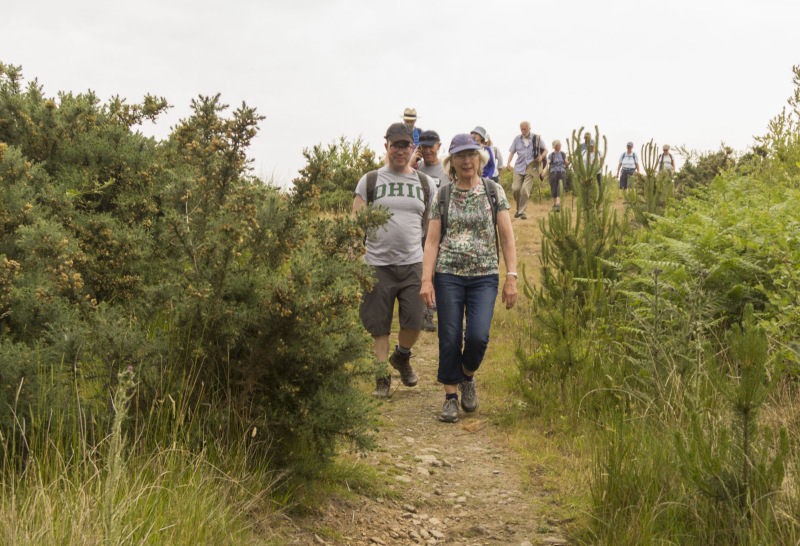
We were led by the coordinator, Zoe Richards.   
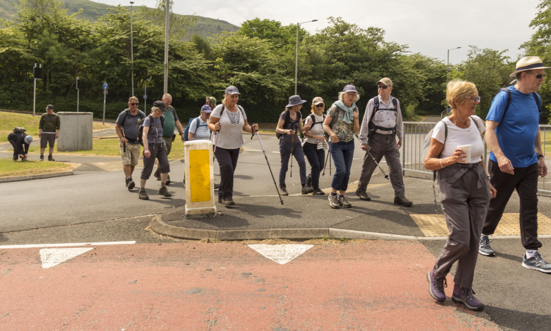
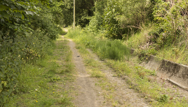
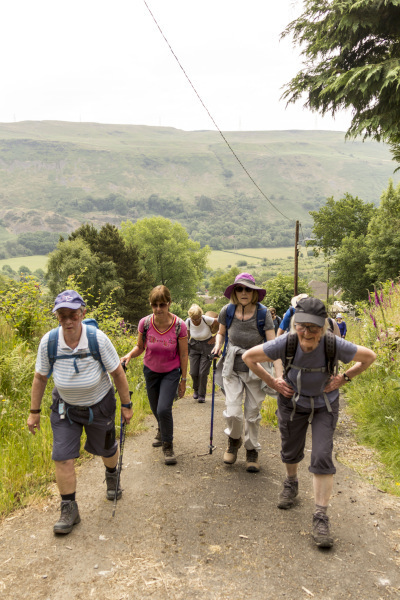
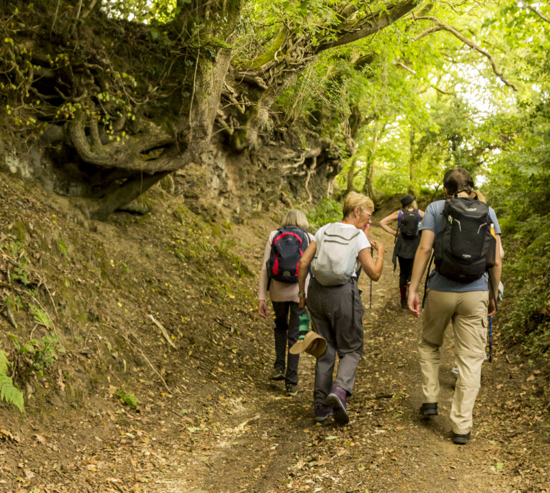
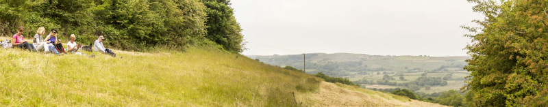
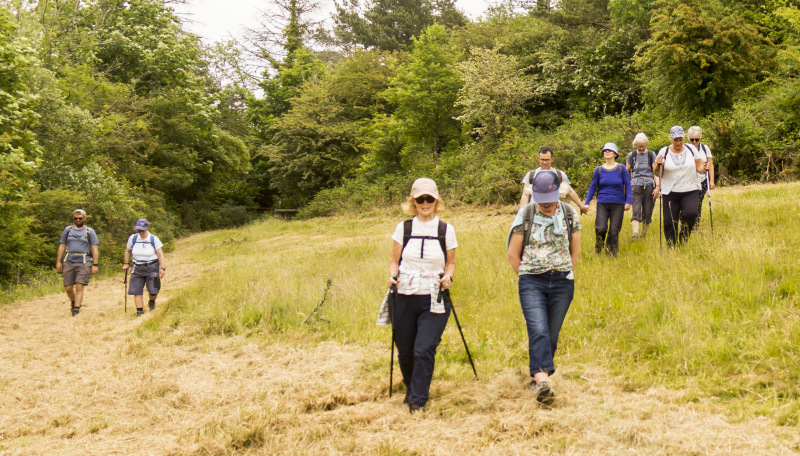
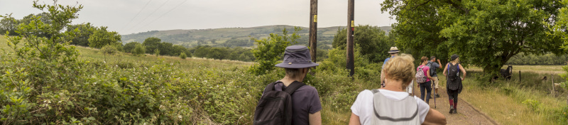
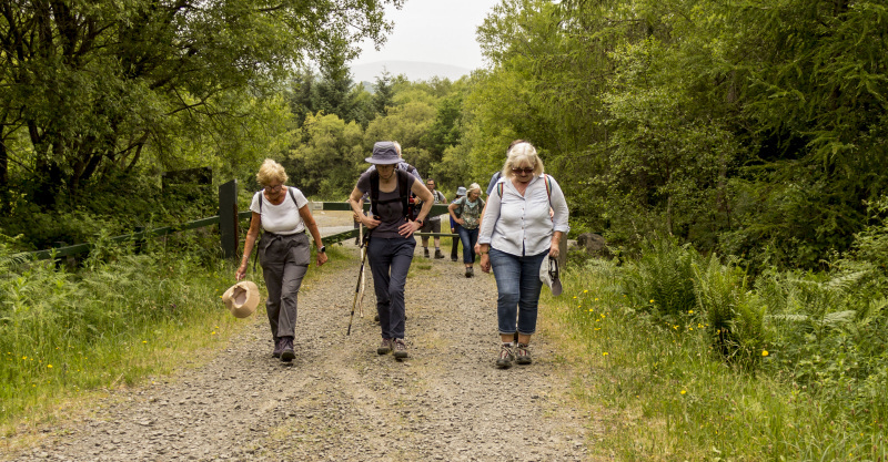
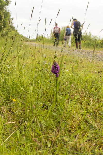
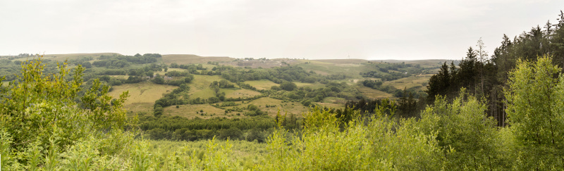
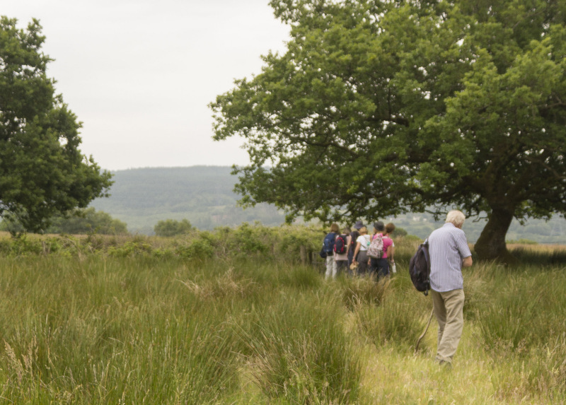
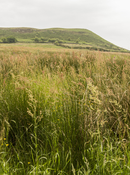
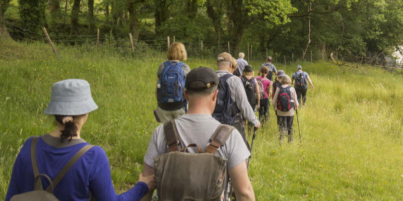
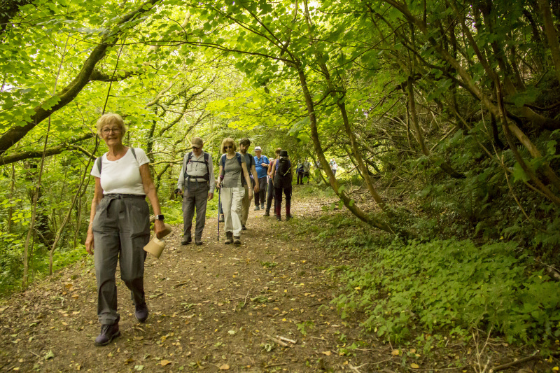
Zoe took us on a walk that ascended high above the valley as we circled Mynydd Allt y Grug.   
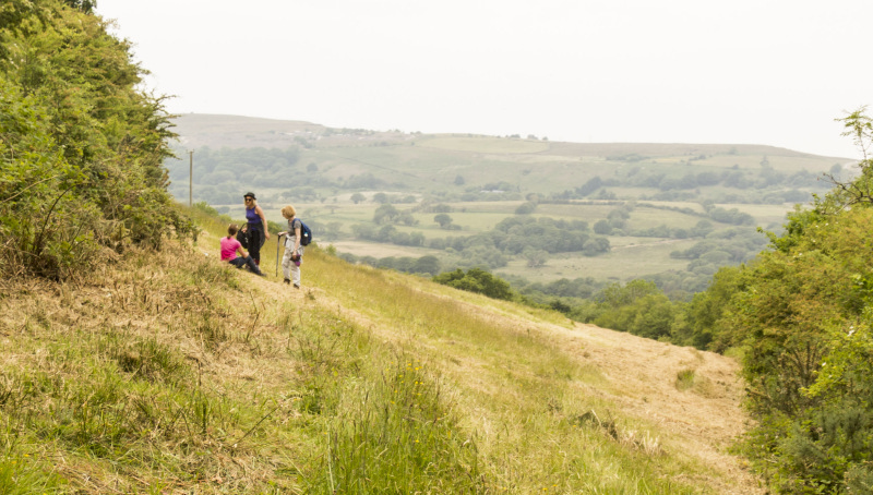
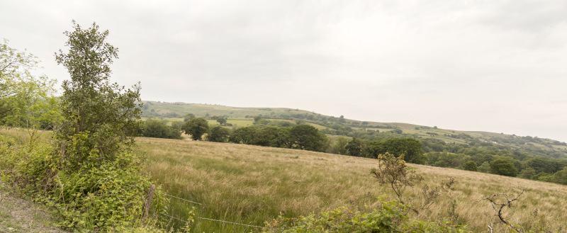
We had lovely views to the next high ground, Cefn Gwrhyd, as we made our way around the lower paths of Mynydd Allt y Grug.  

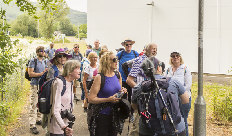
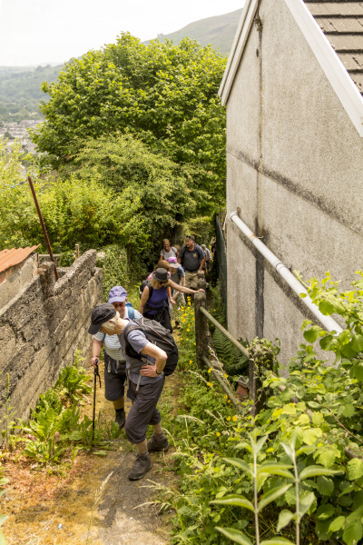
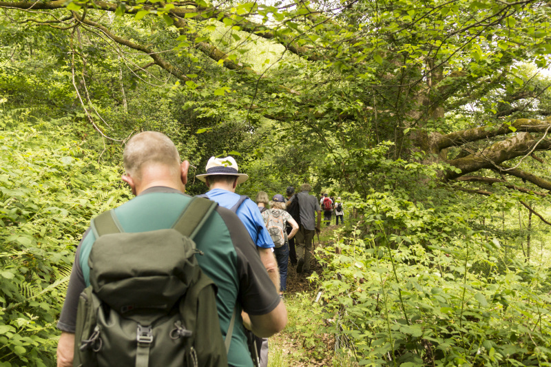
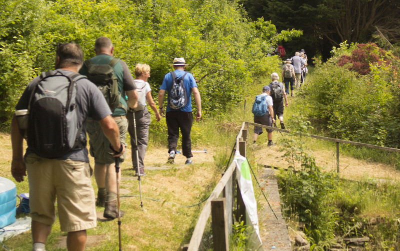
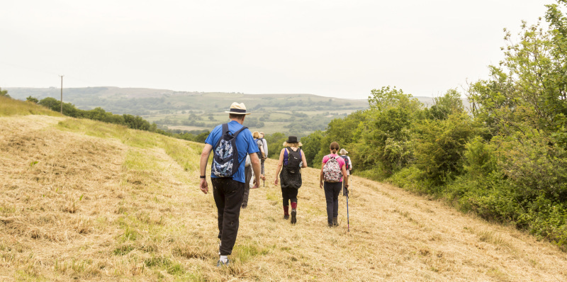
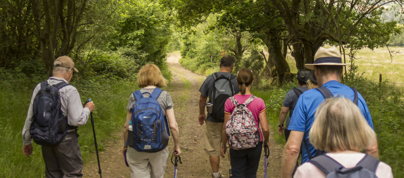
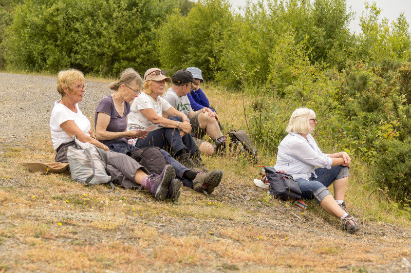
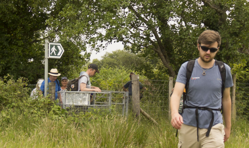
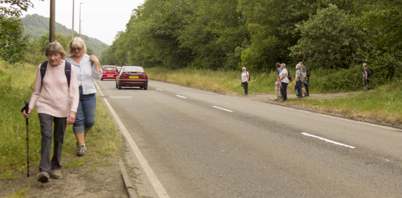
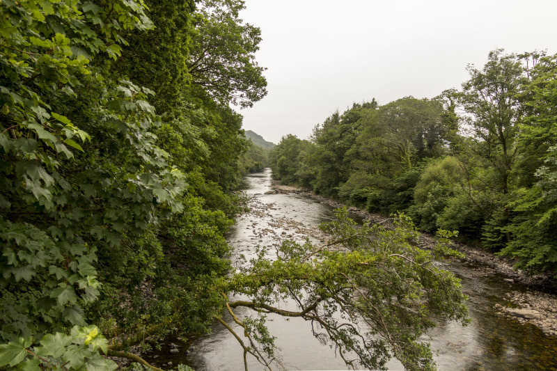
Descending back to the valley and alongside the Tawe, the rain began to lightly fall.   It didn't come down heavily so we finished the walk only slightly damp!  

The paths can be seen on the Paths to Wellbeing website   


Swansea Ramblers offer a range of walks for most abilities.

Try an easy walk of 2-3 hours or our longer strenuous mountain walks for the experienced walker.

Maybe you'd like to explore walking for the first time with a friendly group of people?
- Come with Swansea Ramblers!

If you'd like to try a Swansea walk then do come along and find out what the great outdoors is all about.

It won't cost you anything to come along and see if walking is for you.
You'll be very welcome to join us for three free walks.

If you enjoy walking with us and want to come on even more of our walks, just become a member.

When you join us for a Swansea Walk, ask us about the other walks and social events we do.


Photographs


Photograph of Walking Route - Image 1
Leader Zoe Richards from Ramblers Cymru


Photograph of Walking Route - Image 2
Setting off near ASDA


Photograph of Walking Route - Image 3


Photograph of Walking Route - Image 4
Zoe shows us the 'Paths to Wellbeing' signage along the route


Photograph of Walking Route - Image 5
These signs appear on the community paths


Photograph of Walking Route - Image 6
A sorry sight! - The Swansea Canal in Ystalyfera!


Photograph of Walking Route - Image 7
We followed the wooded paths


Photograph of Walking Route - Image 8
Then began the ascent between the houses


Photograph of Walking Route - Image 9
Stopped for a breather!


Photograph of Walking Route - Image 10
Then we continued to ascend


Photograph of Walking Route - Image 11
It was a lovely day for the walk


Photograph of Walking Route - Image 12
We passed by a few more houses


Photograph of Walking Route - Image 13


Photograph of Walking Route - Image 14
Then along an old farm lane


Photograph of Walking Route - Image 15
And had a tea stop with a view of the Gwrhyd


Photograph of Walking Route - Image 16


Photograph of Walking Route - Image 17


Photograph of Walking Route - Image 18


Photograph of Walking Route - Image 19
Soon it was time to start off again


Photograph of Walking Route - Image 20


Photograph of Walking Route - Image 21


Photograph of Walking Route - Image 22
We descended for a while


Photograph of Walking Route - Image 23
And followed a farm track


Photograph of Walking Route - Image 24


Photograph of Walking Route - Image 25
We met a horse and some sheep


Photograph of Walking Route - Image 26


Photograph of Walking Route - Image 27


Photograph of Walking Route - Image 28
The Gwrhyd in the distance


Photograph of Walking Route - Image 29
We started to ascend into the forest


Photograph of Walking Route - Image 30


Photograph of Walking Route - Image 31
There were a few Orchids along the way


Photograph of Walking Route - Image 32
And panoramas


Photograph of Walking Route - Image 33


Photograph of Walking Route - Image 34
We stopped for lunch with a view of the Gwrhyd


Photograph of Walking Route - Image 35
So time to photograph the flora!


Photograph of Walking Route - Image 36
Then we were off again


Photograph of Walking Route - Image 37
And noticed a change in the weather


Photograph of Walking Route - Image 38
We descended into the forest


Photograph of Walking Route - Image 39
Then crossed a field with large stone slabs that were once used by packhorses


Photograph of Walking Route - Image 40


Photograph of Walking Route - Image 41


Photograph of Walking Route - Image 42
There were a lot of Foxgloves in flower


Photograph of Walking Route - Image 43
And the summer grass was very high


Photograph of Walking Route - Image 44
We never actually reached the top of Mynydd Allt y Grug but still climbed 1250 feet!


Photograph of Walking Route - Image 45
We continue our descent


Photograph of Walking Route - Image 46


Photograph of Walking Route - Image 47
The fields were rich in grasses


Photograph of Walking Route - Image 48


Photograph of Walking Route - Image 49
We passed through a farm and reached the lane


Photograph of Walking Route - Image 50
Then back into Godre'r Graig


Photograph of Walking Route - Image 51


Photograph of Walking Route - Image 52
Crossed the busy A4067


Photograph of Walking Route - Image 53


Photograph of Walking Route - Image 54
And the rain began lightly to fall


Photograph of Walking Route - Image 55


Photograph of Walking Route - Image 56
We crossed the bridge over the Tawe


Photograph of Walking Route - Image 57


Photograph of Walking Route - Image 58
We never found out who 'Kev' was!


Photograph of Walking Route - Image 59
This seat with a wooden figure was part of the project


Photograph of Walking Route - Image 60
So we ignored the rain and posed for a group photo


Photograph of Walking Route - Image 61
Thank you Zoe for a lovely walk


Ordnance Survey map of the route walked
Resizable and draggable
(Can be reset to original dimensions by refreshing the page)
Green Swansea Ramblers logo markers where present can be clicked to provide more information


All photographs Copyright  Andrew Morgan 2023
All rights reserved


Back to top

Our use of Cookies

Our Privacy Policy


Valid HTML 4.01 Transitional