Ramblers Cymru Logo Image of Countryside
Swansea Ramblers Logo
at the heart of walking


Swansea Ramblers Walk


Pontardawe
Along Swansea Canal and the cycle path

29th September 2021

Leaders: Huw Davies and Gary Evans


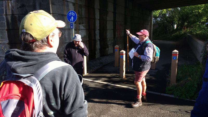
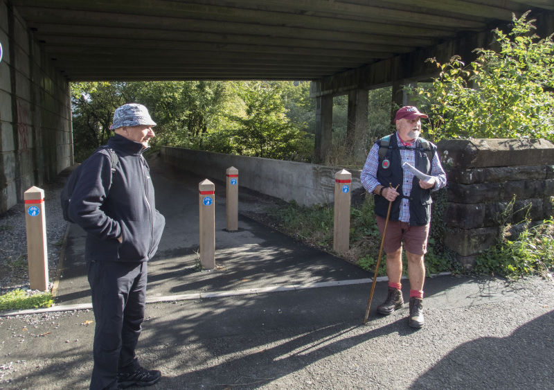
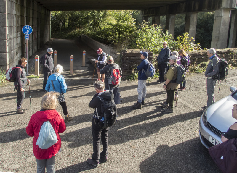
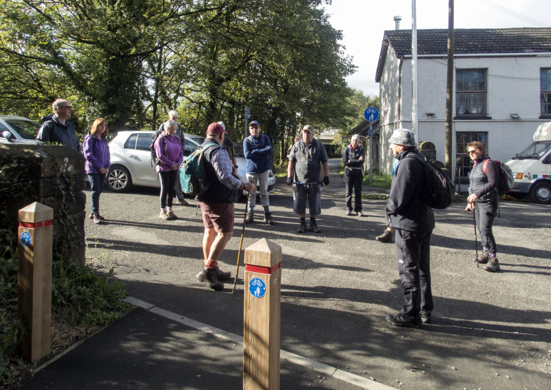
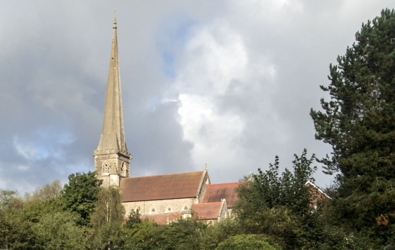
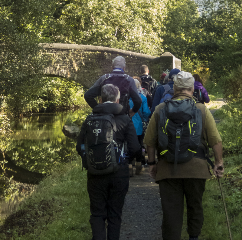
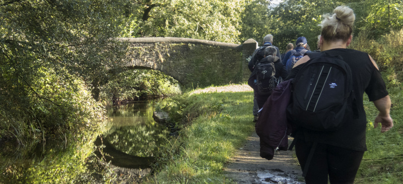
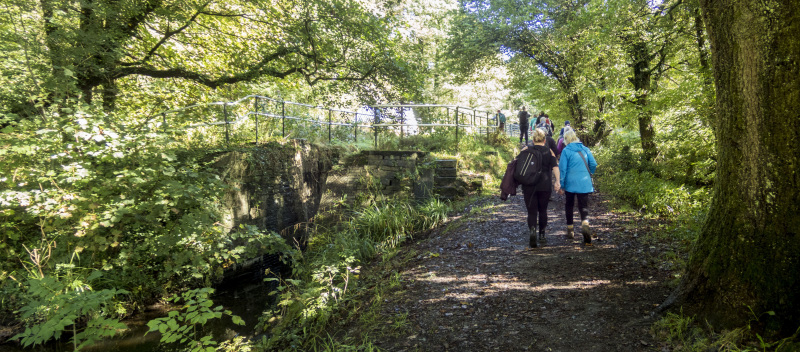
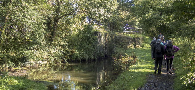
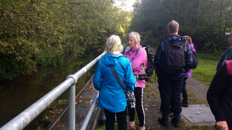
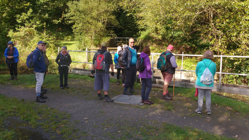
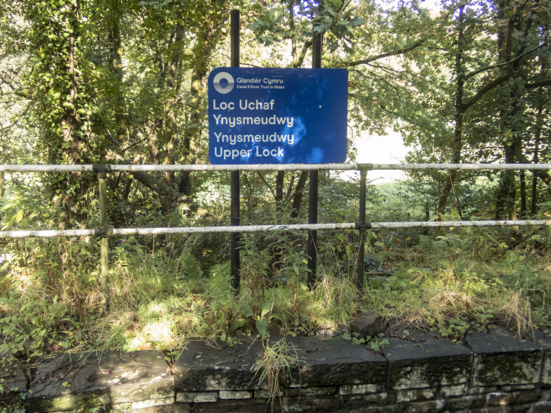
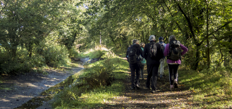
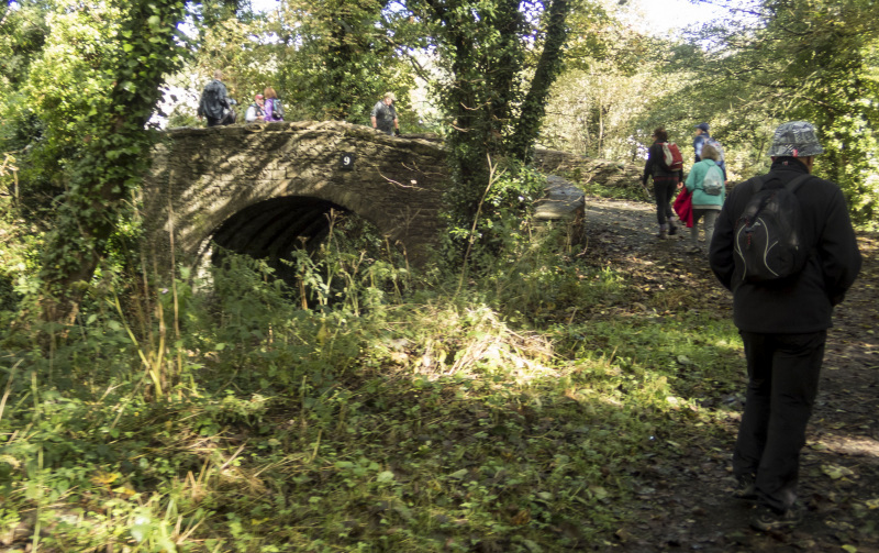
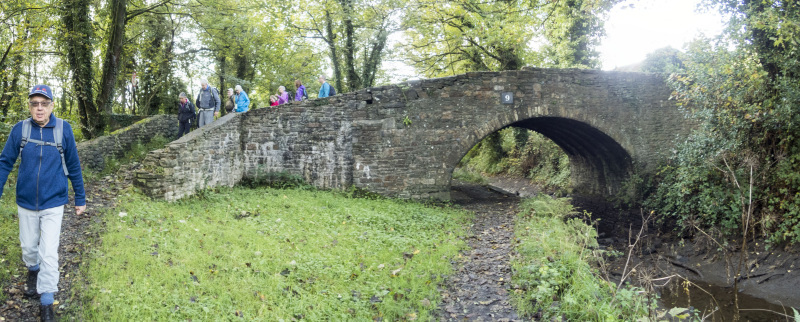
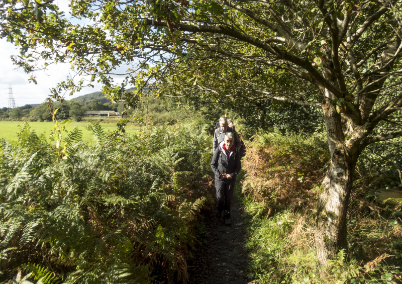
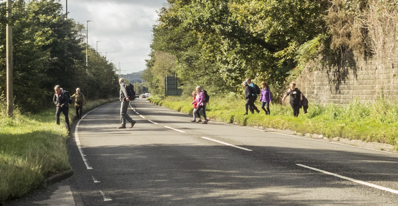
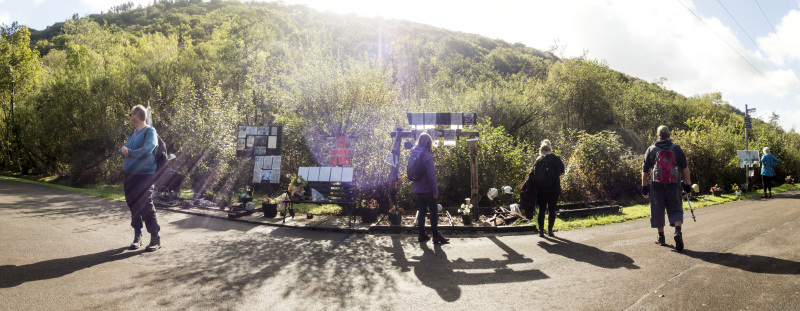
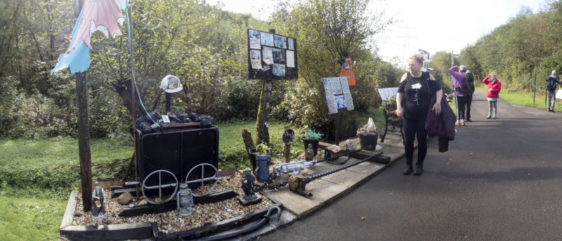
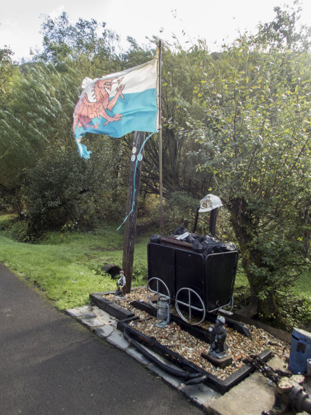
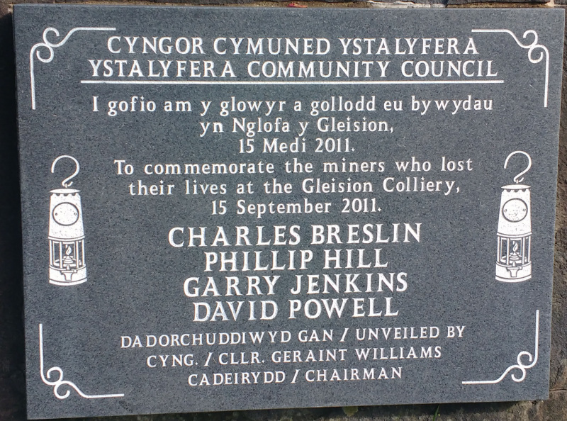
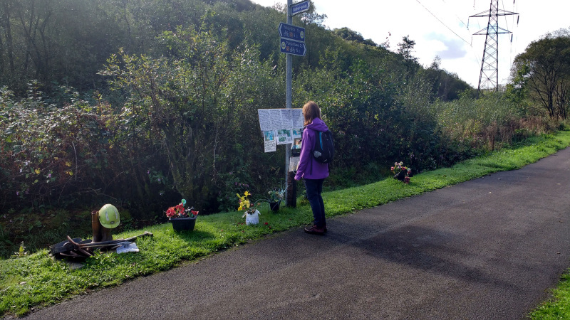
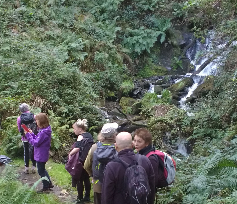
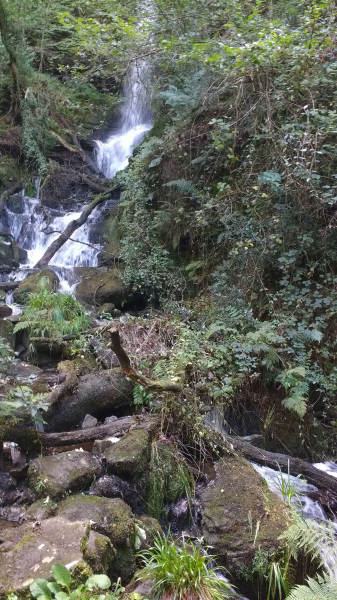
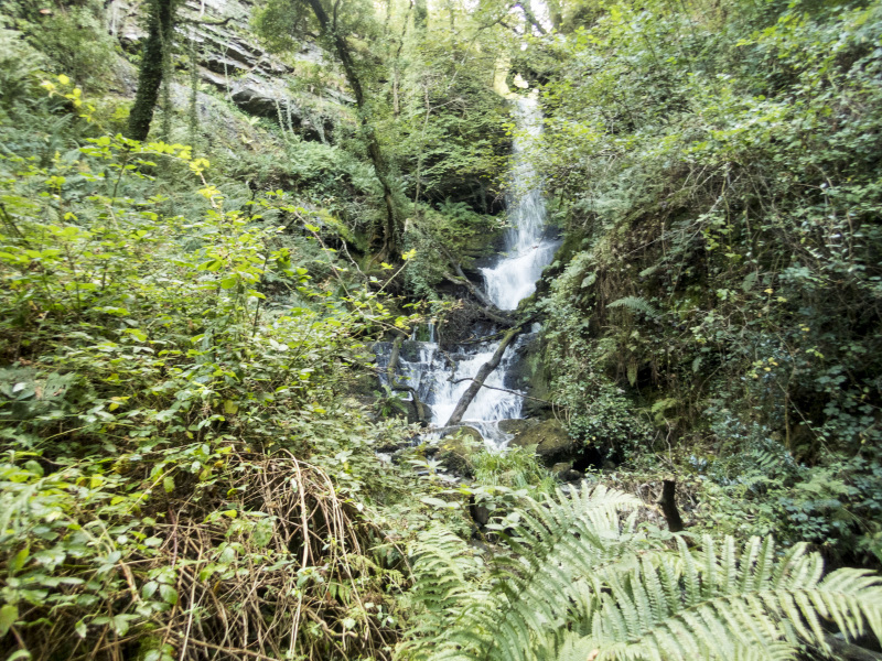
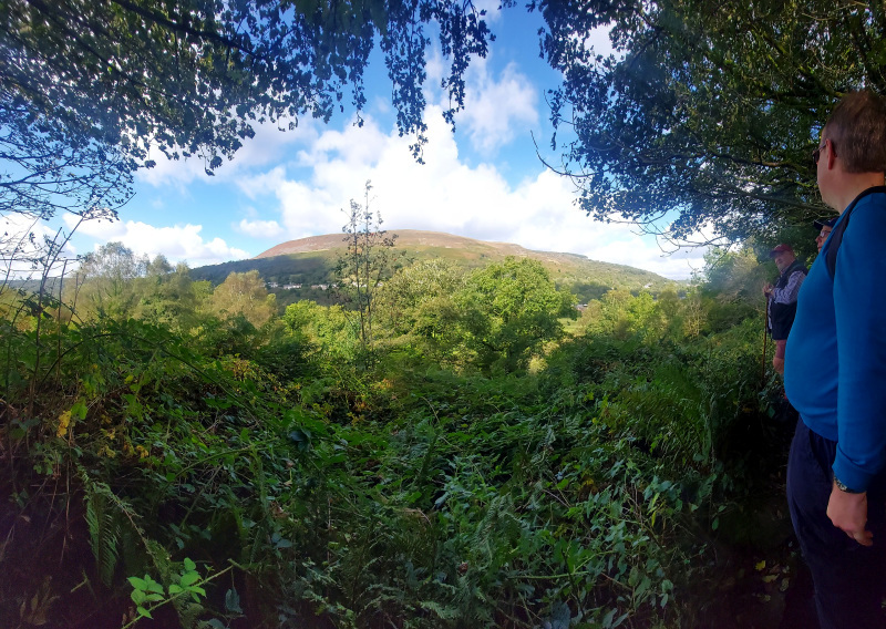
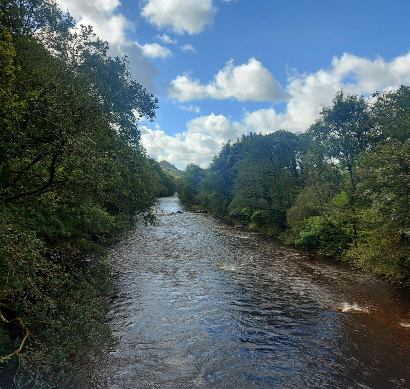
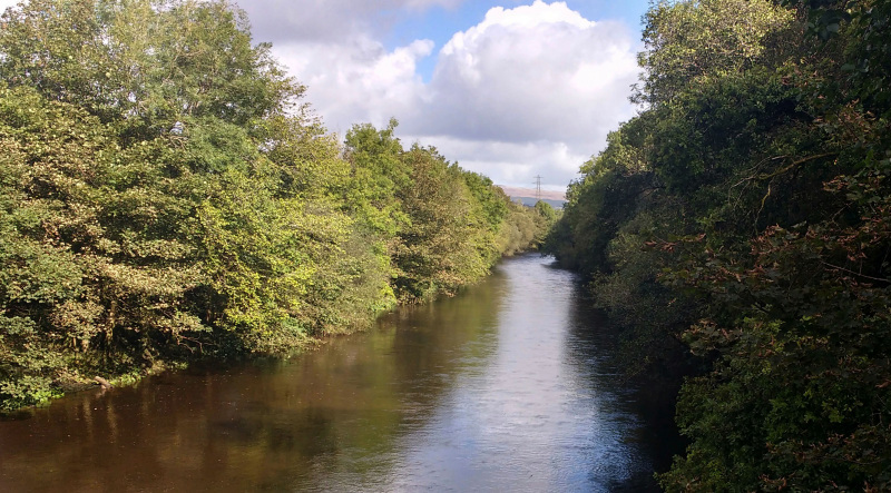
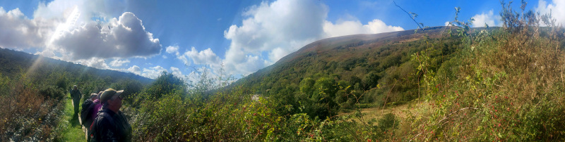
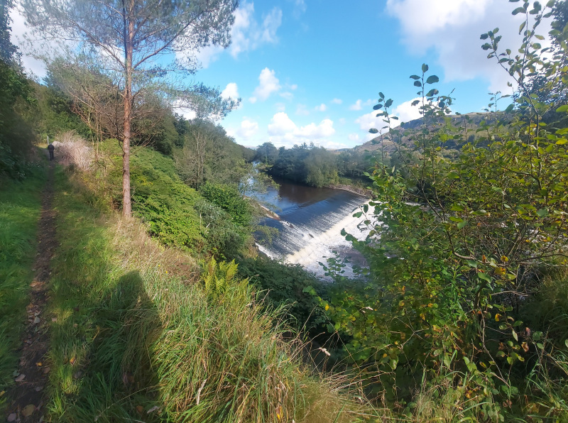
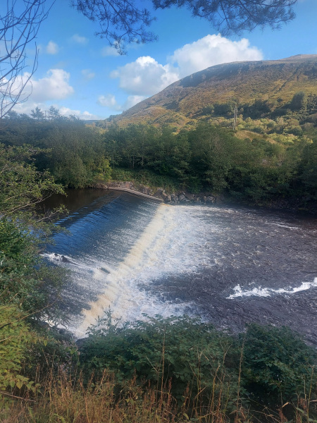
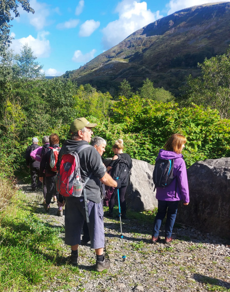
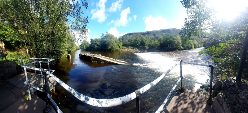
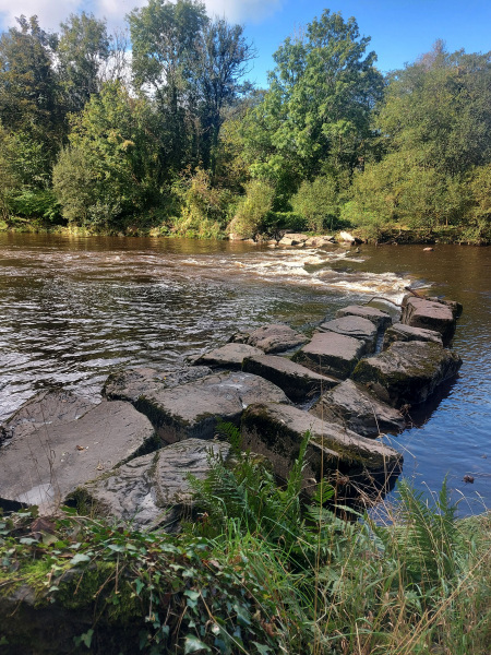
We walked from Pontardawe along the Swansea Canal.  Heading north, we followed the towpath until we crossed the road and entered the nature reserve formed from the disused canal.  At Godre'r-graig, we crossed the A4067 to visit the memorial to the Gleision Mine Disaster.  Heading further north, we made our way as far as the ASDA Roundabout then returned via the cycle path.


Swansea Ramblers offer a range of walks for most abilities.

Try an easy walk of 2-3 hours or our longer strenuous mountain walks for the experienced walker.

Maybe you'd like to explore walking for the first time with a friendly group of people?
- Come with Swansea Ramblers!

If you'd like to try a Swansea walk then do come along and find out what the great outdoors is all about.

It won't cost you anything to come along and see if walking is for you.
You'll be very welcome to join us for three free walks.

If you enjoy walking with us and want to come on even more of our walks, just become a member.

When you join us for a Swansea Walk, ask us about the other walks and social events we do.


Photographs


Photograph of Walking Route - Image 1
Leaders Huw Davies and Gary Evans


Photograph of Walking Route - Image 2
Huw tells us about the walk
Photograph copyright: Richard Beale


Photograph of Walking Route - Image 3


Photograph of Walking Route - Image 4
The leaders tell us about some of the local history


Photograph of Walking Route - Image 5


Photograph of Walking Route - Image 6
Pontardawe has a very large church tower


Photograph of Walking Route - Image 7
Joined the canal


Photograph of Walking Route - Image 8
Peaceful to walk alongside water


Photograph of Walking Route - Image 9
But the canal is derelict


Photograph of Walking Route - Image 10
And the locks no longer work


Photograph of Walking Route - Image 11
Photograph copyright: Richard Beale


Photograph of Walking Route - Image 12
Photograph copyright: Richard Beale


Photograph of Walking Route - Image 13
One of the disused locks


Photograph of Walking Route - Image 14
Not much water left


Photograph of Walking Route - Image 15


Photograph of Walking Route - Image 16
Quick tea stop then off again


Photograph of Walking Route - Image 17


Photograph of Walking Route - Image 18
Crossing the A4067


Photograph of Walking Route - Image 19
The memorial to the Gleision Mine Disaster


Photograph of Walking Route - Image 20


Photograph of Walking Route - Image 21


Photograph of Walking Route - Image 22
Photograph copyright: Richard Beale


Photograph of Walking Route - Image 23
Photograph copyright: Richard Beale


Photograph of Walking Route - Image 24
Followed the woodland path to the waterfall


Photograph of Walking Route - Image 25
Photograph copyright: Richard Beale


Photograph of Walking Route - Image 26
Photograph copyright: Richard Beale


Photograph of Walking Route - Image 27


Photograph of Walking Route - Image 28
Mynydd Allt-y-grug in the distance


Photograph of Walking Route - Image 29
River Tawe
Photograph copyright: Richard Beale


Photograph of Walking Route - Image 30


Photograph of Walking Route - Image 31
Mynydd Allt-y-grug


Photograph of Walking Route - Image 32
The weir south of Ystradgynlais


Photograph of Walking Route - Image 33


Photograph of Walking Route - Image 34


Photograph of Walking Route - Image 35


Photograph of Walking Route - Image 36
Another weir on the Tawe


Ordnance Survey map of the route walked
Resizable and draggable
(Can be reset to original dimensions by refreshing the page)
Green Swansea Ramblers logo markers where present can be clicked to provide more information


All photographs Copyright  Andrew Morgan (Except where indicated) 2021
All rights reserved


Back to top

Our use of Cookies

Our Privacy Policy


Valid HTML 4.01 Transitional