Ramblers Cymru Logo Image of Countryside
Swansea Ramblers Logo
at the heart of walking


Swansea Ramblers Walk


The other Witford Point

29th August 2020

Leader: Andrew Morgan


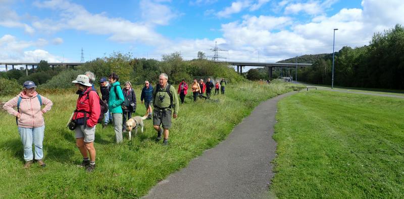
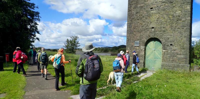
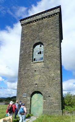
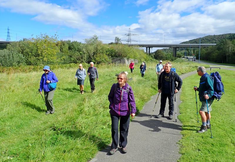
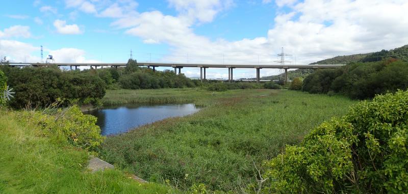
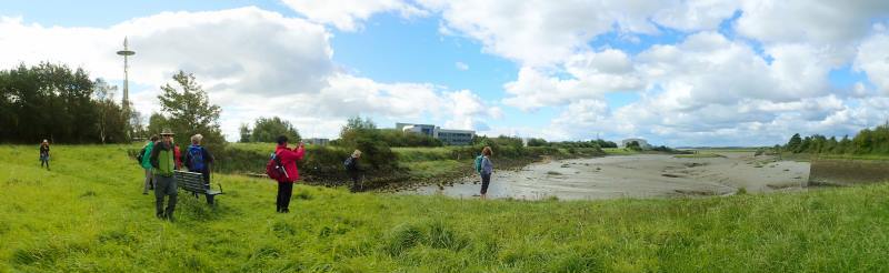
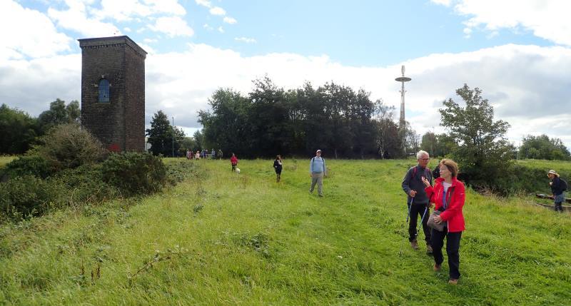
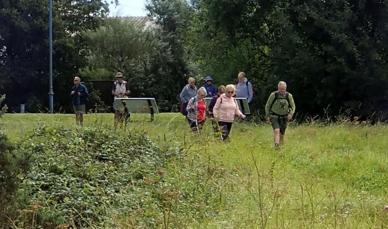
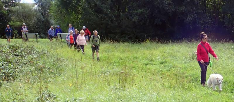
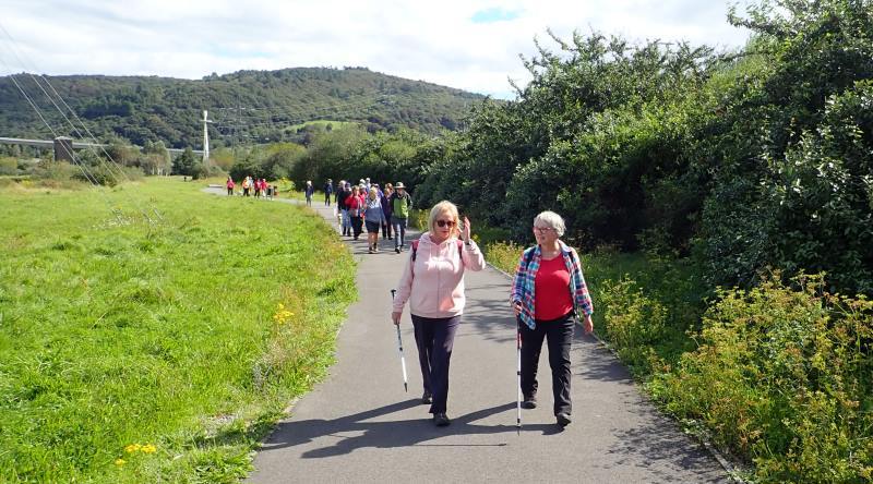
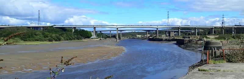
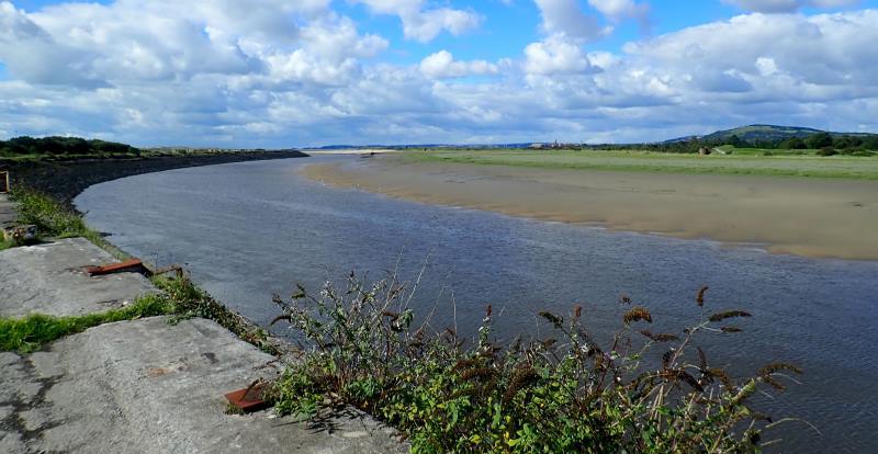
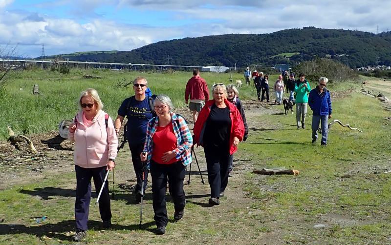
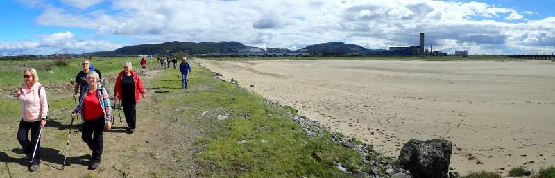
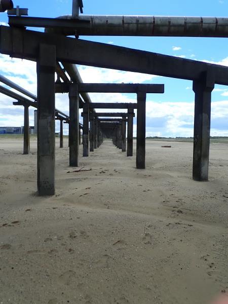
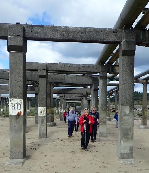
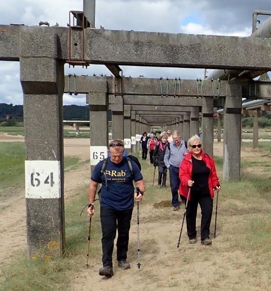
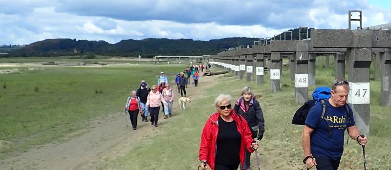
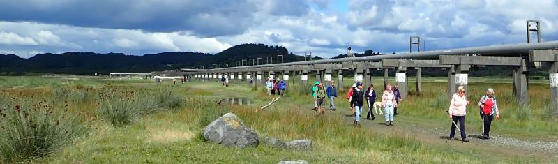
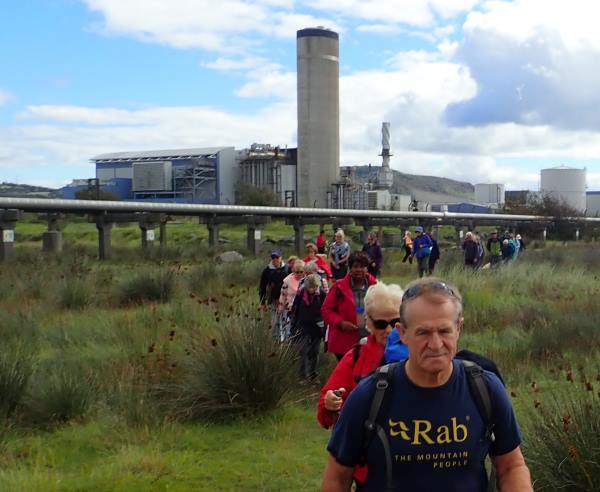
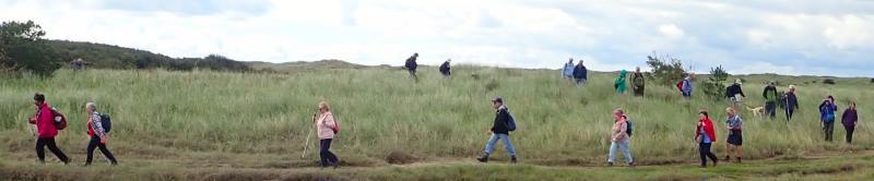
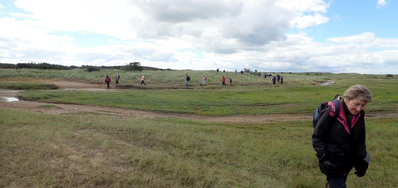
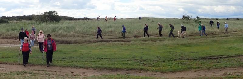
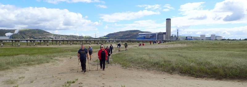
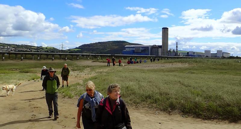
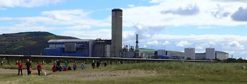
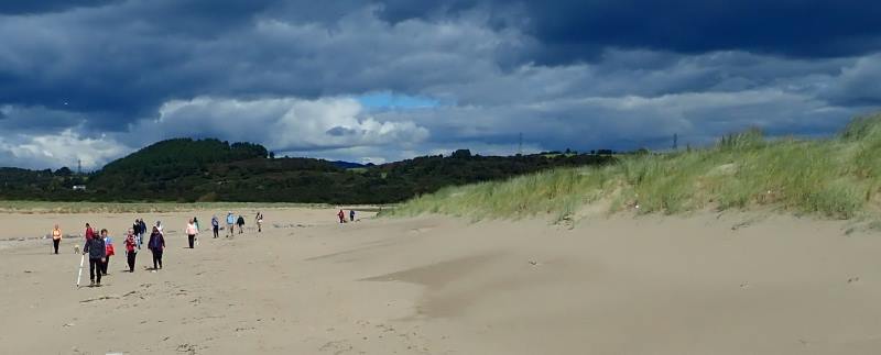
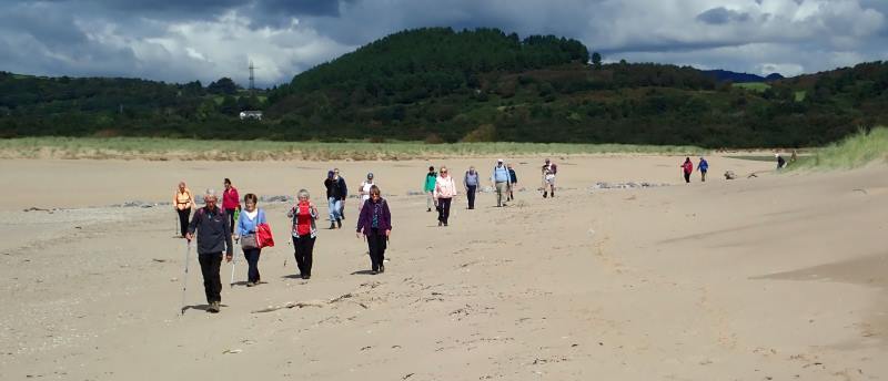
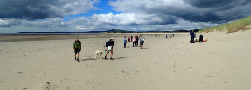
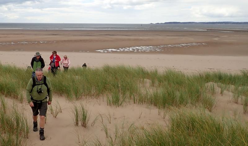
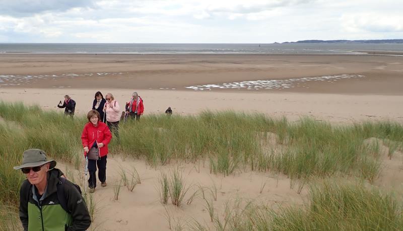
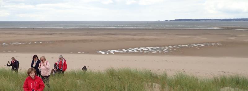
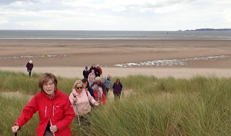
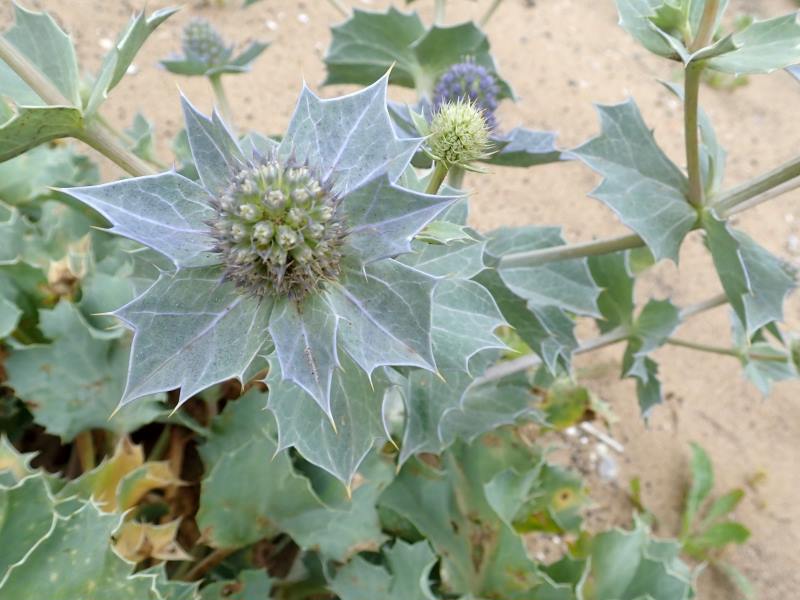
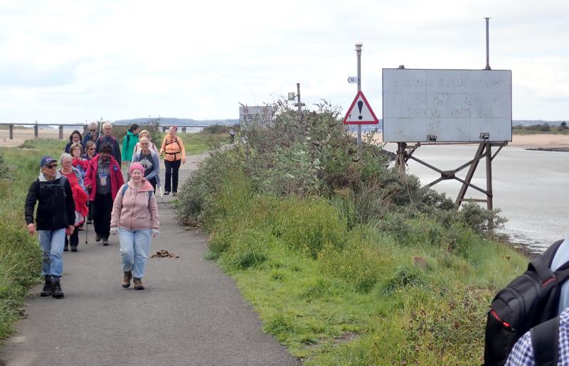
Having often visited Whiteford Point at the far western edge of Gower, we decided to walk around the other Witford Point to the east of Swansea  The weather was lovely and we were happy to be able to walk again after COVID lockdown.

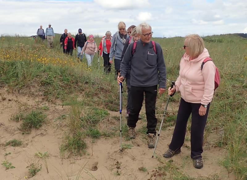
Swansea Ramblers offer a range of walks for most abilities from the long strenuous mountain walks for the experienced walker to the short, easy lowland walks where maybe you'd like to explore walking for the first time with a friendly group of people.

If you'd like to try a walk then do come along and find out what all this Swansea Walking in the great outdoors is all about.  It won't cost you anything to come along and see if walking is for you.

If you get the bug and want to walk or stroll regularly then you can also become a member.  Just ask us about the walks and social events we do when you join us for a Swansea Walk.


Photographs


Photograph of Walking Route - Image 1
Leader: Andrew Morgan


Photograph of Walking Route - Image 2
Close to the M4 flyover, we set off in sunshine


Photograph of Walking Route - Image 3
And quickly reached the historic Brunel Tower


Photograph of Walking Route - Image 4
Part of the mechanism to control the dock


Photograph of Walking Route - Image 5
There were almost 30 of us, the maximum allowed under COVID regulations


Photograph of Walking Route - Image 6
The busy M4 flyover in contrast to the now quiet Brunel Dock


Photograph of Walking Route - Image 7
The other half of the dock is silted up


Photograph of Walking Route - Image 8


Photograph of Walking Route - Image 9


Photograph of Walking Route - Image 10


Photograph of Walking Route - Image 11
Following the riverside section of the Wales Coast Path


Photograph of Walking Route - Image 12


Photograph of Walking Route - Image 13
River Neath on its way into Swansea Bay


Photograph of Walking Route - Image 14


Photograph of Walking Route - Image 15
At high tide, the water is both side of the riverbank


Photograph of Walking Route - Image 16
but at low tide we can walk beneath the raised pipeline


Photograph of Walking Route - Image 17


Photograph of Walking Route - Image 18


Photograph of Walking Route - Image 19
Once used by BP, this now pumps millions of gallons of water from the Tennant Canal


Photograph of Walking Route - Image 20


Photograph of Walking Route - Image 21
Water is pumped to the factory


Photograph of Walking Route - Image 22


Photograph of Walking Route - Image 23
Witford Point is rich in salt loving flora


Photograph of Walking Route - Image 24
This area floods at high tide


Photograph of Walking Route - Image 25


Photograph of Walking Route - Image 26


Photograph of Walking Route - Image 27


Photograph of Walking Route - Image 28
The beach curves away from the river


Photograph of Walking Route - Image 29


Photograph of Walking Route - Image 30
Stopping for lunch with views across the bay to Mumbles Lighthouse


Photograph of Walking Route - Image 31
Then inland back into the dunes


Photograph of Walking Route - Image 32


Photograph of Walking Route - Image 33


Photograph of Walking Route - Image 34


Photograph of Walking Route - Image 35


Photograph of Walking Route - Image 36
Sea Holly had a beautiful blue sheen but the was past its best


Photograph of Walking Route - Image 37


Photograph of Walking Route - Image 38
Back along the riverside path


Ordnance Survey map of the route walked
Resizable and draggable
(Can be reset to original dimensions by refreshing the page)
Green Swansea Ramblers logo markers where present can be clicked to provide more information


All photographs Copyright  Andrew Morgan 2020
All rights reserved


Back to top

Our use of Cookies

Our Privacy Policy


Valid HTML 4.01 Transitional