Ramblers Cymru Logo Image of Countryside
Swansea Ramblers Logo
at the heart of walking


Swansea Ramblers Walk


Kenfig Burrows
Almost underwater!

19th January 2014

Leader: Gail Allen


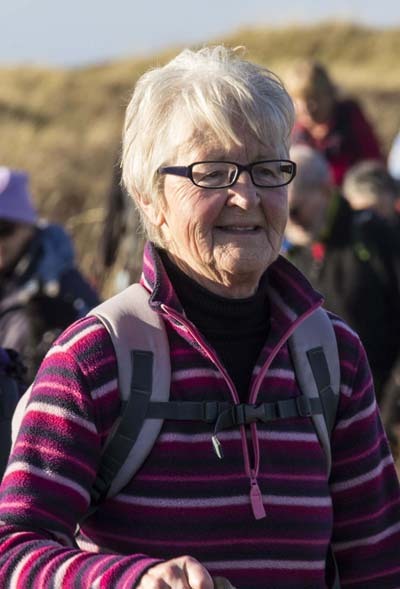
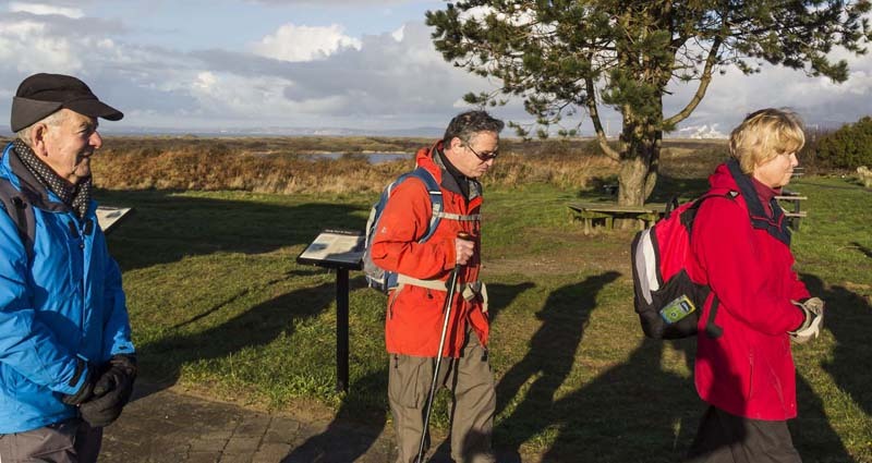
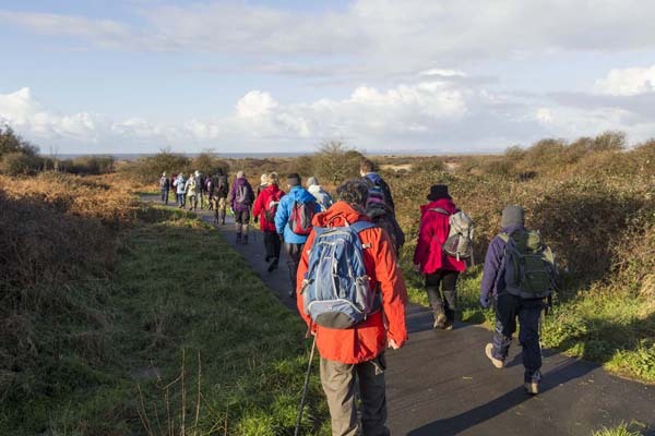
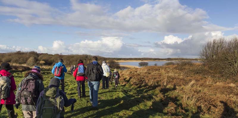
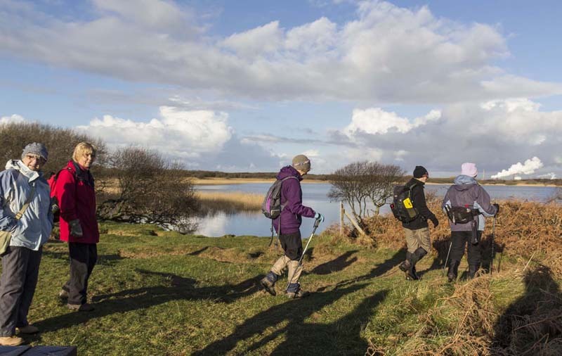
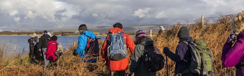
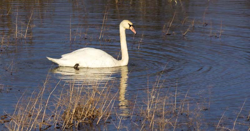
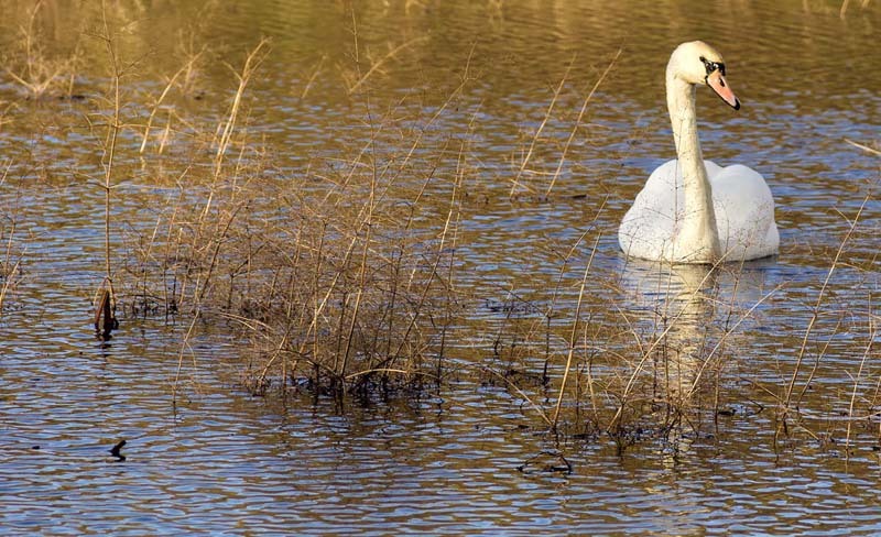
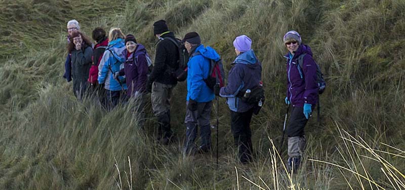
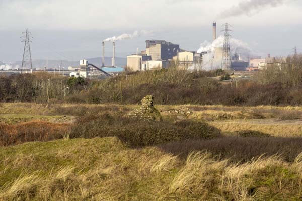
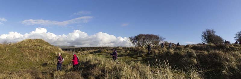
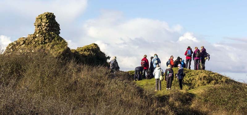
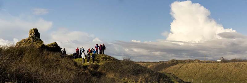
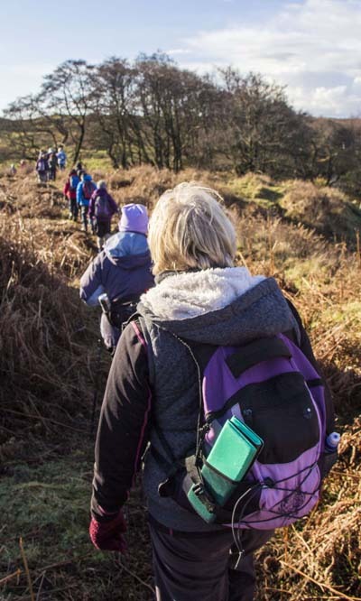
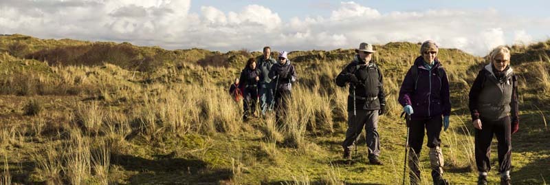
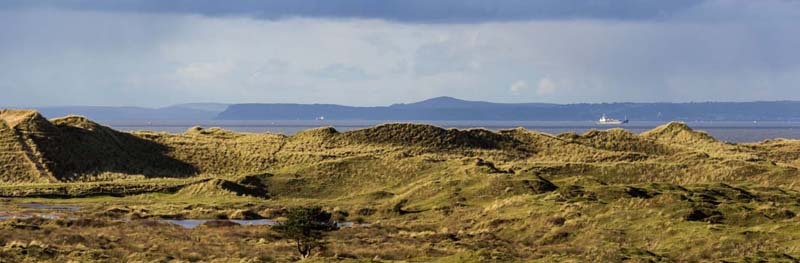
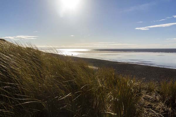
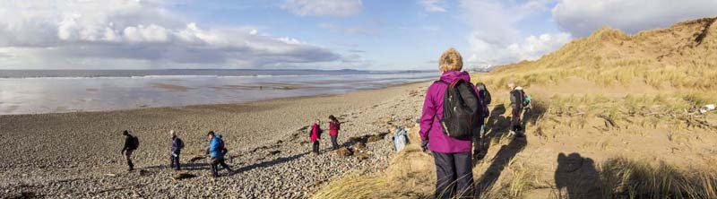
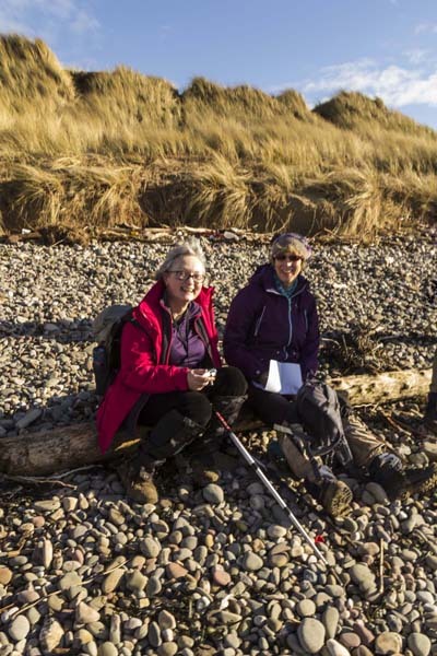
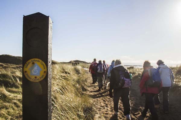
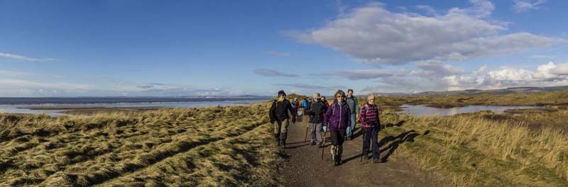
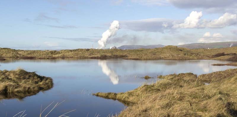
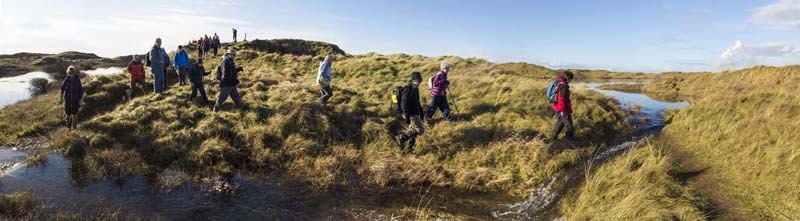
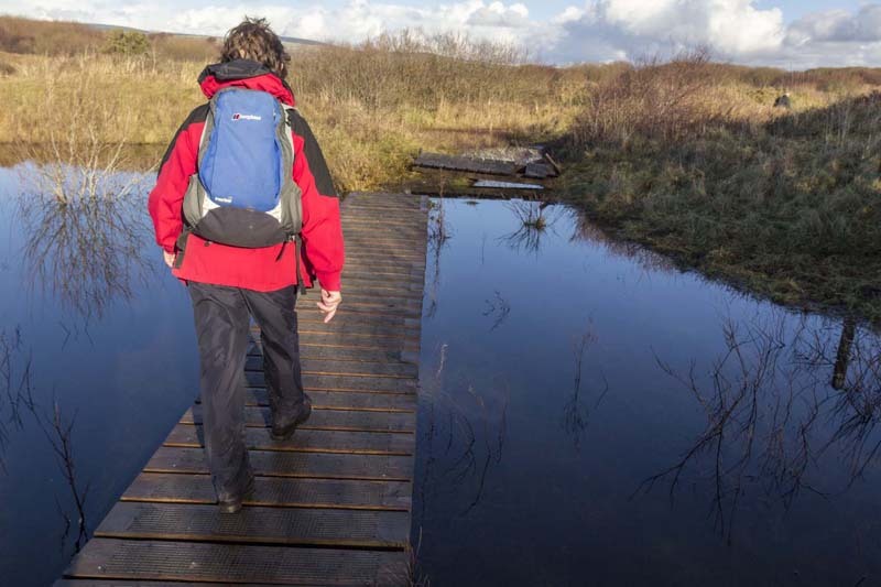
Swansea Ramblers went to Kenfig National Nature Reserve in the County of Bridgend after a sustained period of heavy rain.

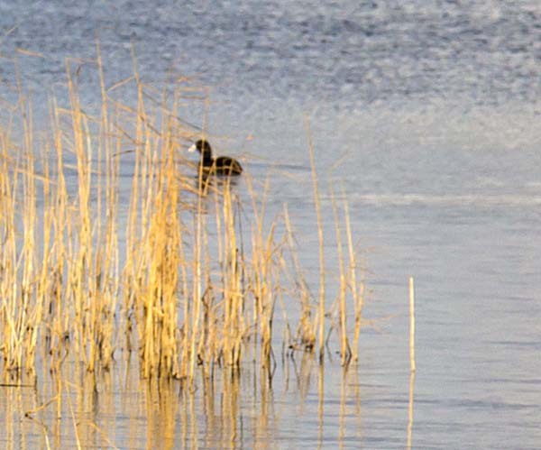
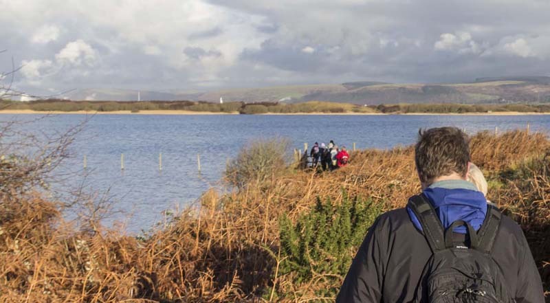
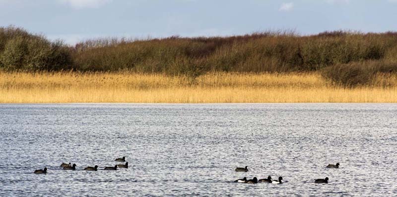
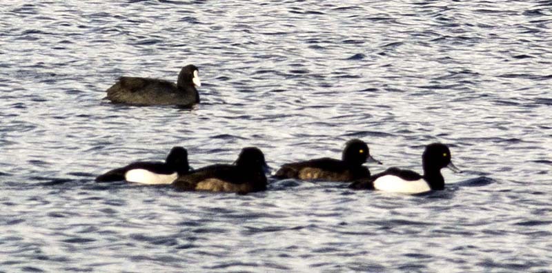
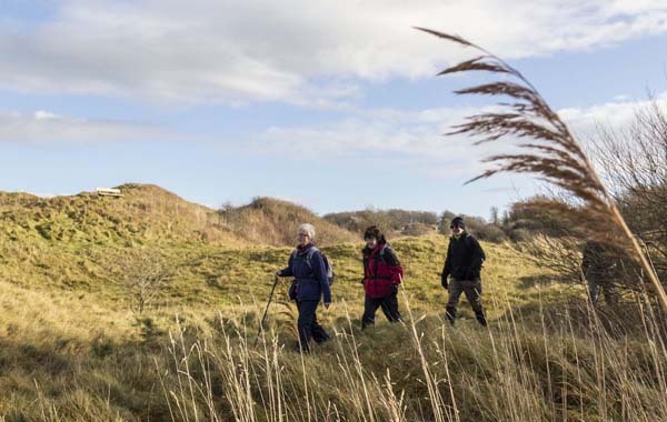
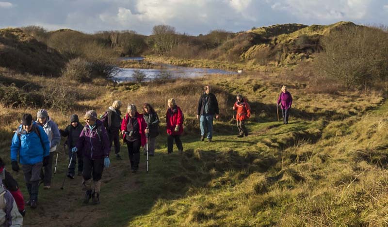
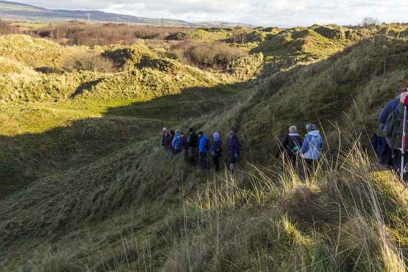
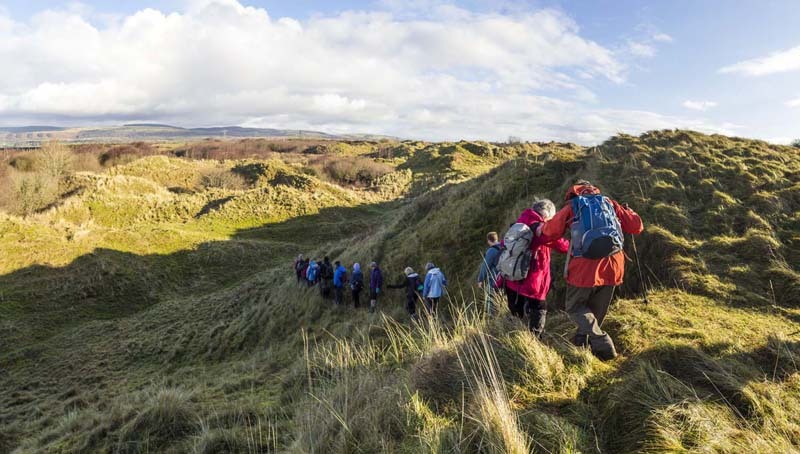
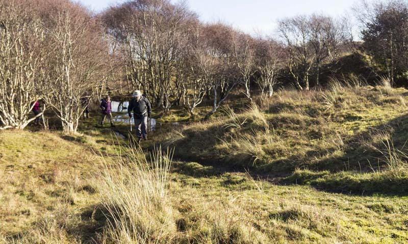
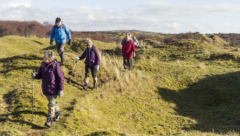
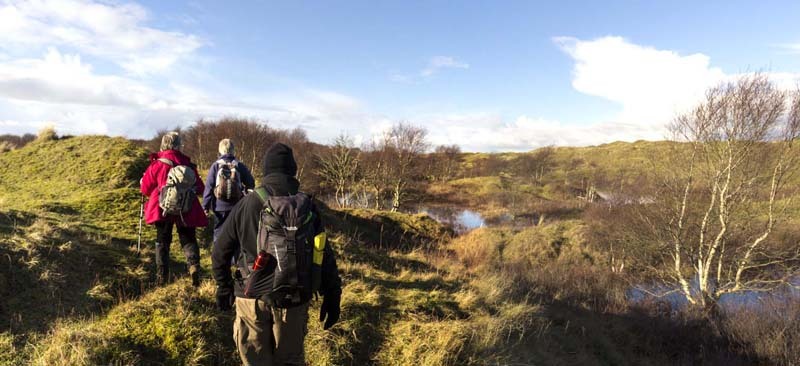
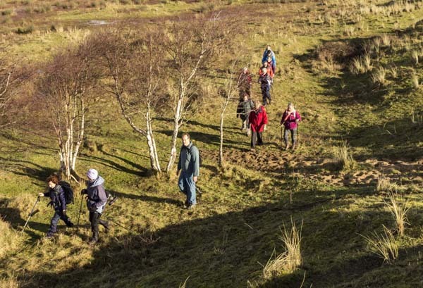
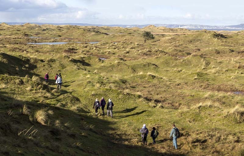
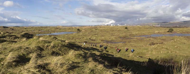
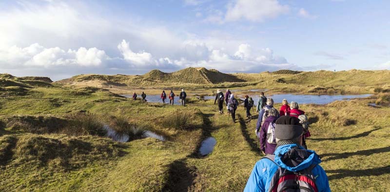
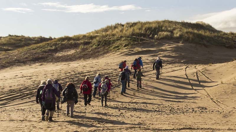
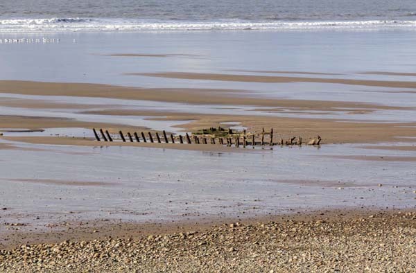
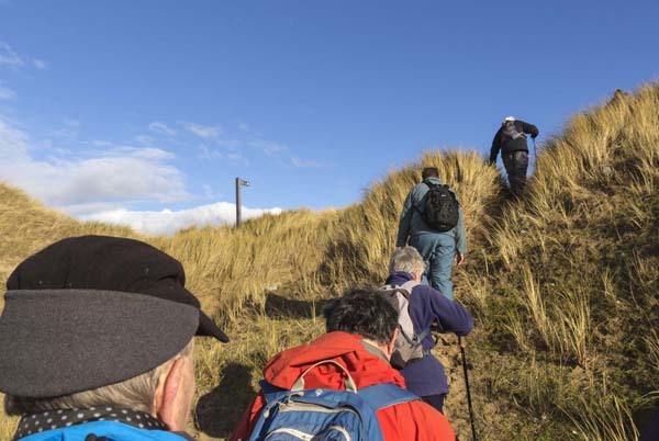
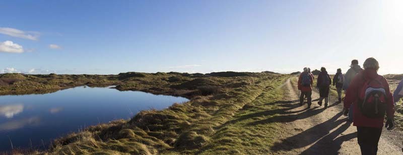
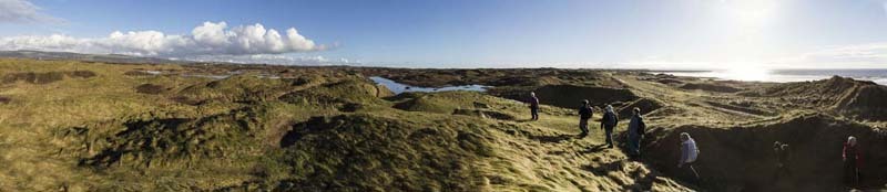
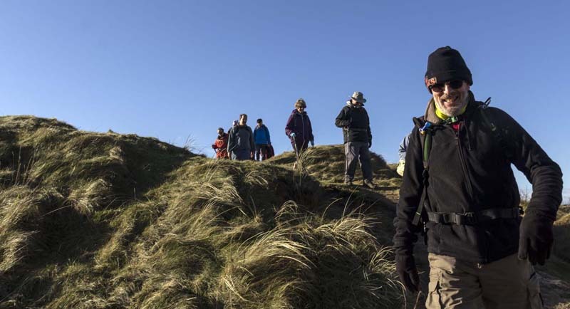
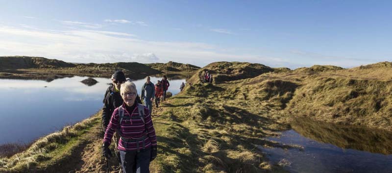
Although a lovely sunny day when we walked around the burrows, ground water lay everywhere, sometimes making it difficult to use the paths, some of which were under six foot of water!  The storms had removed a lot of the high sand dunes and exposed the ribs of an old ship wreck.  

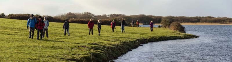
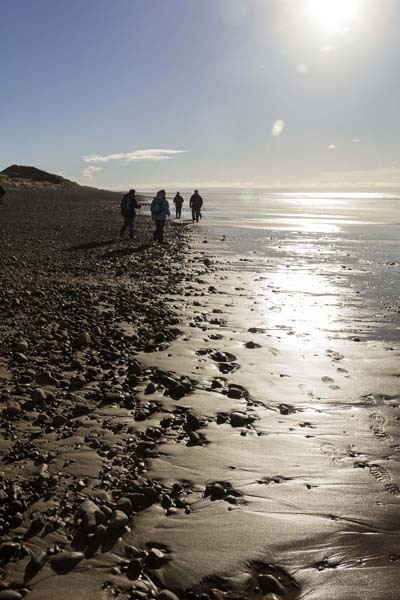
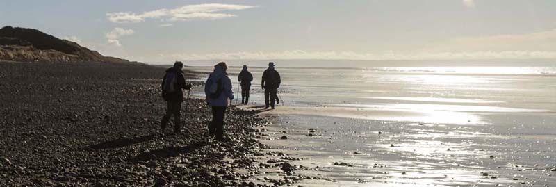
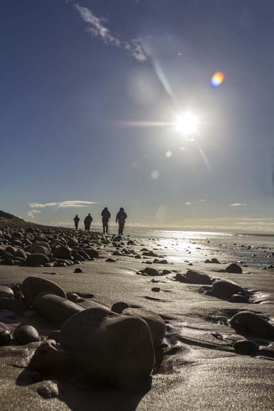
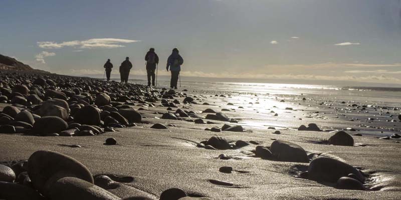
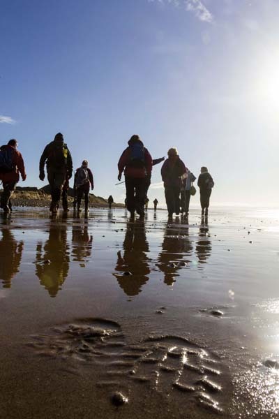
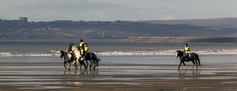
We strolled back along the beach then turned inland to find our way on high ground to avoid the flooded areas.  

If you'd like to try a walk then do come along and find out what all this Swansea Walking in the great outdoors is all about.  It won't cost you anything to come along and see if walking is for you.  If you get the bug and want to walk or stroll regularly then you can also become a member.  Just ask us about the walks we do when you join us for a Swansea Walk.


Photographs


Photograph of Walking Route - Image 1
Leader: Gail Allen


Photograph of Walking Route - Image 2
Setting off from the visitor centre


Photograph of Walking Route - Image 3
Heading for Kenfig Pool


Photograph of Walking Route - Image 4


Photograph of Walking Route - Image 5


Photograph of Walking Route - Image 6
Tree surrounded by water!


Photograph of Walking Route - Image 7
He doesn't mind all the extra water!


Photograph of Walking Route - Image 8
But wants to play hide and seek


Photograph of Walking Route - Image 9
We can see you!


Photograph of Walking Route - Image 10
Kenfig Pool always contains a lot of water


Photograph of Walking Route - Image 11


Photograph of Walking Route - Image 12


Photograph of Walking Route - Image 13


Photograph of Walking Route - Image 14
Funny looking goose


Photograph of Walking Route - Image 15


Photograph of Walking Route - Image 16
Found a dry bit of path


Photograph of Walking Route - Image 17


Photograph of Walking Route - Image 18


Photograph of Walking Route - Image 19
But lots of areas were flooded


Photograph of Walking Route - Image 20


Photograph of Walking Route - Image 21


Photograph of Walking Route - Image 22


Photograph of Walking Route - Image 23
Swansea across the bay


Photograph of Walking Route - Image 24
Gail points out Kenfig Castle


Photograph of Walking Route - Image 25
Tata Steelworks in Port Talbot
with the castle in front of it


Photograph of Walking Route - Image 26


Photograph of Walking Route - Image 27
Lunch at the castle


Photograph of Walking Route - Image 28
Steelworks in the distance


Photograph of Walking Route - Image 29
Off we go again


Photograph of Walking Route - Image 30
Dodged the wet bits again


Photograph of Walking Route - Image 31


Photograph of Walking Route - Image 32


Photograph of Walking Route - Image 33
Even more water from the storms


Photograph of Walking Route - Image 34


Photograph of Walking Route - Image 35


Photograph of Walking Route - Image 36
Expansive dune system


Photograph of Walking Route - Image 37
Very expansive dune system!


Photograph of Walking Route - Image 38
Gower in the distance


Photograph of Walking Route - Image 39
... and Swansea


Photograph of Walking Route - Image 40


Photograph of Walking Route - Image 41
Near the beach and the dunes have been blown away


Photograph of Walking Route - Image 42


Photograph of Walking Route - Image 43
Swansea Bay from Kenfig


Photograph of Walking Route - Image 44
Old ship wreck


Photograph of Walking Route - Image 45
Tata Steel


Photograph of Walking Route - Image 46
Tea stop on the beach


Photograph of Walking Route - Image 47
Gower again


Photograph of Walking Route - Image 48
Off we go


Photograph of Walking Route - Image 49


Photograph of Walking Route - Image 50


Photograph of Walking Route - Image 51


Photograph of Walking Route - Image 52
Leave only boot prints!


Photograph of Walking Route - Image 53


Photograph of Walking Route - Image 54
... and only hoof prints


Photograph of Walking Route - Image 55
Back inland


Photograph of Walking Route - Image 56
More temporary pools of water


Photograph of Walking Route - Image 57
Wales Coast Path


Photograph of Walking Route - Image 58


Photograph of Walking Route - Image 59


Photograph of Walking Route - Image 60


Photograph of Walking Route - Image 61
To the left (Somewhere underwater)
is the coastal access path back to the visitor centre


Photograph of Walking Route - Image 62


Photograph of Walking Route - Image 63
Crossing a torrent of flood water on its way to the sea


Photograph of Walking Route - Image 64
Board walk was flooded in places


Photograph of Walking Route - Image 65
More photos can be seen at Elaine Reed's photo gallery on www.pbase.com

Click here to open the gallery in a new window

This is an independent photosharing website with content not controlled by Swansea Ramblers


Ordnance Survey map of the route walked
Resizable and draggable
(Can be reset to original dimensions by refreshing the page)
Green Swansea Ramblers logo markers where present can be clicked to provide more information


All photographs Copyright  Andrew Morgan 2014
All rights reserved


Back to top

Our use of Cookies

Our Privacy Policy


Valid HTML 4.01 Transitional