Ramblers Cymru Logo Image of Countryside
Swansea Ramblers Logo
at the heart of walking


Swansea Ramblers Walk


Crymlyn Burrows
and Tennant Canal

4th January 2014

Leader: Gail Allen


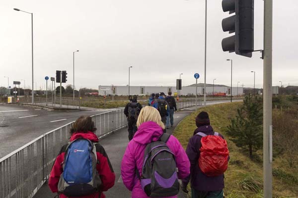
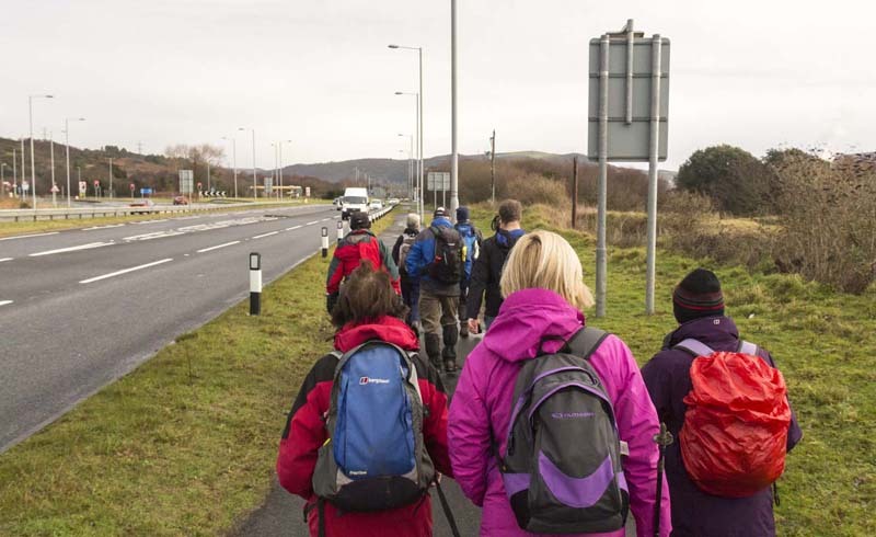
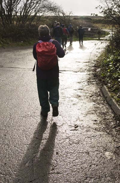
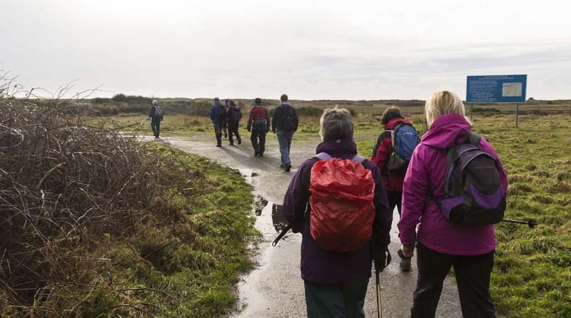
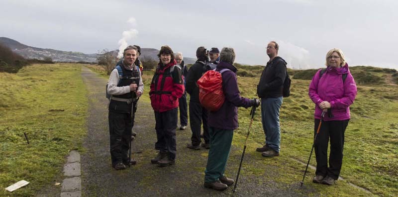
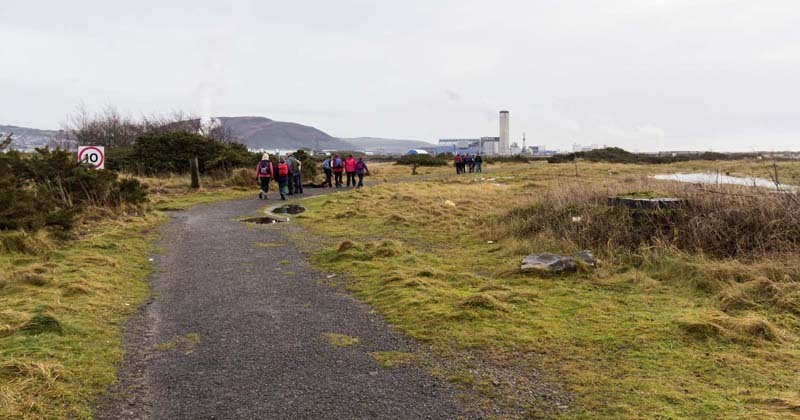
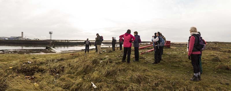
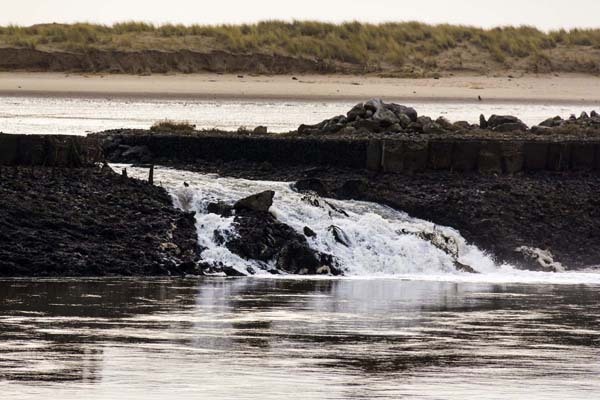
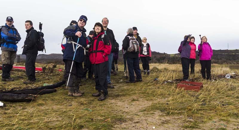
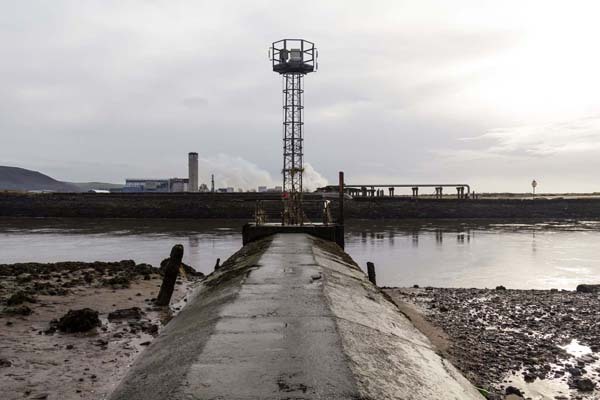
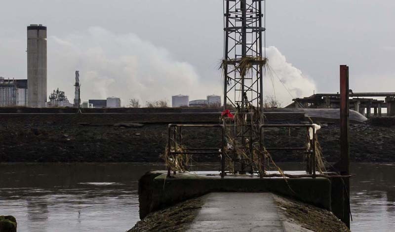
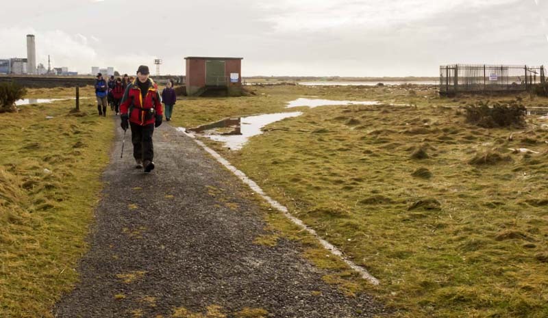
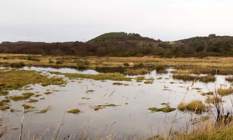
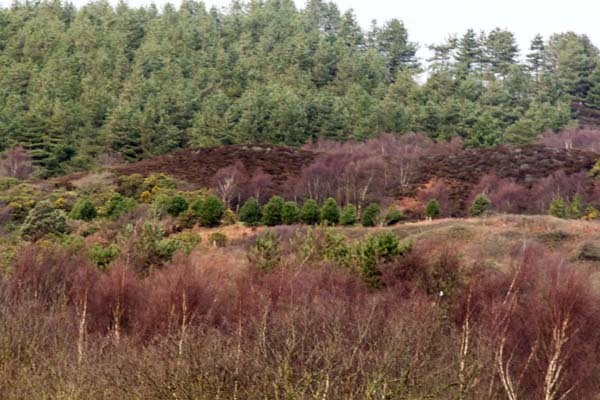
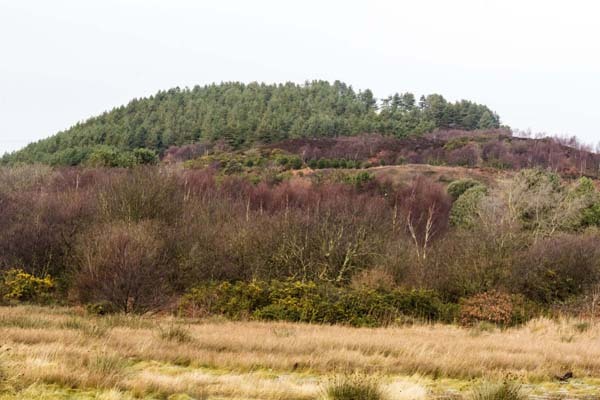
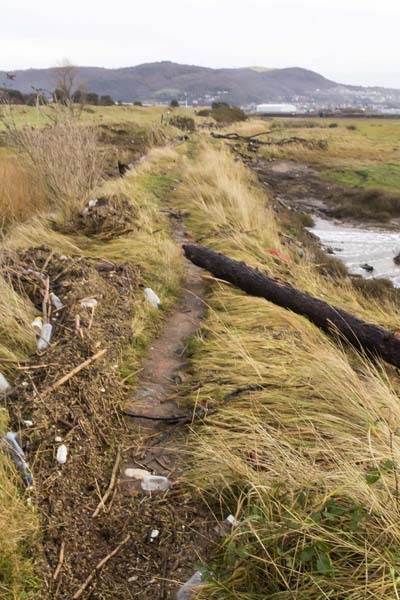
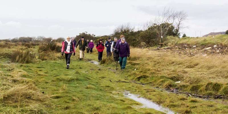
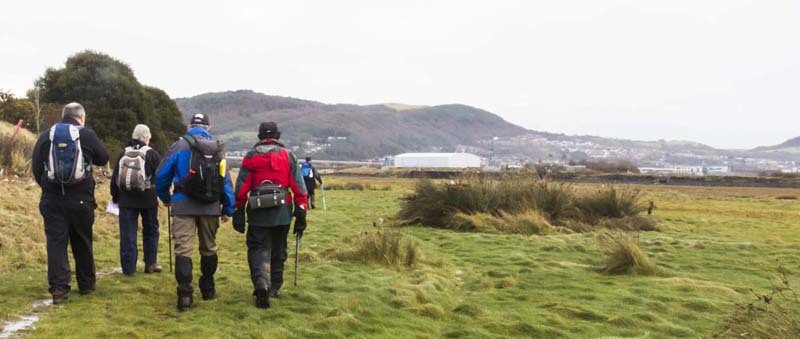
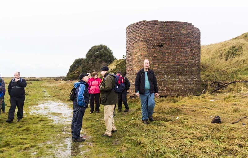
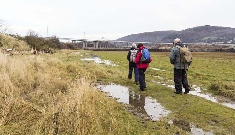
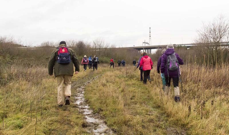
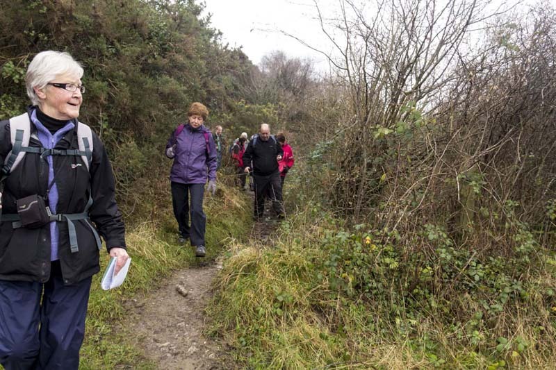
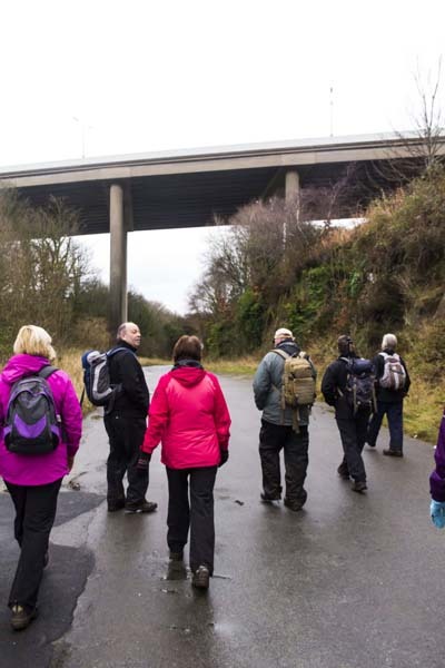
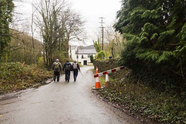
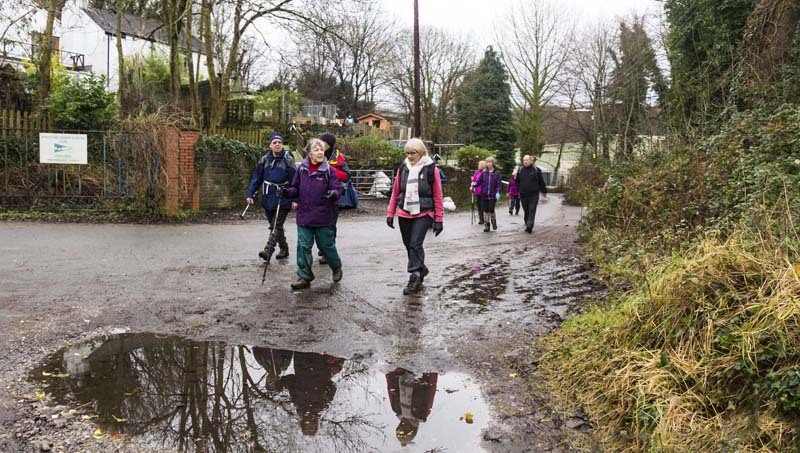
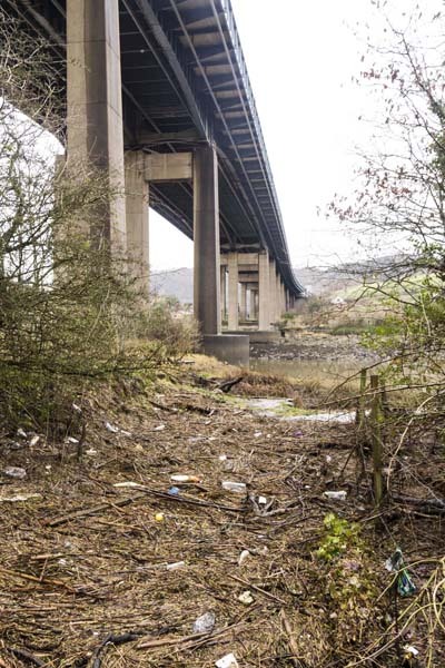
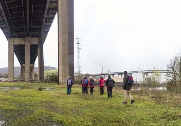
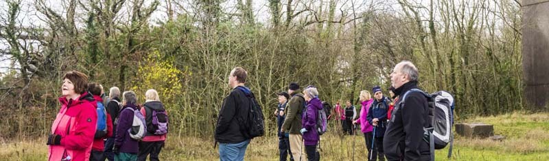
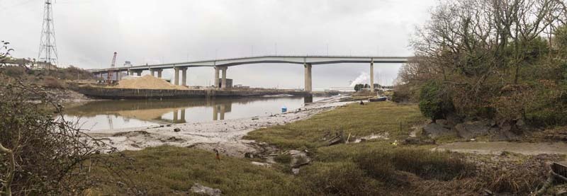
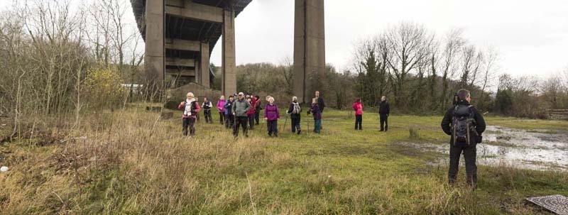
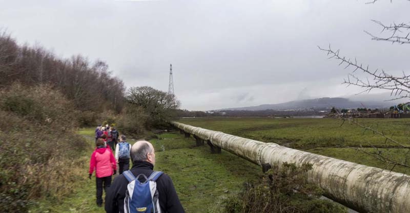
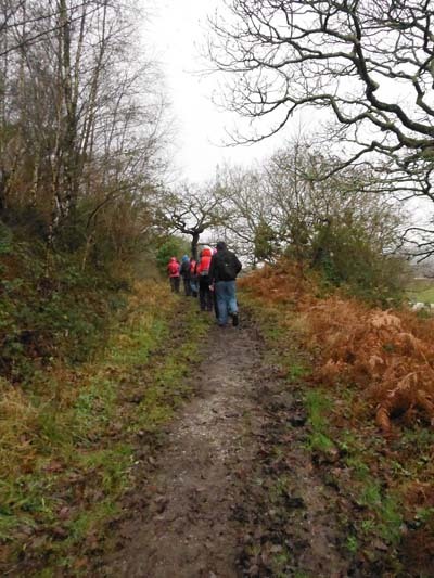
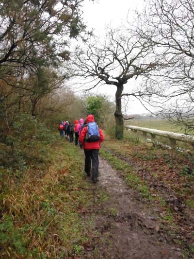
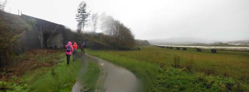
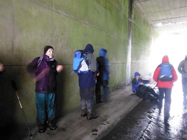
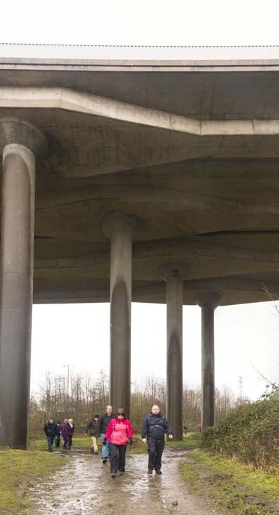
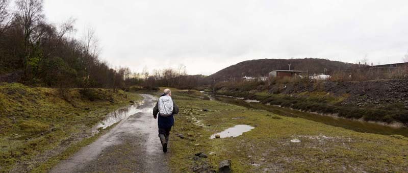
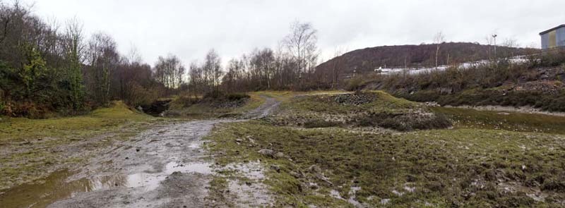
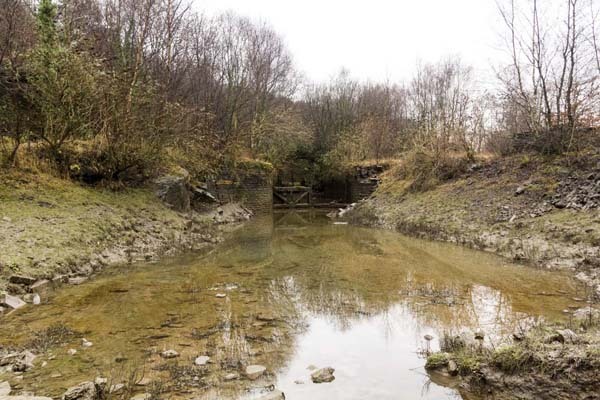
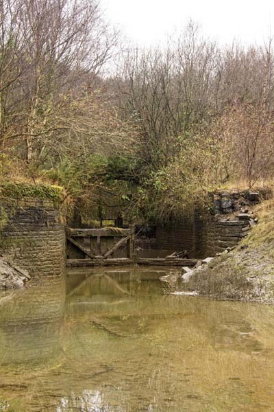
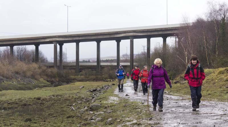
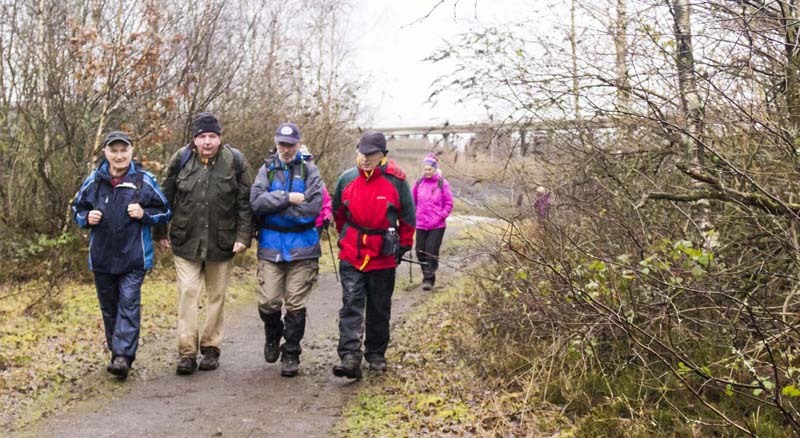
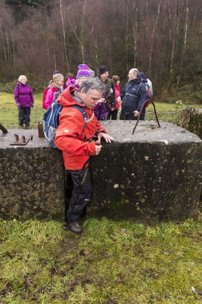
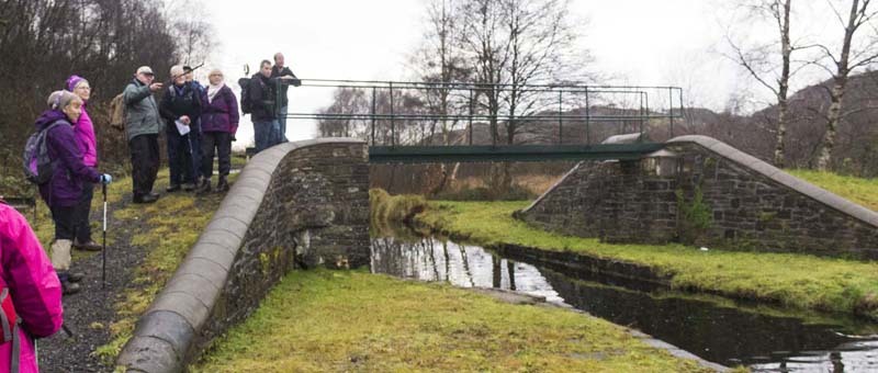
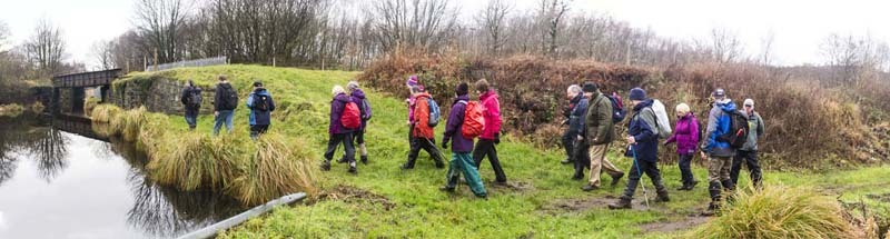
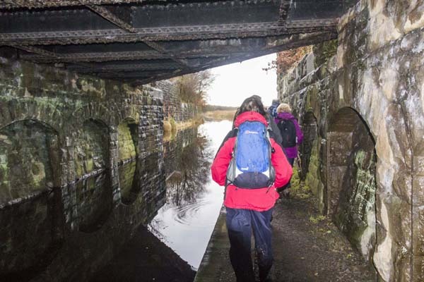
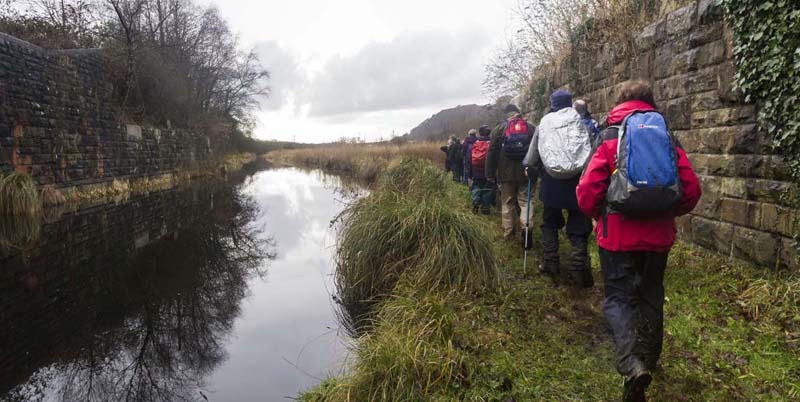
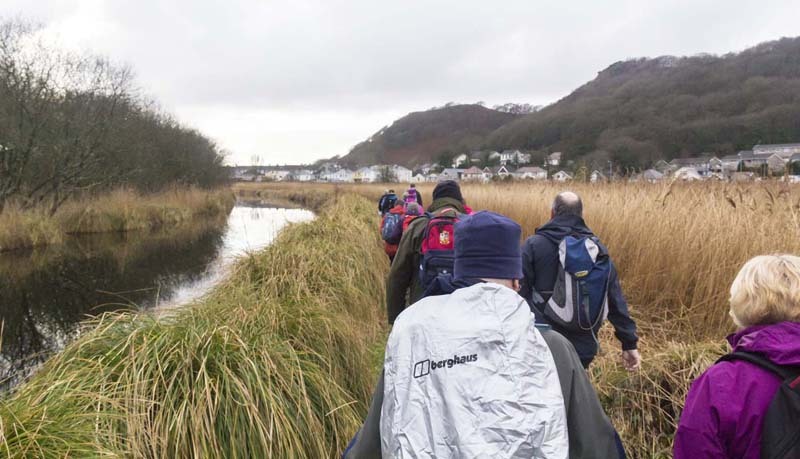
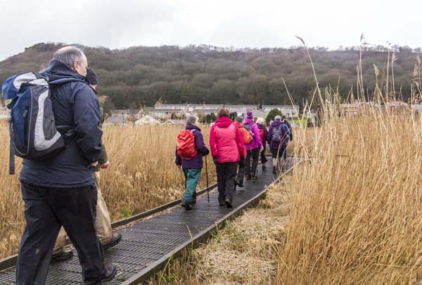
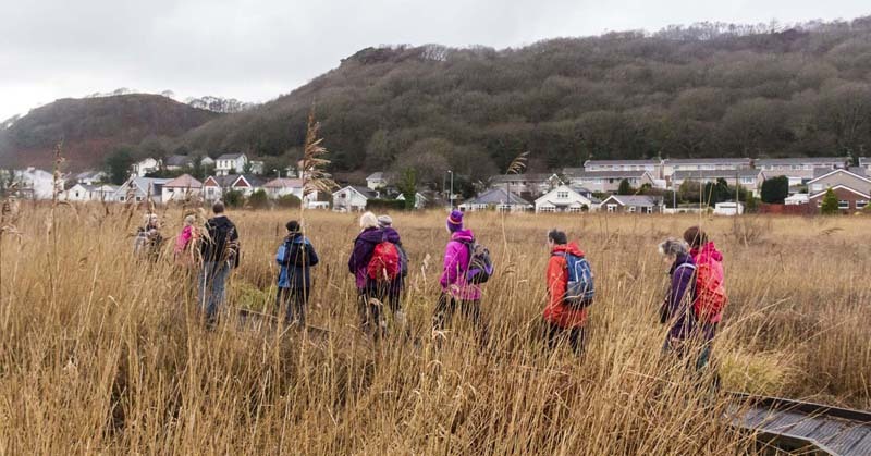
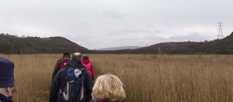
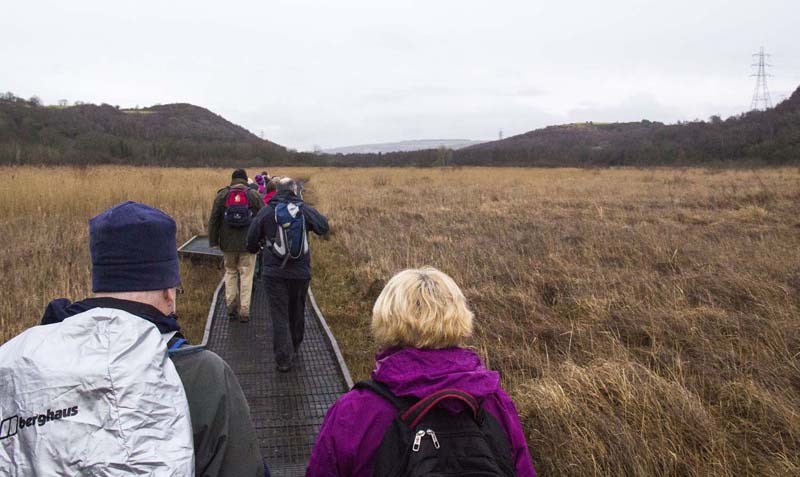
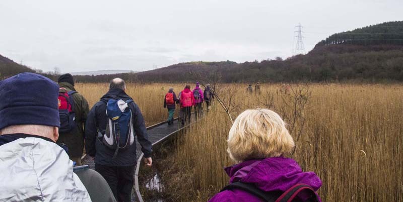
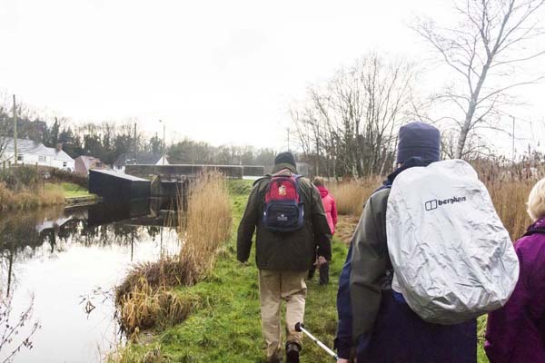
Gail took us on a day following exceptionally high tides which had washed up a lot of debris and reached a height not often seen by locals.  Plenty of water lay in large pools on the dunes.  We made our way under the M4 and Briton Ferry Bridge then explored Red Jacket Pill where remains of long forgotten industry can still be seen.


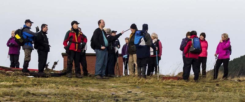
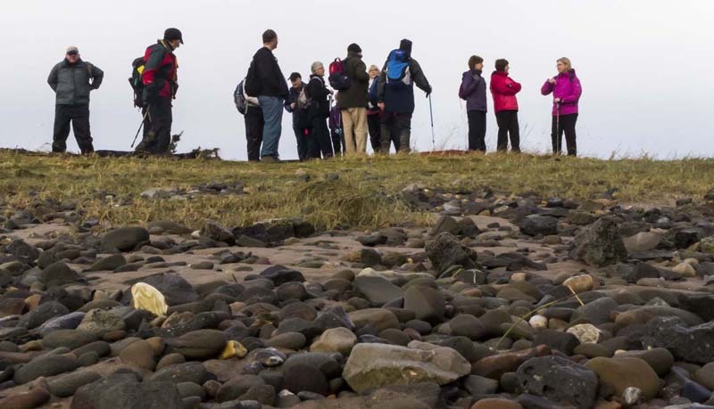
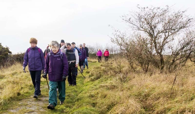
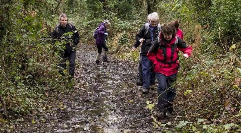
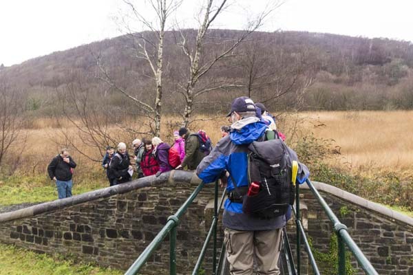
Swansea Ramblers offer a range of walks for most abilities.

Try an easy walk of 2-3 hours or our longer strenuous mountain walks for the experienced walker.

Maybe you'd like to explore walking for the first time with a friendly group of people?
- Come with Swansea Ramblers!

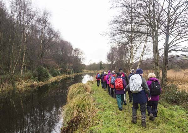
If you'd like to try a Swansea walk then do come along and find out what the great outdoors is all about.

It won't cost you anything to come along and see if walking is for you.
You'll be very welcome to join us for three free walks.

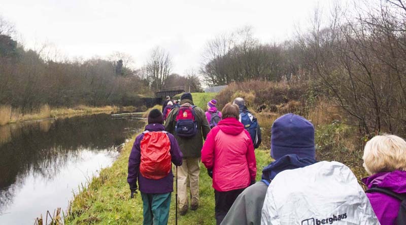
If you enjoy walking with us and want to come on even more of our walks, just become a member.

When you join us for a Swansea Walk, ask us about the other walks and social events we do.


Photographs


Photograph of Walking Route - Image 1
Leader: Gail Allen


Photograph of Walking Route - Image 2
Going to pass Amazon's warehouse


Photograph of Walking Route - Image 3
Then double back after crossing the road


Photograph of Walking Route - Image 4
Winter sunshine


Photograph of Walking Route - Image 5
Onto Crymlyn Burrows SSSI


Photograph of Walking Route - Image 6
Having a catch up


Photograph of Walking Route - Image 7
Then off towards the River Neath


Photograph of Walking Route - Image 8
Exceptionally high storm surge earlier


Photograph of Walking Route - Image 9
Alongside the Neath River


Photograph of Walking Route - Image 10
Plenty of water around


Photograph of Walking Route - Image 11
Standing on the tide line


Photograph of Walking Route - Image 12
A lot of this tower disappeared under water


Photograph of Walking Route - Image 13
See the debris!


Photograph of Walking Route - Image 14
Gail points out where we go next


Photograph of Walking Route - Image 15


Photograph of Walking Route - Image 16
Heading for the tramroad


Photograph of Walking Route - Image 17
Lots of surface water after the storms


Photograph of Walking Route - Image 18
Winter colours


Photograph of Walking Route - Image 19


Photograph of Walking Route - Image 20
On the tramway


Photograph of Walking Route - Image 21
which was covered with debris


Photograph of Walking Route - Image 22
Walking below the level of the high tide


Photograph of Walking Route - Image 23


Photograph of Walking Route - Image 24
Air shaft for the coal mine


Photograph of Walking Route - Image 25
M4 bridge over the River Neath


Photograph of Walking Route - Image 26
Didn't expect to meet him here!


Photograph of Walking Route - Image 27
Heading inland to the flyover


Photograph of Walking Route - Image 28
Storms made it a bit muddy!


Photograph of Walking Route - Image 29
But Gail finds solid ground


Photograph of Walking Route - Image 30
And we head off under the M4


Photograph of Walking Route - Image 31
The old Ferryboat Inn ahead


Photograph of Walking Route - Image 32


Photograph of Walking Route - Image 33
Lots of storm debris under the Briton Ferry Bridge


Photograph of Walking Route - Image 34
Old and new bridges


Photograph of Walking Route - Image 35
People hadn't been here before


Photograph of Walking Route - Image 36
The M4 bridge


Photograph of Walking Route - Image 37


Photograph of Walking Route - Image 38
Setting off for Red Jacket Pill


Photograph of Walking Route - Image 39
Came to rain


Photograph of Walking Route - Image 40


Photograph of Walking Route - Image 41
Really came to rain!


Photograph of Walking Route - Image 42
Impromtu tea stop in the dry under the M4


Photograph of Walking Route - Image 43
Rain stopped so off we go


Photograph of Walking Route - Image 44
To Red Jacket Pill


Photograph of Walking Route - Image 45
The canal lock is up ahead


Photograph of Walking Route - Image 46
Disused, this opened into the pill at high tide from the Tennant Canal


Photograph of Walking Route - Image 47
A Copper Works was built here


Photograph of Walking Route - Image 48
Others come to see the lock gates
with the M4 flyover heading to the A465


Photograph of Walking Route - Image 49
Nearly at the Tennant Canal


Photograph of Walking Route - Image 50
A tight squeeze!


Photograph of Walking Route - Image 51
You mean the was a wider gap over there!


Photograph of Walking Route - Image 52
The replacement bridge on the Tennant Canal


Photograph of Walking Route - Image 53


Photograph of Walking Route - Image 54
Along the towpath


Photograph of Walking Route - Image 55


Photograph of Walking Route - Image 56
Railway crosses the canal


Photograph of Walking Route - Image 57
and we go under it


Photograph of Walking Route - Image 58


Photograph of Walking Route - Image 59
Reflections of grasses


Photograph of Walking Route - Image 60
Jersey Marine Village up ahead


Photograph of Walking Route - Image 61
Onto the boardwalk


Photograph of Walking Route - Image 62


Photograph of Walking Route - Image 63


Photograph of Walking Route - Image 64


Photograph of Walking Route - Image 65


Photograph of Walking Route - Image 66
Into Jersey Marine


Photograph of Walking Route - Image 67


Photograph of Walking Route - Image 68
Finish at The Towers for refreshments


Ordnance Survey map of the route walked
Resizable and draggable
(Can be reset to original dimensions by refreshing the page)
Green Swansea Ramblers logo markers where present can be clicked to provide more information


All photographs Copyright  Andrew Morgan 2014
All rights reserved


Back to top

Our use of Cookies

Our Privacy Policy


Valid HTML 4.01 Transitional