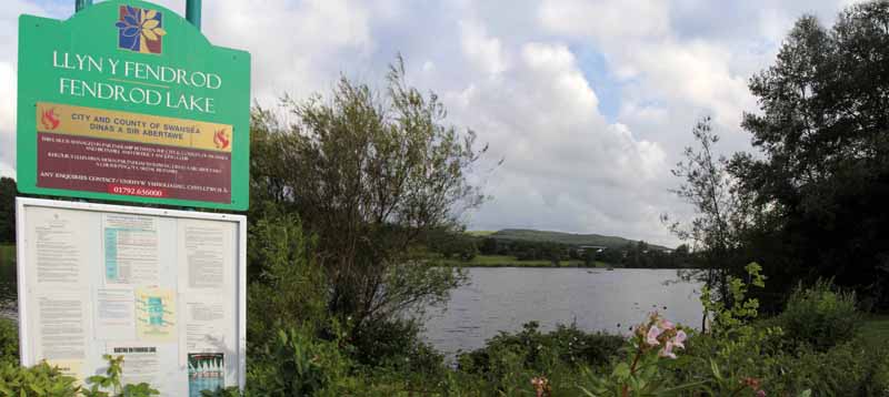
Ramblers Cymru Logo Image of Countryside
Swansea Ramblers Logo
at the heart of walking


Swansea Ramblers Walk


River Tawe and Enterprise Zone


Walk Start / Finish Location:
Fendrod Lakeside Car Park

Walk Distance: 1, 2 & 5 miles (45 minutes/1 hour/ 3 hours)

Walk Level: Easy

Parking: Fendrod Lakeside Car Park

Transport: Traveline - www.traveline.info   - or - Telephone 0871 200 22 33


Walk Description


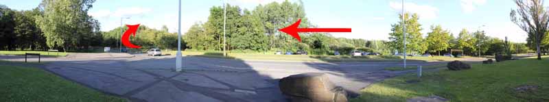
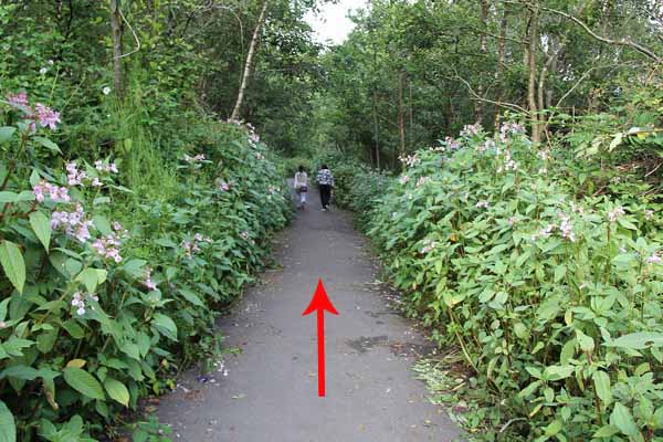
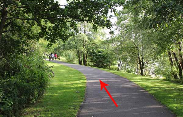
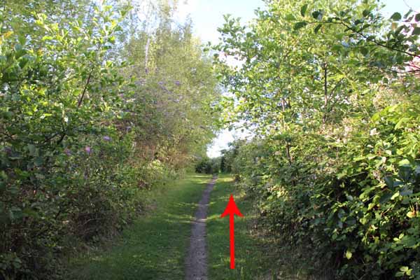
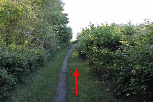
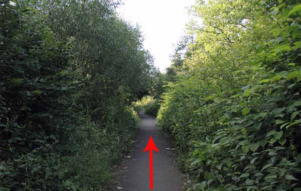
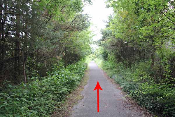
Head north from the lakeside car park in Valley Way and turn right into a tree-lined path.
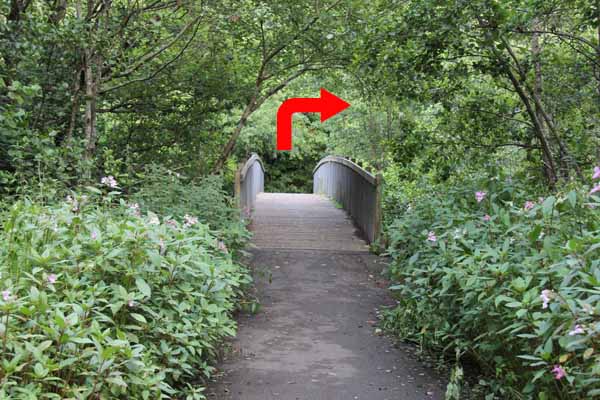
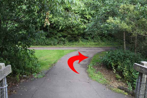
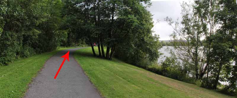
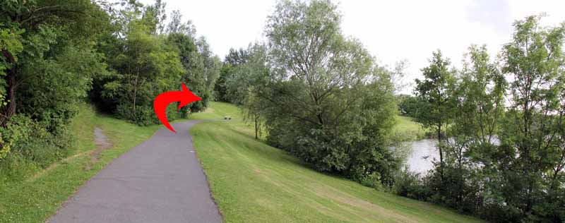
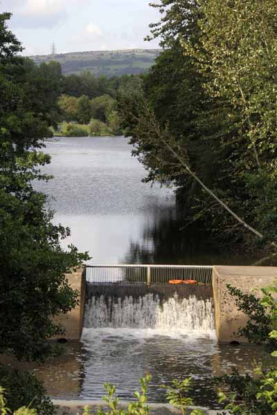
Turn right after crossing the bridge then bear right to follow the lakeside back to Valley Way.
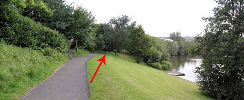
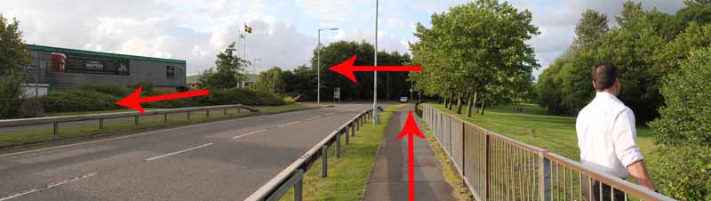
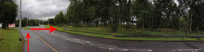
Turn right for one hundred yards.
(A path then goes right if you just want a one mile walk).
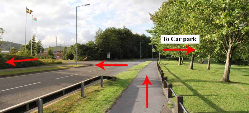
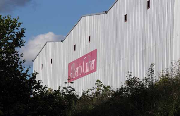
The longer walks cross the road and turn back towards the Thomas Watkins shop.
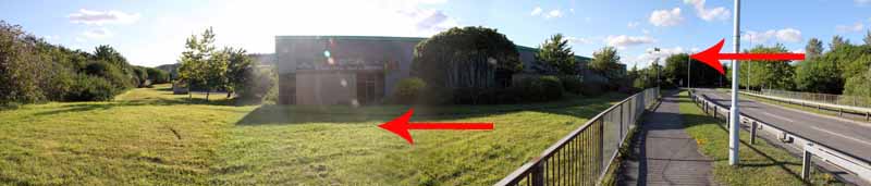
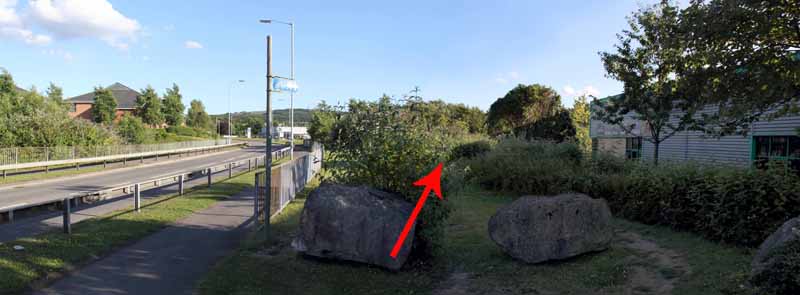
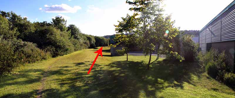
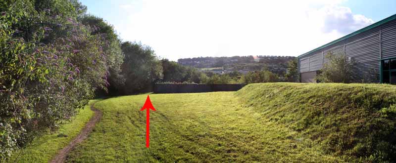
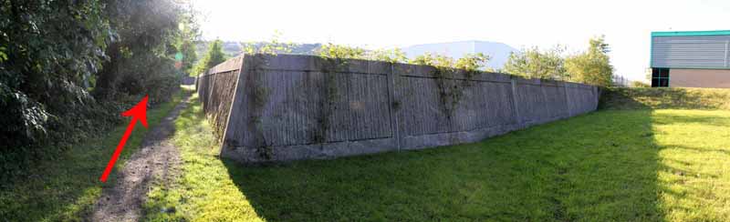
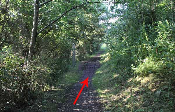
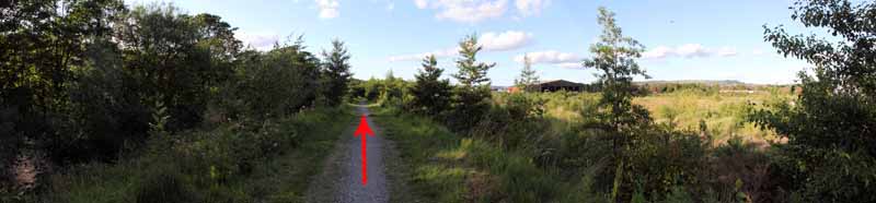
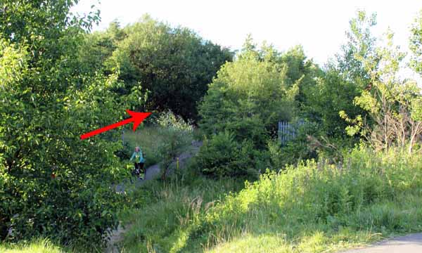
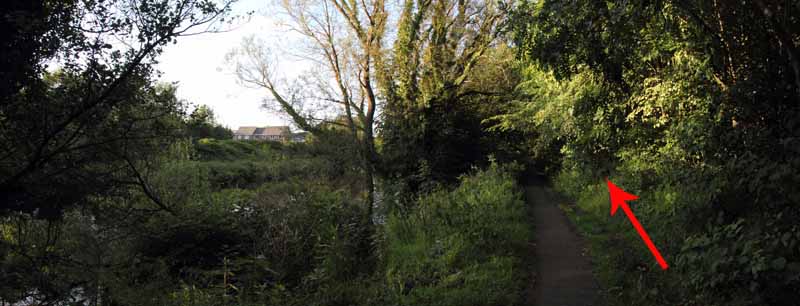
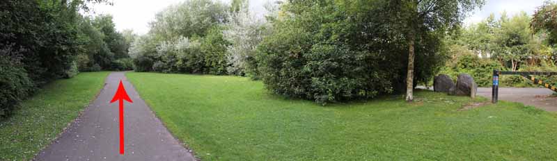
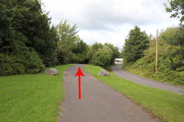
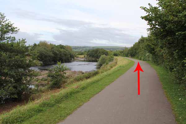
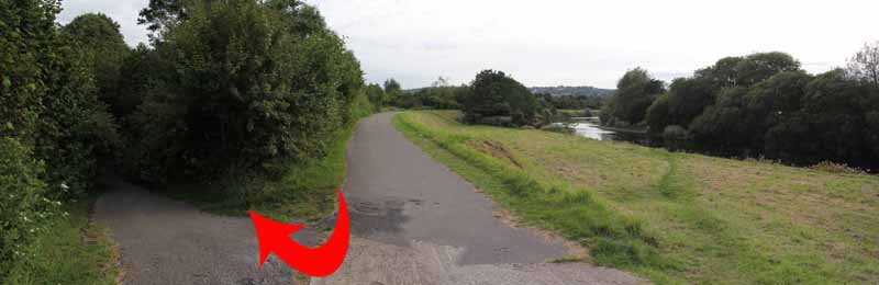
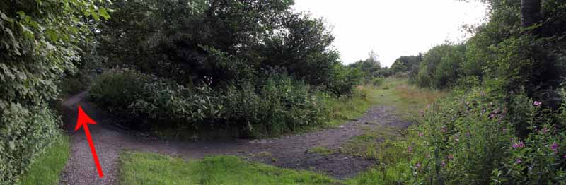
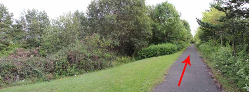
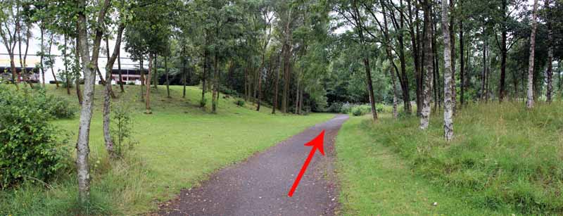
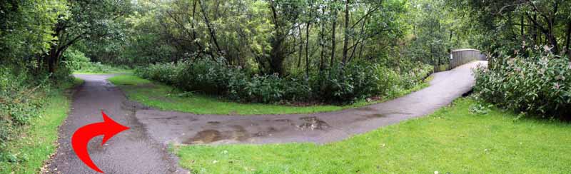
Pass by the boulders onto grassland and follow the path into woodland which runs parallel with the Tawe.
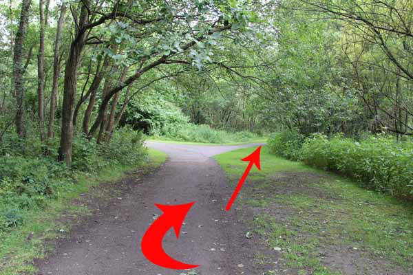
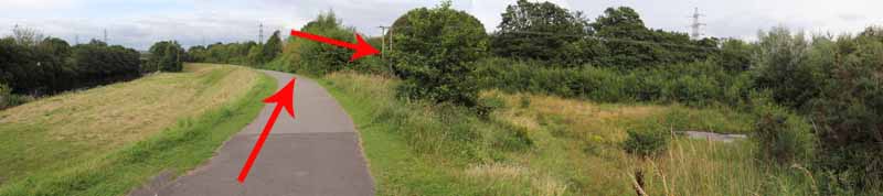
The two mile walk turns right at the next junction and returns to the car park.
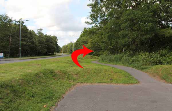
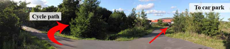
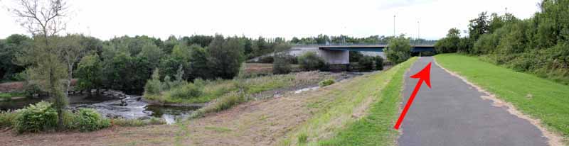
The five mile walk goes left then before the bridge turn right onto the cycle path.
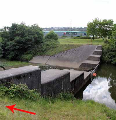
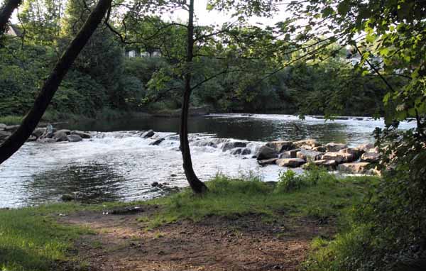
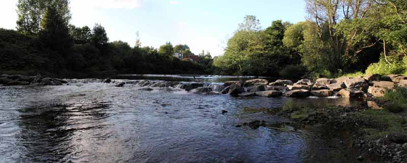
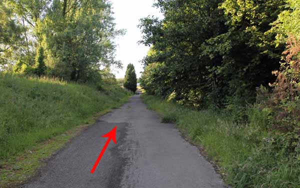
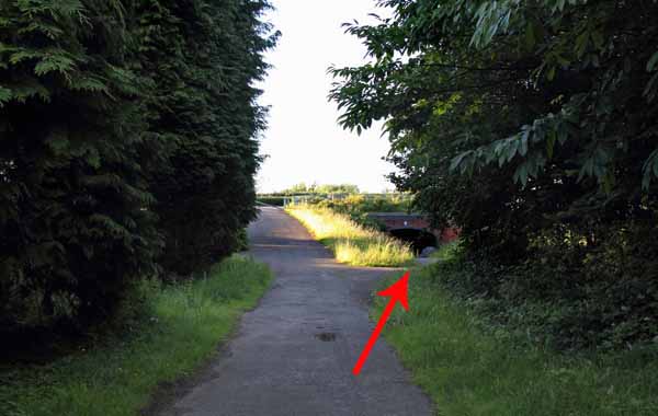
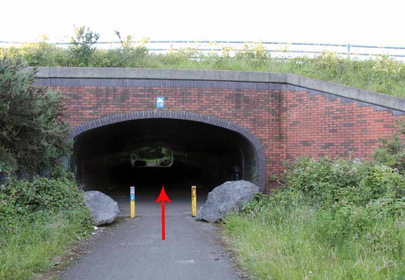
Pass another weir and continue to the A48 subway.
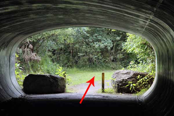
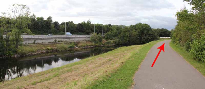
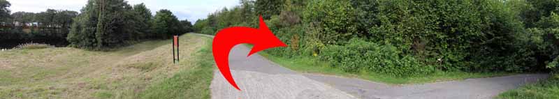
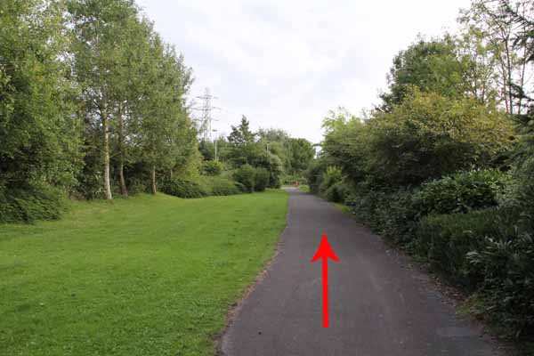
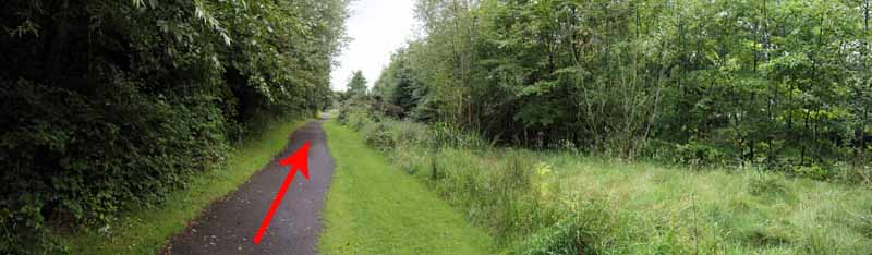
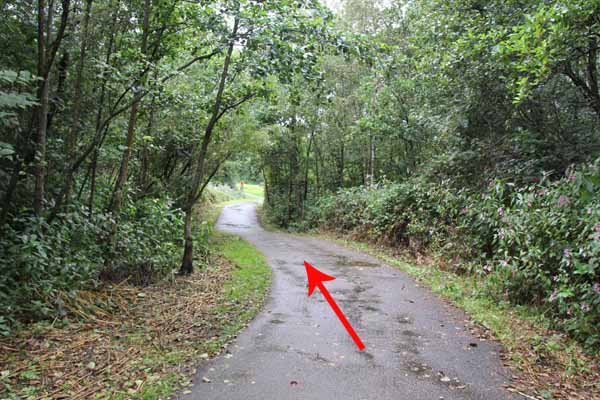
Follow the path, go under a bridge and continue some way and until a tarmacadam path descends right and narrows.
(If you reach the M4 Bridge you've gone too far!).
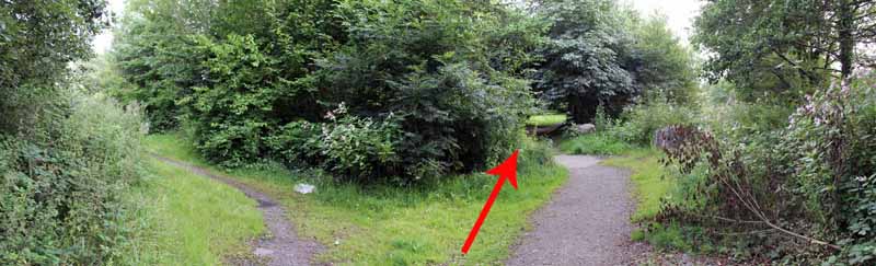
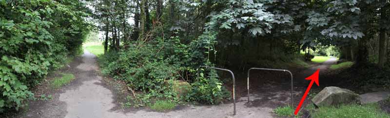
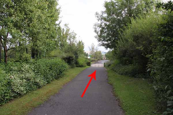
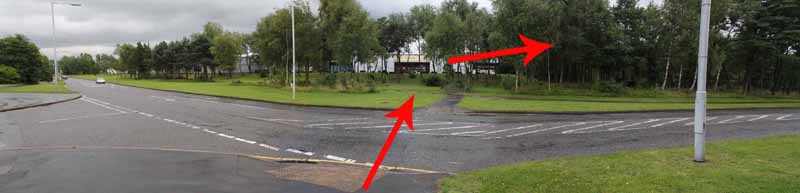
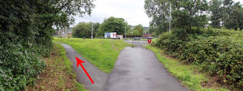
Go straight on; pass through barriers and cross Millstream Way, bearing right for the tarmacadam path.
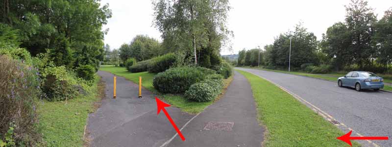
Go left to cross the Pericles Close and rejoin the path.
Bear right to cross Camffwrd Way and follow path to Clarion Close.
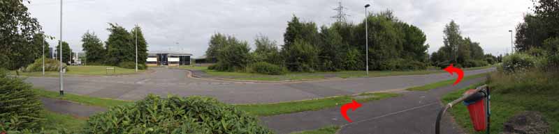
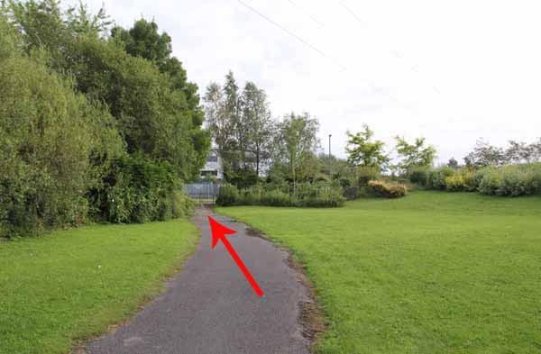
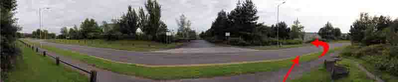
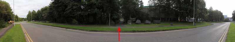
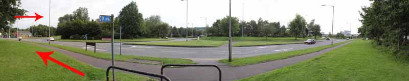
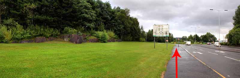
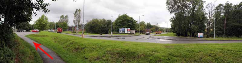
Go straight across and eventually emerge onto the A48 roundabout.
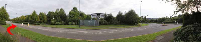
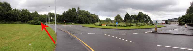
Turn left and cross to Valley Way.
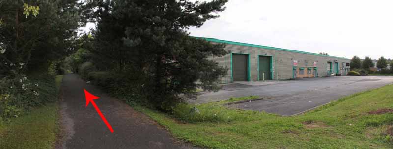
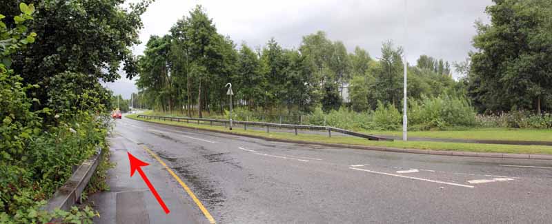
At the next roundabout turn left into the busy Fendrod Way.
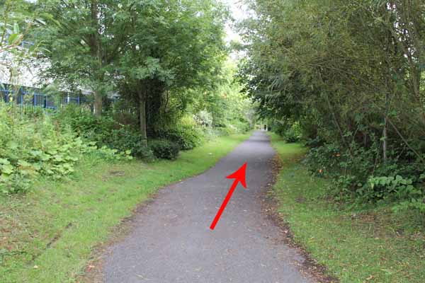
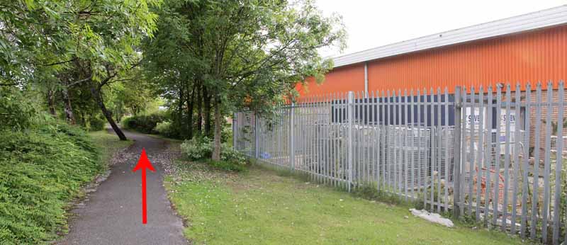
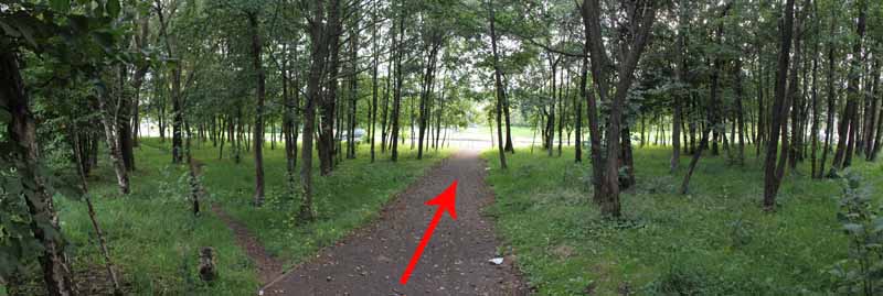
Cross with care at the crossing point and bear right into woodland that leads back to the first bridge you crossed.
Retrace your steps back to the car park.


Ramblers Cymru and Swansea Ramblers provide these routes but accept no responsibility for those walking them.

If you would like to go on a walk but would prefer to do so with a group of people then click on our Programme section to see what walks we are leading.

We have walks for varying levels of ability and you get the chance to see the countryside in places you might never go by yourself!


Maps of the Walk


Ordnance Survey map of the route to walk
Resizable and draggable
(Can be reset to original dimensions by refreshing the page)
Green Swansea Ramblers logo markers where present can be clicked to provide more information


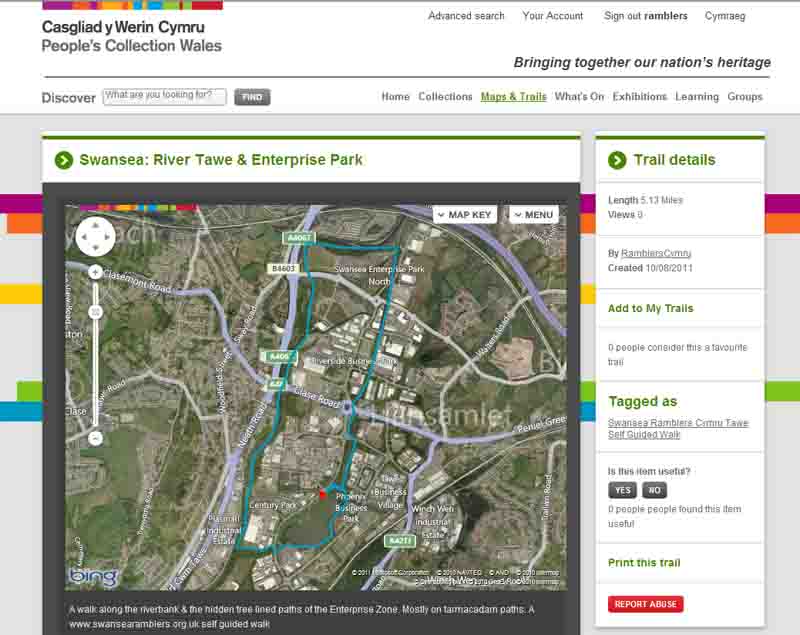
This aerial map is resizable and draggable
(Can be reset to original dimensions by refreshing the page)

A 25,000 Ordnance Survey map of the area
can be viewed by clicking on the above 'View Larger Map' option
(applies only if the above is a Bing map, not a Google map )


Peoples Collection link

The route of this walk has been added to The National Museum of Wales' Peoples Collection Web site.
A choice of aerial imagery or historic Ordnance Survey mapping is available.
Click the map to enter their web site (opens in a new browser window)
or copy and paste this link into a new browser window.
http://www.peoplescollectionwales.co.uk/trail/661


Photographs of the Walk


Photograph of Walking Route - Image 1


Photograph of Walking Route - Image 2
Head north from the car park and follow the tree lined path


Photograph of Walking Route - Image 3
Leave the main road to enter the tree lined path


Photograph of Walking Route - Image 4


Photograph of Walking Route - Image 5
Turn right after the bridge


Photograph of Walking Route - Image 6
Turn right after the bridge


Photograph of Walking Route - Image 7
Keep right on the lakeside path


Photograph of Walking Route - Image 8
Follow the lakeside to the weir


Photograph of Walking Route - Image 9


Photograph of Walking Route - Image 10


Photograph of Walking Route - Image 11


Photograph of Walking Route - Image 12


Photograph of Walking Route - Image 13


Photograph of Walking Route - Image 14
Turn right on the pavement for a hundred yards


Photograph of Walking Route - Image 15


Photograph of Walking Route - Image 16
The longer walks cross the road


Photograph of Walking Route - Image 17
The one mile walk turns right to follow the lakeside to the car park


Photograph of Walking Route - Image 18
After crossing the road go past the Thomas Watkins Brewery shop


Photograph of Walking Route - Image 19
Brewery shop on right


Photograph of Walking Route - Image 20
Follow grassy path to the far end of the open grassland


Photograph of Walking Route - Image 21


Photograph of Walking Route - Image 22
Path can get a little muddy


Photograph of Walking Route - Image 23
Path follows the River Tawe but undergrowth hides the water


Photograph of Walking Route - Image 24
Path goes behind Alberto Culver


Photograph of Walking Route - Image 25


Photograph of Walking Route - Image 26


Photograph of Walking Route - Image 27
View opens out


Photograph of Walking Route - Image 28
See if you can spot this date


Photograph of Walking Route - Image 29
The two mile walk turns right and goes directly opposite the car park


Photograph of Walking Route - Image 30
The five mile walk follows the riverside Cycle Path 43


Photograph of Walking Route - Image 31
After a little while you can scramble down to the weir


Photograph of Walking Route - Image 32


Photograph of Walking Route - Image 33


Photograph of Walking Route - Image 34


Photograph of Walking Route - Image 35


Photograph of Walking Route - Image 36


Photograph of Walking Route - Image 37
The cycle path goes under the A48


Photograph of Walking Route - Image 38


Photograph of Walking Route - Image 39


Photograph of Walking Route - Image 40
Follow the cycle path for about a mile


Photograph of Walking Route - Image 41


Photograph of Walking Route - Image 42


Photograph of Walking Route - Image 43


Photograph of Walking Route - Image 44
Path is close to the river for a while


Photograph of Walking Route - Image 45


Photograph of Walking Route - Image 46


Photograph of Walking Route - Image 47
Watch for the tarmacadam turning right


Photograph of Walking Route - Image 48
If you reach the railway and M4 bridges then you've gone too far


Photograph of Walking Route - Image 49


Photograph of Walking Route - Image 50


Photograph of Walking Route - Image 51


Photograph of Walking Route - Image 52


Photograph of Walking Route - Image 53


Photograph of Walking Route - Image 54
Remember these panoramas have some distortion - These are straight roads!


Photograph of Walking Route - Image 55
There will be a few roads to cross


Photograph of Walking Route - Image 56


Photograph of Walking Route - Image 57
This can be a busy road


Photograph of Walking Route - Image 58


Photograph of Walking Route - Image 59


Photograph of Walking Route - Image 60


Photograph of Walking Route - Image 61


Photograph of Walking Route - Image 62
Colourful flowers line the paths at different times of the year


Photograph of Walking Route - Image 63


Photograph of Walking Route - Image 64
Remember these panoramas have some distortion - These are straight roads!


Photograph of Walking Route - Image 65


Photograph of Walking Route - Image 66


Photograph of Walking Route - Image 67
Now approaching a VERY busy A48 roundabout !


Photograph of Walking Route - Image 68
Turn left and cross A48 to the Dry cleaners (opposite Maplins)


Photograph of Walking Route - Image 69
Follow Valley Way and turn left into Fendrod Way


Photograph of Walking Route - Image 70


Photograph of Walking Route - Image 71


Photograph of Walking Route - Image 72
Cross Fendrod Way at the crossing point and go right - into woodland


Photograph of Walking Route - Image 73


Photograph of Walking Route - Image 74


Photograph of Walking Route - Image 75


Photograph of Walking Route - Image 76
Eventually turn right over the bridge you used at the start


Photograph of Walking Route - Image 77


Photograph of Walking Route - Image 78


Photograph of Walking Route - Image 79
Turn left for the car park


More information about walking in Wales is available at:    www.ramblers.org.uk/wales

Ramblers Cymru and Swansea Ramblers provide this route but accept no responsibility for those walking it

All photographs Copyright 2012 Andrew Morgan. All rights reserved


Swansea Ramblers hope you enjoy doing this walk.

Over time things can change on the walk

- for example - path diversions, new gates instead of stiles or maybe the path has become blocked.

If you do find anything different on the way then let us know:

1. Which walk you have been on.

2. The type and location of the change or the problem you have experienced.


Of course you may just like to tell us that you have done the walk and whether you enjoyed it.

Use the link below to email us about your walk.

We'll look forward to hearing from you.


If the email link is not displayed above or is not supported by your email setup, manually type in our email address
address


Back to top

Our use of Cookies

Our Privacy Policy


Valid HTML 4.01 Transitional