Walk Description
This walk is on mostly flat good surfaces with some gentle inclines.
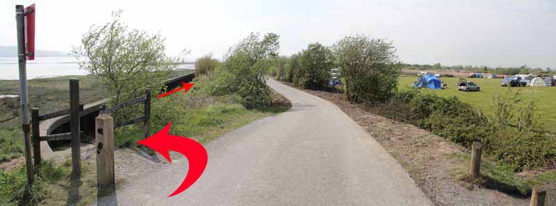
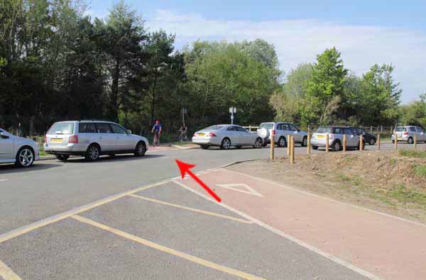
Leave the car park on the path behind the Pay and Display board.
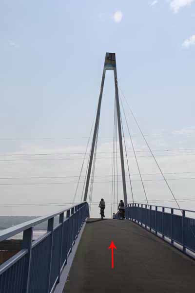
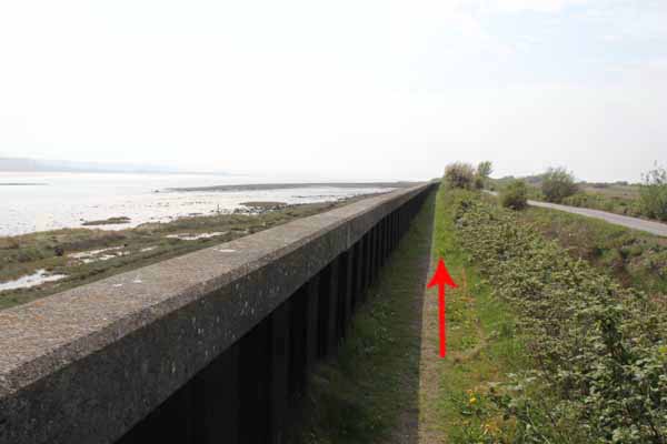
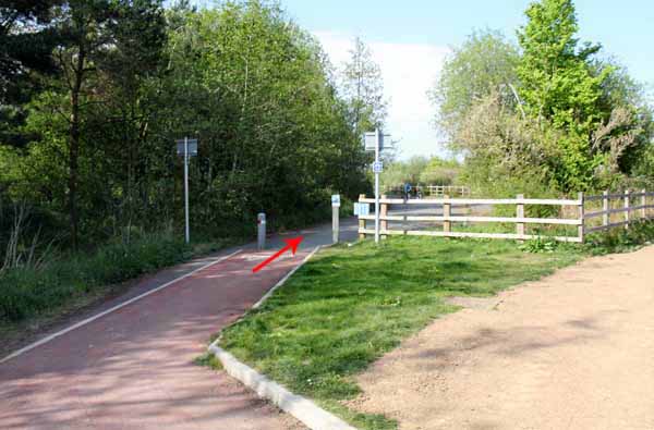
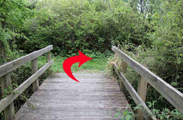
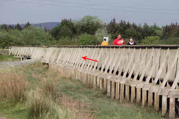
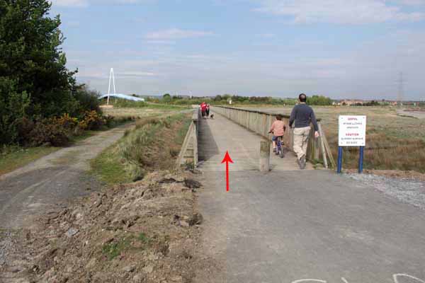
Turn left and go over the suspension bridge onto the coast path.
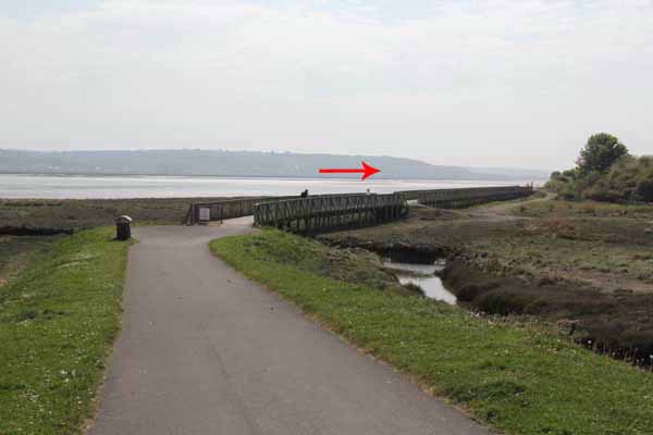
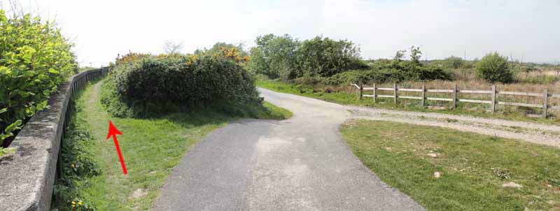
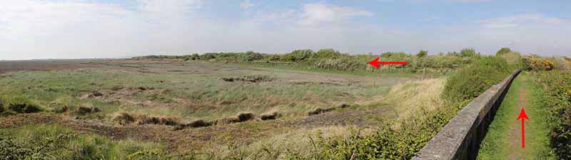
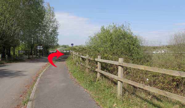
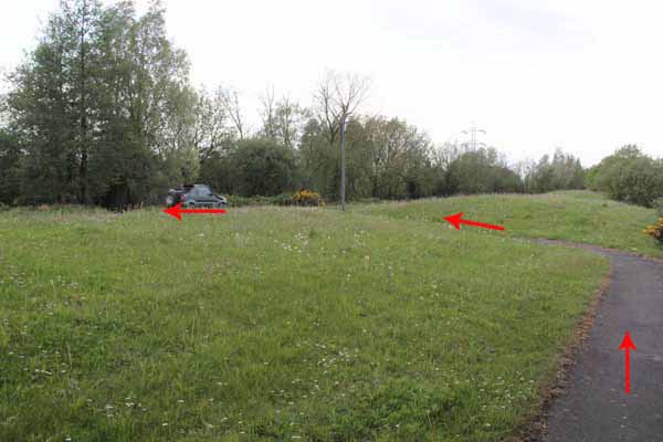
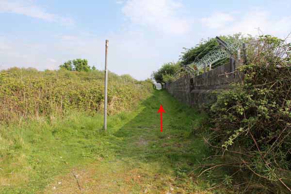
Opposite the caravan park entrance take the left footpath next to the sea wall.
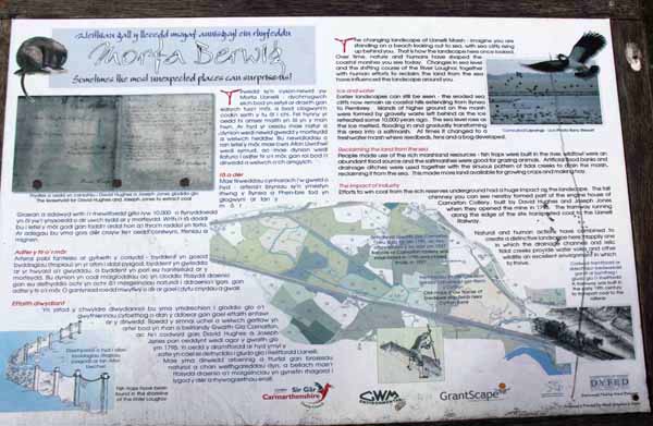
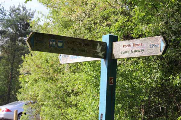
Eventually these two paths rejoin and go to Penclacwydd Wetlands which you could visit before returning.
The next stage involves crossing a busy road and railway so if you prefer, you have the option of retracing your steps.
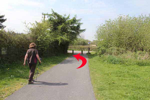
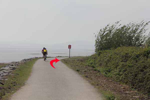
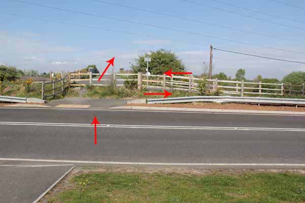
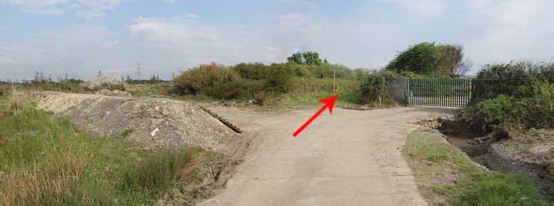
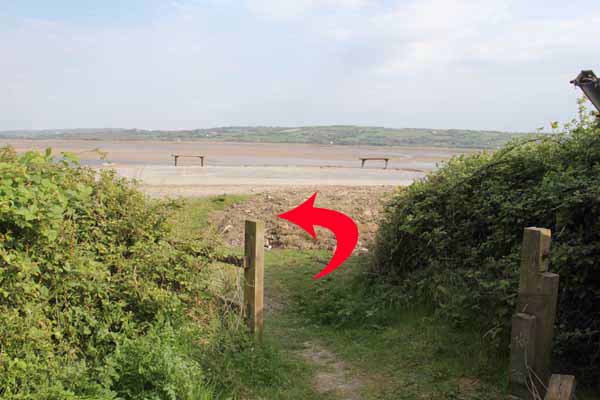
Follow the cycle path sign in front of the wetlands entrance for a few yards
then go straight across the road to join the end of the disused road.
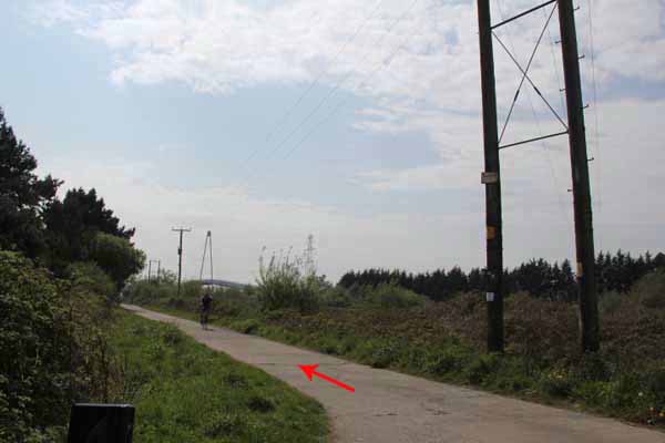
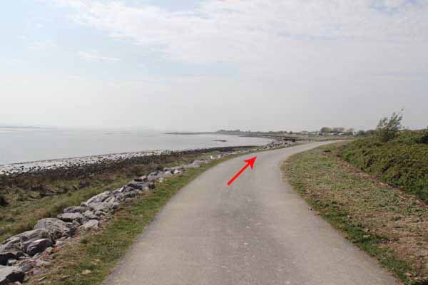
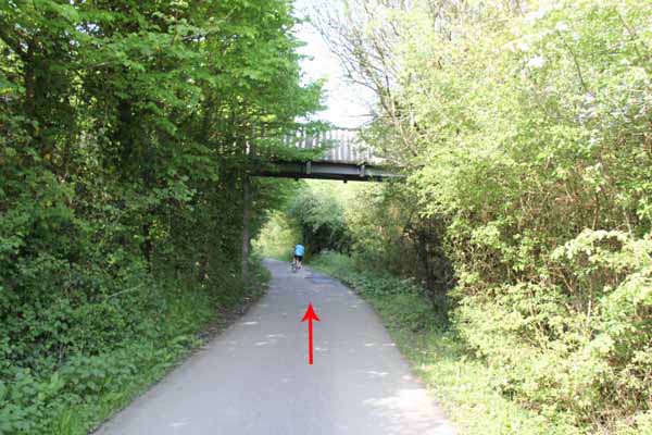
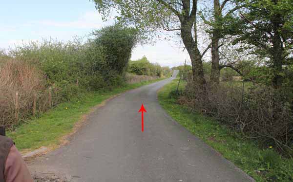
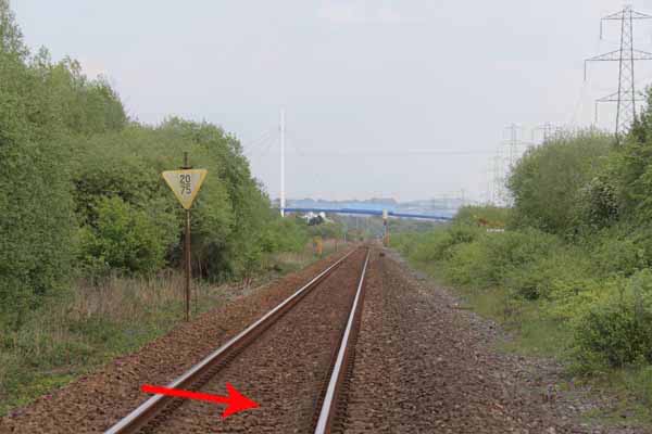
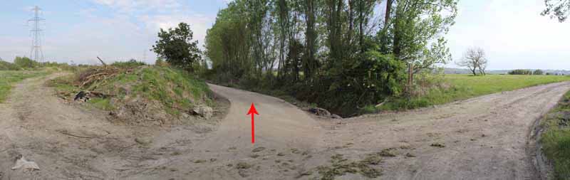
This quiet road meets a railway bridge but continue straight on watching for traffic until you reach the busy B4304.
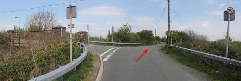
Turn left along the broad grass verge.
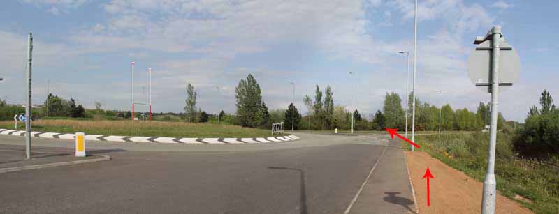
Just before the A484 roundabout cross over the B4304 and follow the path to the A484 crossing point on the far side of the roundabout.
There is a footpath on the opposite side of the roundabout that descends to a gate but take great care of the busy traffic on the A484.
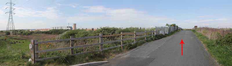
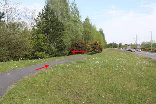
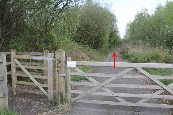
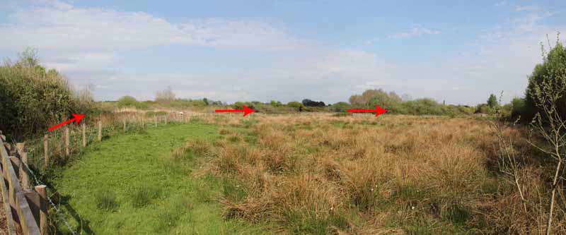
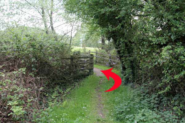
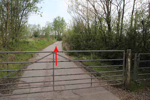
Turn right through the gate along a tarmacadam lane that leads to the Berwig Nature Reserve.
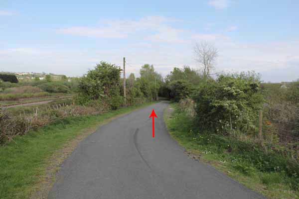
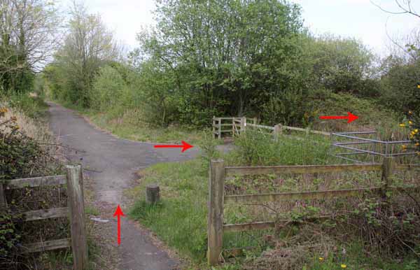
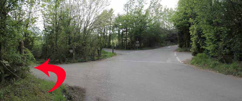
Continue on the path through the reserve to a wooded T junction.
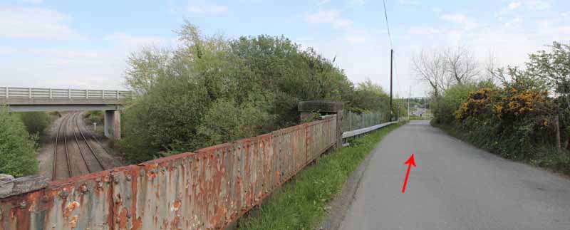
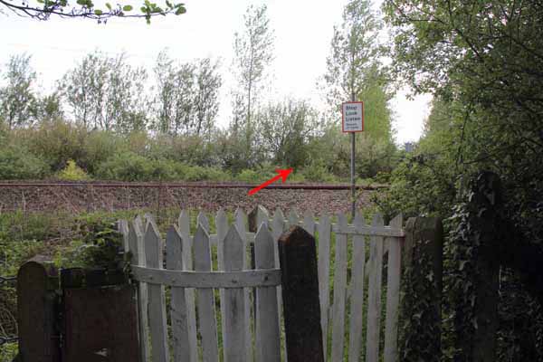
Turn right and go straight across the A484 to the railway crossing. Take care crossing the line.
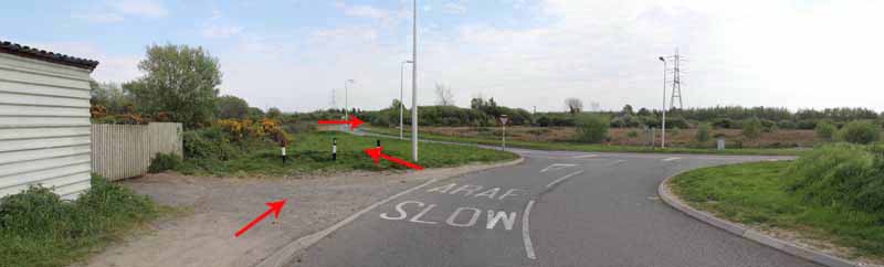
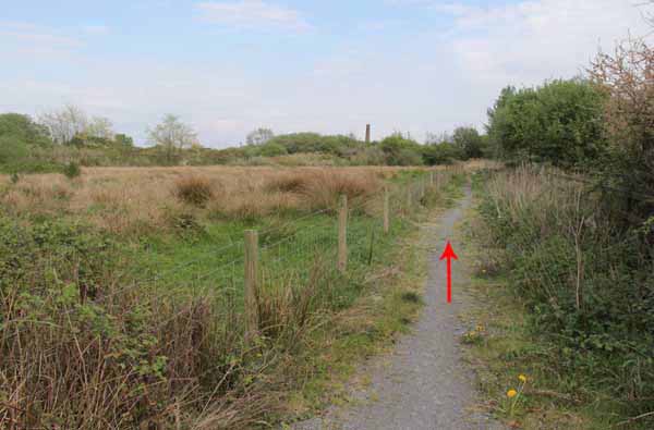
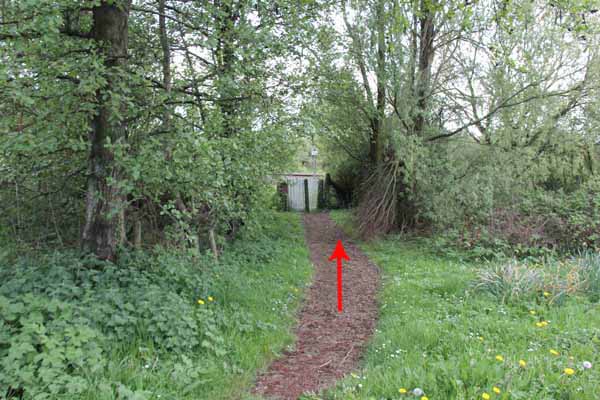
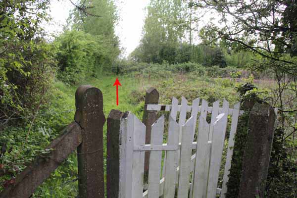
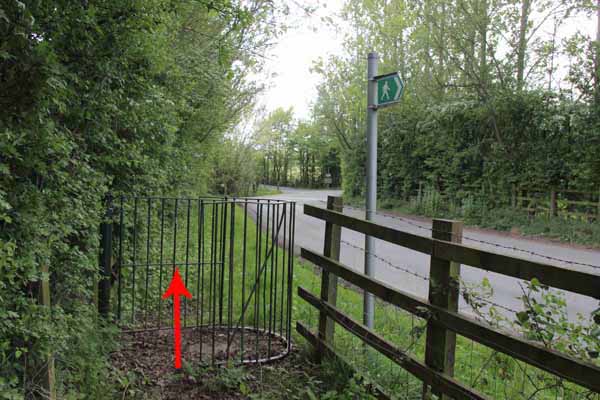
On the other side follow the road towards the caravan site entrance but at the footpath sign turn left along a quiet lane that leads to the foreshore.
Turn left and retrace route back over the bridge to the car park.
Ramblers Cymru and Swansea Ramblers provide these routes but accept no responsibility for those walking them.
If you would like to go on a walk but would prefer to do so with a group of people then click on our Programme section to see what walks we are leading.
We have walks for varying levels of ability and you get the chance to see the countryside in places you might never go by yourself!
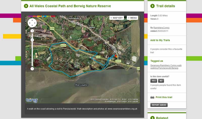
This aerial map is resizable and draggable
(Can be reset to original dimensions by refreshing the page)
A 25,000 Ordnance Survey map of the area
can be viewed by clicking on the above 'View Larger Map' option
(applies only if the above is a Bing map, not a Google map )