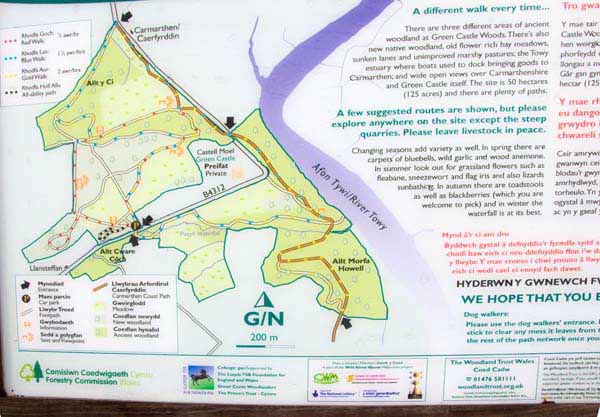
Walk Description
Take the path in the middle of the car park then bear right to a wooden gate.
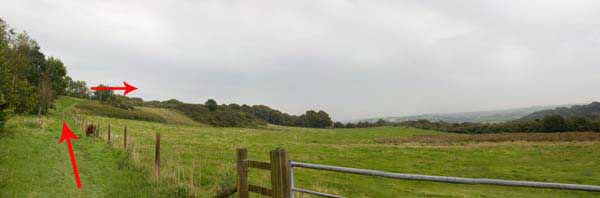
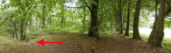
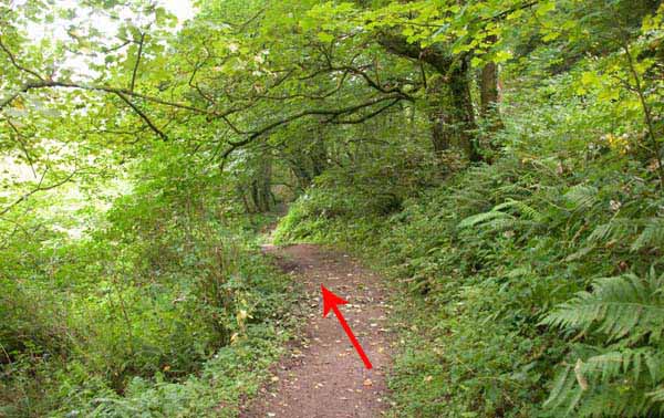
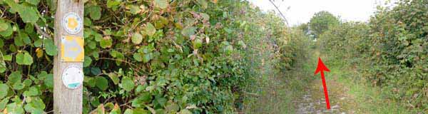
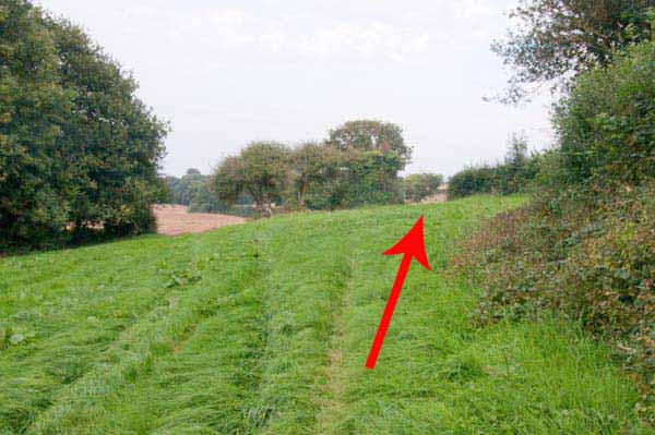
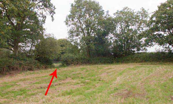
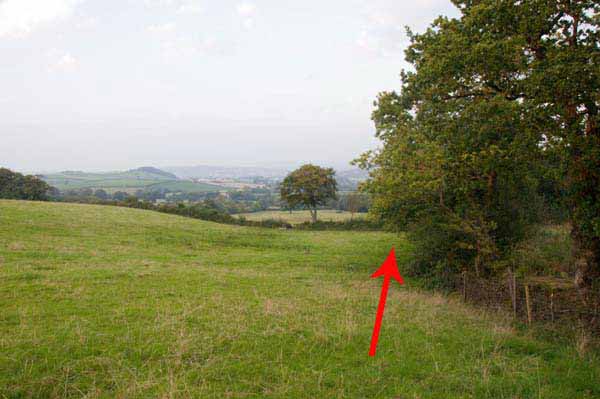
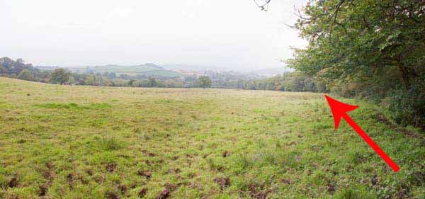
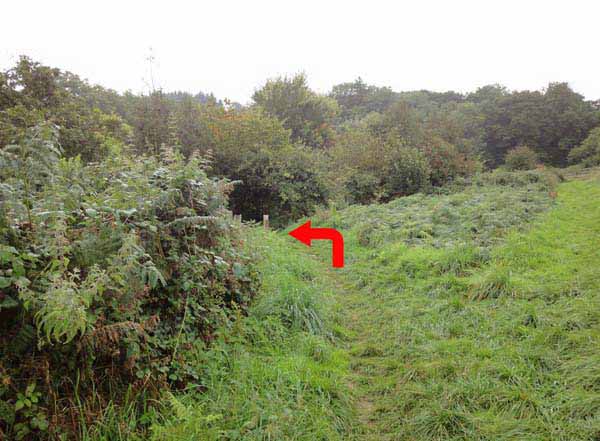
Turn left then bear right to the high ground.
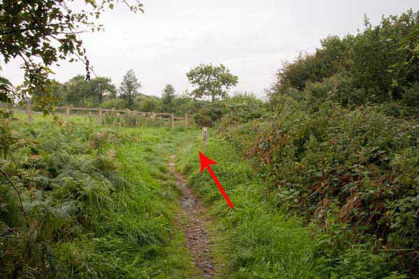
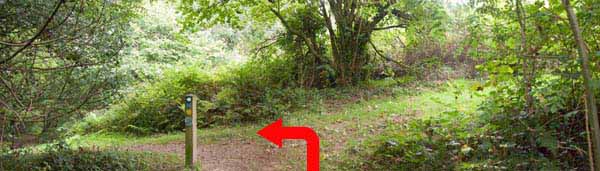
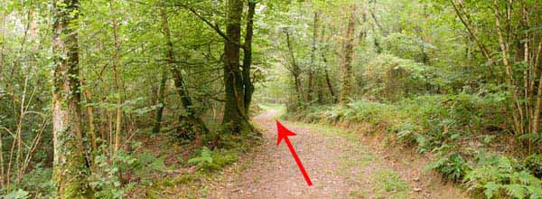
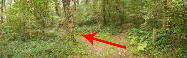
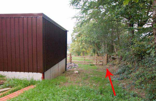
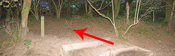
Enter the woodland and turn right then descend left at the post.
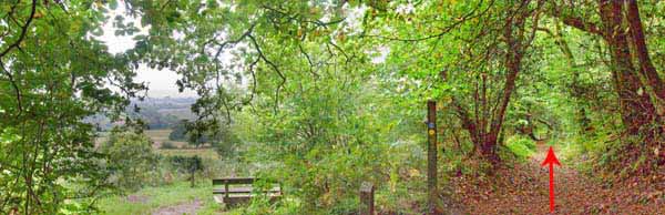
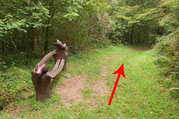
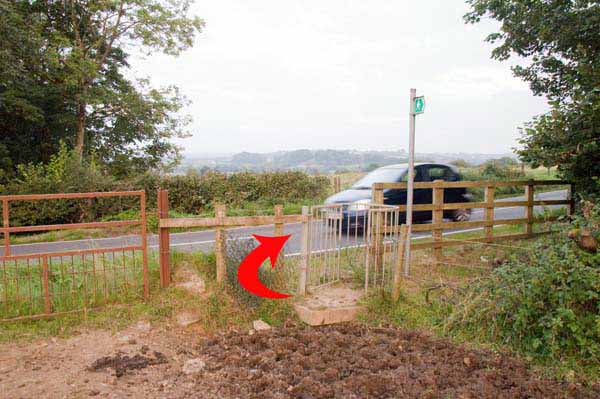
At the bottom go right, past a bench then cross the road after a quarry.
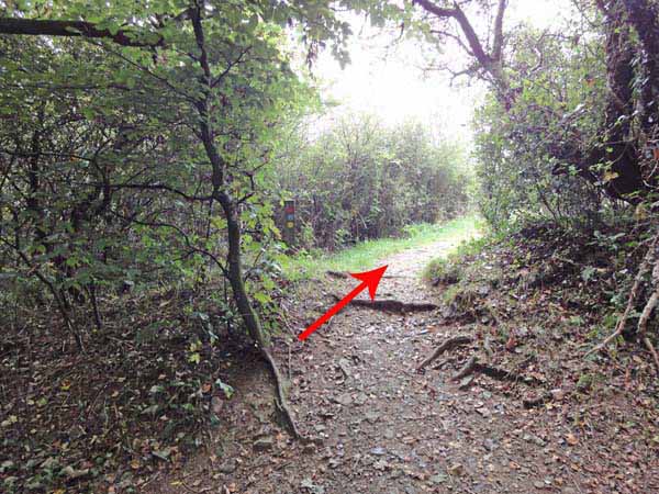
Turn right and follow the path to a junction.
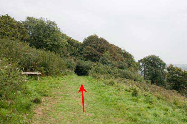
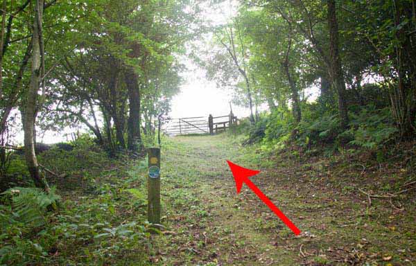
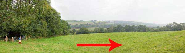
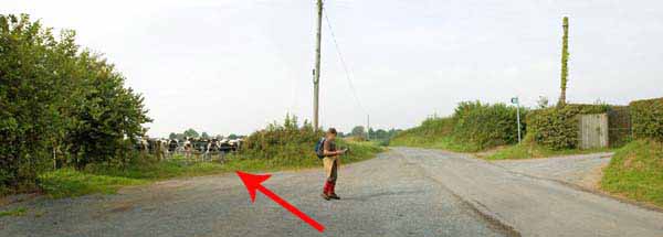
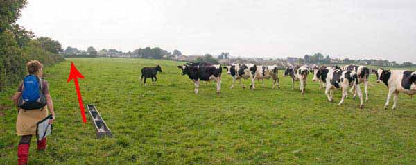
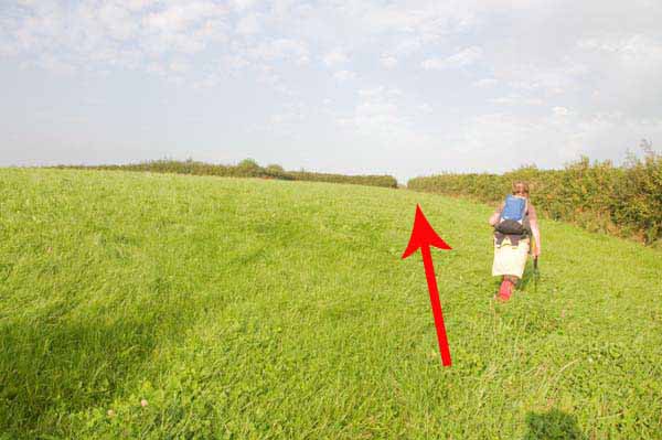
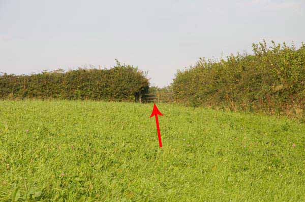
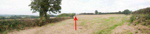
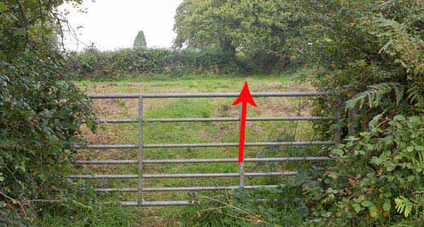
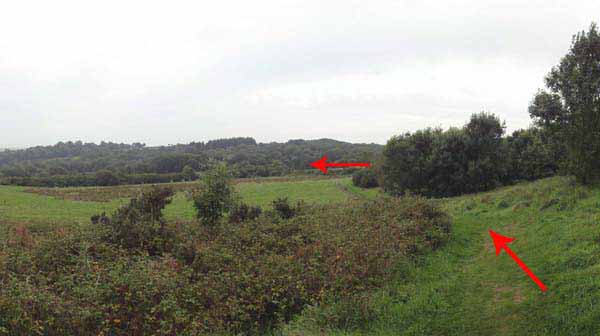
Turn left and continue on the same broad path to a stile into grassland. Ascend to post and stile.
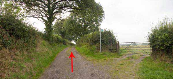
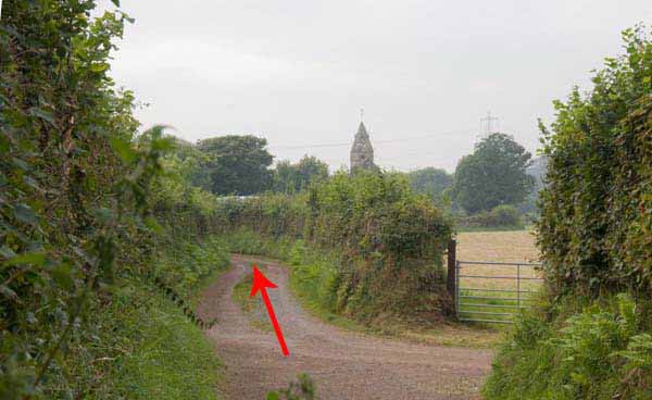
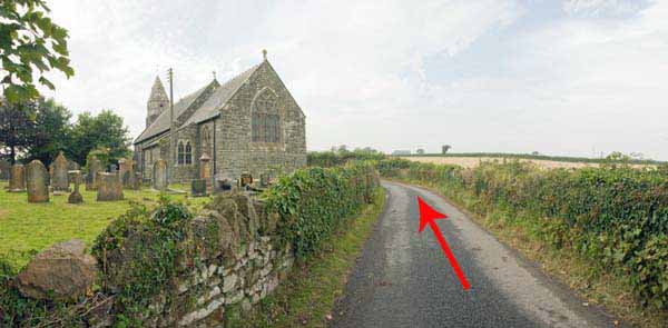
Follow the road to a junction then turn right and go past the church.
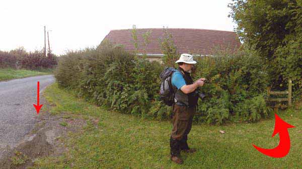
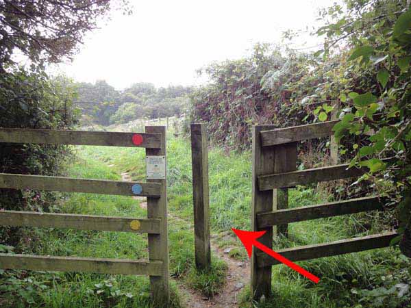
At the next junction turn right then after a few hundred yards turn left through a kissing gate to a corner stile.
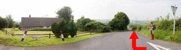
At the T-junction turn left.
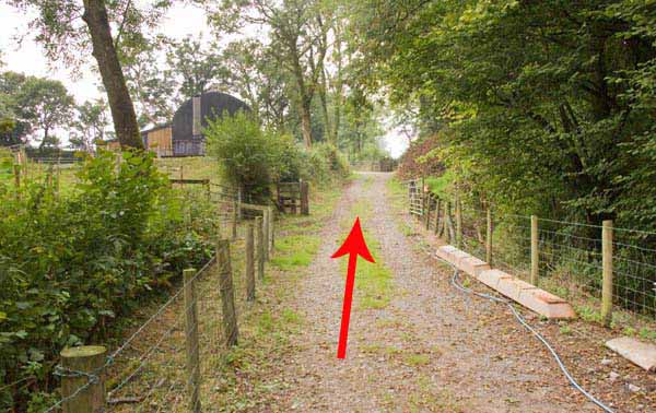
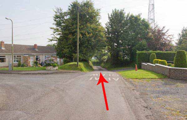
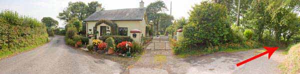
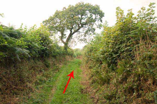
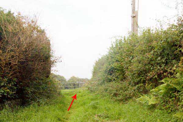
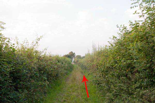
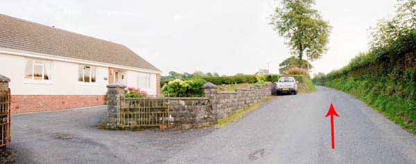
After half a mile of road walking turn right by a cottage into a green lane.
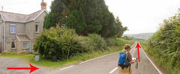
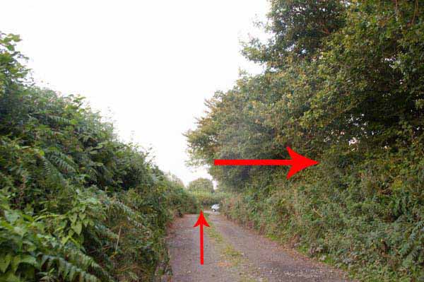
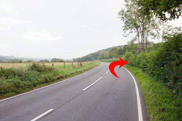
Turn left for half a mile on the busy B4312.
Turn right downhill.
Dylan Thomas' Fernhill is a short distance uphill.
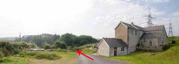
Retrace the route down to the tall farmhouse.
Turn left just after the house and go through the right hand gate.
Follow the path to a field and go through the far gate.
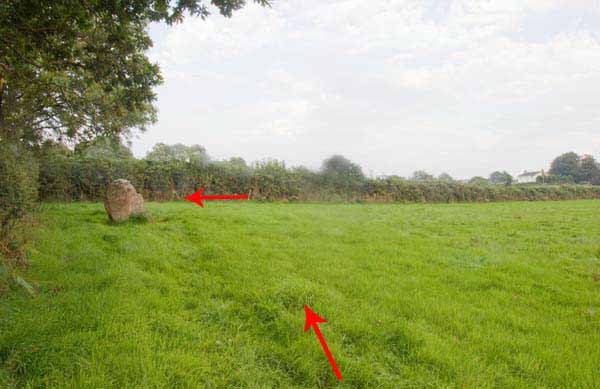
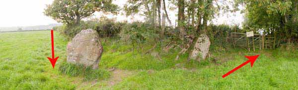
Follow the hedge to the standing stones (Myrddin's Quoit).
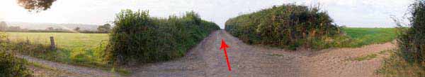
Turn left then at a farm track turn left.
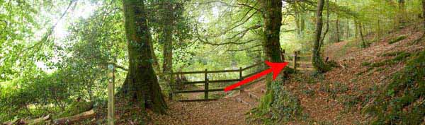
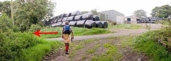
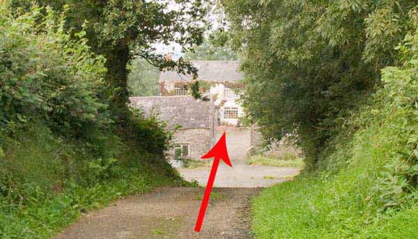
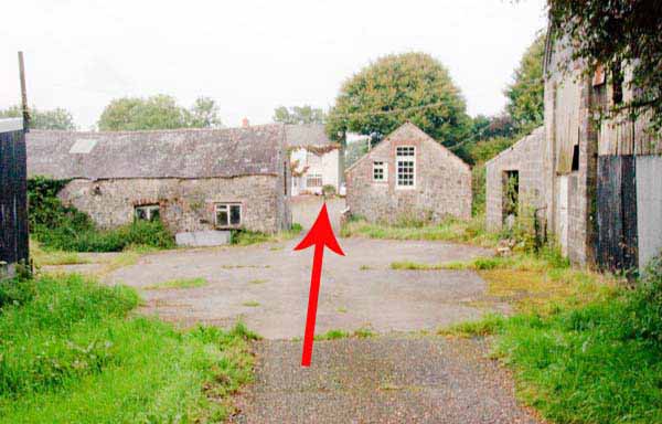
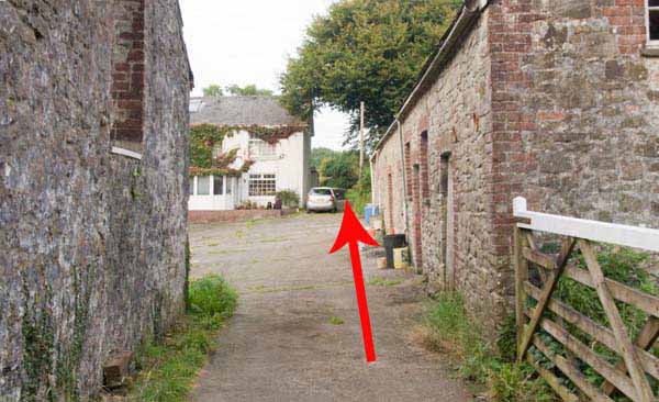
Cross the farmyard and go straight past the side of the house to a gate and stile.
Take the far right hand corner gate in the field.
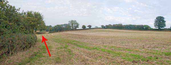
Go straight on by the hedge to another stile.
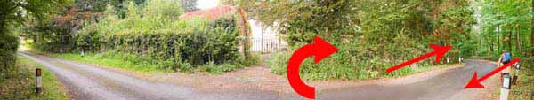
Go through a gate on the left near the wooded corner of the field.
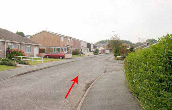
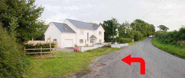
The path follows the lane to a road (Heol Smyrna). Turn right and pass some houses.
Before a white house, watch on the left for the stile.
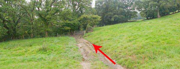
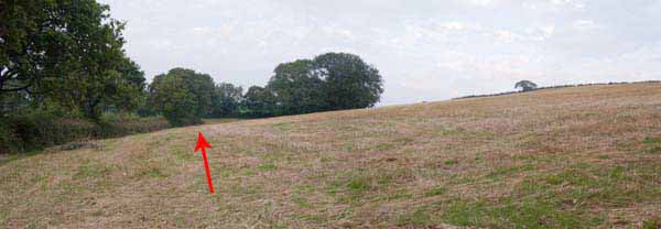
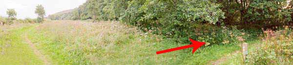
Descend down the muddy fields to the busy B4312.
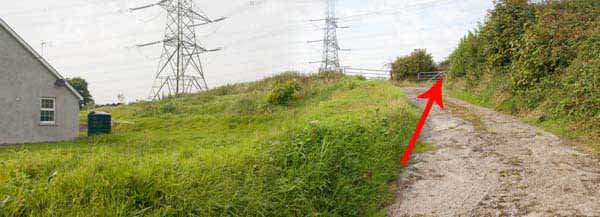
Turn right on the grass verge then after only 10 yards turn right off the road.
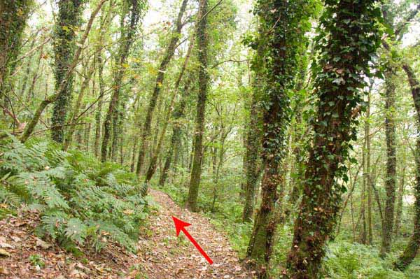
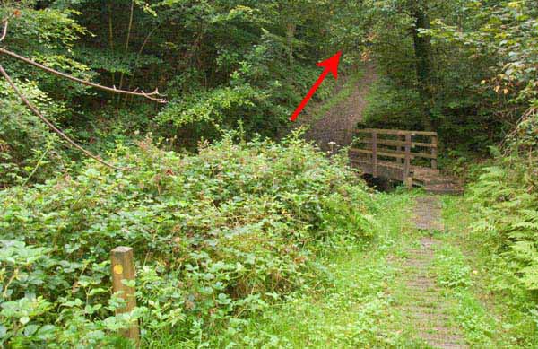
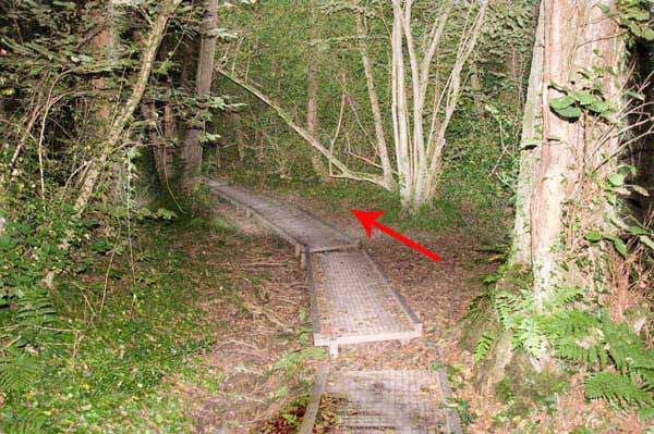
Re-enter the woods and follow the boardwalk uphill.
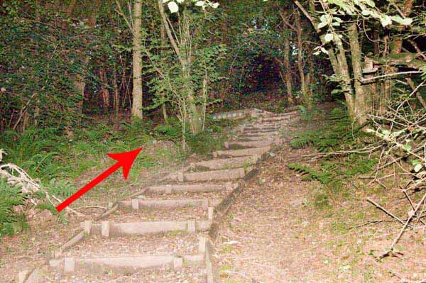
Follow the path above the meadow, bearing left to the car park.
Ramblers Cymru and Swansea Ramblers provide these routes but accept no responsibility for those walking them.
If you would like to go on a walk but would prefer to do so with a group of people then click on our Programme section to see what walks we are leading.
We have walks for varying levels of ability and you get the chance to see the countryside in places you might never go by yourself!
This aerial map is resizable and draggable
(Can be reset to original dimensions by refreshing the page)
A 25,000 Ordnance Survey map of the area
can be viewed by clicking on the above 'View Larger Map' option
(applies only if the above is a Bing map, not a Google map )