Ramblers Cymru Logo Image of Countryside
Swansea Ramblers Logo
at the heart of walking


Swansea Ramblers Walk


Laugharne and Dylan's Boat House


Walk Start / Finish Location:
Foreshore car park beneath castle

Walk Distance: 2.5-3 miles (2 hours)

Walk Level: Easy

Parking: Foreshore car park beneath castle (free)

Transport: Traveline - www.traveline.info   - or - Telephone 0871 200 22 33


Walk Description


This short walk follows easy paths, mostly on hard surfaces,
passing the boat house and returns inland along country lanes and meadows.
A visit to Dylan's grave can be made on route.

The first part of this route can be covered by incoming tides so check before you start.
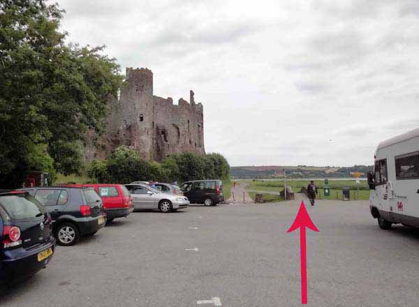
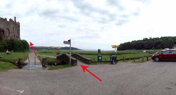
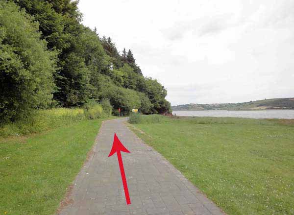
From the car park go over the hump back footbridge and follow the coast path beneath the castle.
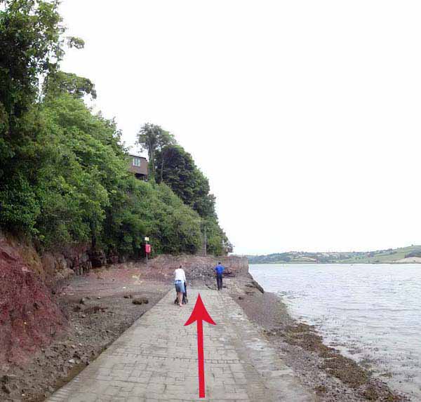
A number of links climb to the top path but subject to the tide, carry on to the last one and ascend steps to Dylan's writing shed.
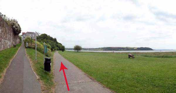
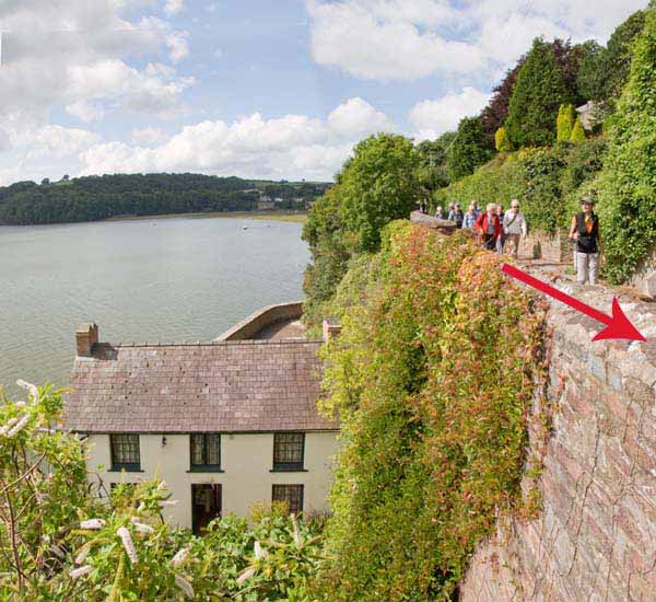
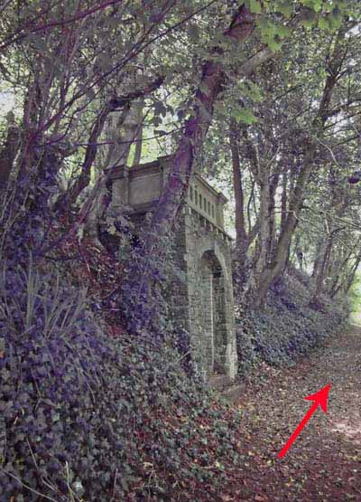
Turn right at the top and pass above the Boat House. Continue straight along into woodland.
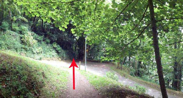
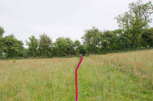
At a stile the path goes into grassland. Continue straight to a footbridge and pedestrian gate.
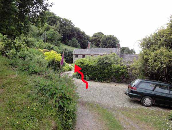
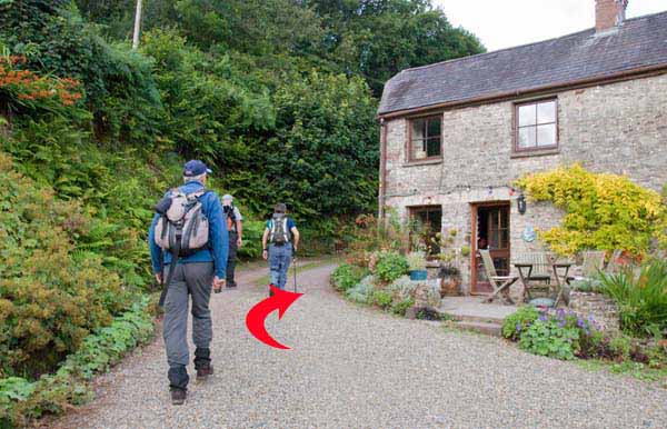
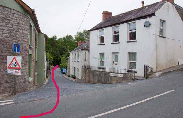
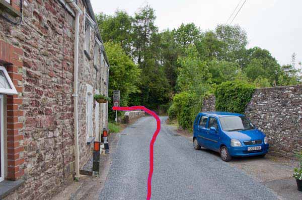
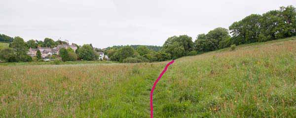
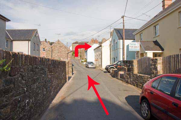
Go to the left side of the house and follow the lane.
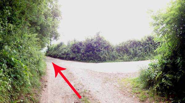
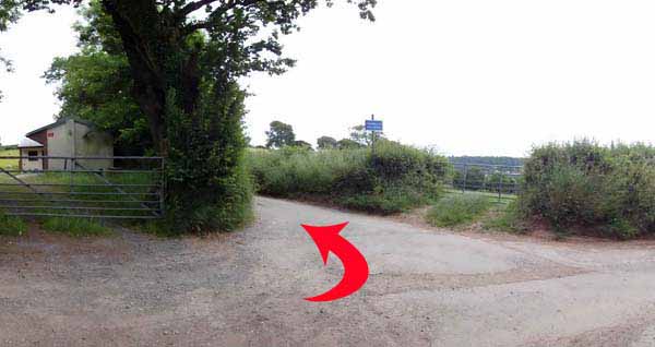
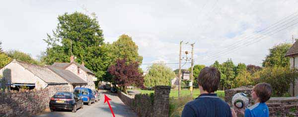
After about half a mile, ignore the tarmacadam right turn to Brixtarw.
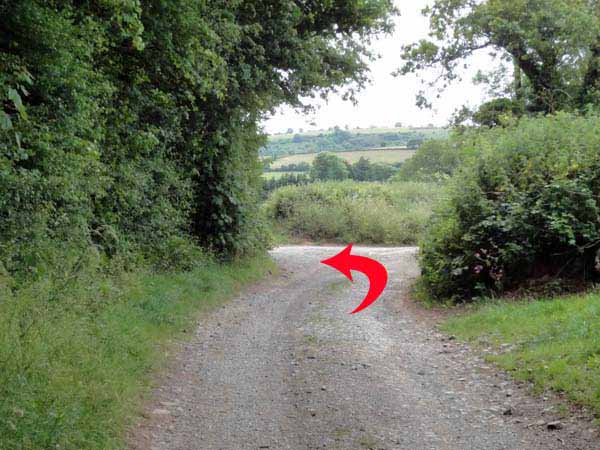
At the next junction turn left onto the road.
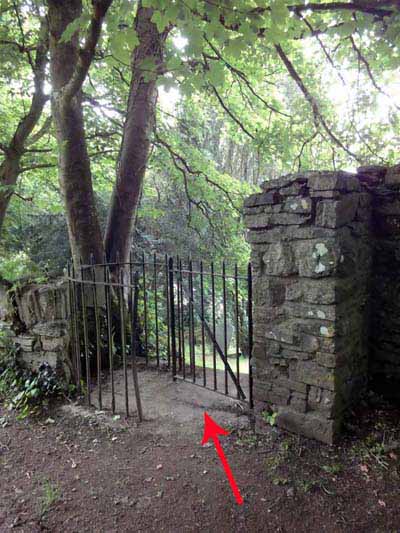
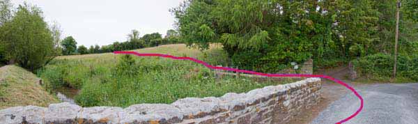
After half a mile go through an old metal kissing gate on the right into the back of the churchyard.
Walk around the church to a footbridge over the lane.
Go across and turn left to visit the grave then retrace your steps to the bridge.
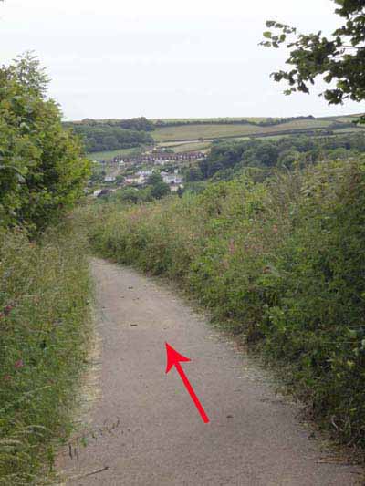
Head down to the main road and turn right.
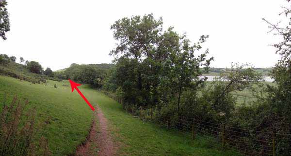
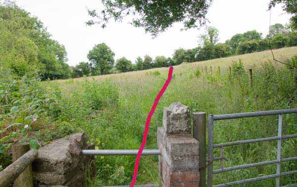
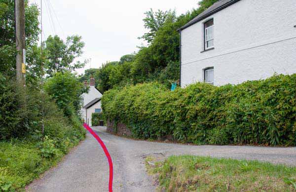
Turn left down the side road and at the stream turn left over the stile into the meadow.
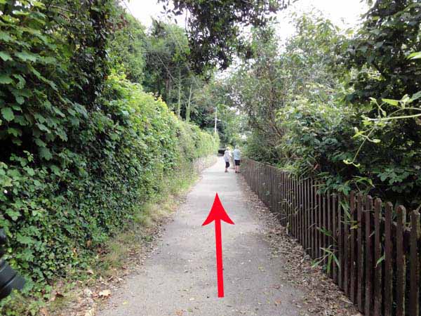
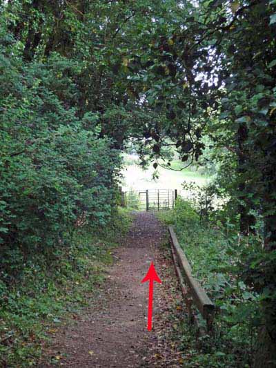
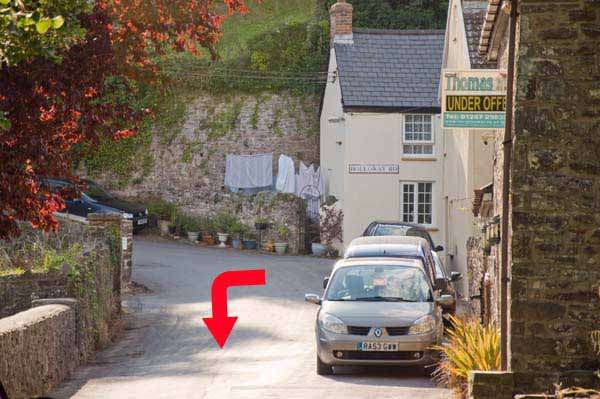
Cross another stile and head into the woodland. The path continues into Holloway Road, straight on past houses.
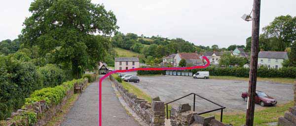
Turn left into Newbridge Road and walk past the playing field until the road joins the main road.
Turn right and follow this road back to the car park.


Ramblers Cymru and Swansea Ramblers provide these routes but accept no responsibility for those walking them.

If you would like to go on a walk but would prefer to do so with a group of people then click on our Programme section to see what walks we are leading.

We have walks for varying levels of ability and you get the chance to see the countryside in places you might never go by yourself!


Maps of the Walk


Ordnance Survey map of the route to walk
Resizable and draggable
(Can be reset to original dimensions by refreshing the page)
Green Swansea Ramblers logo markers where present can be clicked to provide more information


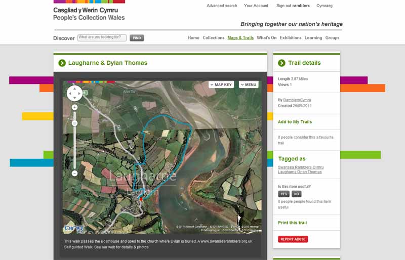
This aerial map is resizable and draggable
(Can be reset to original dimensions by refreshing the page)

A 25,000 Ordnance Survey map of the area
can be viewed by clicking on the above 'View Larger Map' option
(applies only if the above is a Bing map, not a Google map )


Peoples Collection link

The route of this walk has been added to The National Museum of Wales' Peoples Collection Web site.
A choice of aerial imagery or historic Ordnance Survey mapping is available.
Click the map to enter their web site (opens in a new browser window)
or copy and paste this link into a new browser window.
http://www.peoplescollectionwales.co.uk/Trail/772-laugharne-dylan-thomas


Photographs of the Walk


Photograph of Walking Route - Image 1


Photograph of Walking Route - Image 2


Photograph of Walking Route - Image 3


Photograph of Walking Route - Image 4


Photograph of Walking Route - Image 5


Photograph of Walking Route - Image 6


Photograph of Walking Route - Image 7


Photograph of Walking Route - Image 8


Photograph of Walking Route - Image 9


Photograph of Walking Route - Image 10


Photograph of Walking Route - Image 11


Photograph of Walking Route - Image 12


Photograph of Walking Route - Image 13


Photograph of Walking Route - Image 14


Photograph of Walking Route - Image 15


Photograph of Walking Route - Image 16


Photograph of Walking Route - Image 17


Photograph of Walking Route - Image 18


Photograph of Walking Route - Image 19
The gate into the church yard.
Dylan's grave is to the left and across the footbridge over the lane


Photograph of Walking Route - Image 20
The grave of Dylan Thomas


Photograph of Walking Route - Image 21


Photograph of Walking Route - Image 22


Photograph of Walking Route - Image 23


Photograph of Walking Route - Image 24


Photograph of Walking Route - Image 25


Photograph of Walking Route - Image 26


Photograph of Walking Route - Image 27


Photograph of Walking Route - Image 28


Photograph of Walking Route - Image 29


Photograph of Walking Route - Image 30


More information about walking in Wales is available at:    www.ramblers.org.uk/wales

Ramblers Cymru and Swansea Ramblers provide this route but accept no responsibility for those walking it

All photographs Copyright 2012 Andrew Morgan. All rights reserved


Swansea Ramblers hope you enjoy doing this walk.

Over time things can change on the walk

- for example - path diversions, new gates instead of stiles or maybe the path has become blocked.

If you do find anything different on the way then let us know:

1. Which walk you have been on.

2. The type and location of the change or the problem you have experienced.


Of course you may just like to tell us that you have done the walk and whether you enjoyed it.

Use the link below to email us about your walk.

We'll look forward to hearing from you.


If the email link is not displayed above or is not supported by your email setup, manually type in our email address
address


Back to top

Our use of Cookies

Our Privacy Policy


Valid HTML 4.01 Transitional