Ramblers Cymru Logo Image of Countryside
Swansea Ramblers Logo
at the heart of walking


Swansea Ramblers Walk


Pennard Castle


Walk Start / Finish Location:
National Trust Car Park in Southgate

Walk Distance: 3 miles (2 hours)

Walk Level: Moderate

Parking: National Trust Car Park (Charge)

Transport: Traveline - www.traveline.info   - or - Telephone 0871 200 22 33


Walk Description


This walk in Gower follows the cliffs at Southgate to views over Three Cliffs Bay
before continuing to Pennard Castle then past the water tower and back into Southgate.

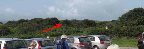
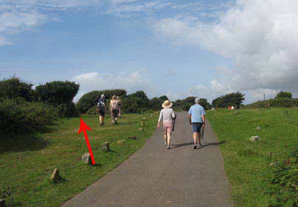
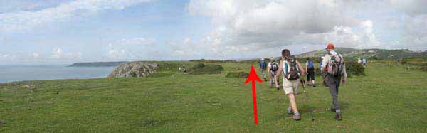
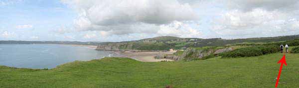
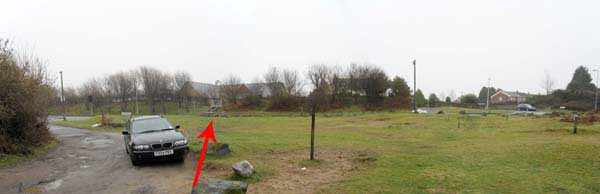
Head west from the car park along the cliffs to the viewpoint over Three Cliffs Bay.
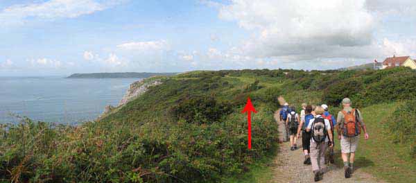
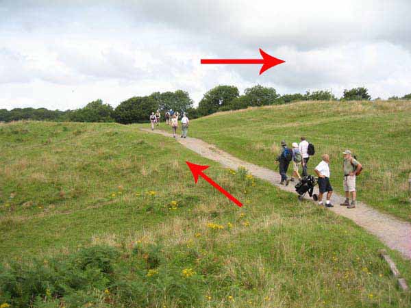
Continue west and the path begins to descend.
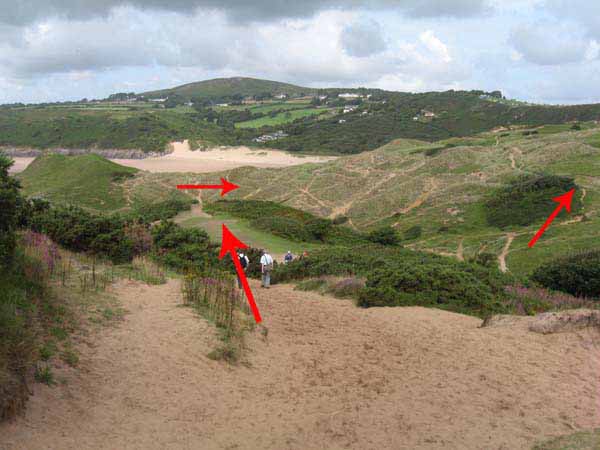
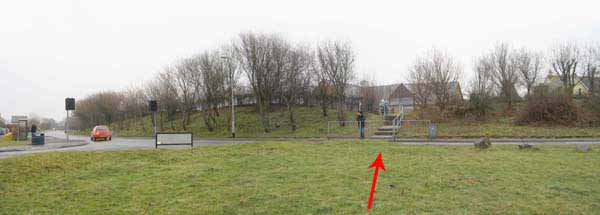
Turn right, down to the valley floor then immediately climb to the top of the other side on the wooden walkway.
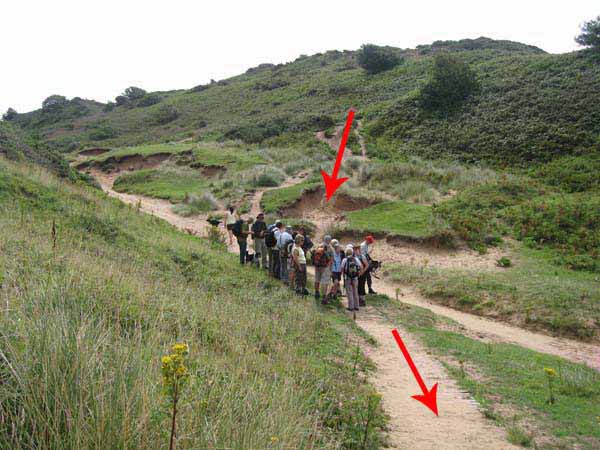
Follow this path through the dunes for more views over Three Cliffs Bay.
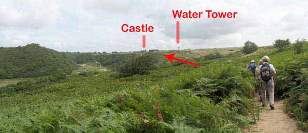
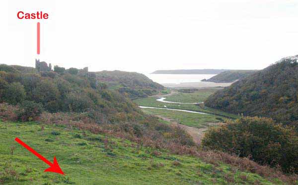
Continue along the walkway and look for the castle on the hill.
At the castle, stop to see the view then continue on the path to follow the golf course perimeter,
bearing right to pass the water tower on way to Sandy Lane.
Head for the corner of Linkside Drive and the main road.
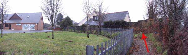
Cross over and go through the kissing gate at the edge of the school grounds.
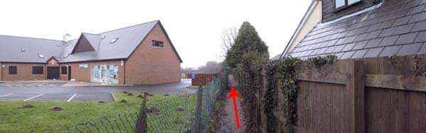
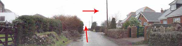
Follow this path at the side of the houses and turn left ignoring the kissing gate on the right.
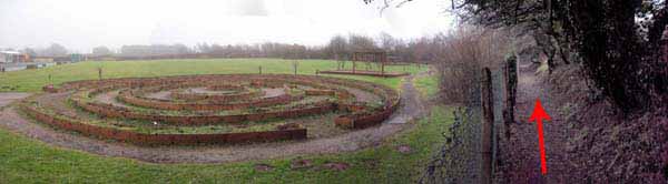
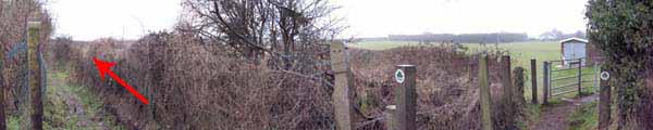
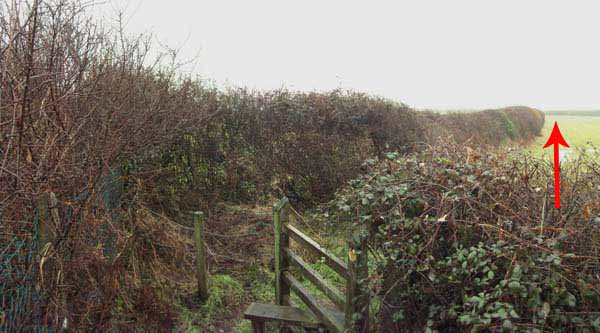
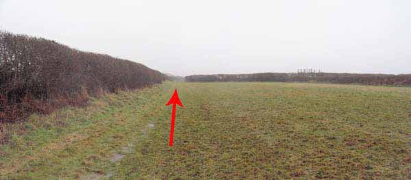
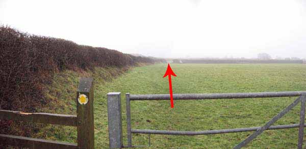
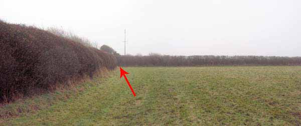
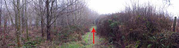
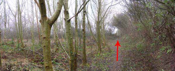
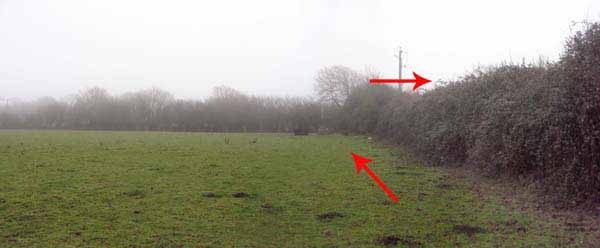
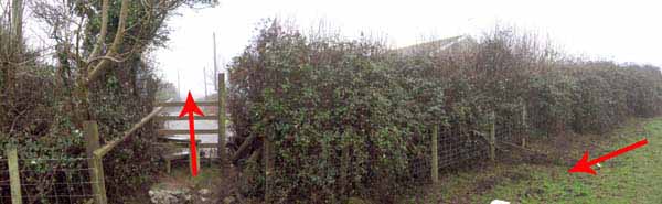
The path soon turns right and follows the hedgerow southward through three fields before entering woodland
and going past the water treatment plant to the end of Hael Lane.
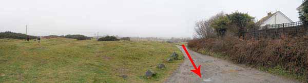
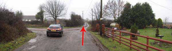
Continue straight along this lane, ignoring the left turn.
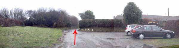
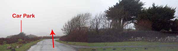
At the end of the lane head back to the car park.


Ramblers Cymru and Swansea Ramblers provide these routes but accept no responsibility for those walking them.

If you would like to go on a walk but would prefer to do so with a group of people then click on our Programme section to see what walks we are leading.

We have walks for varying levels of ability and you get the chance to see the countryside in places you might never go by yourself!


Maps of the Walk


Ordnance Survey map of the route to walk
Resizable and draggable
(Can be reset to original dimensions by refreshing the page)
Green Swansea Ramblers logo markers where present can be clicked to provide more information


This aerial map is resizable and draggable
(Can be reset to original dimensions by refreshing the page)

A 25,000 Ordnance Survey map of the area
can be viewed by clicking on the above 'View Larger Map' option
(applies only if the above is a Bing map, not a Google map )


Peoples Collection link

The route of this walk has been added to The National Museum of Wales' Peoples Collection Web site.
A choice of aerial imagery or historic Ordnance Survey mapping is available.
Click the map to enter their web site (opens in a new browser window)
or copy and paste this link into a new browser window.
http://www.peoplescollectionwales.co.uk/Trail/748-gower---pennard-castle-southgate-circular


Photographs of the Walk


Photograph of Walking Route - Image 1


Photograph of Walking Route - Image 2


Photograph of Walking Route - Image 3


Photograph of Walking Route - Image 4


Photograph of Walking Route - Image 5


Photograph of Walking Route - Image 6


Photograph of Walking Route - Image 7


Photograph of Walking Route - Image 8


Photograph of Walking Route - Image 9


Photograph of Walking Route - Image 10


Photograph of Walking Route - Image 11


Photograph of Walking Route - Image 12


Photograph of Walking Route - Image 13


Photograph of Walking Route - Image 14


Photograph of Walking Route - Image 15


Photograph of Walking Route - Image 16


Photograph of Walking Route - Image 17


Photograph of Walking Route - Image 18


Photograph of Walking Route - Image 19


Photograph of Walking Route - Image 20


Photograph of Walking Route - Image 21


Photograph of Walking Route - Image 22


Photograph of Walking Route - Image 23


Photograph of Walking Route - Image 24


Photograph of Walking Route - Image 25


Photograph of Walking Route - Image 26


Photograph of Walking Route - Image 27


Photograph of Walking Route - Image 28


Photograph of Walking Route - Image 29


Photograph of Walking Route - Image 30


More information about walking in Wales is available at:    www.ramblers.org.uk/wales

Ramblers Cymru and Swansea Ramblers provide this route but accept no responsibility for those walking it

All photographs Copyright 2012 Andrew Morgan. All rights reserved


Swansea Ramblers hope you enjoy doing this walk.

Over time things can change on the walk

- for example - path diversions, new gates instead of stiles or maybe the path has become blocked.

If you do find anything different on the way then let us know:

1. Which walk you have been on.

2. The type and location of the change or the problem you have experienced.


Of course you may just like to tell us that you have done the walk and whether you enjoyed it.

Use the link below to email us about your walk.

We'll look forward to hearing from you.


If the email link is not displayed above or is not supported by your email setup, manually type in our email address
address


Back to top

Our use of Cookies

Our Privacy Policy


Valid HTML 4.01 Transitional