Walk Description
Head for the coast path and walk west.
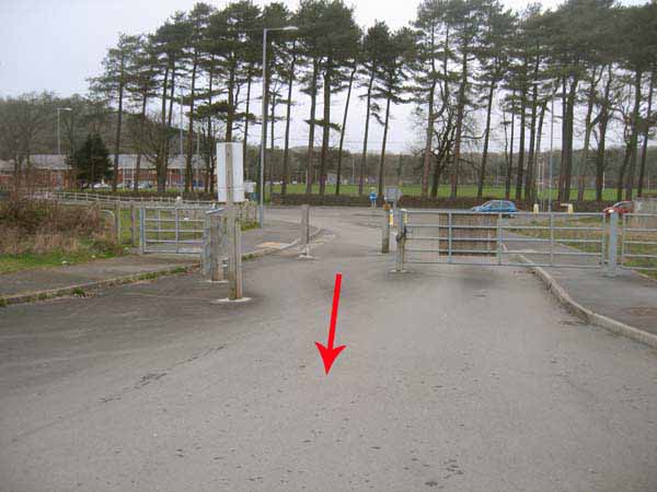
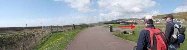
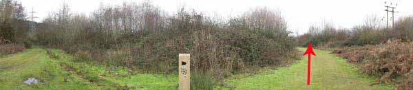
At the level crossing turn right inland on a metalled path.
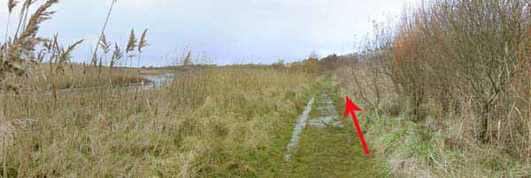
Before crossing the stream at the bridge bear left on the second gravel path in the reeds.
This soon turns west towards the water treatment plant.
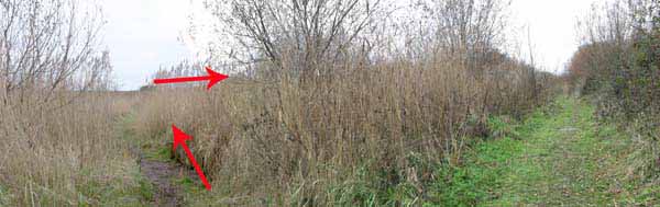
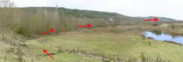
Go behind the plant and bear right on a path that takes you to the lake below the main road.
After a while take the left path to follow the lakeside to a junction.
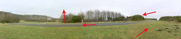
Turn right onto a disused area and make for the Octagonal Pavilion.
(Turn back here along the coast path to complete the 2-3 mile walk).
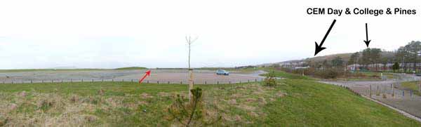
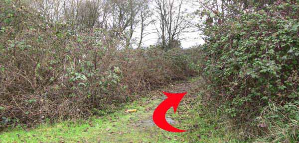
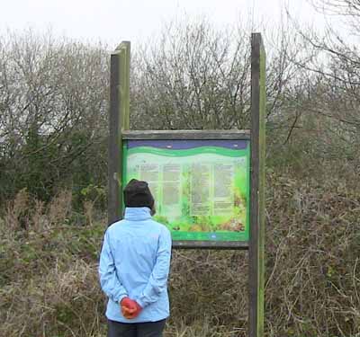
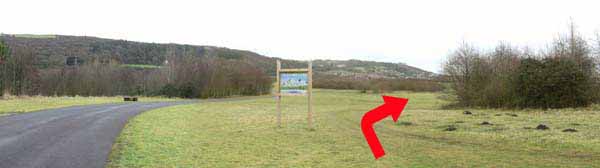
Continue straight on along the inland edge of the playing field to an information board.
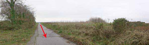
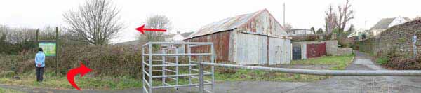
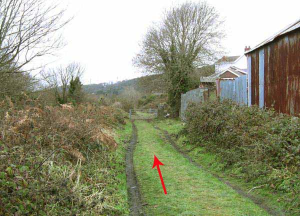
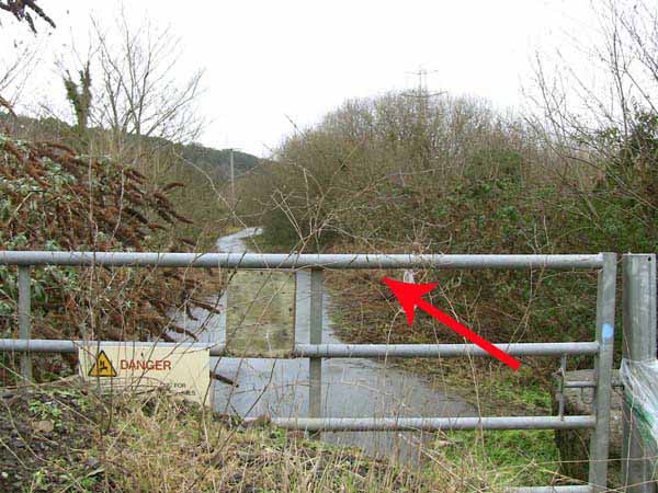
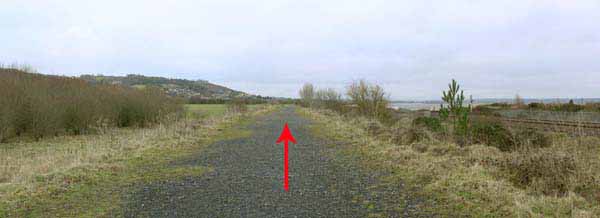
Go through the metal barrier and turn left down a grassy track to a stile that leads to Ffordd y Wagen tram road.
UPDATE: 2016 - June - This tram road has been reported as very overgrown with vegetation.
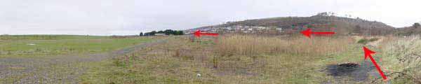
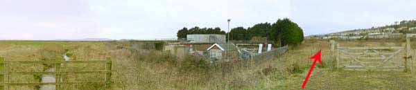
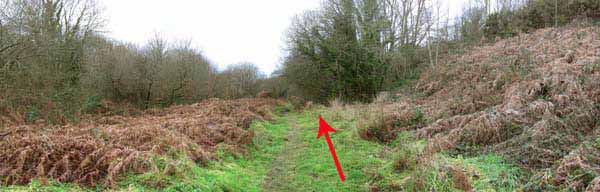
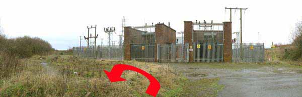
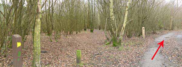
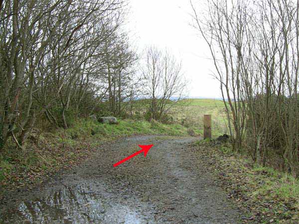
After about a mile the woodland path emerges at an electricity substation.
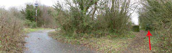
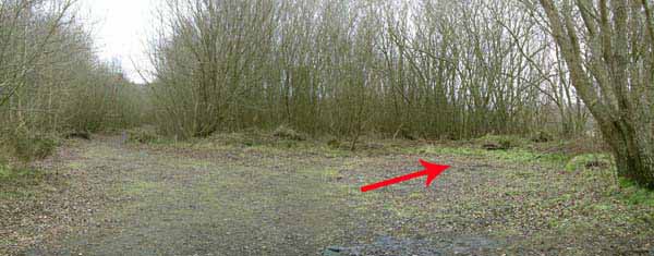
Immediately turn east again on the parallel tarmacadam track then turn right at a junction with a square concrete block.
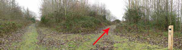
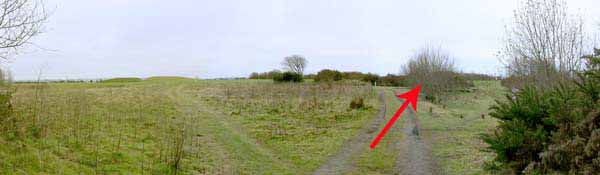
Turn right at the next junction for views of another lake.
Follow the wooden signs around the lake perimeter, passing through woodland.
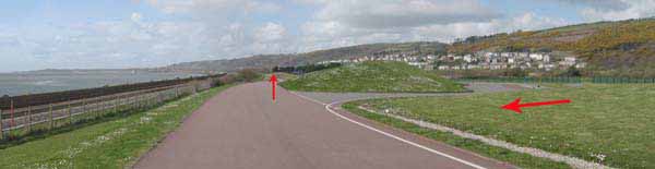
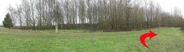
Once out into open ground turn right on a path between trees above a lakeside picnic site.
The path continues right but turn left uphill to the landscaped railway bridge.
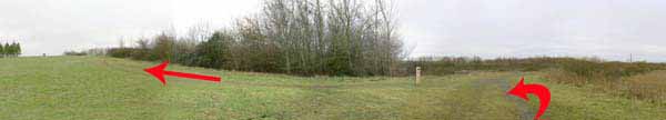
Take in the view of Gower then retrace steps to an information board.
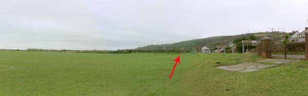
Turn right, leaving the tarmacadam path and continue straight on for about 1.5 miles to return to the car park.
Ramblers Cymru and Swansea Ramblers provide these routes but accept no responsibility for those walking them.
If you would like to go on a walk but would prefer to do so with a group of people then click on our Programme section to see what walks we are leading.
We have walks for varying levels of ability and you get the chance to see the countryside in places you might never go by yourself!
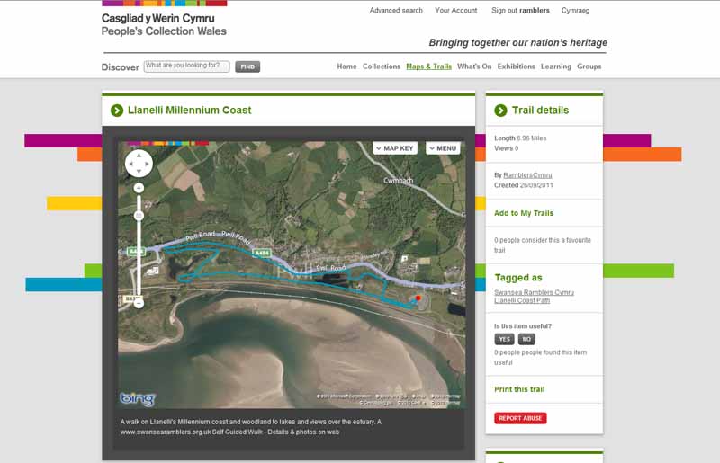
This aerial map is resizable and draggable
(Can be reset to original dimensions by refreshing the page)
A 25,000 Ordnance Survey map of the area
can be viewed by clicking on the above 'View Larger Map' option
(applies only if the above is a Bing map, not a Google map )