Walk Description
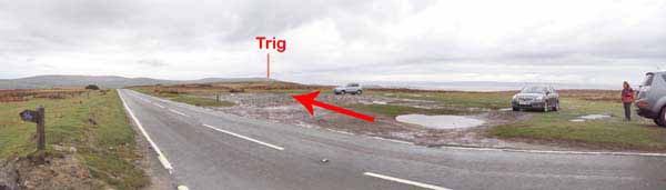
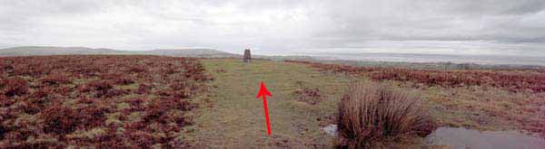
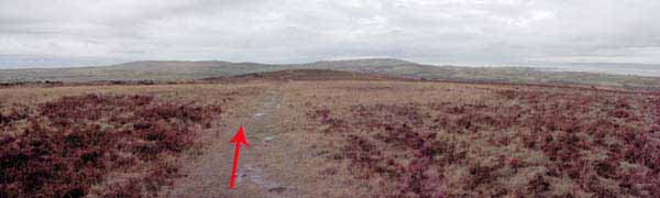
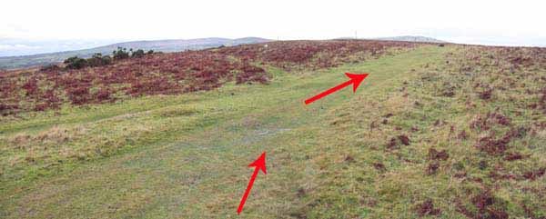
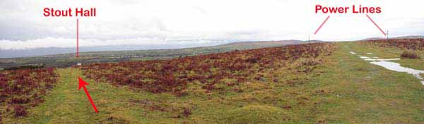
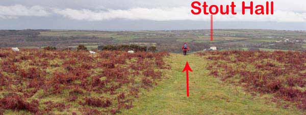
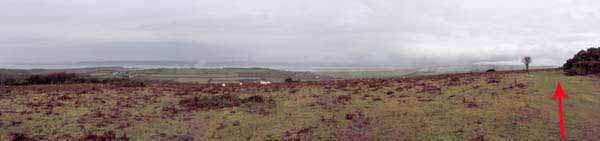
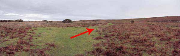
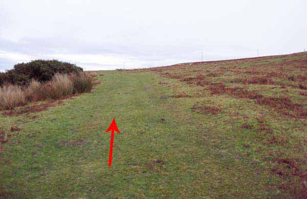
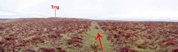
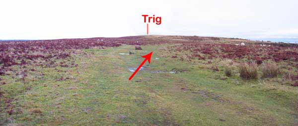
Head westwards past the trig.
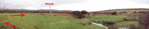
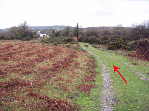
About 100 yards before some electricity poles turn left down a path with views to Stouthall
(Large white house) directly ahead.
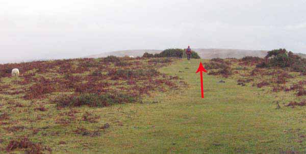
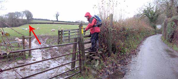
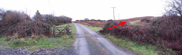
Cross the road to the stile. Go down the lane and over a stile and follow the track.
Where it meets a road, take the stile on the right to the corner gate & stile.
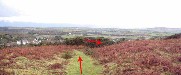
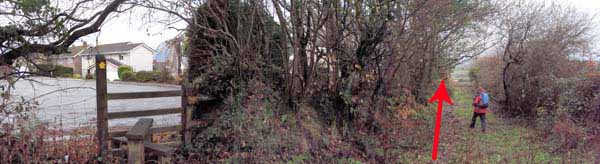
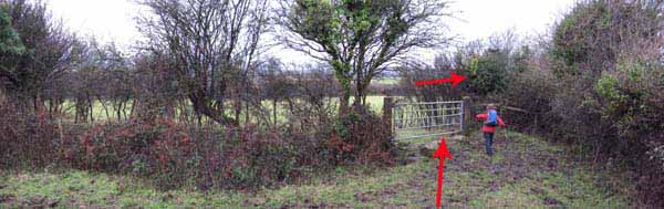
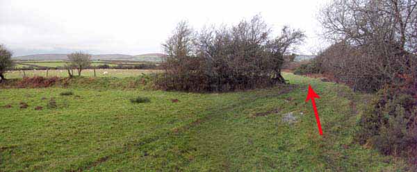
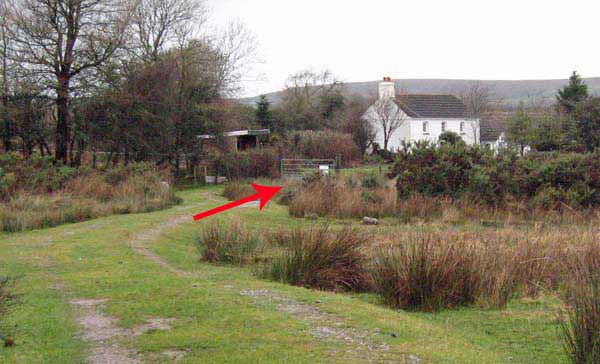
Turn right and follow the hedge to a stile by a house.
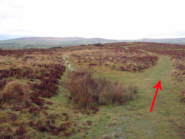
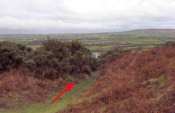
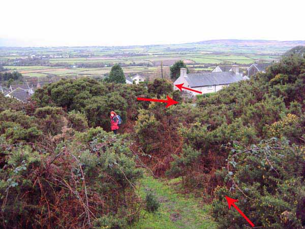
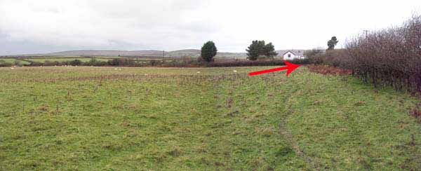
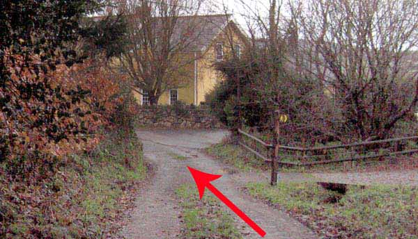
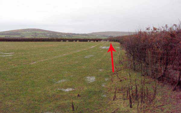
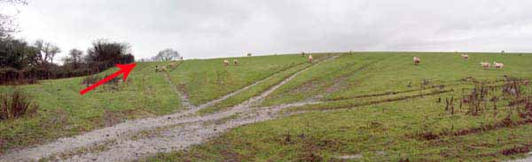
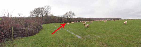
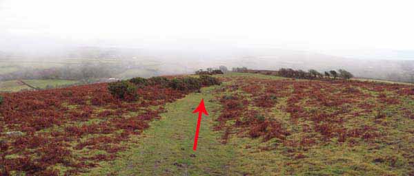
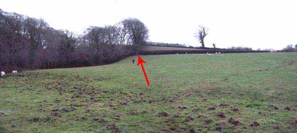
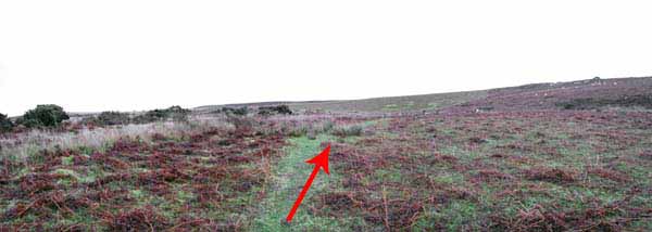
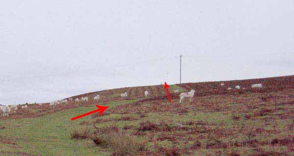
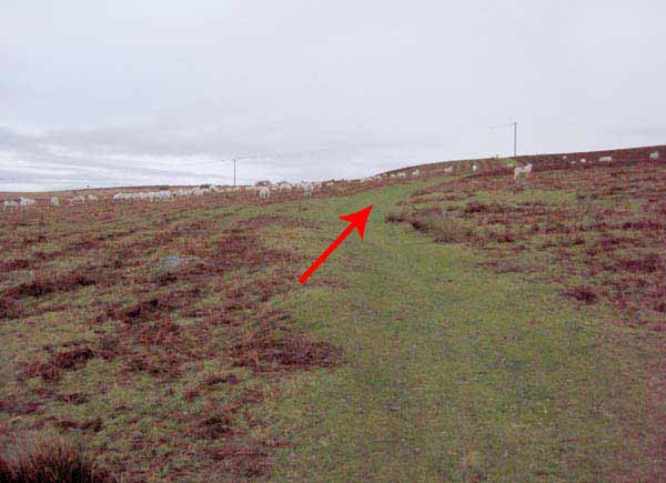
On Frog Moor, turn left then right to follow a path to a second house.
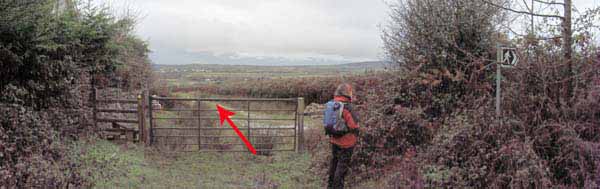
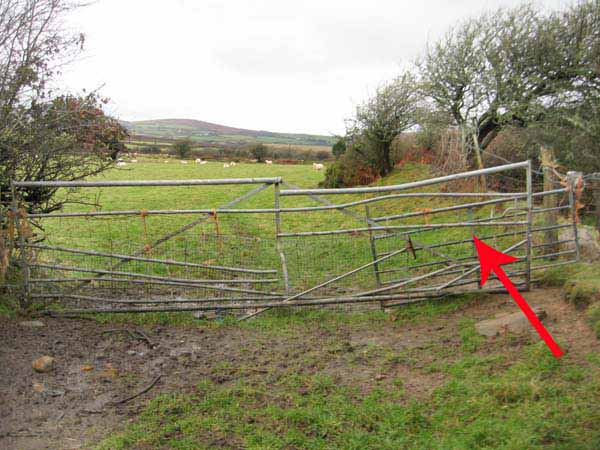
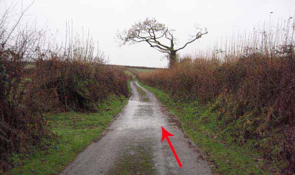
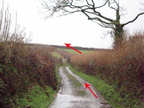
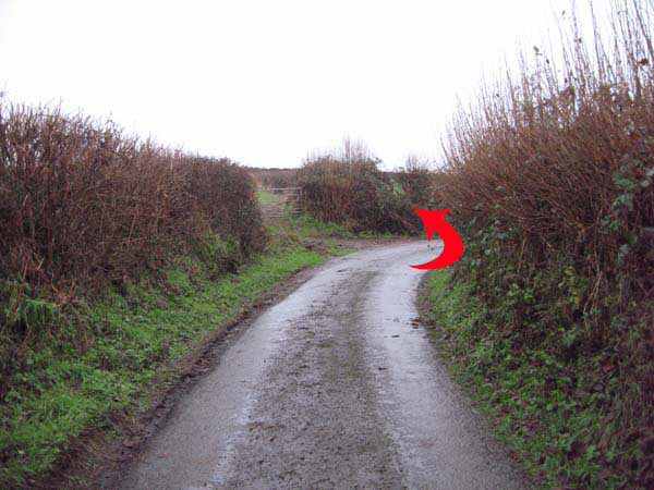
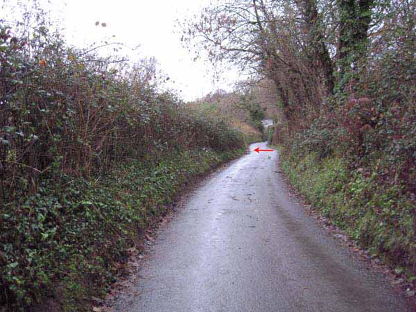
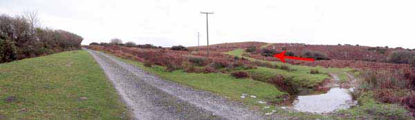
Walk the road for half a mile until at a bend by a gate a stile goes left.
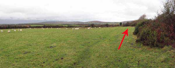
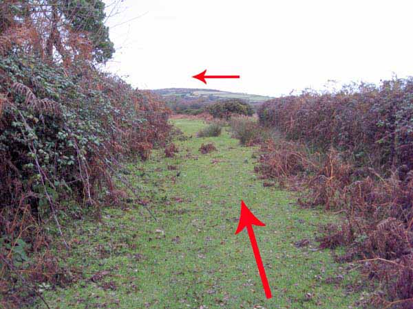
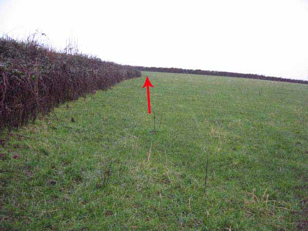
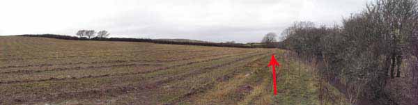
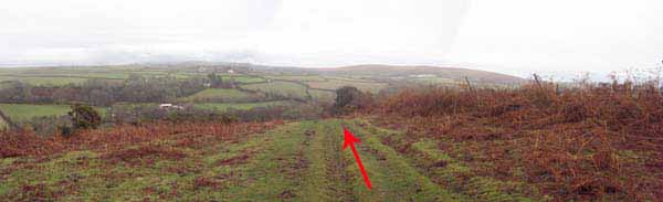
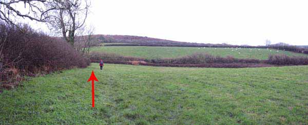
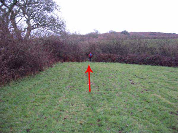
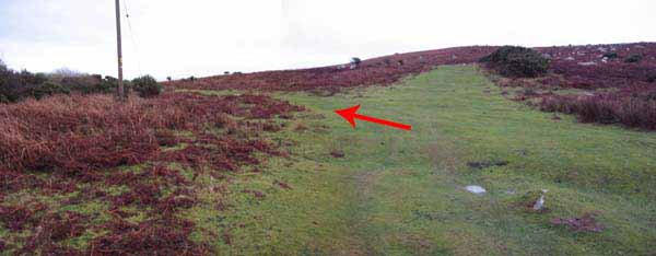
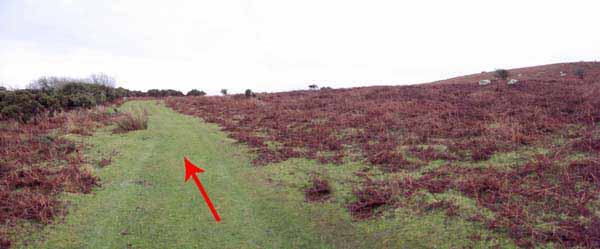
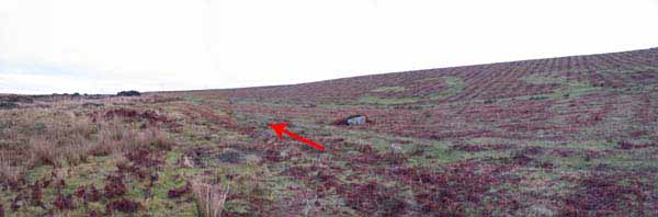
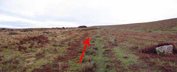
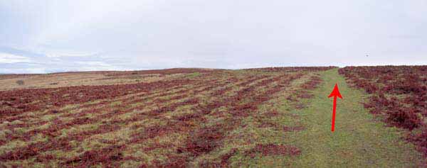
Follow the hedgerow uphill to another stile and continue straight on to a standing stone.
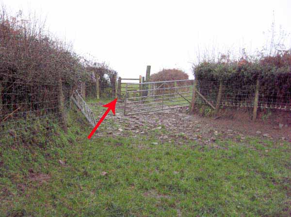
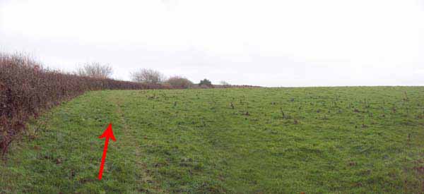
Go straight on over a couple more stiles then head for the gap in the right corner of the next field.
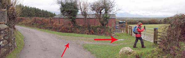
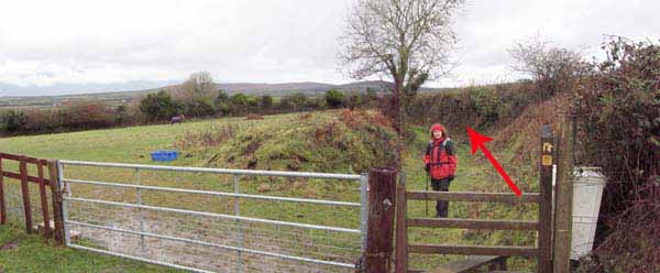
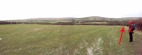
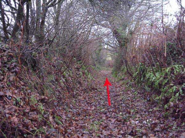
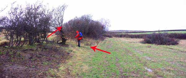
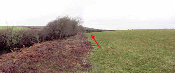
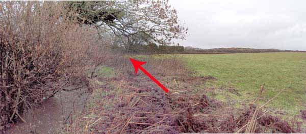
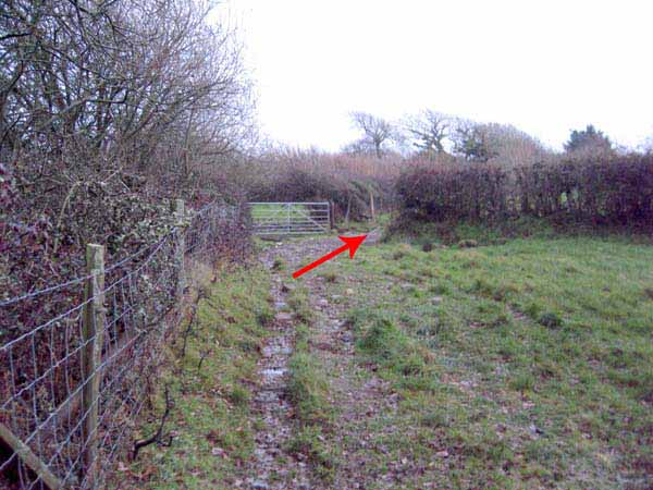
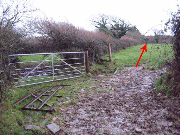
Turn right and follow three fields to a stile in the hedge which leads to a sunken (and wet) lane.
Cross the road to the adjacent stile.
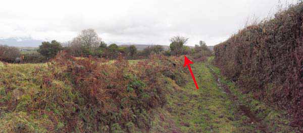
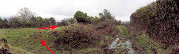
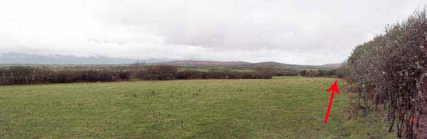
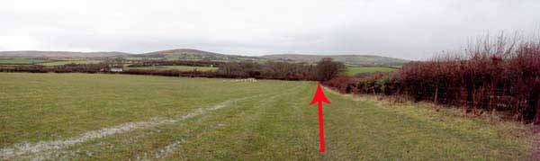
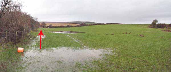
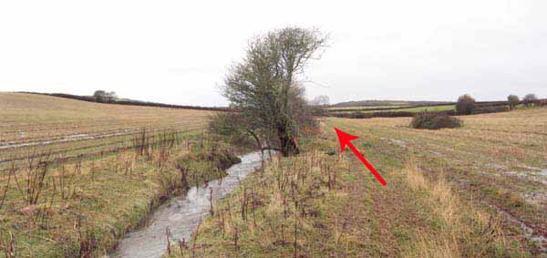
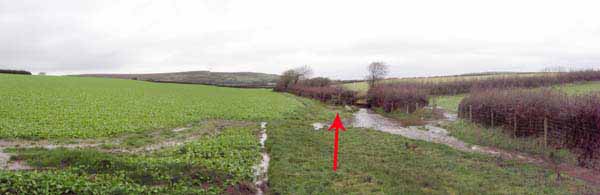
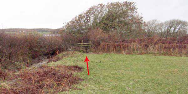
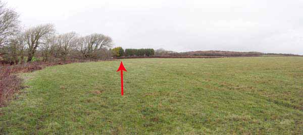
Bear left to the hedge and continue straight on for two fields then follow the stream and cross a bridge.
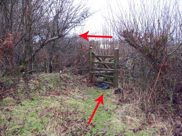
Turn right and go over two stiles and a bridge.
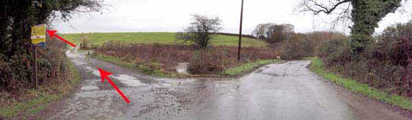
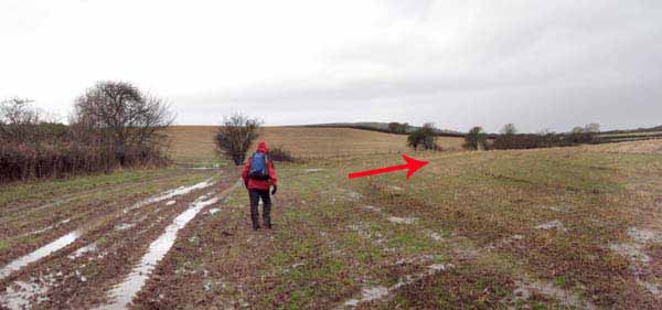
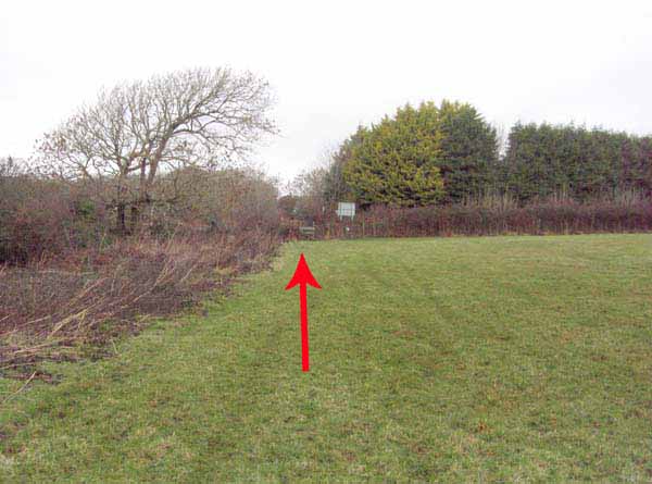
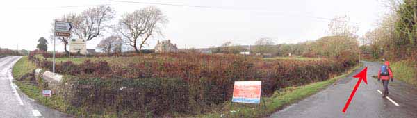
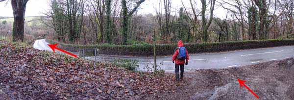
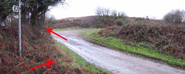
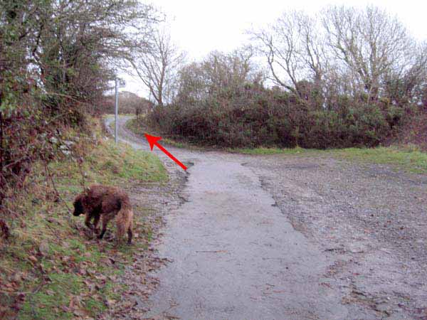
Continue straight to the busy road junction then go straight across towards Ryers Down.
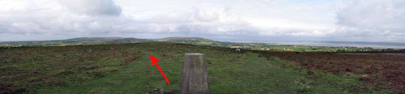
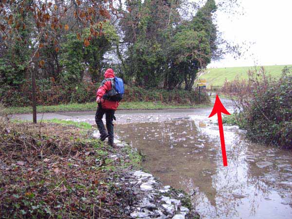
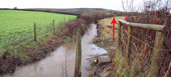
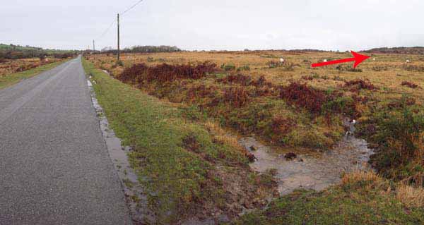
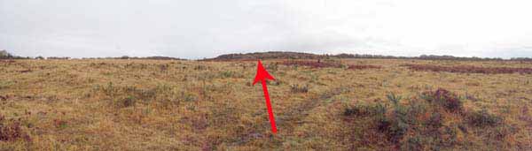
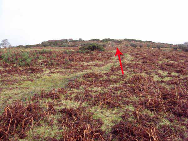
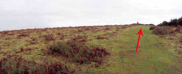
Cross the roadside stream on right and make for the trig at the top of the hill for 360 degree views.
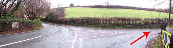
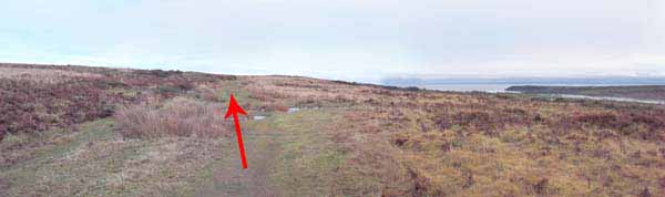
The path continues downhill to a track. Turn right to the busy Burry Green road.
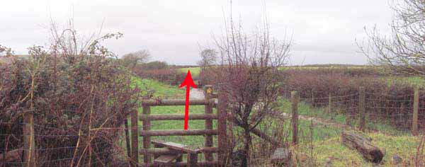
Turn left then right onto the Fairyhill road. Take the stile on the left and bear right for the top corner.
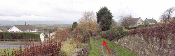
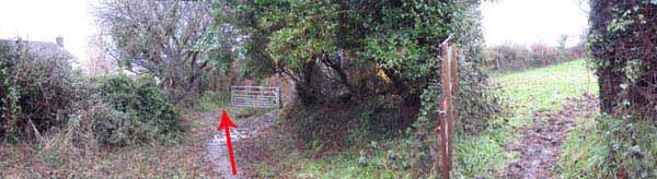
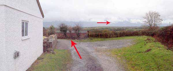
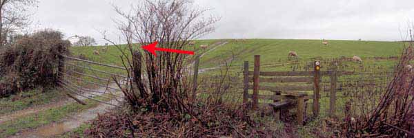
Follow the hedgerow to the Hillend Road.
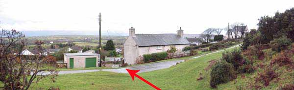
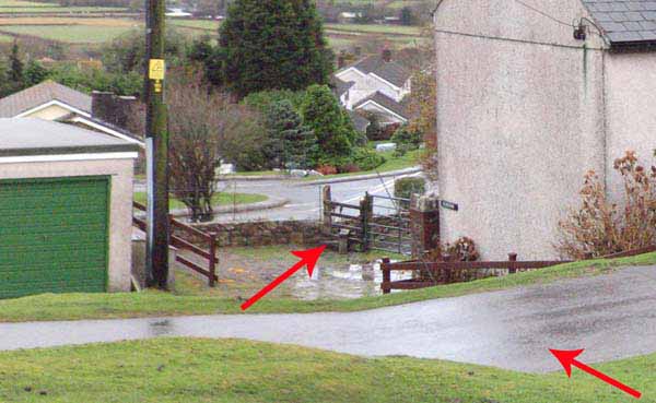
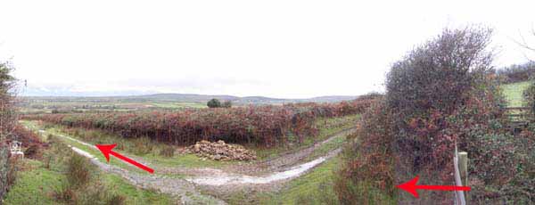
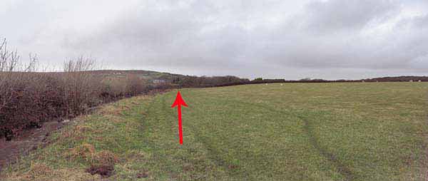
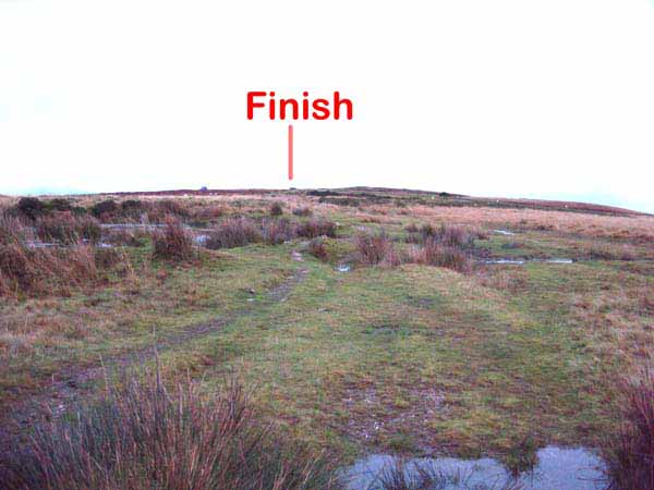
Turn left and after a cattle grid go right over a stream and take the broad green track back to the start.
Ramblers Cymru and Swansea Ramblers provide these routes but accept no responsibility for those walking them.
If you would like to go on a walk but would prefer to do so with a group of people then click on our Programme section to see what walks we are leading.
We have walks for varying levels of ability and you get the chance to see the countryside in places you might never go by yourself!
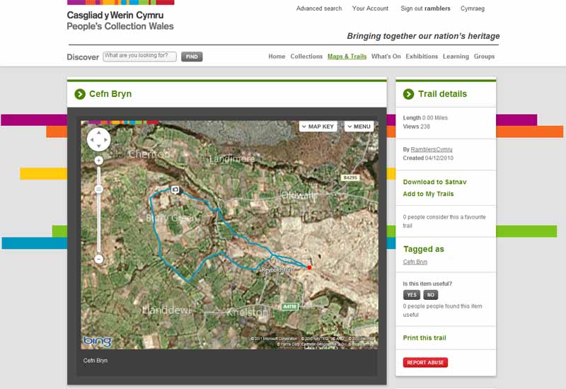
This aerial map is resizable and draggable
(Can be reset to original dimensions by refreshing the page)
A 25,000 Ordnance Survey map of the area
can be viewed by clicking on the above 'View Larger Map' option
(applies only if the above is a Bing map, not a Google map )