Walk Description
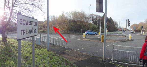
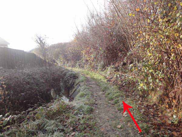
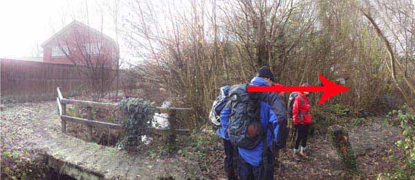
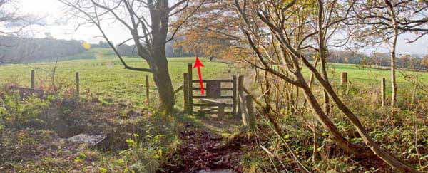
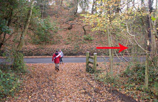
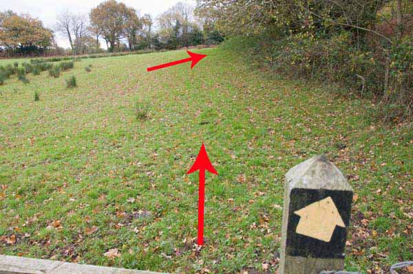
At the signpost follow the stream to a bridge.
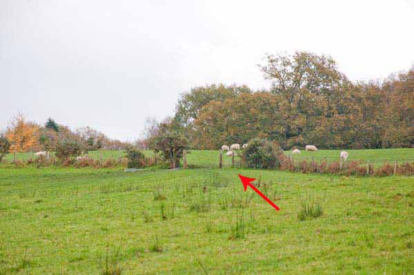
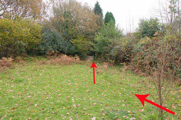
Turn right, continuing to a stile. Go straight across, bearing right where the field divides.
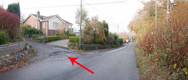
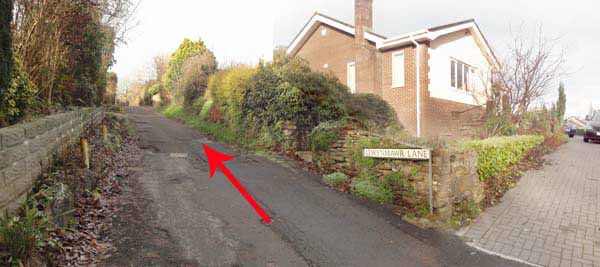
Turn right along road then left to follow Llwynmawr Lane.
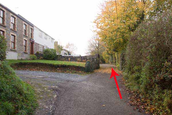
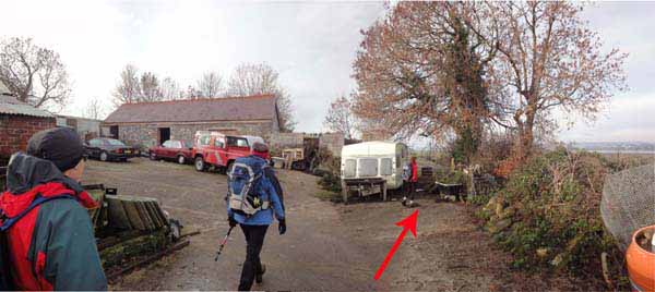
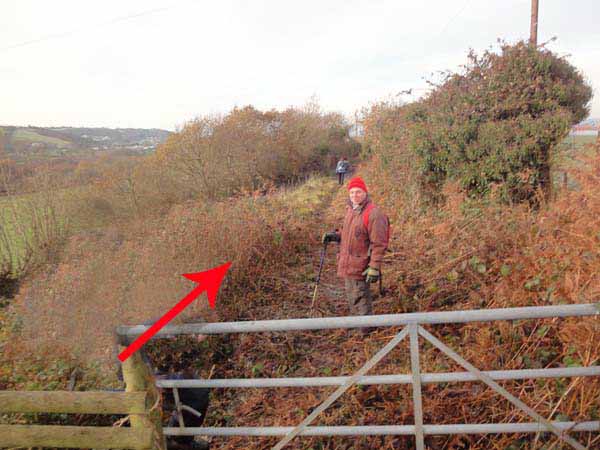
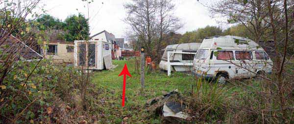
At the far end of Berthlwyd Uchaf farmyard go through the chained gate then bear left to the next gate.
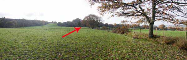
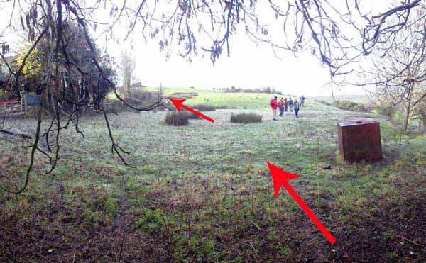
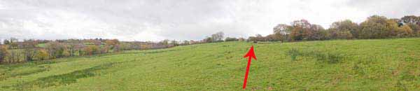
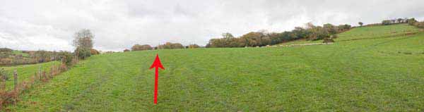
Go uphill then right, following the hedge, noting the views.
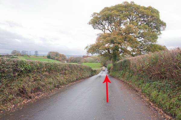
Turn right at a road to the B4295.
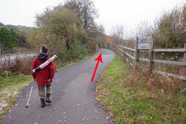
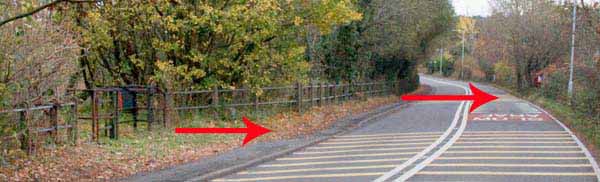
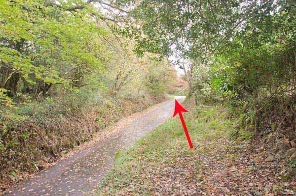
Cross & turn left to the cycle path gate. Follow it until a metal barrier (not gate) leads onto the busy road.
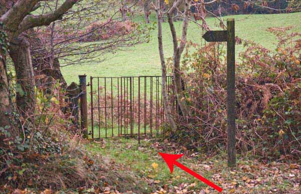
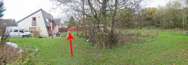
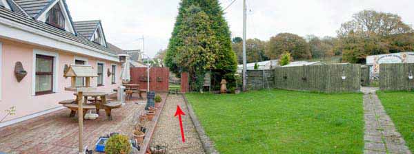
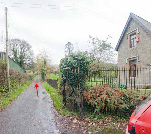
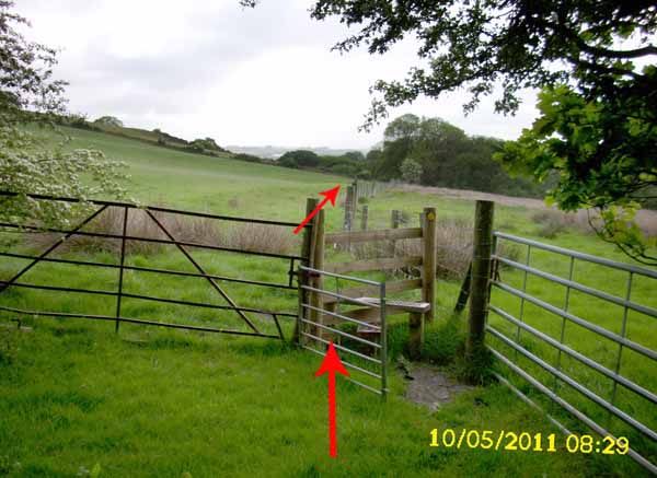
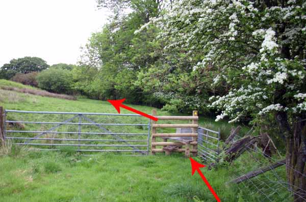
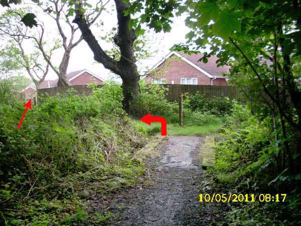
Cross to the kissing gate. Go through some gardens to a field.
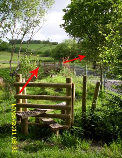
Go diagonally right to a stile then left to a second stile. To the right, a stile leads to the lane.
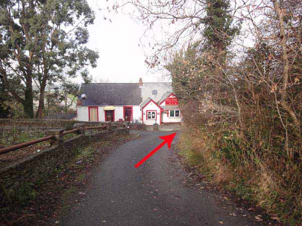
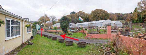
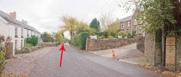
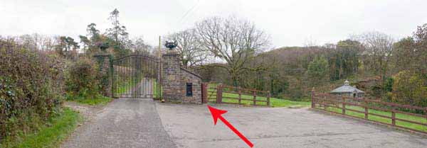
Go uphill to the busy road then turn left for a few hundred yards. At the gatehouse turn right up the track through ornamental gates.
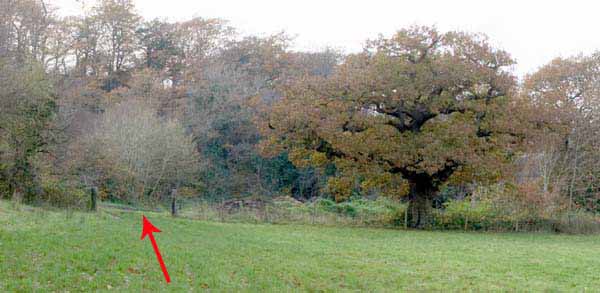
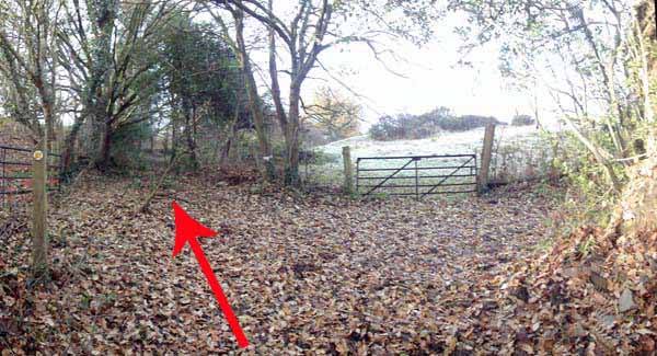
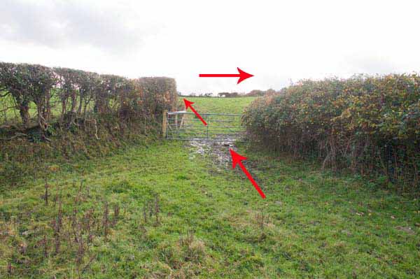
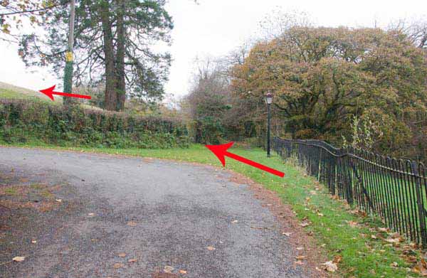
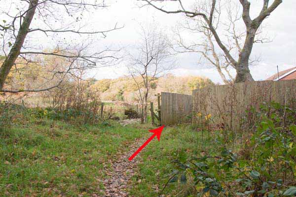
Where the track bears left continue straight to the old gate on the left.
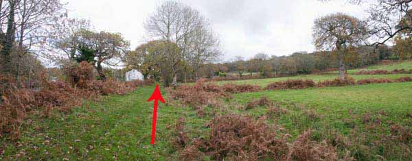
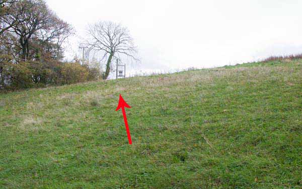
Ascend the field towards the electrical transformer where a gate leads onto the Golf course.
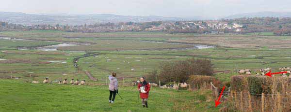
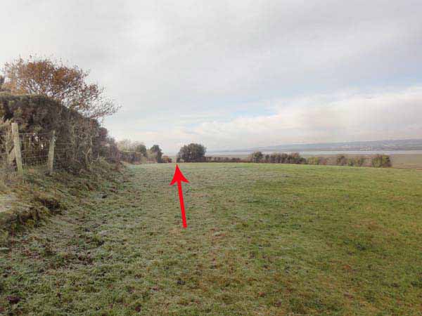
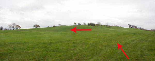
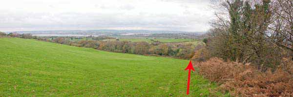
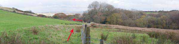
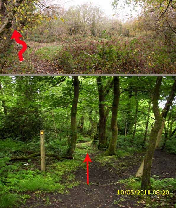
Look for a couple of easy to miss way-mark posts & head straight to follow the right side of the hedge, looking back at the views over the estuary.
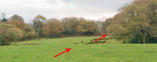
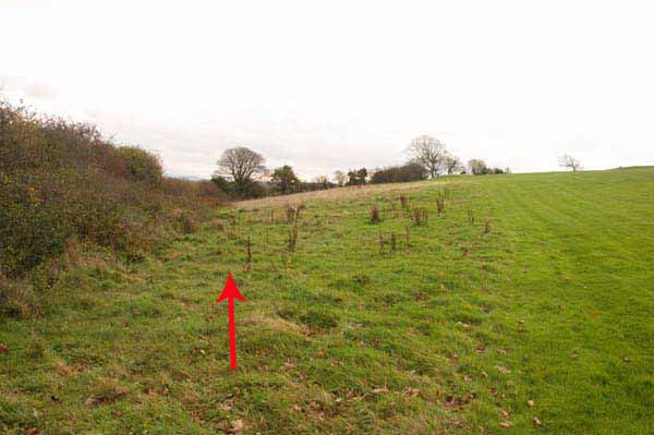
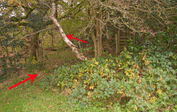
At a marker post turn left downhill to the bottom right corner of the field.
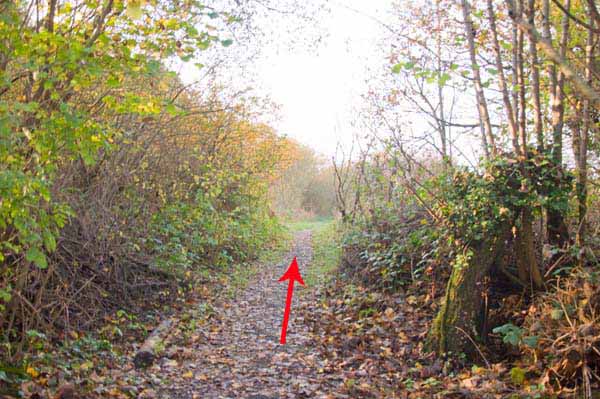
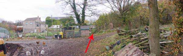
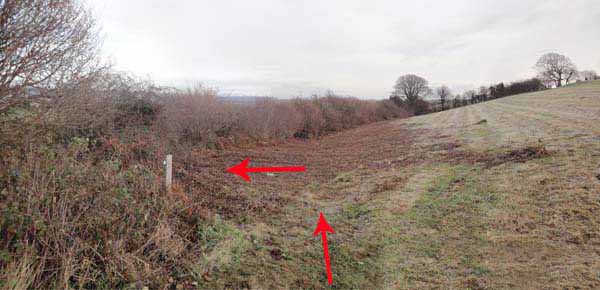
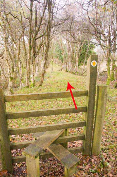
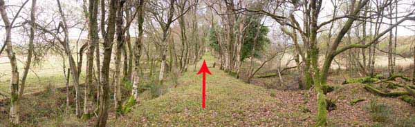
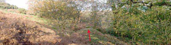
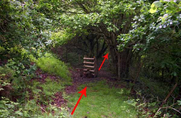
Go over the stile, taking care here as there are no way marks in the overgrown wood before the next stile.
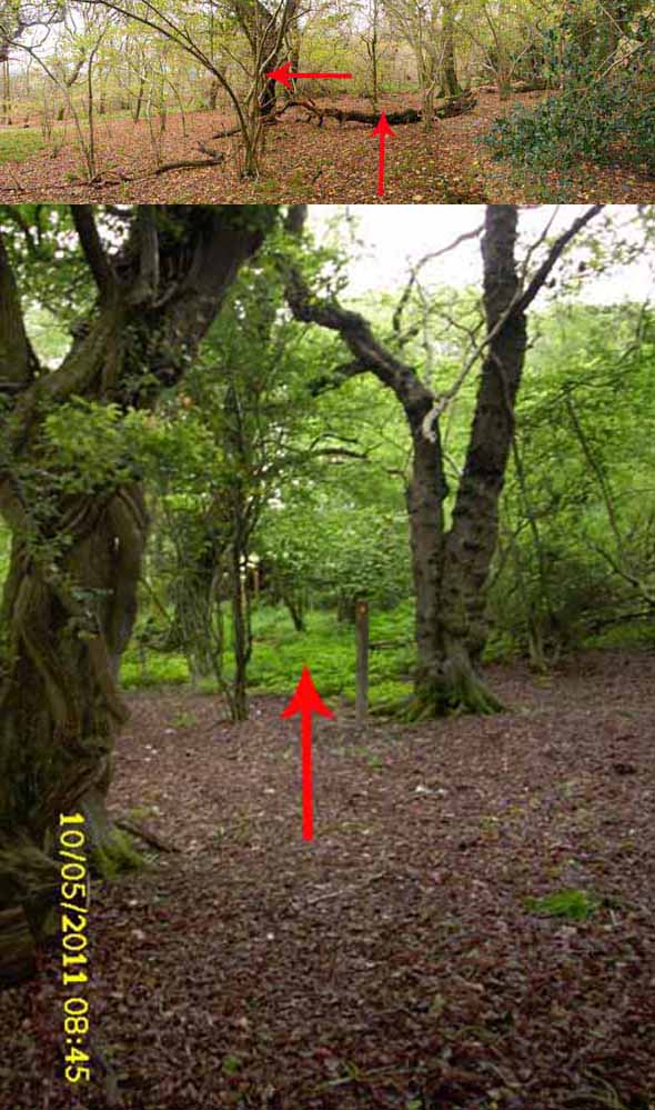
Continue straight on over a cattle grid and some makeshift stiles.
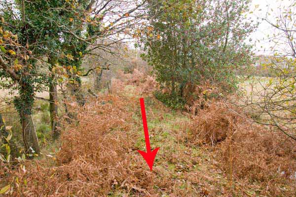
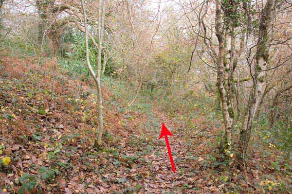
The path enters a wood where you need to step over an old fence across the path.
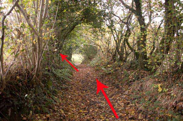
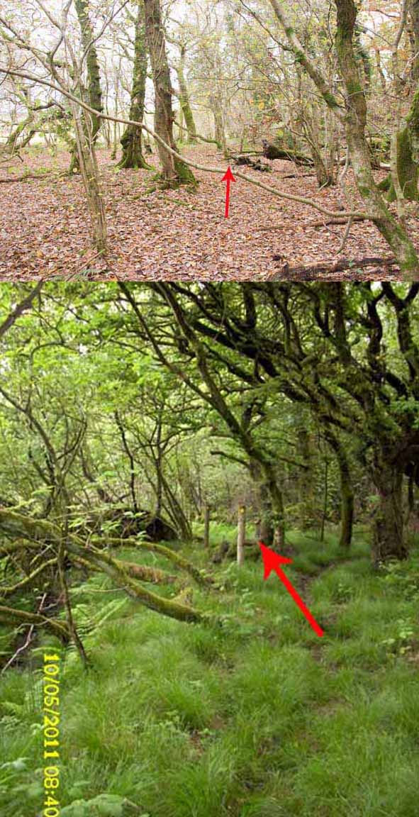
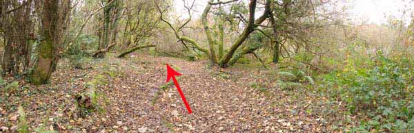
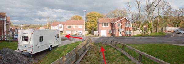
Continue on, eventually turning left then immediately right onto a sunken path.
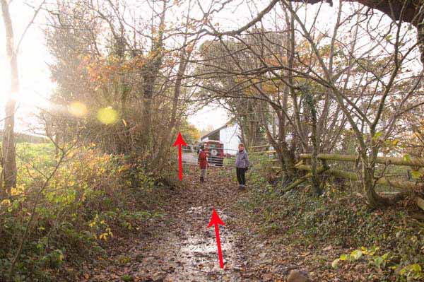
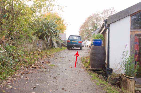
At the bridge turn left to the houses and follow the road down to the start.
Ramblers Cymru and Swansea Ramblers provide these routes but accept no responsibility for those walking them.
If you would like to go on a walk but would prefer to do so with a group of people then click on our Programme section to see what walks we are leading.
We have walks for varying levels of ability and you get the chance to see the countryside in places you might never go by yourself!
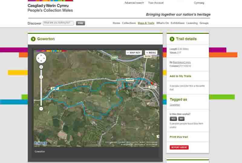
This aerial map is resizable and draggable
(Can be reset to original dimensions by refreshing the page)
A 25,000 Ordnance Survey map of the area
can be viewed by clicking on the above 'View Larger Map' option
(applies only if the above is a Bing map, not a Google map )