Ramblers Cymru Logo Image of Countryside
Swansea Ramblers Logo
at the heart of walking


Swansea Ramblers Walk


Mynydd y Gaer


Walk Start / Finish Location:
Blackmill on A4061 north of M4 junction 36

Walk Distance: 7 miles (4 hours)

Walk Level: Moderate - very muddy in places - map & compass advisable for ridge walk

Parking: Blackmill livestock market (behind Fox & Hounds Pub)(free)

Transport: Traveline - www.traveline.info   - or - Telephone 0871 200 22 33


Walk Description


A valley walk above Bridgend going alongside a river,
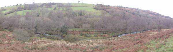
following a ridge walk with views to the coast and surrounding hills
then descending back through an oak woodland.

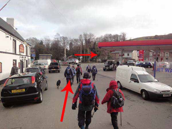
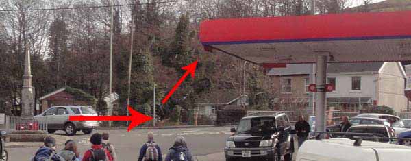
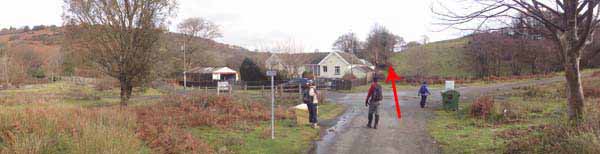
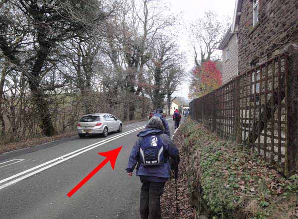
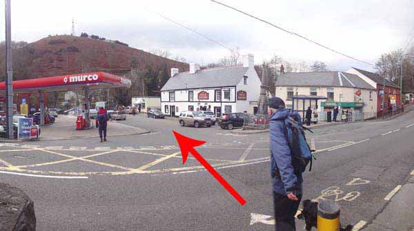
From the Fox & Hounds, cross the road and turn right.
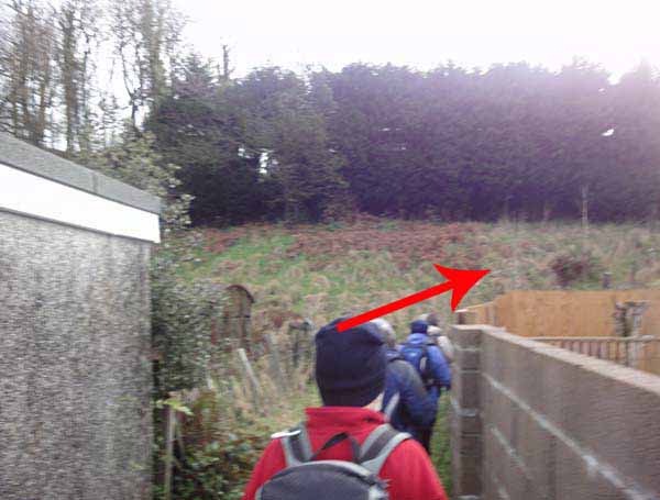
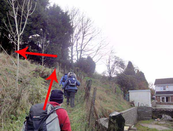
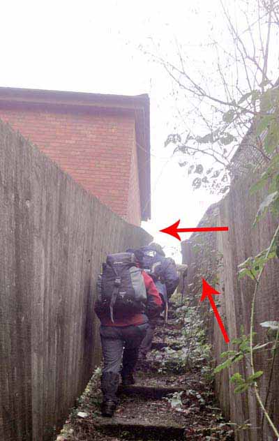
Turn left into Meadow View and ascend to the footpath on the right between the houses.
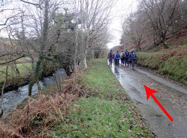
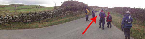
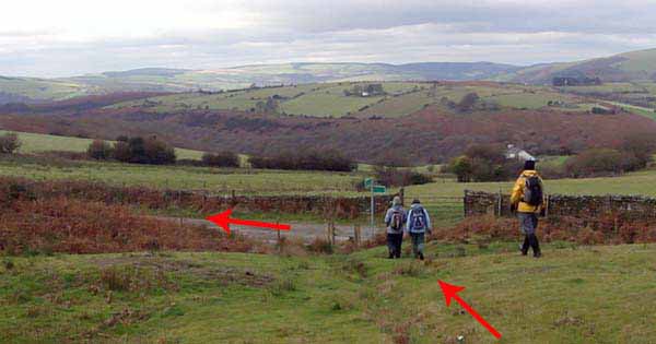
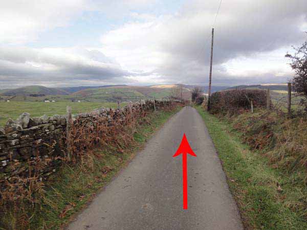
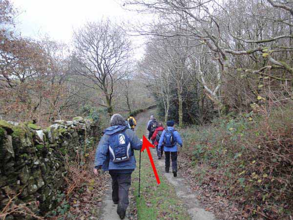
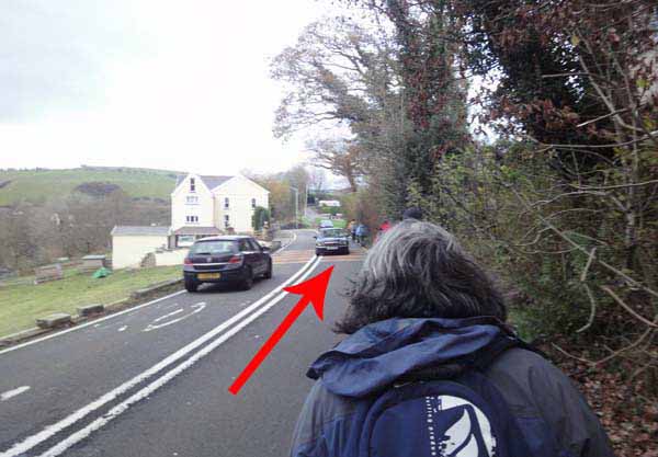
At the road turn left for about 1.5 miles.
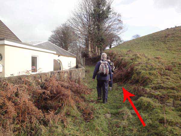
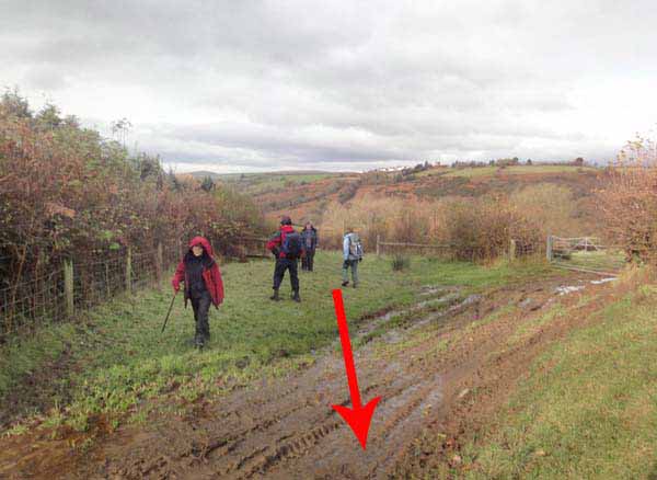
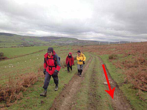
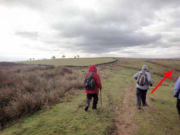
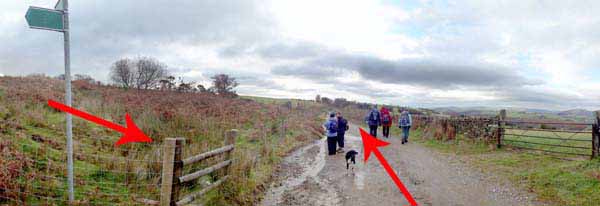
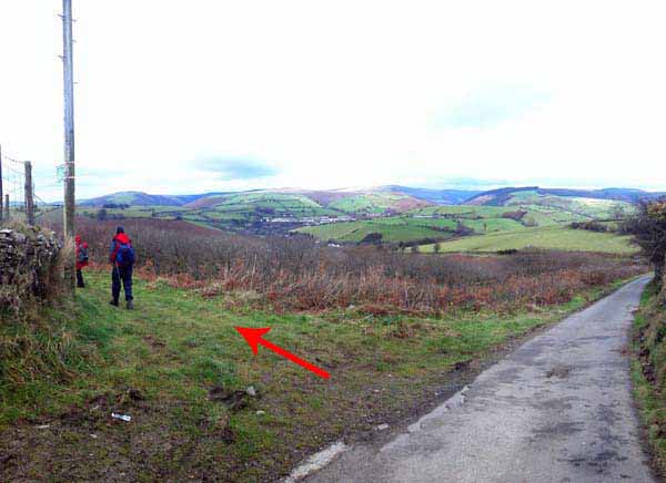
At the crossroads, continue straight ahead through the gate by the house and ascend.
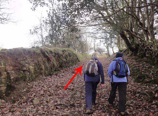
The upper part of this path can be very muddy!
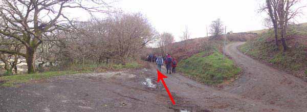
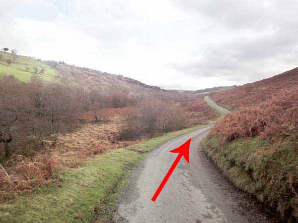
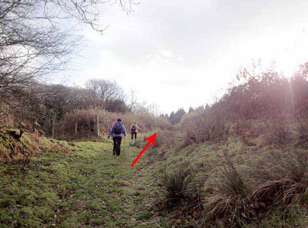
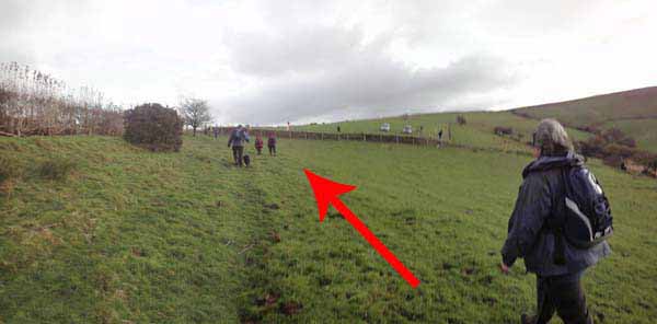
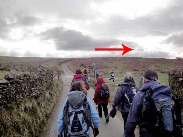
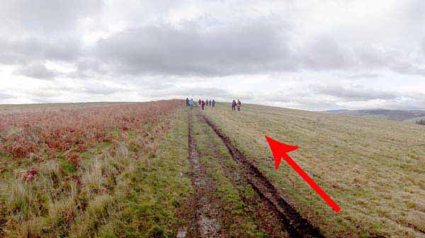
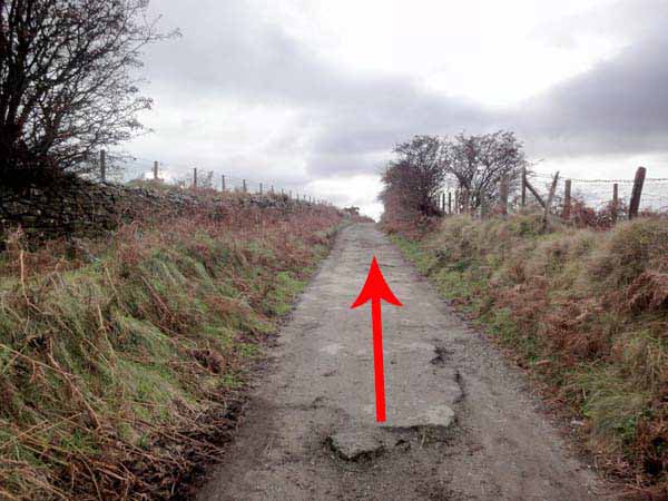
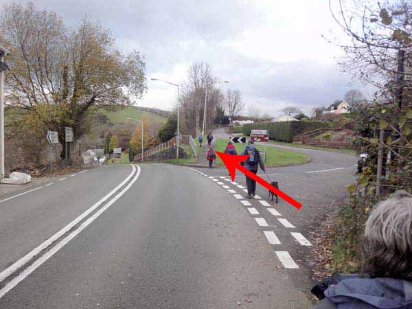
Join a single track road to the common.
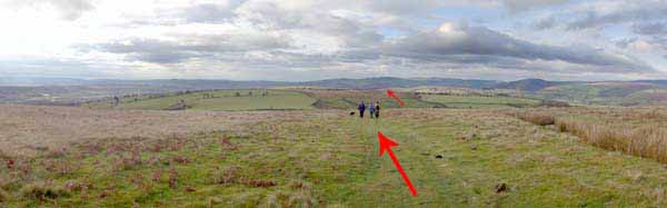
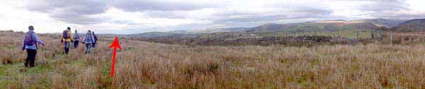
Turn right off the road and follow the path uphill for 360 degree views.
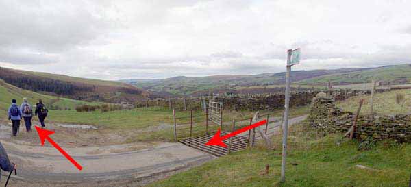
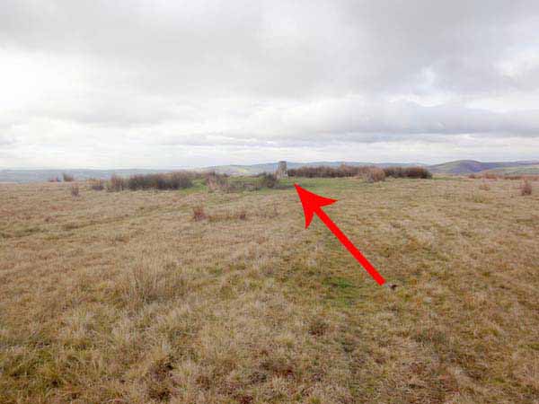
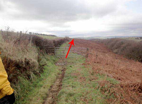
Follow the path to the Trig Point. Continue straight on.
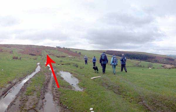
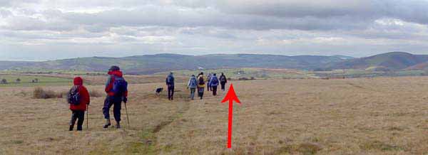
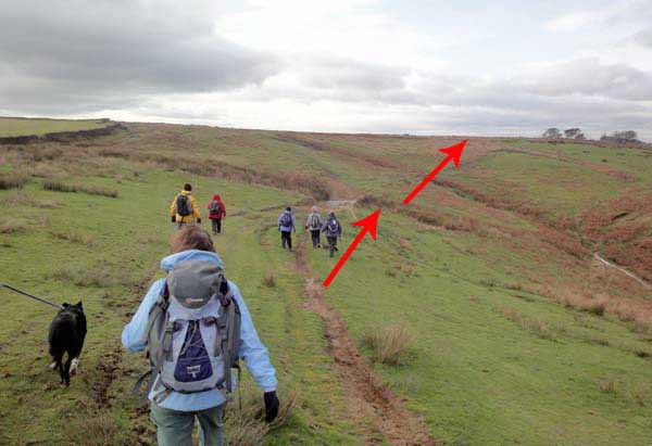
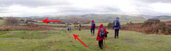
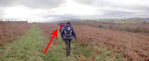
A steep valley descends to the right but keep to the top, bearing slightly right towards the fields.
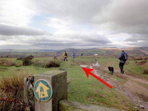
Continue parallel with the fields, until a stile is reached where the ground is rocky from motorbike damage.
Go diagonally across the grass to another stile and a dirt track.
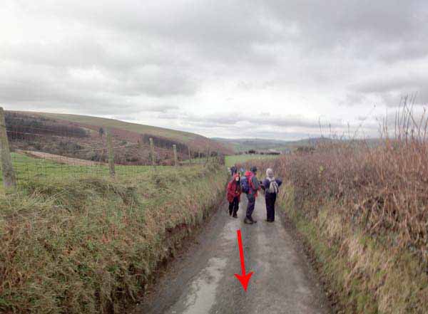
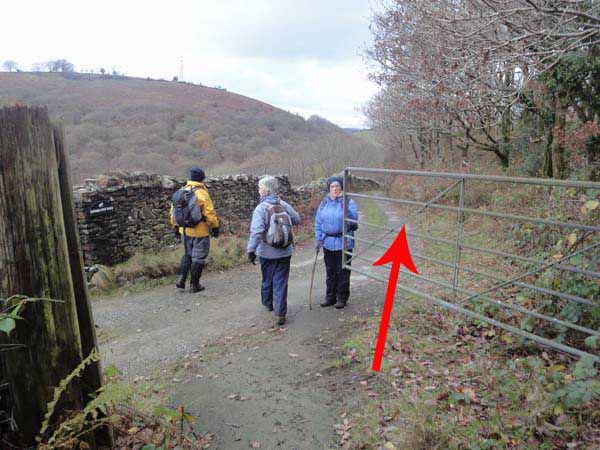
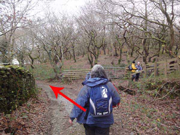
Turn left and at the road junction go right downhill. Take the footpath to the left at the end of the stone wall.
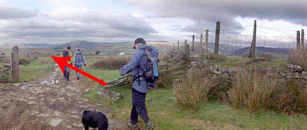
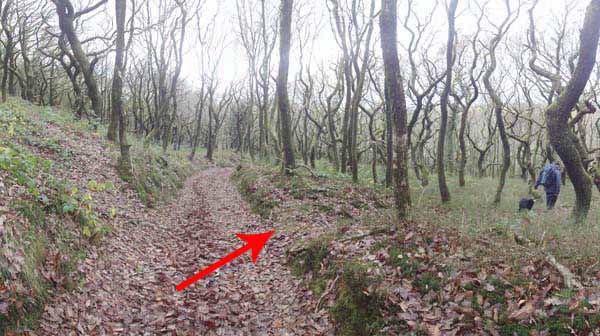
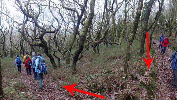
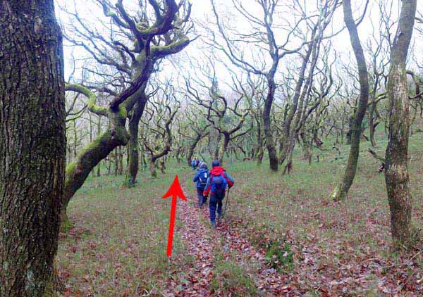
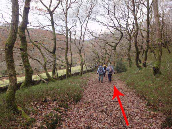
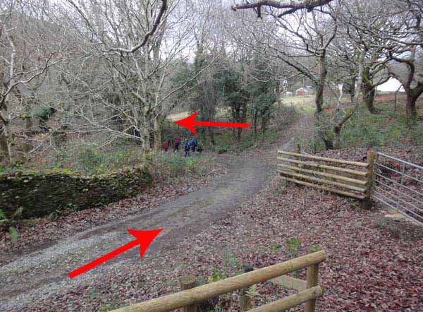
Pass through a gate and descend the right fork into the woodland.
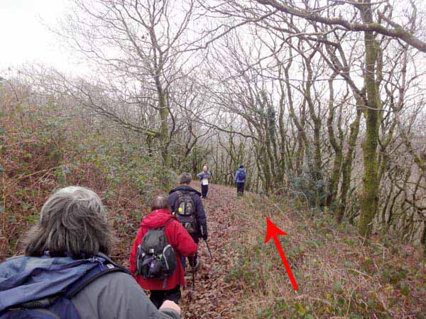
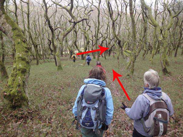
Watch carefully for the right turn in the woodland to descend through the trees to the bottom path.
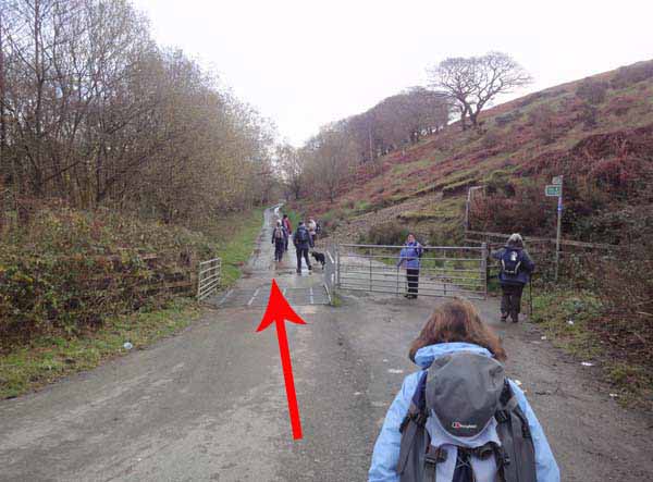
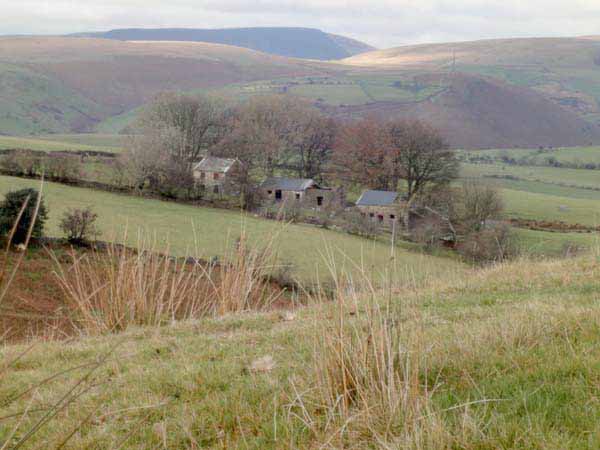
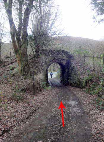
Turn right and descend to the gate by Hendre Post Farm.
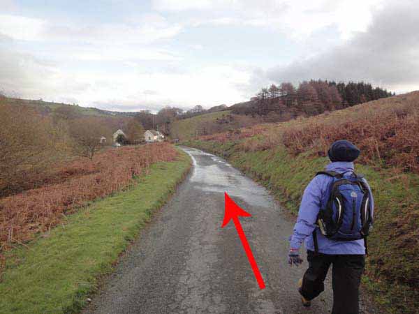
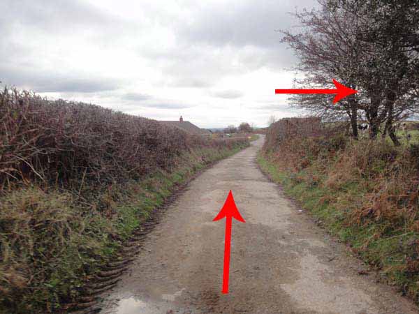
Continue downhill on the track and bear left under a railway bridge.
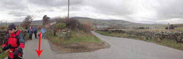
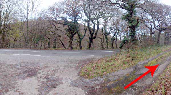
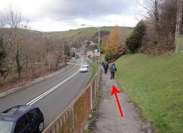
Just before the road turn right along another track.
Join the busy road and take care walking about 300 yards to the T-junction and the pavement back to the start.


Ramblers Cymru and Swansea Ramblers provide these routes but accept no responsibility for those walking them.

If you would like to go on a walk but would prefer to do so with a group of people then click on our Programme section to see what walks we are leading.

We have walks for varying levels of ability and you get the chance to see the countryside in places you might never go by yourself!


Maps of the Walk


Ordnance Survey map of the route to walk
Resizable and draggable
(Can be reset to original dimensions by refreshing the page)
Green Swansea Ramblers logo markers where present can be clicked to provide more information


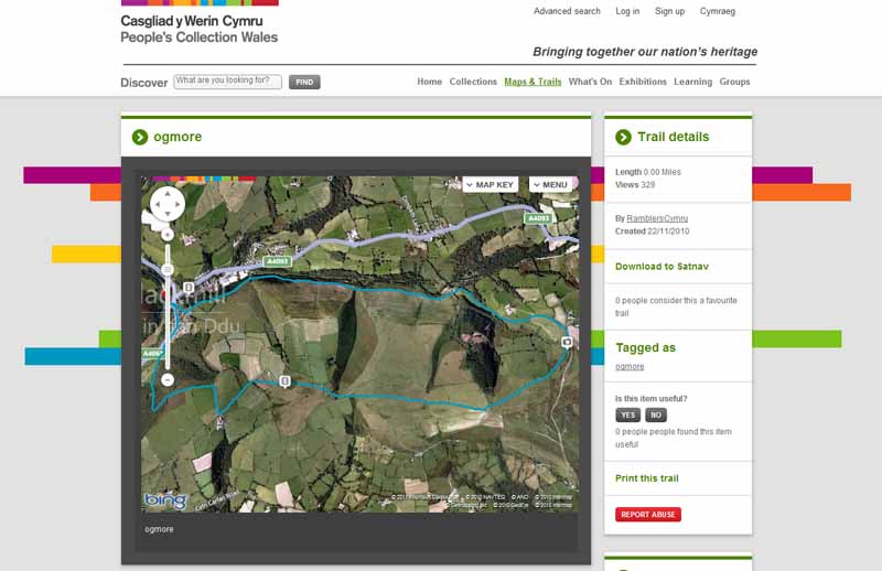
This aerial map is resizable and draggable
(Can be reset to original dimensions by refreshing the page)

A 25,000 Ordnance Survey map of the area
can be viewed by clicking on the above 'View Larger Map' option
(applies only if the above is a Bing map, not a Google map )


Peoples Collection link

The route of this walk has been added to The National Museum of Wales' Peoples Collection Web site.
A choice of aerial imagery or historic Ordnance Survey mapping is available.
Click the map to enter their web site (opens in a new browser window)
or copy and paste this link into a new browser window.
http://www.peoplescollectionwales.co.uk/Trail/491


Photographs of the Walk


Photograph of Walking Route - Image 1
Cross the road by the Fox and Hounds


Photograph of Walking Route - Image 2
Watch for the path going up between houses


Photograph of Walking Route - Image 3
The path ascends between the houses


Photograph of Walking Route - Image 4


Photograph of Walking Route - Image 5


Photograph of Walking Route - Image 6
Turn left and follow this road


Photograph of Walking Route - Image 7
Continue on this road for 1.5 miles


Photograph of Walking Route - Image 8
A pleasant walk by the river


Photograph of Walking Route - Image 9
Continue on this road


Photograph of Walking Route - Image 10
There is a river in the valley


Photograph of Walking Route - Image 11
Continue straight past the house


Photograph of Walking Route - Image 12
Continue uphill straight past the house


Photograph of Walking Route - Image 13
Continue uphill straight past the house


Photograph of Walking Route - Image 14
Continue uphill


Photograph of Walking Route - Image 15
Continue uphill


Photograph of Walking Route - Image 16
Starts to get very muddy for a few hundred yards


Photograph of Walking Route - Image 17
Nearly at the tarmacadam road


Photograph of Walking Route - Image 18
Go straight up this road


Photograph of Walking Route - Image 19
Ignore the left turn


Photograph of Walking Route - Image 20
This is the same junction looking the other way


Photograph of Walking Route - Image 21
At the common turn right


Photograph of Walking Route - Image 22
Go uphill on the path


Photograph of Walking Route - Image 23
Traffic has cut into the path


Photograph of Walking Route - Image 24
On the ridge walk. Wind farm behind


Photograph of Walking Route - Image 25
Continue straight on the ridge looking at the views


Photograph of Walking Route - Image 26
Eventually a hidden trig comes into view


Photograph of Walking Route - Image 27
Continue straight on


Photograph of Walking Route - Image 28
Continue straight on


Photograph of Walking Route - Image 29
Derelict houses to the right


Photograph of Walking Route - Image 30
Go slightly right to walk parallel with the right hand fields


Photograph of Walking Route - Image 31
Go slightly right to walk parallel with the right hand fields


Photograph of Walking Route - Image 32
Continue to a stile ignoring the way mark post (on extreme right of photo)


Photograph of Walking Route - Image 33
Go through gap diagonally across field


Photograph of Walking Route - Image 34
Go through gap diagonally across field


Photograph of Walking Route - Image 35
At stile and rough farm track turn left


Photograph of Walking Route - Image 36
At stile and rough farm track turn left


Photograph of Walking Route - Image 37
Continue along track to road junction


Photograph of Walking Route - Image 38
Continue along track to road junction


Photograph of Walking Route - Image 39
At road junction turn right downhill


Photograph of Walking Route - Image 40
Go downhill


Photograph of Walking Route - Image 41
At end of left wall turn left


Photograph of Walking Route - Image 42
Go through gate


Photograph of Walking Route - Image 43
Take the right fork to descend


Photograph of Walking Route - Image 44
Enter an Oak wood


Photograph of Walking Route - Image 45
After a short distance take care not to miss the turning right


Photograph of Walking Route - Image 46
This is the right turn


Photograph of Walking Route - Image 47
Go down through the wood


Photograph of Walking Route - Image 48
At bottom turn right and continue down


Photograph of Walking Route - Image 49
Continue down


Photograph of Walking Route - Image 50
Go left through gate


Photograph of Walking Route - Image 51
Continue on track


Photograph of Walking Route - Image 52
Display boards on right. Continue left on track


Photograph of Walking Route - Image 53
Go left to a bridge


Photograph of Walking Route - Image 54
Go under bridge


Photograph of Walking Route - Image 55
Turn right on track for a short distance


Photograph of Walking Route - Image 56
Join the busy road Take care!


Photograph of Walking Route - Image 57
The pavement is a couple of hundred yards ahead. Take care!


Photograph of Walking Route - Image 58
At junction join the pavement


Photograph of Walking Route - Image 59
Blackmill is just ahead


Photograph of Walking Route - Image 60
Cross back to the finish


More information about walking in Wales is available at:    www.ramblers.org.uk/wales

Ramblers Cymru and Swansea Ramblers provide this route but accept no responsibility for those walking it

All photographs Copyright 2012 Andrew Morgan. All rights reserved


Swansea Ramblers hope you enjoy doing this walk.

Over time things can change on the walk

- for example - path diversions, new gates instead of stiles or maybe the path has become blocked.

If you do find anything different on the way then let us know:

1. Which walk you have been on.

2. The type and location of the change or the problem you have experienced.


Of course you may just like to tell us that you have done the walk and whether you enjoyed it.

Use the link below to email us about your walk.

We'll look forward to hearing from you.


If the email link is not displayed above or is not supported by your email setup, manually type in our email address
address


Back to top

Our use of Cookies

Our Privacy Policy


Valid HTML 4.01 Transitional