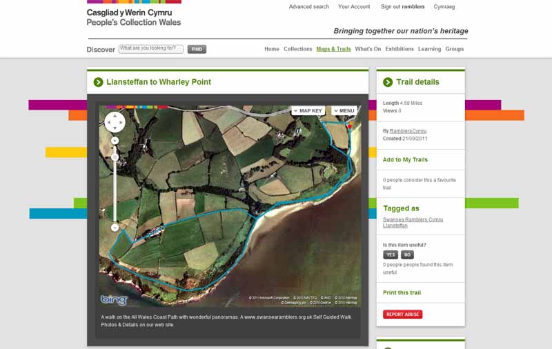
Walk Description
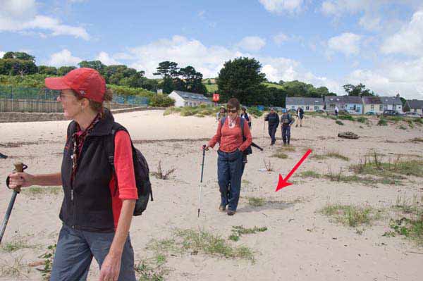
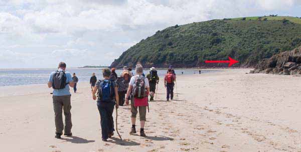
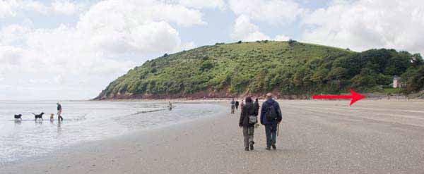
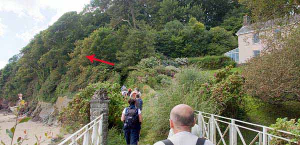
From the car park go onto the beach and walk below the cliffs to a house.
(N.B. If the tide is coming in then ascend the steps and follow the cliff path).
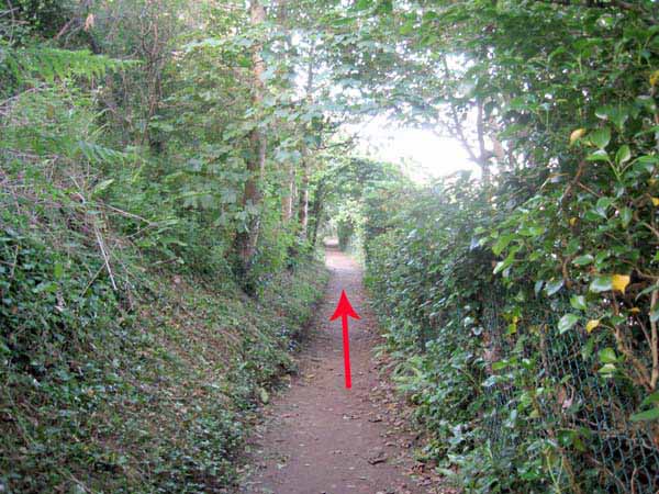
At the house turn left onto the ascending path to the viewpoints.
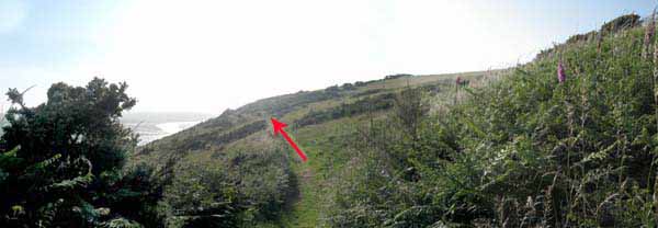
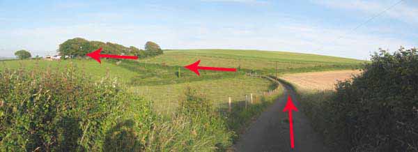
After about a mile the path turns inland to a road.
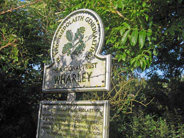
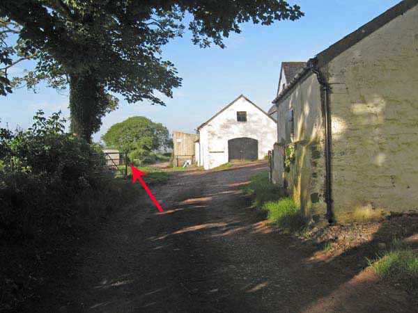
Turn right and follow the road to a National Trust farm.
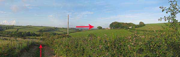
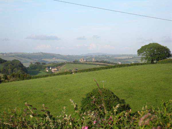
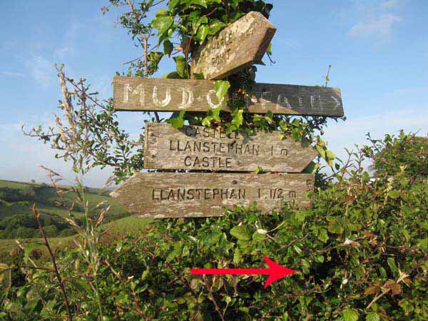
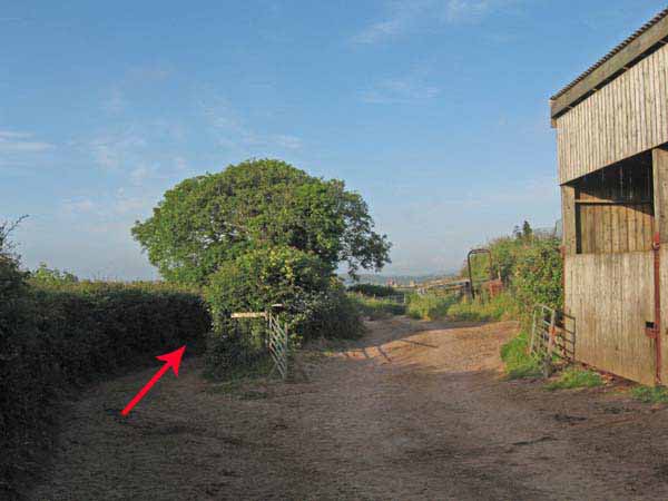
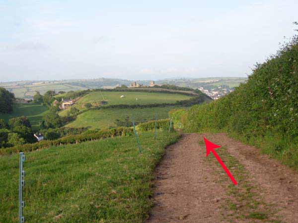
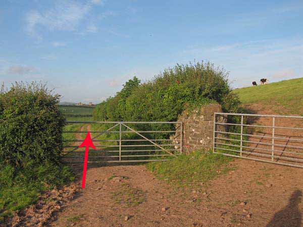
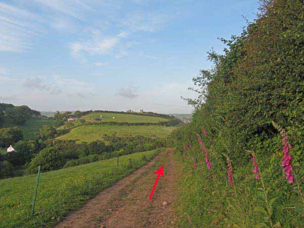
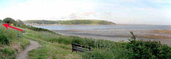
Take the left fork after passing some farm buildings then follow the path, with views of Llansteffan Castle straight ahead.
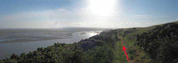
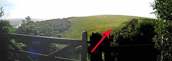
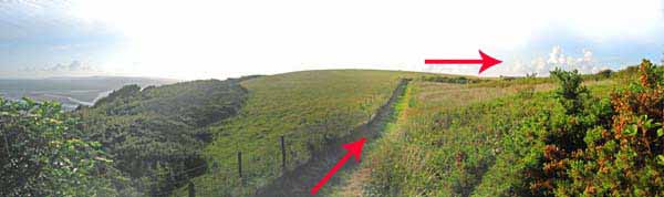
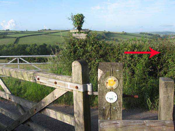
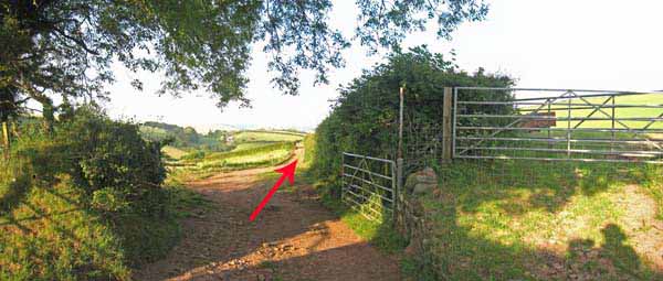
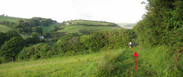
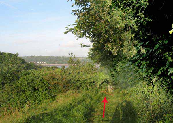
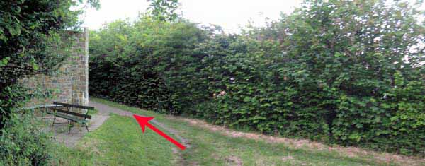
Go through a few gates, continuing straight on until another gate leads back to the cliff path.
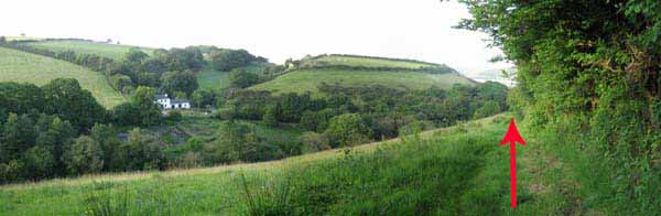
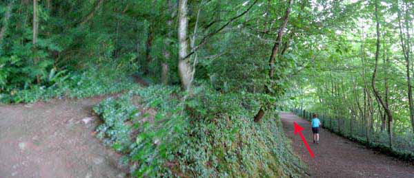
Turn left and descend back to the house by the beach before climbing once more to continue along the cliff path.
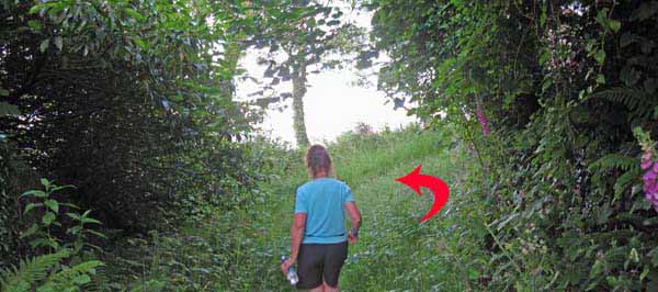
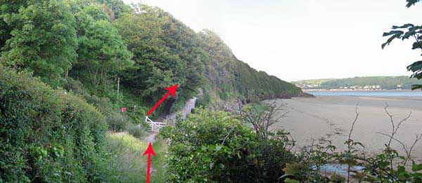
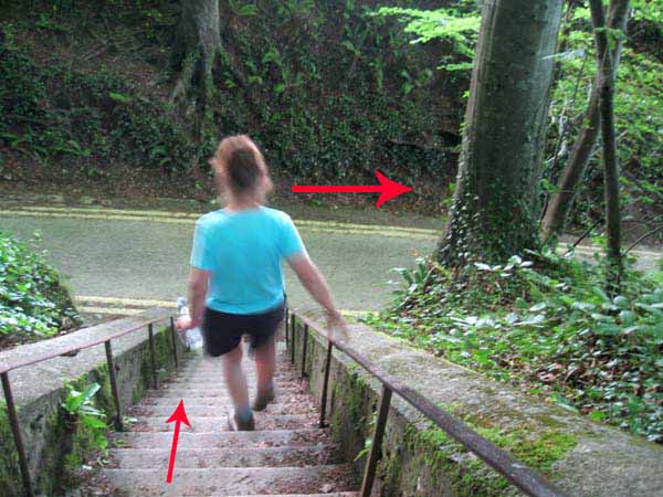
Follow this path for a while then take a right fork down some steps to the road
(at high tide take left fork to car park).
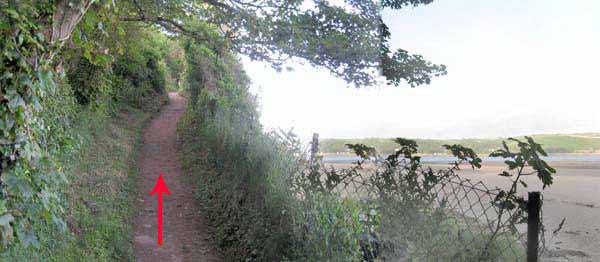
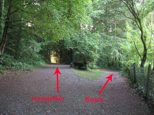
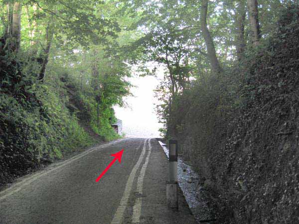
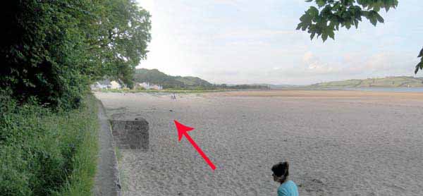
Turn right and go onto the beach.
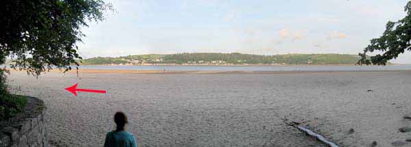
Turn left on the beach to the car park.
Ramblers Cymru and Swansea Ramblers provide these routes but accept no responsibility for those walking them.
If you would like to go on a walk but would prefer to do so with a group of people then click on our Programme section to see what walks we are leading.
We have walks for varying levels of ability and you get the chance to see the countryside in places you might never go by yourself!
This aerial map is resizable and draggable
(Can be reset to original dimensions by refreshing the page)
A 25,000 Ordnance Survey map of the area
can be viewed by clicking on the above 'View Larger Map' option
(applies only if the above is a Bing map, not a Google map )