Walk Description
This walk visits a recently constructed boardwalk in Pant y Sais Nature Reserve then offers walks of varying distances along the Tennant Canal.
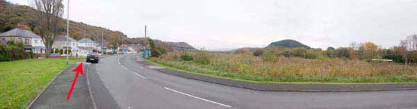
Walk a short distance along New Road in the direction of Skewen until a galvanised fence is seen on the opposite side of the road.
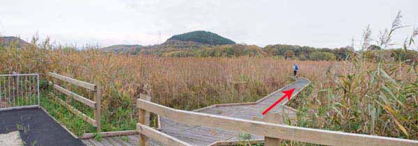
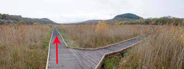
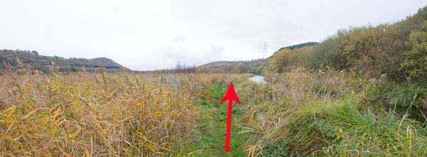
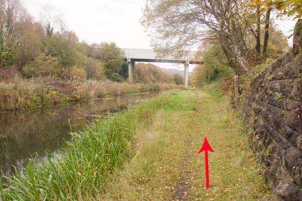
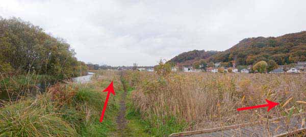
Here follow the boardwalk around the fen, ignoring the right turn. After a while follow the left turn and emerge onto the canal towpath.
(To complete the half mile walk, retrace your steps to the boardwalk junction and turn left, then left again).
Additional 3-4 miles:
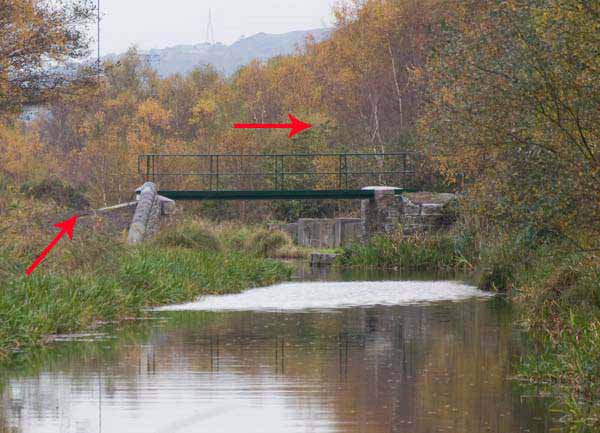
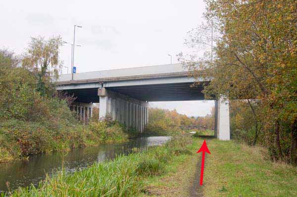
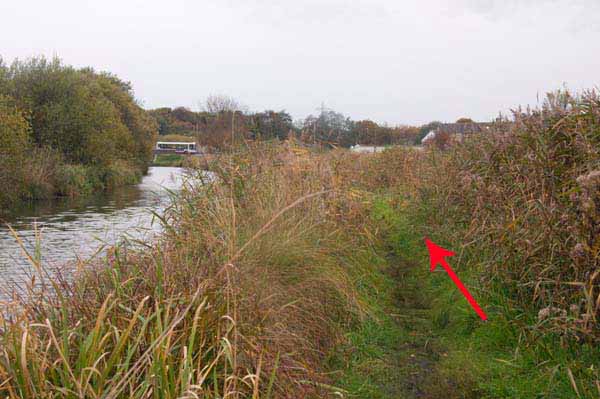
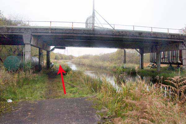
Turn left and follow the canal then cross the pedestrian bridge to the weir.
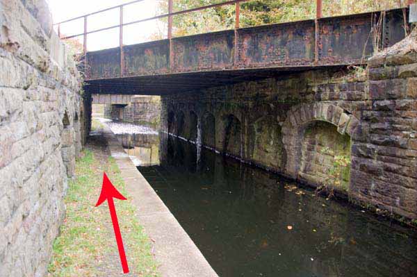
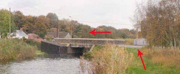
Turn back here to complete a 3 mile walk or continue for another half mile under the M4 flyover to an old canal bridge.
Retrace your steps along the canal.
Either return via the boardwalk or continue along the towpath to the road bridge.
Additional 2 miles:
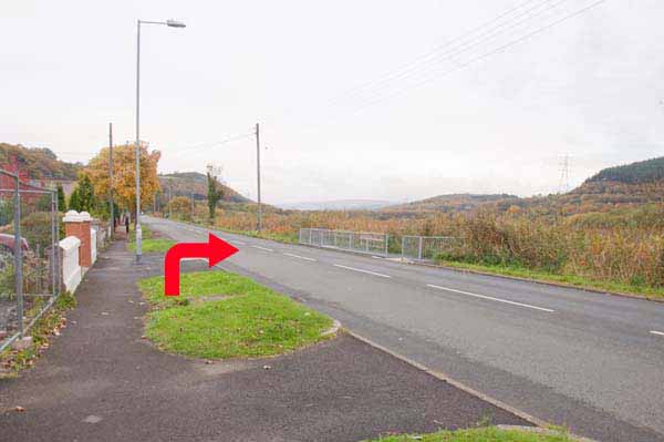
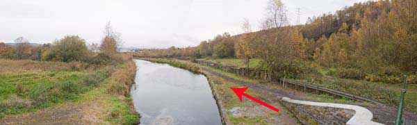
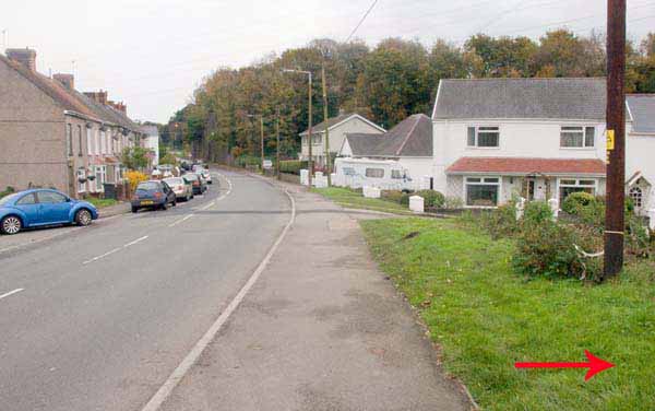
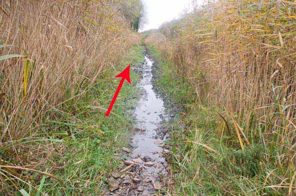
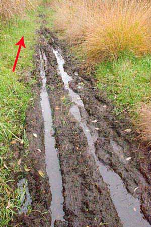
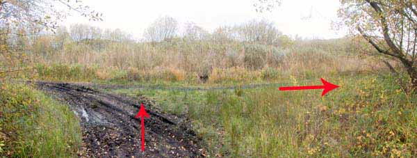
A further 2 mile walk takes you across the road from the B4290 bridge and down onto the left bank of the canal.
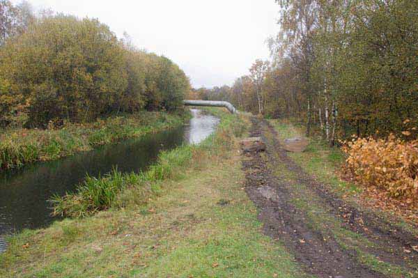
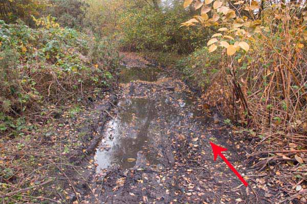
The first and last parts of the towpath are fine but a 100 yard section can be extremely muddy and waterlogged.
You will need to cross this twice so make sure you have good pair of boots and are happy to negotiate this section.
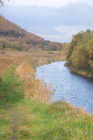
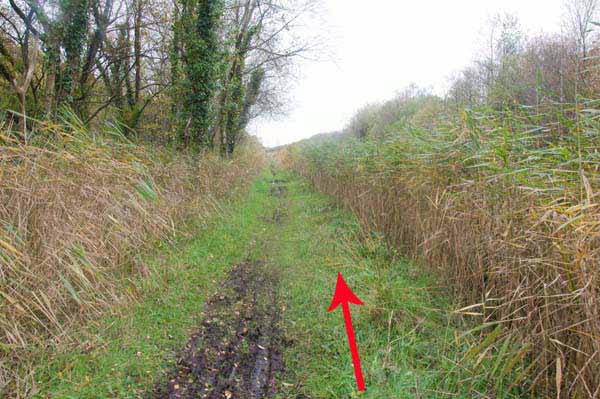
You will be rewarded with an idyllic walk along the canal.
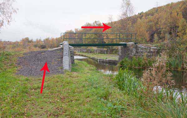
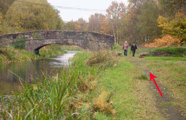
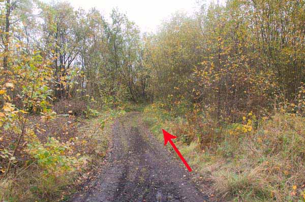
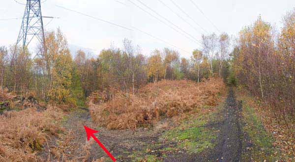
At a ruined stone bridge where two canals meet, the path goes through a wood until it reaches a tarmacadam path.
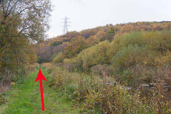
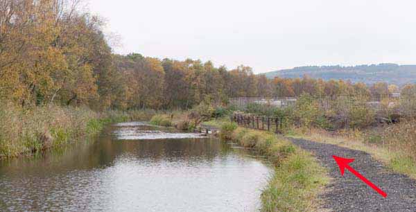
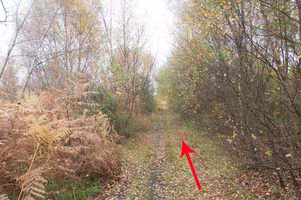
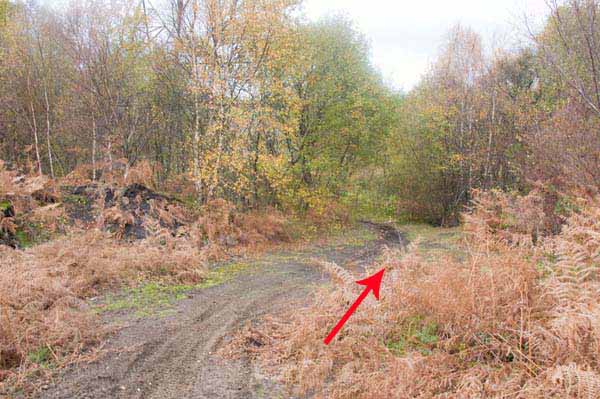
Ignore that path and turn left through a very short muddy section to join the line of an old disused railway.
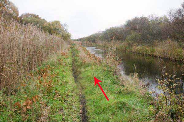
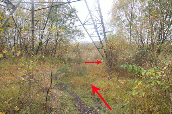
Follow this until a path on the left descends by a pylon to the canal.
Turn right and retrace your steps to the start.
PLEASE NOTE THAT THESE SELF GUIDED WALKS WERE CREATED SOME YEARS AGO AND THINGS WILL HAVE CHANGED ALONG THE WAY.
Ramblers Cymru and Swansea Ramblers provide these routes but accept no responsibility for those walking them.
If you would like to go on a walk but would prefer to do so with a group of people then click on our Programme section to see what walks we are leading.
We have walks for varying levels of ability and you get the chance to see the countryside in places you might never go by yourself!
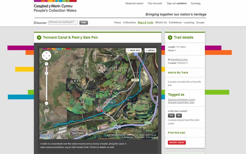
This aerial map is resizable and draggable
(Can be reset to original dimensions by refreshing the page)
A 25,000 Ordnance Survey map of the area
can be viewed by clicking on the above 'View Larger Map' option
(applies only if the above is a Bing map, not a Google map )