Walk Description
A 2 mile walk around a hidden beauty spot and haven for bird watchers.
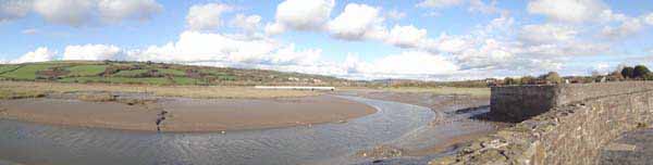
Stroll beside canal and along sea wall, listen to curlew and view beauty of Gwendraeth Estuary.
Extend walk to 5 miles with a riverside walk & nature reserve.
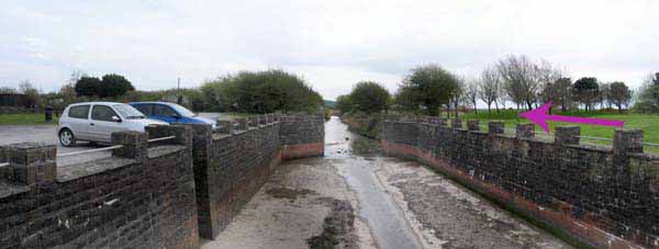
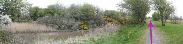
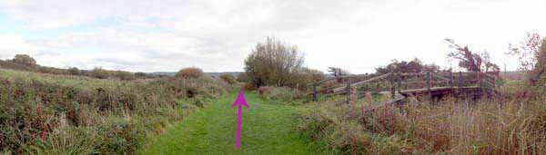
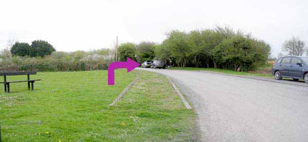
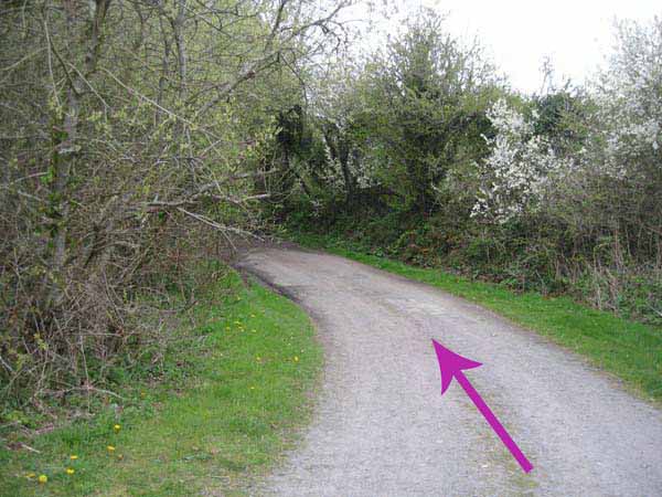
From the car park, cross to other side of the canal and walk the canal path.
Cross at next bridge and turn right to continue on other side of canal.
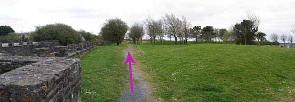
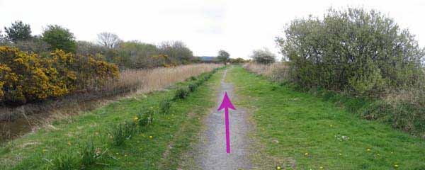
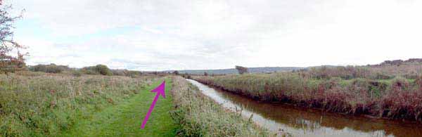
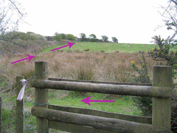
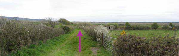
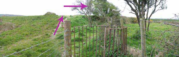
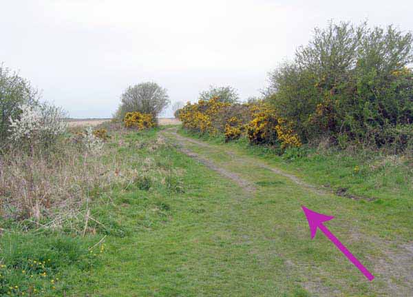
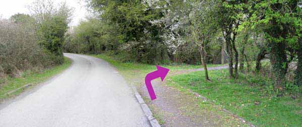
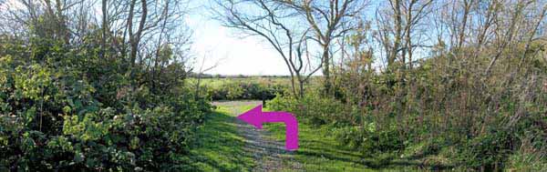
At end of canal go over stile and turn left.
Follow hedgerow to kissing gate next to railway bridge.
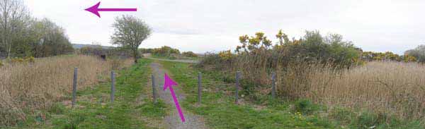
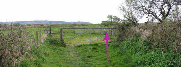
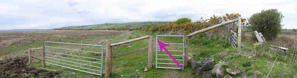
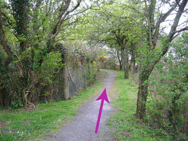
Turn right along green lane to double gates.
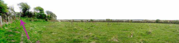
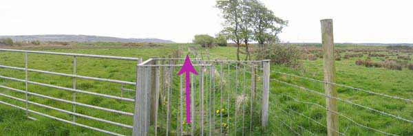
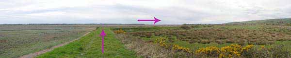
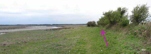
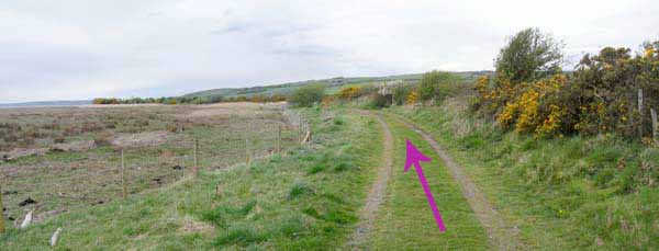
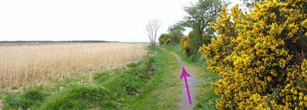
Continue straight until sea wall is reached.
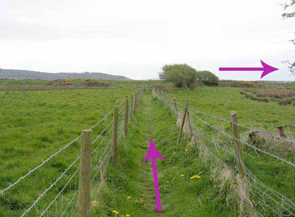
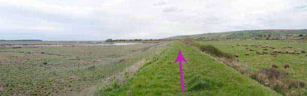
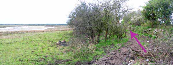
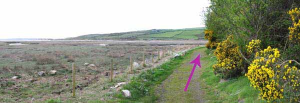
Turn right and follow sea wall to its end.
Exercise care after here as high tides can cover lower sections of path!
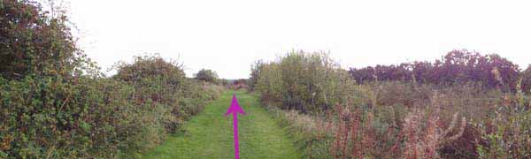
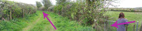
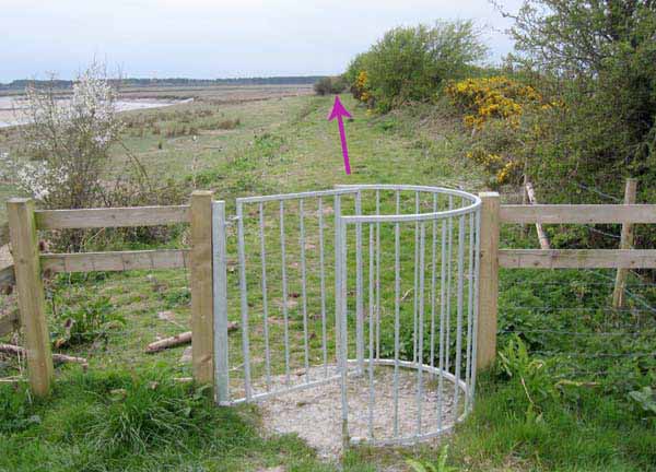
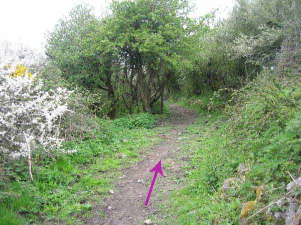
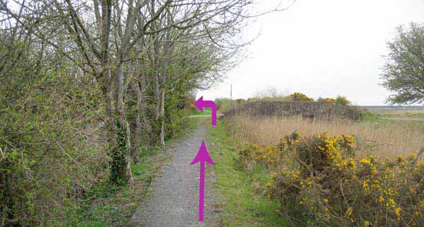
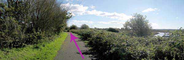
Follow hedgerow into narrow wood.
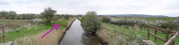
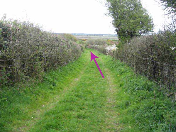
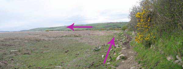
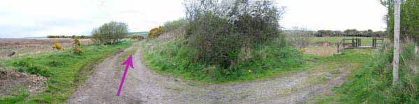
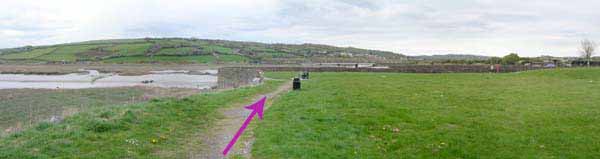
After the wood, follow the broad path straight on, ignoring access points for canal on right.
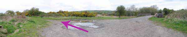
Broad path bears left and curves back to Quay.
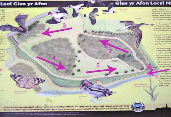
An optional extra 3 mile visit to Glan yr Afon Nature Reserve starts by walking inland from Quay.
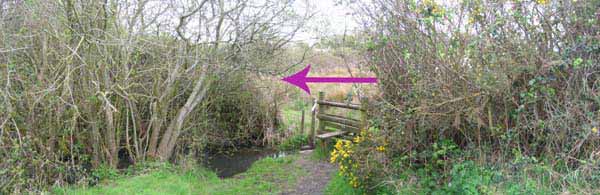
Follow road a few yards then turn right to the canal path.
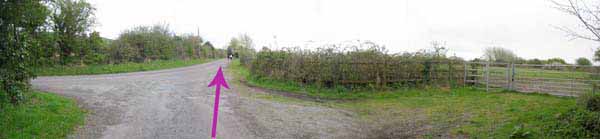
At first bridge turn left into a lane and follow this to the road.
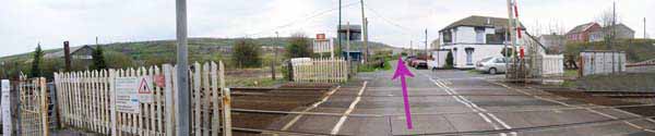
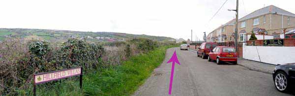
Turn right and continue on the road to cross the railway line.
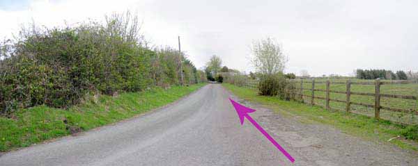
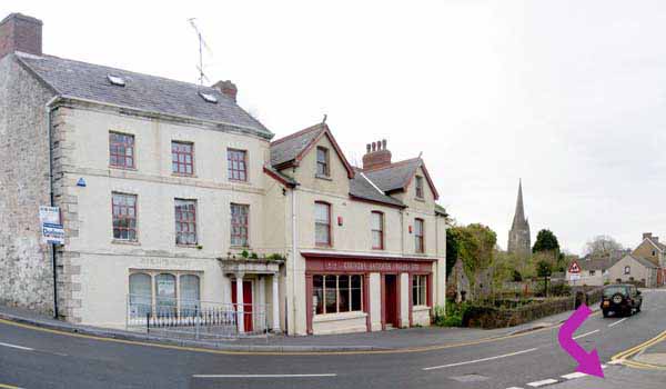
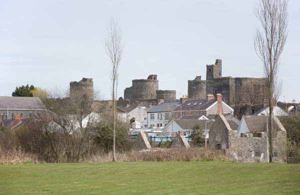
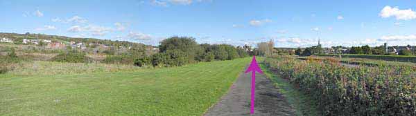
Go straight ahead on Hillfield Villas, past terrace houses with occasional views of castle and church spire.
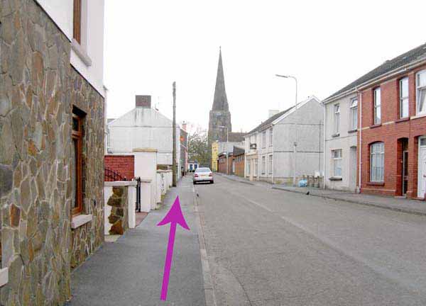
At end of road turn left in direction of spire.
Turn left into Bridge Road where refreshments are available. Watch out for Blue Plaques.
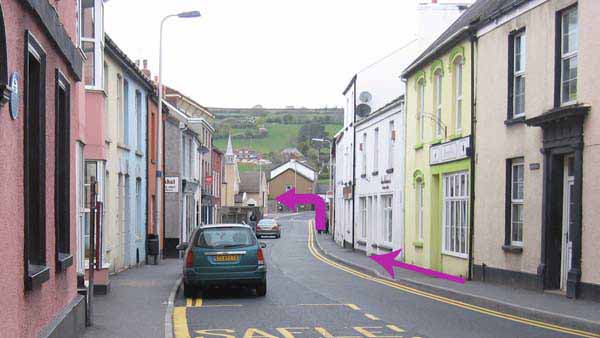
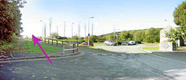
Go over road bridge and turn left into Glan yr Afon Car Park opposite 'Steam Bakery'.
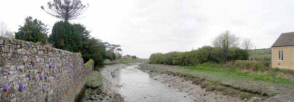
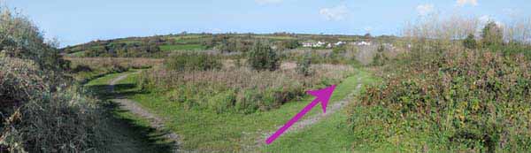
Follow the cycle path on left of car park onto riverside walk.
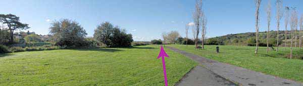
At reserve board follow gravel path right then take right fork.
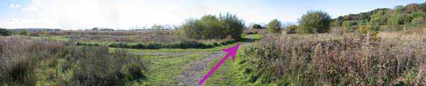
Ignore left path and continue until tarmacadam riverside cycle path is reached.
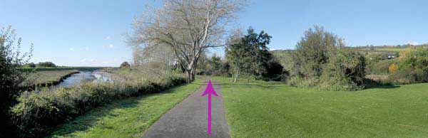
Turn left along path noting views of castle and church.
In Kidwelly re-trace route back to Quay.
Ramblers Cymru and Swansea Ramblers provide these routes but accept no responsibility for those walking them.
If you would like to go on a walk but would prefer to do so with a group of people then click on our Programme section to see what walks we are leading.
We have walks for varying levels of ability and you get the chance to see the countryside in places you might never go by yourself!
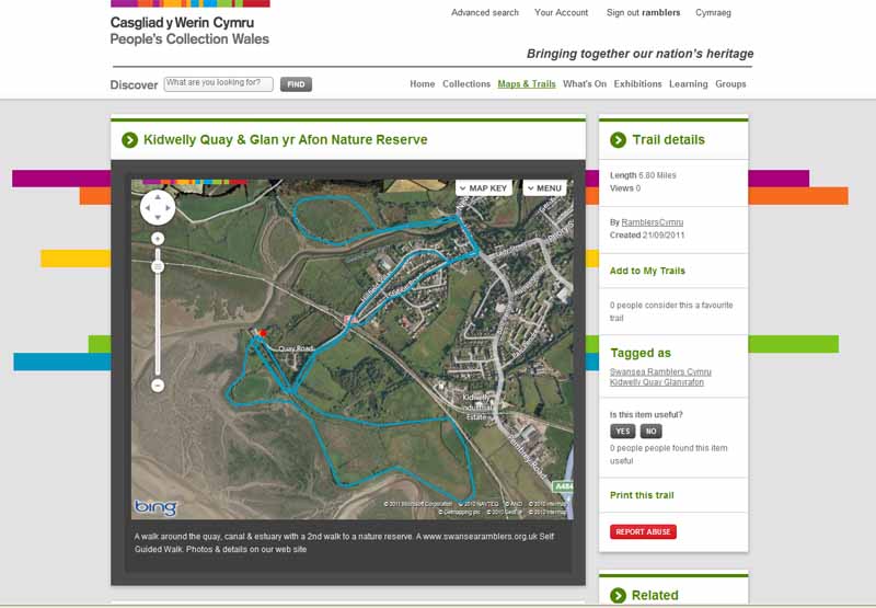
This aerial map is resizable and draggable
(Can be reset to original dimensions by refreshing the page)
A 25,000 Ordnance Survey map of the area
can be viewed by clicking on the above 'View Larger Map' option
(applies only if the above is a Bing map, not a Google map )