Walk Description
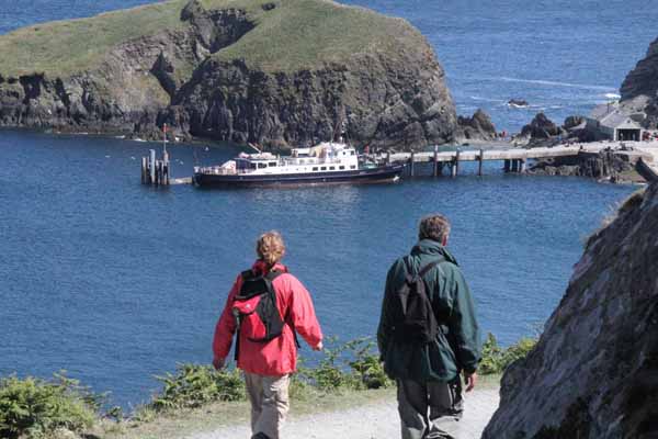
Visitors have an average of two hours on Lundy before the ship makes the return journey so you need to ensure you can complete the walk in the time available.
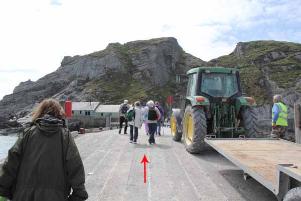
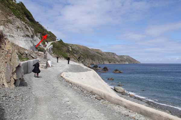
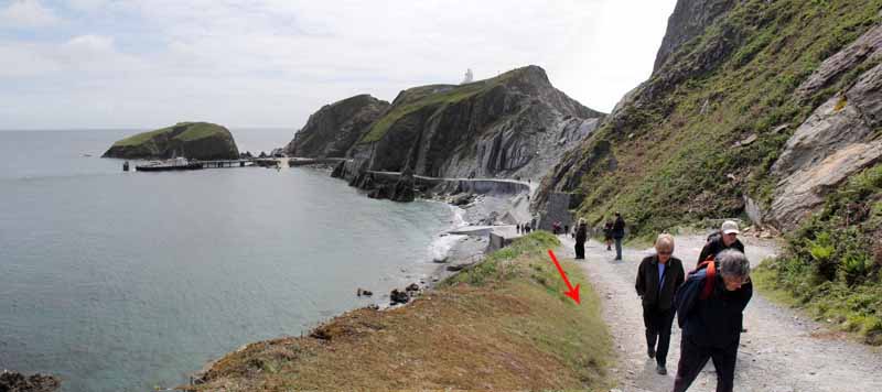
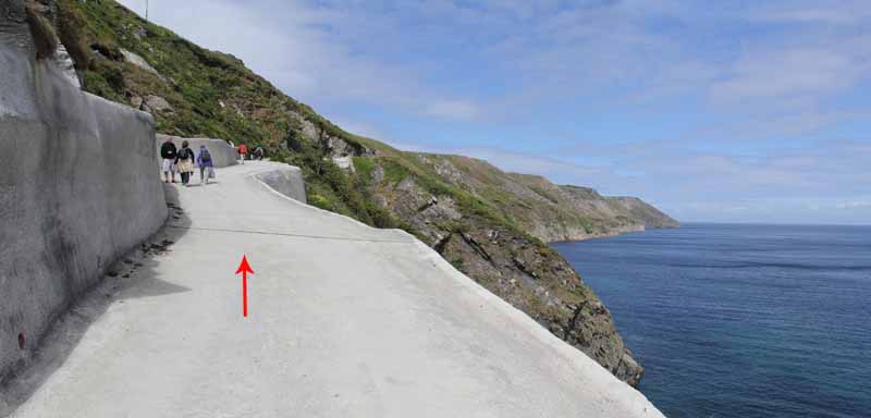
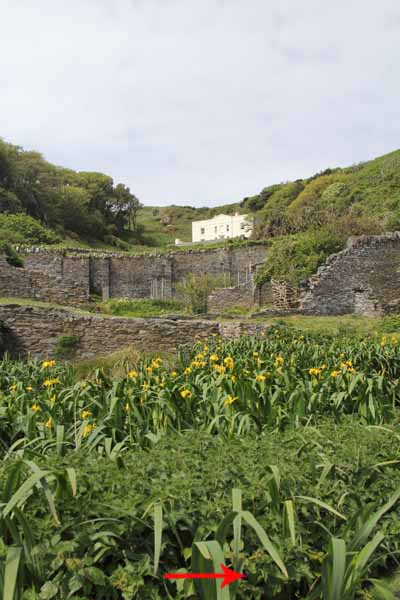
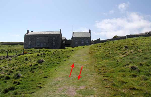
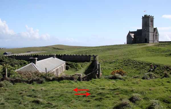
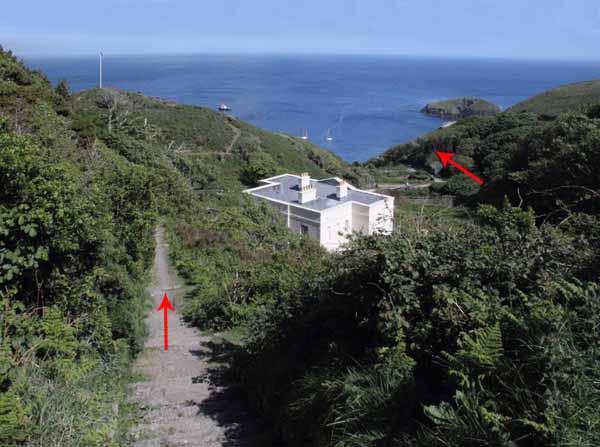
Ascend the road from the ship until a large white house comes into view.
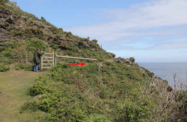
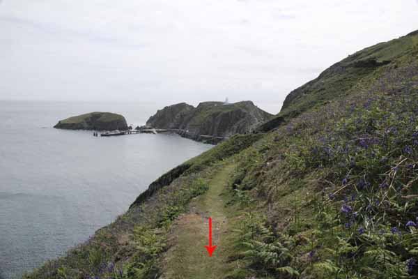
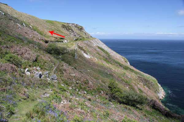
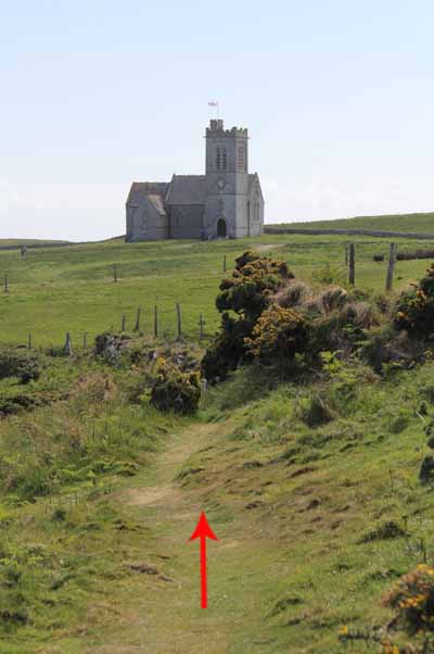
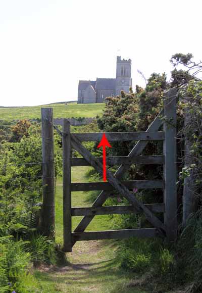
Before reaching the house turn right through a gate onto the cliff coast path.
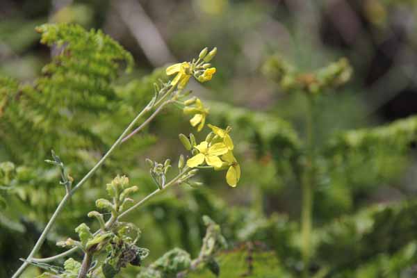
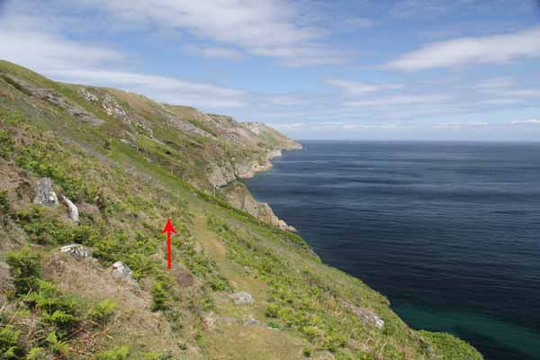
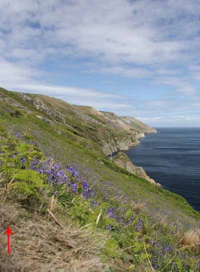
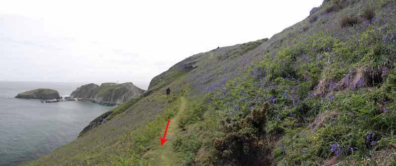
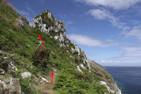
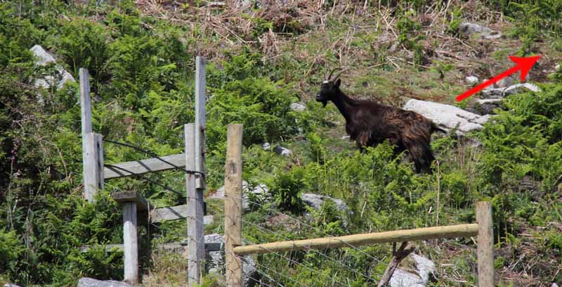
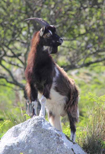
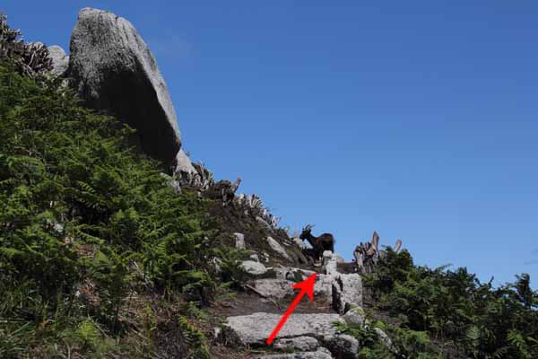
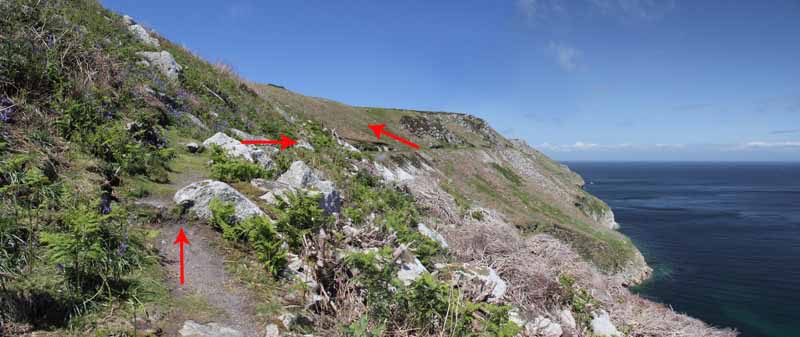
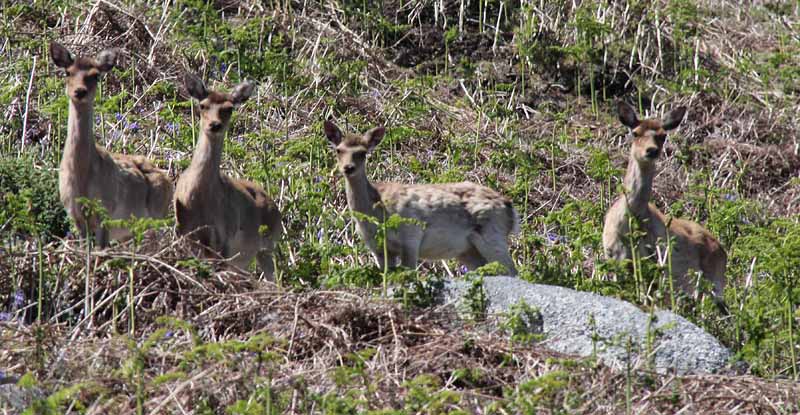
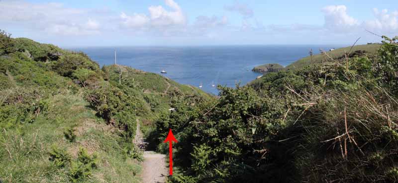
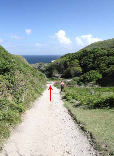
The path undulates along the cliff and can be rough in places with stiles to cross. Bluebells cover the slopes in early summer. Watch out for herds of goats and deer.
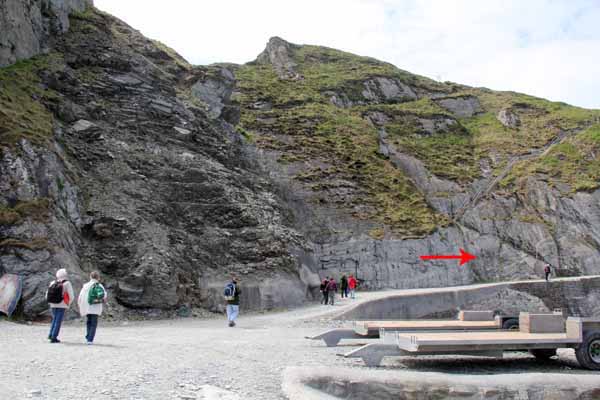
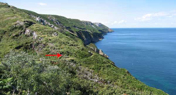
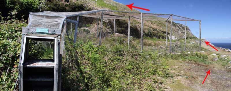
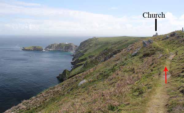
The track passes over abandoned granite workings to a wider area with a very large wooden trap used to ring the visiting birds.
Check your remaining time at this point to judge how long your return journey would take.
If time permits you could continue a little way along the path to the quarry where the memorial to John Pennington Harman VC is attached to the quarry face.
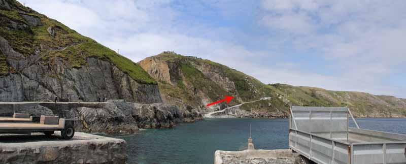
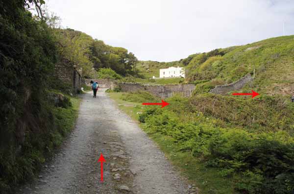
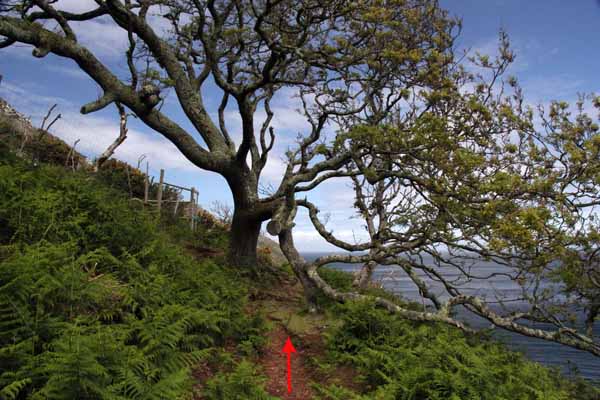
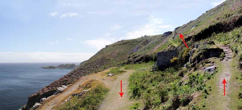
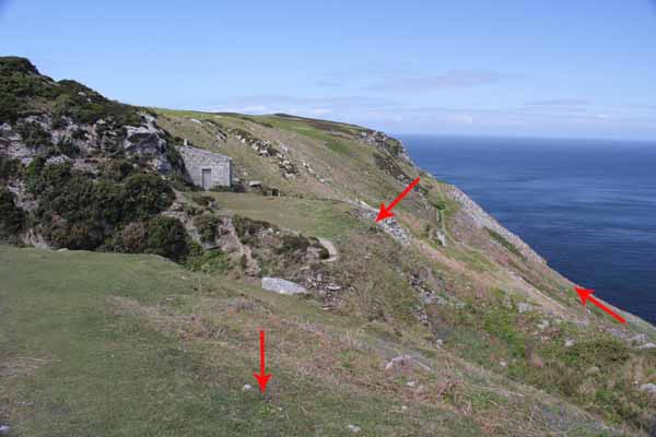
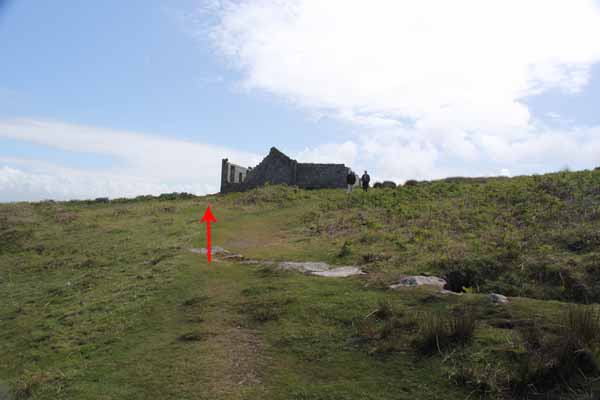
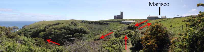
Just after the bird trap on a hairpin bend is the return path that ascends to the top of the cliff and goes past a small stone building, a hidden pond and granite ruin with some fine stonework.
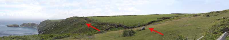
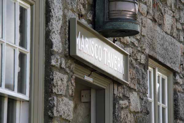
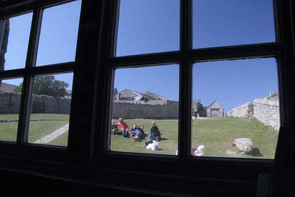
After the ruin you can either follow the coast path at the edge of the fields or head inland to the wide dirt track road, turning left on the road and following it to the Marisco Tavern with the lighthouse on your right.
If you take the coast path by the hedge, follow this to a couple of gates and you will be above the white house.
Time permitting, go right, through the last gate onto open grassland to the Marisco Tavern.
The return journey is back to this gate and descends the path behind the white house to pick up the road you originally used from the jetty.
Ramblers Cymru and Swansea Ramblers provide these routes but accept no responsibility for those walking them.
If you would like to go on a walk but would prefer to do so with a group of people then click on our Programme section to see what walks we are leading.
We have walks for varying levels of ability and you get the chance to see the countryside in places you might never go by yourself!
This aerial map is resizable and draggable
(Can be reset to original dimensions by refreshing the page)
A 25,000 Ordnance Survey map of the area
can be viewed by clicking on the above 'View Larger Map' option
(applies only if the above is a Bing map, not a Google map )