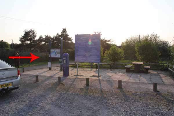
Walk Description
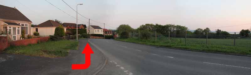
Take the path behind the display then turn right to the B4297. Cross and turn left.
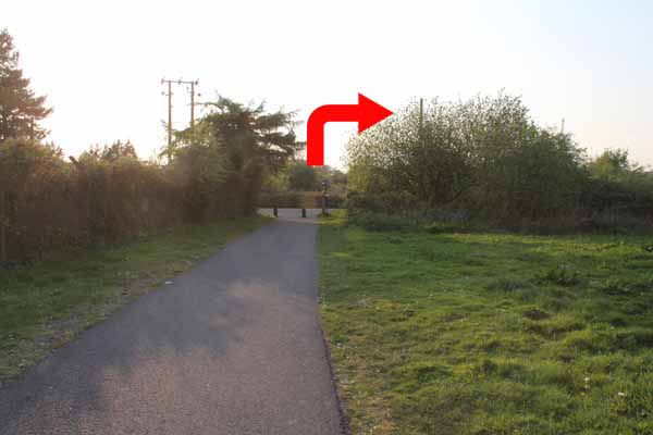
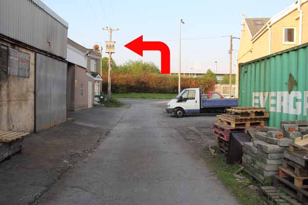
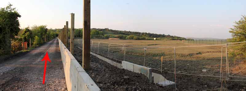
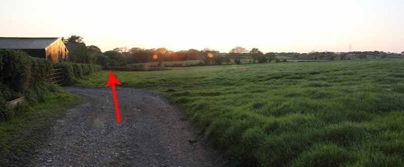
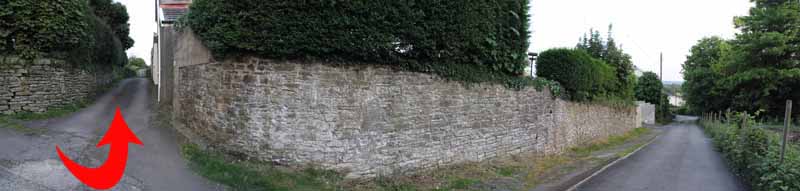
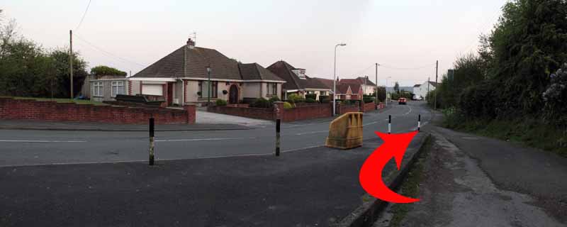
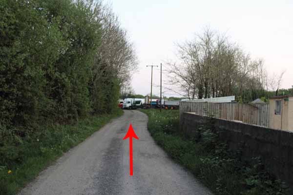
Turn right after metal fencing onto a track.
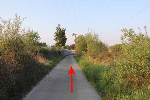
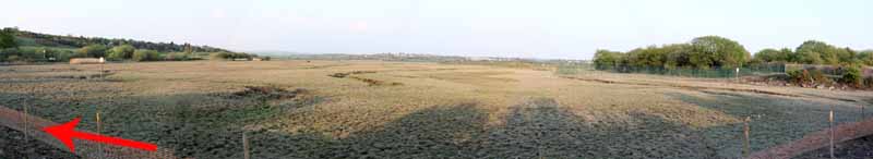
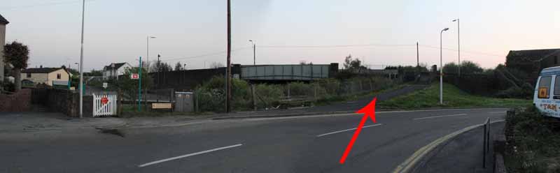
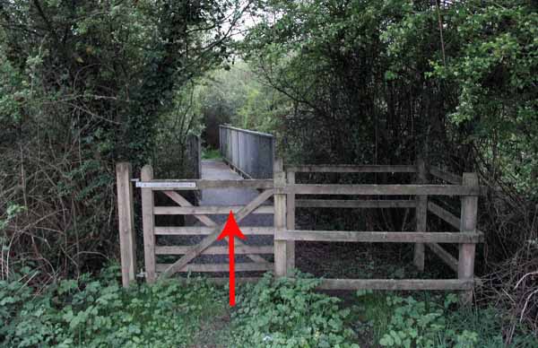
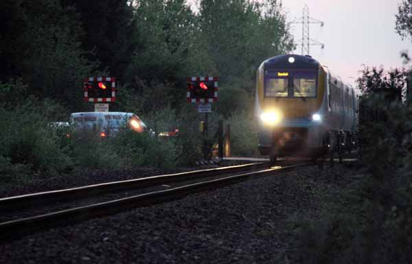
Continue straight across the railway line to the footpath behind the house which eventually emerges into a field.
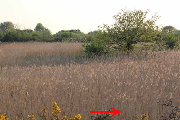
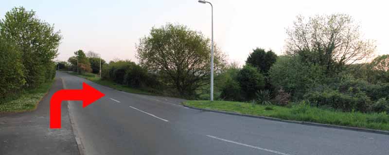
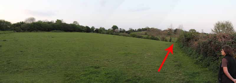
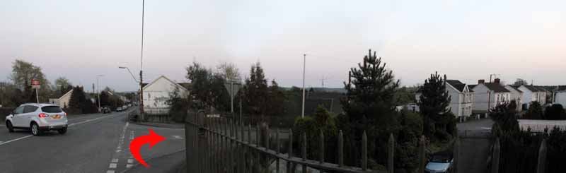
Follow the hedgerow and turn left at the minor road.
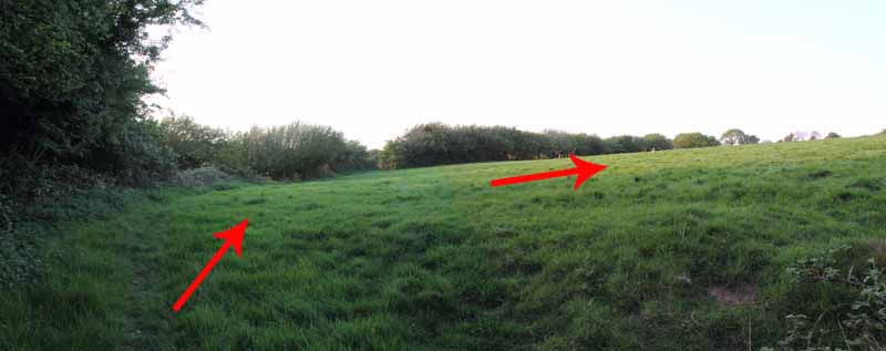
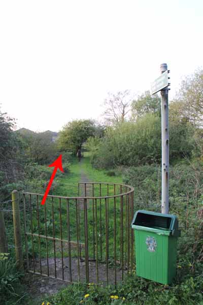
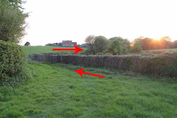
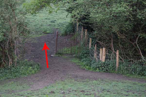
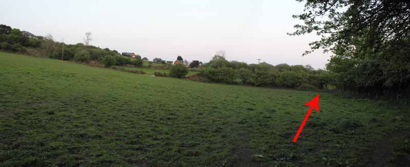
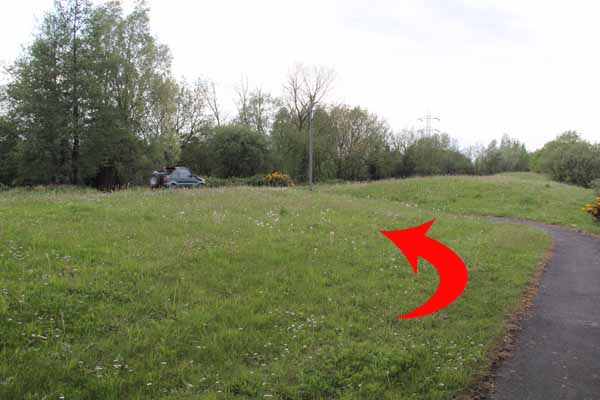
After a while turn right through kissing gates then turn right and make for the hedge.
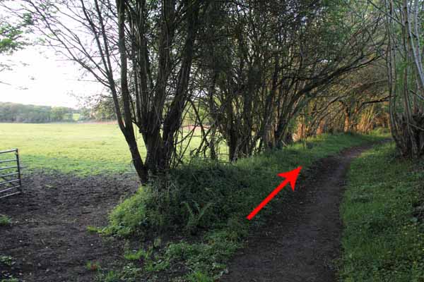
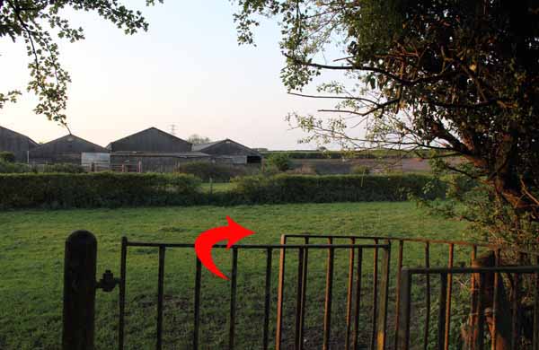
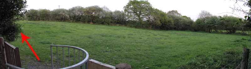
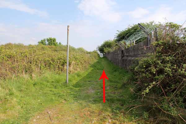
Turn left and follow the hedge through another field to a kissing gate then turn left.
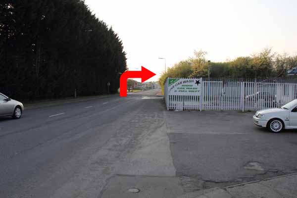
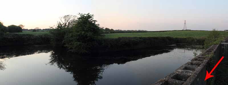
At a small reservoir turn right onto the road then left at the junction.
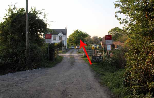
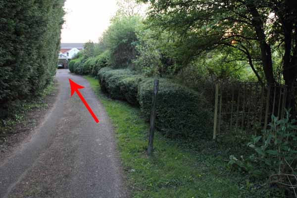
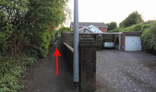
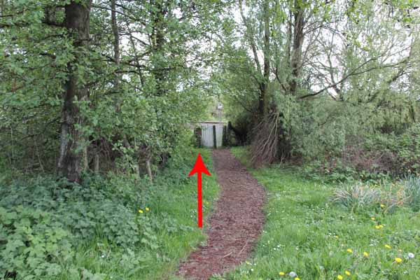
A short distance on the right is what looks like a private drive but the footpath goes down it.
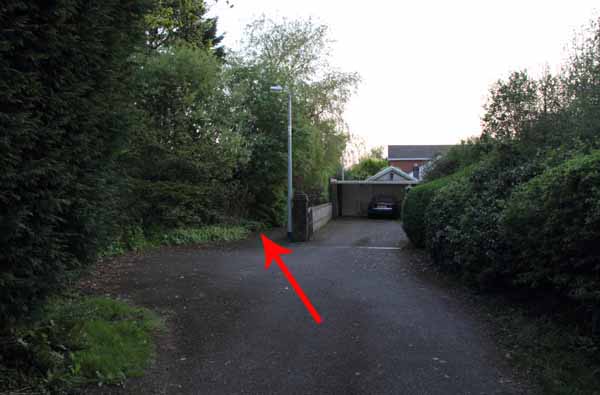
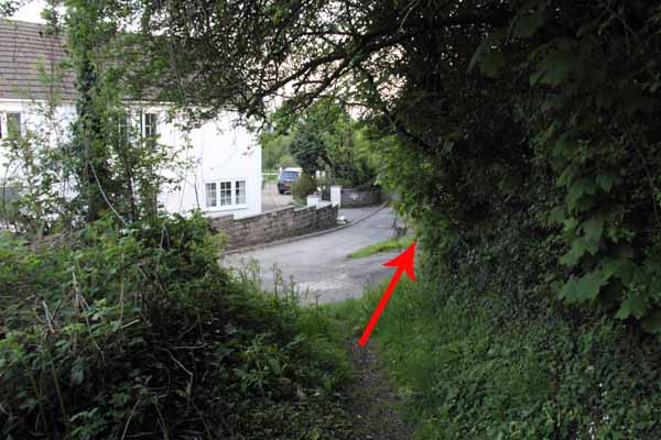
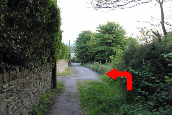
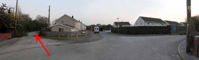
Bear left alongside the house and descend to a road.
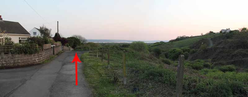
Turn right uphill on the path which shortly rejoins that road.
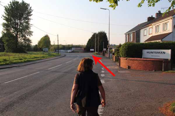
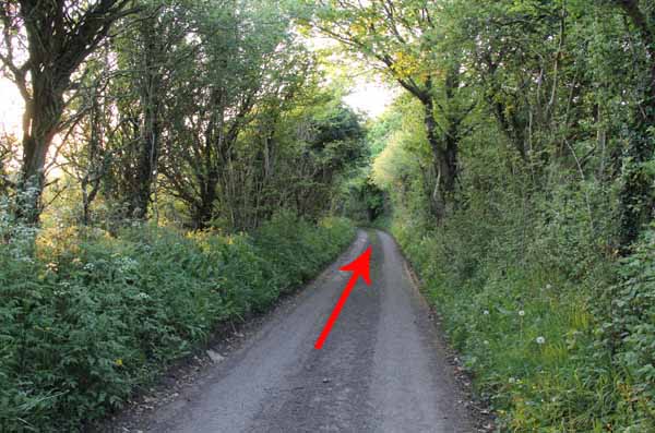
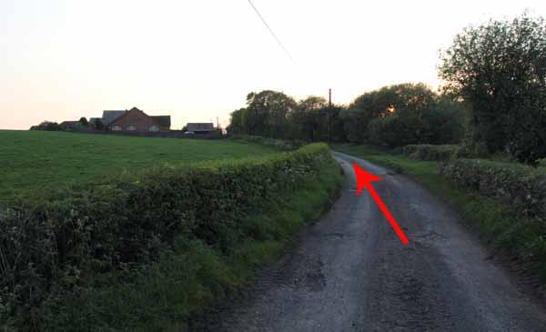
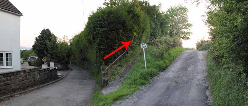
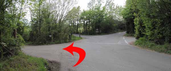
Continue on the road, turning left at the junction.
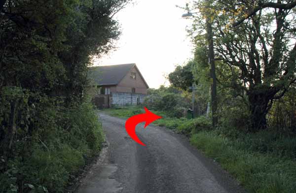
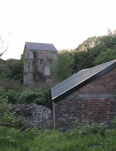
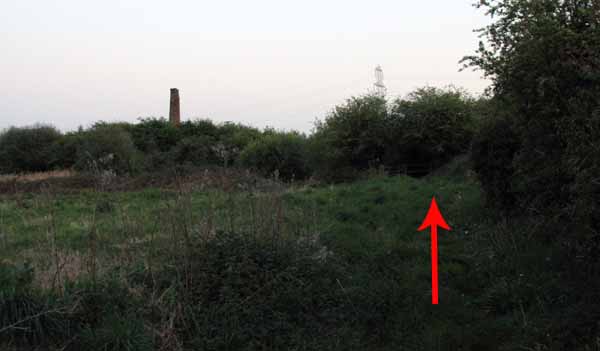
Watch on the right for an old tall building.
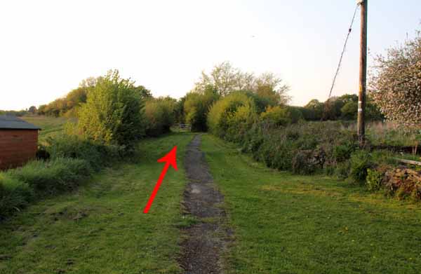
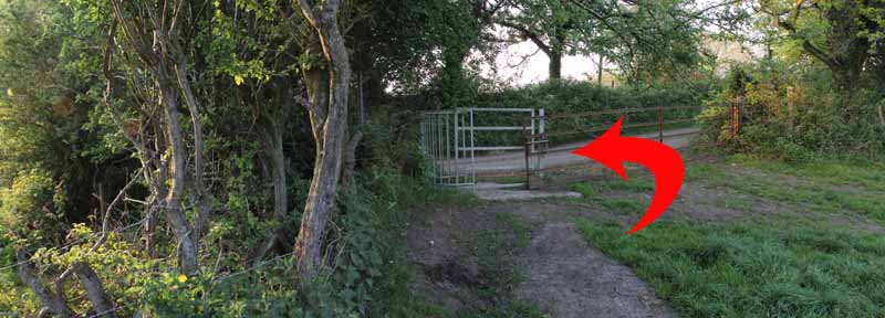
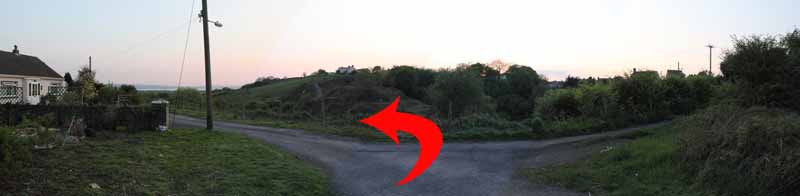
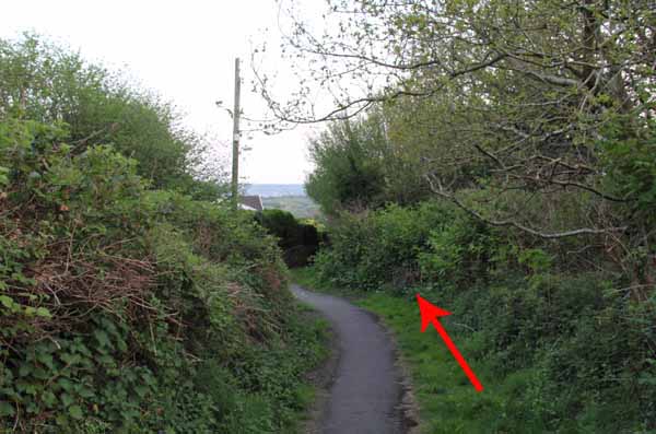
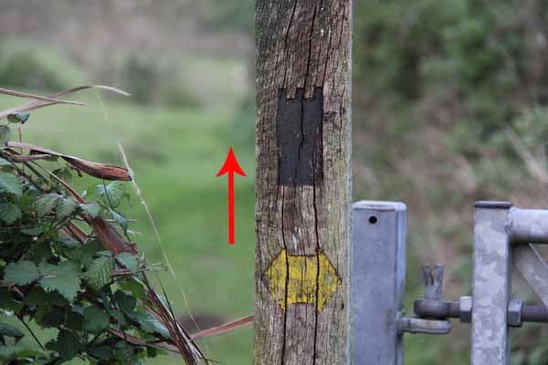
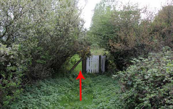
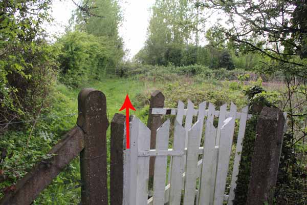
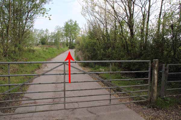
Here turn left to a gate and continue straight on past kissing gates.
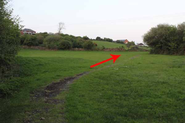
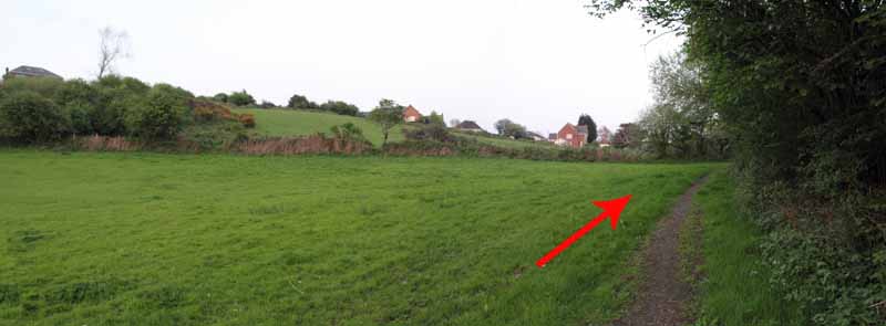
The path continues diagonally across a field and to the road.
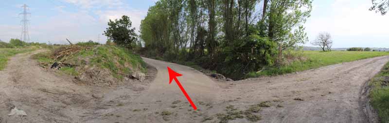
Turn downhill to the railway station, cross the B4297 into Berwick Road and enter a farm track just before Berwick Park.
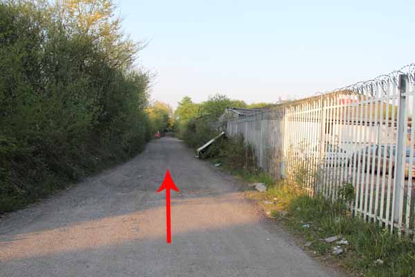
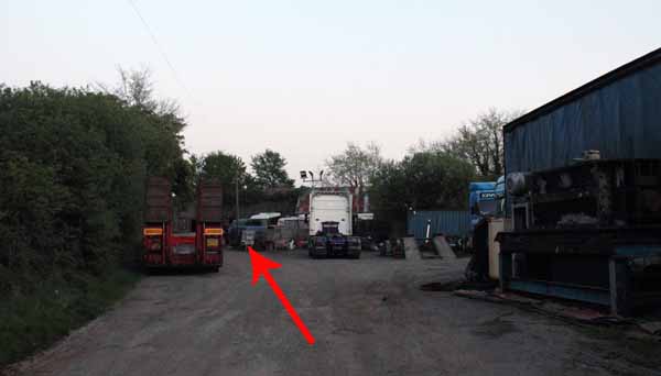
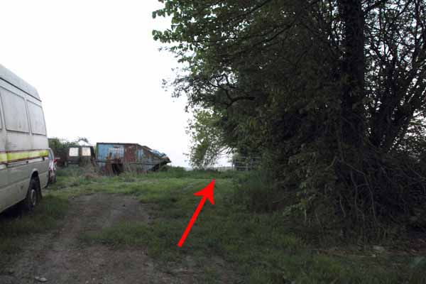
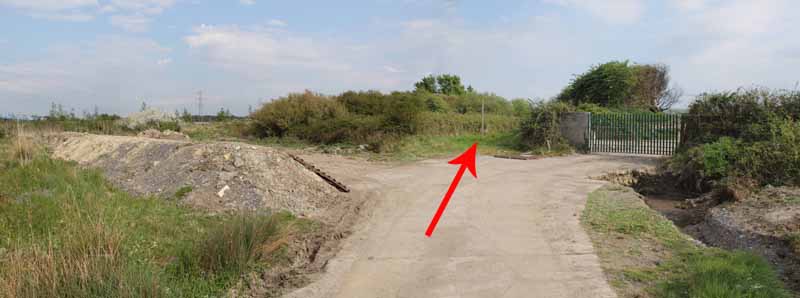
Go past old lorries and between farm buildings.
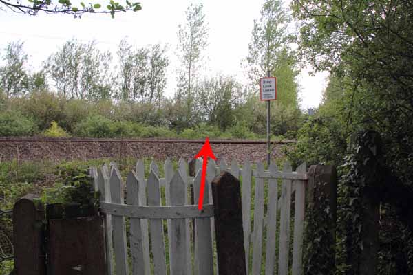
Follow the hedgerow straight to the very busy A484 and railway line. Take care crossing both.
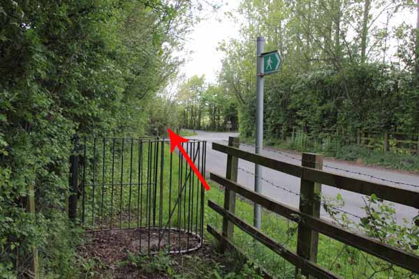
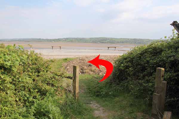
At the road, turn left through a gate and follow to the coast.
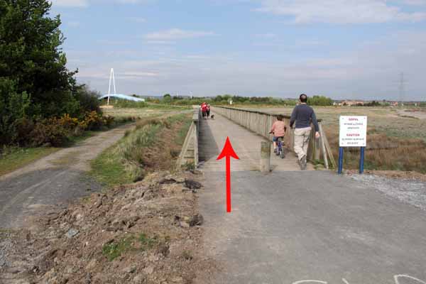
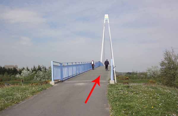
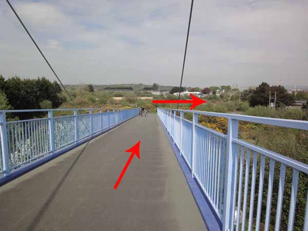
Turn left and cross the Bridge to finish.
Ramblers Cymru and Swansea Ramblers provide these routes but accept no responsibility for those walking them.
If you would like to go on a walk but would prefer to do so with a group of people then click on our Programme section to see what walks we are leading.
We have walks for varying levels of ability and you get the chance to see the countryside in places you might never go by yourself!
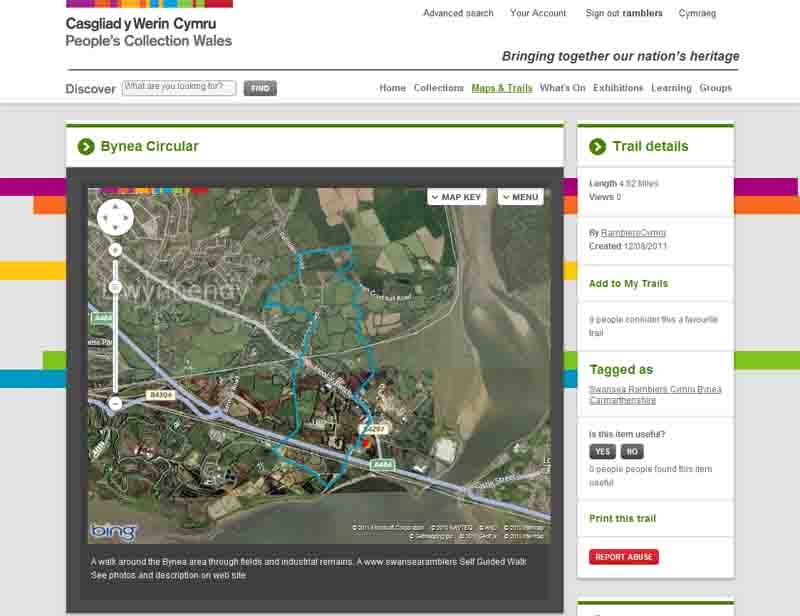
This aerial map is resizable and draggable
(Can be reset to original dimensions by refreshing the page)
A 25,000 Ordnance Survey map of the area
can be viewed by clicking on the above 'View Larger Map' option
(applies only if the above is a Bing map, not a Google map )