Walk Description
There is more to Clyne Country Park than the cycle path!
This walk explores some of the other walking opportunities.
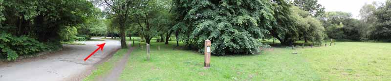
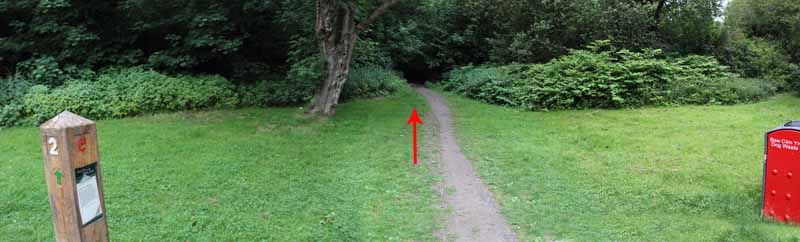
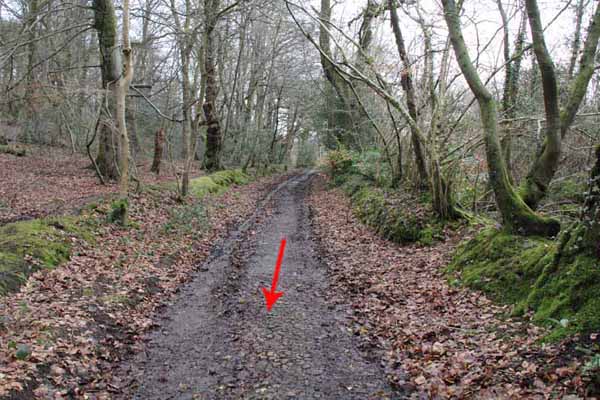
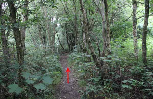
Follow the path to the left of the car park, past the playground to the woods where it descends to the old tram road.
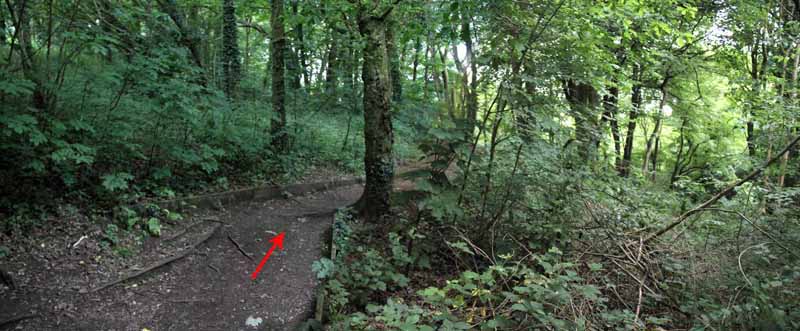
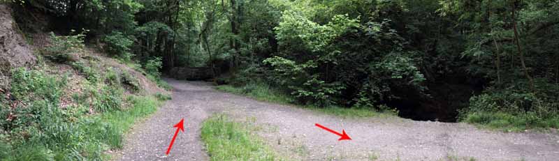
Turn right on the riverside walk.
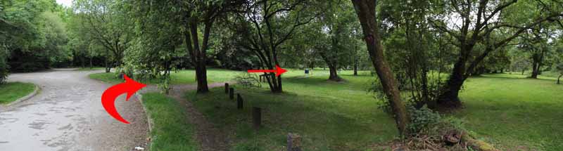
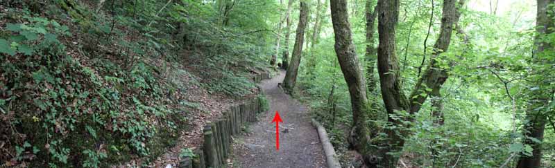
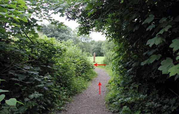
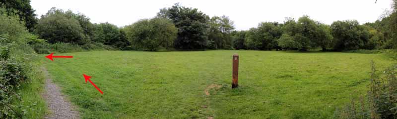
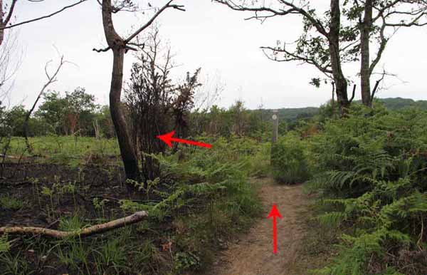
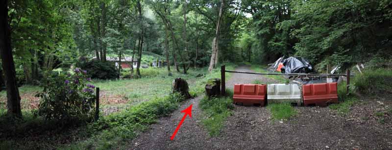
At the next junction go right and uphill to the open grassland.
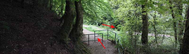
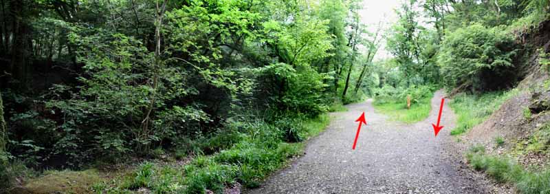
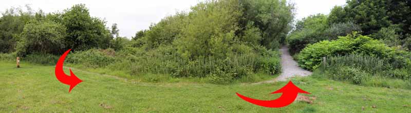
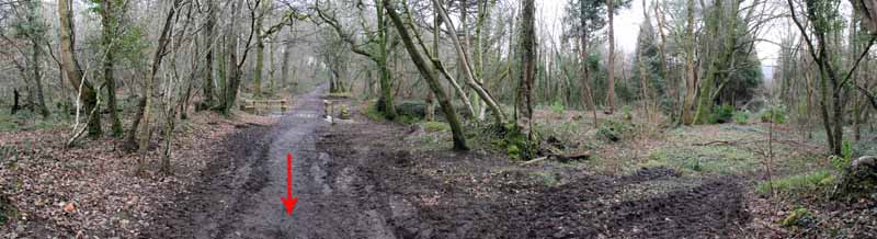
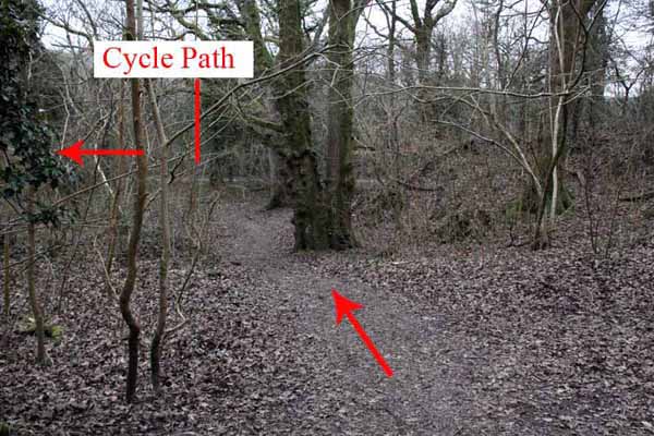
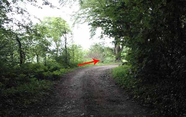
Turn left and left again to pick up the gravel bridleway.
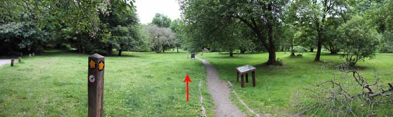
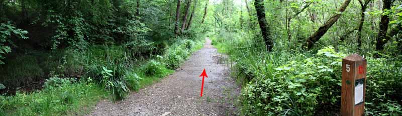
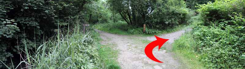
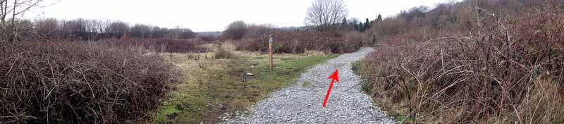
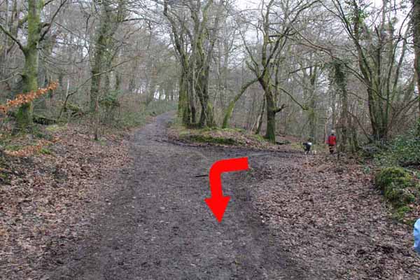
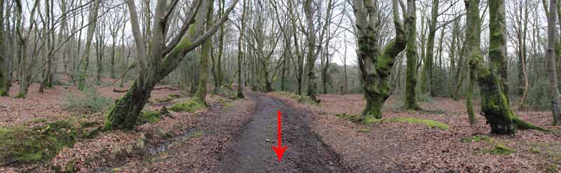
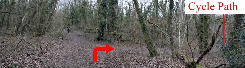
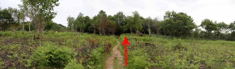
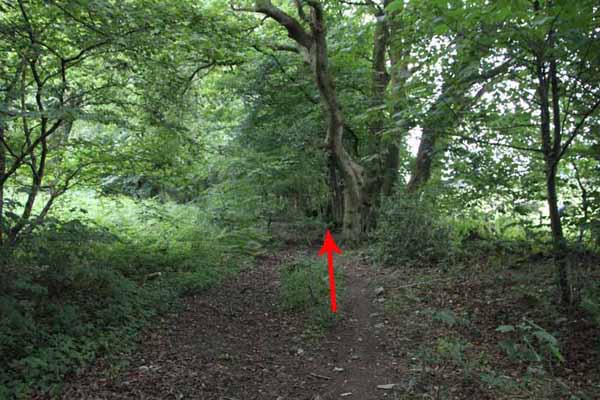
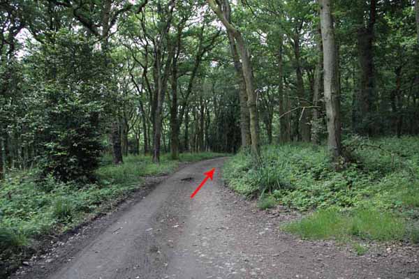
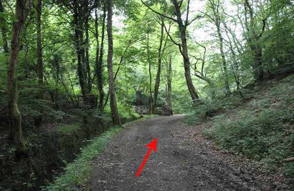
Follow this long path into woodland and turn left at the wooded junction onto the broad track.
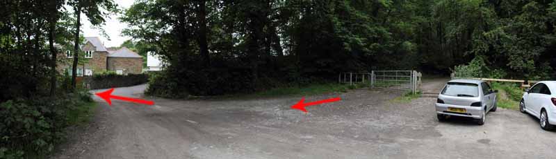
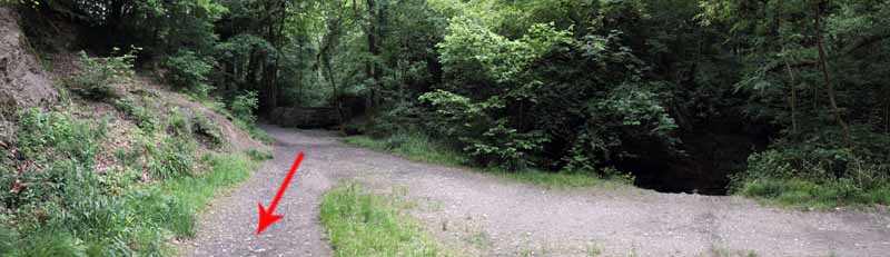
Continue straight on until you leave the park at Clyne Valley Cottages.
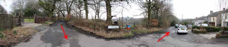
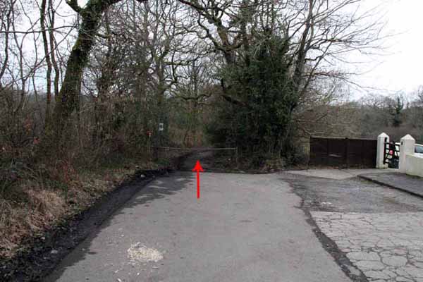
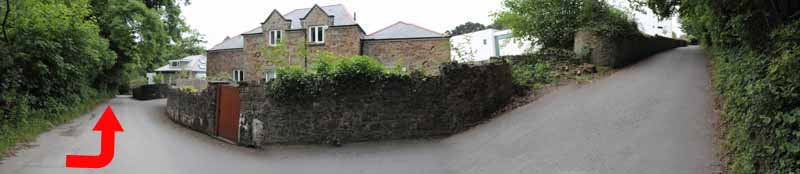
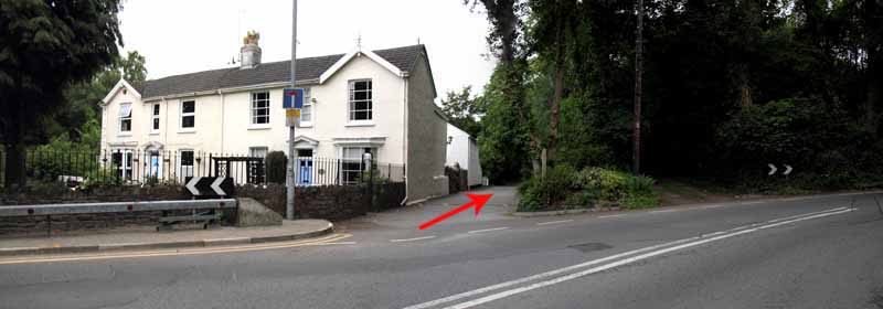
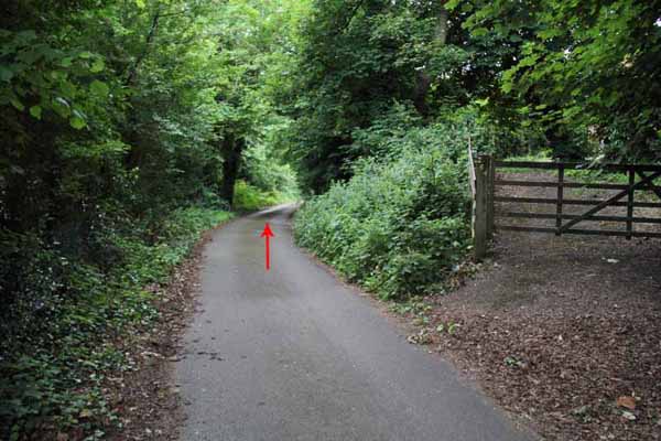
Turn left and at the end of the road is a lane leading to the railway bridge.
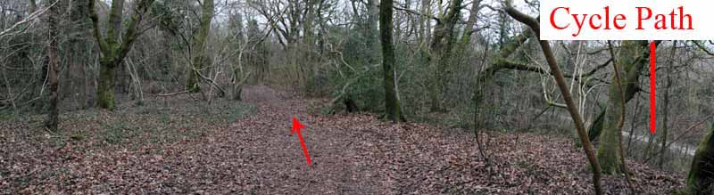
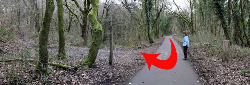
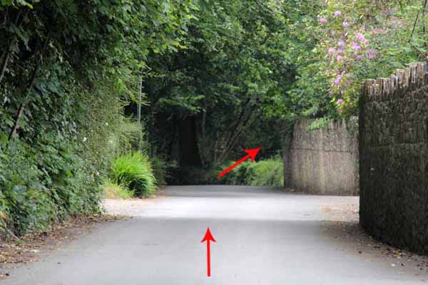
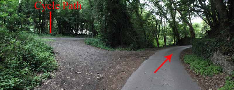
Turn left and follow the path parallel with the cycle path then turn right to join it.
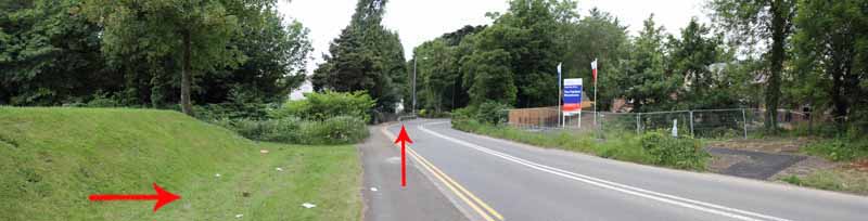
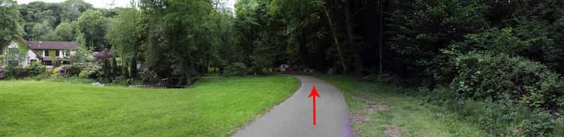
Turn left and walk the cycle path for a short distance watching on the right for the bridleway up onto the hill.
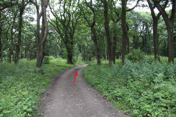
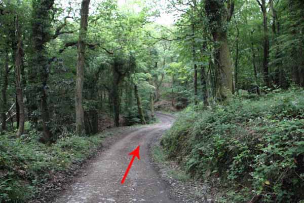
Follow this bridleway into open bracken then enter the woods following this well used path.
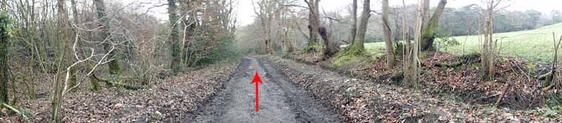
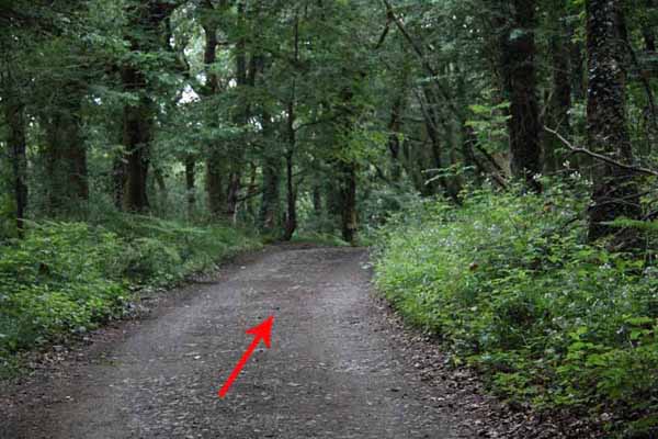
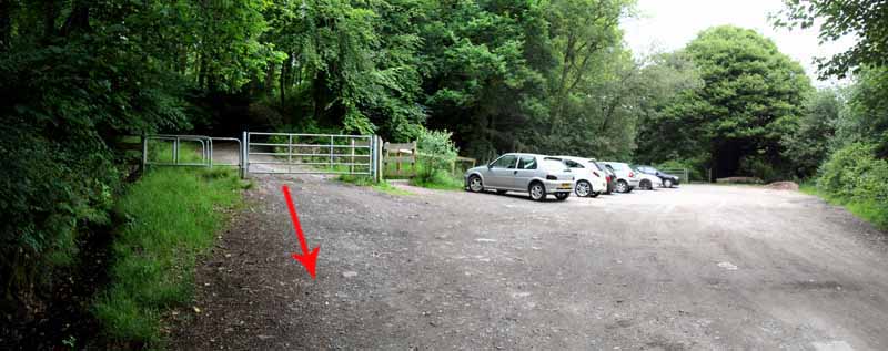
At the lane turn right and follow it some way to a small car park.
Descend Mill Lane and either continue down this road or enter Clyne Gardens to reach Blackpill.
Turn left on the main road and pass through the pay & display car park to exit on Derwen Fawr Road.
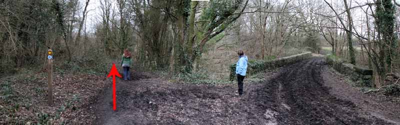
Turn left and at the bend by semi detached houses follow the footpath along the lane to the Clyne Bridge.
Turn right and return to the start.
Ramblers Cymru and Swansea Ramblers provide these routes but accept no responsibility for those walking them.
If you would like to go on a walk but would prefer to do so with a group of people then click on our Programme section to see what walks we are leading.
We have walks for varying levels of ability and you get the chance to see the countryside in places you might never go by yourself!
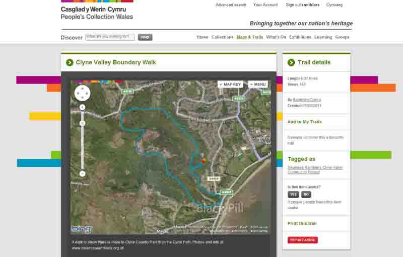
This aerial map is resizable and draggable
(Can be reset to original dimensions by refreshing the page)
A 25,000 Ordnance Survey map of the area
can be viewed by clicking on the above 'View Larger Map' option
(applies only if the above is a Bing map, not a Google map )