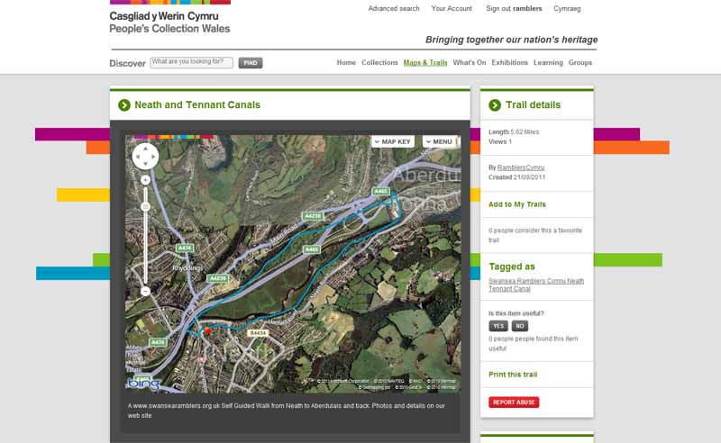
Walk Description
Today's walk follows the Tennant Canal north to Aberdulais then returns south on the Neath Canal.
Alternatively a bus can be taken to Aberdulais to do half the walk.
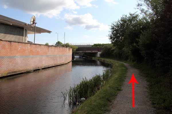
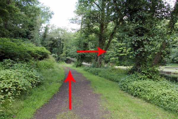
Cross the canal footbridge to the towpath and turn left.
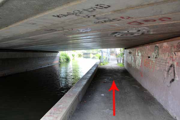
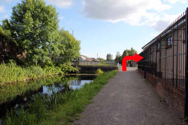
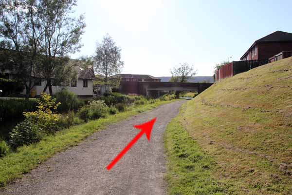
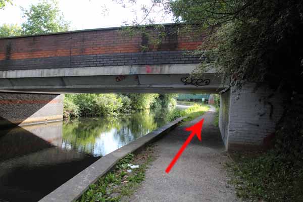
Go under the bridge and where the canal disappears under the road turn right.
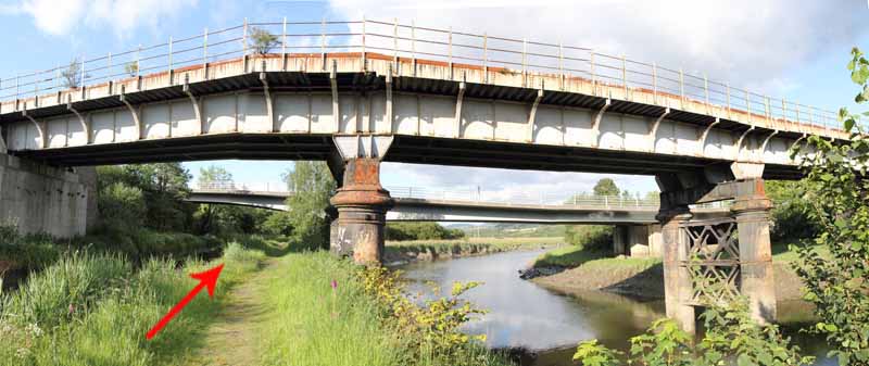
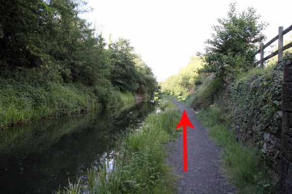
Cross the River Neath then descend right onto the Tennant Canal towpath.
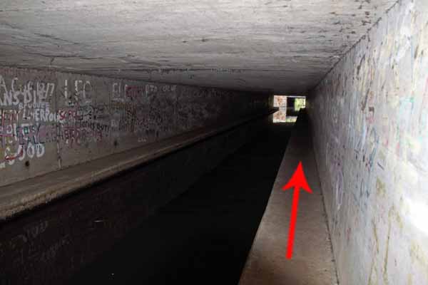
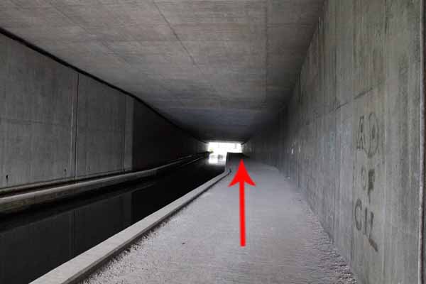
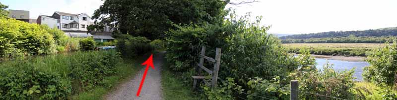
The towpath is narrow and uneven under some of the A465 flyovers so take care.
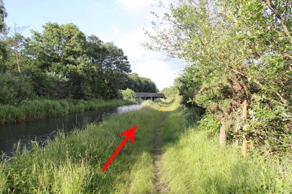
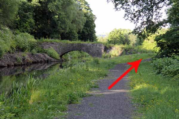
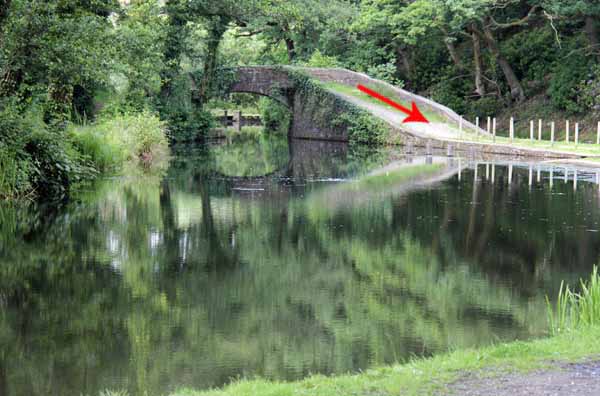
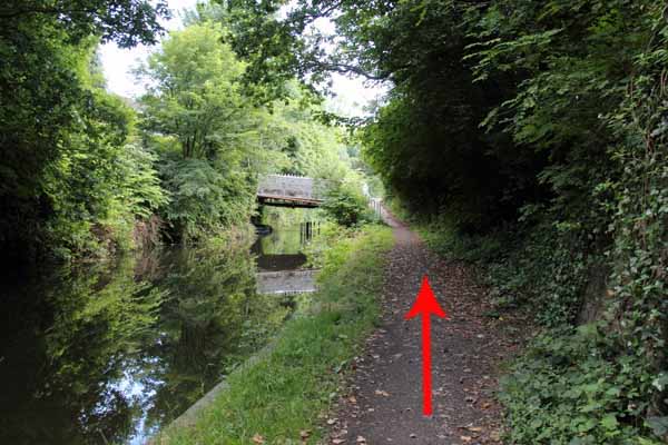
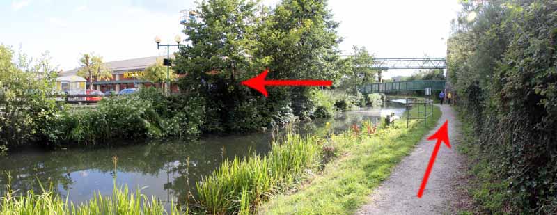
Continue past old canal bridges and under the A465 again.
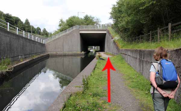
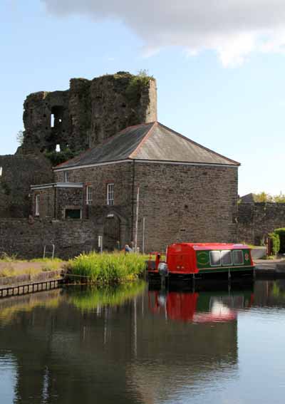
The canal ends at the disused Aberdulais aqueduct where there are pubs and a cafe.
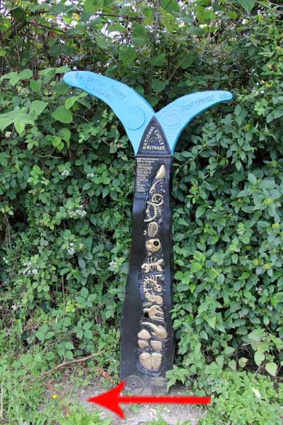
You can also visit the National Trust property at Aberdulais Falls.
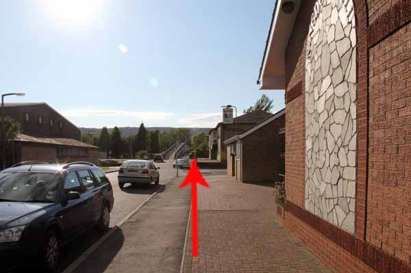
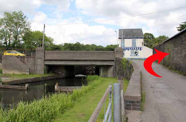
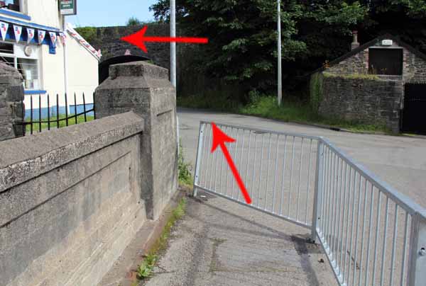
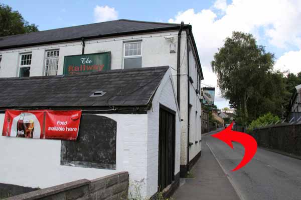
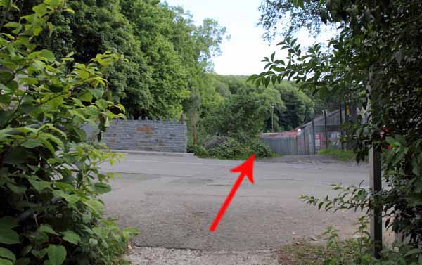
Turn right to the road junction and then left to the Railway Tavern.
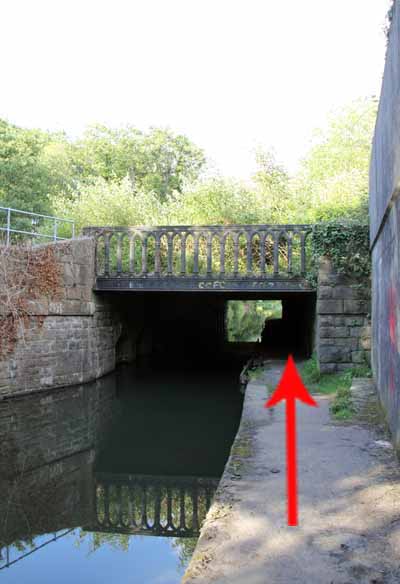
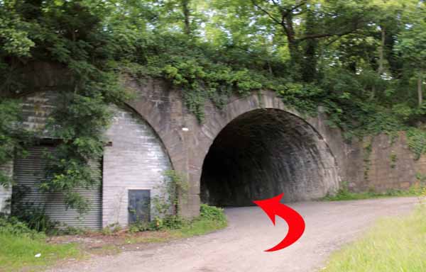
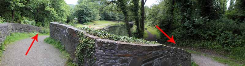
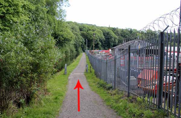
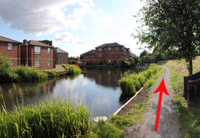
Turn left and go under the railway arch to the canal basin.
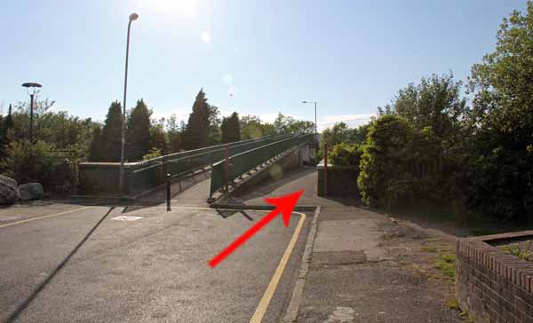
Continue to the opposite side of the basin and turn right to cross the canal bridge.
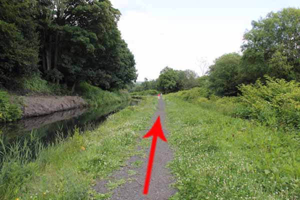
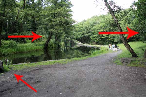
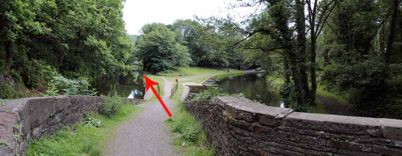
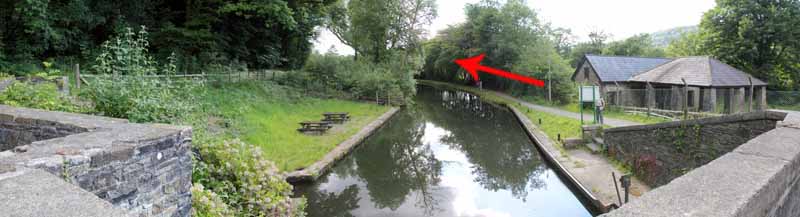
Keep to the left to join the Neath Canal. Cross the road and pick up the towpath again.
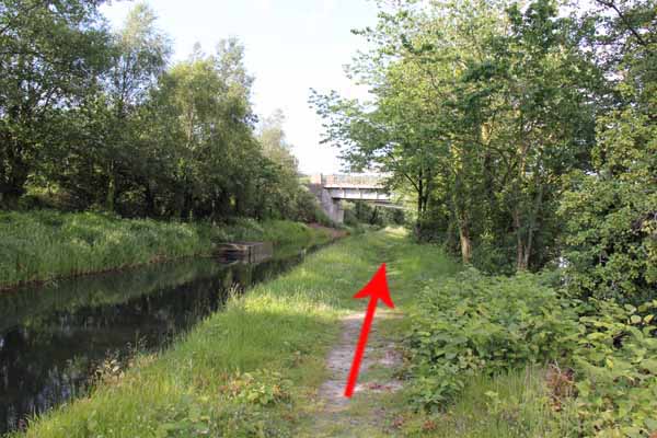
Watch for the River Neath as it occasionally flows close to the canal.
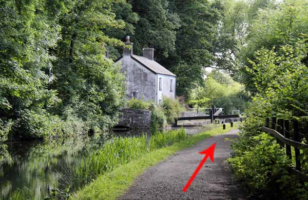
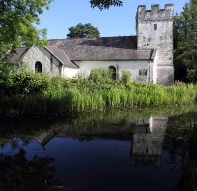
Pass by the cottage at the lock gate and later look left for the ancient church of St Illtyd.
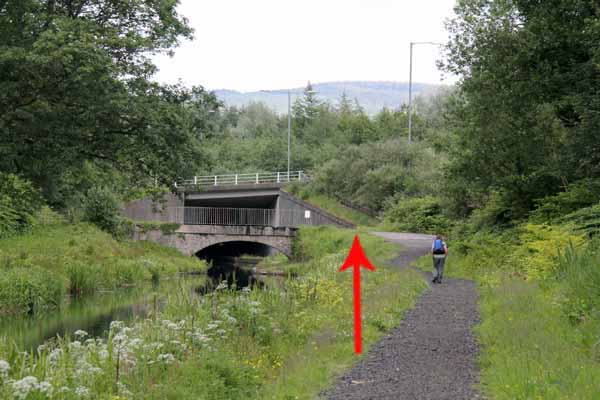
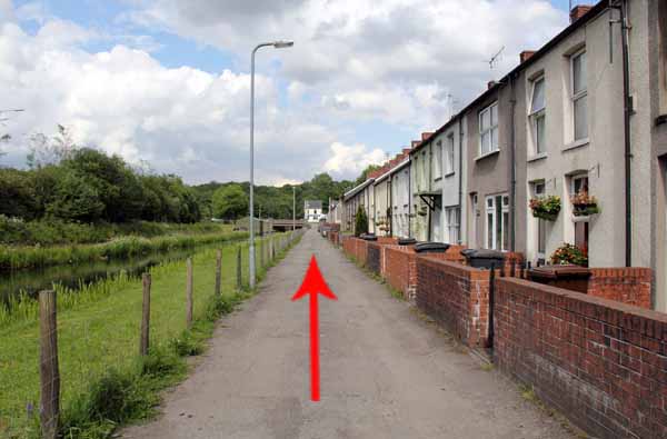
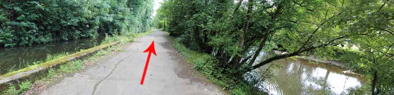
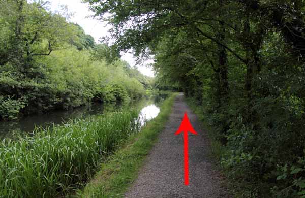
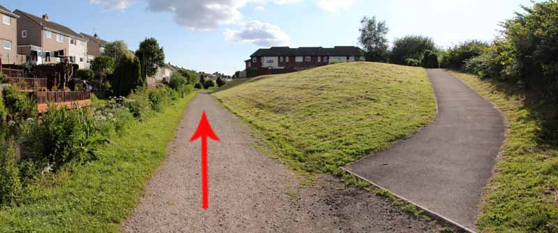
Continue along the canal past waterside housing to your starting point.
Ramblers Cymru and Swansea Ramblers provide these routes but accept no responsibility for those walking them.
If you would like to go on a walk but would prefer to do so with a group of people then click on our Programme section to see what walks we are leading.
We have walks for varying levels of ability and you get the chance to see the countryside in places you might never go by yourself!
This aerial map is resizable and draggable
(Can be reset to original dimensions by refreshing the page)
A 25,000 Ordnance Survey map of the area
can be viewed by clicking on the above 'View Larger Map' option
(applies only if the above is a Bing map, not a Google map )