Ramblers Cymru Logo Image of Countryside
Swansea Ramblers Logo
at the heart of walking


Swansea Ramblers Walk


Glyncorrwg Ponds


Walk Start / Finish Location:
Glyncorrwg Ponds Visitor Centre

Walk Distance: 1.5 miles (1 hour)

Walk Level: Easy

Parking: Glyncorrwg Ponds Visitor Centre (Charge)

Transport: Traveline - www.traveline.info   - or - Telephone 0871 200 22 33


Walk Description


Today's walk is for families taking short stroll on good surfaces in a beautiful area with ponds to keep the young interested.
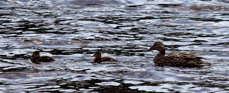
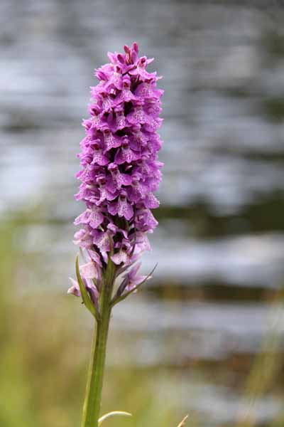
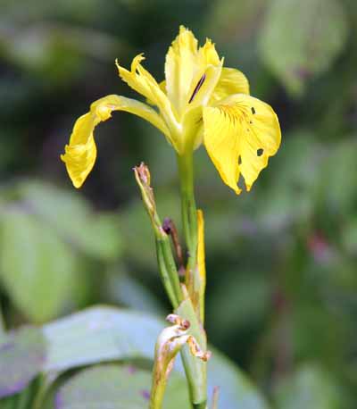
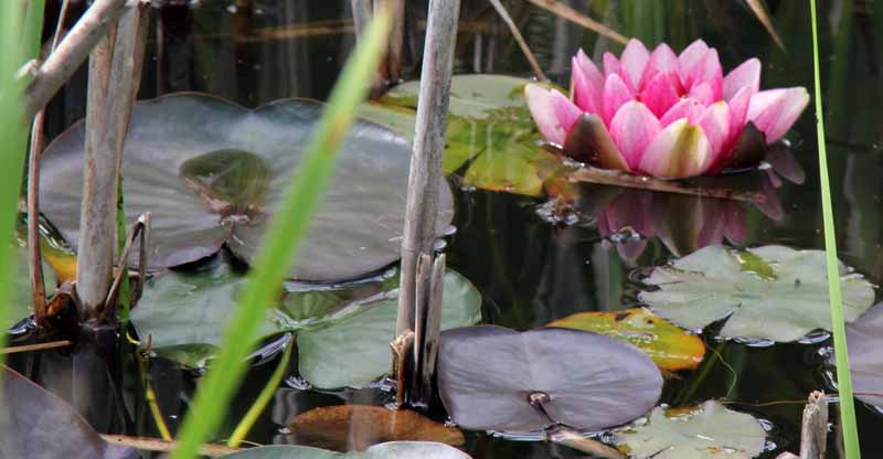
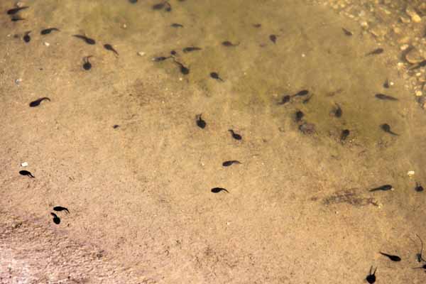
Watch out for tadpoles, ducks, fish jumping and wild flowers.
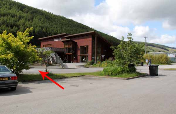
There is a cafe and toilets at the visitor centre.
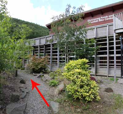
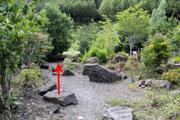
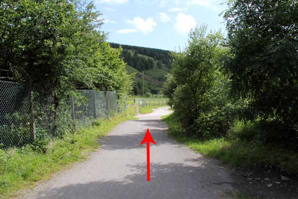
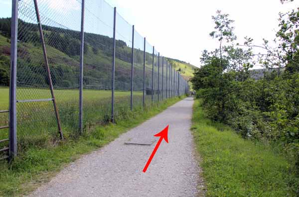
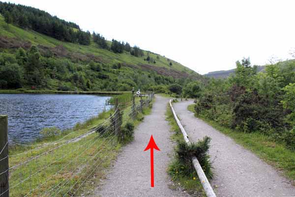
Start by entering the rock garden to the left of the visitor centre and turn left onto the broad path.
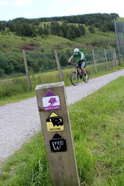
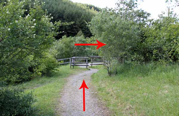
Take care here and along the path as parts of the route are shared with mountain bikers.
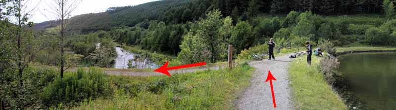
Opposite the rugby ground is a platform where you can look both ways along the river.
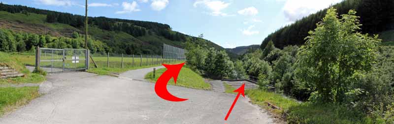
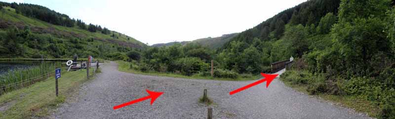
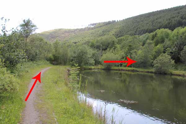
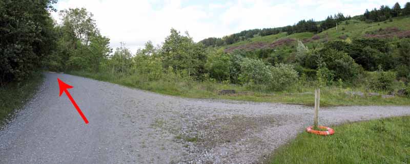
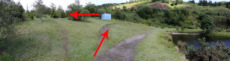
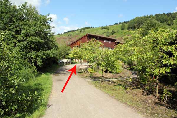
Return to the path and follow it to the end of the playing field.
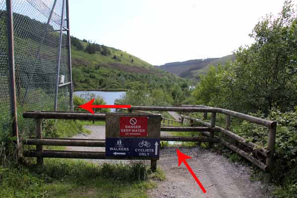
Bikes go straight on so here turn left and descend to the first pond.
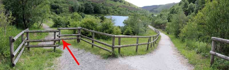
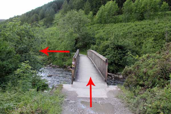
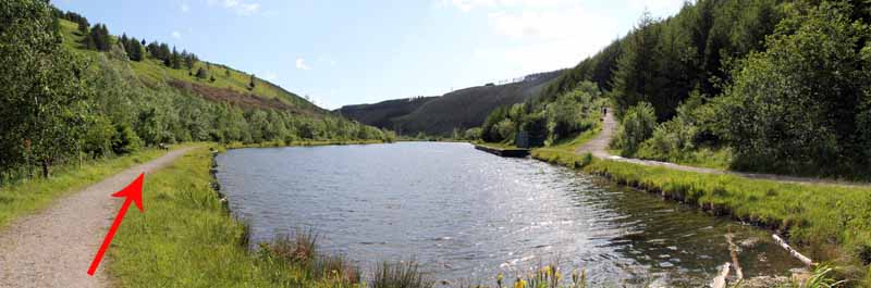
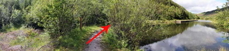
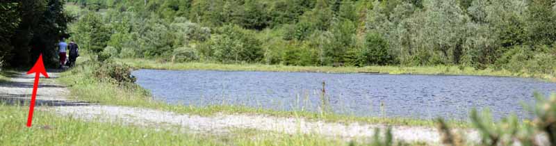
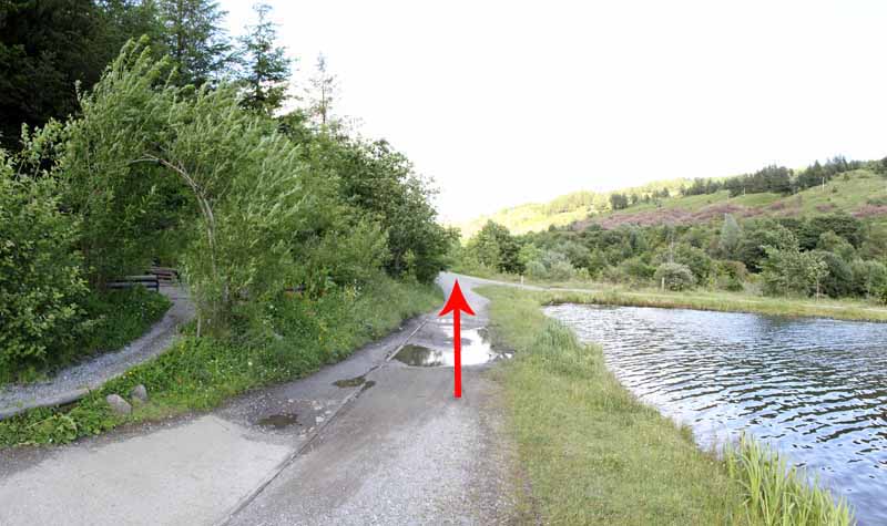
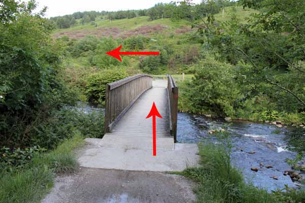
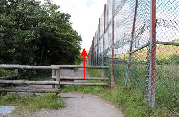
Keep to the right edge of the pond until you come to a bridge to cross the river.
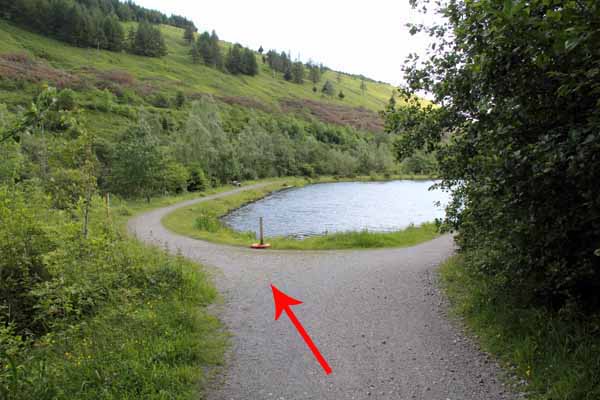
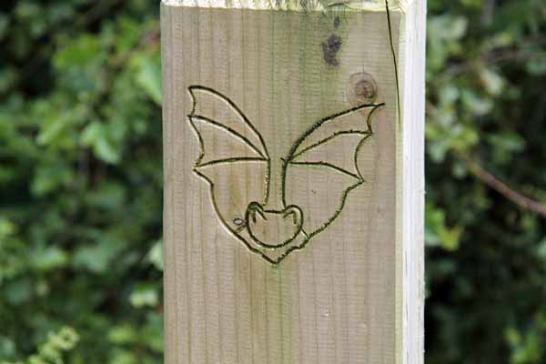
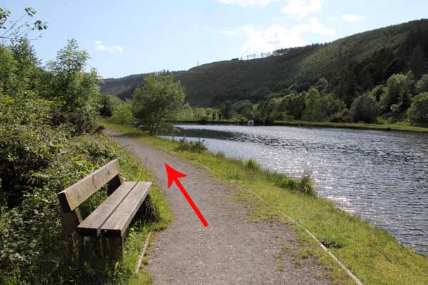
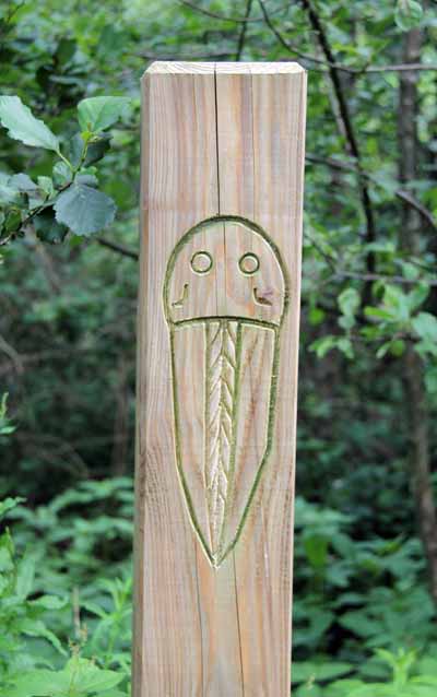
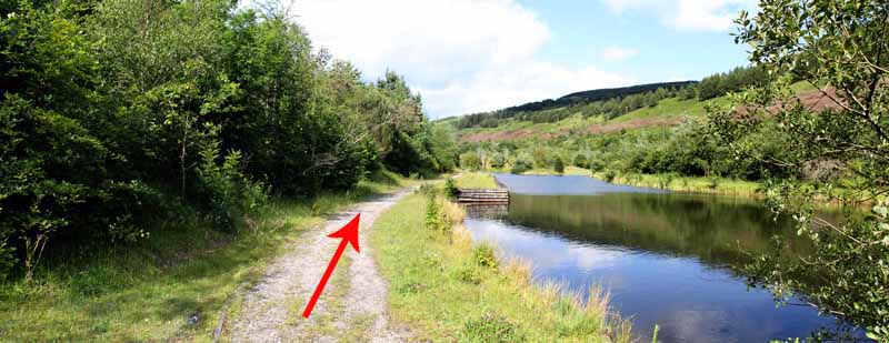
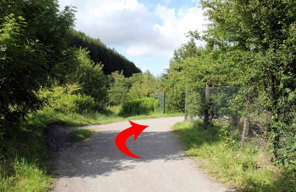
At the second pond take the left path and watch out for the carved posts.
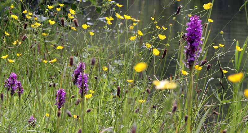
In June, Orchids can be seen along the way.
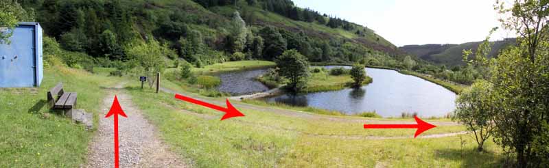
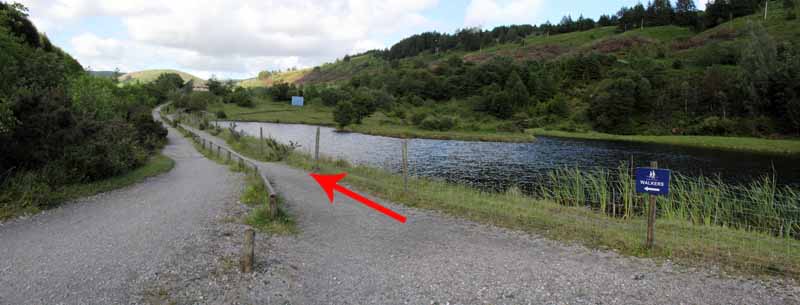
At the end of the pond take the path that descends to the left side of the third pool and follow the path around the pond and back towards the second pond.
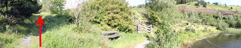
Use the left path to rejoin that pond and continue on the return journey to the bridge and visitor centre.
Other paths leave the ponds at intervals providing longer walking opportunities.


Ramblers Cymru and Swansea Ramblers provide these routes but accept no responsibility for those walking them.

If you would like to go on a walk but would prefer to do so with a group of people then click on our Programme section to see what walks we are leading.

We have walks for varying levels of ability and you get the chance to see the countryside in places you might never go by yourself!


Maps of the Walk


Ordnance Survey map of the route to walk
Resizable and draggable
(Can be reset to original dimensions by refreshing the page)
Green Swansea Ramblers logo markers where present can be clicked to provide more information


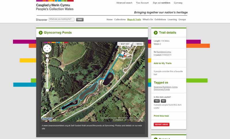
This aerial map is resizable and draggable
(Can be reset to original dimensions by refreshing the page)

A 25,000 Ordnance Survey map of the area
can be viewed by clicking on the above 'View Larger Map' option
(applies only if the above is a Bing map, not a Google map )


Peoples Collection link

The route of this walk has been added to The National Museum of Wales' Peoples Collection Web site.
A choice of aerial imagery or historic Ordnance Survey mapping is available.
Click the map to enter their web site (opens in a new browser window)
or copy and paste this link into a new browser window.
http://www.peoplescollectionwales.co.uk/Trail/761-glyncorrwg-ponds


Photographs of the Walk


Photograph of Walking Route - Image 1


Photograph of Walking Route - Image 2


Photograph of Walking Route - Image 3


Photograph of Walking Route - Image 4


Photograph of Walking Route - Image 5
Visit the viewpoint over the river then continue on the path


Photograph of Walking Route - Image 6
Watch out for bikes


Photograph of Walking Route - Image 7


Photograph of Walking Route - Image 8
Follow the pedestrian path


Photograph of Walking Route - Image 9


Photograph of Walking Route - Image 10


Photograph of Walking Route - Image 11


Photograph of Walking Route - Image 12


Photograph of Walking Route - Image 13


Photograph of Walking Route - Image 14


Photograph of Walking Route - Image 15


Photograph of Walking Route - Image 16


Photograph of Walking Route - Image 17


Photograph of Walking Route - Image 18


Photograph of Walking Route - Image 19


Photograph of Walking Route - Image 20


Photograph of Walking Route - Image 21


Photograph of Walking Route - Image 22


Photograph of Walking Route - Image 23


Photograph of Walking Route - Image 24


Photograph of Walking Route - Image 25


Photograph of Walking Route - Image 26


Photograph of Walking Route - Image 27
Start the return journey


Photograph of Walking Route - Image 28


Photograph of Walking Route - Image 29


Photograph of Walking Route - Image 30


Photograph of Walking Route - Image 31


Photograph of Walking Route - Image 32


Photograph of Walking Route - Image 33


Photograph of Walking Route - Image 34


Photograph of Walking Route - Image 35


Photograph of Walking Route - Image 36


Photograph of Walking Route - Image 37


Photograph of Walking Route - Image 38


Photograph of Walking Route - Image 39
Watch out for bikes


Photograph of Walking Route - Image 40


Photograph of Walking Route - Image 41


More information about walking in Wales is available at:    www.ramblers.org.uk/wales

Ramblers Cymru and Swansea Ramblers provide this route but accept no responsibility for those walking it

All photographs Copyright 2012 Andrew Morgan. All rights reserved


Swansea Ramblers hope you enjoy doing this walk.

Over time things can change on the walk

- for example - path diversions, new gates instead of stiles or maybe the path has become blocked.

If you do find anything different on the way then let us know:

1. Which walk you have been on.

2. The type and location of the change or the problem you have experienced.


Of course you may just like to tell us that you have done the walk and whether you enjoyed it.

Use the link below to email us about your walk.

We'll look forward to hearing from you.


If the email link is not displayed above or is not supported by your email setup, manually type in our email address
address


Back to top

Our use of Cookies

Our Privacy Policy


Valid HTML 4.01 Transitional