Ramblers Cymru Logo Image of Countryside
Swansea Ramblers Logo
at the heart of walking


Swansea Ramblers Walk


Glyncorrwg Hills


Walk Start / Finish Location:
Glyncorrwg Ponds visitor centre

Walk Distance: 8 miles (4 hours)

Walk Level: Moderate - with ascent onto hill

Parking: Glyncorrwg Ponds visitor centre (Charge)

Transport: Traveline - www.traveline.info   - or - Telephone 0871 200 22 33


Walk Description


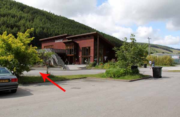
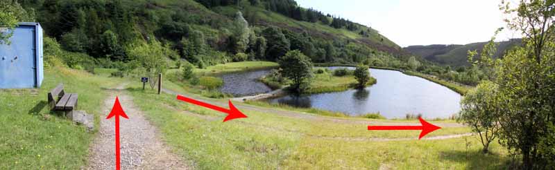
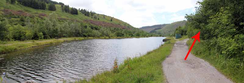
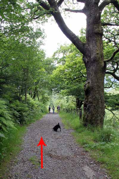
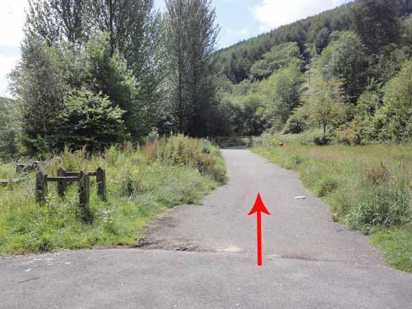
From the visitor centre head south towards the ponds.
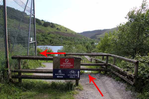
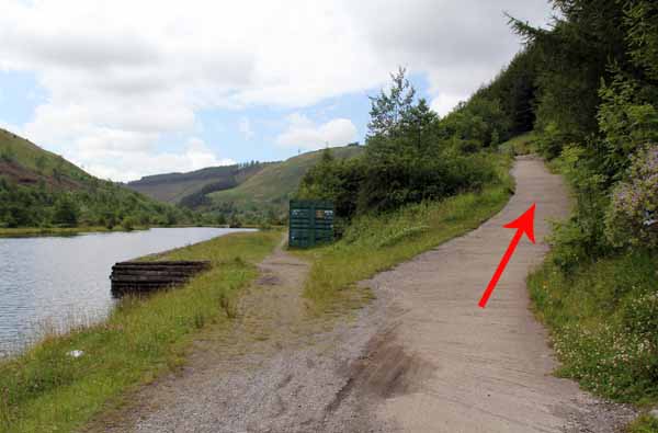
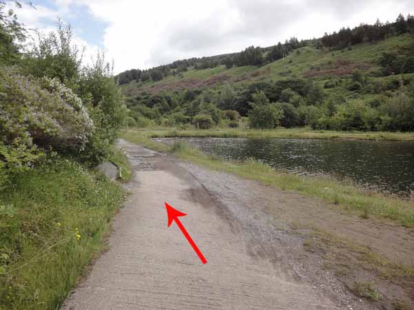
At the second pond a concrete incline climbs to the cycle path.
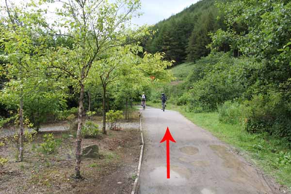
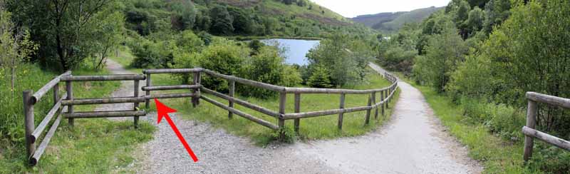
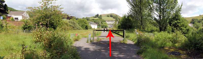
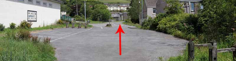
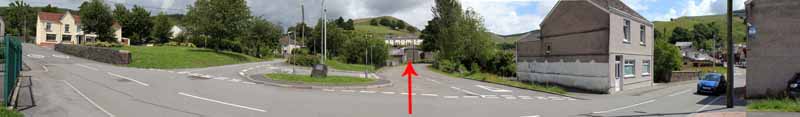
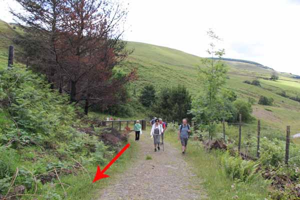
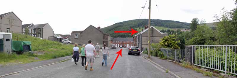
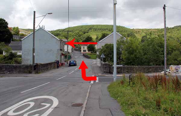
Turn right and follow to the village hall.
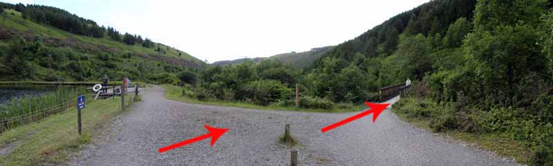
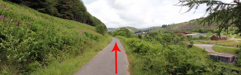
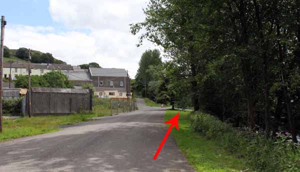
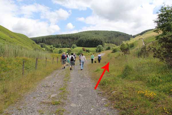
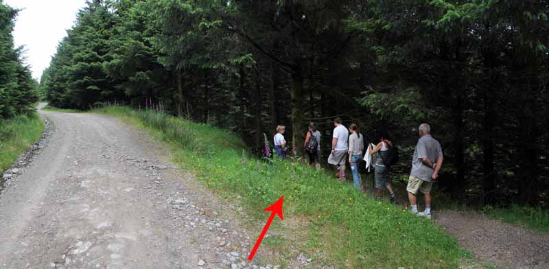
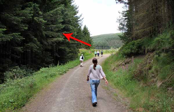
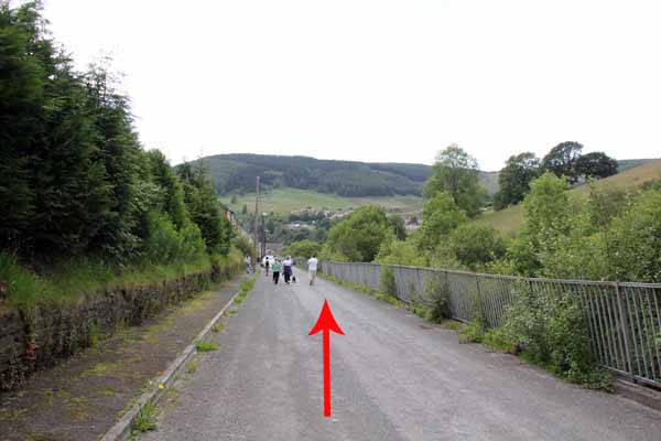
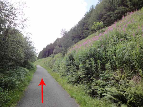
Go straight over the road and follow the straight path that was once a railway track.
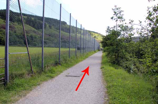
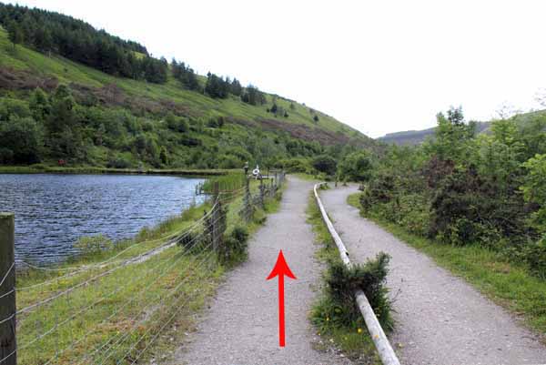
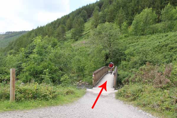
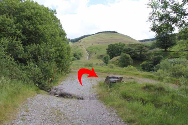
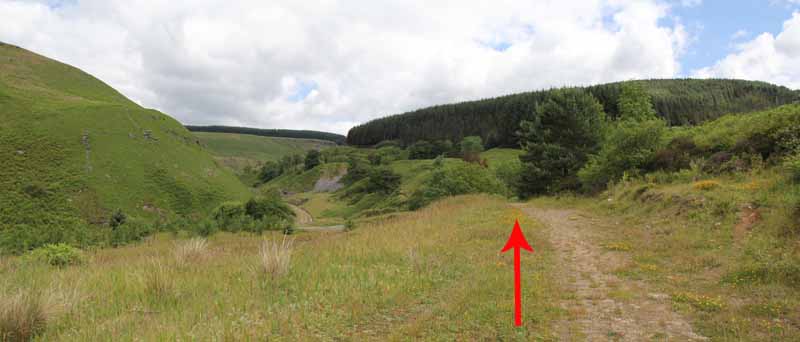
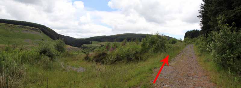
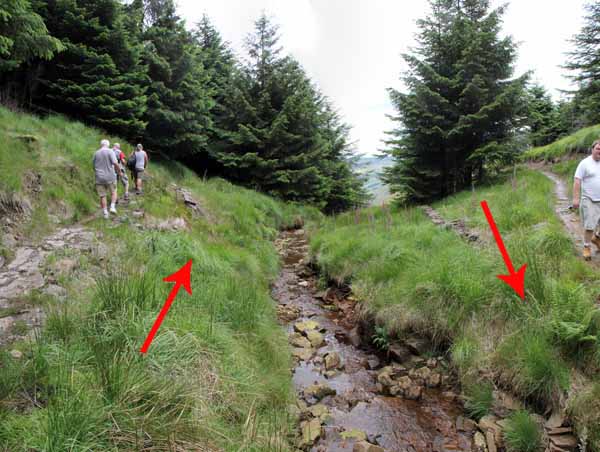
Cross the modern bridge over the river and continue up the valley on the right fork past the reed beds onto a forestry track.
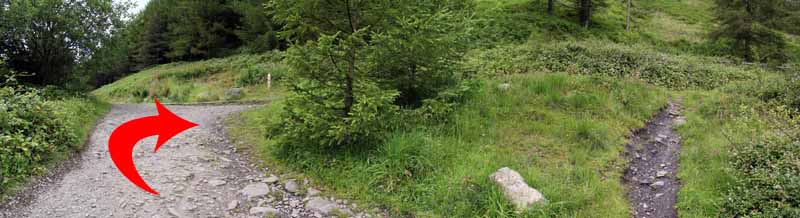
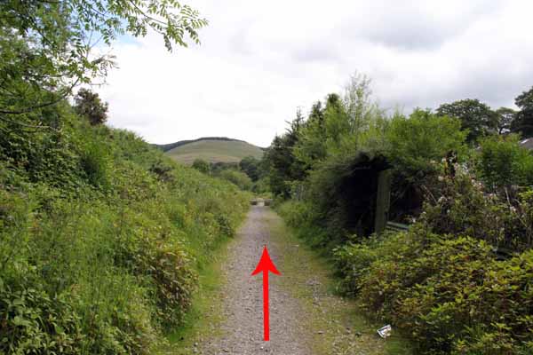
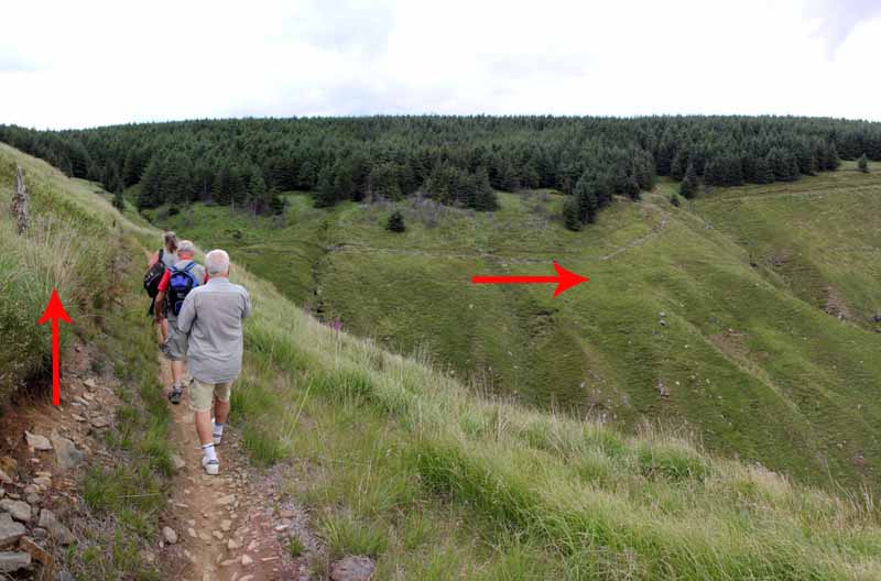
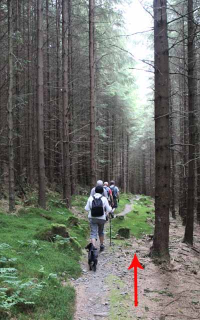
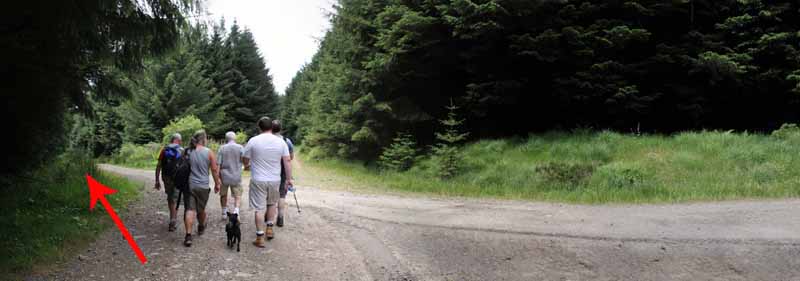
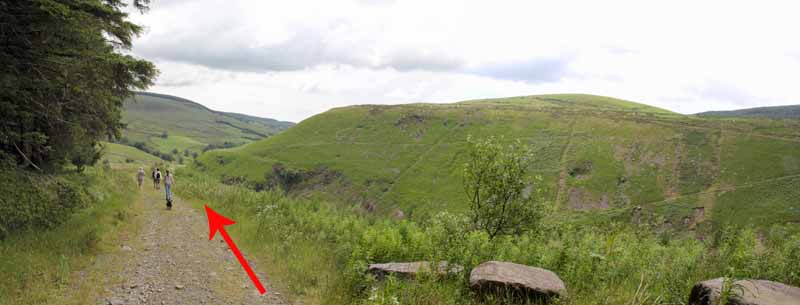
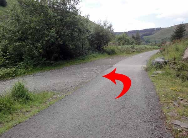
After a hairpin bend take the right fork at the junction and continue uphill.
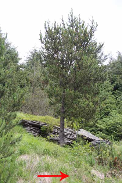
Watch carefully to the left for a large outcrop of distinctive layered rock.
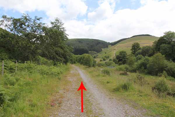
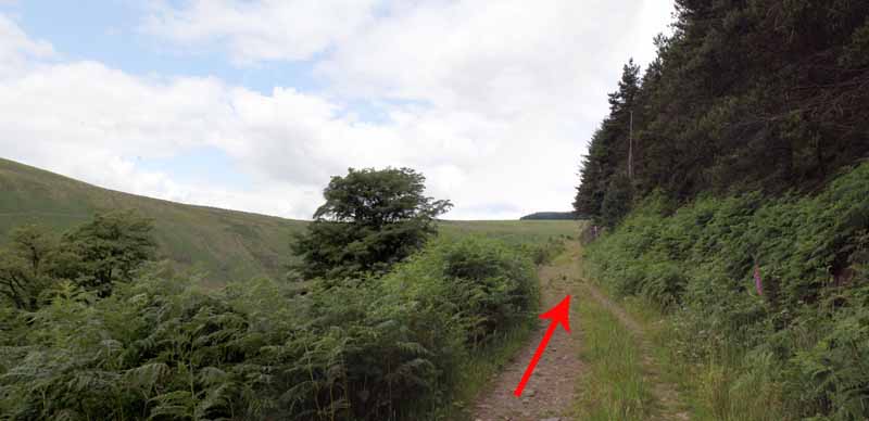
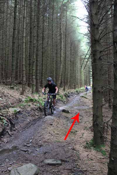
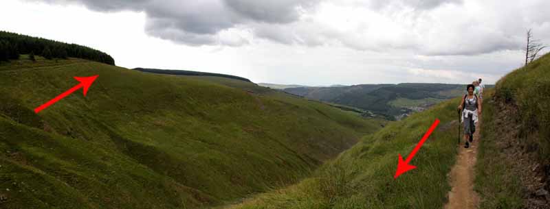
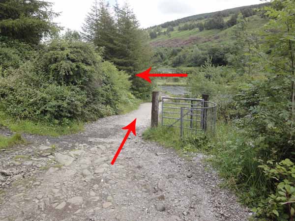
Shortly after this rock descend the narrow cycle path on the right.
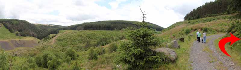
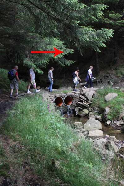
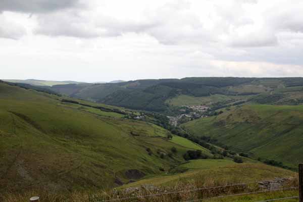
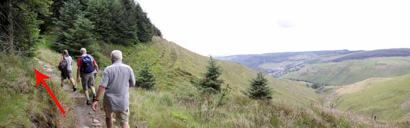
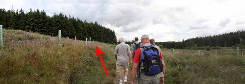
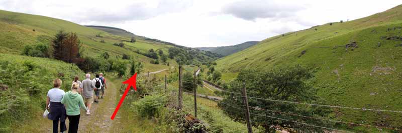
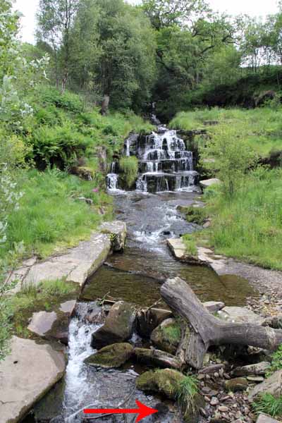
Cross a stone bridge over two modern pipes and follow the forestry path until it emerges on the hill above the valley.
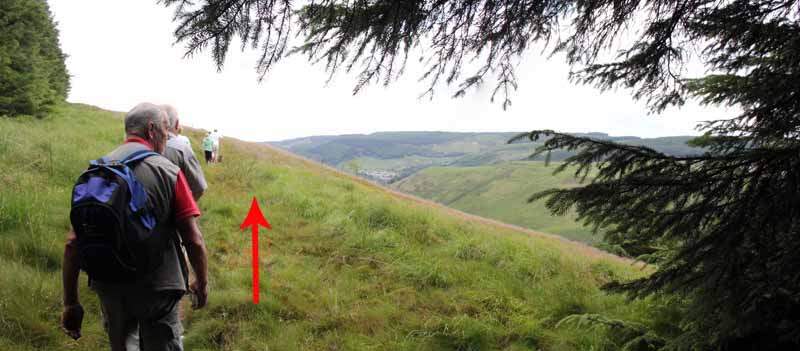
Follow the hillside path back into the forest.
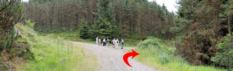
Turn left when the path drops onto another track.
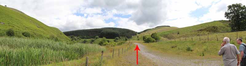
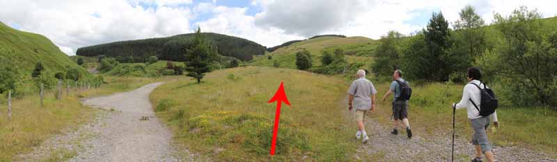
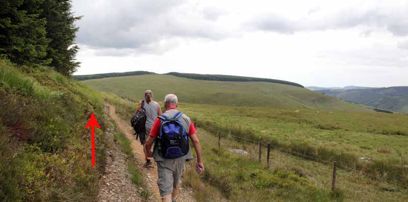
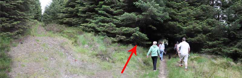
Continue out into a wide open area surrounded by forestry. Follow the path as it bears left.
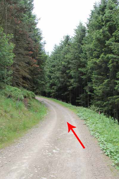
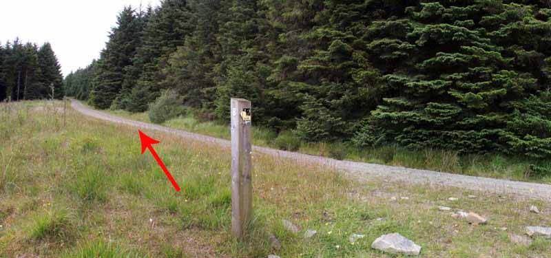
On reaching the broad forest track, turn left and follow it, ignoring the track that joins from the right.
At a cross roads turn left and downhill, passing that rocky outcrop and cycle path you used earlier.
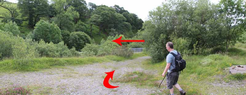
At the junction of the forestry paths, turn left and retrace your steps to the river bridge.
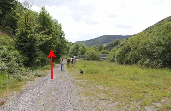
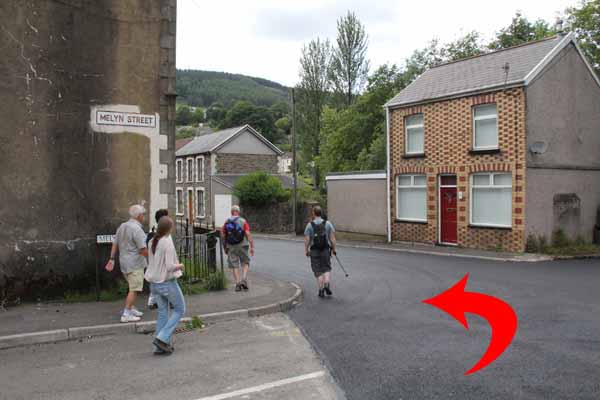
Do not cross the bridge, instead continue down to the village.
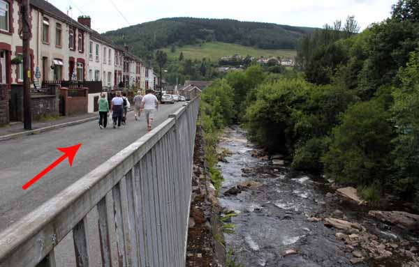
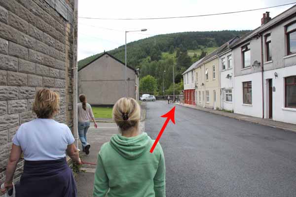
Bear right, past the converted chapel, into Commercial Street and cross the river at Bridge Street, heading back to the village hall.
Turn left to rejoin the cycle path and retrace your steps back to the ponds and the visitor centre.


Ramblers Cymru and Swansea Ramblers provide these routes but accept no responsibility for those walking them.

If you would like to go on a walk but would prefer to do so with a group of people then click on our Programme section to see what walks we are leading.

We have walks for varying levels of ability and you get the chance to see the countryside in places you might never go by yourself!


Maps of the Walk


Ordnance Survey map of the route to walk
Resizable and draggable
(Can be reset to original dimensions by refreshing the page)
Green Swansea Ramblers logo markers where present can be clicked to provide more information


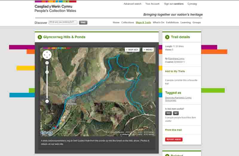
This aerial map is resizable and draggable
(Can be reset to original dimensions by refreshing the page)

A 25,000 Ordnance Survey map of the area
can be viewed by clicking on the above 'View Larger Map' option
(applies only if the above is a Bing map, not a Google map )


Peoples Collection link

The route of this walk has been added to The National Museum of Wales' Peoples Collection Web site.
A choice of aerial imagery or historic Ordnance Survey mapping is available.
Click the map to enter their web site (opens in a new browser window)
or copy and paste this link into a new browser window.
http://www.peoplescollectionwales.co.uk/Trail/769-glyncorrwg-hills-ponds


Photographs of the Walk


Photograph of Walking Route - Image 1
Glyncorrwg Ponds Visitor Centre


Photograph of Walking Route - Image 2
Cycle path/ walkway to the ponds behind visitor centre


Photograph of Walking Route - Image 3
Continue past the playing field


Photograph of Walking Route - Image 4
Turn left away from cycle path


Photograph of Walking Route - Image 5
Avoiding cycling path


Photograph of Walking Route - Image 6
Descending to the first pond


Photograph of Walking Route - Image 7
Head past first pond to second pond


Photograph of Walking Route - Image 8
Cross bridge to second pond


Photograph of Walking Route - Image 9
Watch for bikes


Photograph of Walking Route - Image 10
Look for the concrete slope up to the cycle path


Photograph of Walking Route - Image 11
Ascend to the cycle path


Photograph of Walking Route - Image 12
Turn right onto the cycle path


Photograph of Walking Route - Image 13
Continue to the village


Photograph of Walking Route - Image 14
Pass by the community hall


Photograph of Walking Route - Image 15
Go straight across at the community hall


Photograph of Walking Route - Image 16
Go straight across at the community hall


Photograph of Walking Route - Image 17
Bear right onto straight disused railway line


Photograph of Walking Route - Image 18
Disused railway line


Photograph of Walking Route - Image 19
Follow the path towards the hills


Photograph of Walking Route - Image 20
Turn right to cross the metal bridge


Photograph of Walking Route - Image 21
Cross the bridge and continue towards the hills


Photograph of Walking Route - Image 22
Bear right to pick up the forest track


Photograph of Walking Route - Image 23
Continue towards the hills


Photograph of Walking Route - Image 24
Bear right


Photograph of Walking Route - Image 25
Continue to the forest track


Photograph of Walking Route - Image 26
Pass through metal forestry gate


Photograph of Walking Route - Image 27
The path ascends the hill


Photograph of Walking Route - Image 28
Continue on this path


Photograph of Walking Route - Image 29
Follow the bend in the path


Photograph of Walking Route - Image 30
At the junction in the forest, turn right uphill


Photograph of Walking Route - Image 31
Continue uphill


Photograph of Walking Route - Image 32
Watch out for this outcrop on the left which is close to the hidden junction


Photograph of Walking Route - Image 33
Turn right onto this cycle path that crosses the main track


Photograph of Walking Route - Image 34
Continue over the bridge


Photograph of Walking Route - Image 35
Cyclists share this path


Photograph of Walking Route - Image 36
Emerge onto the hillside with views down the valley


Photograph of Walking Route - Image 37
Glyncorrwg in the distance


Photograph of Walking Route - Image 38
Hillside path follows the contours


Photograph of Walking Route - Image 39
Continue along the path and enjoy the views


Photograph of Walking Route - Image 40
Hairpin bend


Photograph of Walking Route - Image 41
Good views from the path


Photograph of Walking Route - Image 42
Path goes for some way before turning away from the edge


Photograph of Walking Route - Image 43
Back into forestry


Photograph of Walking Route - Image 44
Turn left when path descends to meet another track


Photograph of Walking Route - Image 45
Ignore broad track uphill


Photograph of Walking Route - Image 46
Bear left in this open area between forestry


Photograph of Walking Route - Image 47
Turn left when the path meets the forest track


Photograph of Walking Route - Image 48
Ignore the first turning right and eventually go left at this cross roads


Photograph of Walking Route - Image 49
This is the same track with the rocky outcrop. Turn left to retrace your steps


Photograph of Walking Route - Image 50
Descending the path on which you first came up


Photograph of Walking Route - Image 51
Retracing route back


Photograph of Walking Route - Image 52
Continue straight on rather than re-use the same bridge


Photograph of Walking Route - Image 53
Continue straight on rather than re-use the same bridge


Photograph of Walking Route - Image 54
Path on other side of the river


Photograph of Walking Route - Image 55
Waterfall on left


Photograph of Walking Route - Image 56
Nearly in Glyncorrwg


Photograph of Walking Route - Image 57
Follow road into village


Photograph of Walking Route - Image 58
At the junction turn right into Melyn Street


Photograph of Walking Route - Image 59
Turn left onto Commercial Street


Photograph of Walking Route - Image 60
Go to the end of Commercial Street and turn right over Road Bridge


Photograph of Walking Route - Image 61
After crossing the bridge turn left onto the cycle path by the community hall


Photograph of Walking Route - Image 62
Rejoin the cycle path


Photograph of Walking Route - Image 63
Follow back to the ponds


Photograph of Walking Route - Image 64
Return left down the concrete incline


Photograph of Walking Route - Image 65
Turn left at the pond


Photograph of Walking Route - Image 66
Retrace route past ponds to the visitor centre


More information about walking in Wales is available at:    www.ramblers.org.uk/wales

Ramblers Cymru and Swansea Ramblers provide this route but accept no responsibility for those walking it

All photographs Copyright 2012 Andrew Morgan. All rights reserved


Swansea Ramblers hope you enjoy doing this walk.

Over time things can change on the walk

- for example - path diversions, new gates instead of stiles or maybe the path has become blocked.

If you do find anything different on the way then let us know:

1. Which walk you have been on.

2. The type and location of the change or the problem you have experienced.


Of course you may just like to tell us that you have done the walk and whether you enjoyed it.

Use the link below to email us about your walk.

We'll look forward to hearing from you.


If the email link is not displayed above or is not supported by your email setup, manually type in our email address
address


Back to top

Our use of Cookies

Our Privacy Policy


Valid HTML 4.01 Transitional