Walk Description
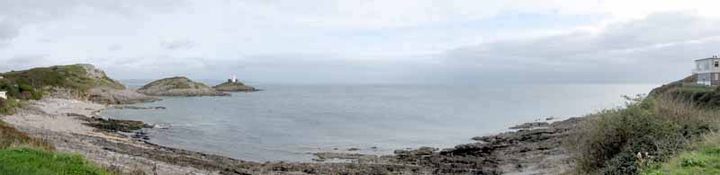
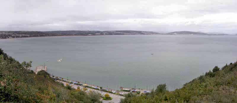
The walk has fine views over Swansea Bay and Mumbles Lighthouse.
A history trail provides information on the WW2 archaeological sites.
The walk continues past fishermen's cottages and the promenade.
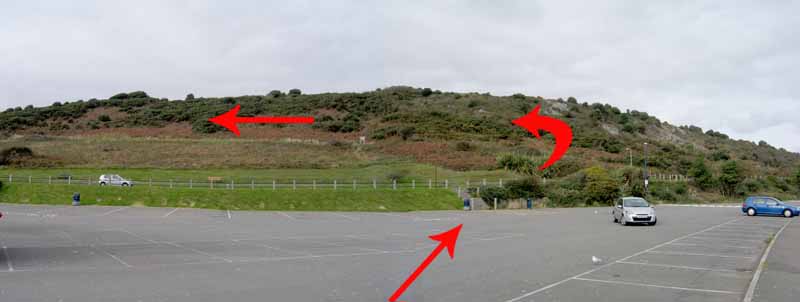
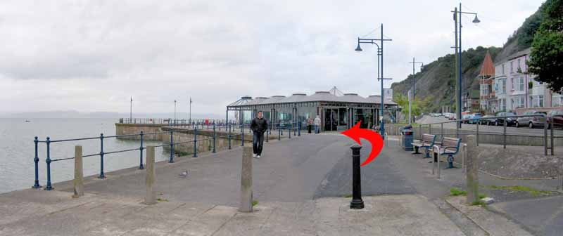
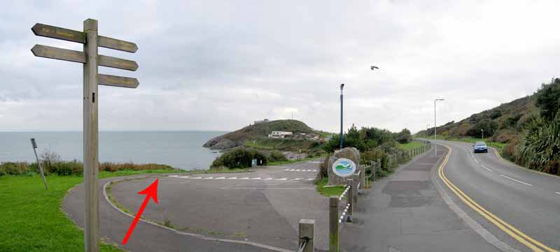
In the car park look out to sea, taking in the view of the lighthouse.
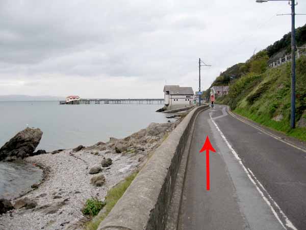
Turn around and go to the steps that lead to the road.
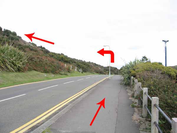
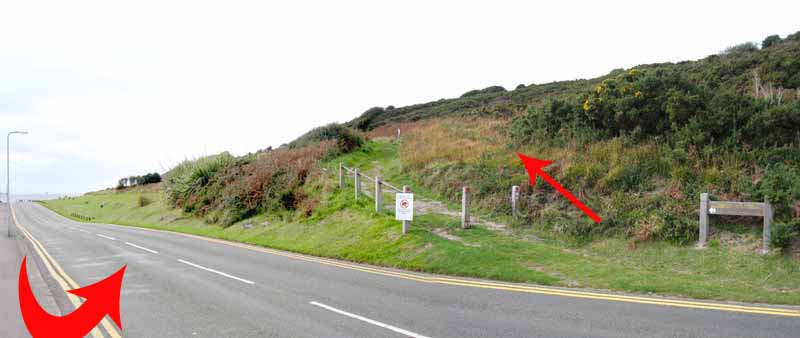
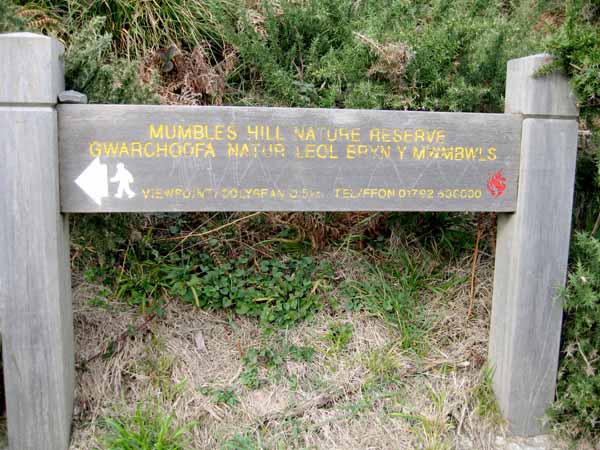
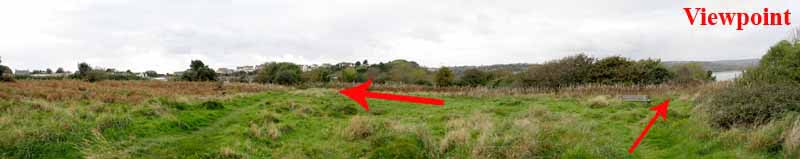
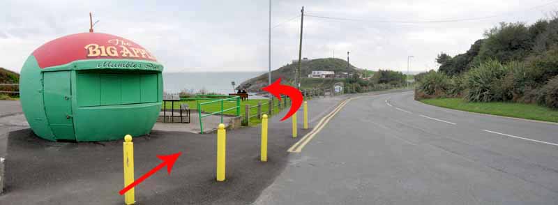
Turn right along the road before crossing to the path signposted 'Mumbles Hill Nature Reserve'.
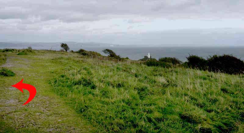
The broad track ascends gently up Mumbles Hill. Benches are provided on the way up.
As you climb remember to turn around and look at the view of the lighthouse.
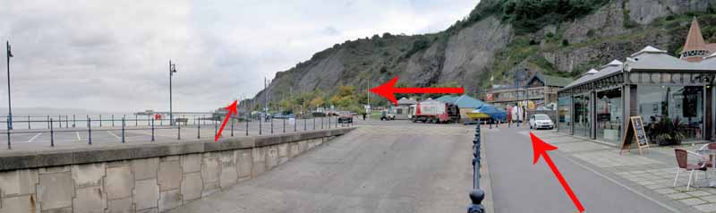
Just before turning the bend you can glimpse Forte's Cafe below.
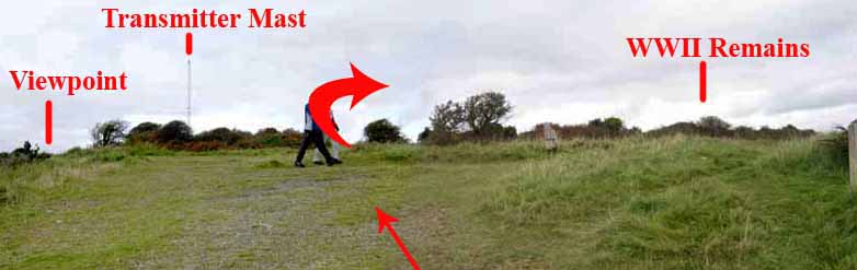
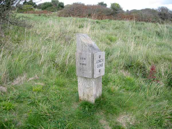
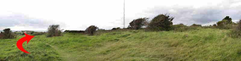
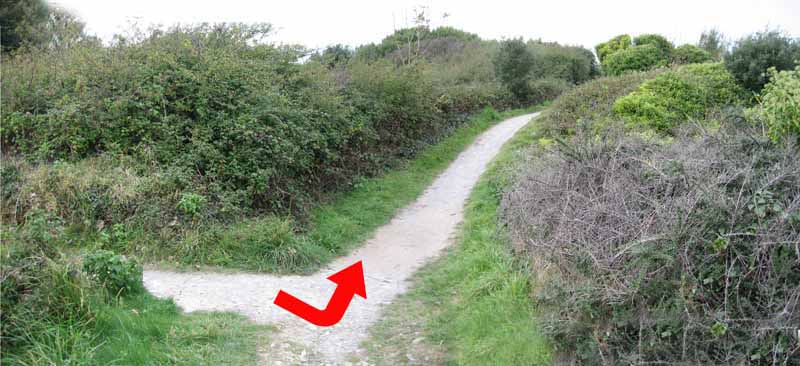
The transmitter now comes into view but take the right fork at the 6 inch guns sign which leads to the site of WW2 emplacement
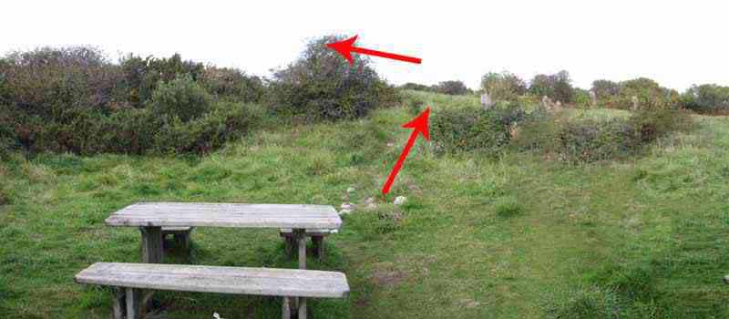
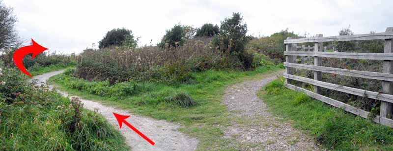
Turn left along a narrow path to where four paths meet.
Turn left as indicated by the wooden post on the right.
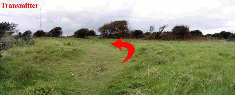
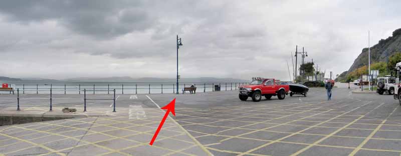
This narrow path returns to the earlier broad path and the transmitter.
Turn right and go to the railings from where you can look over the bay and take in the view that inspired earlier writers to compare Swansea to the Bay of Naples.
The Meridian Tower was not there at that time of course!
Turn left and follow the railings.
The path goes to the left to avoid a short rocky section then quickly rejoins the main path.
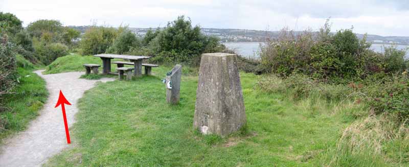
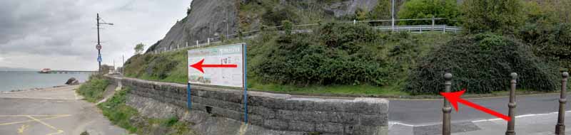
From here the path is well surfaced, going past a Trig point on its way to more WW2 sites.
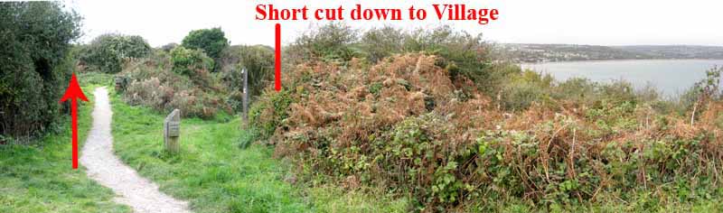
At another Mumbles Hill Nature Reserve sign there is a post indicating a short cut to the village but carry straight on until the gun emplacements are reached.
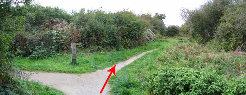
(Ignore the left turn to Thistleboon Drive).
Steps give you views over the site and the bay but take great care as these require some maintenance and could be dangerous.
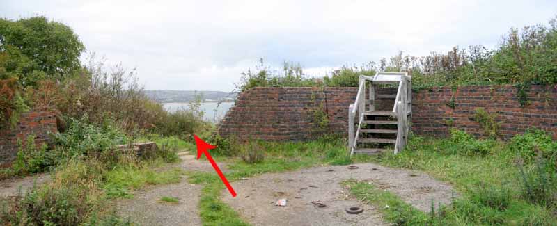
The path from here is not clear but it passes through the gap in the wall to the left of the sea-facing steps.
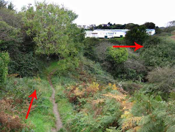
Steps made from railway sleepers take you down onto a narrower and not so well surfaced path.
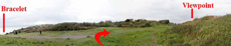
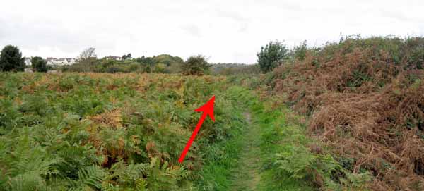
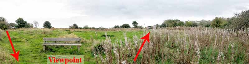
Continue in front of caravans to an open area of grass and ferns.
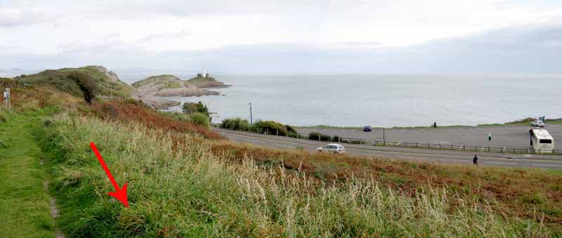
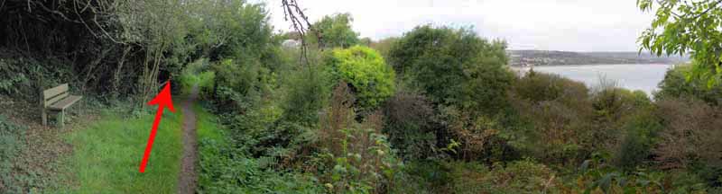
Bear right past the seat to the viewpoint of the bay and pier.
Retrace your steps to the seat and bear right towards the houses.
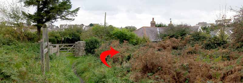
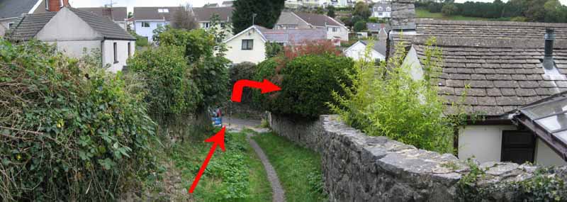
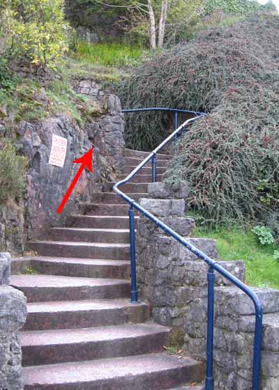
Follow the path next to the houses as it descends uneven steps to Thistleboon Drive.
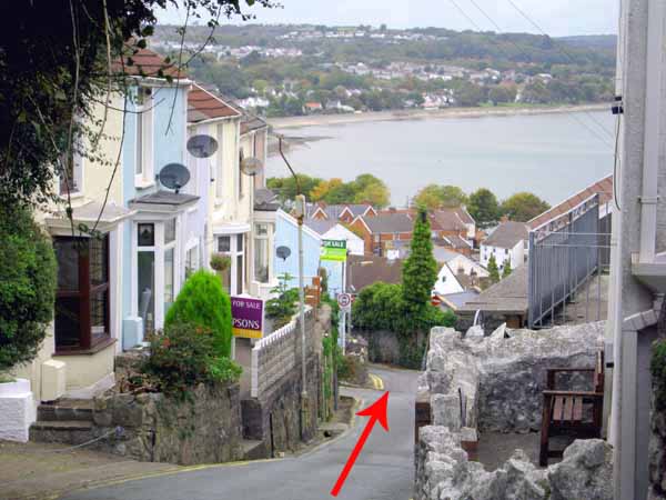
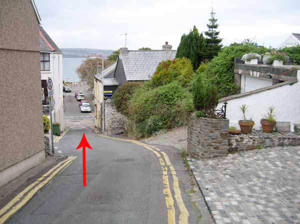
Turn right, watching for traffic and noting the view of the bay then go right into Village Lane.
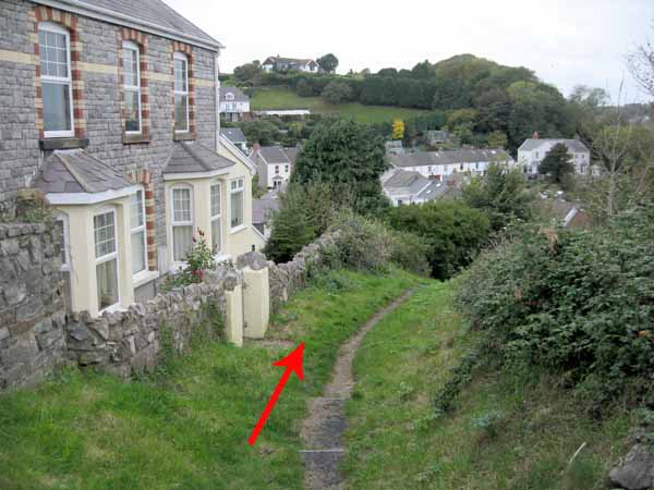
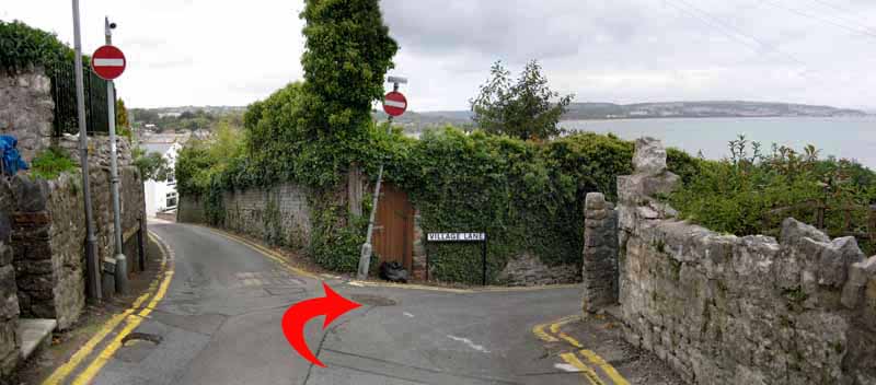
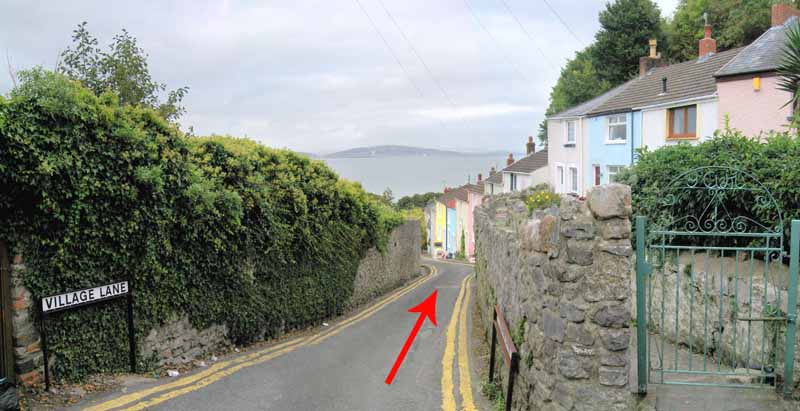
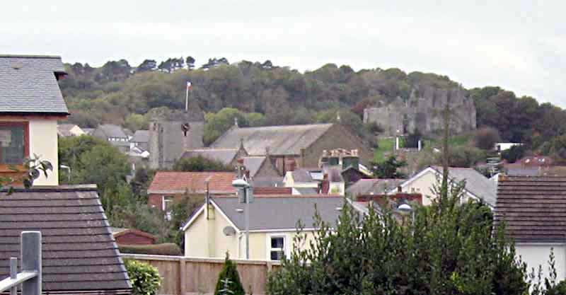
Walk downhill and near the brightly coloured fishermen's cottages, look left for views of Oystermouth Castle and All Saints Church.
The bottom of Village Lane opens straight onto the busy Mumbles road.
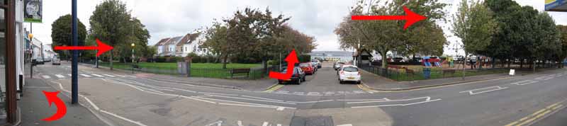
Turn left to the pedestrian crossing and walk to the promenade.
Look left for views of the castle but turn right and walk towards the Mumbles Pier.
Watch out for cyclists using the cycle lane.
At Verdi's follow the railings around to the promenade on the other side of the slipway.
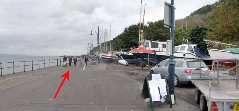
Turn right at the end of the promenade to join the road leading to the pier.
Watch out for traffic.
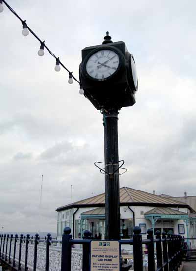
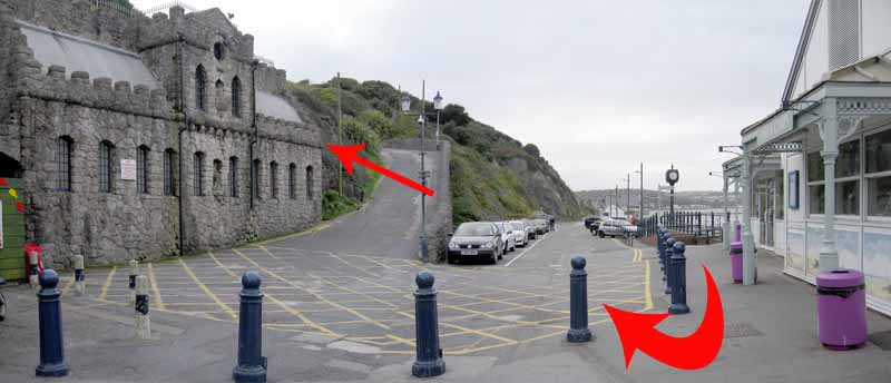
At the Pier centenary clock turn right and ascend the steps to the Big Apple Kiosk.
Alternatively, the road is less steep but watch for traffic.
Just past the Kiosk take the left to reach the end of the walk.
Ramblers Cymru and Swansea Ramblers provide these routes but accept no responsibility for those walking them.
If you would like to go on a walk but would prefer to do so with a group of people then click on our Programme section to see what walks we are leading.
We have walks for varying levels of ability and you get the chance to see the countryside in places you might never go by yourself!
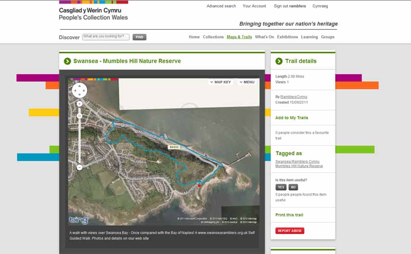
This aerial map is resizable and draggable
(Can be reset to original dimensions by refreshing the page)
A 25,000 Ordnance Survey map of the area
can be viewed by clicking on the above 'View Larger Map' option
(applies only if the above is a Bing map, not a Google map )