Ramblers Cymru Logo Image of Countryside
Swansea Ramblers Logo
at the heart of walking


Swansea Ramblers Walk


Amroth to Colby Woodland Garden


Walk Start / Finish Location:
Amroth National Park Car Park

Walk Distance: 2.5 miles (1.5 hours)

Walk Level: Moderate

Parking: Amroth National Park Car Park

Transport: Traveline - www.traveline.info   - or - Telephone 0871 200 22 33


Walk Description


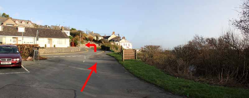
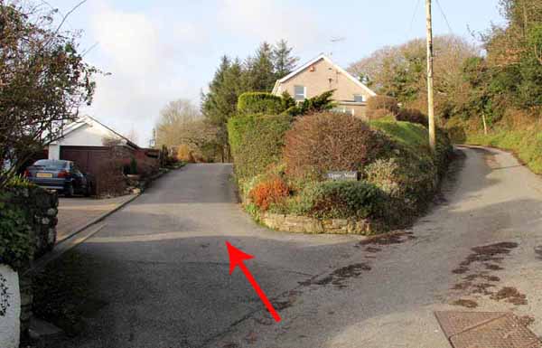
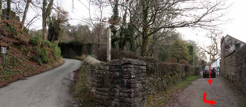
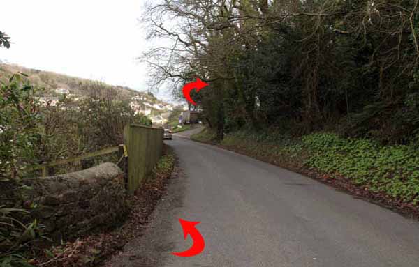
Walk to the entrance of the car park and turn left uphill.   
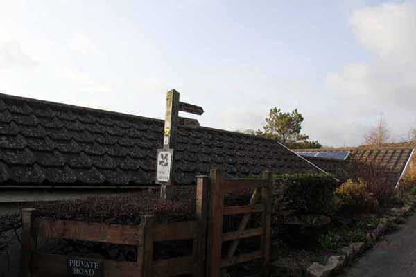
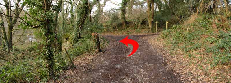
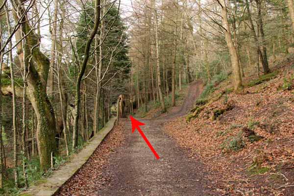
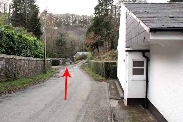
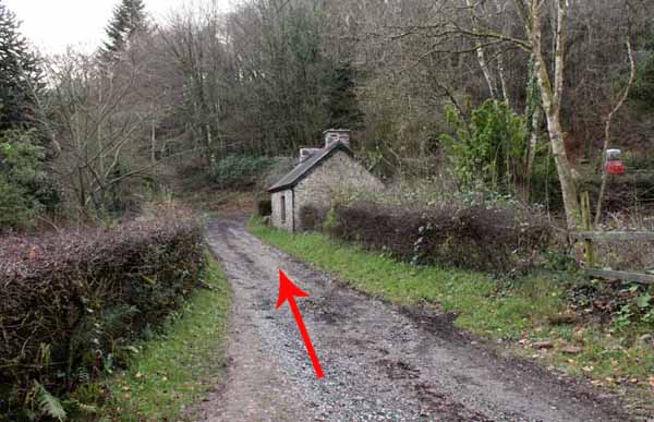
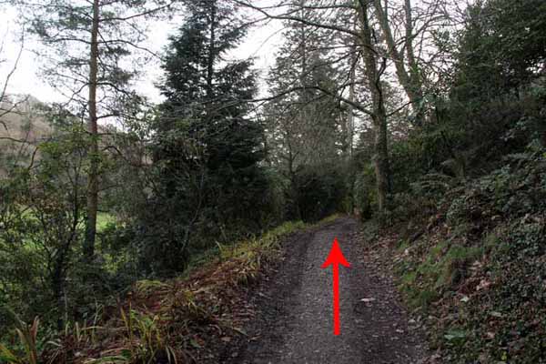
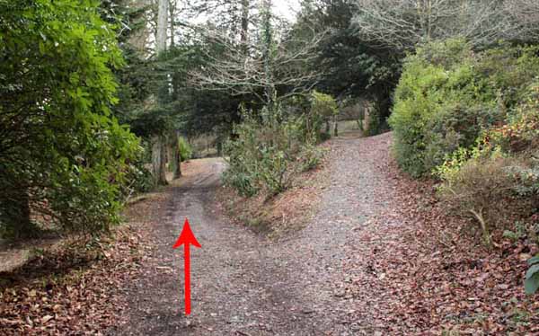
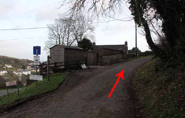
After a short distance take the left fork that looks as if it might go into a private road but the National Trust footpath sign confirms you are on the right track.   
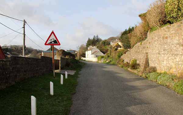
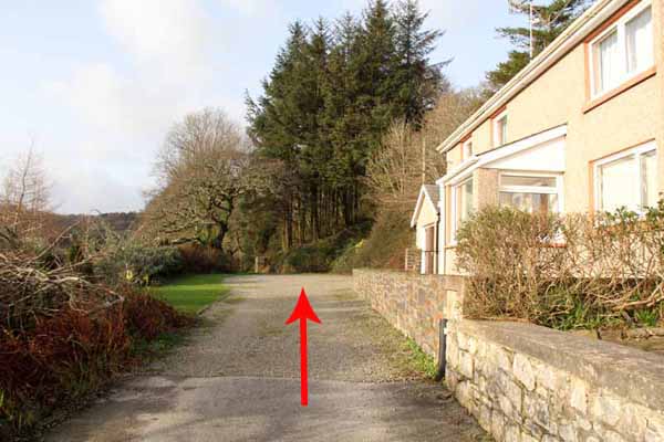
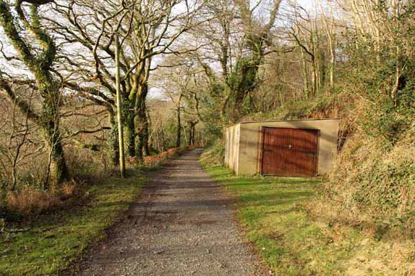
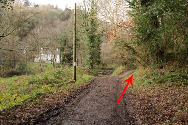
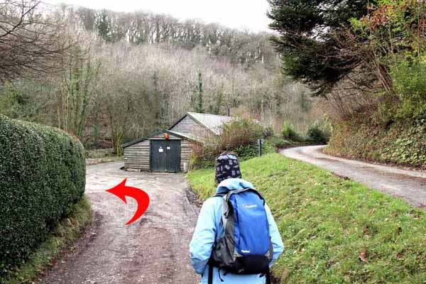
Continue straight on for about a mile, ignoring left and right paths that join the main route.   
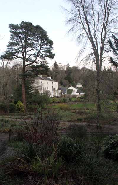
You arrive at Colby where the tea rooms (weekends only until 31st Mar - check before travelling) make an inviting stop.  

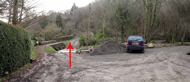
The footpath continues past the tea rooms onto the road.   
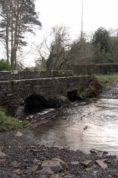
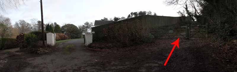
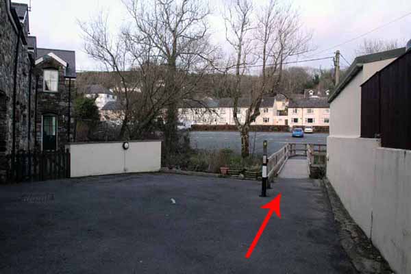
There are a number of walks we could do from here but today turn left down the road to where a bridleway sign points left and over an attractive small stone footbridge.   
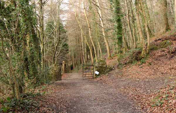
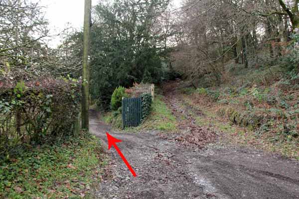
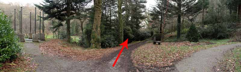
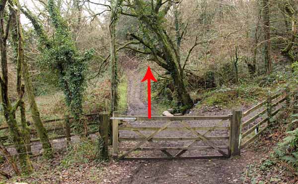
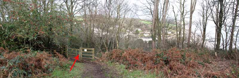
Turn left through the gate back into Colby Garden and follow the level path straight on past the pergola to arrive at a five bar gate at a footpath cross roads.   
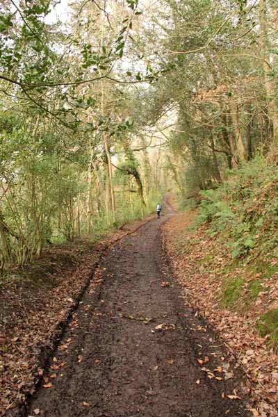
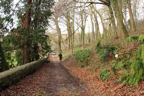
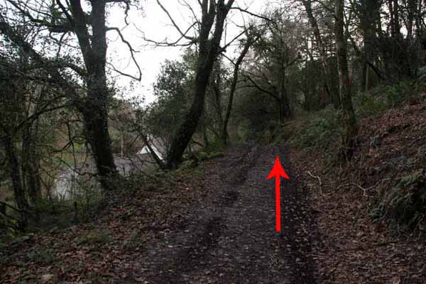
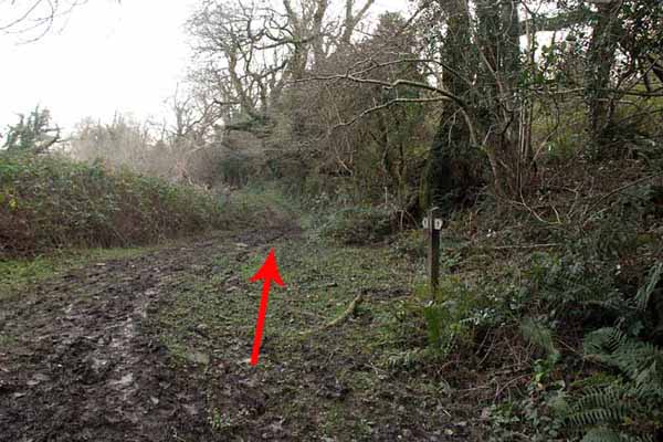
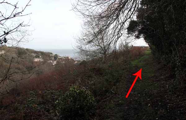
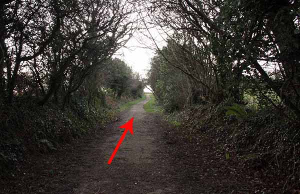
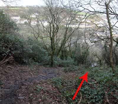
Continue straight on, now going uphill and continue straight on ignoring other paths.   
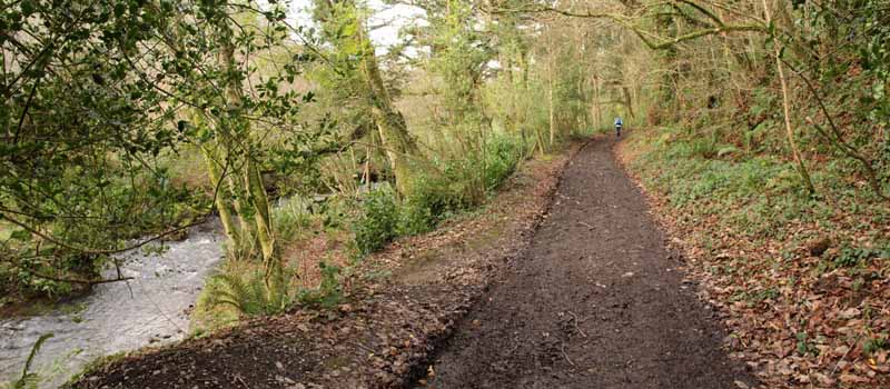
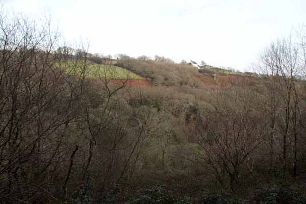
The path climbs high on the side of the valley in contrast to the outward journey below.   
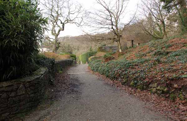
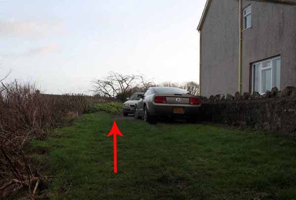
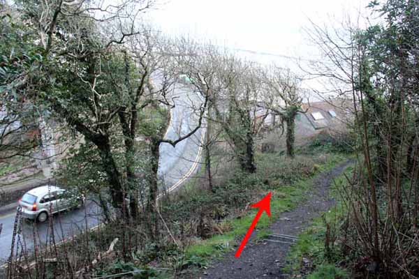
The path emerges at the side of a house.   
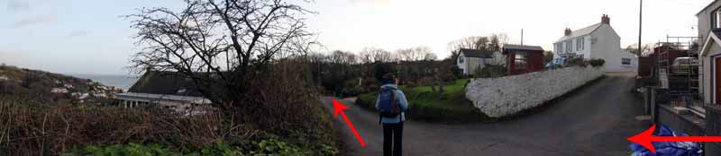
Continue straight down until the main road is reached.   
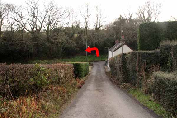
Turn left downhill then a few yards later cross the road and head uphill on Cliff Road.

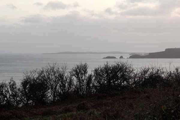
This no-through road comes to a gate and continues as a walking/cycling route on the cliff top with views to Tenby.   
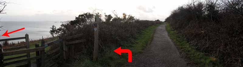
At the coast path post (sign missing) turn left through the gate and left again to double back onto the coast path.   
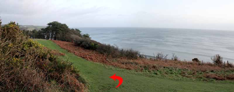
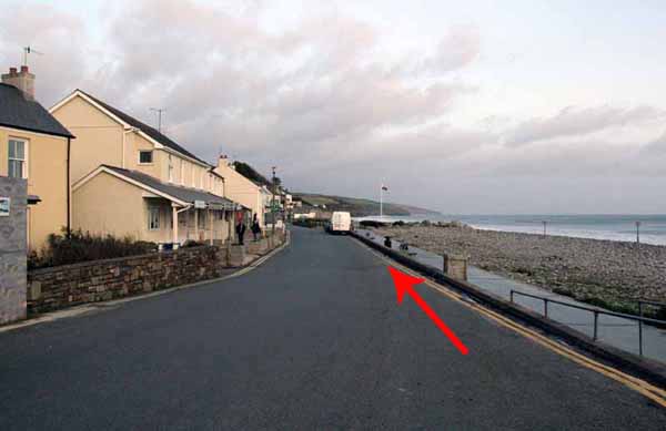
The path descends through woodland to Amroth at the base of the cliff.   
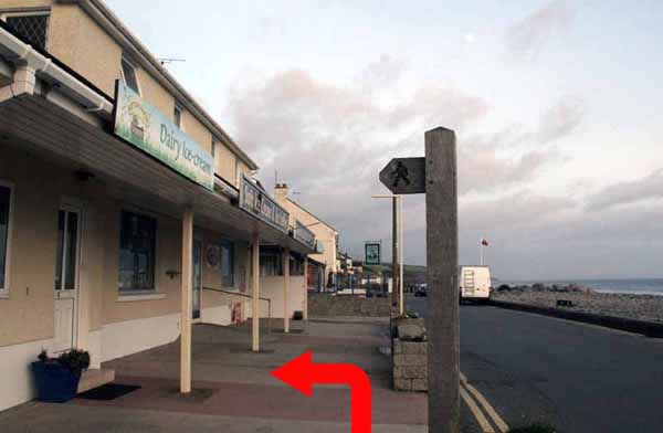
Watch for the footpath sign between shops that returns you to the start.


Ramblers Cymru and Swansea Ramblers provide these routes but accept no responsibility for those walking them.

If you would like to go on a walk but would prefer to do so with a group of people then click on our Programme section to see what walks we are leading.

We have walks for varying levels of ability and you get the chance to see the countryside in places you might never go by yourself!


Maps of the Walk


Ordnance Survey map of the route to walk
Resizable and draggable
(Can be reset to original dimensions by refreshing the page)
Green Swansea Ramblers logo markers where present can be clicked to provide more information


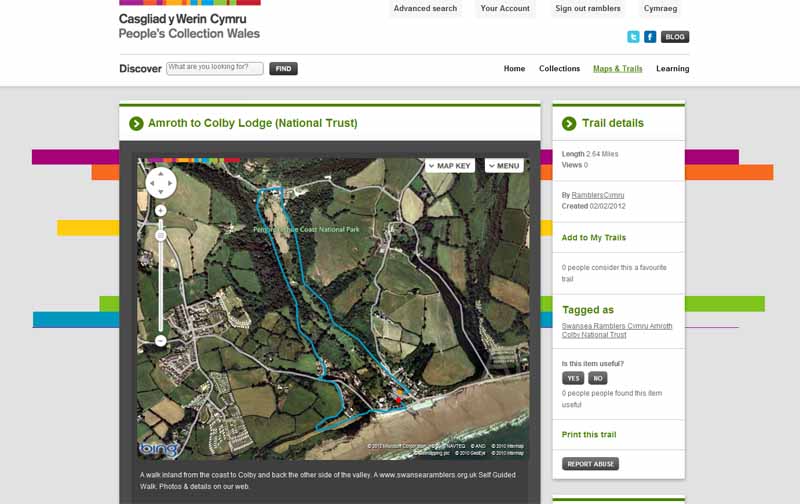
This aerial map is resizable and draggable
(Can be reset to original dimensions by refreshing the page)

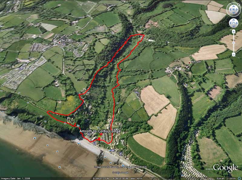
A 25,000 Ordnance Survey map of the area
can be viewed by clicking on the above 'View Larger Map' option
(applies only if the above is a Bing map, not a Google map )


Peoples Collection link

The route of this walk has been added to The National Museum of Wales' Peoples Collection Web site.
A choice of aerial imagery or historic Ordnance Survey mapping is available.
Click the map to enter their web site (opens in a new browser window)
or copy and paste this link into a new browser window.
http://www.peoplescollectionwales.co.uk/Trail/836-amroth-to-colby-lodge-national-trust


Google Earth view of walk
If you have Google Earth installed then download the route by clicking the image

Google Earth allows you to fly over the route and see it from different angles
(The Google Earth application can be downloaded and installed from the options on the Google search page)


Photographs of the Walk


Photograph of Walking Route - Image 1
Turn left out of the car park


Photograph of Walking Route - Image 2
Head uphill


Photograph of Walking Route - Image 3
Bear left onto the side road.
the footpath sign is ahead on the left


Photograph of Walking Route - Image 4


Photograph of Walking Route - Image 5
Continue straight on for about a mile


Photograph of Walking Route - Image 6
The tarmacadam ends after the houses


Photograph of Walking Route - Image 7
Path bends left. Ignore the other paths


Photograph of Walking Route - Image 8
Bear right on the higher path above the footbridge


Photograph of Walking Route - Image 9


Photograph of Walking Route - Image 10


Photograph of Walking Route - Image 11
Continue past the gate


Photograph of Walking Route - Image 12
Ignore the path on the right


Photograph of Walking Route - Image 13
Colby Lodge up ahead


Photograph of Walking Route - Image 14
Continue on to the tea rooms and then onto the road


Photograph of Walking Route - Image 15
Onto the road after the tea rooms and turn left


Photograph of Walking Route - Image 16
After a few yards on the road bear left at the bridleway sign


Photograph of Walking Route - Image 17


Photograph of Walking Route - Image 18
Cross the footbridge


Photograph of Walking Route - Image 19


Photograph of Walking Route - Image 20


Photograph of Walking Route - Image 21
Bear left back into the garden and follow the level straight track


Photograph of Walking Route - Image 22
Look back at Colby Lodge


Photograph of Walking Route - Image 23


Photograph of Walking Route - Image 24
Keep to the straight level path


Photograph of Walking Route - Image 25
Go past the pergola


Photograph of Walking Route - Image 26


Photograph of Walking Route - Image 27
Continue through the gate and ascend straight ahead


Photograph of Walking Route - Image 28


Photograph of Walking Route - Image 29
An old culvert


Photograph of Walking Route - Image 30
Views of the valley from the path


Photograph of Walking Route - Image 31
Amroth and the sea come into view


Photograph of Walking Route - Image 32
Path emerges onto a lane


Photograph of Walking Route - Image 33
Continue straight down the lane


Photograph of Walking Route - Image 34
Turn left downhill at the junction, watching for traffic


Photograph of Walking Route - Image 35
After a few yards turn right uphill


Photograph of Walking Route - Image 36
Cliff Road leads to a path and cycle route


Photograph of Walking Route - Image 37
At the end of the road go throught the gate


Photograph of Walking Route - Image 38


Photograph of Walking Route - Image 39
Tenby and Caldey Island across the water


Photograph of Walking Route - Image 40
At the signpost turn left through the gate


Photograph of Walking Route - Image 41
Turn left again to head for Amroth


Photograph of Walking Route - Image 42


Photograph of Walking Route - Image 43
Descend the steps


Photograph of Walking Route - Image 44


Photograph of Walking Route - Image 45
Follow the pavement, watching for the footpath between the buildings


Photograph of Walking Route - Image 46
Follow the footpath sign to the Car park


Photograph of Walking Route - Image 47
Back to the car park


The statistics for the walk can be seen above.  The graph can be dragged to a different position over the map.
Hover over the bottom of the map for the Play button and controls to toggle between map and graph.
The cog wheel allows you to switch between satellite and terrain views as well as Miles and kilometres.
(If you have a blank screen then you need to download the latest version of Flash Player to view the map)


More information about walking in Wales is available at:    www.ramblers.org.uk/wales

Ramblers Cymru and Swansea Ramblers provide this route but accept no responsibility for those walking it

All photographs Copyright 2012 Andrew Morgan. All rights reserved


Swansea Ramblers hope you enjoy doing this walk.

Over time things can change on the walk

- for example - path diversions, new gates instead of stiles or maybe the path has become blocked.

If you do find anything different on the way then let us know:

1. Which walk you have been on.

2. The type and location of the change or the problem you have experienced.


Of course you may just like to tell us that you have done the walk and whether you enjoyed it.

Use the link below to email us about your walk.

We'll look forward to hearing from you.


If the email link is not displayed above or is not supported by your email setup, manually type in our email address
address


Back to top

Our use of Cookies

Our Privacy Policy


Valid HTML 4.01 Transitional