Walk Description
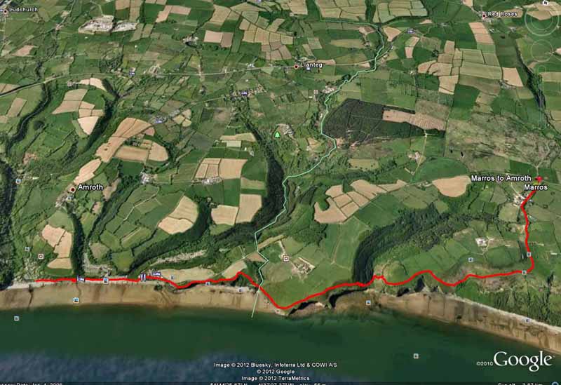
This walk on the All Wales Coast Path picks up from where we left off on the Pendine to Marros walk.
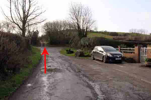
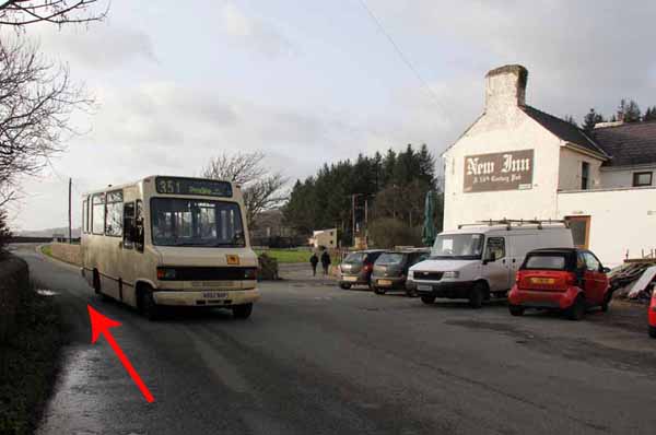
Catch the bus by The Amroth Arms to Marros (Monday - Saturday & check times before travel).
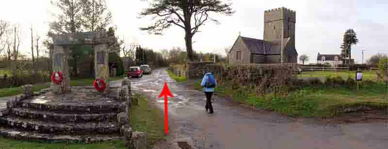
Turn south past Marros Church along a single track road.
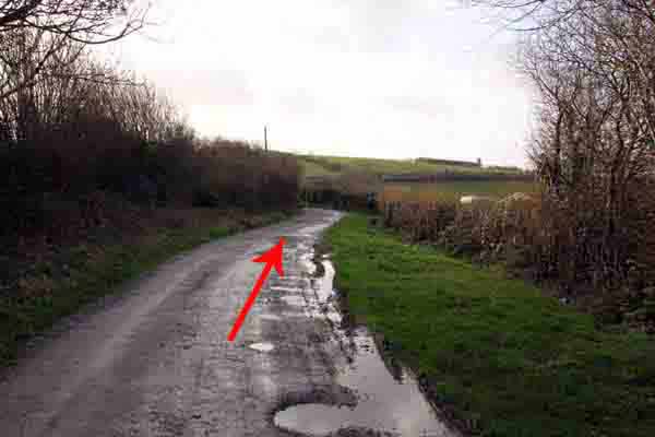
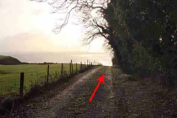
After about half a mile at a cross roads the path continues straight on with views to Worms Head.
Descend the track to the Underhill Farm hairpin bend.
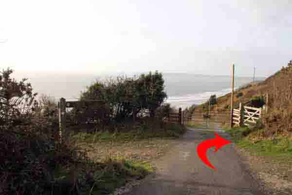
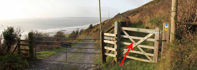
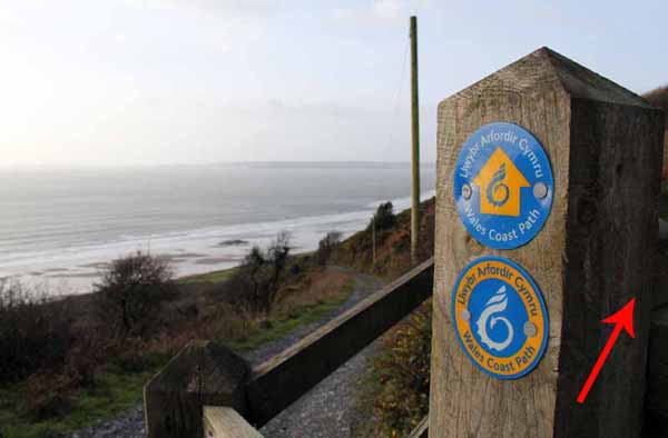
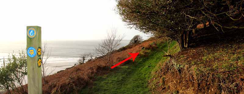
Turn right, through the pedestrian gate towards Amroth following the coast path signs.
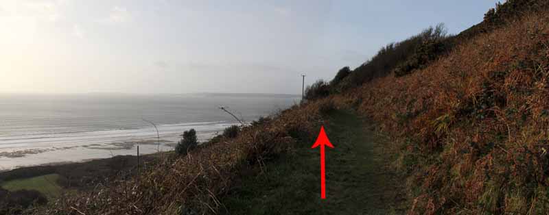
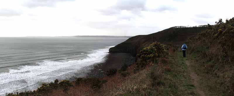
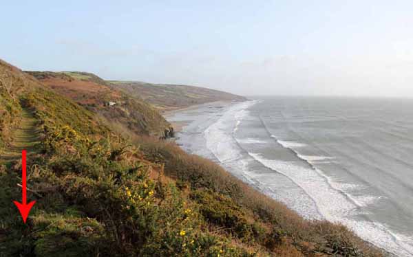
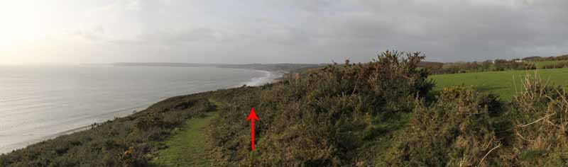
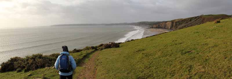
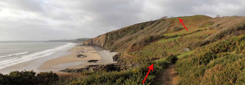
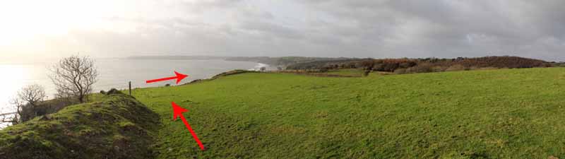
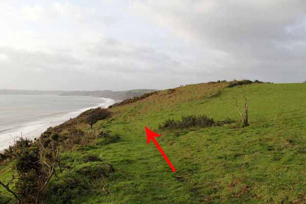
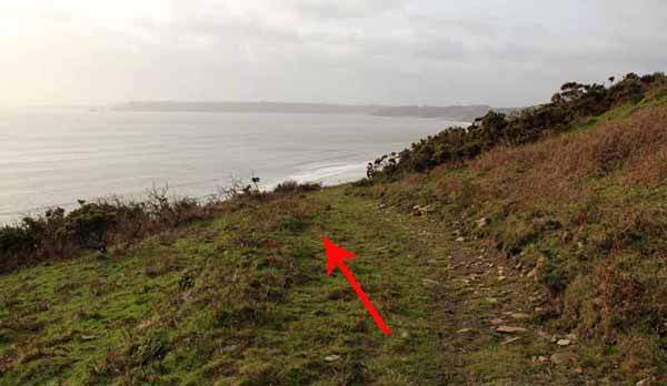
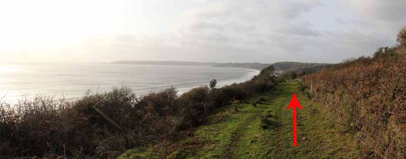
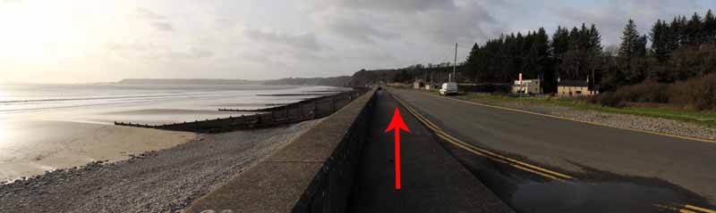
There is good coastal scenery along most of this walk.
The path passes Top Castle hill fort just off the path on the access land.
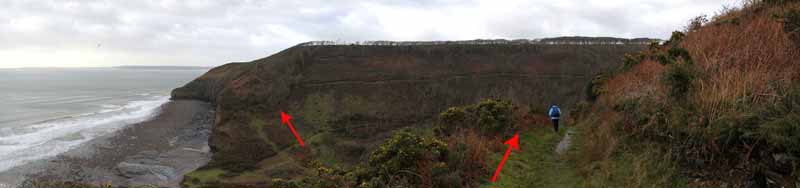
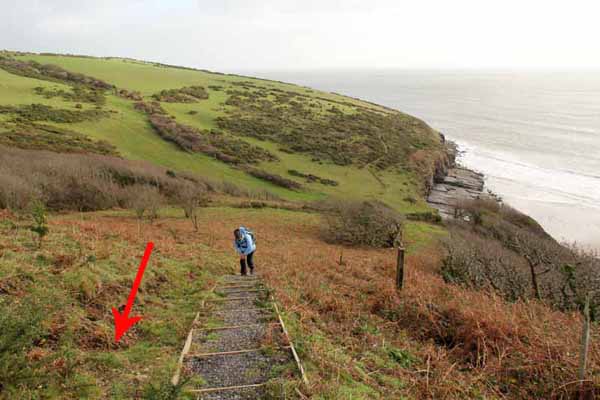
The coast path now descends very steeply into the valley so a walking stick would be useful.
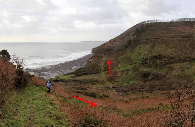
Once at the bottom the path steeply climbs the other side.
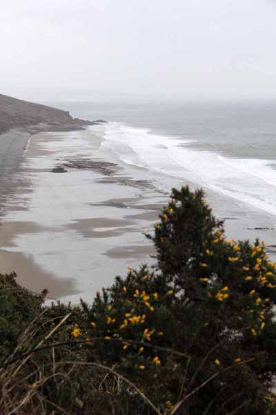
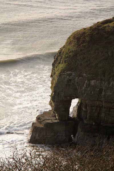
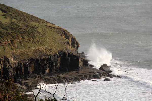
Watch out below for where the sea has created a natural arch in the cliff and take time to look back at Marros Sands and the scenery.
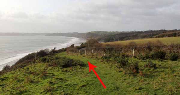
Tenby and Caldey Island are ahead of us but too far away for today's walk.
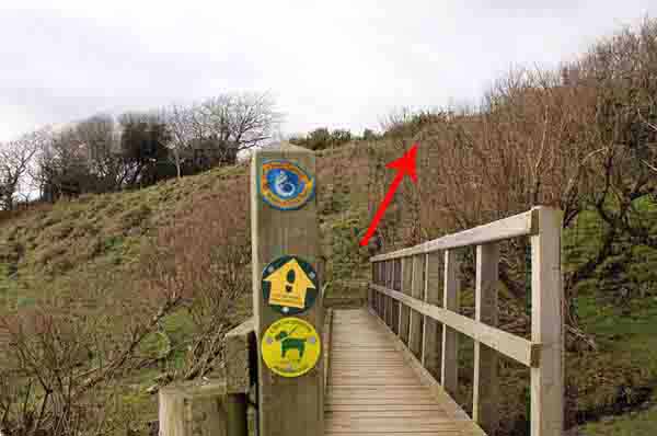
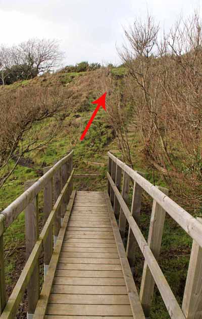
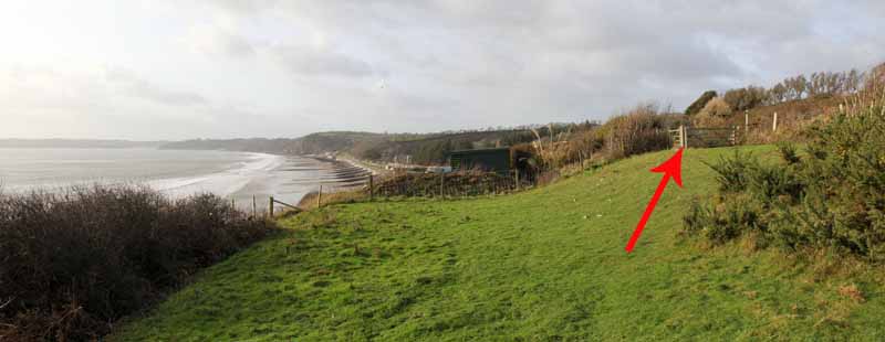
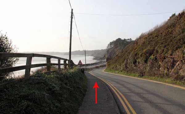
The path gradually descends along Telpyn Point to the Carmarthenshire border where a bridge takes you into Pembrokeshire.
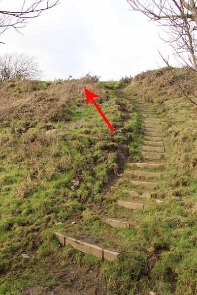
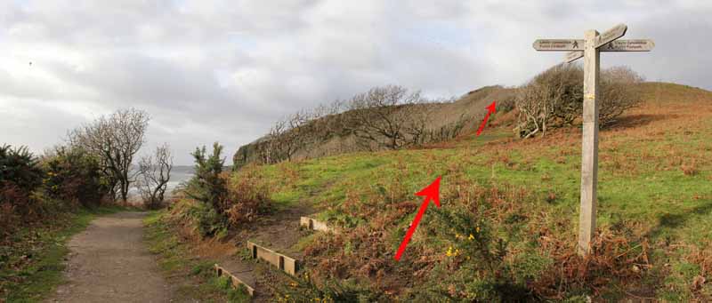
This section goes steeply up the next cliff to a path where a signpost sends you even more steeply uphill.
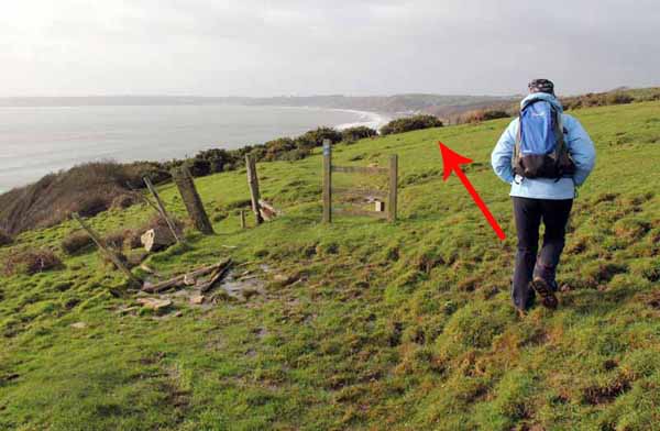
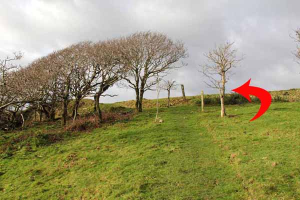
At the top turn left by small trees to open grassland.
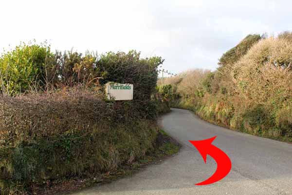
The next way-marked post suggests you go right but instead head left on the coast path which soon becomes apparent and curves around to run parallel with the Amroth Road until you join it at Merrifields.
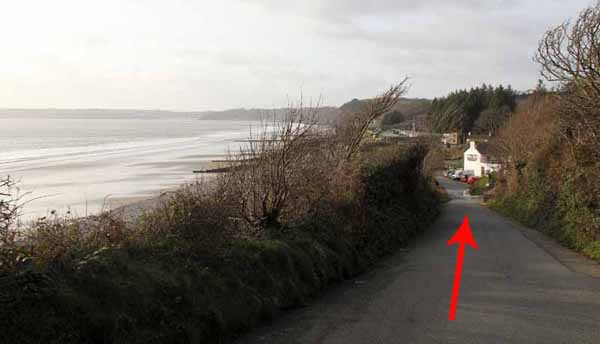
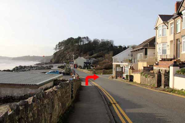
Take care walking down the road to the start of The Pembrokeshire Coast Path at New Inn. - You are on the Appalachian Trail at last!
About another mile along the seafront returns you to the start point near The Amroth Arms.
Ramblers Cymru and Swansea Ramblers provide these routes but accept no responsibility for those walking them.
If you would like to go on a walk but would prefer to do so with a group of people then click on our Programme section to see what walks we are leading.
We have walks for varying levels of ability and you get the chance to see the countryside in places you might never go by yourself!
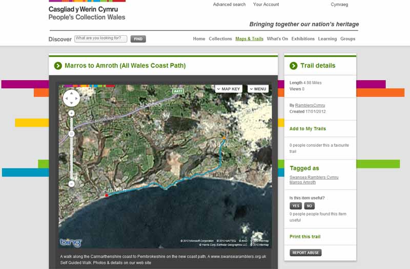
This aerial map is resizable and draggable
(Can be reset to original dimensions by refreshing the page)
A 25,000 Ordnance Survey map of the area
can be viewed by clicking on the above 'View Larger Map' option
(applies only if the above is a Bing map, not a Google map )
The statistics for the walk can be seen above. The graph can be dragged to a different position over the map.
Hover over the bottom of the map for the Play button and controls to toggle between map and graph.
The cog wheel allows you to switch between satellite and terrain views as well as Miles and kilometres.
(If you have a blank screen then you need to download the latest version of Flash Player to view the map)