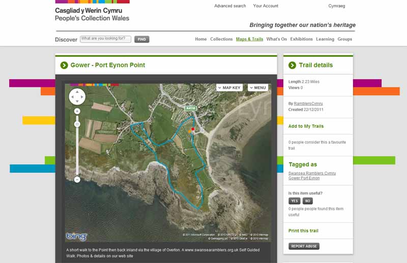
Ramblers Cymru Logo Image of Countryside
Swansea Ramblers Logo
at the heart of walking


Swansea Ramblers Walk


Port Eynon Point


Walk Start / Finish Location:
Port Eynon

Walk Distance: 2 miles (1.5 hours)

Walk Level: Easy with a climb to the Point and a steep path down

Parking: Port Eynon Car Park (Charge)

Transport: Traveline - www.traveline.info   - or - Telephone 0871 200 22 33


Walk Description


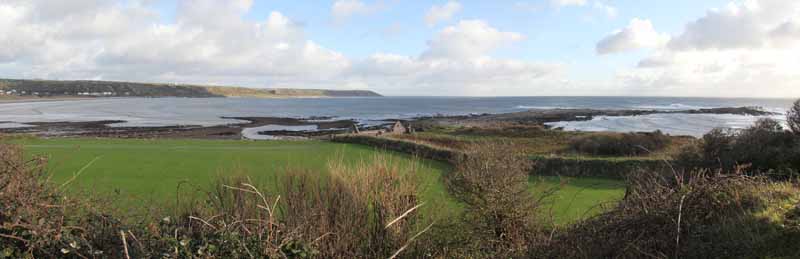
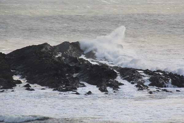
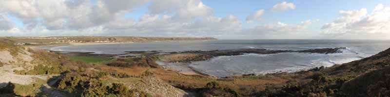
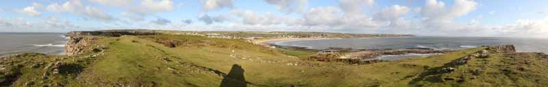
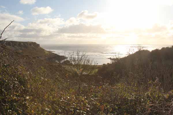
A short walk to the cliff top view point of Port Eynon Point with (probably) a very breezy refreshing walk on part of the All Wales Coast Path before turning inland to Overton.

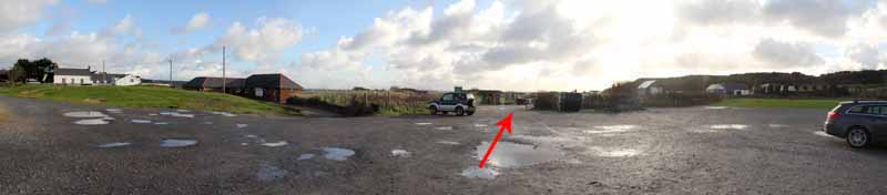
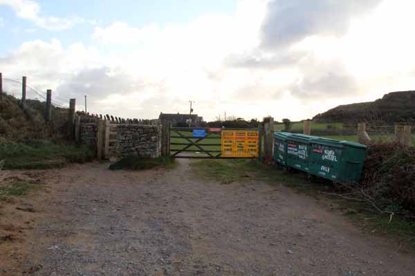
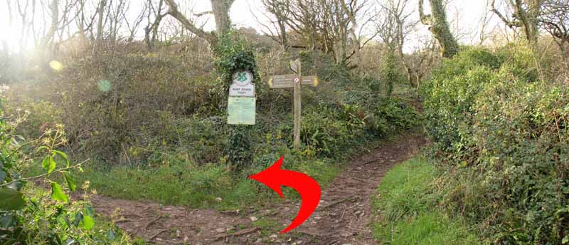
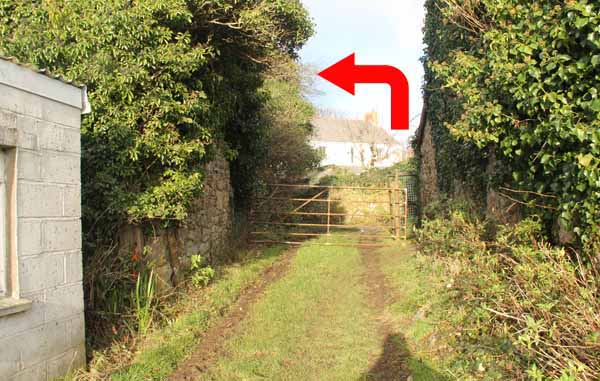
Bear right out of the car park following the dirt track. 
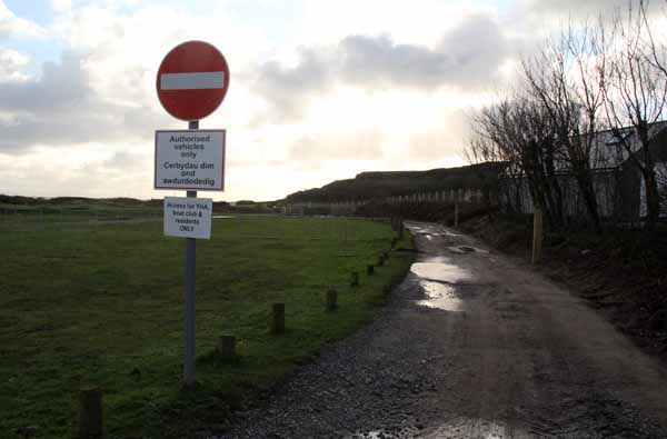
Go through a gate and continue towards the hostel. 
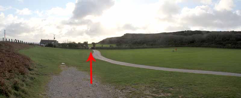
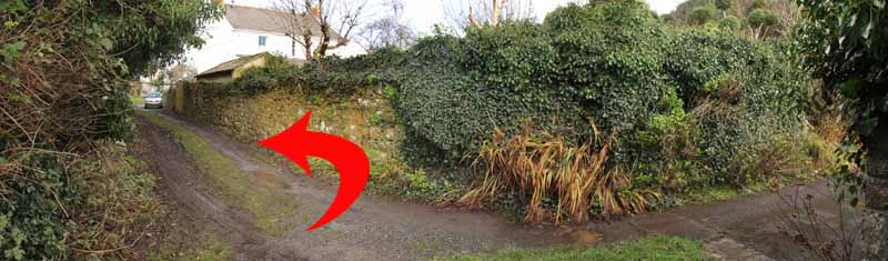
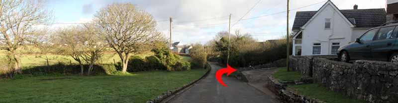
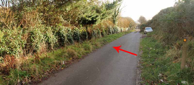
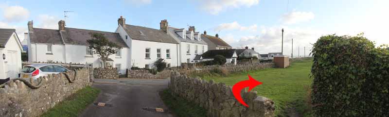
Turn right after another gate and head inland along a narrow lane. 
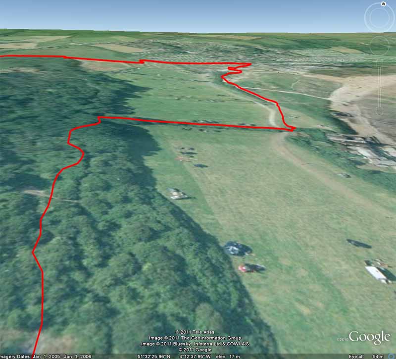
Turn left at the junction and gradually climb. 
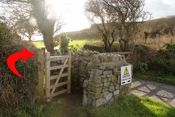
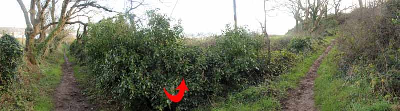
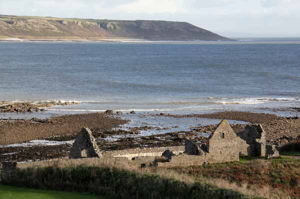
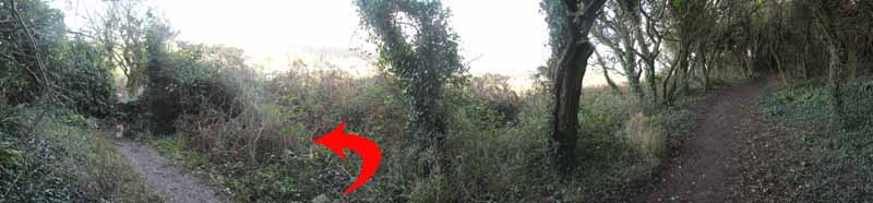
The path then descends to a junction (where you could detour left to see the Salt house). 
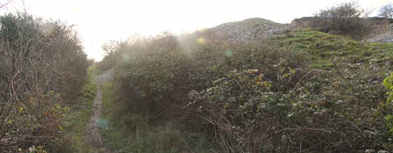
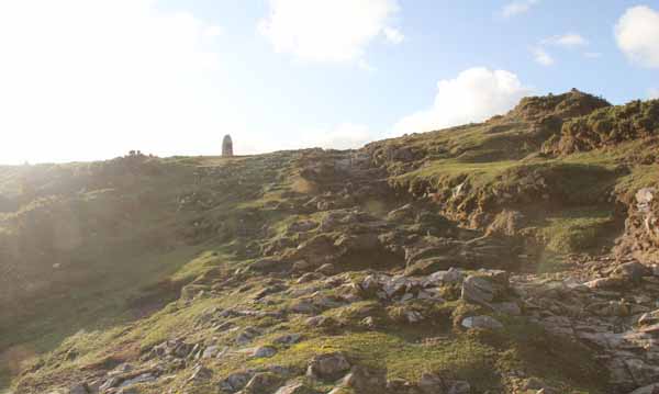
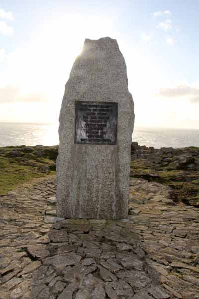
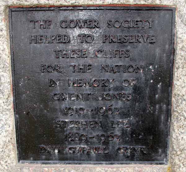
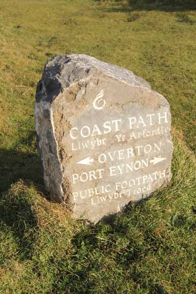
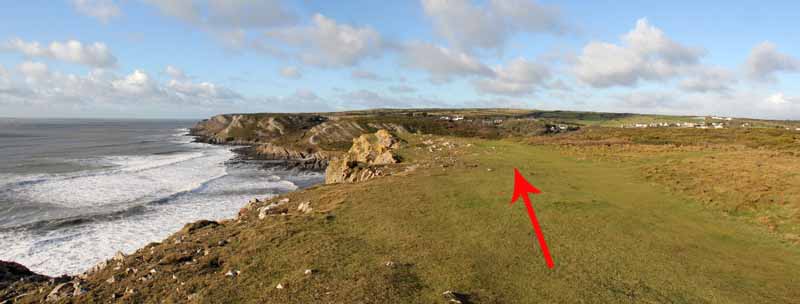
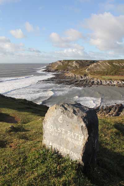
Turn right and ascend a gravel then bedrock path to the Point where stands the memorial stone to founders of the Gower Society.

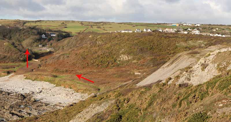
Continue along the cliff then descend steeply to the lower path at the edge of the bay. 
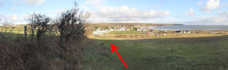
Turn inland alongside a water treatment plant. 
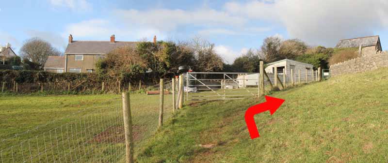
Follow the signs around the edge of the next field then turn right near the house. 
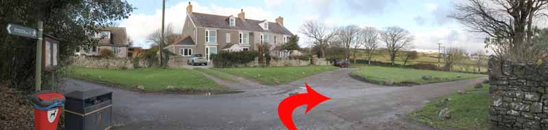
Turn left to arrive at Overton Green.

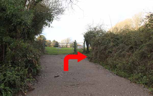
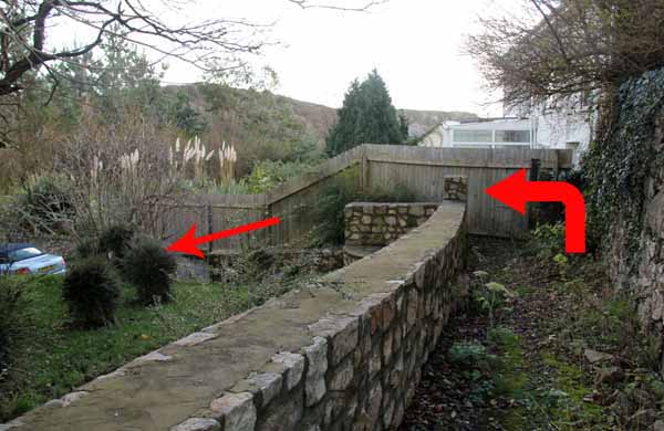
Turn right onto the road then after a short distance go right on a narrow path between two houses leading to an access road. 
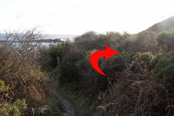
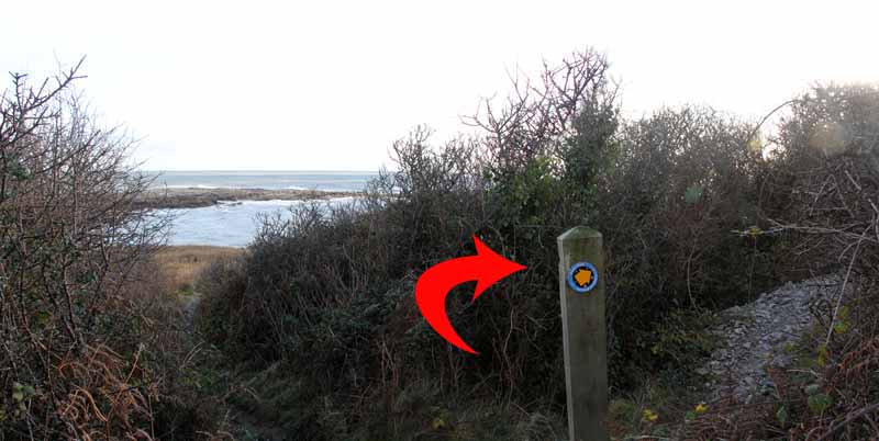
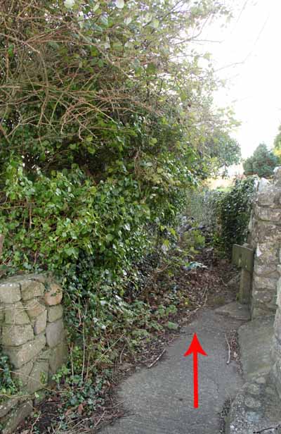
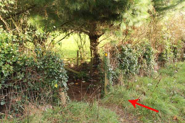
Turn right, watching for the path on the left. 
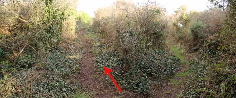
This was completely blocked for some years until Swansea Ramblers helped the council to re-open it.
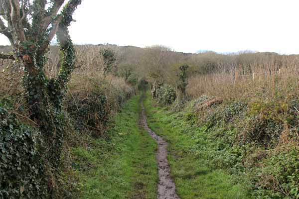
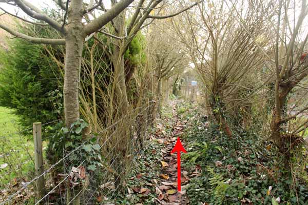
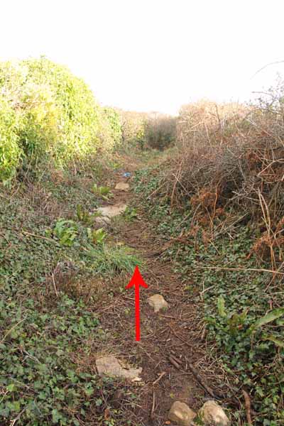
The path climbs through woodland with glimpses of coastal views out across Overton Mere. 
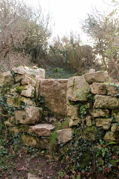
Cross an ancient stone stile, found when the undergrowth was removed. 
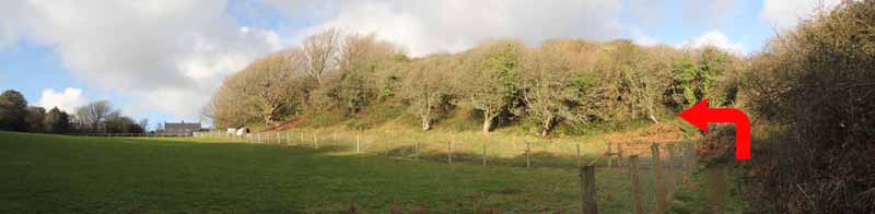
At a fork in the path bear left. Take great care here not to trip on the uneven surface of this path that had disappeared for many years. 
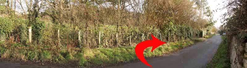
The path descends and turns right. 
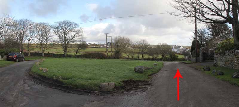
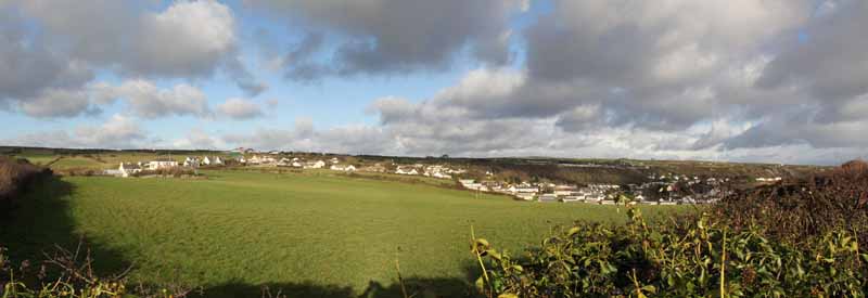
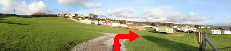
Watch for the path on the left and follow the hedgerow across a field into the caravan park. 
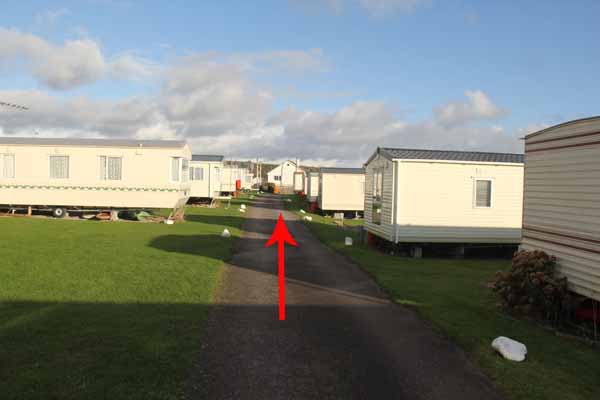
Turn right along the track between the caravans. After exiting the site turn right to the start.


Ramblers Cymru and Swansea Ramblers provide these routes but accept no responsibility for those walking them.

If you would like to go on a walk but would prefer to do so with a group of people then click on our Programme section to see what walks we are leading.

We have walks for varying levels of ability and you get the chance to see the countryside in places you might never go by yourself!


Maps of the Walk


Ordnance Survey map of the route to walk
Resizable and draggable
(Can be reset to original dimensions by refreshing the page)
Green Swansea Ramblers logo markers where present can be clicked to provide more information

Peoples Collection link

The route of this walk has been added to The National Museum of Wales' Peoples Collection Web site.
A choice of aerial imagery or historic Ordnance Survey mapping is available.
Click the map to enter their web site (opens in a new browser window)
or copy and paste this link into a new browser window.
http://www.peoplescollectionwales.co.uk/Trail/810-gower---port-eynon-point


Google Earth view of walk
If you have Google Earth installed then download the route by clicking the image

Google Earth allows you to fly over the route and see it from different angles
(The Google Earth application can be downloaded and installed from the options on the Google search page)


Photographs of the Walk


Photograph of Walking Route - Image 1
Leave the car park and bear right


Photograph of Walking Route - Image 2
Follow the track


Photograph of Walking Route - Image 3
Continue straight on


Photograph of Walking Route - Image 4


Photograph of Walking Route - Image 5
Turn right into the lane


Photograph of Walking Route - Image 6


Photograph of Walking Route - Image 7
Turn left at the junction


Photograph of Walking Route - Image 8
Looking back from the junction


Photograph of Walking Route - Image 9


Photograph of Walking Route - Image 10
View over the bay at Port Eynon


Photograph of Walking Route - Image 11
The ruined salt house


Photograph of Walking Route - Image 12


Photograph of Walking Route - Image 13
Bear right uphill


Photograph of Walking Route - Image 14


Photograph of Walking Route - Image 15
Follow the gravel path


Photograph of Walking Route - Image 16


Photograph of Walking Route - Image 17
The monument to Gower Society founders


Photograph of Walking Route - Image 18


Photograph of Walking Route - Image 19


Photograph of Walking Route - Image 20
View back from the stone


Photograph of Walking Route - Image 21


Photograph of Walking Route - Image 22
Continue along the headland


Photograph of Walking Route - Image 23


Photograph of Walking Route - Image 24
Descend a steep path then turn inland


Photograph of Walking Route - Image 25
Above the water treatment plant turn right through the gate


Photograph of Walking Route - Image 26


Photograph of Walking Route - Image 27


Photograph of Walking Route - Image 28


Photograph of Walking Route - Image 29


Photograph of Walking Route - Image 30
At the Green in Overton turn right


Photograph of Walking Route - Image 31


Photograph of Walking Route - Image 32
Follow the narrow footpath between the houses


Photograph of Walking Route - Image 33


Photograph of Walking Route - Image 34


Photograph of Walking Route - Image 35
Turn right on the road


Photograph of Walking Route - Image 36
Go left onto a footpath


Photograph of Walking Route - Image 37


Photograph of Walking Route - Image 38


Photograph of Walking Route - Image 39


Photograph of Walking Route - Image 40
Old stone stile uncovered by our work party after many years hidden in undergrowth


Photograph of Walking Route - Image 41
Take the left fork


Photograph of Walking Route - Image 42
Watch carefully for many trip hazards on the uneven surface


Photograph of Walking Route - Image 43
View towards Port Eynon


Photograph of Walking Route - Image 44


Photograph of Walking Route - Image 45
Take the left turn over a low stone stile


Photograph of Walking Route - Image 46
Head for the caravan park


Photograph of Walking Route - Image 47
Turn right to go between the caravans


Photograph of Walking Route - Image 48


Photograph of Walking Route - Image 49
After leaving the caravan site turn right into the car park


More information about walking in Wales is available at:    www.ramblers.org.uk/wales

Ramblers Cymru and Swansea Ramblers provide this route but accept no responsibility for those walking it

All photographs Copyright 2012 Andrew Morgan. All rights reserved


Swansea Ramblers hope you enjoy doing this walk.

Over time things can change on the walk

- for example - path diversions, new gates instead of stiles or maybe the path has become blocked.

If you do find anything different on the way then let us know:

1. Which walk you have been on.

2. The type and location of the change or the problem you have experienced.


Of course you may just like to tell us that you have done the walk and whether you enjoyed it.

Use the link below to email us about your walk.

We'll look forward to hearing from you.


If the email link is not displayed above or is not supported by your email setup, manually type in our email address
address


Back to top

Our use of Cookies

Our Privacy Policy


Valid HTML 4.01 Transitional