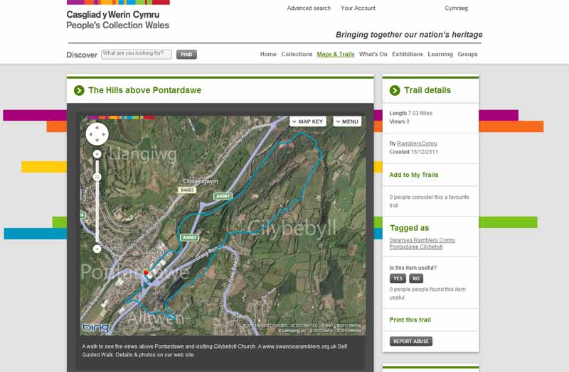
Ramblers Cymru Logo Image of Countryside
Swansea Ramblers Logo
at the heart of walking


Swansea Ramblers Walk


Pontardawe Hills


Walk Start / Finish Location:
Pontardawe, Herbert St

Walk Distance: 6 miles (3 hours)

Walk Level: Moderate - with a couple of steep climbs

Parking: Herbert Street Car Park (Charge)

Transport: Traveline - www.traveline.info   - or - Telephone 0871 200 22 33


Walk Description


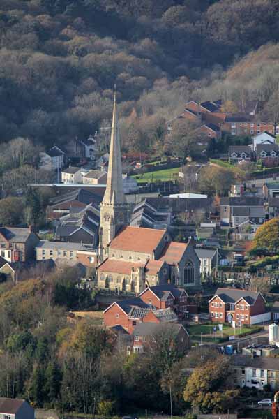
This walk visits Cilybebyll Church, high above Pontardawe and Alltwen Hill with views over the Swansea Valley.

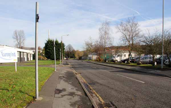
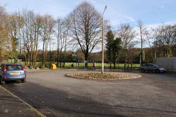
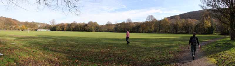
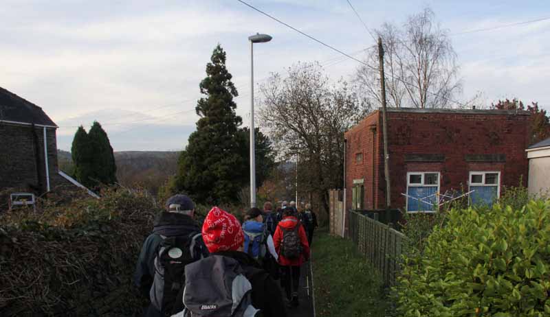
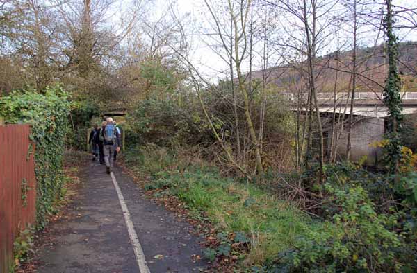
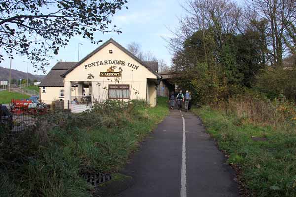
Turn left out of the car park and pass the industrial estate to enter Pontardawe Recreation Ground. 
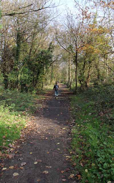
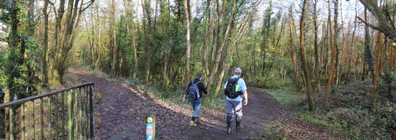
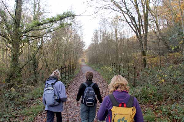
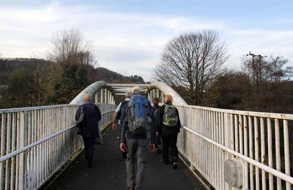
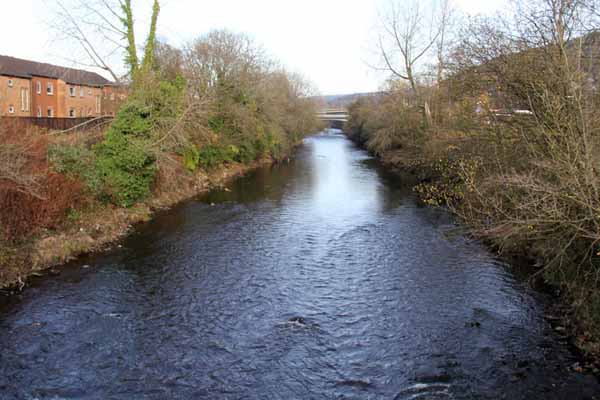
Turn right and follow cycle path 43 signs which cross a footbridge and then go north on a wide riverside track.

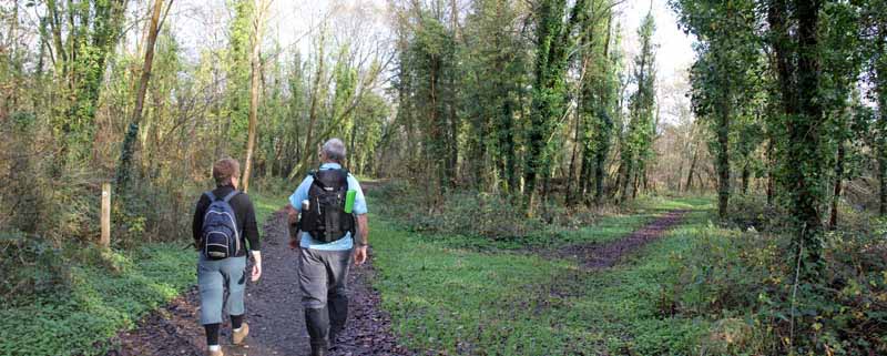
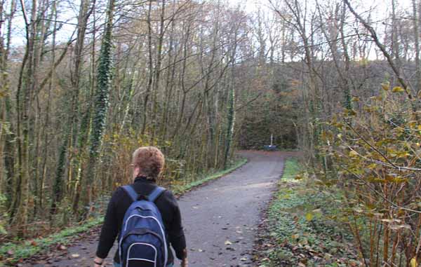
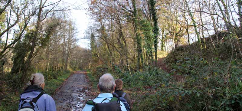
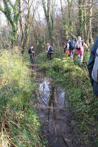
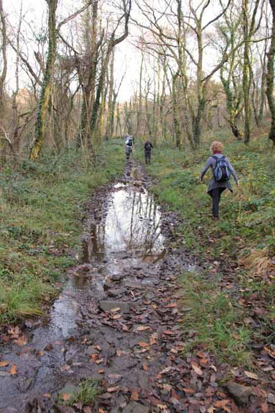
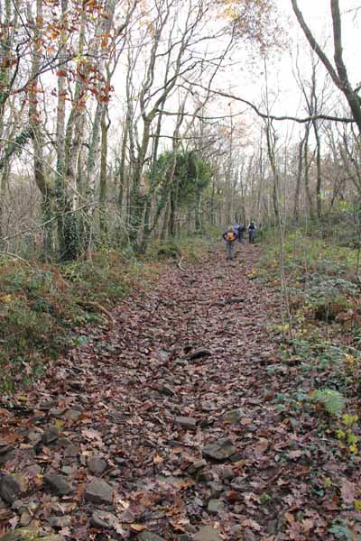
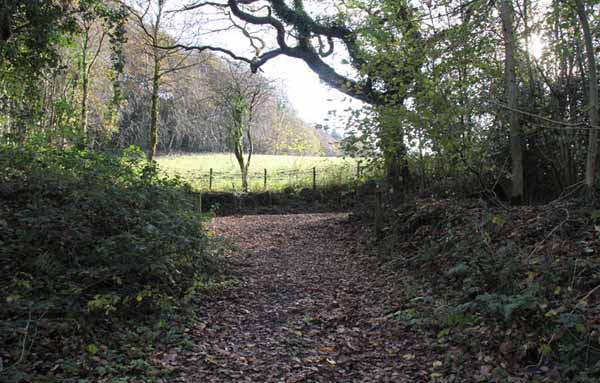
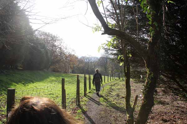
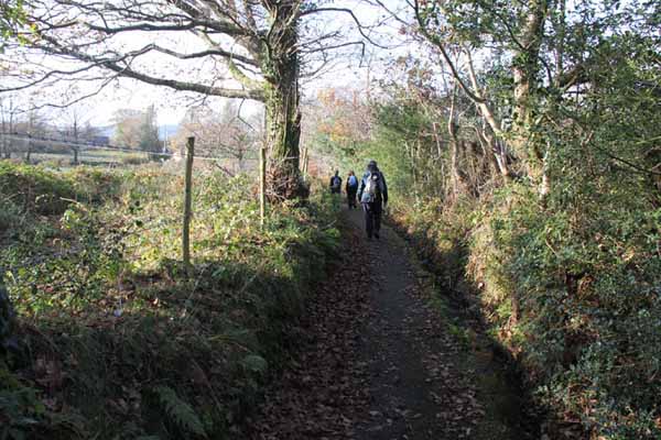
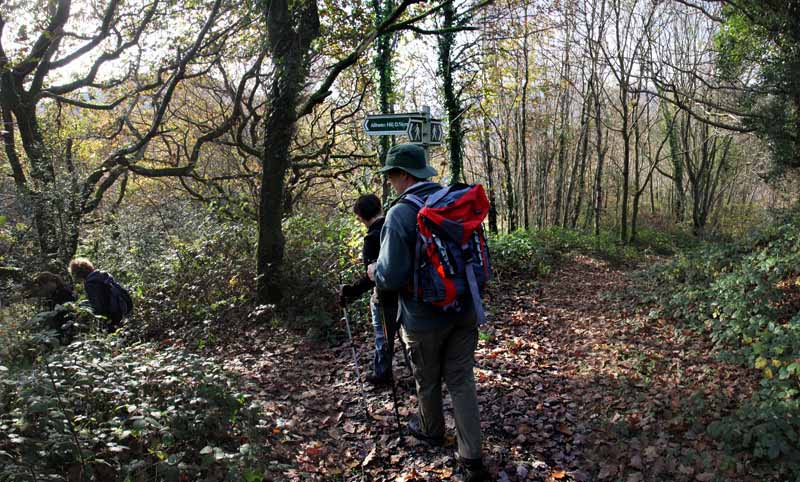
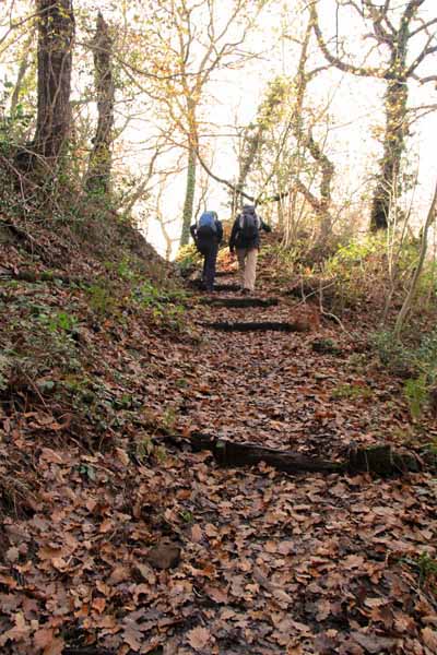
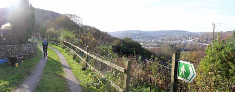
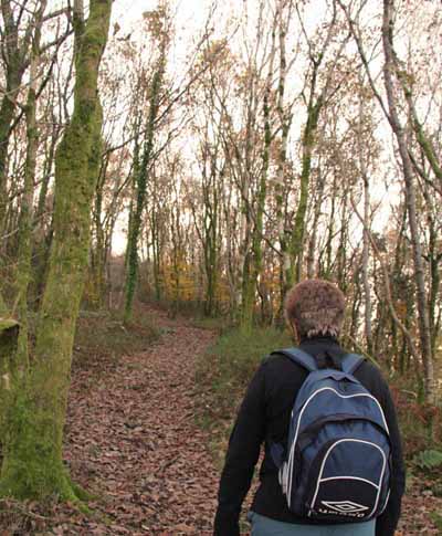
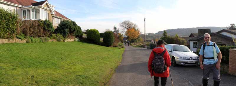
After a short distance turn right and climb the hill on a narrow curving path into an open area then continue to climb into woodland, wet in places, until you emerge onto a quiet road. 
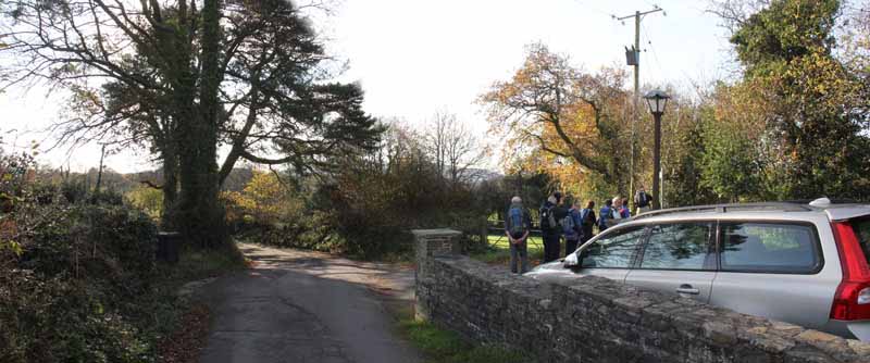
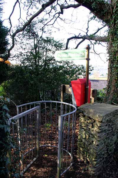
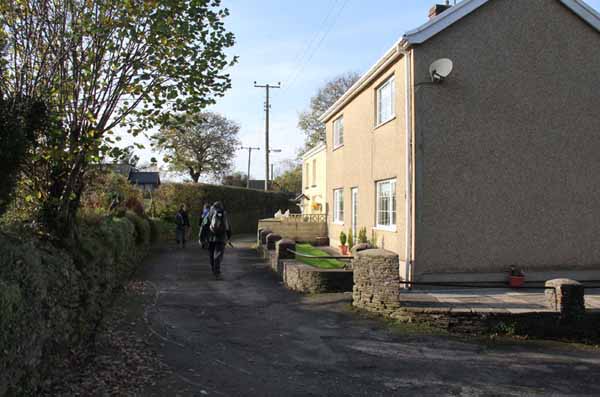
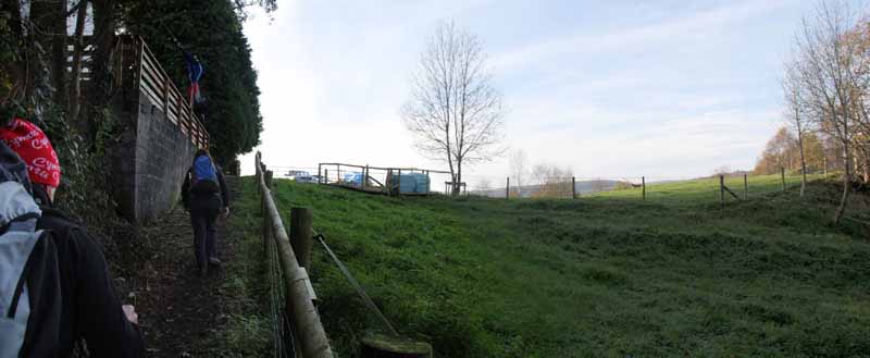
Turn right on this road to a footpath on the right by a gate immediately after a house. 
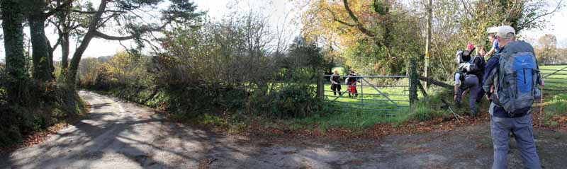
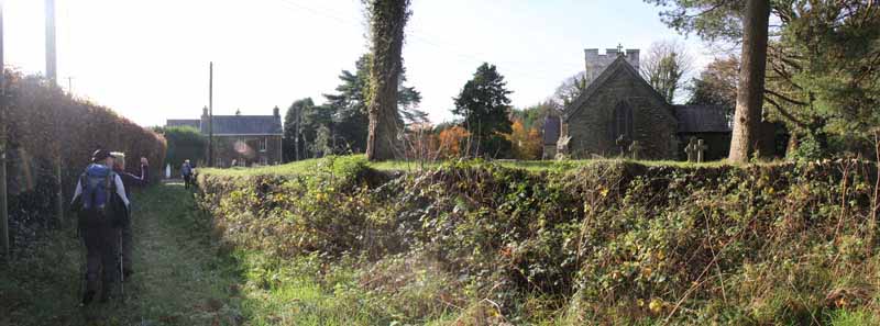
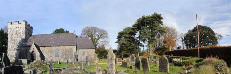
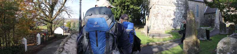
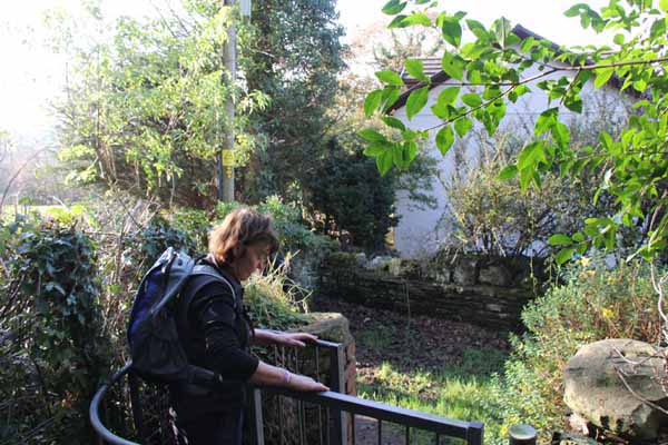
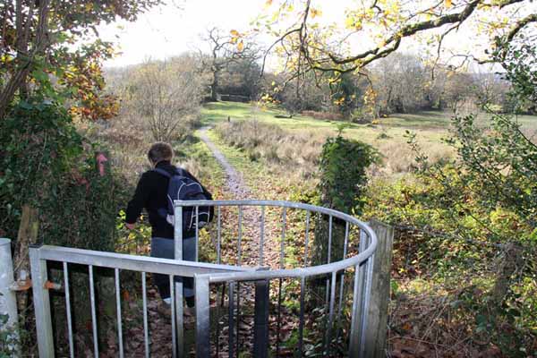
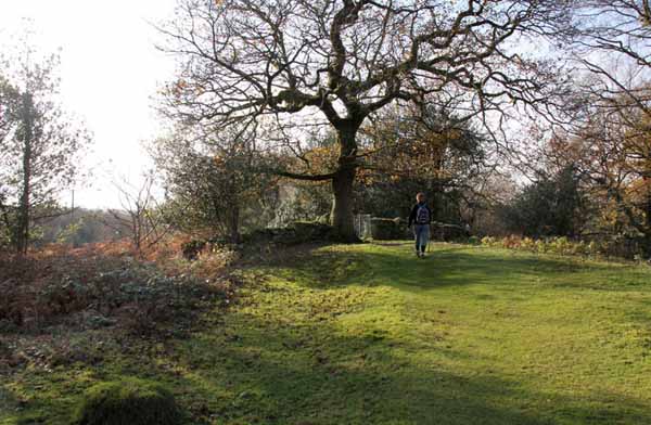
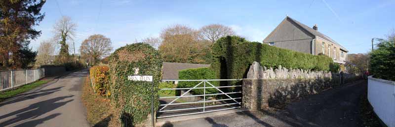
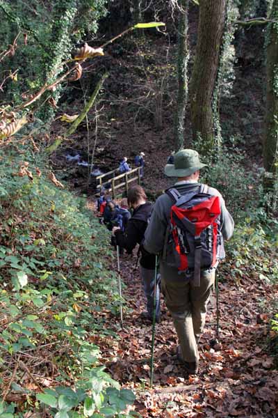
Go over another stile and through a kissing gate to the ancient church of Cilybebyll.

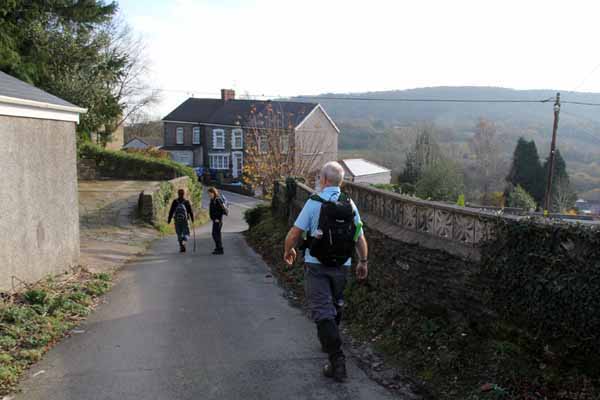
At the other side of the church descend a footpath to the left of the road. 
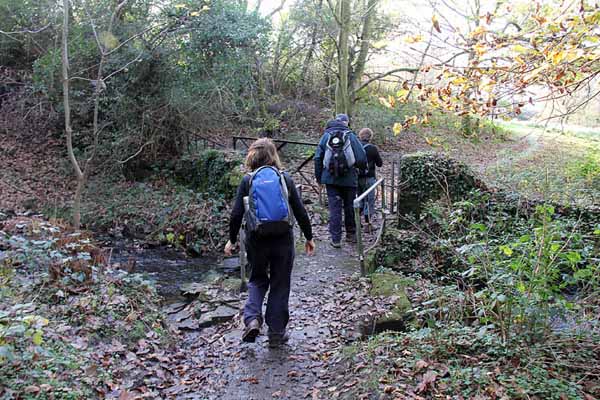
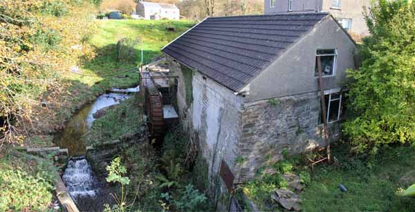
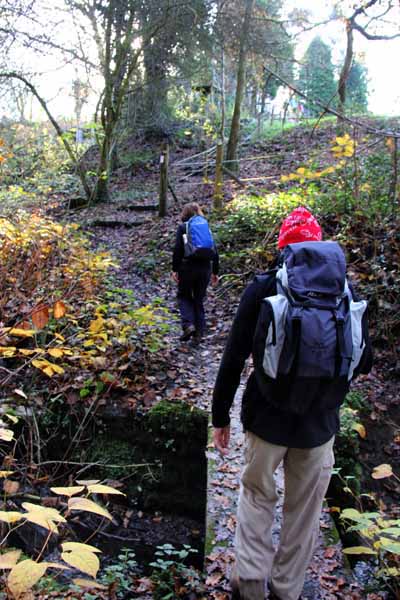
Go through kissing gates and over a stream to emerge in a street at Hen Felin. 
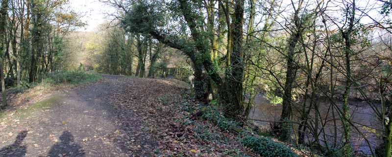
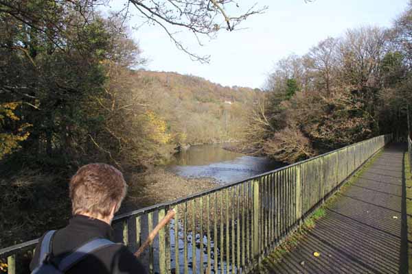
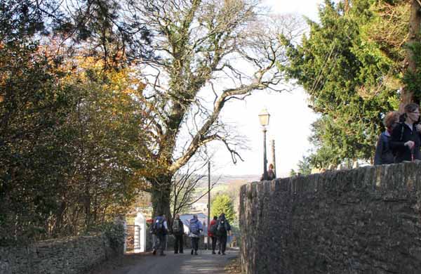
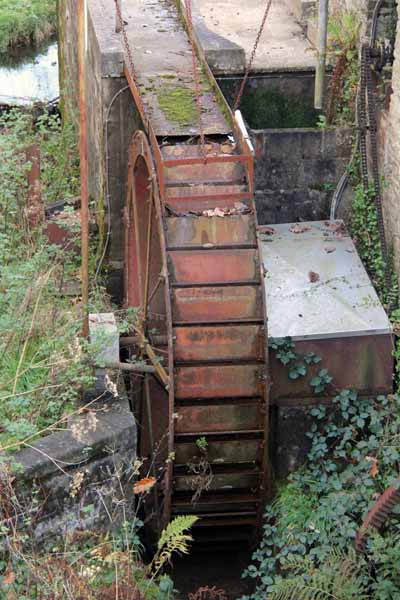
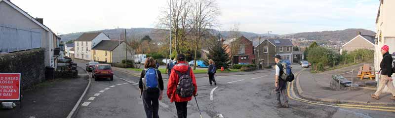
Briefly turn right onto the bridge to look down at the remains of the mill then return and descend the single track road. Turn left on Graig Gellinudd Road, watching for the river racing downhill. 
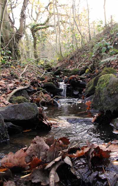
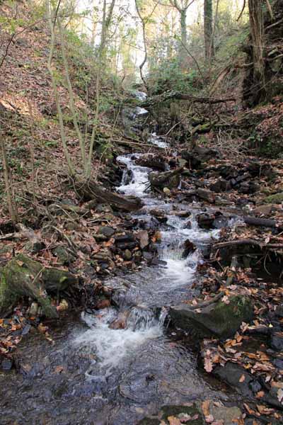
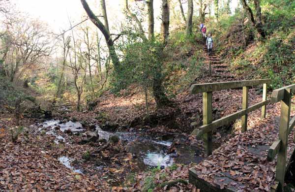
As the road bends right, descend left to a path junction and descend left down steps to a hidden cascade in a deep gorge. 
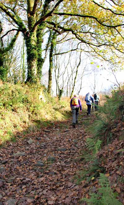
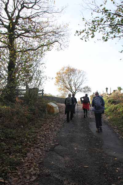
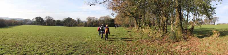
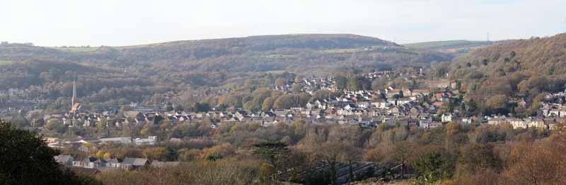
Ascend the opposite side and go up a farm track past a house on the left with views over Pontardawe. 
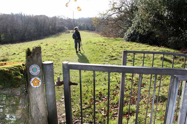
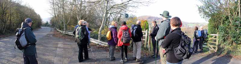
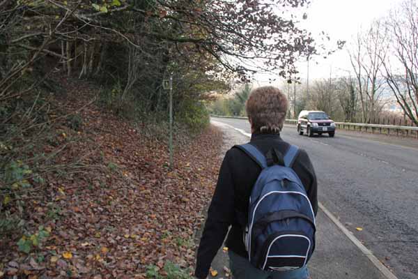
The gate leads onto the busy A474 so take care when crossing.

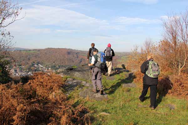
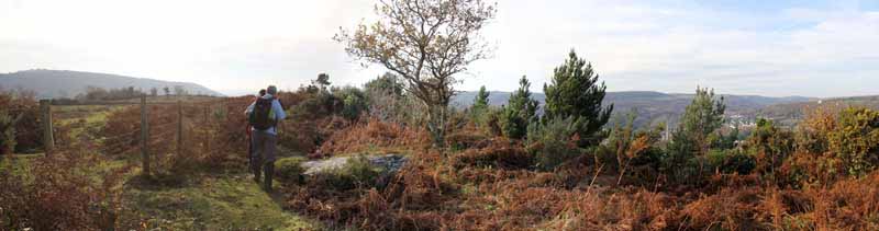
Descend the road to a path on the left and climb steeply to Alltwen Hill. 
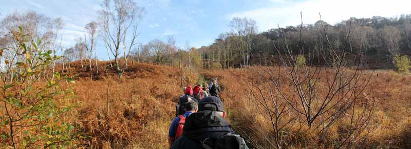
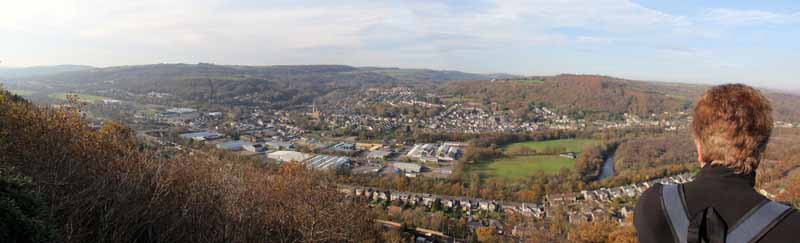
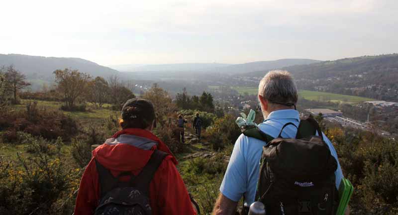
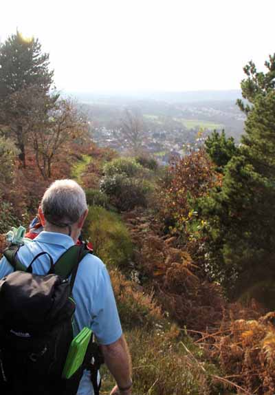
At the top turn right to the rocky outcrop and take in the expansive view of the Swansea Valley. 
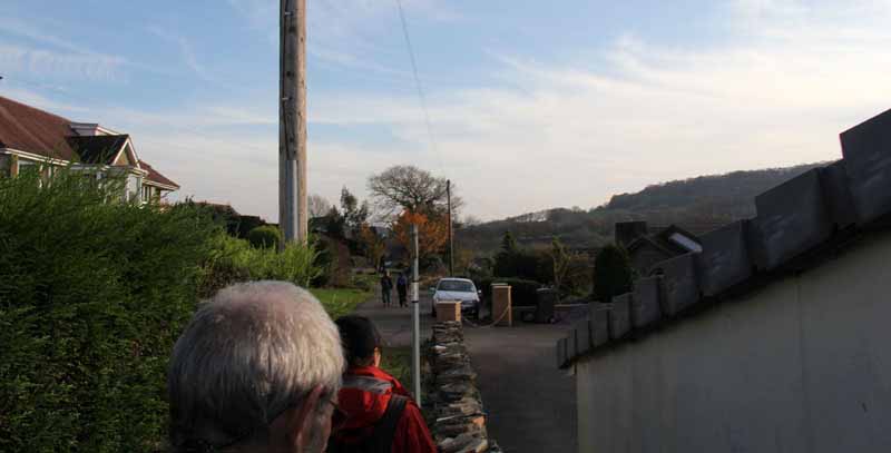
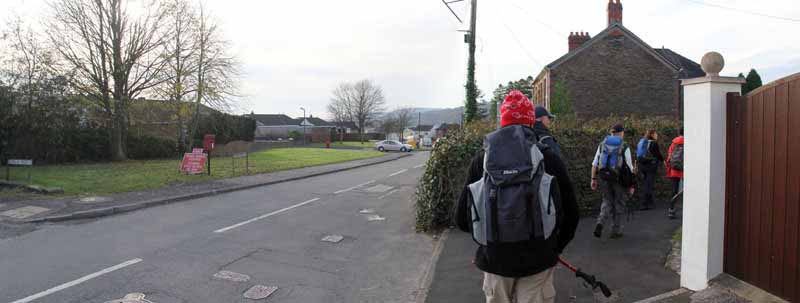
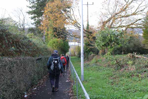
Follow the path as it descends past houses to the road in Alltwen. Descend the road to the junction and turn left. 
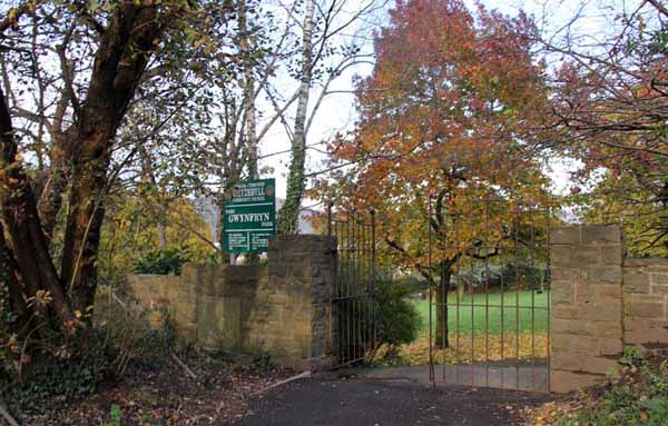
Cross and descend opposite Lon y Wern to pass Parc Gwynfryn. 
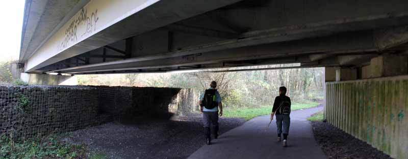
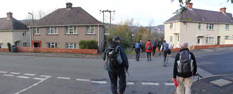
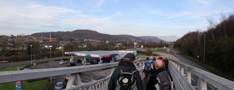
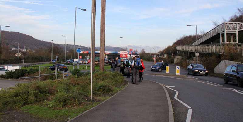
Go straight across the road and descend to the footbridge over the A4067 by Tesco. Turn left on the riverside road behind the Tesco car park and cross the new bridge over the Tawe. 
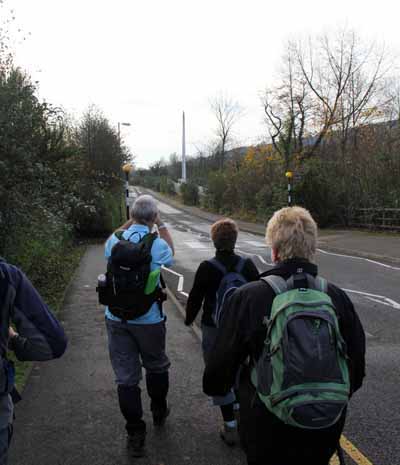
Turn right to follow the river under the old bridge and back to the start.


Ramblers Cymru and Swansea Ramblers provide these routes but accept no responsibility for those walking them.

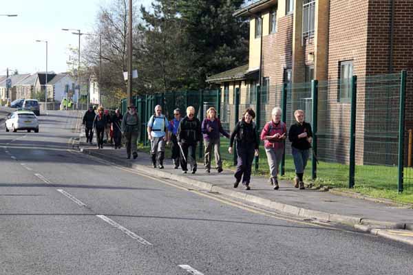
If you would like to go on a walk but would prefer to do so with a group of people then click on our Programme section to see what walks we are leading.

We have walks for varying levels of ability and you get the chance to see the countryside in places you might never go by yourself!


Maps of the Walk


Ordnance Survey map of the route to walk
Resizable and draggable
(Can be reset to original dimensions by refreshing the page)
Green Swansea Ramblers logo markers where present can be clicked to provide more information

Peoples Collection link

The route of this walk has been added to The National Museum of Wales' Peoples Collection Web site.
A choice of aerial imagery or historic Ordnance Survey mapping is available.
Click the map to enter their web site (opens in a new browser window)
or copy and paste this link into a new browser window.
http://www.peoplescollectionwales.co.uk/Trail/806-the-hills-above-pontardawe


Photographs of the Walk


Photograph of Walking Route - Image 1
Turn left out of Herbert Street Car Park


Photograph of Walking Route - Image 2
Go to the end of the road


Photograph of Walking Route - Image 3
Enter park and turn right


Photograph of Walking Route - Image 4
The right turn


Photograph of Walking Route - Image 5
Riverside path forms part of Cycle path 43


Photograph of Walking Route - Image 6


Photograph of Walking Route - Image 7
Cross bridge over Tawe


Photograph of Walking Route - Image 8


Photograph of Walking Route - Image 9
Follow cycle path signs


Photograph of Walking Route - Image 10


Photograph of Walking Route - Image 11
Under the 4067


Photograph of Walking Route - Image 12
Turn left to follow cycle path 43


Photograph of Walking Route - Image 13


Photograph of Walking Route - Image 14
Watch for the path on the right that ascends the hill


Photograph of Walking Route - Image 15


Photograph of Walking Route - Image 16


Photograph of Walking Route - Image 17
Can be wet at times


Photograph of Walking Route - Image 18


Photograph of Walking Route - Image 19
Go at your own pace up the rocky ascent


Photograph of Walking Route - Image 20


Photograph of Walking Route - Image 21
Cross the small stream


Photograph of Walking Route - Image 22
Turn right on the single track road


Photograph of Walking Route - Image 23
Look right for the view


Photograph of Walking Route - Image 24


Photograph of Walking Route - Image 25
Eventually by a house the path goes into a field


Photograph of Walking Route - Image 26
The path into the field


Photograph of Walking Route - Image 27


Photograph of Walking Route - Image 28
The end of the fields near Cilybebyll Church


Photograph of Walking Route - Image 29
The historic church comes into view


Photograph of Walking Route - Image 30


Photograph of Walking Route - Image 31
Take time to look around (the church is probably locked).
Turn left on the path (to the left of the picture)


Photograph of Walking Route - Image 32
Turn left


Photograph of Walking Route - Image 33
The path from the road


Photograph of Walking Route - Image 34


Photograph of Walking Route - Image 35


Photograph of Walking Route - Image 36


Photograph of Walking Route - Image 37


Photograph of Walking Route - Image 38


Photograph of Walking Route - Image 39
Cross the stream


Photograph of Walking Route - Image 40
Path will turn right in a sunken lane


Photograph of Walking Route - Image 41


Photograph of Walking Route - Image 42


Photograph of Walking Route - Image 43
Path emerges from the right. Go to the bridge to see the mill then return and descend.


Photograph of Walking Route - Image 44
The old mill


Photograph of Walking Route - Image 45


Photograph of Walking Route - Image 46
Descend the single track road


Photograph of Walking Route - Image 47
Turn left


Photograph of Walking Route - Image 48
Go left off the road as it bends right


Photograph of Walking Route - Image 49
Turn left and descend


Photograph of Walking Route - Image 50
A hidden gorge with a cascade


Photograph of Walking Route - Image 51


Photograph of Walking Route - Image 52


Photograph of Walking Route - Image 53
Climb the other side


Photograph of Walking Route - Image 54


Photograph of Walking Route - Image 55
Ascend alongside a house


Photograph of Walking Route - Image 56


Photograph of Walking Route - Image 57
Follow the track to the road


Photograph of Walking Route - Image 58
Pontardawe below


Photograph of Walking Route - Image 59
Emerging onto the A474


Photograph of Walking Route - Image 60
Cross the busy road and descend to a footpath


Photograph of Walking Route - Image 61
Long steep climb ahead


Photograph of Walking Route - Image 62


Photograph of Walking Route - Image 63
Turn right to the view then return to the path


Photograph of Walking Route - Image 64
Rocky viewpoint over Pontardawe


Photograph of Walking Route - Image 65


Photograph of Walking Route - Image 66
The church in Pontardawe


Photograph of Walking Route - Image 67
Return to the path that runs parallel with the valley


Photograph of Walking Route - Image 68


Photograph of Walking Route - Image 69


Photograph of Walking Route - Image 70
Descend to Alltwen


Photograph of Walking Route - Image 71


Photograph of Walking Route - Image 72
The path turns left into Alltwen


Photograph of Walking Route - Image 73


Photograph of Walking Route - Image 74
Turn right downhill to the main junction


Photograph of Walking Route - Image 75
Go left at this main junction


Photograph of Walking Route - Image 76
Turn right opposite Lon y Wern and descend


Photograph of Walking Route - Image 77


Photograph of Walking Route - Image 78
Pass by Parc Gwynfryn


Photograph of Walking Route - Image 79


Photograph of Walking Route - Image 80
Cross the road


Photograph of Walking Route - Image 81
Cross the A4067 footbridge by Tesco


Photograph of Walking Route - Image 82
Head for the road behind the car park and turn left


Photograph of Walking Route - Image 83
Watch for the bridge over the Tawe


Photograph of Walking Route - Image 84


Photograph of Walking Route - Image 85
River Tawe


Photograph of Walking Route - Image 86
Turn right after crossing the bridge


Photograph of Walking Route - Image 87
Go past the pub and under the bridge


Photograph of Walking Route - Image 88
Follow the path back to Herbert Street


More information about walking in Wales is available at:    www.ramblers.org.uk/wales

Ramblers Cymru and Swansea Ramblers provide this route but accept no responsibility for those walking it

All photographs Copyright 2012 Andrew Morgan. All rights reserved


Swansea Ramblers hope you enjoy doing this walk.

Over time things can change on the walk

- for example - path diversions, new gates instead of stiles or maybe the path has become blocked.

If you do find anything different on the way then let us know:

1. Which walk you have been on.

2. The type and location of the change or the problem you have experienced.


Of course you may just like to tell us that you have done the walk and whether you enjoyed it.

Use the link below to email us about your walk.

We'll look forward to hearing from you.


If the email link is not displayed above or is not supported by your email setup, manually type in our email address
address


Back to top

Our use of Cookies

Our Privacy Policy


Valid HTML 4.01 Transitional