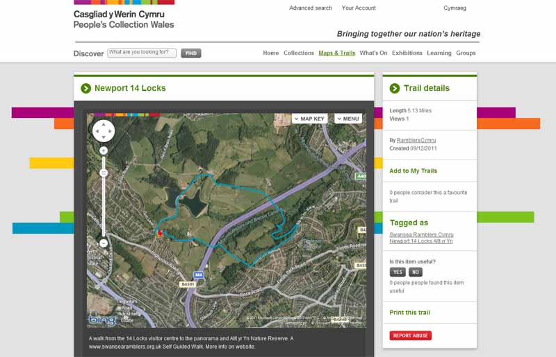
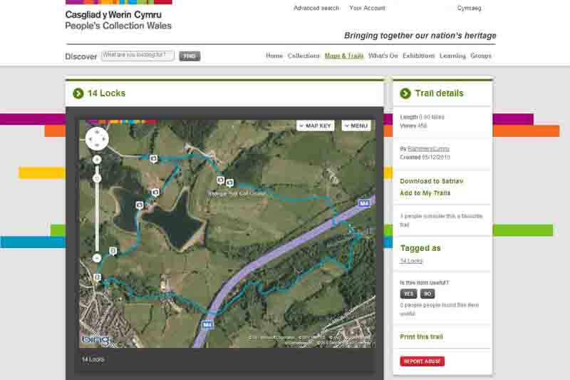
Ramblers Cymru Logo Image of Countryside
Swansea Ramblers Logo
at the heart of walking


Swansea Ramblers Walk


Newport 14 Locks


Walk Start / Finish Location:
Off B4591 north of M4 junction 27

Walk Distance: 4.5 miles (2.5 hours)

Walk Level: Moderate

Parking: 14 Locks Visitor Centre
(Free but gates locked by 4:45pm)

Transport: Traveline - www.traveline.info   - or - Telephone 0871 200 22 33


Walk Description


Have you driven the M4 towards the Newport tunnels and ever thought of walking here? 
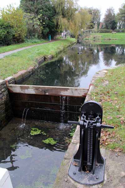
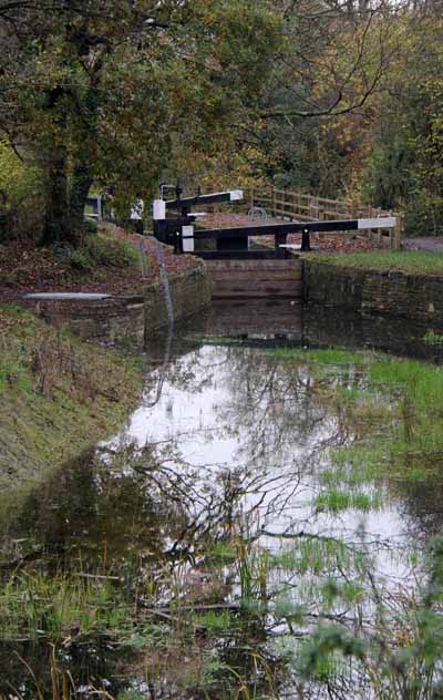
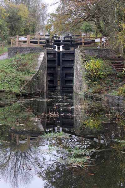
Hidden away is a flight of disused canal locks to rival the more famous ones in England. Partially restored at the visitor centre, you can descend the as yet un-restored section to where 
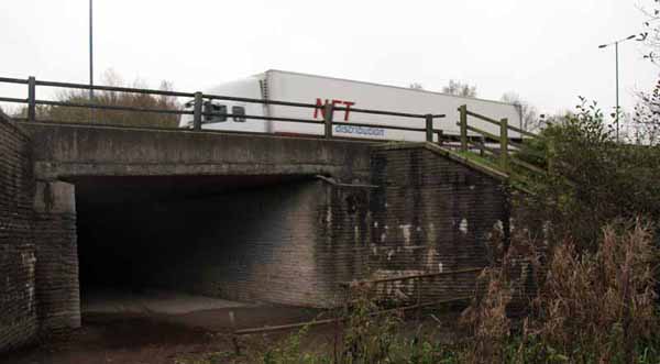
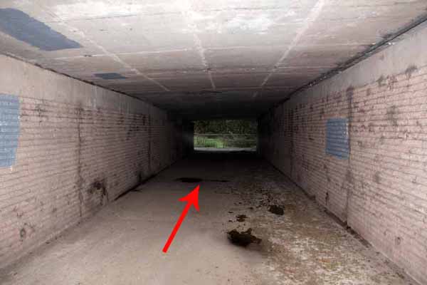
a far sighted M4 motorway designer filled in and concreted over a 50 yard section of the canal in a tunnel that comes out to a restored section. You can climb to the view point then descend through a nature reserve or continue along the canal.


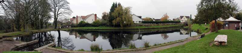
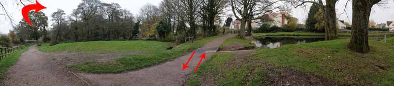
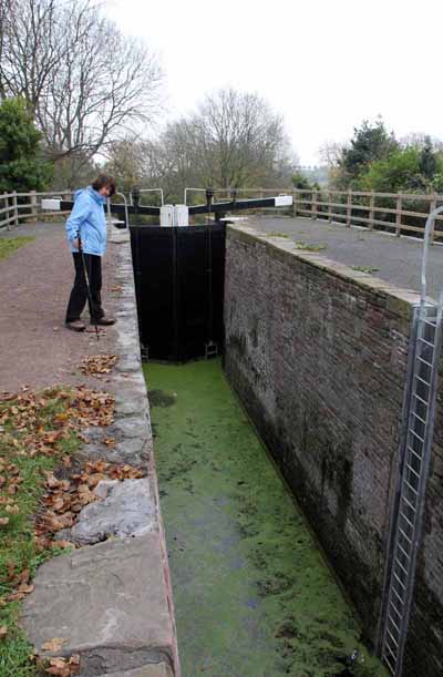
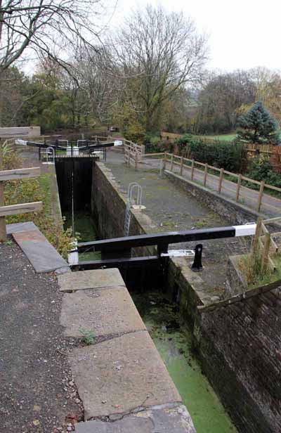
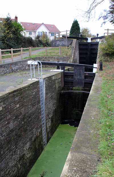
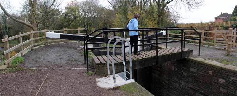
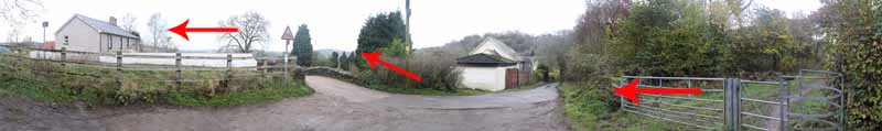
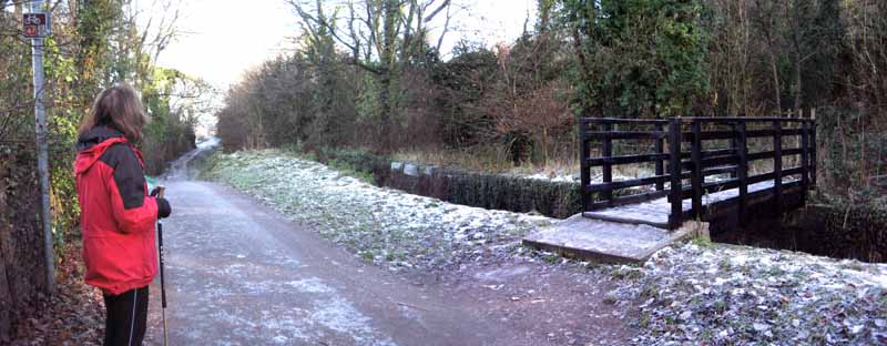
From the visitor centre take a look at the first restored lock then retrace your steps and turn right then right again to cross the second lock. 
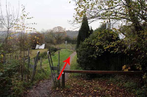
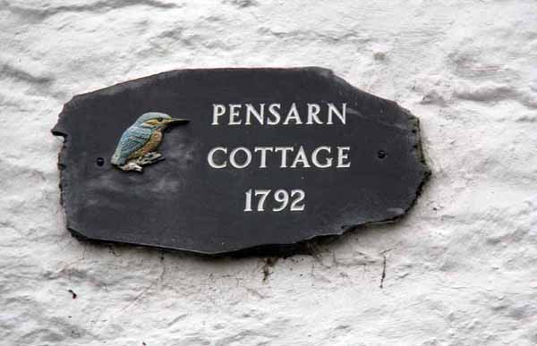
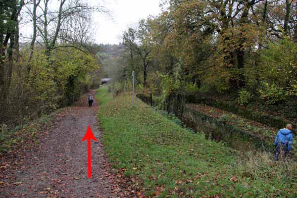
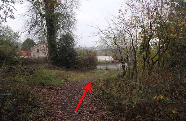
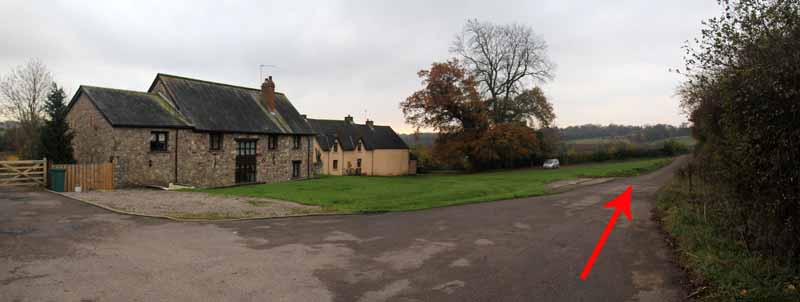
Descend past un-restored locks to a canal side cottage. 
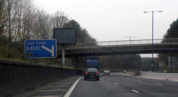
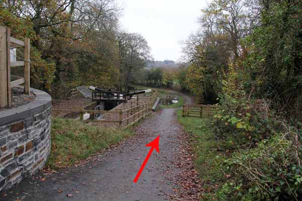
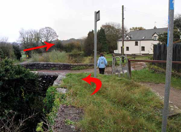
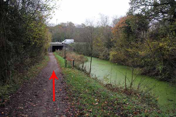
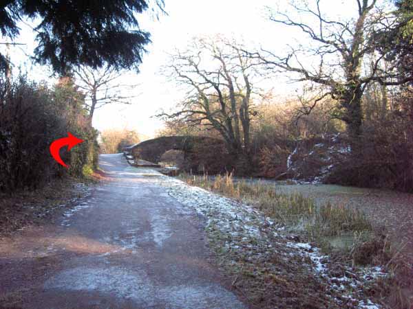
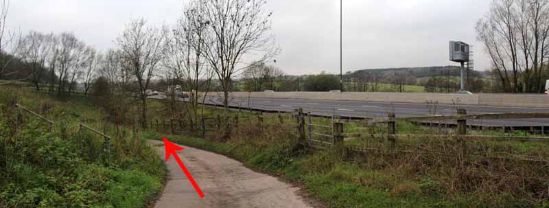
Cross the canal bridge and descend alongside the canal to the M4 where you can marvel at the short sighted way the planners allowed the concrete of the M4 to invade the canal. 
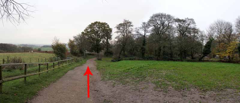
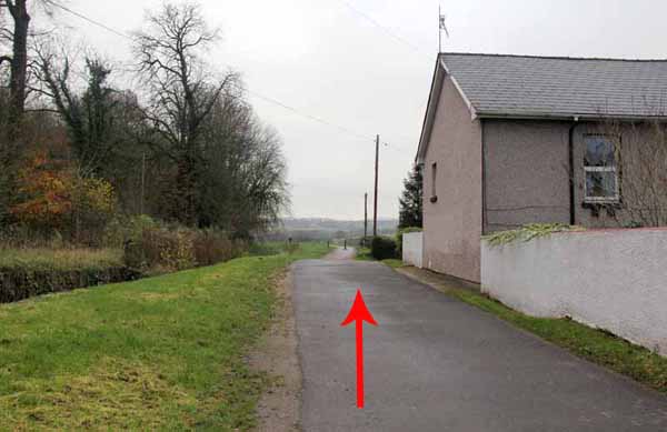
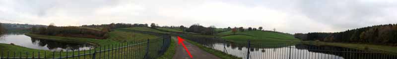
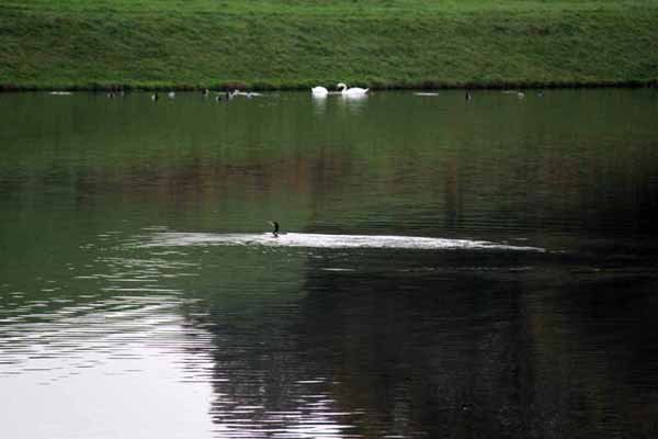
Passing under the M4 you emerge at an idyllic canal walk.

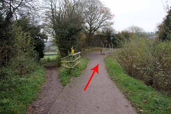
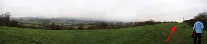
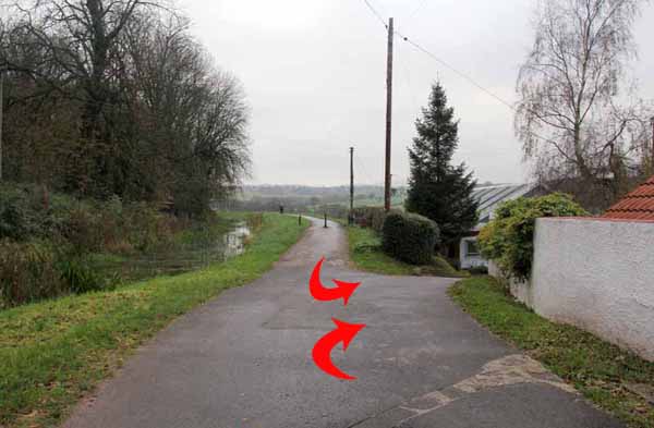
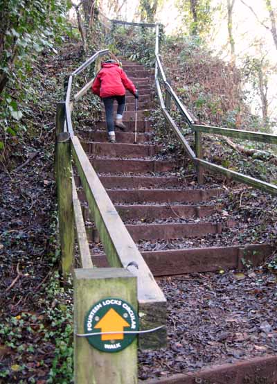
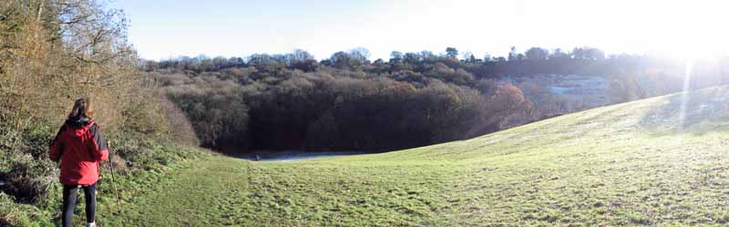
After a short distance the more energetic can cross the canal bridge and ascend straight up the fields to the road and the viewpoint, well provided with seats to take in the panorama. 
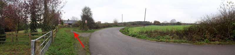
If you don't fancy the climb then continue along the canal to a lock with a house on the left.

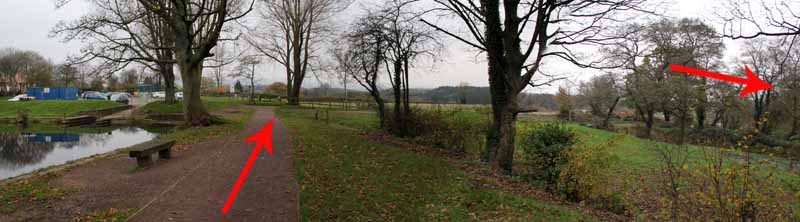
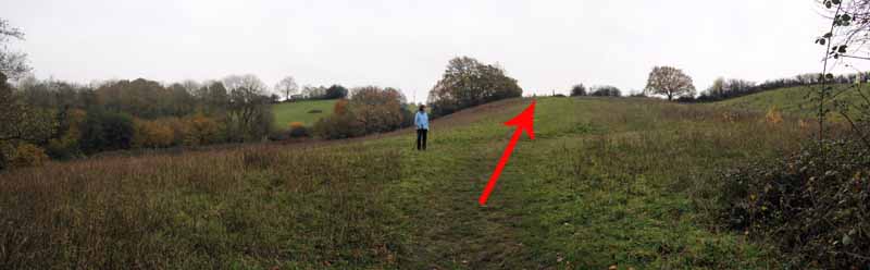
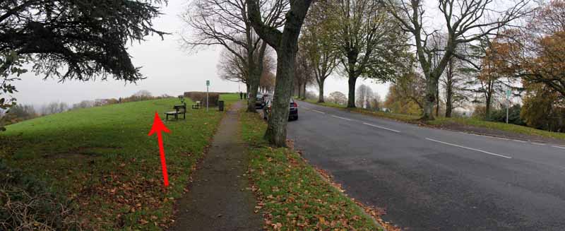
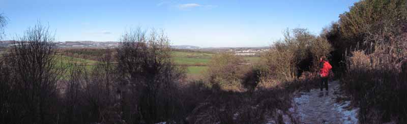
At the top of the climb turn left along the road to see the view. 
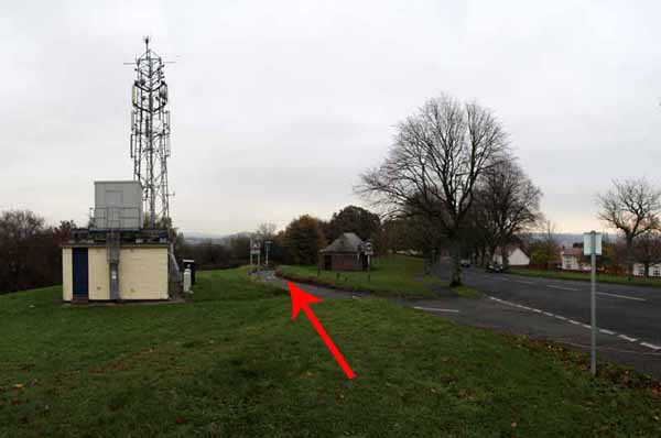
Continue along the grass towards the transmitter. 
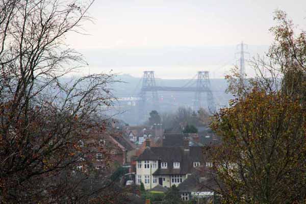
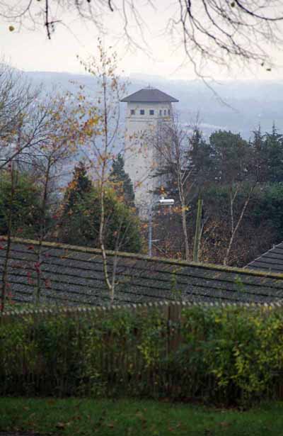
Look right for distant views of the Transporter Bridge, the Newport Council Tower and Llanwern Steelworks. 
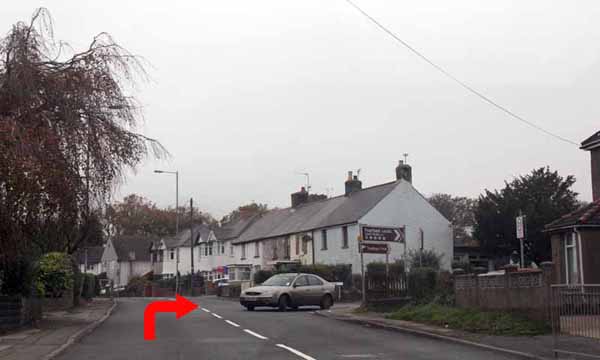
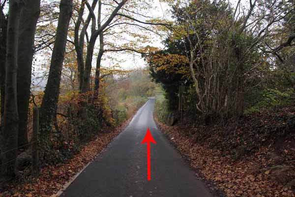
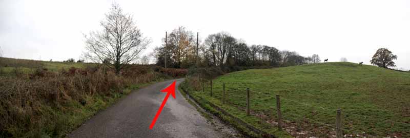
Take the one way lane (or continue along the road for a couple of hundred yards to scramble left by the houses onto the lane further down. 
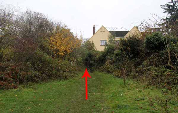
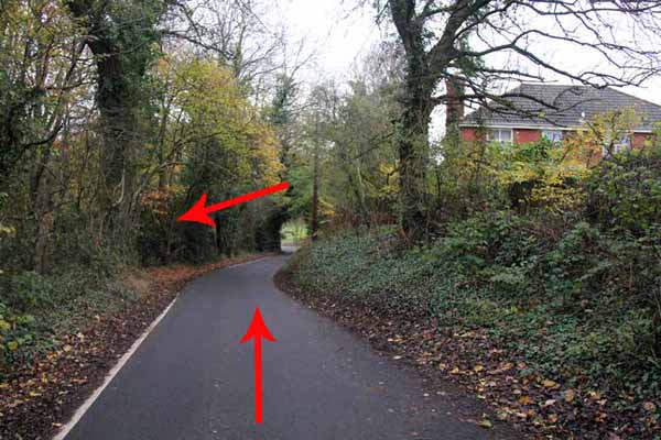
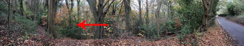
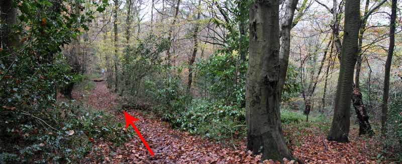
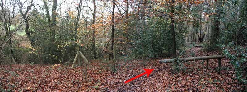
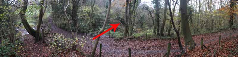
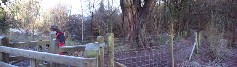
After passing a few houses an unmarked woodland path descends west through Allt yr Yn Reserve to a field then heads back into the woods lower down near the stream. 
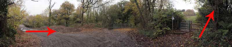
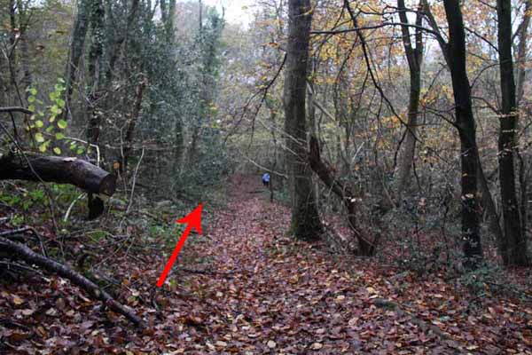
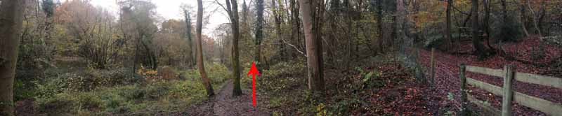
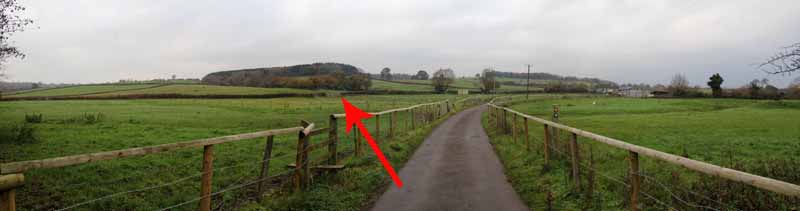
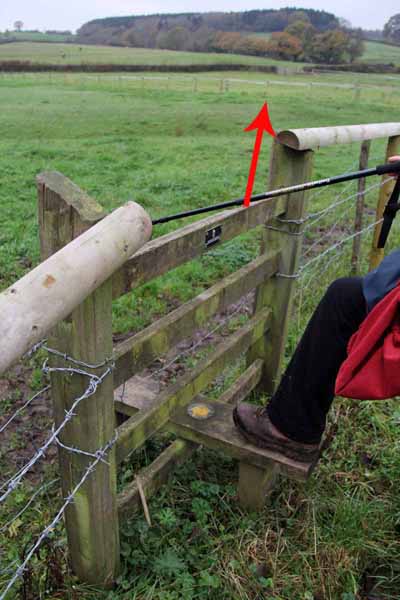
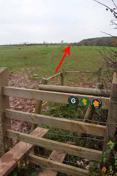
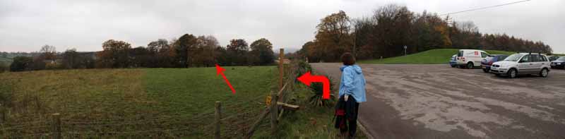
Eventually cross a stile onto a track (which you could have used had you ignored the woodland path).

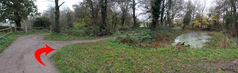
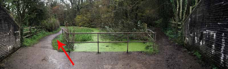
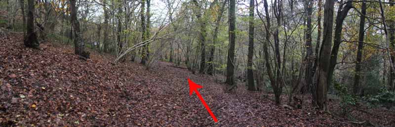
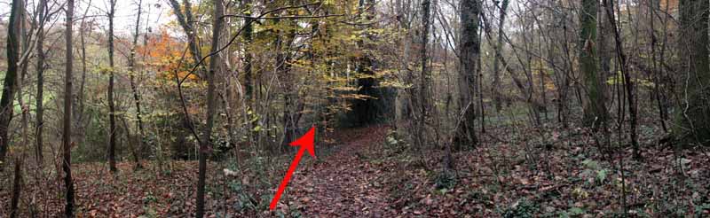
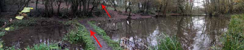
More options present themselves but go straight across through a gate and descend to a couple of small ponds. 
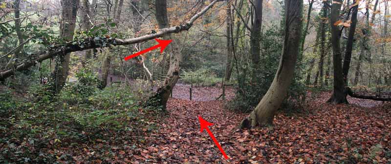
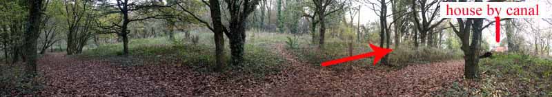
Follow the wider path on the other side of the ponds to cross a canal bridge to that lock and house where those doing the shorter canal walk rejoin the main walk.

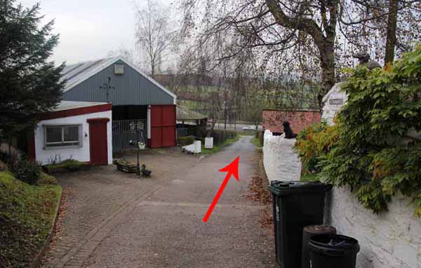
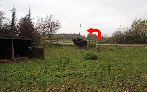
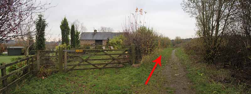
Descend the path between the house and stables and go under the M4. 
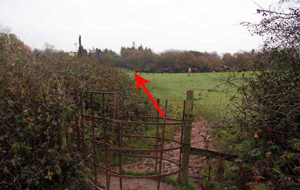
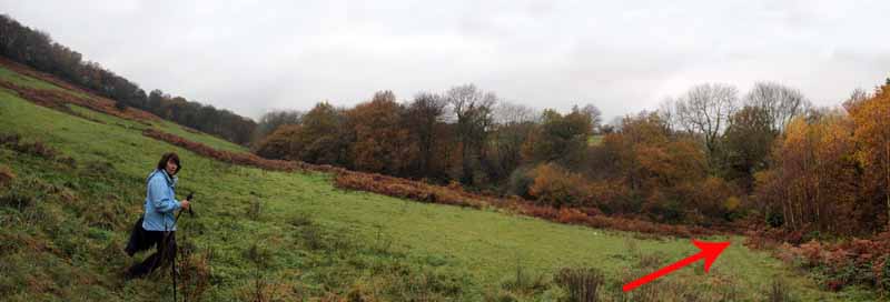
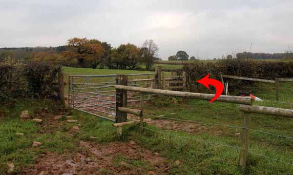
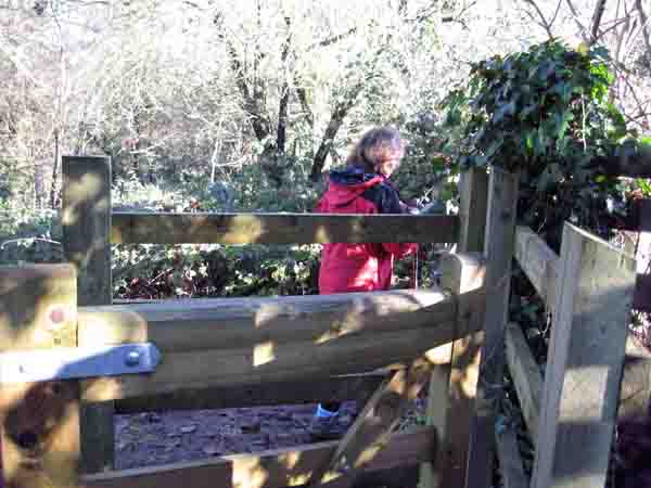
Watch for the muddy path in a field going diagonally left off the track over a couple of substandard stiles to a council stile. Cross the stile and head uphill diagonally right to a stile hidden under trees. 
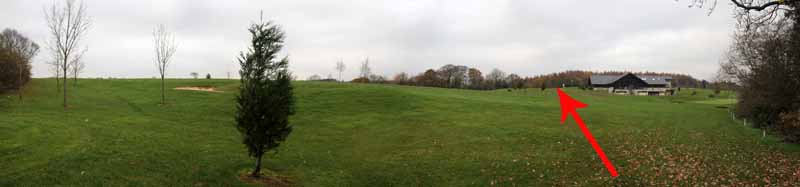
Follow the signs around the edge of the golf course and cross to the left of the club house. Go left over the stile at the car park and through a tree lined boundary into another field. 
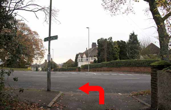
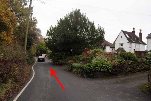
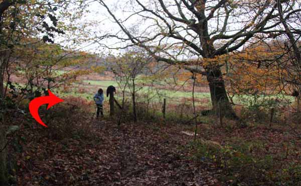
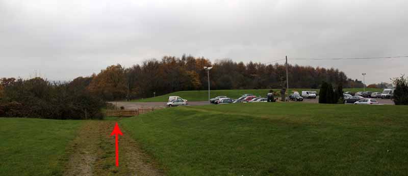
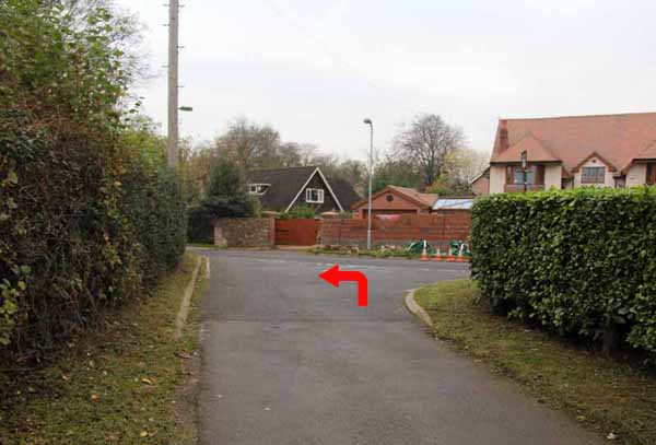
Go left onto the road then immediately left off the road to a green lane by a house. 
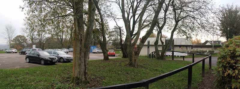
Continue along the tarmacadam road for about a mile, going past the reservoirs to the junction. Turn left back to the car park.


Ramblers Cymru and Swansea Ramblers provide these routes but accept no responsibility for those walking them.

If you would like to go on a walk but would prefer to do so with a group of people then click on our Programme section to see what walks we are leading.

We have walks for varying levels of ability and you get the chance to see the countryside in places you might never go by yourself!


Maps of the Walk


Ordnance Survey map of the route to walk
Resizable and draggable
(Can be reset to original dimensions by refreshing the page)
Green Swansea Ramblers logo markers where present can be clicked to provide more information

Peoples Collection link

The route of this walk has been added to The National Museum of Wales' Peoples Collection Web site.
A choice of aerial imagery or historic Ordnance Survey mapping is available.
Click the map to enter their web site (opens in a new browser window)
or copy and paste this link into a new browser window.
http://www.peoplescollectionwales.co.uk/Trail/805-newport-14-locks


Photographs of the Walk


Photograph of Route - Image  01
M4 Junction 27 Eastbound


Photograph of Route - Image  02
The turning off the B4591


View Larger Map
A Google StreetView of the road to 14 Locks Visitor centre.
You can move along the road and turn in 360 degrees


Photograph of Route - Image  03
The restored lock by the visitor centre


Photograph of Route - Image  04
An oversized dragonfly


Photograph of Route - Image  05
Visit the first lock then double back and turn right


Photograph of Route - Image  06


Photograph of Route - Image  07
Visitor Centre


Photograph of Route - Image  08
The first lock


Photograph of Route - Image  09


Photograph of Route - Image  10


Photograph of Route - Image  11
Double back and turn right to the second lock


Photograph of Route - Image  12


Photograph of Route - Image  13


Photograph of Route - Image  14
Another lock ahead


Photograph of Route - Image  15
The second lock


Photograph of Route - Image  16
Cross to the other side


Photograph of Route - Image  17
Descend the towpath


Photograph of Route - Image  18
Watch out for wildlife


Photograph of Route - Image  19
Last of the restored locks


Photograph of Route - Image  20
Descend to the cottage


Photograph of Route - Image  21


Photograph of Route - Image  22
Cross the bridge


Photograph of Route - Image  23
Keep next to the canal


Photograph of Route - Image  24


Photograph of Route - Image  25
M4 and a surprise ahead


Photograph of Route - Image  26
Go under the M4


Photograph of Route - Image  27
A far sighted motorway architect concreted over the canal


Photograph of Route - Image  28
Go left to follow the canal


Photograph of Route - Image  29
Either continue on the flat to the house by a lock or cross the bridge to ascend to the viewpoint


Photograph of Route - Image  30
After the bridge go through the kissing gate and straight uphill


Photograph of Route - Image  31


Photograph of Route - Image  32
Continue uphill to the side of the house


Photograph of Route - Image  33
The road is the other side of the house


Photograph of Route - Image  34


Photograph of Route - Image  35
Up to the viewpoint


Photograph of Route - Image  36
A good panorama can be seen here and lots of benches line the viewpoint


Photograph of Route - Image  37
In the other direction is the Transporter Bridge


Photograph of Route - Image  38
Follow the one way lane and watch behind you for traffic


Photograph of Route - Image  39
Newport Council offices is another landmark


Photograph of Route - Image  40
Continue down the lane


Photograph of Route - Image  41
Go past a few houses


Photograph of Route - Image  42
Opposite a house there is an unmarked path descending back towards the transmitter


Photograph of Route - Image  43


Photograph of Route - Image  44
This is Allt yr Yn Nature Reserve


Photograph of Route - Image  45


Photograph of Route - Image  46


Photograph of Route - Image  47
Eventually you emerge in a field


Photograph of Route - Image  48
Turn right and re-enter the woods lower down


Photograph of Route - Image  49
Follow the path to a stile


Photograph of Route - Image  50


Photograph of Route - Image  51
The stile comes to a track that you could have used from the road above


Photograph of Route - Image  52
Go straight across through a gate


Photograph of Route - Image  53


Photograph of Route - Image  54
Cross the ponds and follow the broad path


Photograph of Route - Image  55
Make for the house by the canal


Photograph of Route - Image  56


Photograph of Route - Image  57
Cross the canal bridge and turn left


Photograph of Route - Image  58


Photograph of Route - Image  59
At the house turn right down the lane
(This is where those who earlier continued along the canal re-join the main walk)


Photograph of Route - Image  60


Photograph of Route - Image  61
Go under the M4 again and follow the road


Photograph of Route - Image  62
As you emerge into an open area go diagonally left over a few stiles
(watch for barbed wire)


Photograph of Route - Image  63
This field can be muddy


Photograph of Route - Image  64
A council stile comes into view


Photograph of Route - Image  65
The arrows point left but the next stile is hidden diagonally right


Photograph of Route - Image  66
The stile is indicated here.
Don't use the makeshift stile on the left of the picture


Photograph of Route - Image  67
Keep to the edge of the Tredegar House Golf Course


Photograph of Route - Image  68
Cross to the left of the club house, watching for golfers


Photograph of Route - Image  69
Into the car park


Photograph of Route - Image  70
Go left over a stile to the trees


Photograph of Route - Image  71
Turn left on the road


Photograph of Route - Image  72
immediately turn left back off the road into a short lane


Photograph of Route - Image  73
Follow this track, ignoring the footpath on the right


Photograph of Route - Image  74
The tarmacadam road starts at the houses and continues all the way to the visitor centre


Photograph of Route - Image  75
The road passes between the reservoirs


Photograph of Route - Image  76
Wildfowl on the reservoir


Photograph of Route - Image  77
Not far now. Take time to look back at the view


Photograph of Route - Image  78
Turn left at the junction


Photograph of Route - Image  79
Back to the visitor centre


A variation on this walk would have been to go under the first M4 subway, follow the canal then taken the second (wooden) bridge into woodland.
A large flight of steps take you through the woods where you can turn right and descend a field to that stile out of Allt yr Yn reserve. The alternative route is below.


The route of this walk has been added to The National Museum of Wales' Peoples Collection Web site.
A choice of aerial imagery or different scale Ordnance Survey mapping is available.
Click the map below to enter their web site (opens in a new browser window)
or copy and paste this link into a new browser window.
http://www.peoplescollectionwales.co.uk/Trail/500-14-locks

Peoples Collection link


Photograph of Route - Image  80
Cross the second (wooden) bridge


Photograph of Route - Image  81
Ascend the steps


Photograph of Route - Image  82
Good views at the top


Photograph of Route - Image  83
Eventually turn right into a field


Photograph of Route - Image  84
Descend to allt yr yn Nature Reserve


Photograph of Route - Image  85
Turn right to reach the stile for the reserve or go left to reach the canal bridge


More information about walking in Wales is available at:    www.ramblers.org.uk/wales

Ramblers Cymru and Swansea Ramblers provide this route but accept no responsibility for those walking it

All photographs Copyright 2012 Andrew Morgan. All rights reserved


Swansea Ramblers hope you enjoy doing this walk.

Over time things can change on the walk

- for example - path diversions, new gates instead of stiles or maybe the path has become blocked.

If you do find anything different on the way then let us know:

1. Which walk you have been on.

2. The type and location of the change or the problem you have experienced.


Of course you may just like to tell us that you have done the walk and whether you enjoyed it.

Use the link below to email us about your walk.

We'll look forward to hearing from you.


If the email link is not displayed above or is not supported by your email setup, manually type in our email address
address


Back to top

Our use of Cookies

Our Privacy Policy


Valid HTML 4.01 Transitional