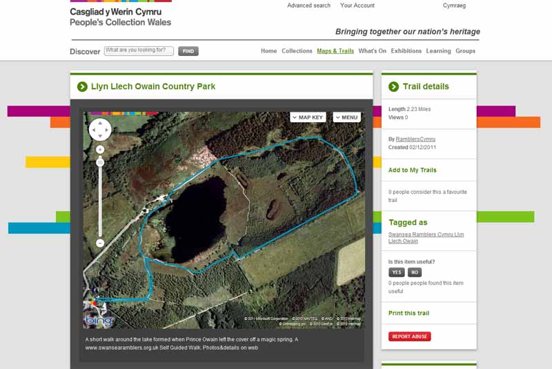
Walk Description
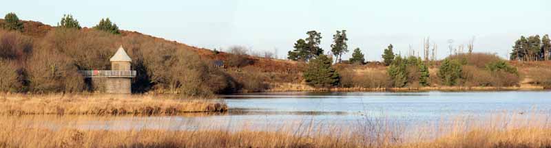
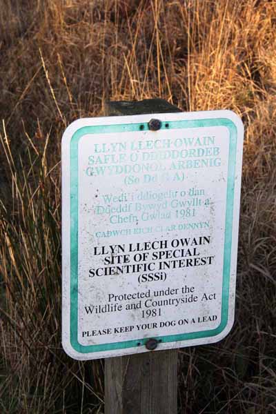
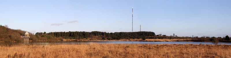
This is a popular attraction with a cafe and toilets. The walk goes around the lake on a well laid out path and there are other routes that can be explored another time. The lake was said to be formed when Prince Owain left the cover off a magical spring and the land was flooded. Today this area is not only a SSSI but also an internationally important conservation site. Red kites fly over the area and there are views of the surrounding hills.
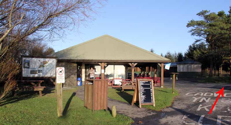
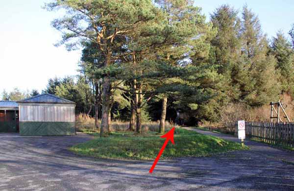
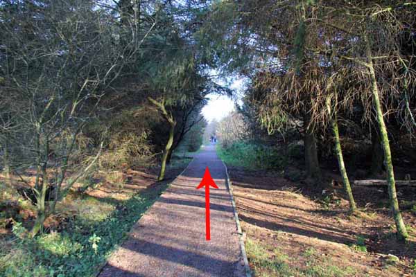
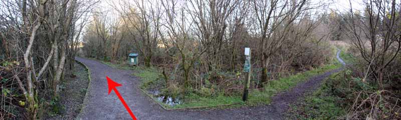
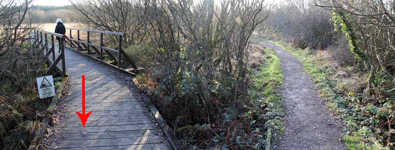
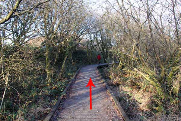
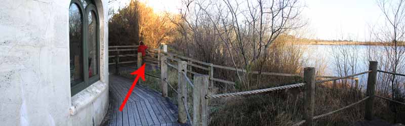
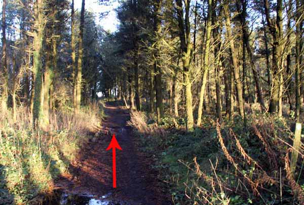
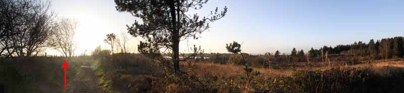
Start on the path between the cafe and the play area and follow this through woodland. The path can be used by pushchairs but in places is wet. Ignore a path going right and bear left into a more open area. The lake comes into view in an area now cleared of woodland. The transmitter mast of Carmel in the distance dominates the skyline.
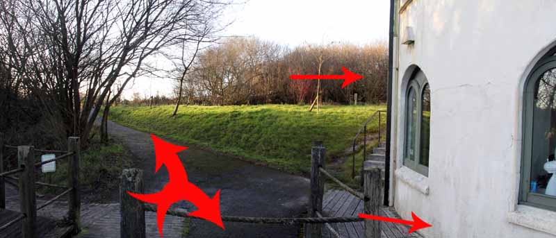
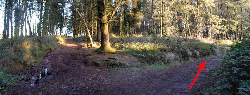
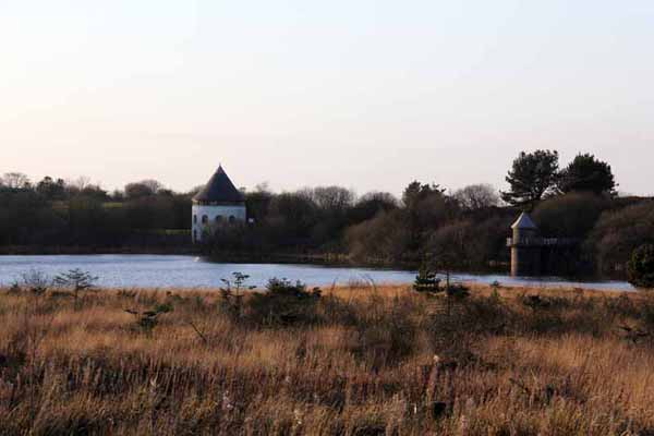
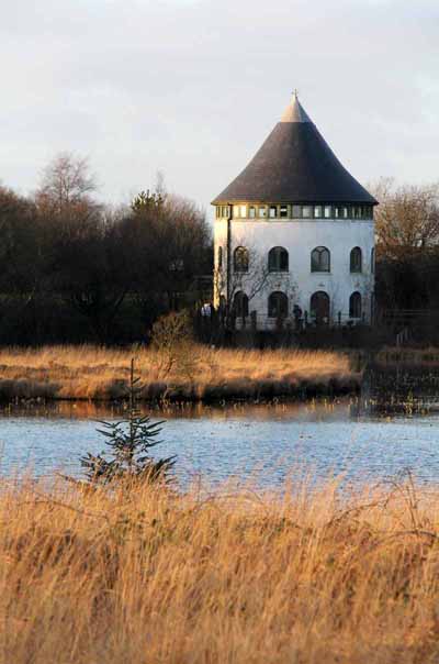
Ignore the next path on the right and head towards the two towers near the water's edge. The first tower is the visitor centre.
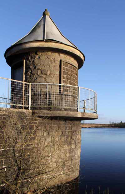
You can either follow the lakeside path in front of it which can be wet & muddy in places or use the higher path behind the centre to the second tower. This other tower formed part of a pumping station to supply water to the local communities until the 1990s when the local authority created the country park.
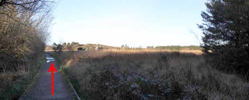
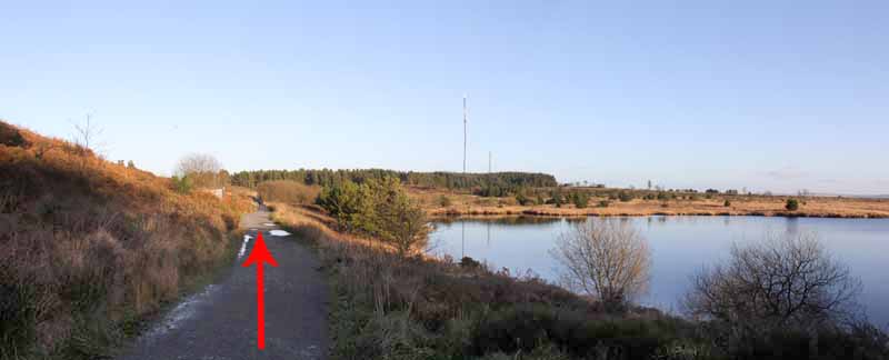
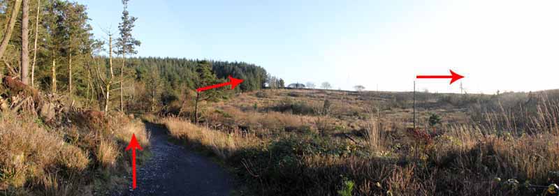
Continue along the broad path into the forestry. Bear right at a junction to follow the path out of the woods and along the forest edge.
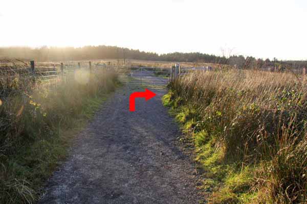
Bear right at the next junction to begin the return journey. Note the distance hills to the left and the lake ahead. At a gate there are a number of routes you could take but here turn right then after a short distance take the path on the left.
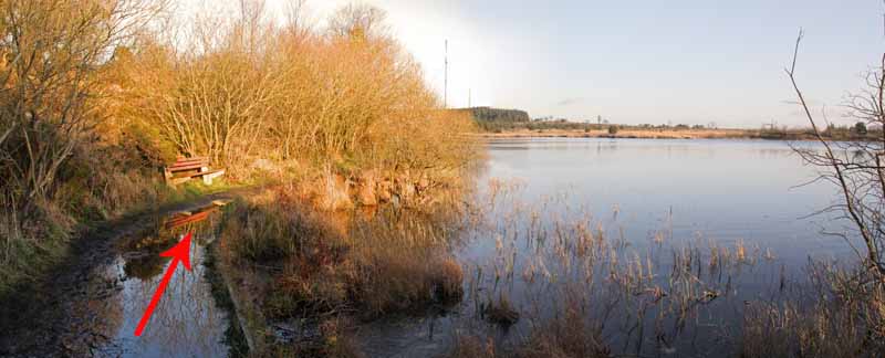
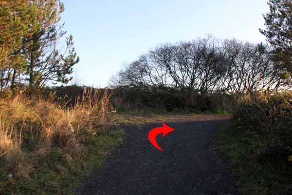
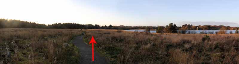
This meets the path on which you started walking. Turn left and return to the car park.
Ramblers Cymru and Swansea Ramblers provide these routes but accept no responsibility for those walking them.
If you would like to go on a walk but would prefer to do so with a group of people then click on our Programme section to see what walks we are leading.
We have walks for varying levels of ability and you get the chance to see the countryside in places you might never go by yourself!
This aerial map is resizable and draggable
(Can be reset to original dimensions by refreshing the page)
A 25,000 Ordnance Survey map of the area
can be viewed by clicking on the above 'View Larger Map' option
(applies only if the above is a Bing map, not a Google map )