Ramblers Cymru Logo Image of Countryside
Swansea Ramblers Logo
at the heart of walking


Swansea Ramblers Walk


Parkmill and Cefn Bryn


Walk Start / Finish Location:
Parkmill Heritage Centre

Walk Distance: 5 miles ( 3 hours)

Walk Level: Moderate - some climbs and mud

Parking: Parking: Heritage Centre CP (Free if also visiting the centre)

Transport: Traveline - www.traveline.info   - or - Telephone 0871 200 22 33


Walk Description


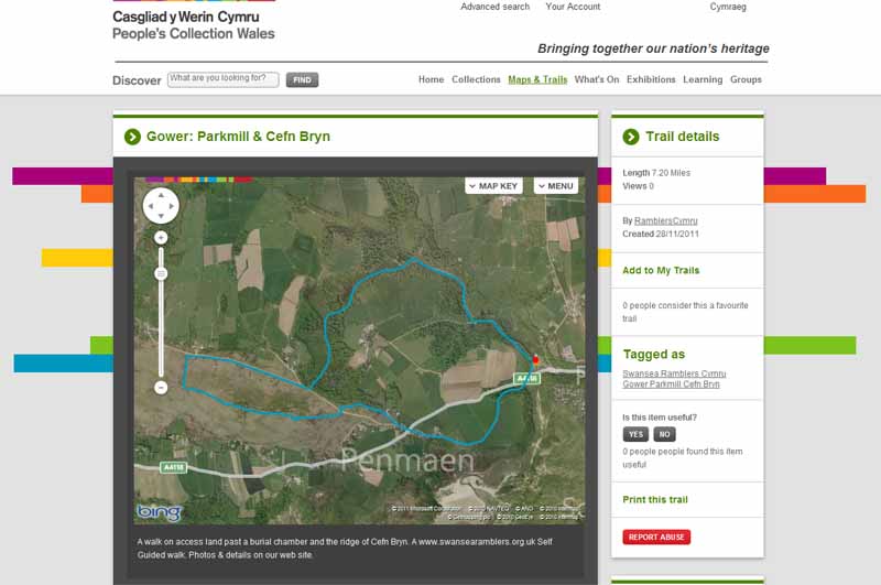
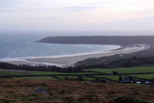
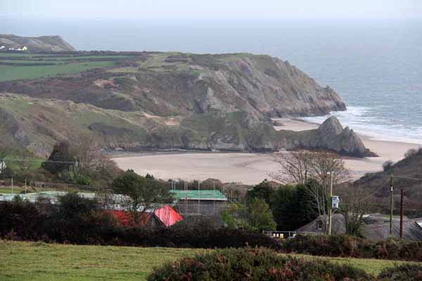
This walk visits a prehistoric burial chamber and returns over Cefn Bryn with views of Three Cliffs Bay.


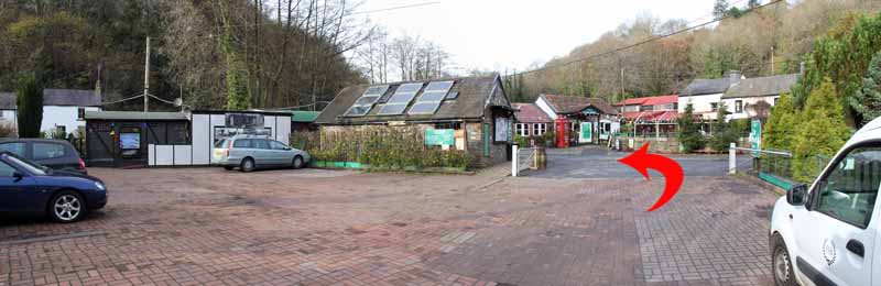
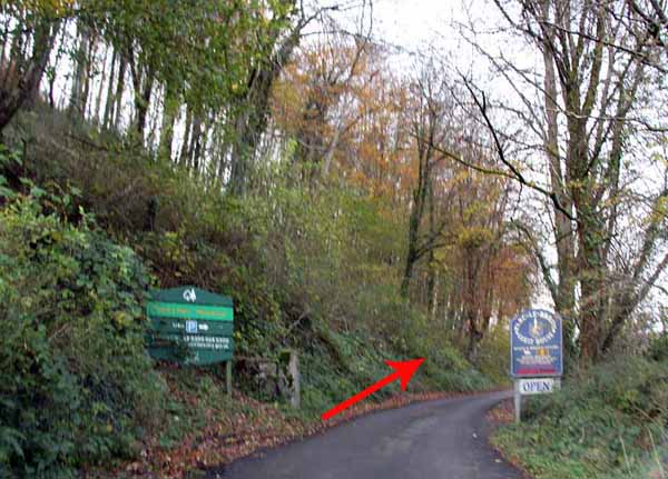
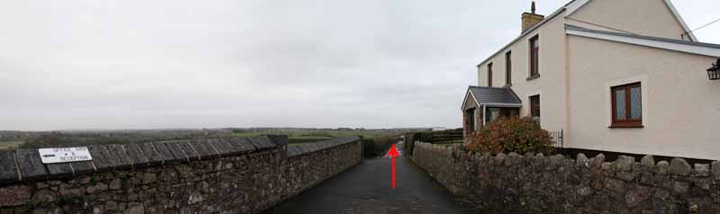
Head towards the visitor centre then turn left to cross the footbridge.

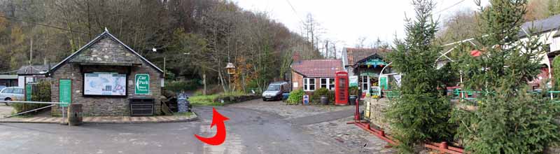
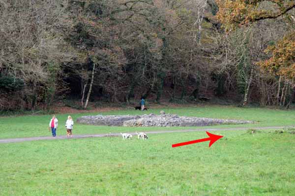
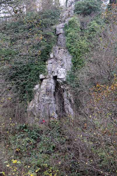
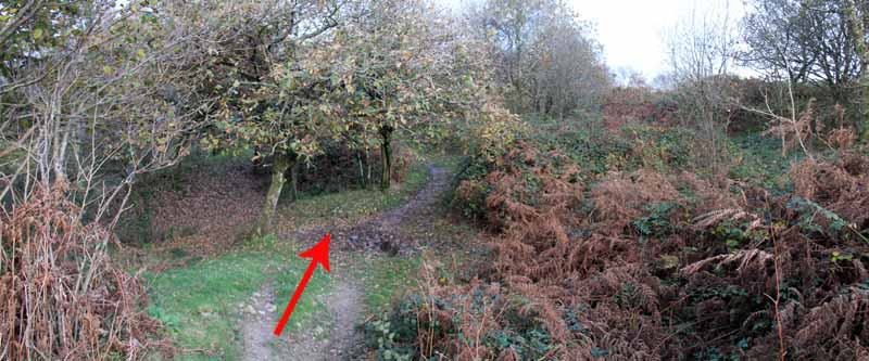
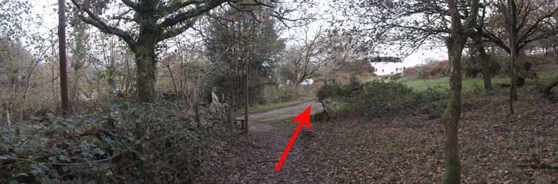
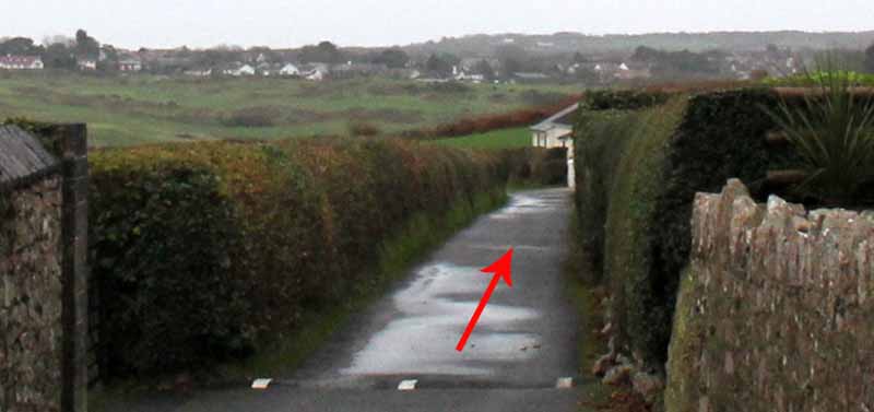
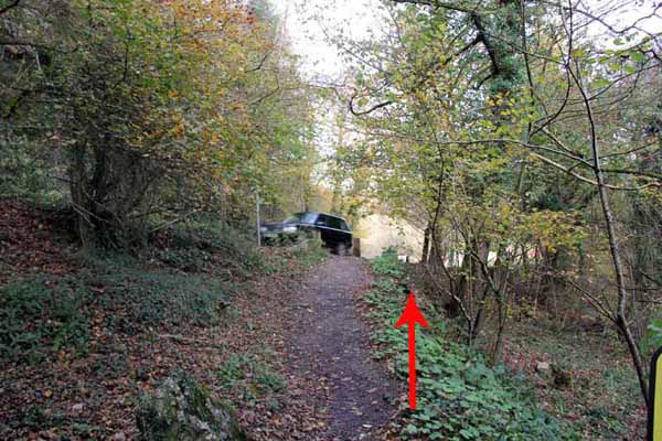
Ascend the road to eventually enter Park Wood on the right. This area contains a burial chamber, cave and lime kiln.

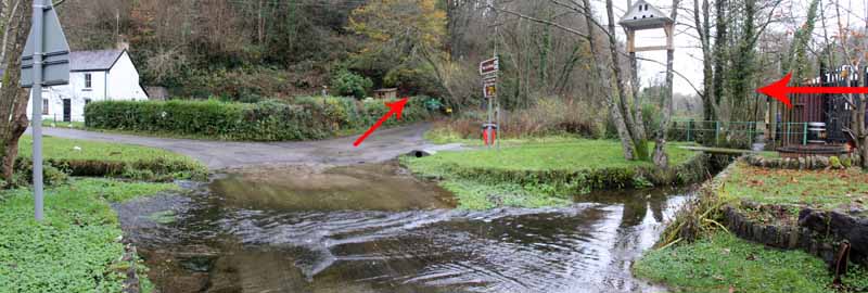
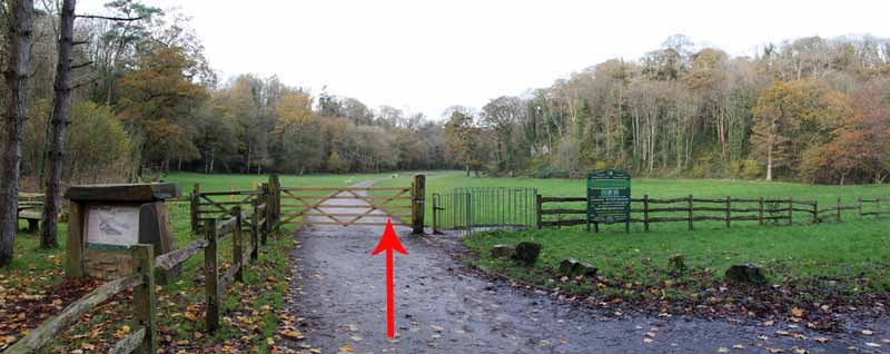
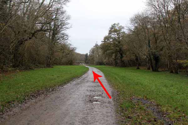
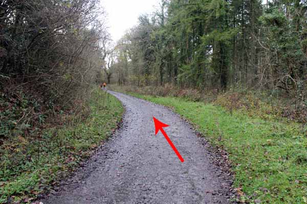
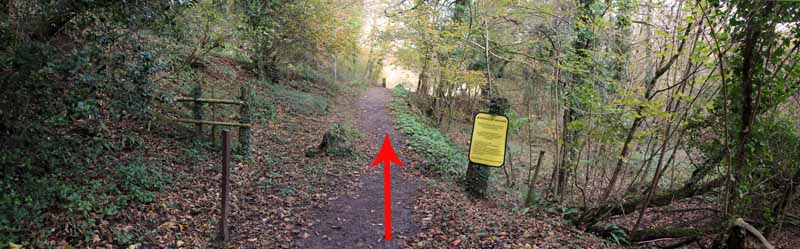
Continue along the path and turn left at a junction.

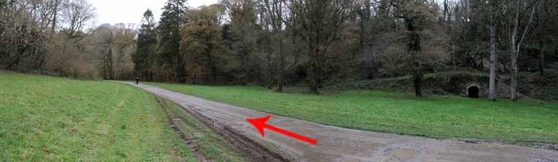
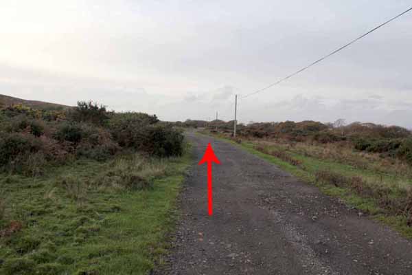
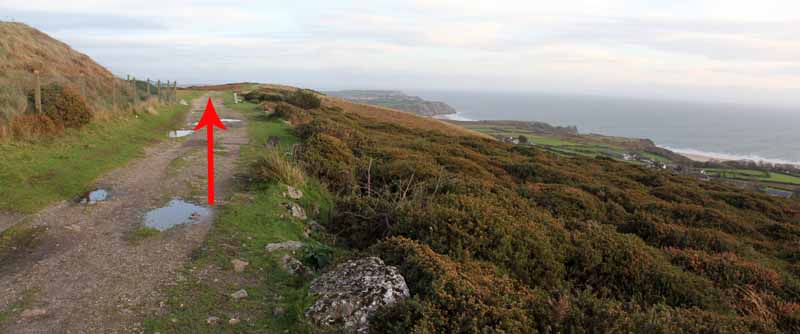
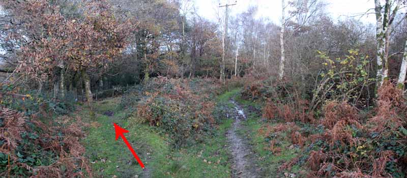
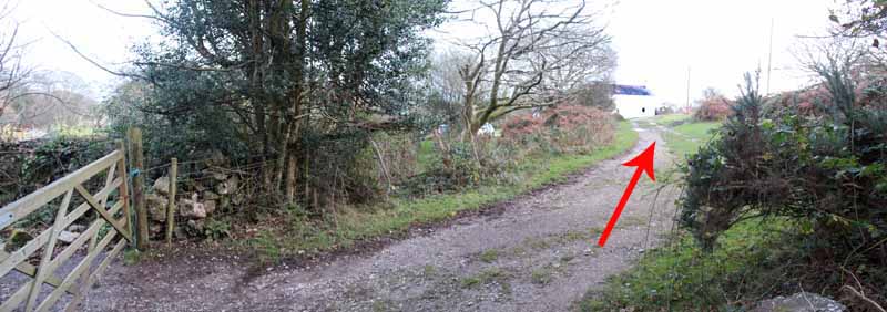
Ascend the long track, eventually leaving the woods through a gate.

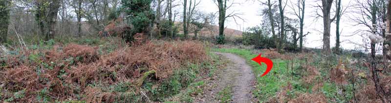
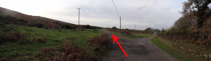
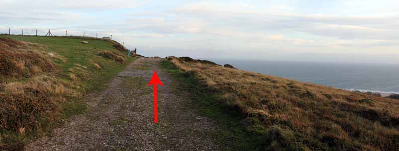
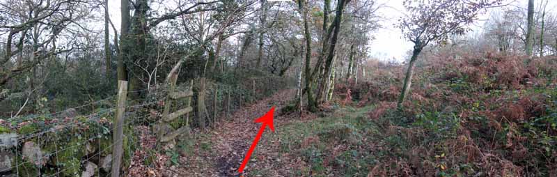
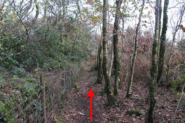
Turn right and follow the track at the base of Cefn Bryn.

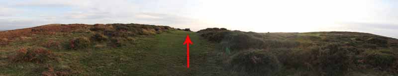
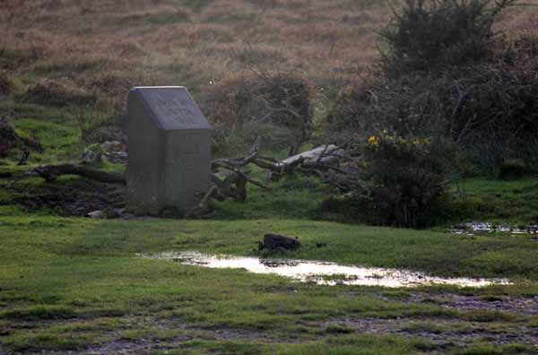
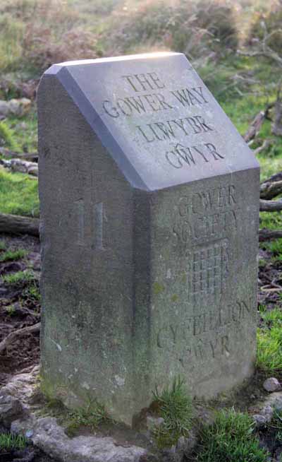
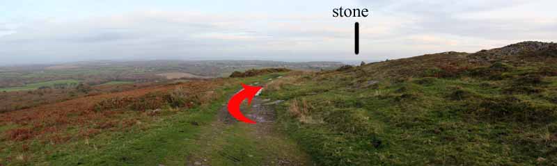
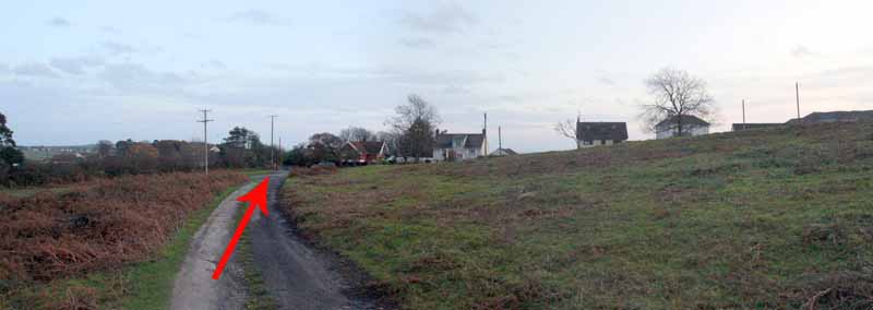
Just after Little Walterston turn uphill on a grassy path to the top of Cefn Bryn where you connect with the main spine path near a Gower Way Stone.

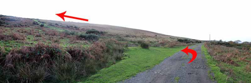
On a winter's day you might find it is rather windy! (To avoid this section you could have earlier turned left out of the wood and followed the track to another Gower Way stone).

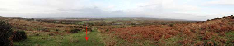
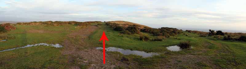
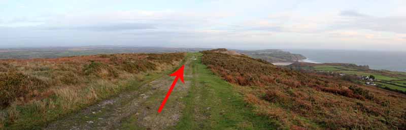
On top of Cefn Bryn turn left along the ridge to the next outcrop of rock.

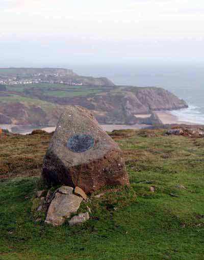
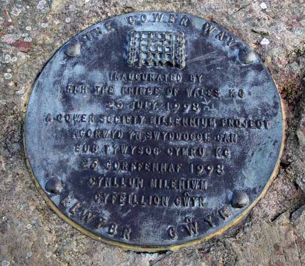
Before descending, turn right to the Prince Charles inaugural stone. Take in the view then descend the main path to the gravel track.

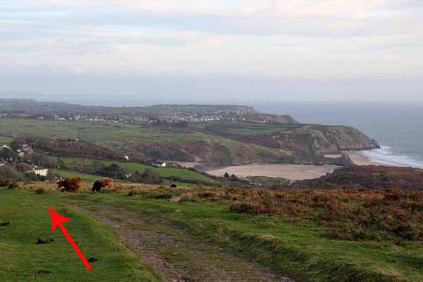
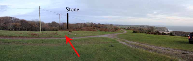
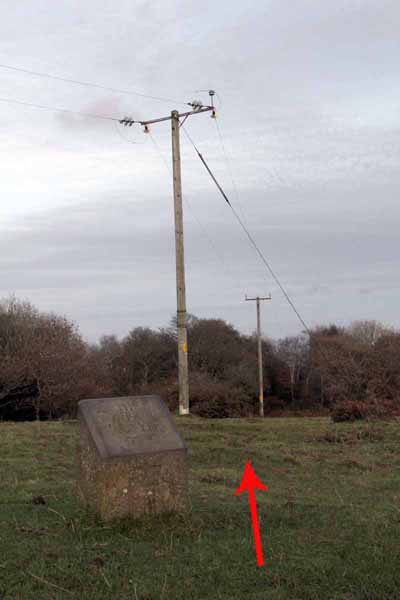
Another Gower Way stone comes into view by some telegraph poles (this is the stone to watch for if you earlier opted not to climb Cefn Bryn).

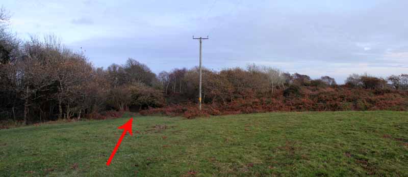
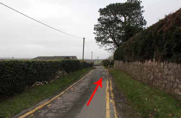
Follow the direction of the telegraph poles towards a footpath near the forest wall and go right.

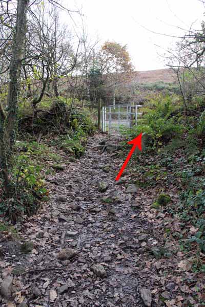
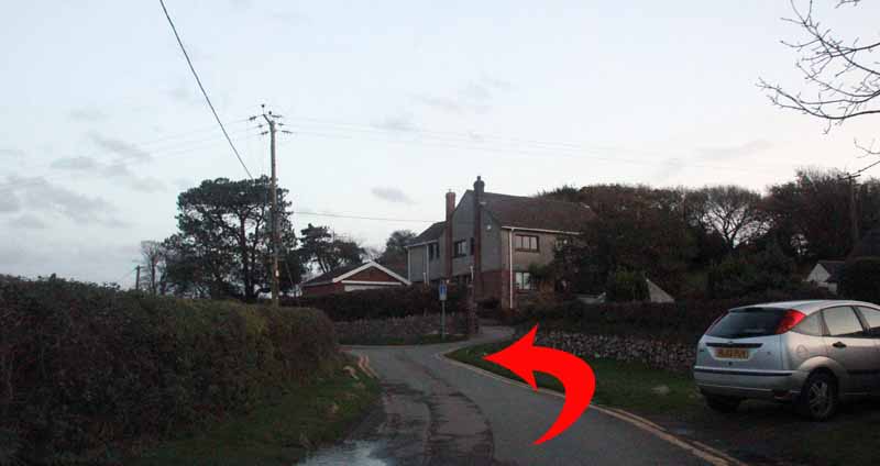
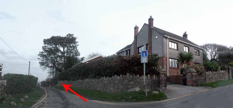
Bear left at the fork to keep close to the wall until you descend to a footpath sign near a house.

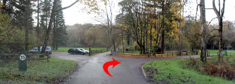
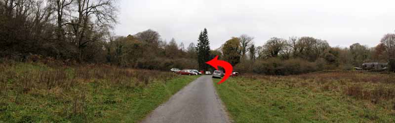
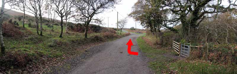
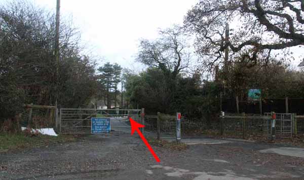
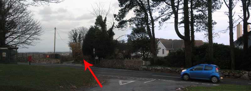
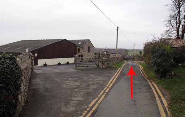
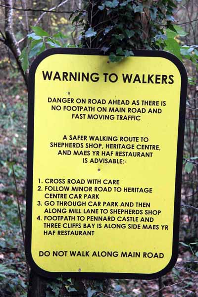
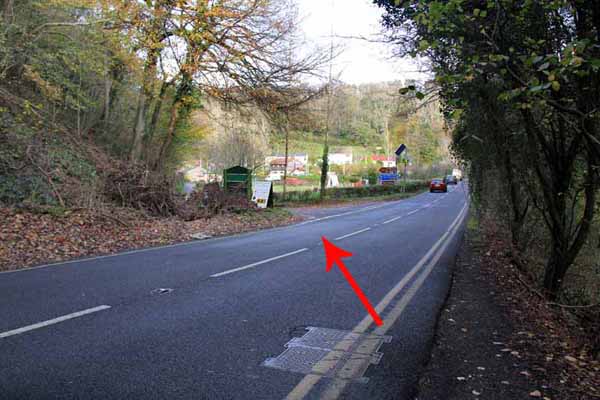
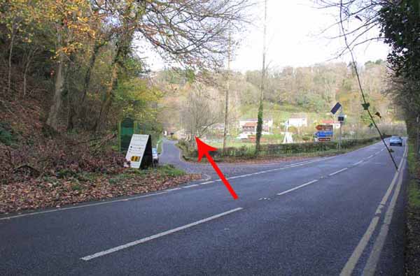
Turn right and follow the track through the car park and descend to the main road. Cross with care to the minor road opposite.

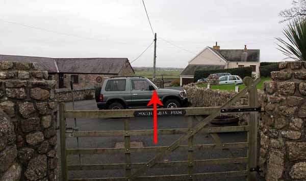
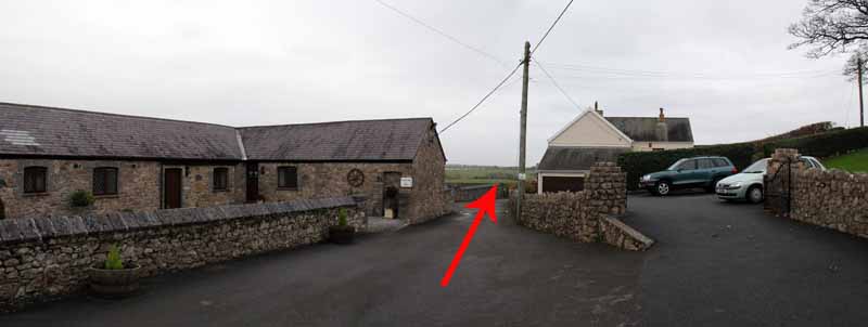
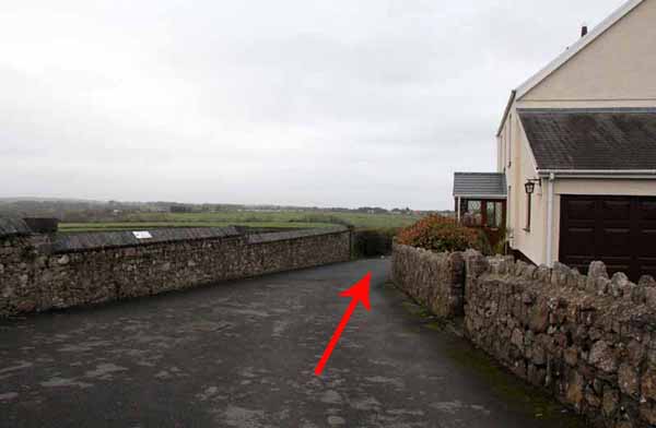
After a short distance follow the left fork to North Hills Farm where the footpath descends the lane to Parkmill. Take care crossing the main road and follow the road opposite back to the start.


Ramblers Cymru and Swansea Ramblers provide these routes but accept no responsibility for those walking them.

If you would like to go on a walk but would prefer to do so with a group of people then click on our Programme section to see what walks we are leading.

We have walks for varying levels of ability and you get the chance to see the countryside in places you might never go by yourself!


Maps of the Walk


Ordnance Survey map of the route to walk
Resizable and draggable
(Can be reset to original dimensions by refreshing the page)
Green Swansea Ramblers logo markers where present can be clicked to provide more information


This aerial map is resizable and draggable
(Can be reset to original dimensions by refreshing the page)

A 25,000 Ordnance Survey map of the area
can be viewed by clicking on the above 'View Larger Map' option
(applies only if the above is a Bing map, not a Google map )


Peoples Collection link

The route of this walk has been added to The National Museum of Wales' Peoples Collection Web site.
A choice of aerial imagery or historic Ordnance Survey mapping is available.
Click the map to enter their web site (opens in a new browser window)
or copy and paste this link into a new browser window.
http://www.peoplescollectionwales.co.uk/Trail/801-gower-parkmill-cefn-bryn


Photographs of the Walk


Photograph of Walking Route - Image 1


Photograph of Walking Route - Image 2


Photograph of Walking Route - Image 3


Photograph of Walking Route - Image 4


Photograph of Walking Route - Image 5


Photograph of Walking Route - Image 6


Photograph of Walking Route - Image 7
The burial chamber


Photograph of Walking Route - Image 8
An old lime kiln on the right


Photograph of Walking Route - Image 9
A hidden cave


Photograph of Walking Route - Image 10


Photograph of Walking Route - Image 11
Turn left on the forest track at the junction


Photograph of Walking Route - Image 12
The track goes uphill for some way


Photograph of Walking Route - Image 13


Photograph of Walking Route - Image 14


Photograph of Walking Route - Image 15
Turn right after leaving the woods


Photograph of Walking Route - Image 16


Photograph of Walking Route - Image 17
Go some way along until you pass Little Walterston Farm


Photograph of Walking Route - Image 18
Watch out for the grassy track to the top of Cefn Bryn


Photograph of Walking Route - Image 19
Look back at the views to Llanelli and Swansea


Photograph of Walking Route - Image 20
Continue to the top


Photograph of Walking Route - Image 21


Photograph of Walking Route - Image 22
Gower Way Stone number 11


Photograph of Walking Route - Image 23
Turn left at the top and follow the ridge path


Photograph of Walking Route - Image 24


Photograph of Walking Route - Image 25
Oxwich Bay


Photograph of Walking Route - Image 26


Photograph of Walking Route - Image 27
Watch for the rocky outcrop


Photograph of Walking Route - Image 28
The Gower Way inaugural stone is on the right


Photograph of Walking Route - Image 29
Overlooking Three Cliffs Bay


Photograph of Walking Route - Image 30
Unveiled by HRH Prince Charles


Photograph of Walking Route - Image 31


Photograph of Walking Route - Image 32
Three Cliffs Bay


Photograph of Walking Route - Image 33
Watch for the Gower Way stone


Photograph of Walking Route - Image 34
Follow the posts towards the path beside the forest wall


Photograph of Walking Route - Image 35


Photograph of Walking Route - Image 36


Photograph of Walking Route - Image 37


Photograph of Walking Route - Image 38


Photograph of Walking Route - Image 39


Photograph of Walking Route - Image 40


Photograph of Walking Route - Image 41


Photograph of Walking Route - Image 42


Photograph of Walking Route - Image 43


Photograph of Walking Route - Image 44
Take care crossing the busy road


Photograph of Walking Route - Image 45


Photograph of Walking Route - Image 46
Head for North Hills Farm and the footpath down the lane


Photograph of Walking Route - Image 47


Photograph of Walking Route - Image 48


Photograph of Walking Route - Image 49


Photograph of Walking Route - Image 50


Photograph of Walking Route - Image 51


Photograph of Walking Route - Image 52


Photograph of Walking Route - Image 53
Follow this for about a mile to the main road


Photograph of Walking Route - Image 54
Warning signs about the traffic


Photograph of Walking Route - Image 55
Take care crossing


Photograph of Walking Route - Image 56


Photograph of Walking Route - Image 57


Photograph of Walking Route - Image 58
Follow the minor road back to the start


More information about walking in Wales is available at:    www.ramblers.org.uk/wales

Ramblers Cymru and Swansea Ramblers provide this route but accept no responsibility for those walking it

All photographs Copyright 2012 Andrew Morgan. All rights reserved


Swansea Ramblers hope you enjoy doing this walk.

Over time things can change on the walk

- for example - path diversions, new gates instead of stiles or maybe the path has become blocked.

If you do find anything different on the way then let us know:

1. Which walk you have been on.

2. The type and location of the change or the problem you have experienced.


Of course you may just like to tell us that you have done the walk and whether you enjoyed it.

Use the link below to email us about your walk.

We'll look forward to hearing from you.


If the email link is not displayed above or is not supported by your email setup, manually type in our email address
address


Back to top

Our use of Cookies

Our Privacy Policy


Valid HTML 4.01 Transitional