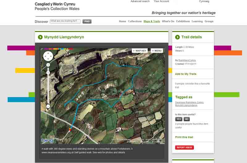
Ramblers Cymru Logo Image of Countryside
Swansea Ramblers Logo
at the heart of walking


Swansea Ramblers Walk


Mynydd Llangynderyn


Walk Start / Finish Location:
Layby on the Meinciau road off B4306, Pontyberem

Walk Distance: 2.5 - 3 miles (1.5 - 2 hours)

Walk Level: Easy with a short climb and some mud

Parking: Layby on the Meinciau road off B4306, Pontyberem (limited parking - Free)

Transport: Traveline - www.traveline.info   - or - Telephone 0871 200 22 33


Walk Description


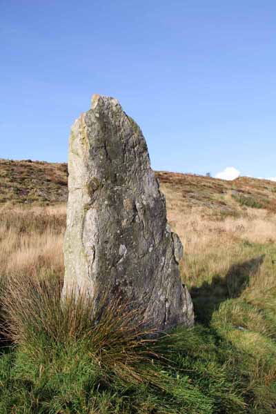
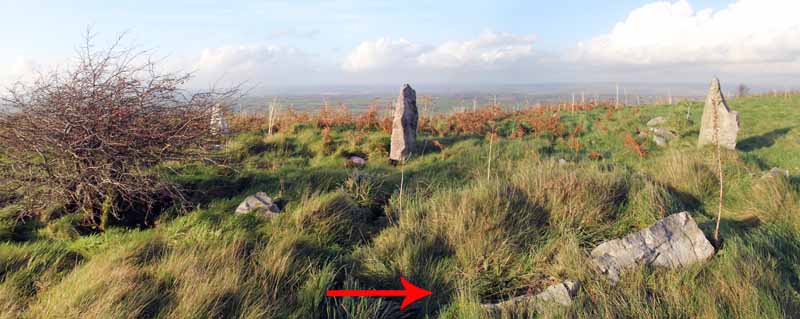
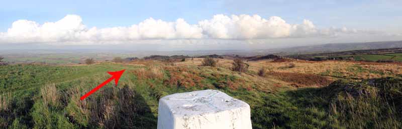
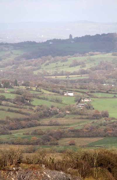
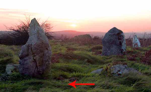
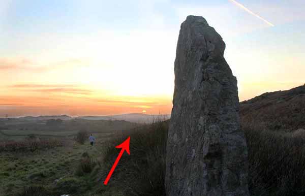
This access land has a standing stone, ancient cairns and rugged outcrops. From the top you can see the countryside for miles around.

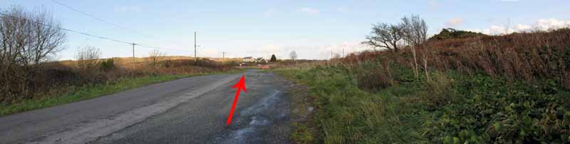
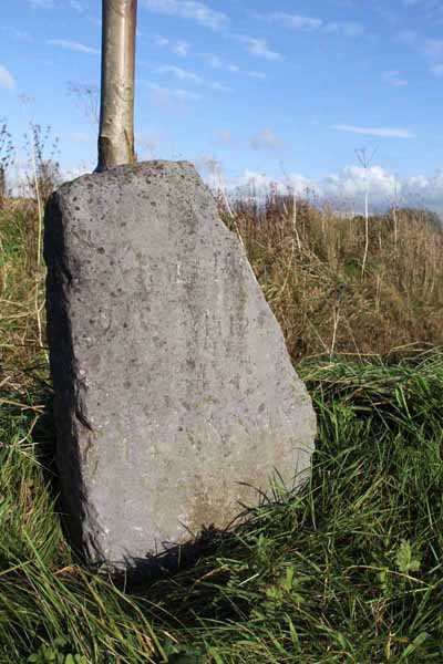
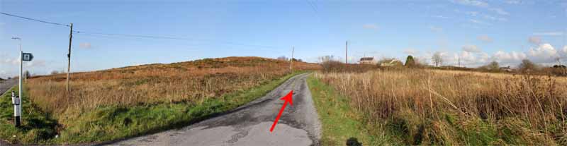
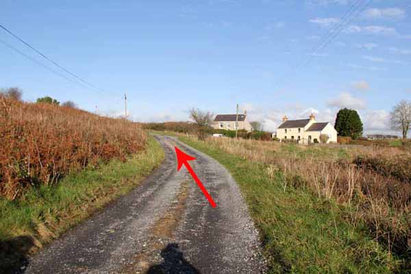
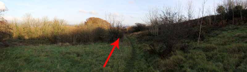
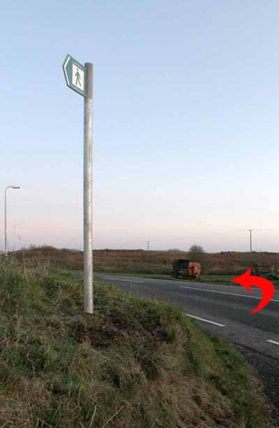
Cross the B4306 to an old milestone near the footpath sign. Follow the track past houses.
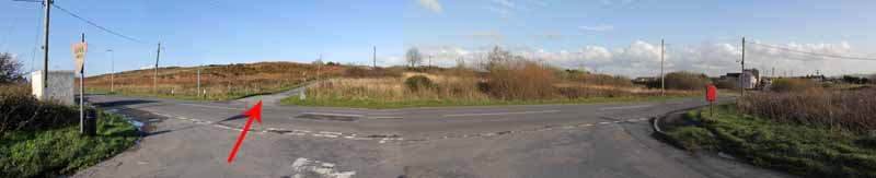
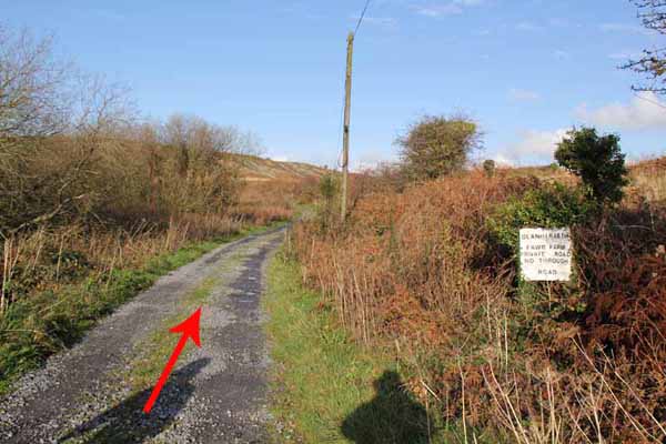
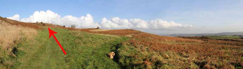
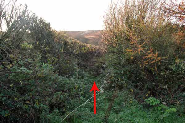
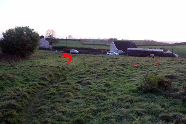
A private road sign comes into view but this is a right of way on foot. On the left, after the sign is a grassy area and a path ascends the hillside.
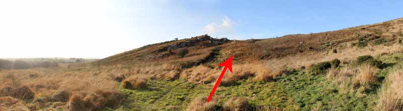
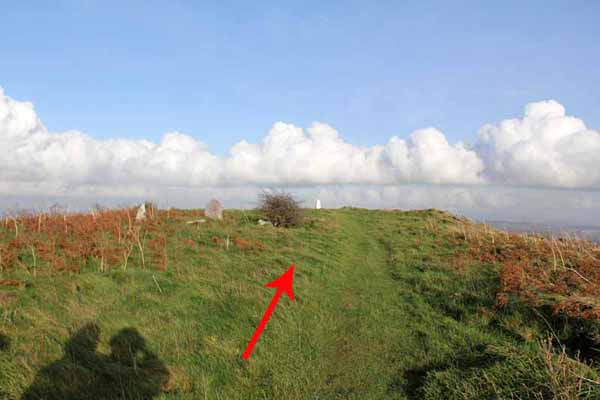
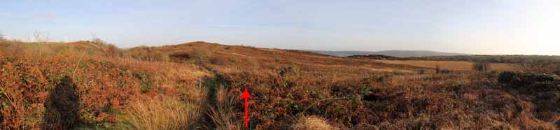
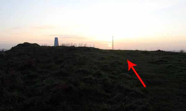
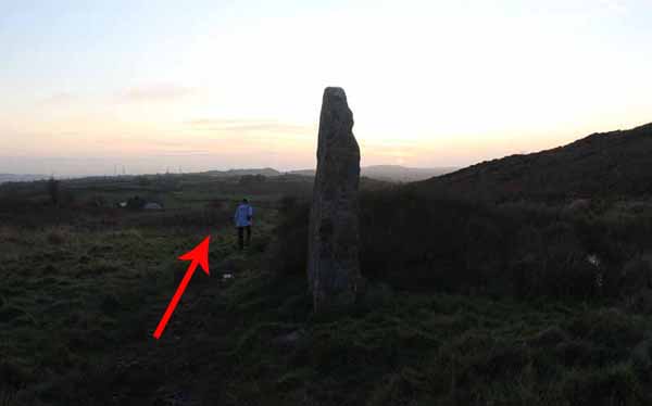
Watch on the left for a standing stone then continue right to a cairn and trig point for the view. Continue and descend the path, bearing left.
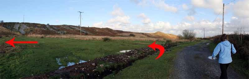
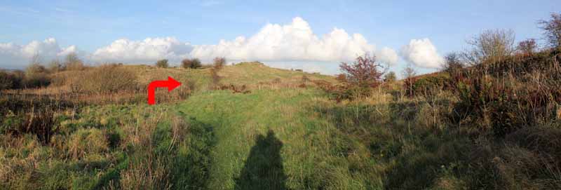
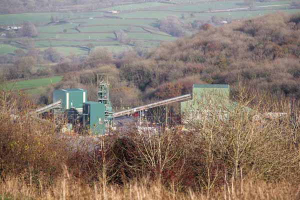
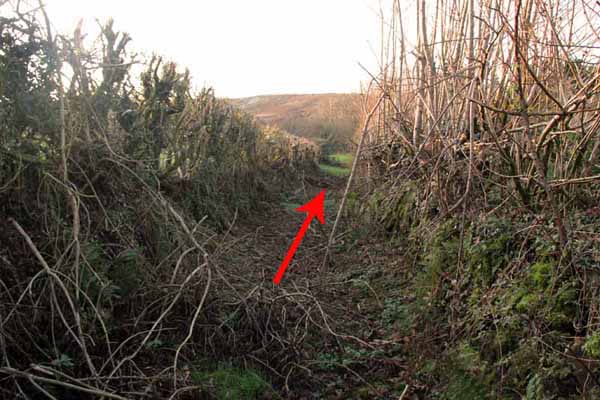
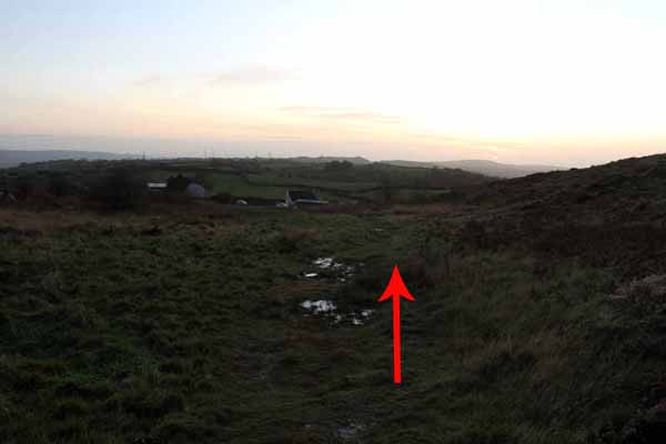
Near an old quarry, bear right. Trees are on your left and high ground on your right. Watch ahead for the working quarry.
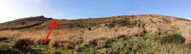
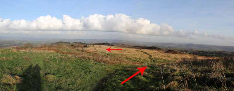
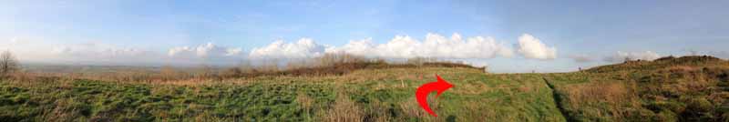
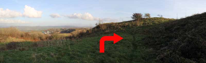
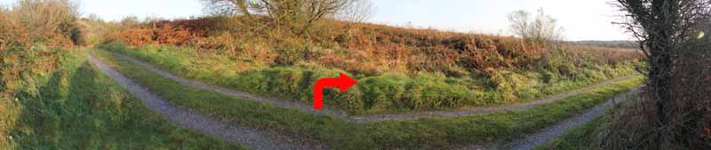
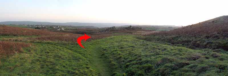
The path soon seems to disappear but here turn right and climb over the rise.
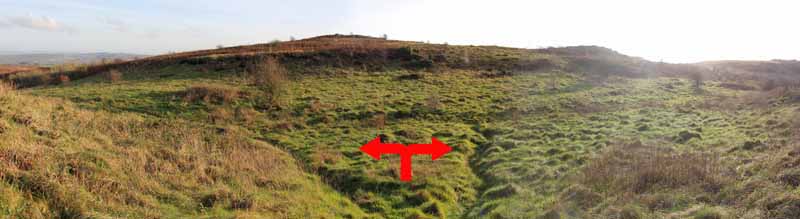
A rocky outcrop is ahead of you and the path can go left or right.

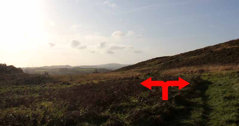
(The easier 2.5 mile walk turns right to the trig and past the standing stone to the road. Turn left along the road to the car).

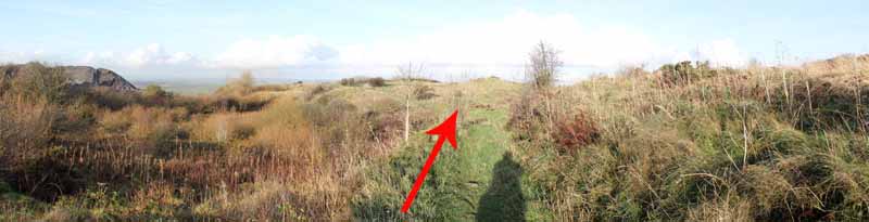
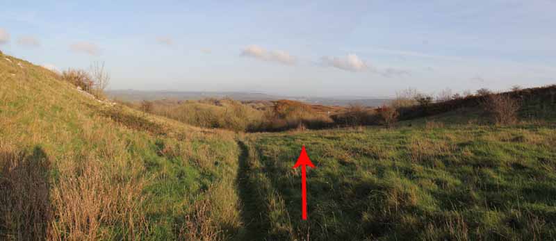
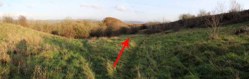
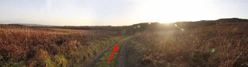
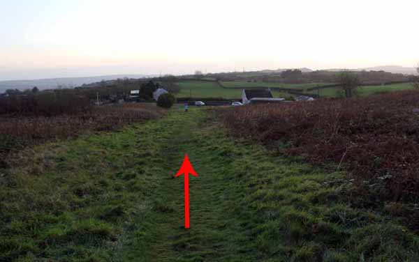
A longer walk turns left at that junction along a well walked path to a farm track. Turn right and follow to its end.
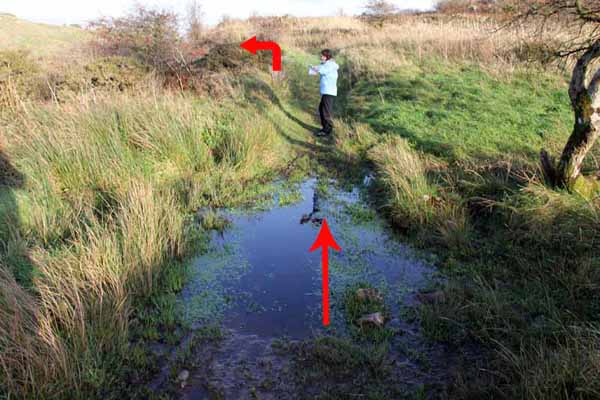
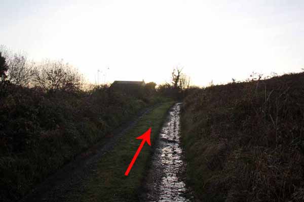
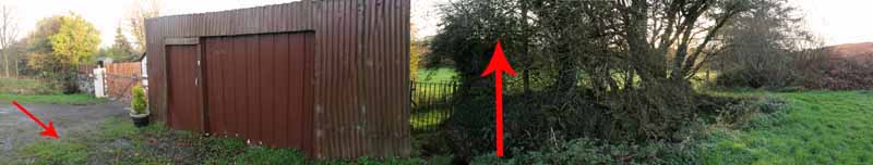
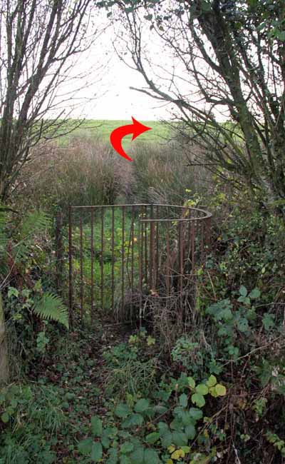
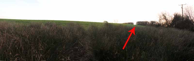
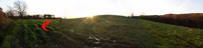
The kissing gate is hidden at the side of a structure after the house. Another kissing gate takes you up into a marshy field.
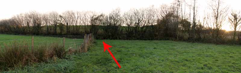
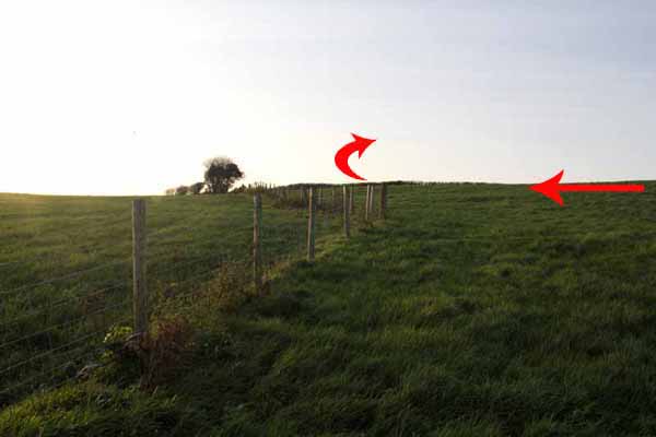
There are no further path markers so check your map. Bear right uphill to a gap in the hedge and go almost straight across towards a wire fence at the end of the field.
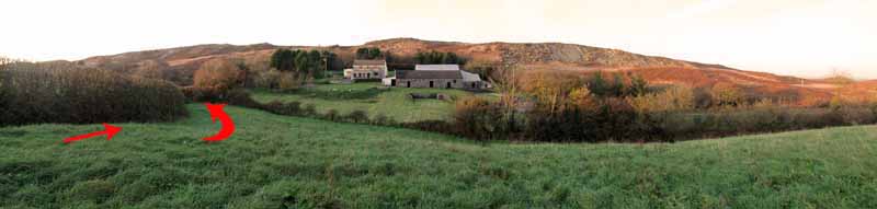
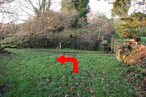
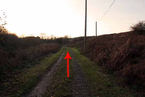
Turn right and continue down along a hedge towards a house. A narrow lane reaches a surfaced track. Turn left and follow to the road and the car.


Ramblers Cymru and Swansea Ramblers provide these routes but accept no responsibility for those walking them.

If you would like to go on a walk but would prefer to do so with a group of people then click on our Programme section to see what walks we are leading.

We have walks for varying levels of ability and you get the chance to see the countryside in places you might never go by yourself!


Maps of the Walk


Ordnance Survey map of the route to walk
Resizable and draggable
(Can be reset to original dimensions by refreshing the page)
Green Swansea Ramblers logo markers where present can be clicked to provide more information

Peoples Collection link

The route of this walk has been added to The National Museum of Wales' Peoples Collection Web site.
A choice of aerial imagery or historic Ordnance Survey mapping is available.
Click the map to enter their web site (opens in a new browser window)
or copy and paste this link into a new browser window.
http://www.peoplescollectionwales.co.uk/Trail/798-mynydd-llangynderyn


Photographs of the Walk


Photograph of Walking Route - Image 1


Photograph of Walking Route - Image 2


Photograph of Walking Route - Image 3
The old milestone


Photograph of Walking Route - Image 4


Photograph of Walking Route - Image 5


Photograph of Walking Route - Image 6
The private sign refers to traffic. This is a right of way on foot


Photograph of Walking Route - Image 7
Ascend the hillside here


Photograph of Walking Route - Image 8


Photograph of Walking Route - Image 9


Photograph of Walking Route - Image 10
Turn left to see the standing stone then go right and uphill
The shorter walk will return past this stone


Photograph of Walking Route - Image 11


Photograph of Walking Route - Image 12


Photograph of Walking Route - Image 13


Photograph of Walking Route - Image 14


Photograph of Walking Route - Image 15
A 360 degree view near here can be viewed at the end of these photographs


Photograph of Walking Route - Image 16


Photograph of Walking Route - Image 17


Photograph of Walking Route - Image 18


Photograph of Walking Route - Image 19
The old quarry is to the left but the walk goes right


Photograph of Walking Route - Image 20


Photograph of Walking Route - Image 21


Photograph of Walking Route - Image 22


Photograph of Walking Route - Image 23
The working quarry comes into view


Photograph of Walking Route - Image 24


Photograph of Walking Route - Image 25
Paxtons Tower


Photograph of Walking Route - Image 26


Photograph of Walking Route - Image 27
Turn left for the longer walk or turn right back to the trig for the shorter one


Photograph of Walking Route - Image 28
These photos continue left for the longer walk
See further down the photos for the shorter return to the right


Photograph of Walking Route - Image 29


Photograph of Walking Route - Image 30


Photograph of Walking Route - Image 31


Photograph of Walking Route - Image 32


Photograph of Walking Route - Image 33


Photograph of Walking Route - Image 34


Photograph of Walking Route - Image 35


Photograph of Walking Route - Image 36


Photograph of Walking Route - Image 37


Photograph of Walking Route - Image 38


Photograph of Walking Route - Image 39


Photograph of Walking Route - Image 40


Photograph of Walking Route - Image 41


Photograph of Walking Route - Image 42


Photograph of Walking Route - Image 43


Photograph of Walking Route - Image 44


Photograph of Walking Route - Image 45
Continue along this track to the road


Photograph of Walking Route - Image 46
The next photographs show the earlier return route for the shorter walk


Photograph of Walking Route - Image 47


Photograph of Walking Route - Image 48


Photograph of Walking Route - Image 49


Photograph of Walking Route - Image 50


Photograph of Walking Route - Image 51


Photograph of Walking Route - Image 52
Sunset over the mountain


Photograph of Walking Route - Image 53


Photograph of Walking Route - Image 54


Photograph of Walking Route - Image 55


Photograph of Walking Route - Image 56
Turn left, watching for traffic and return to the start


A scrollable 360 degree panorama from the path
(Firefox users will need to click on the photo to activate the scroll bars)


More information about walking in Wales is available at:    www.ramblers.org.uk/wales

Ramblers Cymru and Swansea Ramblers provide this route but accept no responsibility for those walking it

All photographs Copyright 2012 Andrew Morgan. All rights reserved


Swansea Ramblers hope you enjoy doing this walk.

Over time things can change on the walk

- for example - path diversions, new gates instead of stiles or maybe the path has become blocked.

If you do find anything different on the way then let us know:

1. Which walk you have been on.

2. The type and location of the change or the problem you have experienced.


Of course you may just like to tell us that you have done the walk and whether you enjoyed it.

Use the link below to email us about your walk.

We'll look forward to hearing from you.


If the email link is not displayed above or is not supported by your email setup, manually type in our email address
address


Back to top

Our use of Cookies

Our Privacy Policy


Valid HTML 4.01 Transitional