Walk Description
This is a wood full of strange and exotic names:
Capon's Hill, Benjy's Leg, Mead Moor, Bryn-sil Top, Murray's Plantation and Penny Hitch (where horses were hired to pull carts up the hill).
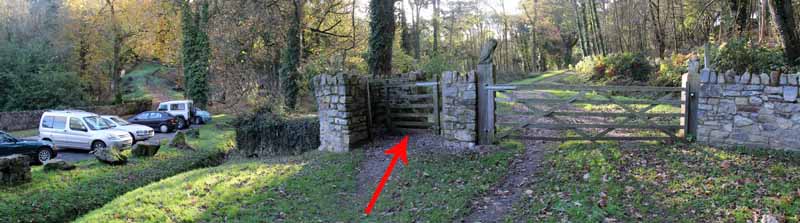
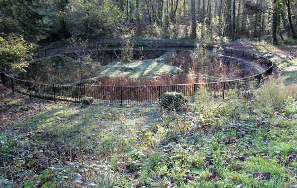
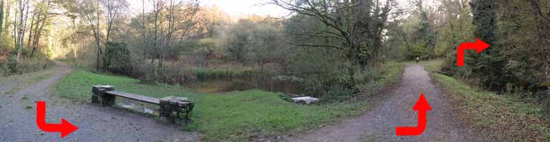
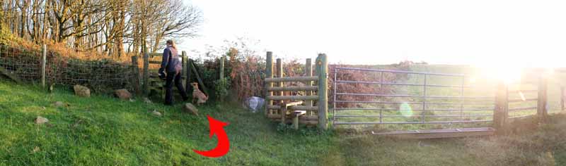
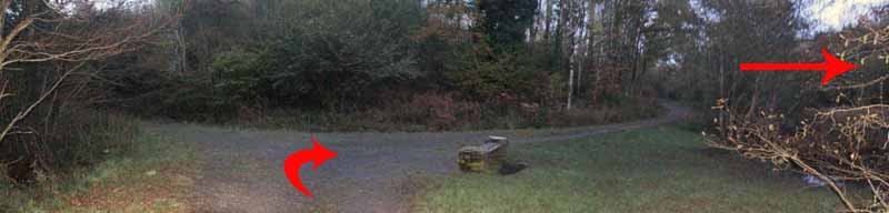
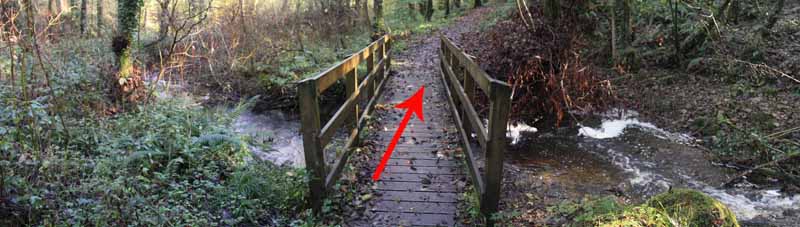
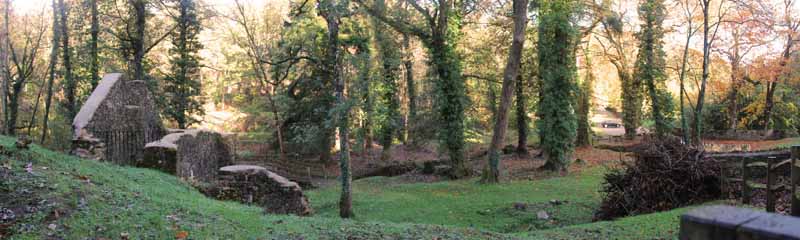
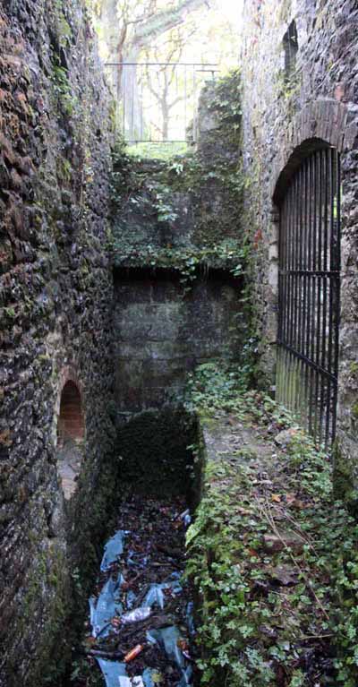
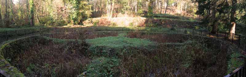
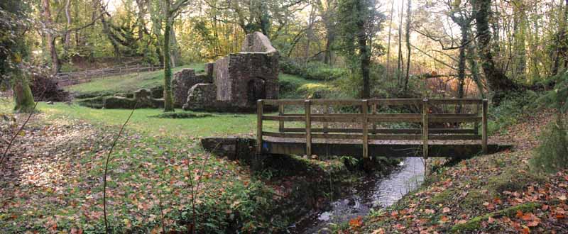
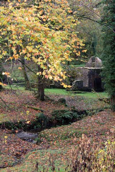
Go through the kissing gate and note the ruins of the mill and the fish ponds.
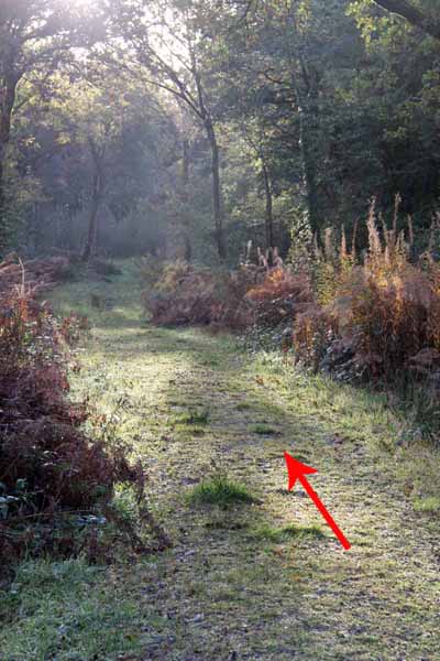
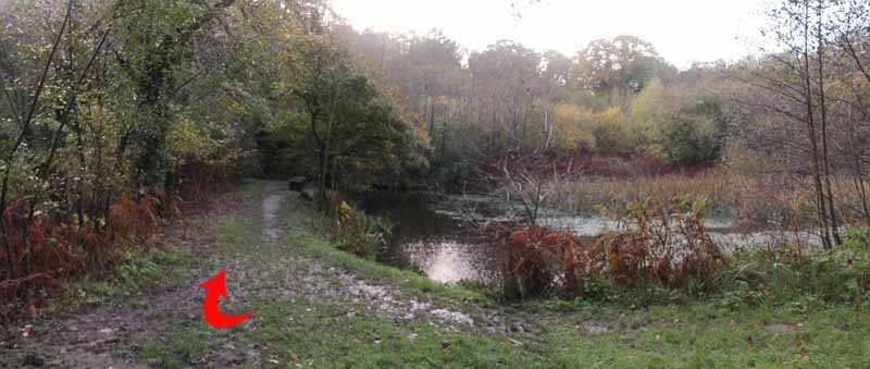
Follow the track to another pond.
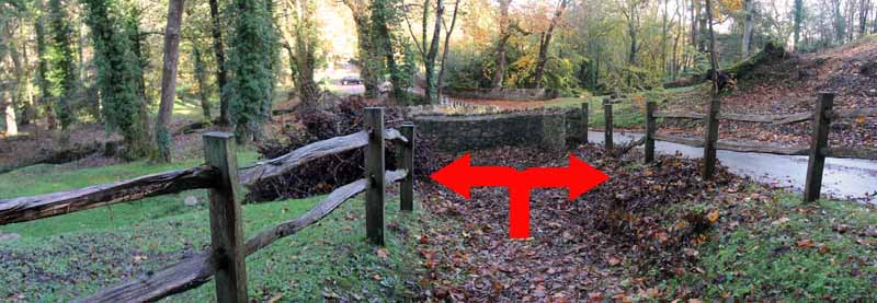
The path bears left at the far end of the pond (Ignore the path on the right)
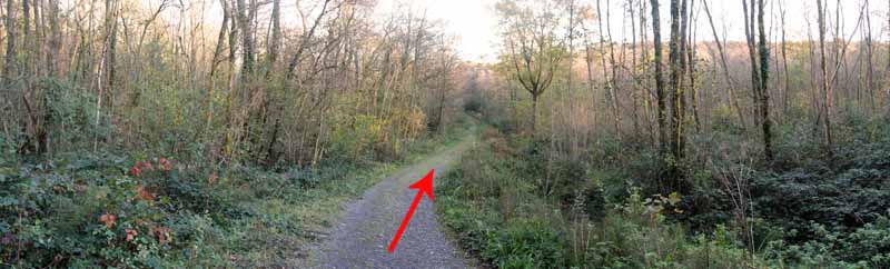
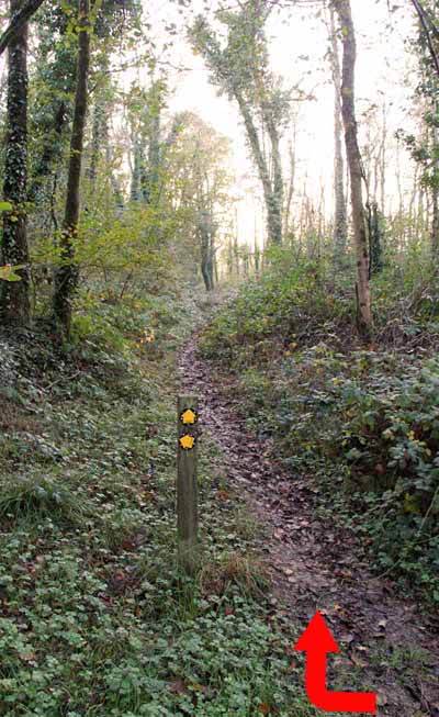
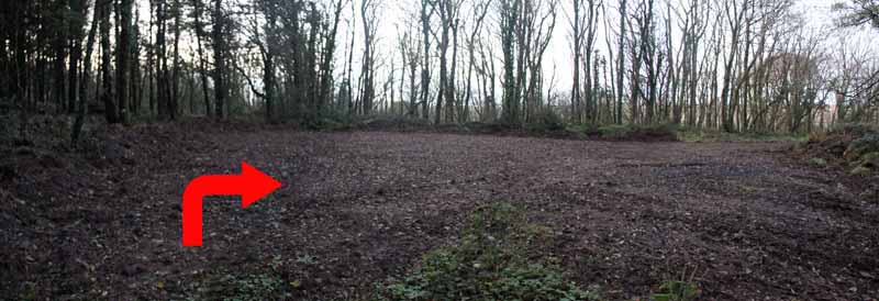
Just after the pond, take the next right.
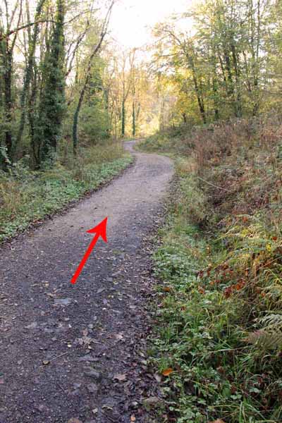
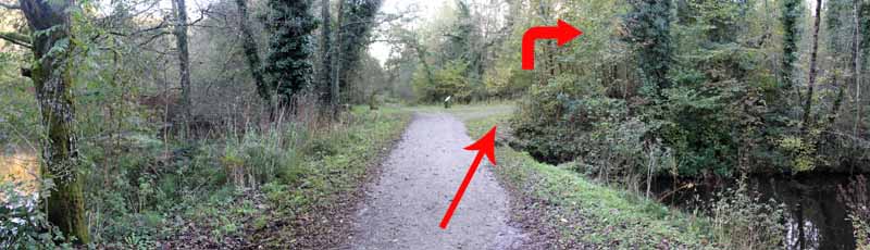
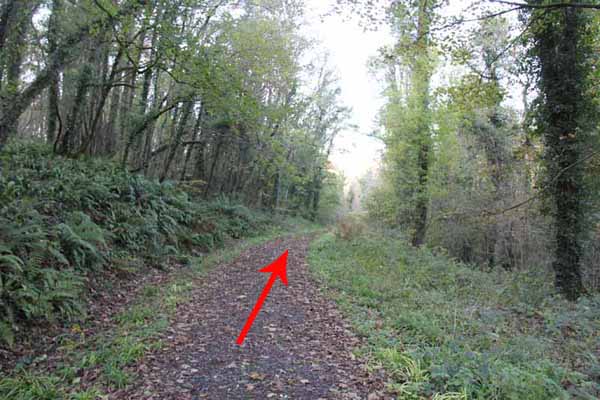
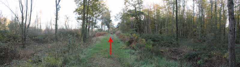
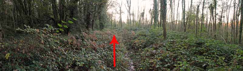
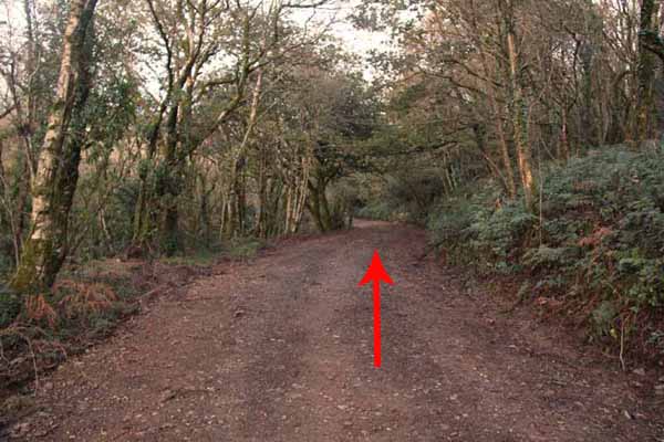
The broad path ascends gently and goes deep into the woods in a loop that will return close to the pond.
Coniferous and deciduous trees are to be seen on the way.
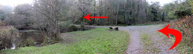
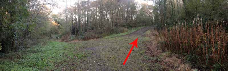
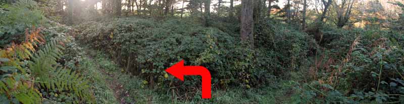
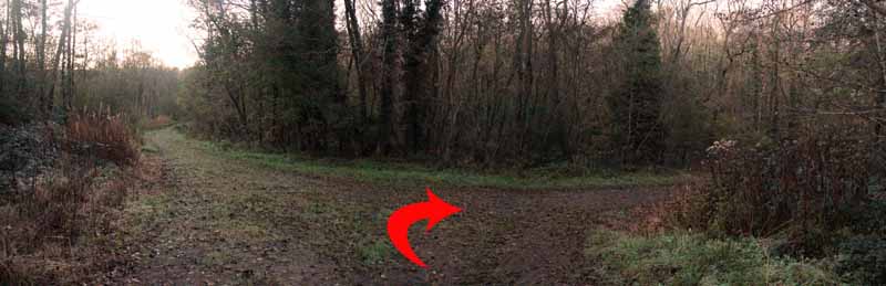
Ignore the broad left turn. You'll see the other end of that track later.
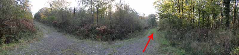
The path eventually curves round and that other track rejoins it on the left.
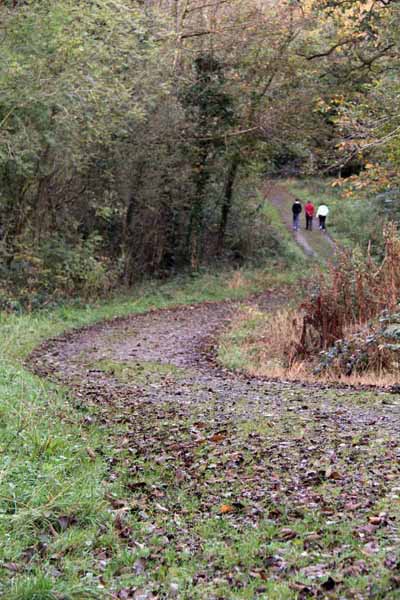
Ignore it and continue straight on until you reach a junction.
The left path goes back to the pond (and can be used to shorten the walk)
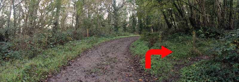
but instead turn right then watch carefully for the footpath sign almost immediately on the right.
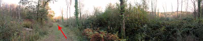
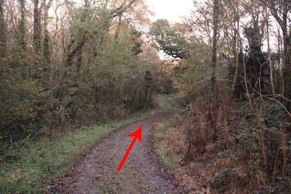
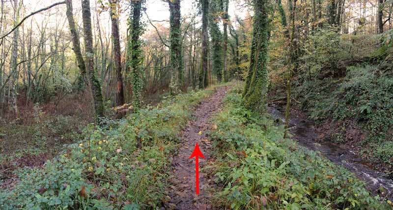
The rest of the walk follows another loop back to this point but now you get closer to the woods with a muddy path and brambles.
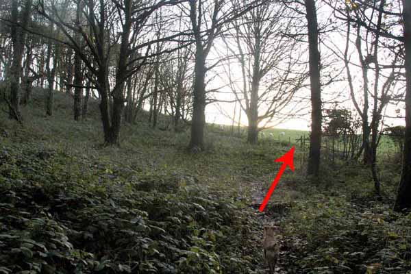
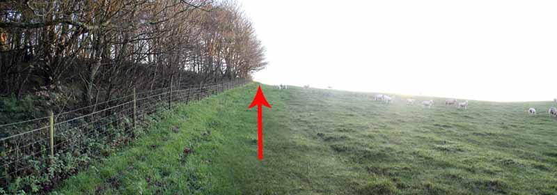
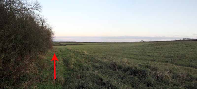
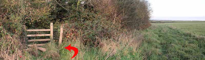
After a while bear left at a fork and cross a stile into a field. Turn left uphill to three stiles.
Take the left stile to follow the edge of the forestry through two fields to another stile back into the woods.
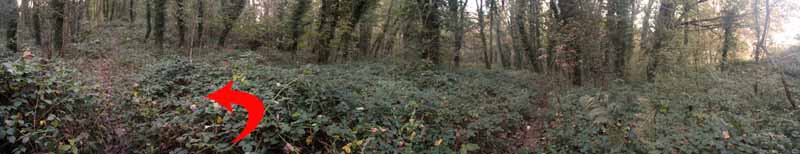
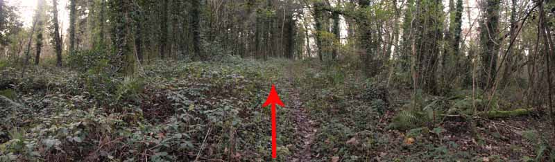
This footpath goes straight on but after a few yards turn left on the uphill path to Bryn-sil Top.
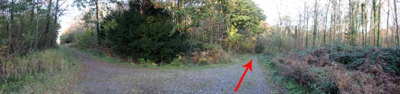
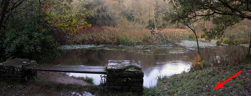
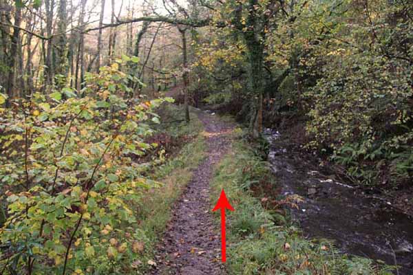
Descend on the broad forestry road back to that track junction and bear right to continue descending to the pond.
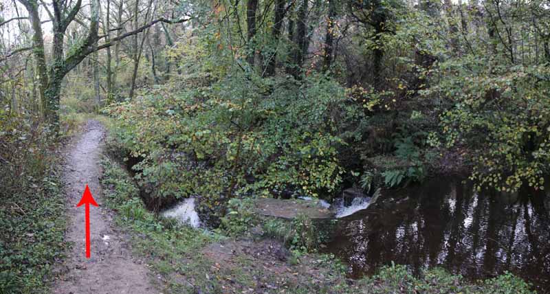
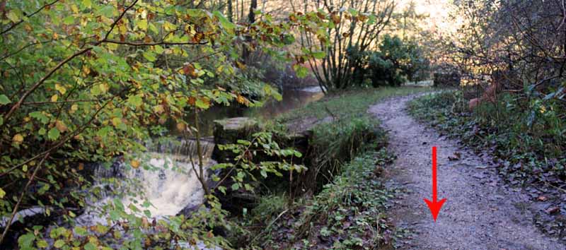
Turn right at the other side of the pond to the waterfall.
Follow the riverside path back to see the mill and fish ponds.
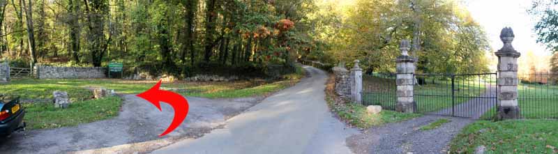
Go through a gate back to the car park.
(This walk was last checked in November 2011. If anything has changed, please let us know)
Ramblers Cymru and Swansea Ramblers provide these routes but accept no responsibility for those walking them.
If you would like to go on a walk but would prefer to do so with a group of people then click on our Programme section to see what walks we are leading.
We have walks for varying levels of ability and you get the chance to see the countryside in places you might never go by yourself!
This aerial map is resizable and draggable
(Can be reset to original dimensions by refreshing the page)
A 25,000 Ordnance Survey map of the area
can be viewed by clicking on the above 'View Larger Map' option
(applies only if the above is a Bing map, not a Google map )