Walk Description
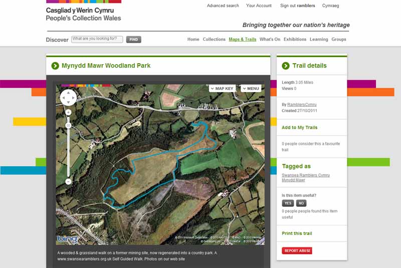
Mynydd Mawr was originally an open cast mining area, now landscaped and developed as a woodland park.
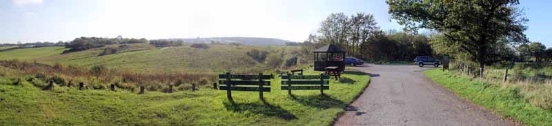
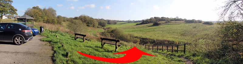
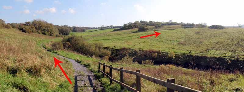
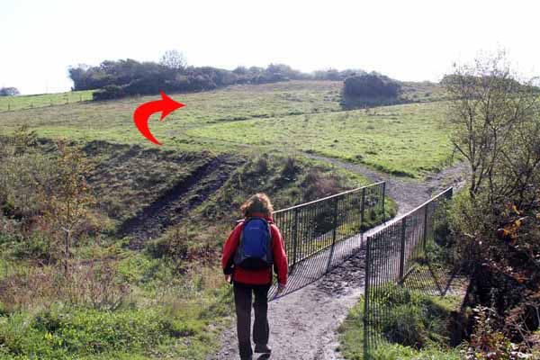
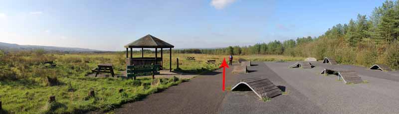
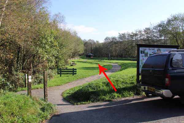
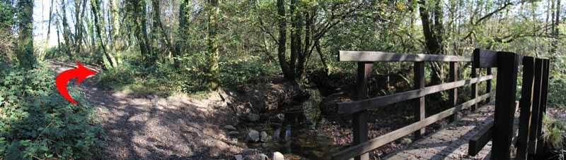
Descend from the car park and cross the bridge and ascend on the broad track uphill,
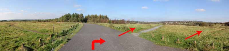
(noting almost 360 degree views), bearing right at a fork to a tarmacadam track and skateboard/BMX area.
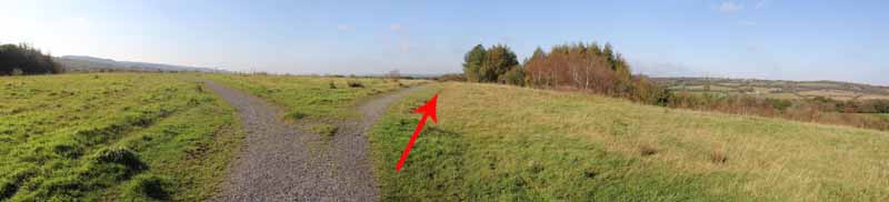
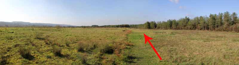
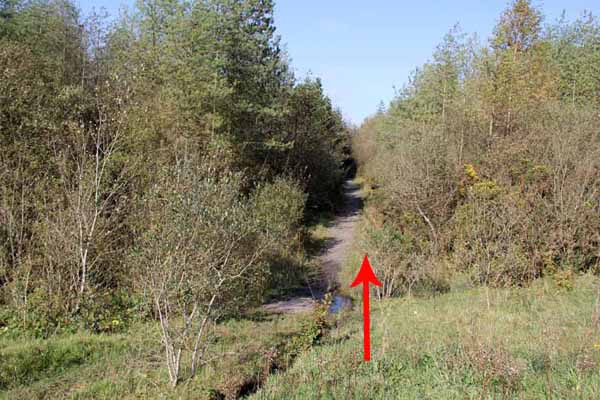
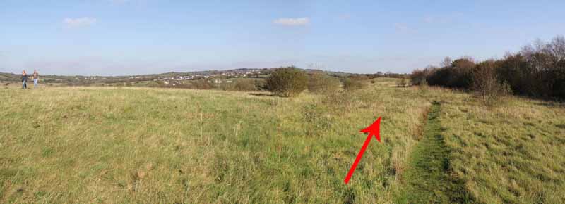
Follow the grass path at the rear of the facility, heading towards trees in the distance.
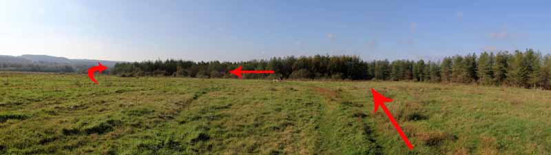
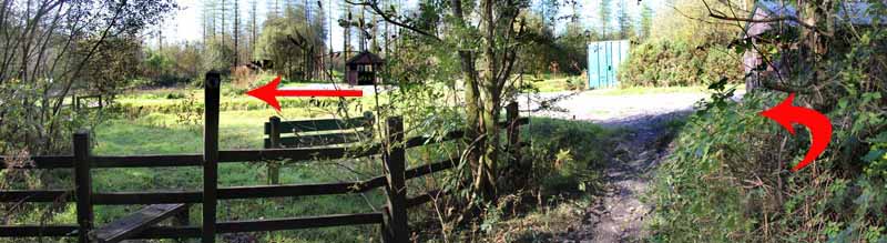
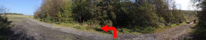
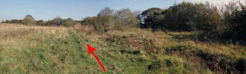
Near the trees, go left and turn the corner of the woods.
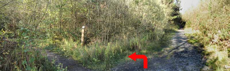
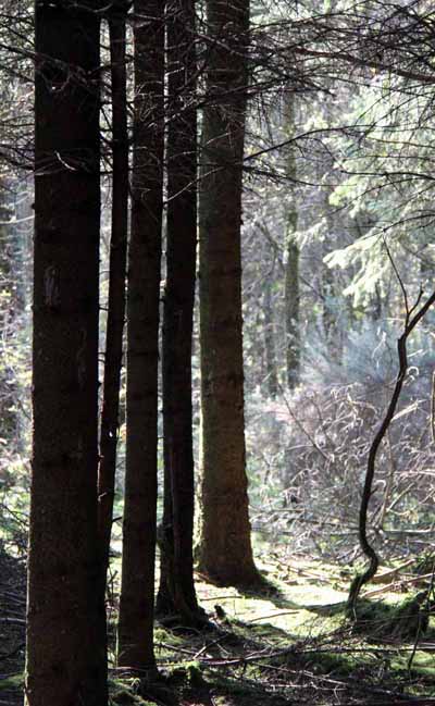
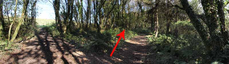
Enter woodland on the forest path then take the first left.
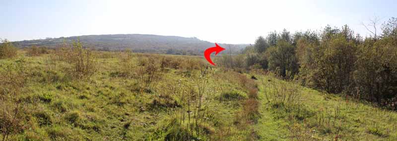
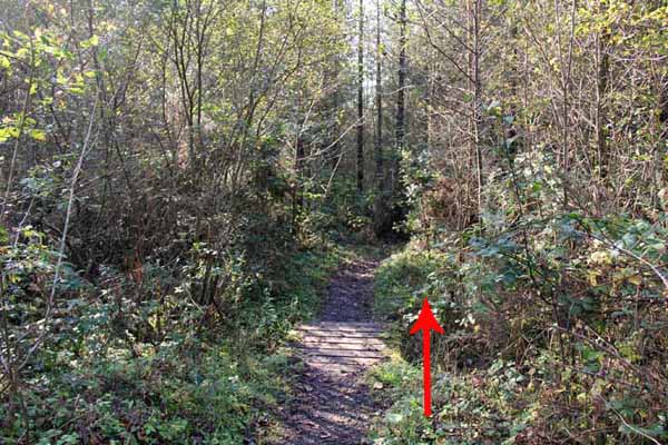
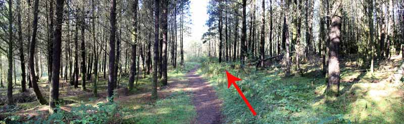
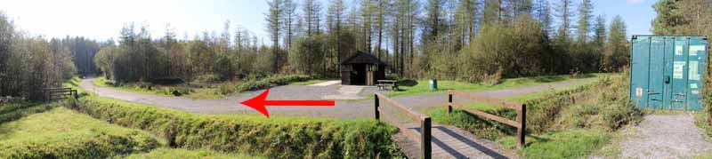
Go straight across at a path junction, ignoring other paths until you emerge into an open area at a stile.
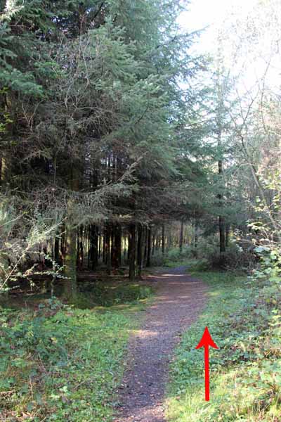
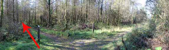
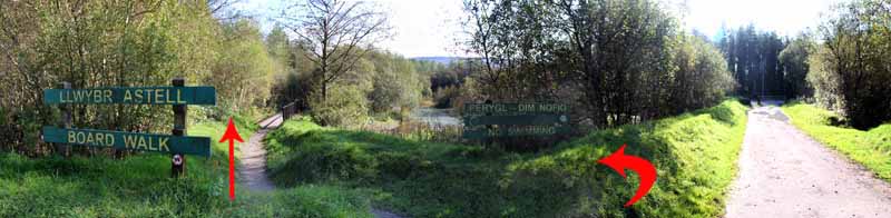
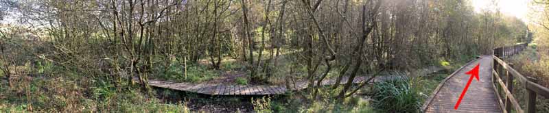
Turn left on the broad track then left at the boardwalk sign.
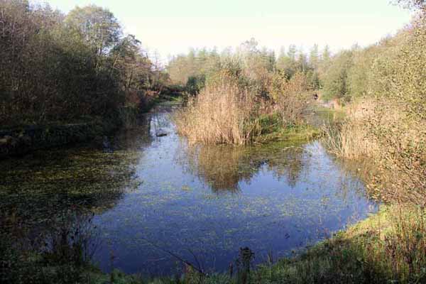
Follow this around the lake, ignoring another boardwalk that joins it.
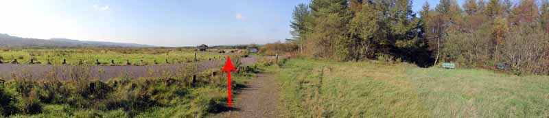
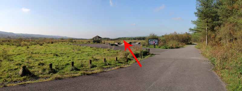
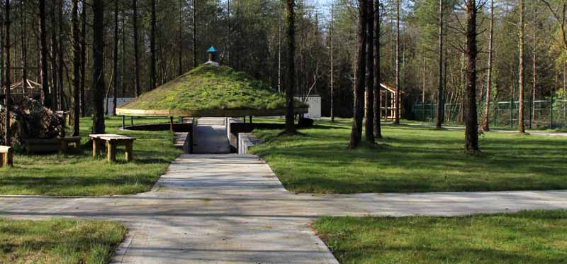
In the southern car park, turn left through a picnic area.
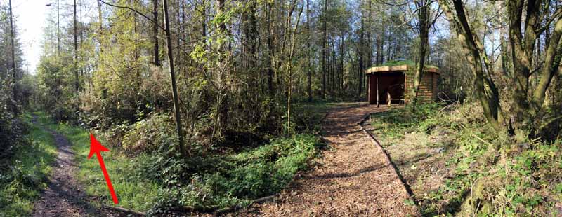
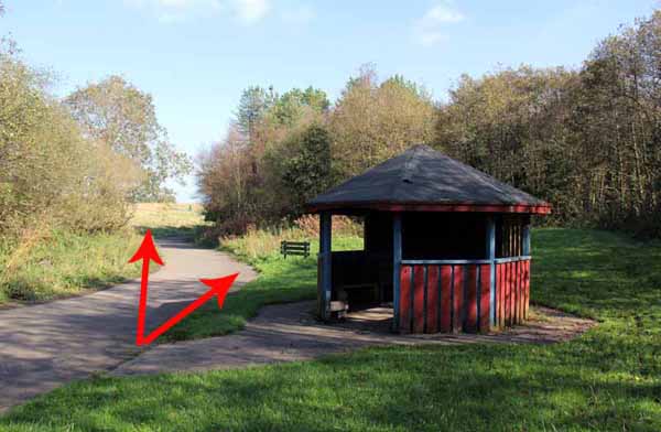
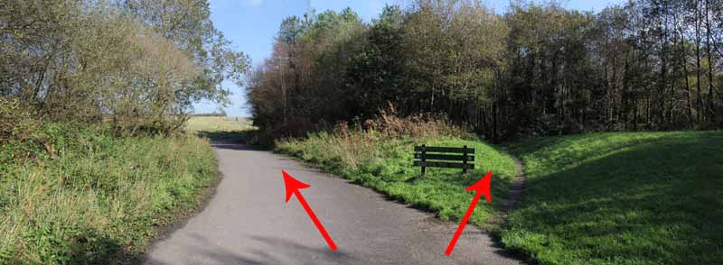
At a red wooden structure the broad path turns left and eventually returns to the skateboard/BMX site.
You can take this or go right on the path by the Woodland Walks sign.
This Woodland Walks riverside path rejoins the broad path further on and
is a more interesting walk but does have a little mud in places.
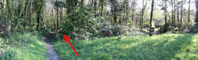
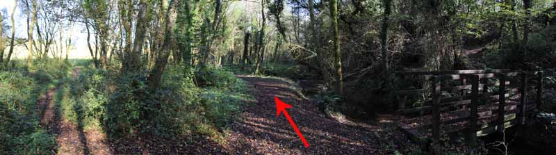
A number of bridges offer other possible routes but keep to the left side of the river
until at a junction with a broad path you can turn left to rejoin the broad tarmacadam track.
Whichever way you chose to go, now follow this road back up onto the high flat summit.
A gravel path on the right takes you back to the start but a grass path just before it provides a nicer alternative.
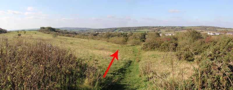
Follow the grass path along the edge of the park towards woodland.
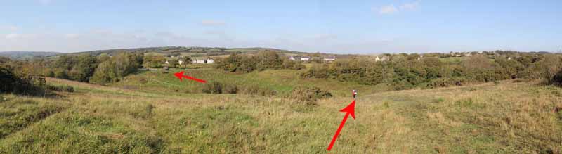
Do not enter the woodland, turning left just before the woods and
following the edge of the trees to eventually overlook the gravel path.
Rejoin the path and return to the car park.
Ramblers Cymru and Swansea Ramblers provide these routes but accept no responsibility for those walking them.
If you would like to go on a walk but would prefer to do so with a group of people then click on our Programme section to see what walks we are leading.
We have walks for varying levels of ability and you get the chance to see the countryside in places you might never go by yourself!
This aerial map is resizable and draggable
(Can be reset to original dimensions by refreshing the page)
A 25,000 Ordnance Survey map of the area
can be viewed by clicking on the above 'View Larger Map' option
(applies only if the above is a Bing map, not a Google map )