Walk Description
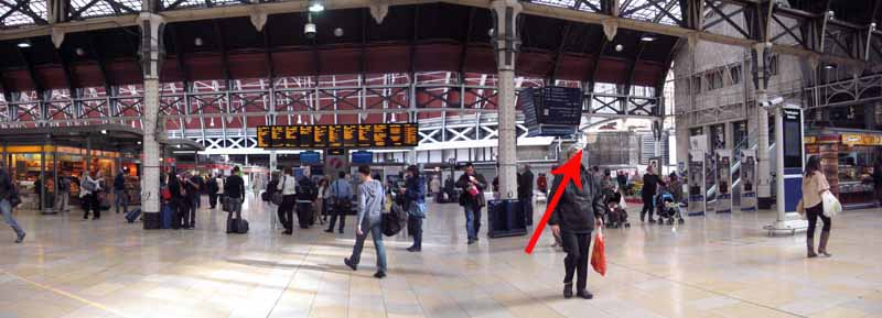
Ever been stuck in Paddington Station wondering what to do until your train comes?
Here's a waterside walk with cafes hidden away from the hustle and bustle of the city.
Also, water-buses offer an almost traffic-free opportunity to visit London Zoo.
Check the water-bus times before your journey and leave enough time to get back for your train if just doing the walk!
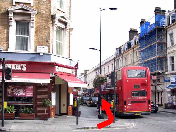
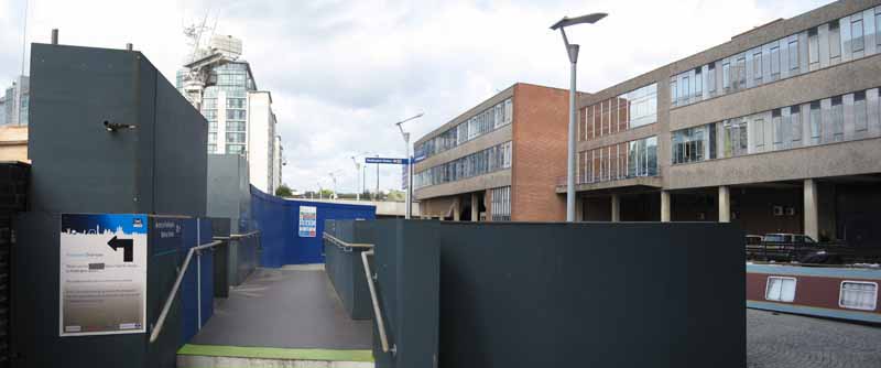
Face the underground steps then turn left and head uphill on the sloping access road out of the station.
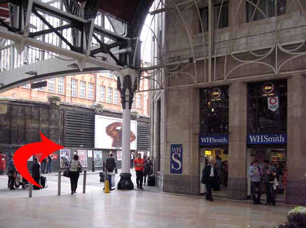
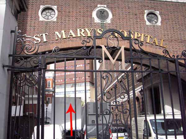
Turn left along Praed Street, passing Winsland Street, to reach the arched entrance to St Mary's Hospital.
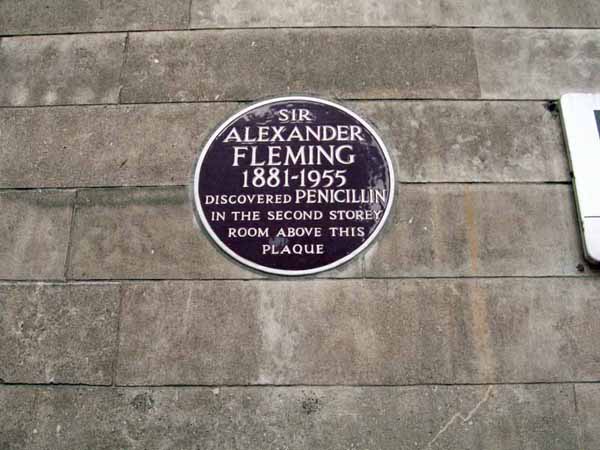
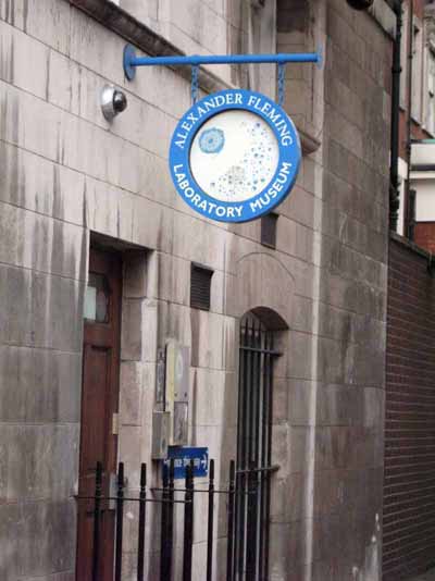
Here you can see the plaque & visit the Alexander Fleming Museum where penicillin was discovered.
(Check opening times before planning a visit).
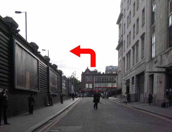
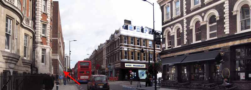
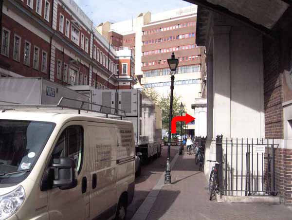
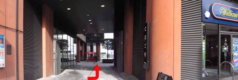
Pass under the arch and head towards the high rise hospital building in front of you.
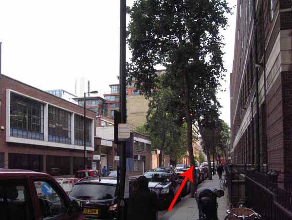
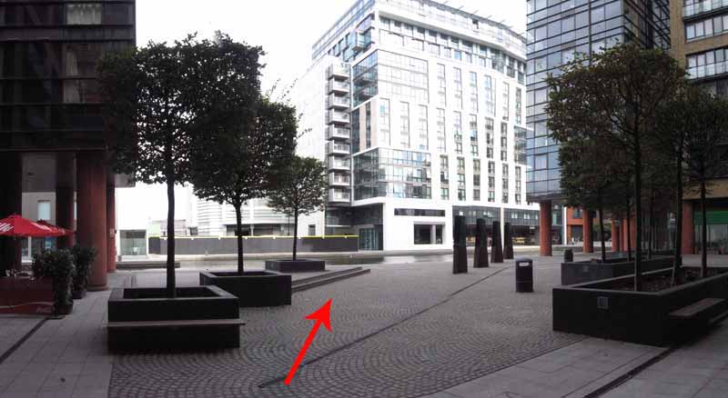
At the end of the road turn right onto South Wharf Road then cross to the other side.
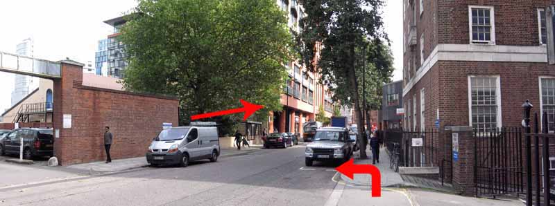
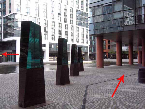
Turn left at a broad passageway through which you can see the waterside.
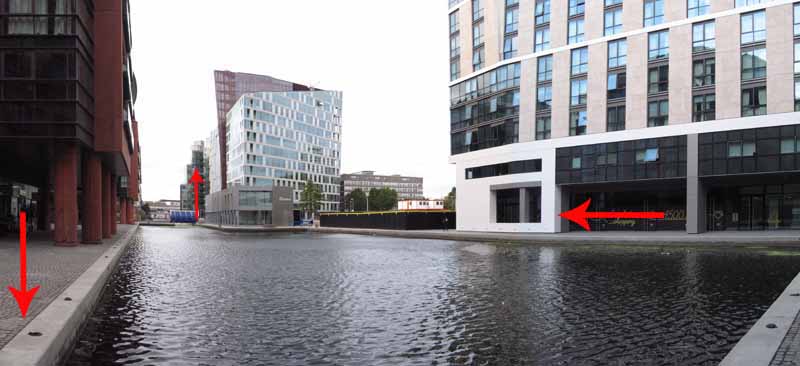
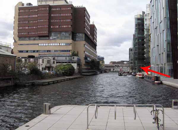
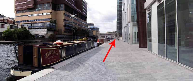
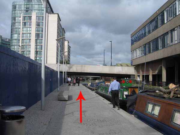
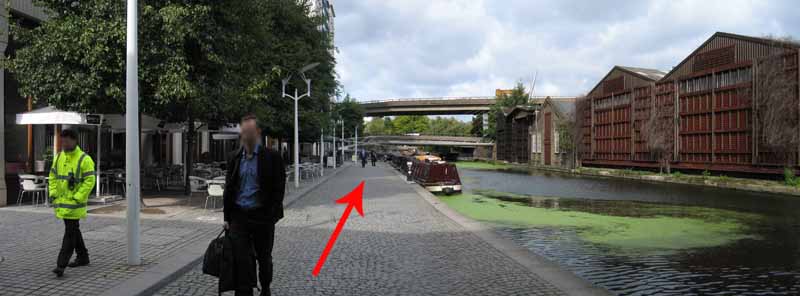
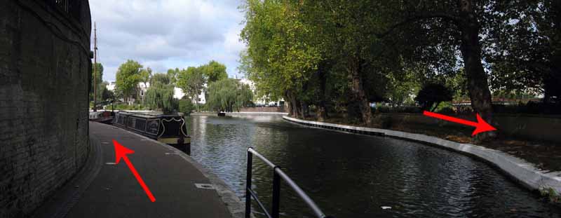
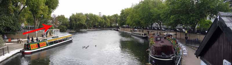
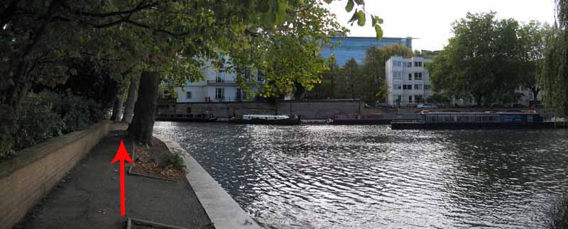
Turn right and follow the water's edge to the other side of the basin
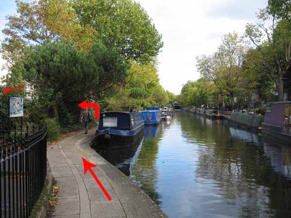
and continue past canal boats and under a footbridge to a right hand bend.
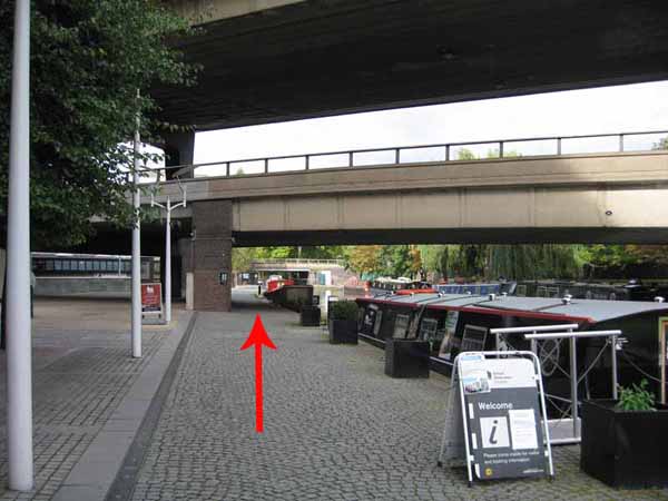
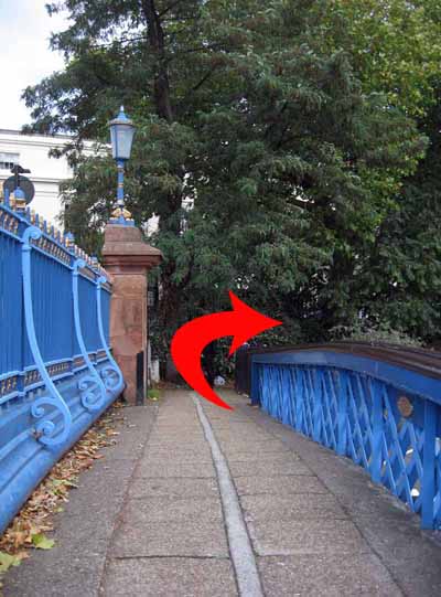
Take the next bridge to the other side of the canal.
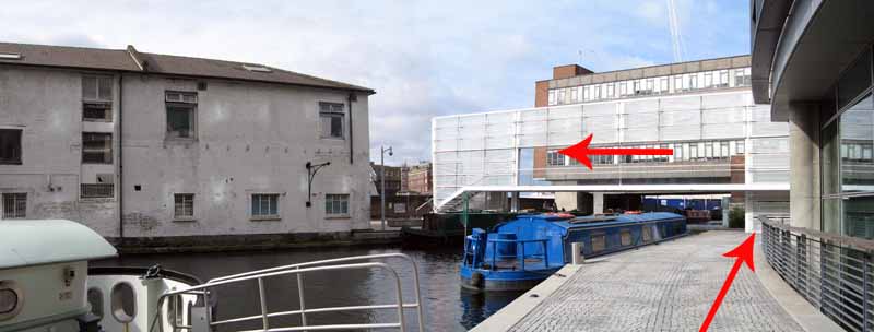
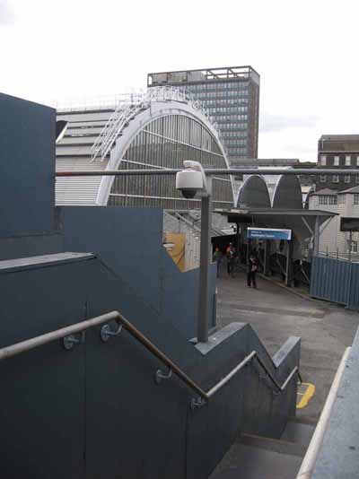
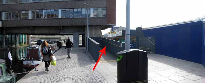
Note the access point to the back of the railway station that you will use on the return.
Station renovation is ongoing so check that there is no disruption to access.
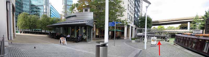
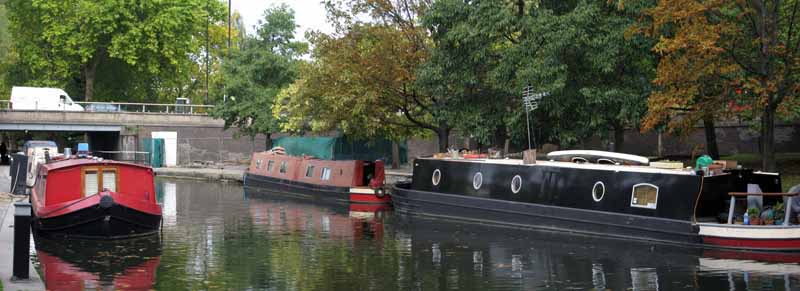
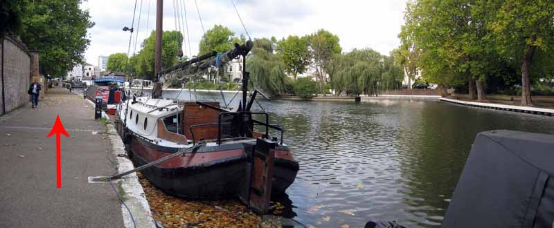
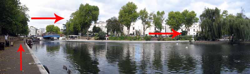
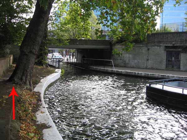
Follow the canal to a basin the poet Robert Browning called Little Venice.
There are cafés along the way and a floating café in the basin.
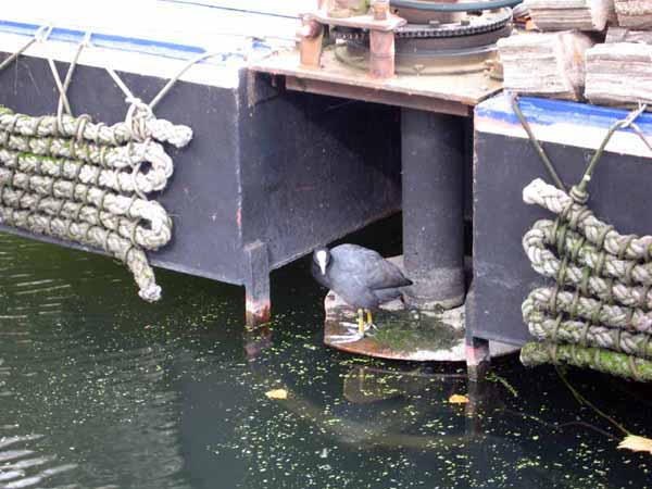
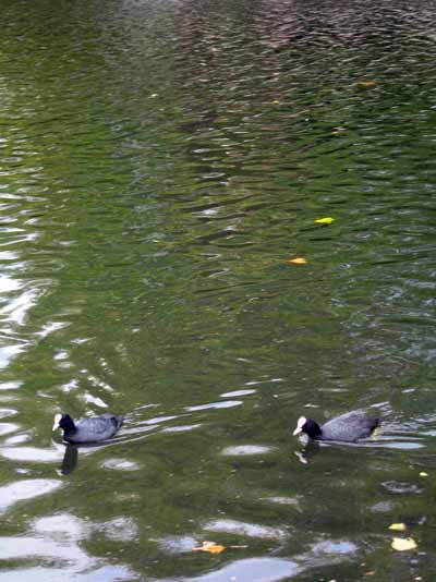
Wildfowl, including cormorants can be seen here.
Water-buses leave for Regent's Park but check the times.
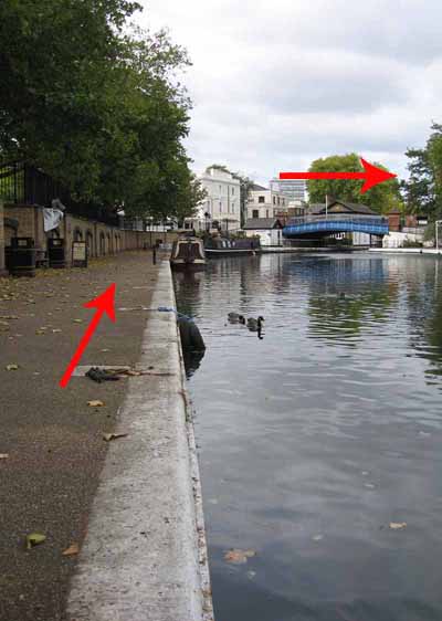
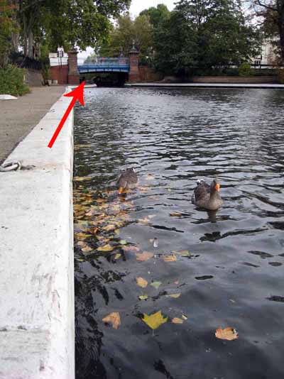
Follow the water's edge & bridge to the other side and go under the canal bridge.
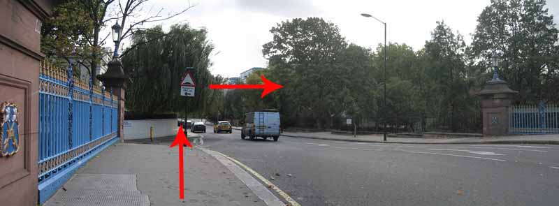
Turn left onto Blomfield Road then turn left to cross that canal bridge you just went under.
Safely cross the road to Rembrandt Gardens.
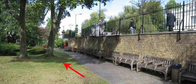
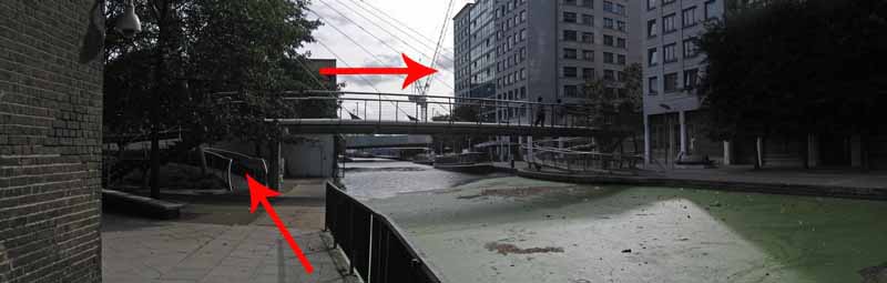
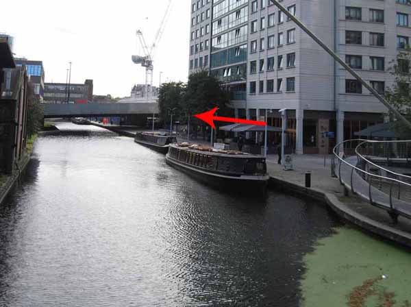
Use either of the waterside exits to follow the uneven canal side back towards Paddington.
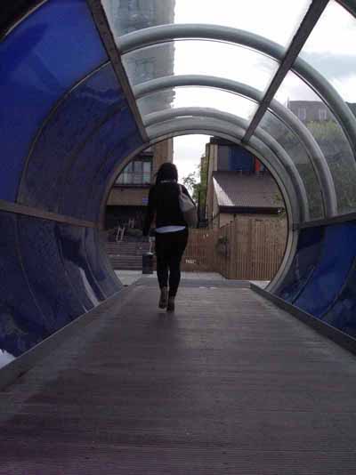
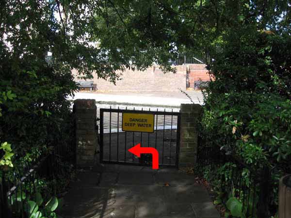
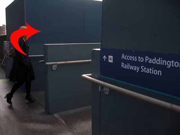
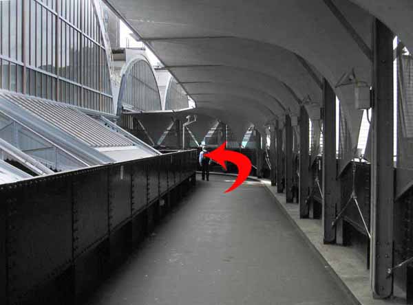
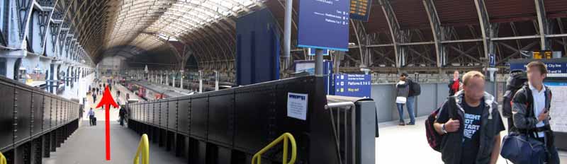
Cross the spiral bridge to the other side and follow the canal back to the railway access point you passed earlier.
Ramblers Cymru and Swansea Ramblers provide these routes but accept no responsibility for those walking them.
If you would like to go on a walk but would prefer to do so with a group of people then click on our Programme section to see what walks we are leading.
We have walks for varying levels of ability and you get the chance to see the countryside in places you might never go by yourself!
This aerial map is resizable and draggable
(Can be reset to original dimensions by refreshing the page)
A 25,000 Ordnance Survey map of the area
can be viewed by clicking on the above 'View Larger Map' option
(applies only if the above is a Bing map, not a Google map )