Walk Description
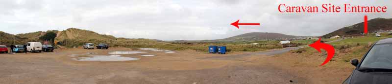
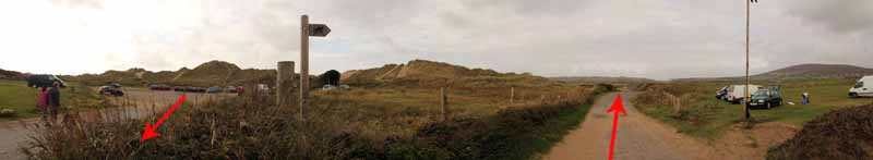
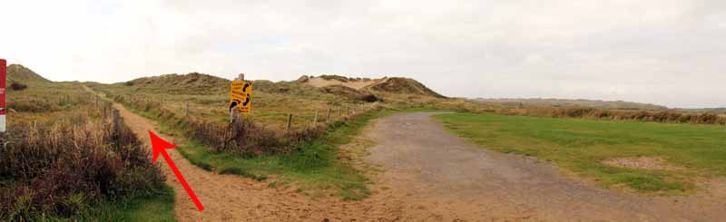
At the end of the metalled road, just before driving onto the sand car park, there is a signpost on the right.
(On left when walking back towards caravan entrance)
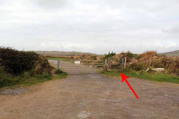
This leads to a gate and a path onto the beach.
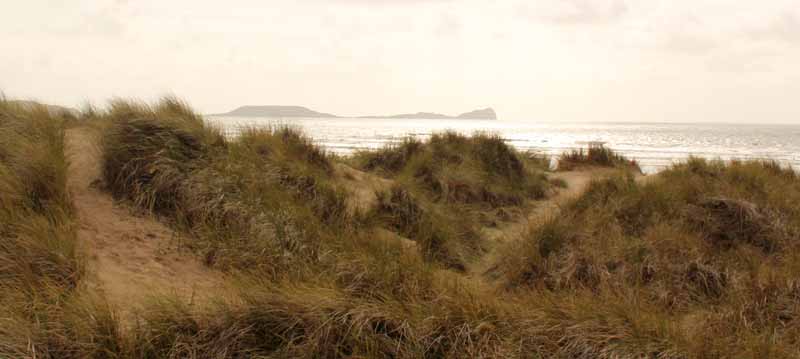
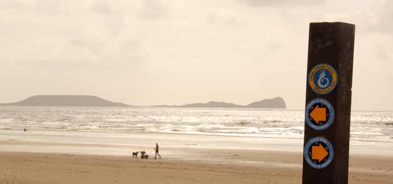
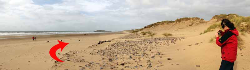
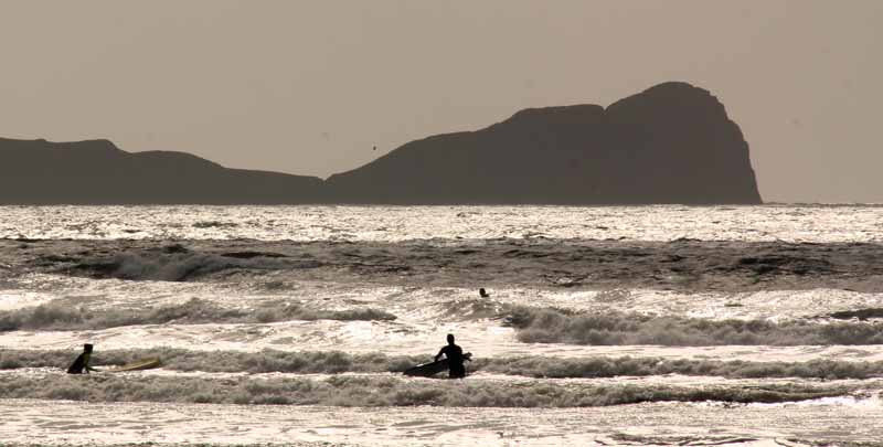
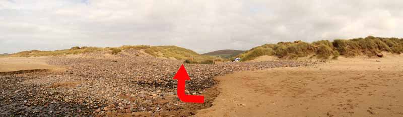
Once there look at the view of Worms Head and Burry Holms then turn right and walk along the sand to a stream on the beach.
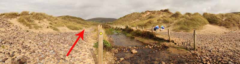
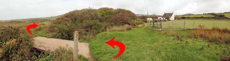
Cross it, go inland on a footpath and go through a kissing gate.
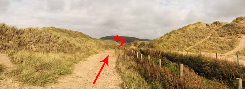
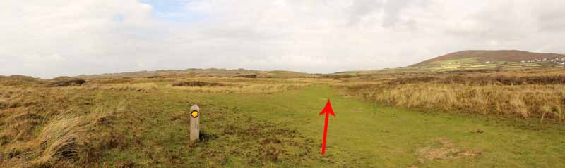
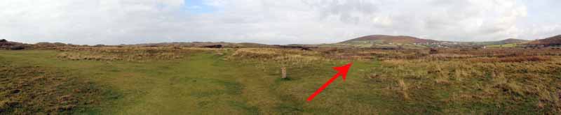
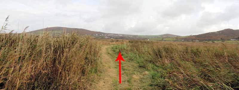
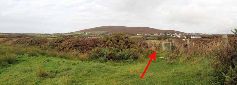
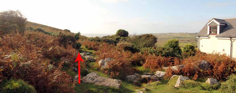
Continue north until you see two wooden sign posts low in the ground.
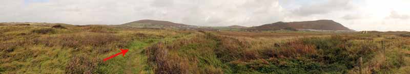
The second post indicates two directions that can be walked but take the right path into the fenland.
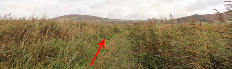
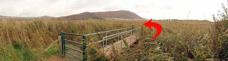
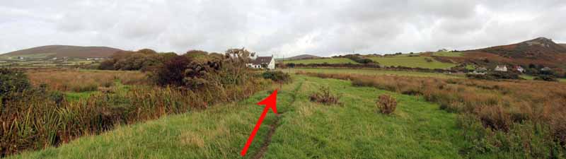
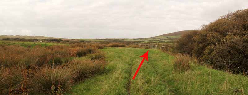
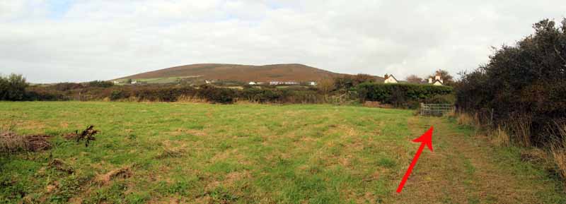
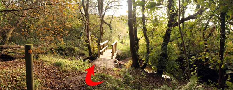
Follow the path and cross a bridge, continuing along the reed lined path towards a house.
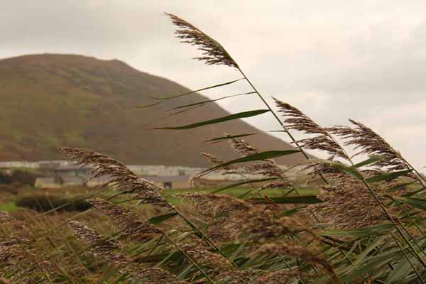
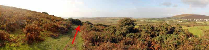
Take time to look around at the views of Rhossili Down, Llanmadoc Down and Hardings Down that surround the flat moorland.
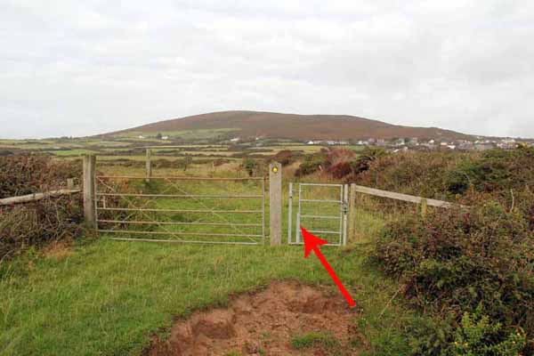
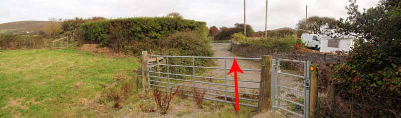
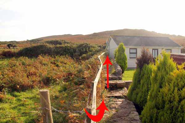
Just before the house ignore the footpath straight on, instead turn left across a concrete bridge and then immediately right to a footpath gate.
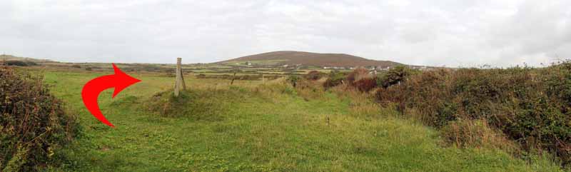
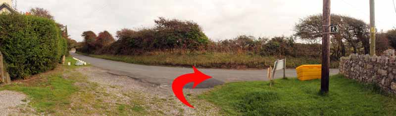
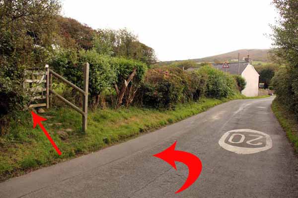
Continue straight on through more gates until you reach the gate in the right hand corner of the field that goes onto the road close to a house.
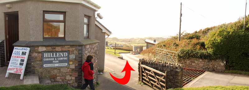
Once on the road turn right towards Hillend then after a few yards take the footpath on the left at the bottom of a garden.
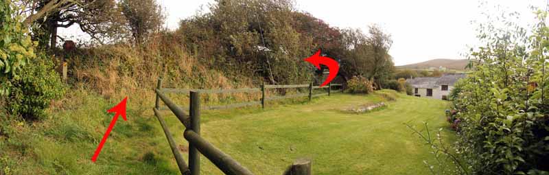
This attractive woodland path takes you into the land between Llangennith Village and Rhossili Down.
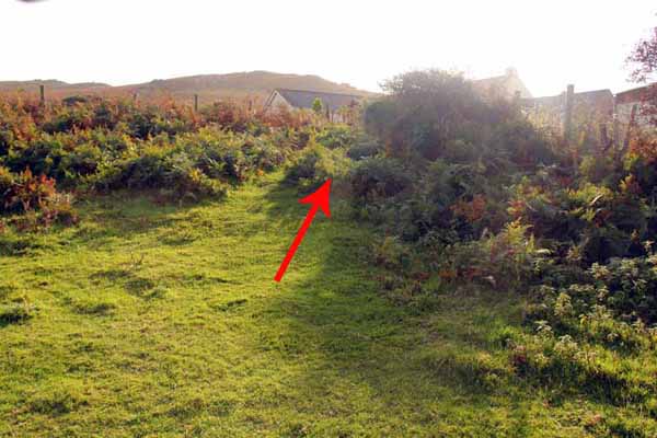
Go through a metal gate and carry straight on to a footbridge.
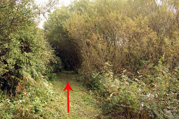
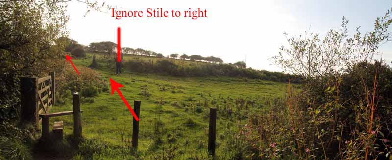
The only real climb of the day starts here as you follow the hedgerow uphill, ignoring the first stile on the right.
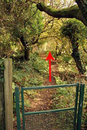
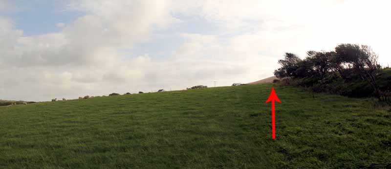
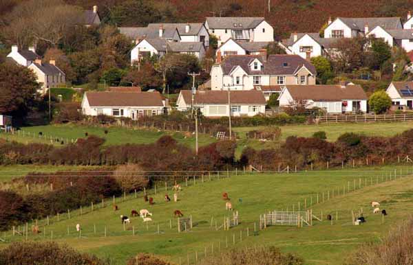
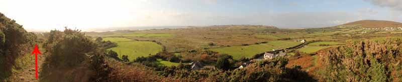
Make for the one house up ahead and follow the path as it goes alongside the left side of the house onto Rhossili Down.
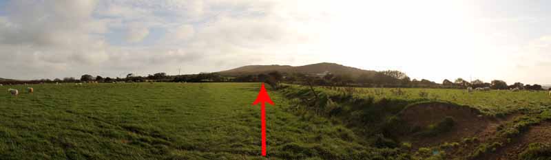
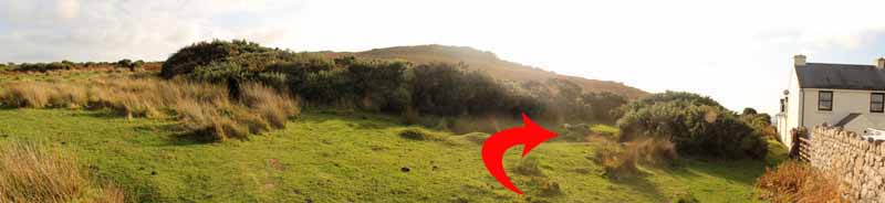
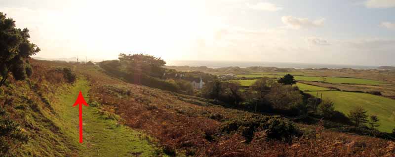
Turn right here and continue between gorse bushes towards Hillend.
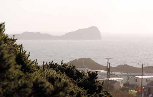
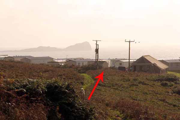
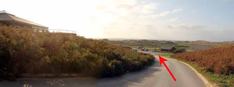
The path is at first indistinct but soon is very clear as it bears left and offers a view of Hillend Caravan entrance.
Look again and you will see behind it the unmistakable shape of Worms Head although the view is unfortunately spoiled by the placing of an electricity pole.
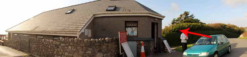
Continue to the entrance and walk down the right track to the start.
Ramblers Cymru and Swansea Ramblers provide these routes but accept no responsibility for those walking them.
If you would like to go on a walk but would prefer to do so with a group of people then click on our Programme section to see what walks we are leading.
We have walks for varying levels of ability and you get the chance to see the countryside in places you might never go by yourself!
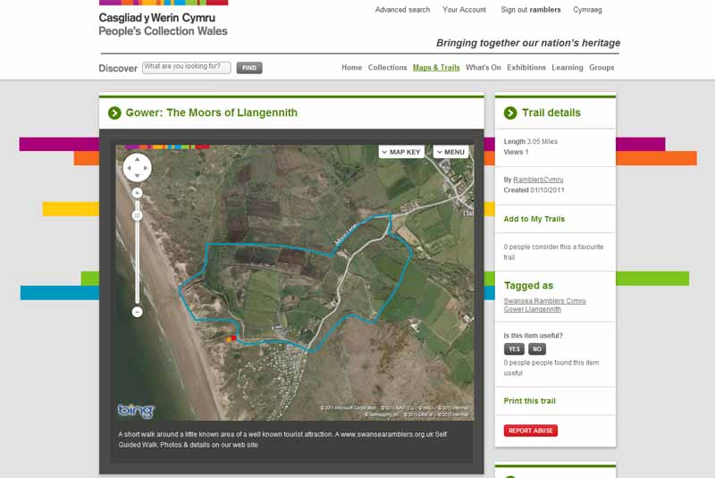
This aerial map is resizable and draggable
(Can be reset to original dimensions by refreshing the page)
A 25,000 Ordnance Survey map of the area
can be viewed by clicking on the above 'View Larger Map' option
(applies only if the above is a Bing map, not a Google map )