Ramblers Cymru Logo Image of Countryside
Swansea Ramblers Logo
at the heart of walking


Swansea Ramblers Walk


Llanmadoc Down


Walk Start / Finish Location:
Tankeylake Moor above Llangennith

Walk Distance: 3 miles (2 hours)

Walk Level: Moderate

Parking: Park on grass verge without blocking access

Transport: Traveline - www.traveline.info   - or - Telephone 0871 200 22 33


Walk Description


This walk rewards you with splendid panoramas over land and sea.
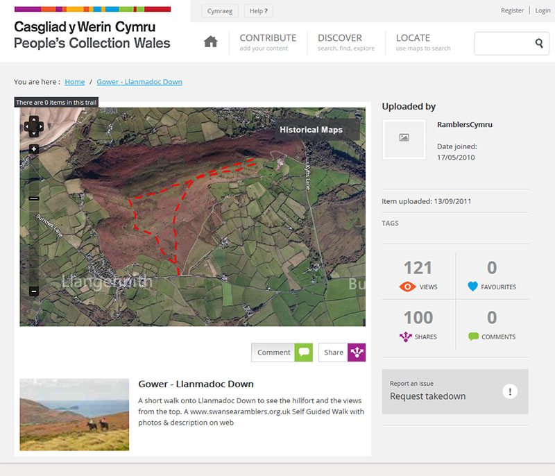
It takes you to an important hill fort and depending on the seasons gives good views of others in the distance.
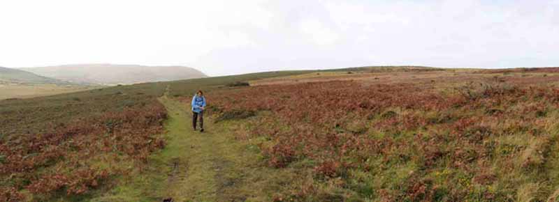
There is one long gentle climb to the top on a broad path followed by a ridge walk and a gentle descent the other end.


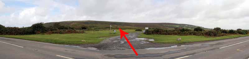
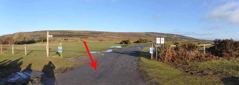
Tankeylake Moor is the Open Access Land immediately before the road descends to Llangennith.
Please park with care on the grass verge so as not to cause an obstruction.
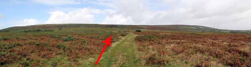
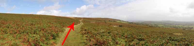
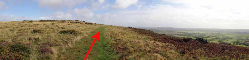
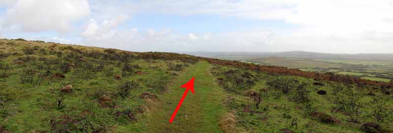
Go across the road to the sign posted access point near the descent and follow a broad grass track to left of the dirt track.
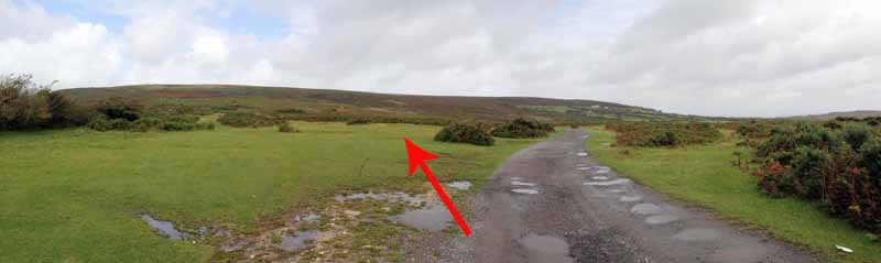
Watch carefully for the right hand broad track that heads towards the centre of Llanmadoc Down and use this rather than the left path.
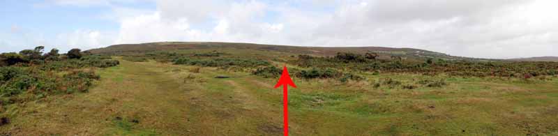
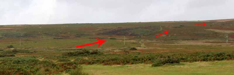
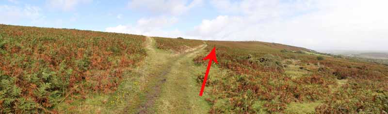
The right hand path passes near some telegraph posts and starts a long gentle climb up to the Bulwark.
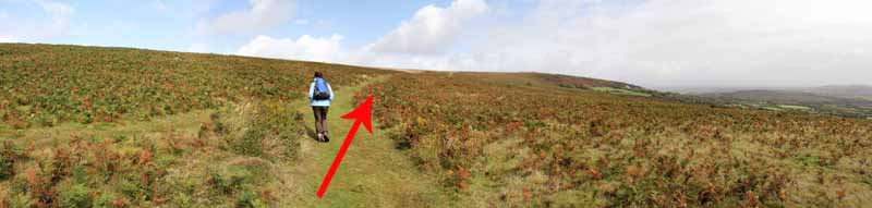
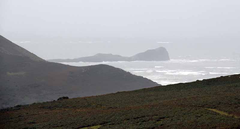
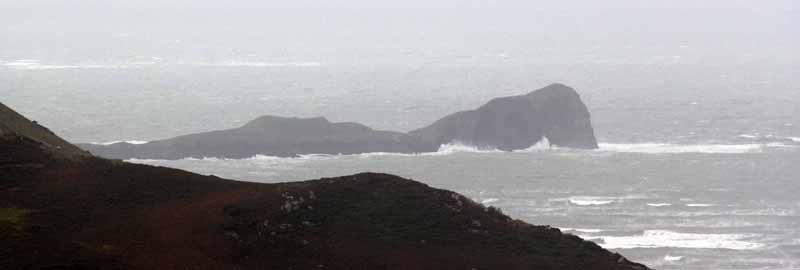
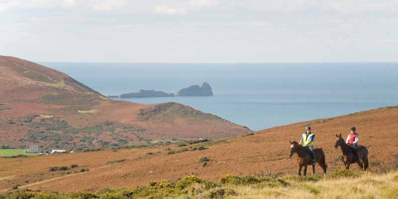
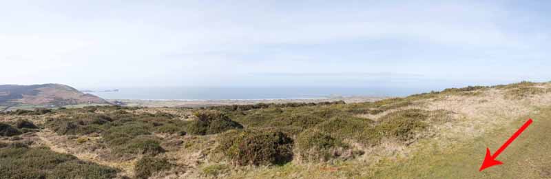
Look back occasionally for a view of Worms Head.
There are also good inland views towards Rhossili Down, Ryers Down, Hardings Down and Cefn Bryn.
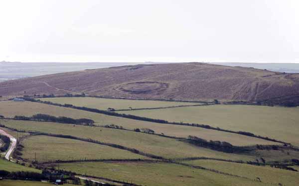
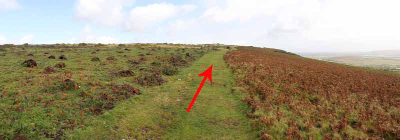
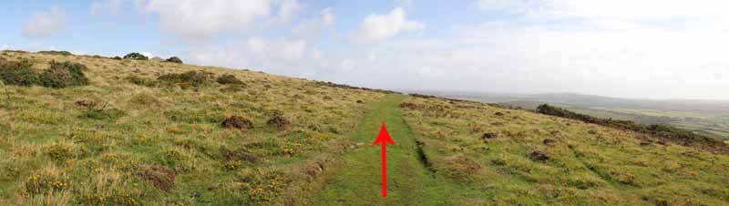
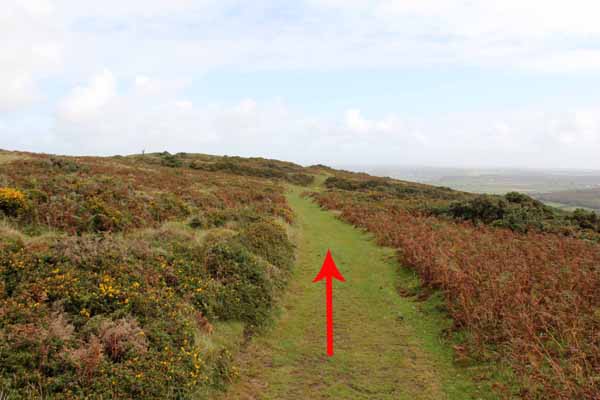
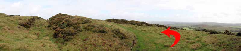
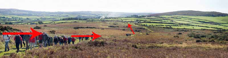
Half way up, follow the right fork in the path. The path goes through the ditches and ramparts of the Bulwark Hill Fort.
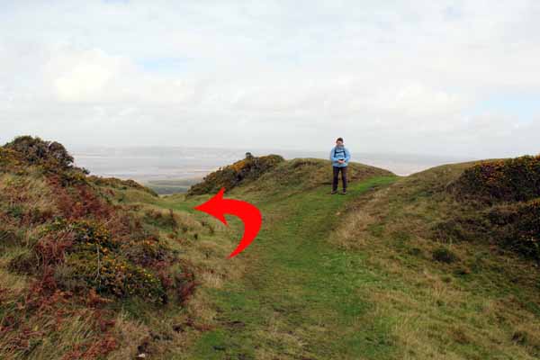
The path then curves left to meet another path through the centre of the fort.
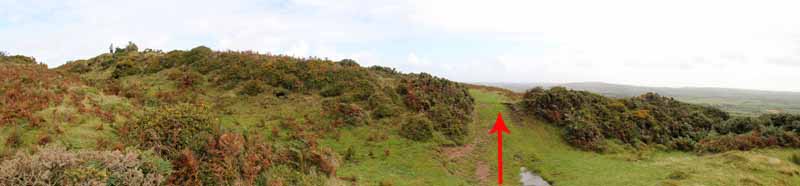
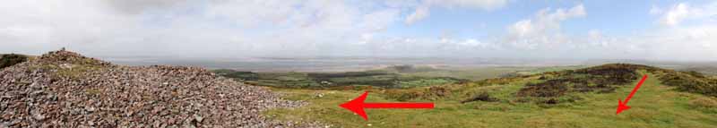
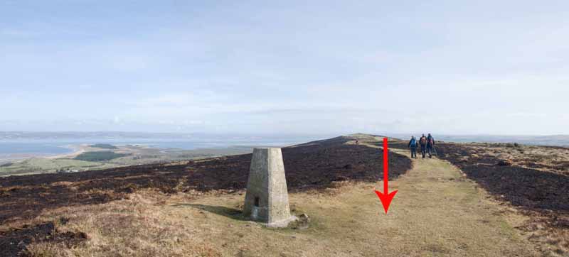
Turn left on this path to follow the ridge path to a cairn and the Trig Point.
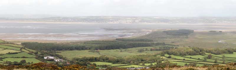
There are splendid views across the Loughor Estuary to Pembrey and the Millennium Coast Path.
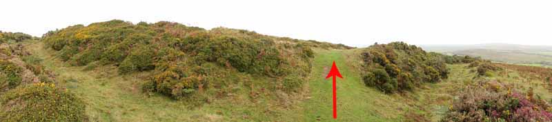
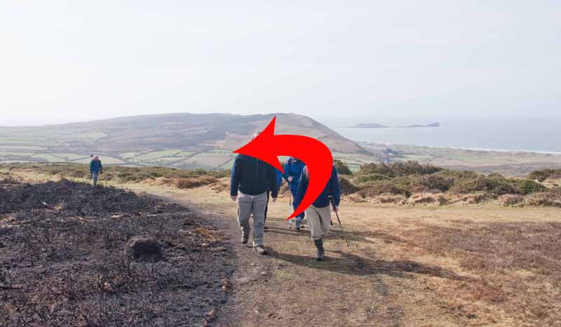
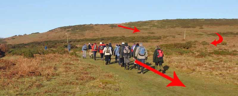
Worms Head and Burry Holms also come into view. Follow the broad path as it curves left and descends the Down.
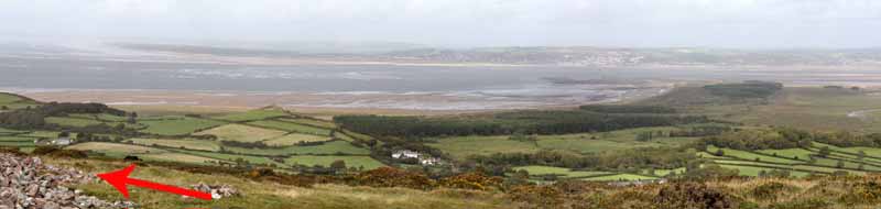
The start point can be seen in the distance with the broad green track visible as it threads its way to journey's end.


Ramblers Cymru and Swansea Ramblers provide these routes but accept no responsibility for those walking them.

If you would like to go on a walk but would prefer to do so with a group of people then click on our Programme section to see what walks we are leading.

We have walks for varying levels of ability and you get the chance to see the countryside in places you might never go by yourself!


Maps of the Walk


Ordnance Survey map of the route to walk
Resizable and draggable
(Can be reset to original dimensions by refreshing the page)
Green Swansea Ramblers logo markers where present can be clicked to provide more information

Peoples Collection link

The route of this walk has been added to The National Museum of Wales' Peoples Collection Web site.
A choice of aerial imagery or historic Ordnance Survey mapping is available.
Click the map to enter their web site (opens in a new browser window)
or copy and paste this link into a new browser window.
http://www.peoplescollectionwales.co.uk/trails/378571


Photographs of the Walk


Photograph of Walking Route - Image 1
Park with care not to cause an obstruction
Cross road and head on broad grass track to left of the dirt track


Photograph of Walking Route - Image 2
Two green paths start near here
Take the right hand one that leads to the middle of the ridgeway


Photograph of Walking Route - Image 3
Right hand path is indicated above


Photograph of Walking Route - Image 4
Path heads for about the middle of the high ground


Photograph of Walking Route - Image 5
Path passes near to the posts and ascends the Down


Photograph of Walking Route - Image 6
Continue the climb and look left at the inland view over Downs and fields


Photograph of Walking Route - Image 7
Hardings Down to the left has a hill fort which is more visible at different times of the year


Photograph of Walking Route - Image 8
Continue the ascent. Cefn Bryn and Ryers Down are in the distance


Photograph of Walking Route - Image 9
Keep to the right


Photograph of Walking Route - Image 10
See end of page for a 360 degree view of this image


Photograph of Walking Route - Image 11
Nearly at the top!


Photograph of Walking Route - Image 12
Remember to look back for a view of Worms Head


Photograph of Walking Route - Image 13
Follow the path towards the Bulwark Hill Fort


Photograph of Walking Route - Image 14


Photograph of Walking Route - Image 15
Can be quite a swell around the Worm


Photograph of Walking Route - Image 16


Photograph of Walking Route - Image 17
Bulwark up ahead


Photograph of Walking Route - Image 18
Hill fort ditches still clearly visible


Photograph of Walking Route - Image 19
Cross straight through the ditches on the path


Photograph of Walking Route - Image 20
The path curves to the left


Photograph of Walking Route - Image 21
When you meet the ridge path in the middle of the fort, turn left for the Trig Point


Photograph of Walking Route - Image 22
Go past the cairn


Photograph of Walking Route - Image 23
Extensive views across the Loughor Estuary to Pembrey


Photograph of Walking Route - Image 24
A scrollable panorama of the view from the cairn can be seen at the bottom of the page


Photograph of Walking Route - Image 25
Continue past the Trig Point


Photograph of Walking Route - Image 26
Good views of the Worms Head again


Photograph of Walking Route - Image 27
Path descends left


Photograph of Walking Route - Image 28
Good views on the way down


Photograph of Walking Route - Image 29
Start point and the broad path to it can be seen in the distance


Photograph of Walking Route - Image 30
Descend the hill towards the start point


Photograph of Walking Route - Image 31
Back onto the road


A scrollable 360 degree panorama from the path
(Firefox users will need to click on the photo to activate the scroll bars)


A scrollable panorama of the view from the cairn
(Firefox users will need to click on the photo to activate the scroll bars)


More information about walking in Wales is available at:    www.ramblers.org.uk/wales

Ramblers Cymru and Swansea Ramblers provide this route but accept no responsibility for those walking it

All photographs Copyright 2012 Andrew Morgan. All rights reserved


Swansea Ramblers hope you enjoy doing this walk.

Over time things can change on the walk

- for example - path diversions, new gates instead of stiles or maybe the path has become blocked.

If you do find anything different on the way then let us know:

1. Which walk you have been on.

2. The type and location of the change or the problem you have experienced.


Of course you may just like to tell us that you have done the walk and whether you enjoyed it.

Use the link below to email us about your walk.

We'll look forward to hearing from you.


If the email link is not displayed above or is not supported by your email setup, manually type in our email address
address


Back to top

Our use of Cookies

Our Privacy Policy


Valid HTML 4.01 Transitional