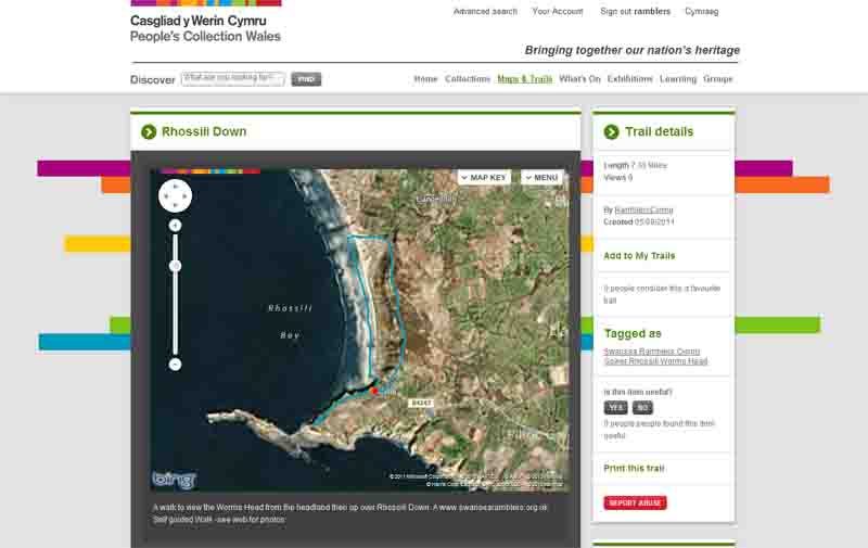
Ramblers Cymru Logo Image of Countryside
Swansea Ramblers Logo
at the heart of walking


Swansea Ramblers Walk


Rhossili Down


Walk Start / Finish Location:
Rhossili Village

Walk Distance: 2-7 miles (1-4 hours)

Walk Level: Easy/Moderate (Strenuous if ascending Rhossili Down)

Parking: Rhossili Car Park (Charge)

Transport: Traveline - www.traveline.info   - or - Telephone 0871 200 22 33


Walk Description


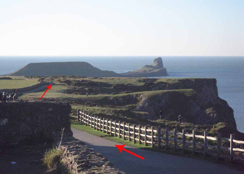
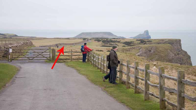
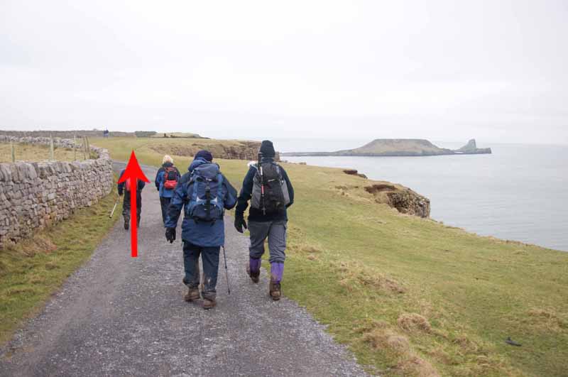
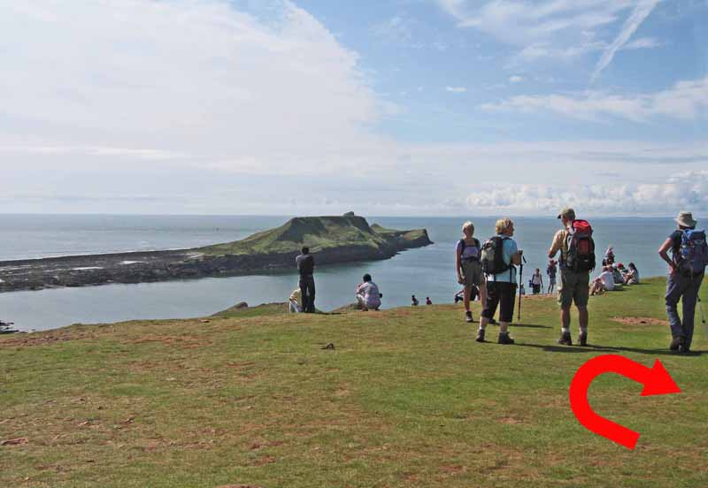
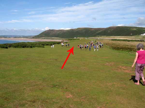
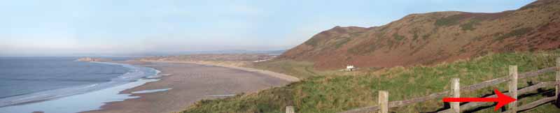
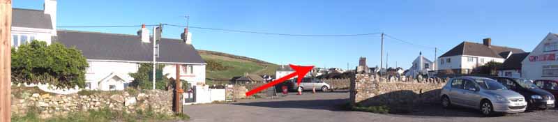
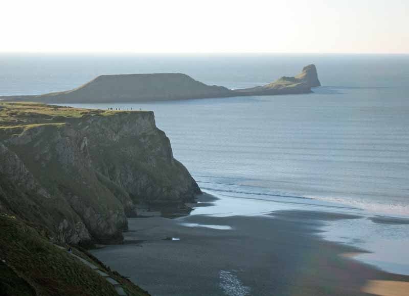
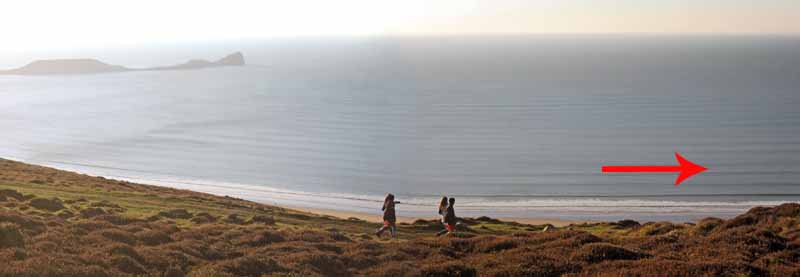
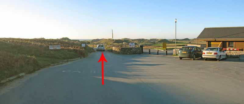
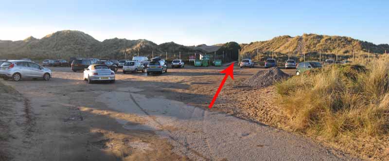
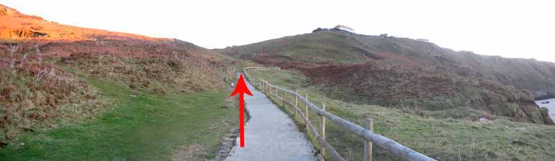
From the car park follow the path out to the headland to have a view over Worms Head then return to the village (2 miles).
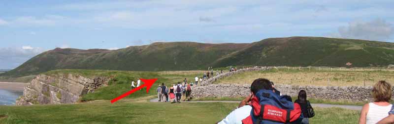
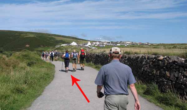
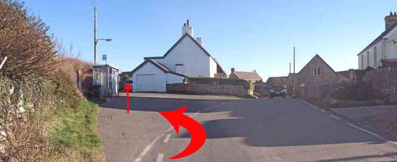
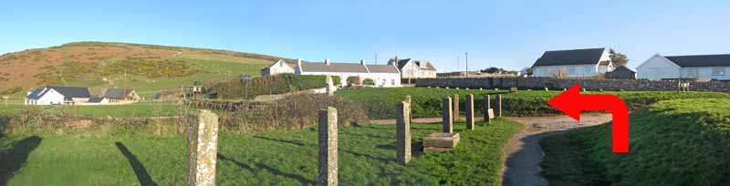
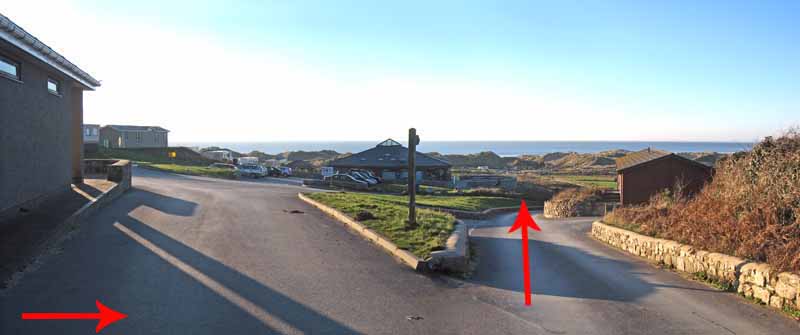
Follow the road to the bus stop and turn left to use the path behind the church.
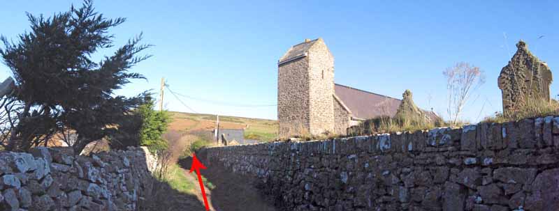
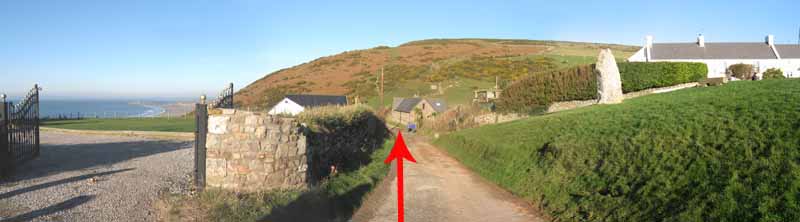
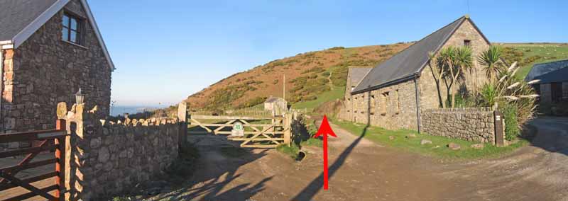
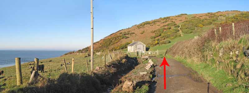
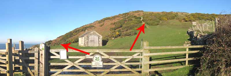
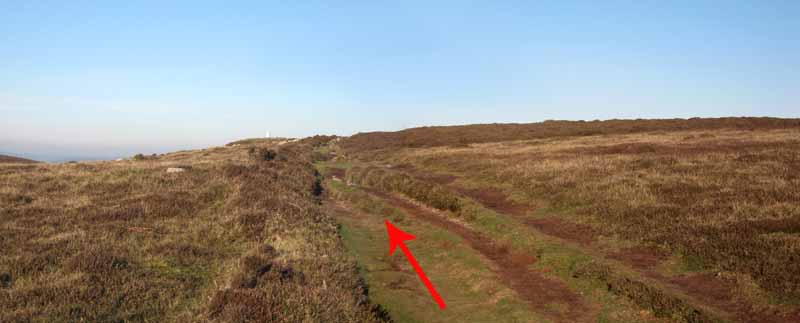
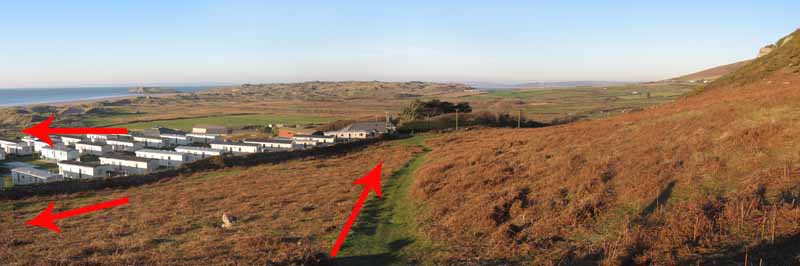
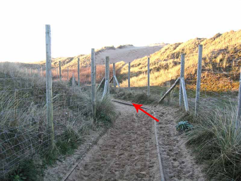
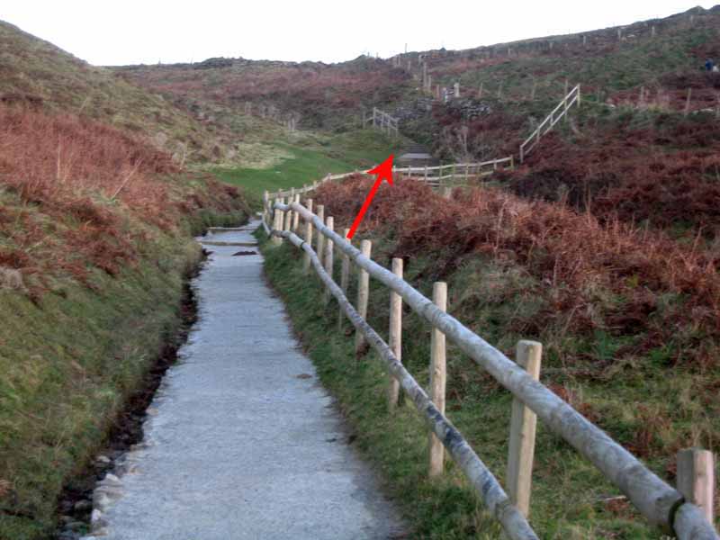
Turn left and follow the track to the second NT gate in front of a small stone building at the base of the Rhossili Down.
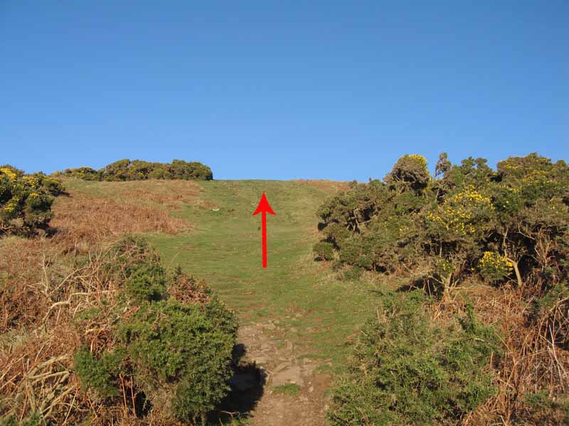
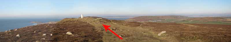
Here make the steep ascent to the as yet unseen trig point on top of the Down

(OR turn left to follow the easier low level path to Hillend Caravan Park entrance via the NT vicarage).

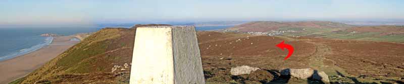
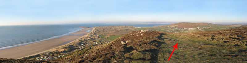
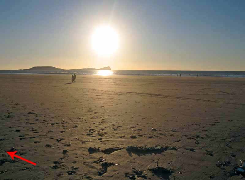
There will be a good view of the Worm from the trig.
On a good day you can see Exmoor, Lundy, Brecon Beacons and the Preseli Hills.
If the weather is changeable be sure to have suitable clothing and that you can navigate in poor conditions.
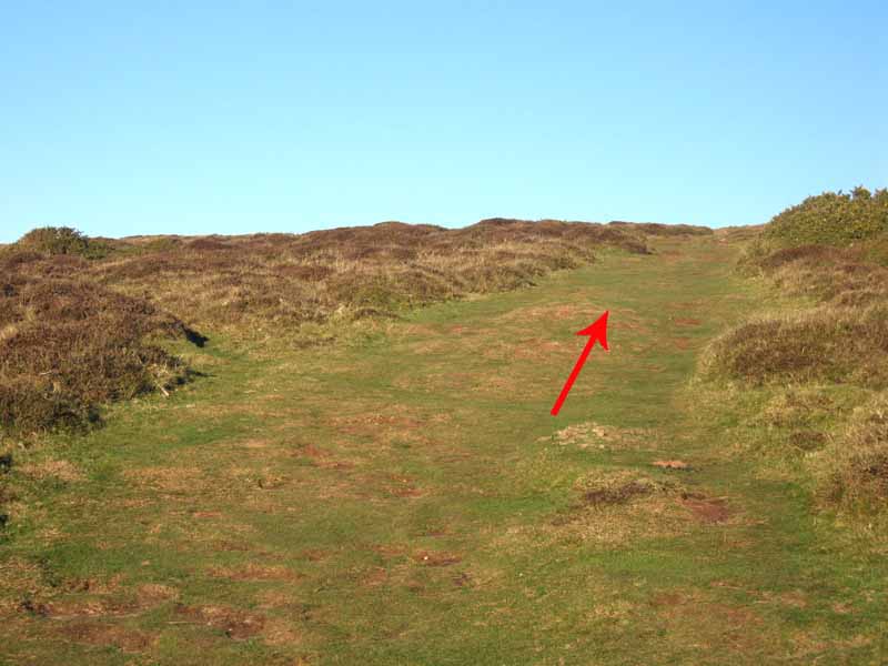
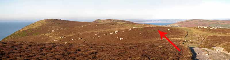
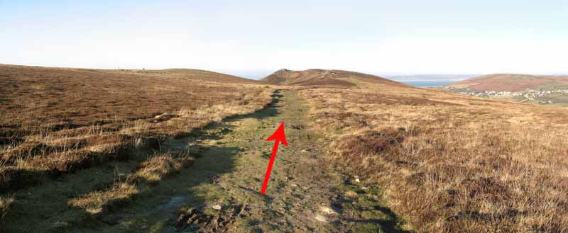
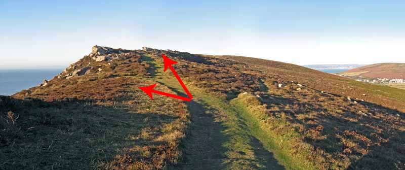
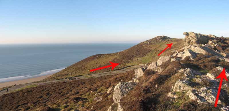
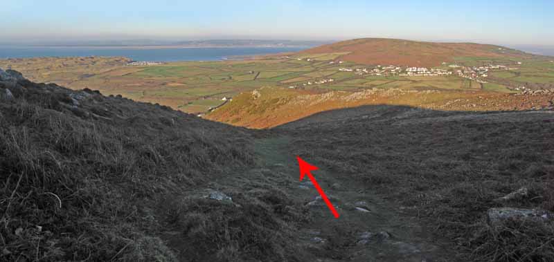
After the trig, continue on the broad path along the ridge way, choosing either to descend to the WWII radar station
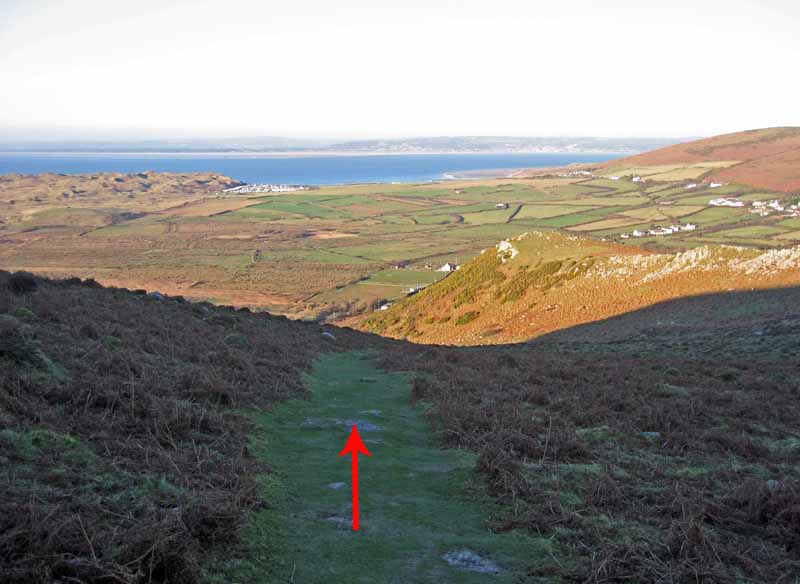
or keep to the top until both paths rejoin before descending to Hillend caravan park entrance.
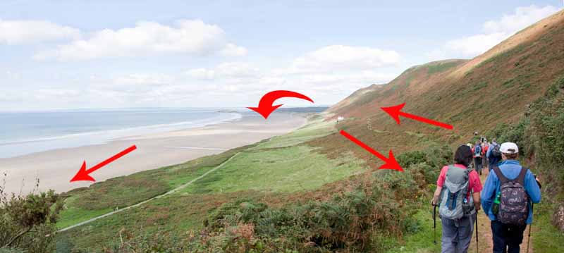
This descent is steep and after wet weather is slippery.

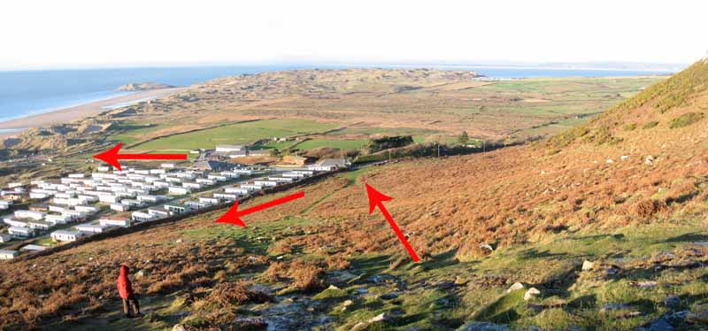
At the entrance to Hillend Caravan Park you can either:
Return along NT vicarage path at the base of the Rhossili Down
or
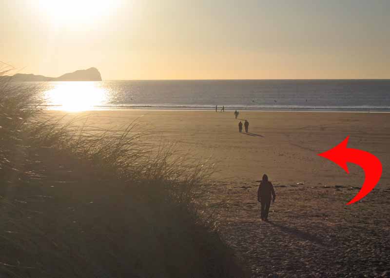
Follow the caravan road down to the beach.
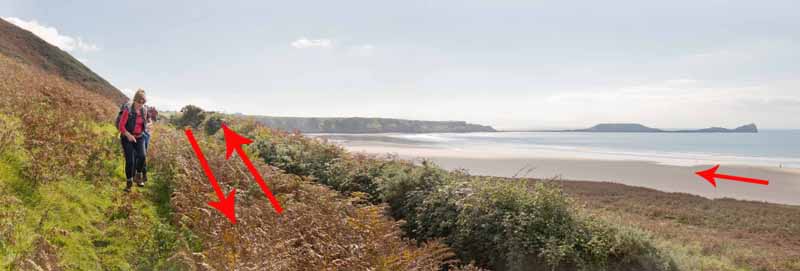
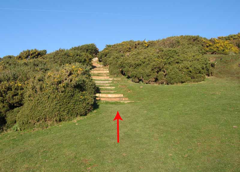
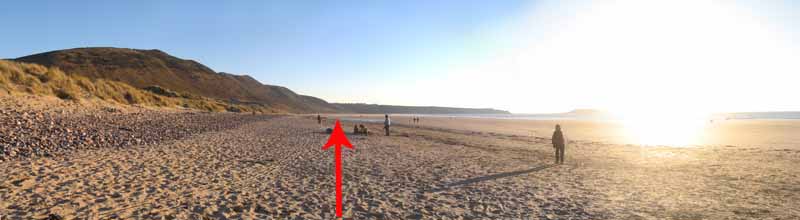
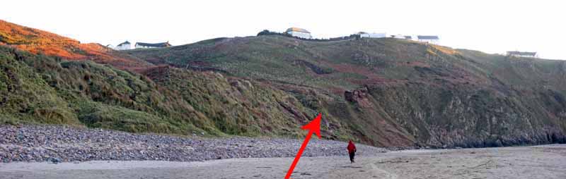
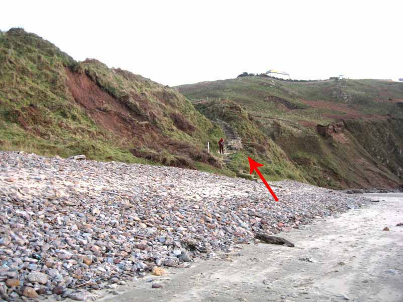
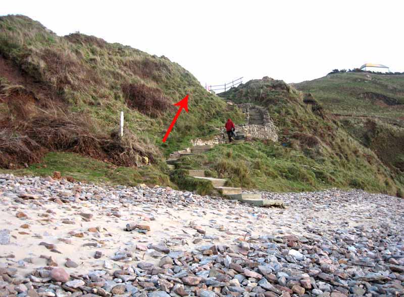
Turn left on the beach to return to Rhossili via the steps near the end of the beach.


Ramblers Cymru and Swansea Ramblers provide these routes but accept no responsibility for those walking them.

If you would like to go on a walk but would prefer to do so with a group of people then click on our Programme section to see what walks we are leading.

We have walks for varying levels of ability and you get the chance to see the countryside in places you might never go by yourself!


Maps of the Walk


Ordnance Survey map of the route to walk
Resizable and draggable
(Can be reset to original dimensions by refreshing the page)
Green Swansea Ramblers logo markers where present can be clicked to provide more information


The optional low level path via the vicarage to Hillend


This aerial map is resizable and draggable
(Can be reset to original dimensions by refreshing the page)

A 25,000 Ordnance Survey map of the area
can be viewed by clicking on the above 'View Larger Map' option
(applies only if the above is a Bing map, not a Google map )


Peoples Collection link

The route of this walk has been added to The National Museum of Wales' Peoples Collection Web site.
A choice of aerial imagery or historic Ordnance Survey mapping is available.
Click the map to enter their web site (opens in a new browser window)
or copy and paste this link into a new browser window.
http://www.peoplescollectionwales.co.uk/trail/718


Photographs of the Walk


Photograph of Walking Route - Image 1
Walk one mile to view the Worms Head then return to this point to complete a 2 mile walk


Photograph of Walking Route - Image 2
Broad path out to Worm


Photograph of Walking Route - Image 3
Easy walking out to the headland


Photograph of Walking Route - Image 4
After viewing the Worm, retrace steps back to car park


Photograph of Walking Route - Image 5
Almost a mile back


Photograph of Walking Route - Image 6
Pick up the track again


Photograph of Walking Route - Image 7
Rhossili Village up ahead


Photograph of Walking Route - Image 8
Views over Rhossili Bay to Hillend and Burry Holms


Photograph of Walking Route - Image 9
Leave car park and head into village


Photograph of Walking Route - Image 10
At the bus stop go to the back of the church


Photograph of Walking Route - Image 11
Follow the church path


Photograph of Walking Route - Image 12
Turn left down another track


Photograph of Walking Route - Image 13


Photograph of Walking Route - Image 14
Ignore this NT gate that descends straight to the beach


Photograph of Walking Route - Image 15
Go through the next (kissing) gate


Photograph of Walking Route - Image 16
Either take the low path past the vicarage or ascend Rhossili Down


Photograph of Walking Route - Image 17
The optional low route:
The low path can be used to go to hillend or later come back the same way
The beach can also be used to return


Photograph of Walking Route - Image 18
The optional low route:
The low path still has fine views


Photograph of Walking Route - Image 19
The high path:
Ascend Rhossili Down by the side of that small stone building


Photograph of Walking Route - Image 20
The Gower Way follows part of our route


Photograph of Walking Route - Image 21
Good views from here


Photograph of Walking Route - Image 22


Photograph of Walking Route - Image 23


Photograph of Walking Route - Image 24
Follow the broad track to the trig point


Photograph of Walking Route - Image 25
Trig is on a burial chamber


Photograph of Walking Route - Image 26
Follow the ridge


Photograph of Walking Route - Image 27


Photograph of Walking Route - Image 28


Photograph of Walking Route - Image 29
Use either the broad path down to the WWII radar site or the top path


Photograph of Walking Route - Image 30
People on the WWII path


Photograph of Walking Route - Image 31
Paths rejoin


Photograph of Walking Route - Image 32
Begin descent towards Hillend Caravan Park


Photograph of Walking Route - Image 33
Descending


Photograph of Walking Route - Image 34
Starts to get steeper


Photograph of Walking Route - Image 35
Steep (and slippery in the wet)
Either turn left along the vicarage path or go into the caravan park and down to the beach


Photograph of Walking Route - Image 36


Photograph of Walking Route - Image 37
Follow the road through the caravan park


Photograph of Walking Route - Image 38


Photograph of Walking Route - Image 39
The beach access is at the back of the car park. Watch for traffic


Photograph of Walking Route - Image 40


Photograph of Walking Route - Image 41
Turn left on the beach towards Rhossili


Photograph of Walking Route - Image 42


Photograph of Walking Route - Image 43


Photograph of Walking Route - Image 44
Steps will come into view


Photograph of Walking Route - Image 45


Photograph of Walking Route - Image 46


Photograph of Walking Route - Image 47
Follow the path up to the village


Photograph of Walking Route - Image 48
The path will turn right to ascend the cliff and emerge at the car park


More information about walking in Wales is available at:    www.ramblers.org.uk/wales

Ramblers Cymru and Swansea Ramblers provide this route but accept no responsibility for those walking it

All photographs Copyright 2012 Andrew Morgan. All rights reserved


Swansea Ramblers hope you enjoy doing this walk.

Over time things can change on the walk

- for example - path diversions, new gates instead of stiles or maybe the path has become blocked.

If you do find anything different on the way then let us know:

1. Which walk you have been on.

2. The type and location of the change or the problem you have experienced.


Of course you may just like to tell us that you have done the walk and whether you enjoyed it.

Use the link below to email us about your walk.

We'll look forward to hearing from you.


If the email link is not displayed above or is not supported by your email setup, manually type in our email address
address


Back to top

Our use of Cookies

Our Privacy Policy


Valid HTML 4.01 Transitional