Walk Description
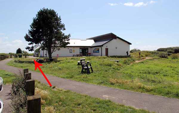
From the visitor centre, head towards the main road using the path on right of the car park.
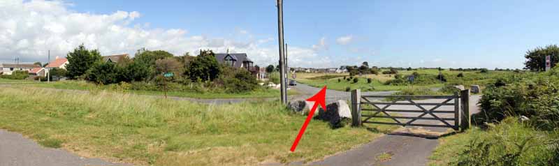
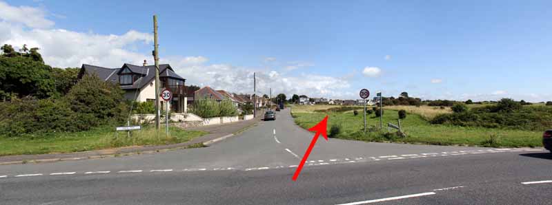
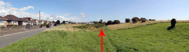
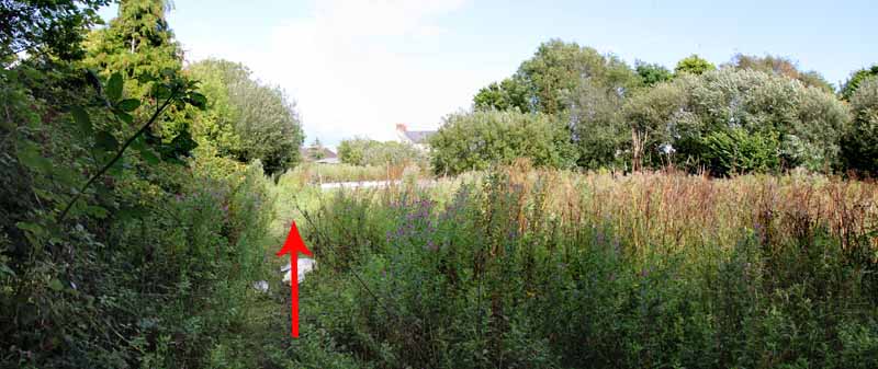
Cross into the minor road opposite and head diagonally over the grassland
into a sunken right of way parallel with the golf course.
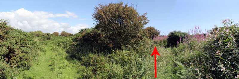
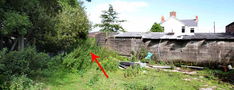
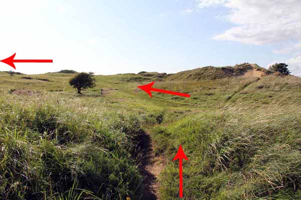
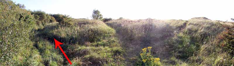
Make for the corner of the row of houses then continue diagonally with care across the fairway to the undergrowth.
A path there takes you onto the next fairway so again watch for golfers.
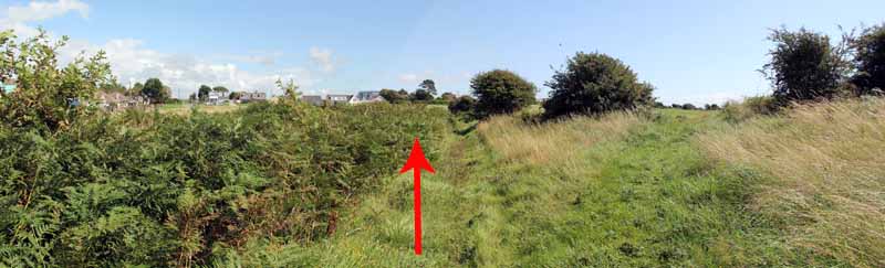
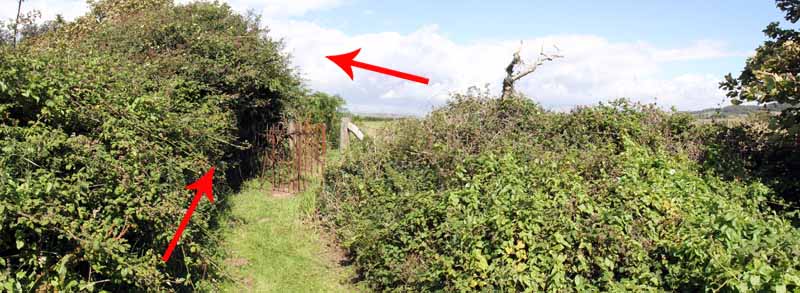
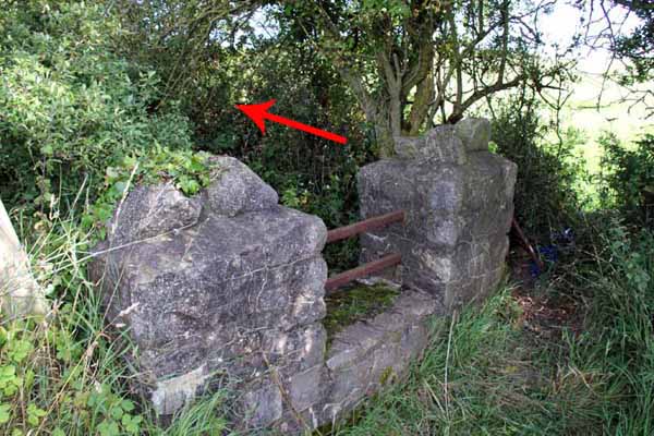
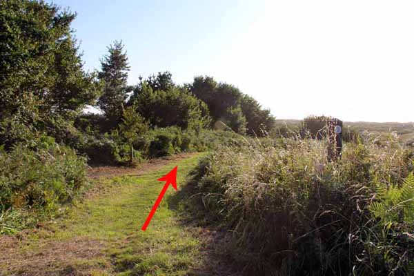
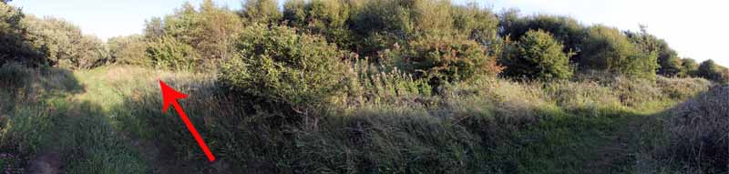
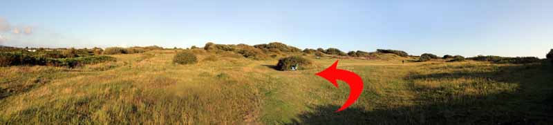
The path across the course has been unclear since leaving the houses.
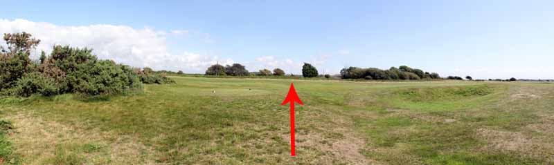
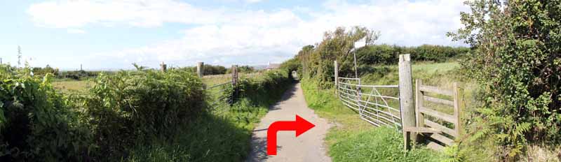
A hidden kissing gate to the left of the golf maintenance centre takes you in front of the golf practice field.
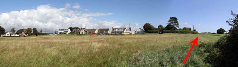
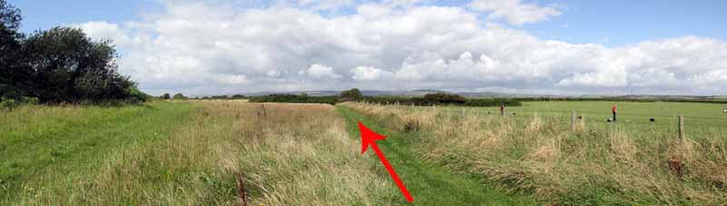
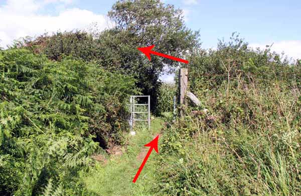
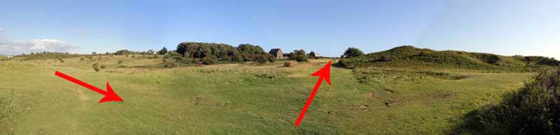
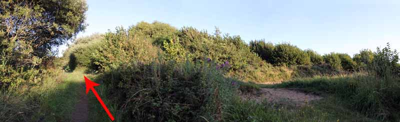
Turn left along the practice boundary path to another kissing gate hidden on the right.
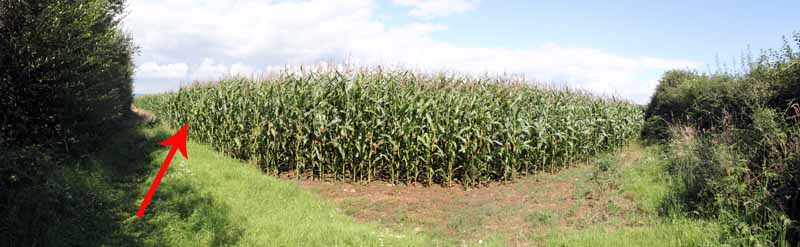
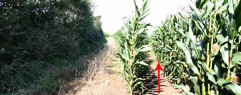
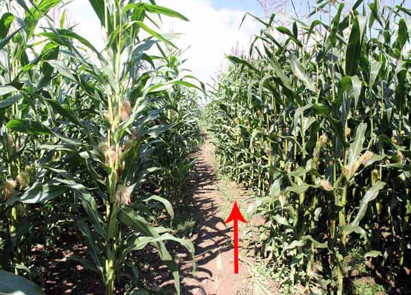
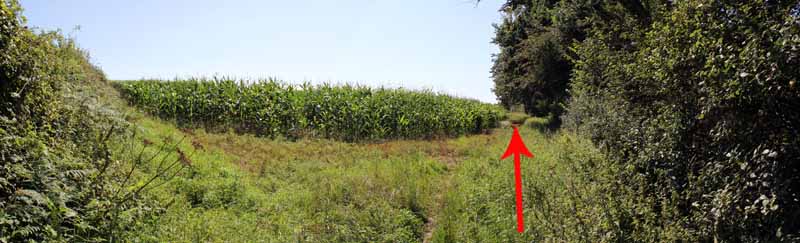
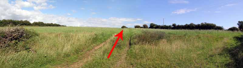
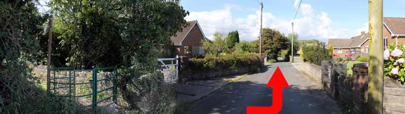
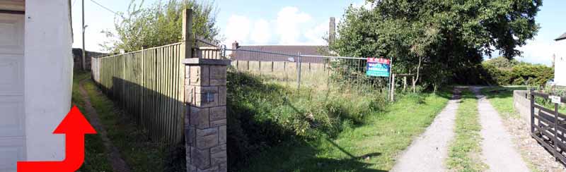
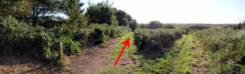
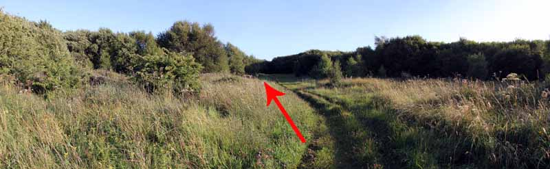
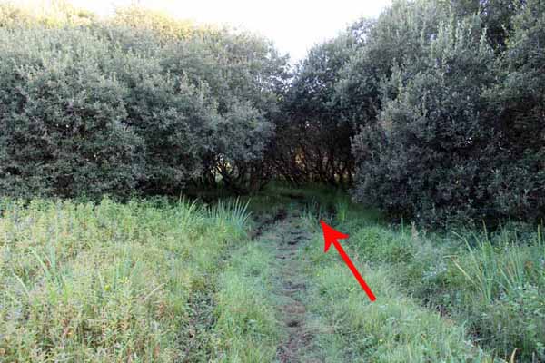
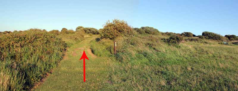
Enter a field and turn left then follow the narrow well trod path between the jungle of high corn.
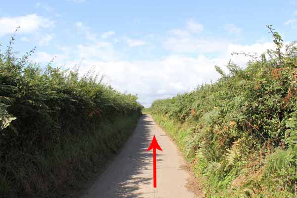
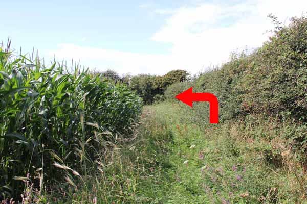
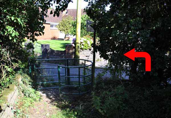
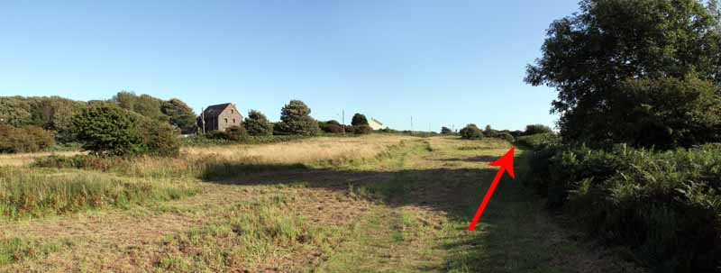
Turn left onto the lane at the kissing gate.
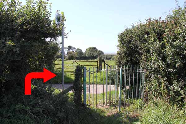
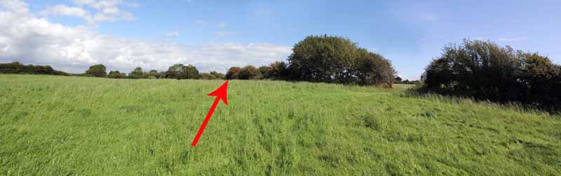
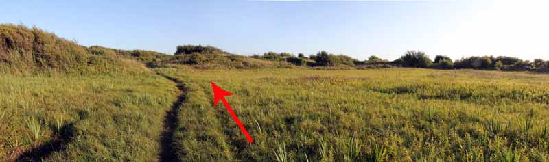
After a while turn left through a kissing gate and go straight along the edge of the field.
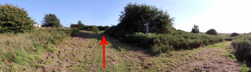
At the next field turn right along the edge to the kissing gate onto a lane.
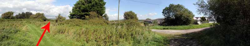
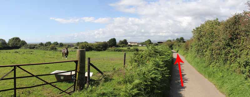
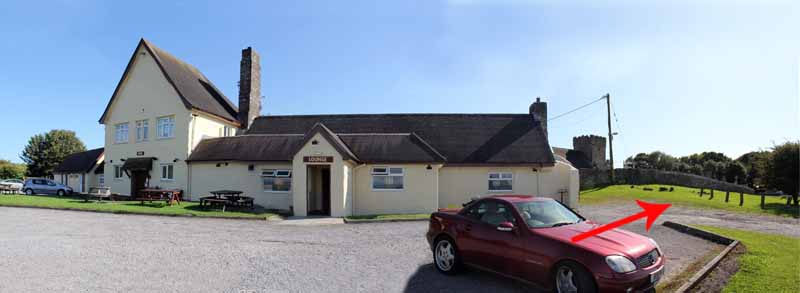
Follow the lane some way to a stile on the right, just before reaching the pub.
Ascend diagonally right to the next stile in the far corner of the field.
Follow the narrow path, watching for the occasional trip hazard and the brambles.
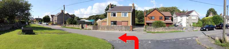
Turn left onto the road at the kissing gate.
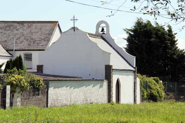
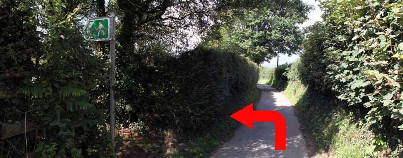
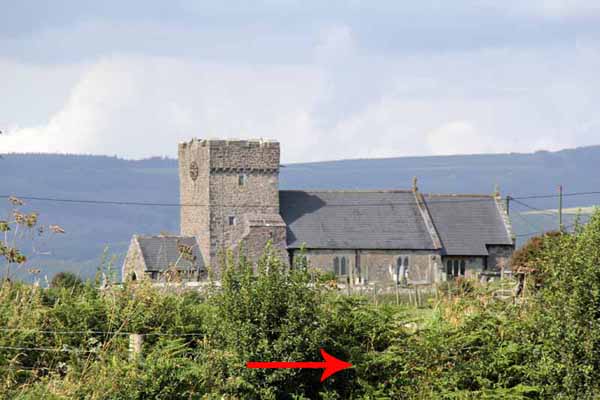
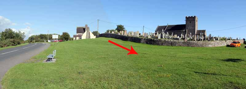
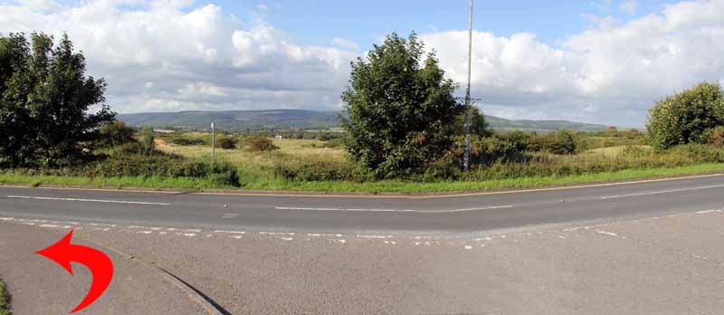
Turn left at the junction, then right just before the church.
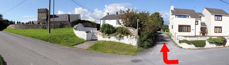
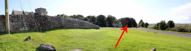
Watch for the sharp turn left alongside the churchyard and emerge next to The Angel Inn.
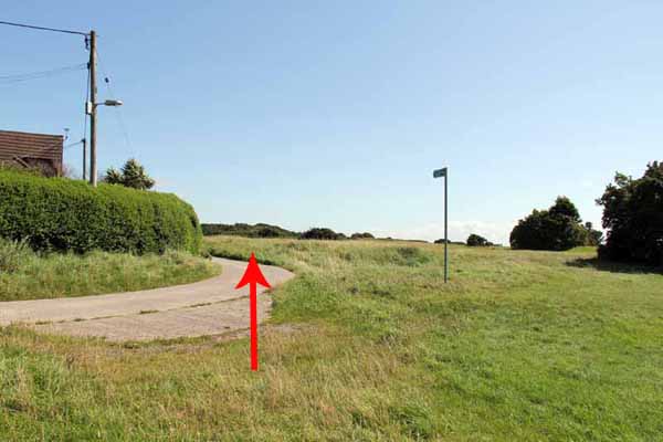
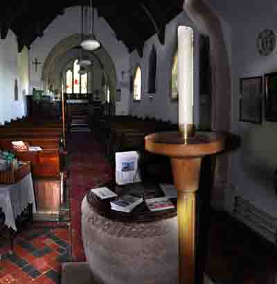
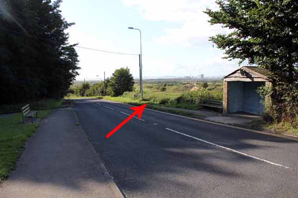
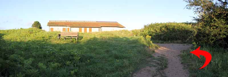
Visit the church if open then turn left down the main road to a path just after the bus shelter.
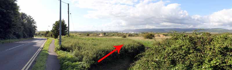
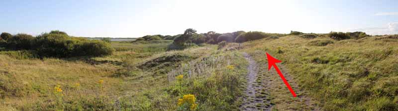
After a short distance turn left onto the broad path and left again to follow another broad path.
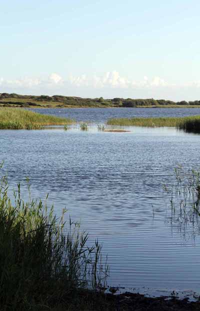
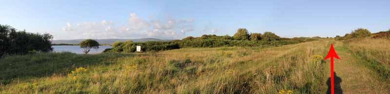
At the second crossing of broad paths turn right and follow the left path to Kenfig Pool.
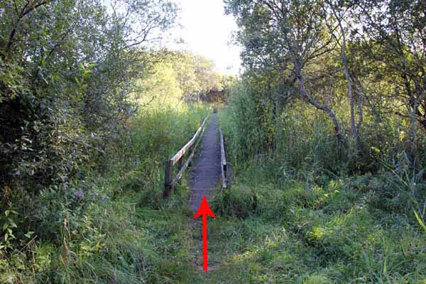
Keep to the pool side path and boardwalk which goes to a bird hide.
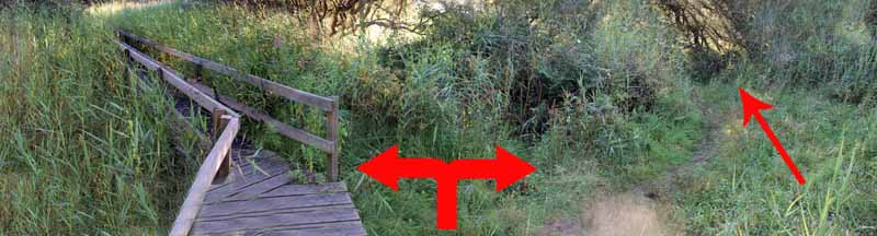
Retrace steps a few yards to turn left off the boardwalk along the pool path.
Follow close to the pool, taking the left fork at the path junctions into an open area before going into trees with a short section of mud.
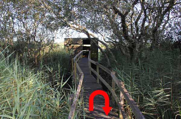
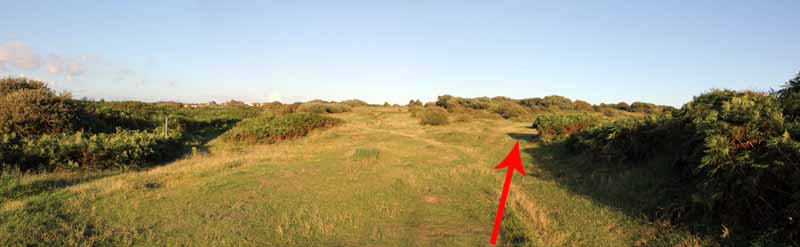
Keep bearing left to pick up the broad track to the next bird hide and into an open area.
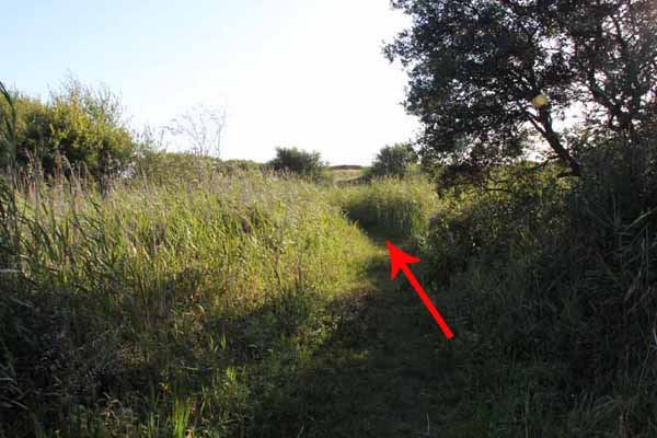
Where the edge of the pool forms a small beach, ascend right on a broad path.
Turn left on the next broad path and follow it back to the visitor centre.
Ramblers Cymru and Swansea Ramblers provide these routes but accept no responsibility for those walking them.
If you would like to go on a walk but would prefer to do so with a group of people then click on our Programme section to see what walks we are leading.
We have walks for varying levels of ability and you get the chance to see the countryside in places you might never go by yourself!
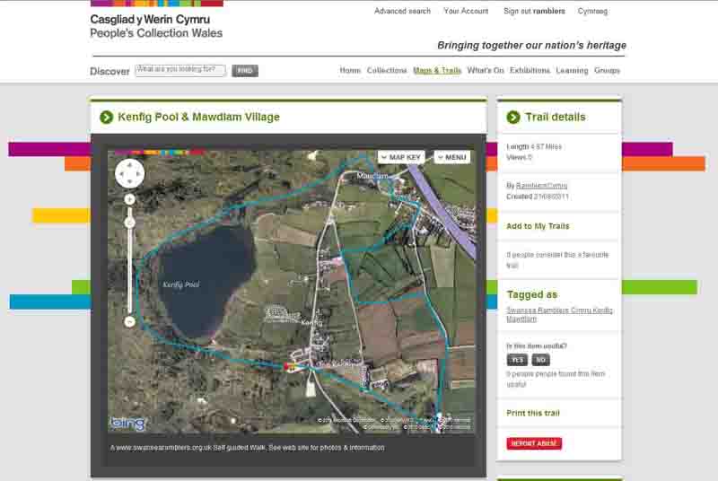
This aerial map is resizable and draggable
(Can be reset to original dimensions by refreshing the page)
A 25,000 Ordnance Survey map of the area
can be viewed by clicking on the above 'View Larger Map' option
(applies only if the above is a Bing map, not a Google map )