Walk Description
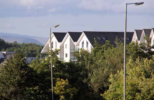
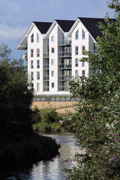
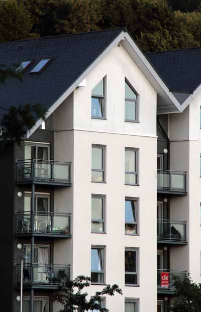
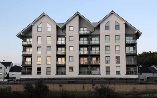
Following the 'Hitler house' spotted in Swansea in 2011, some sad looking houses have been seen in the Copper Quarter.
Why are they sad? Just think Disney and look carefully at the top windows!
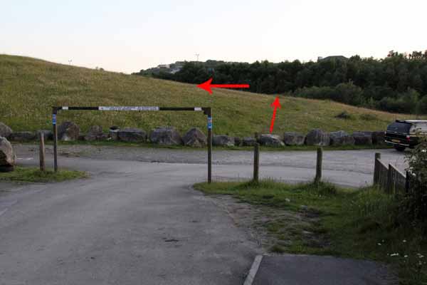
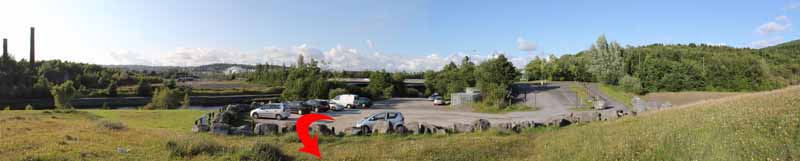
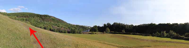
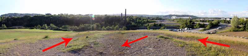
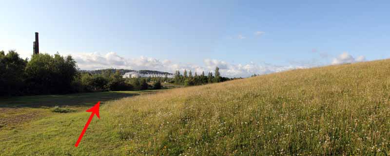
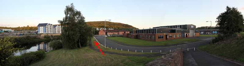
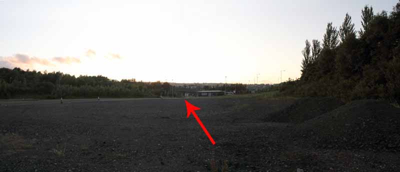
From the car park climb the spiral path to the top of the man-made hill, take in the view then descend the second spiral path back to the car park.
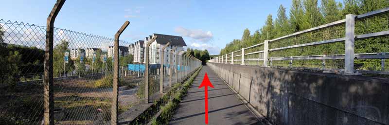
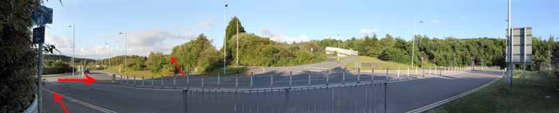
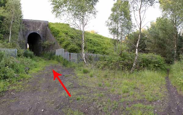
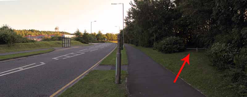
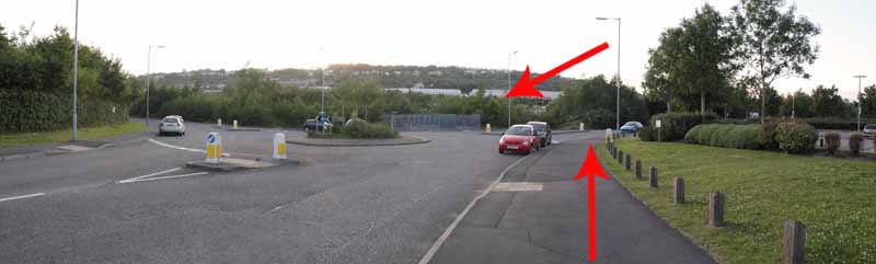
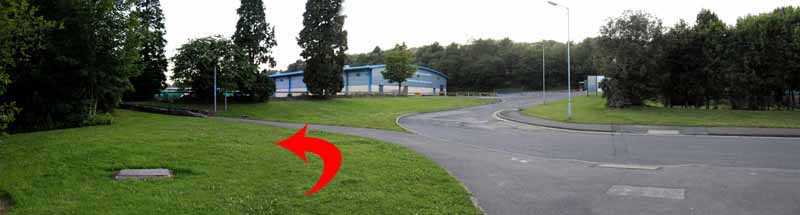
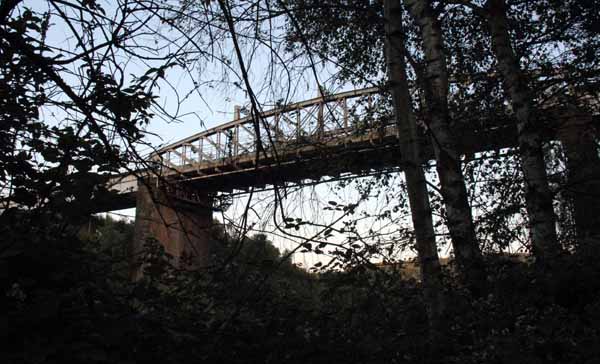
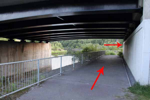
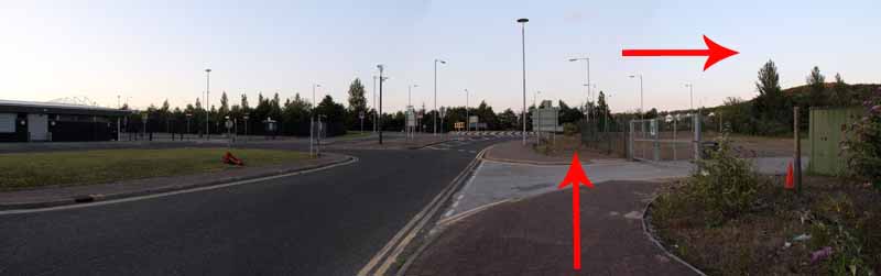
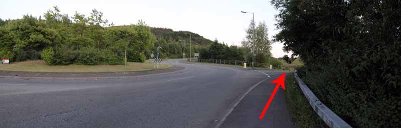
Pass under the bridge and walk to a road junction.
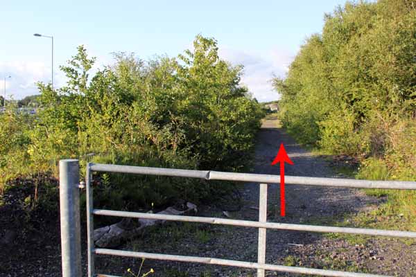
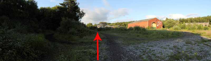
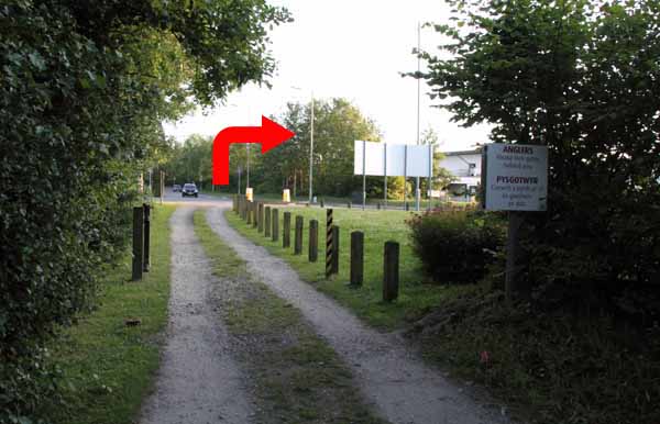
Cross over to a metal gate onto the disused railway line.
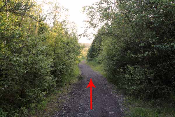
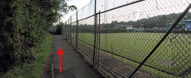
Motorbikes use this dirt track so take care and since it is a bit isolated it maybe best not to walk alone.
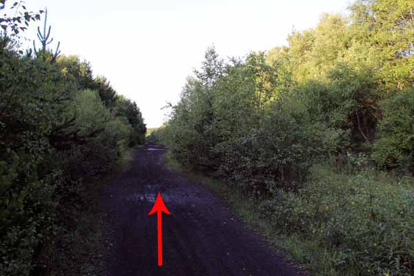
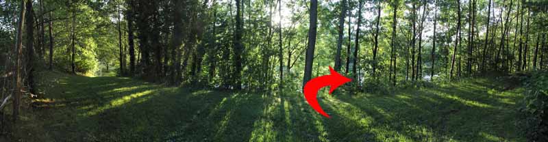
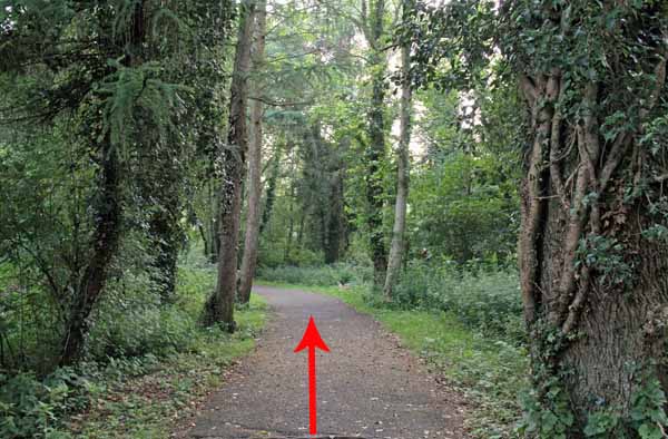
You will be rewarded with woodland largely unknown to those bustling around the nearby shops.
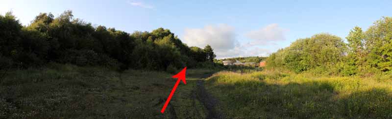
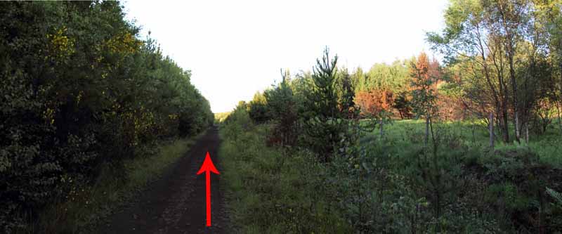
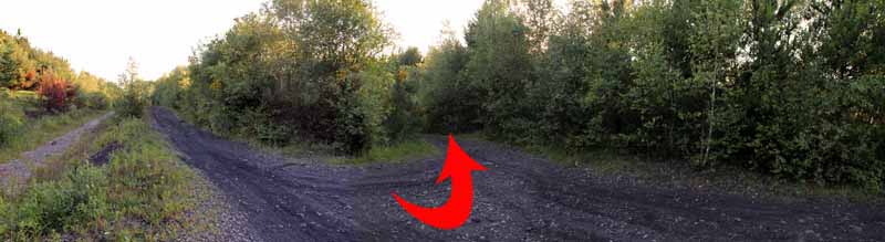
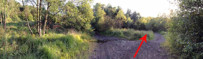
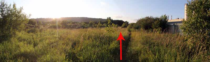
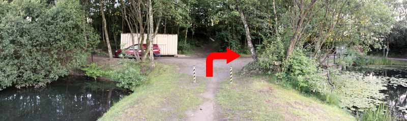
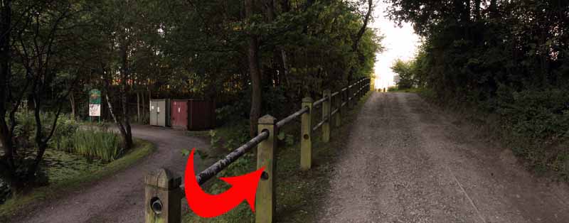
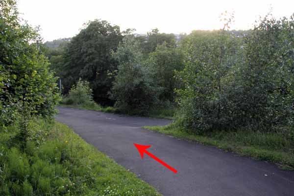
Follow the track for about a mile then just after you hear water running on the right, a broad dirt path on the left takes you diagonally backwards.
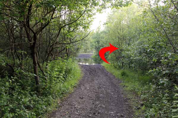
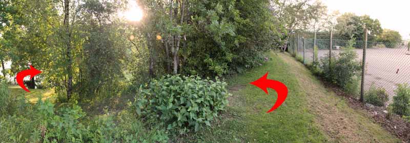
After a short distance take the right fork forward to a shallow puddle of water on the path formed by a stream.
Carefully make your way around it then the path bends to the right.
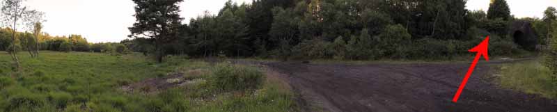
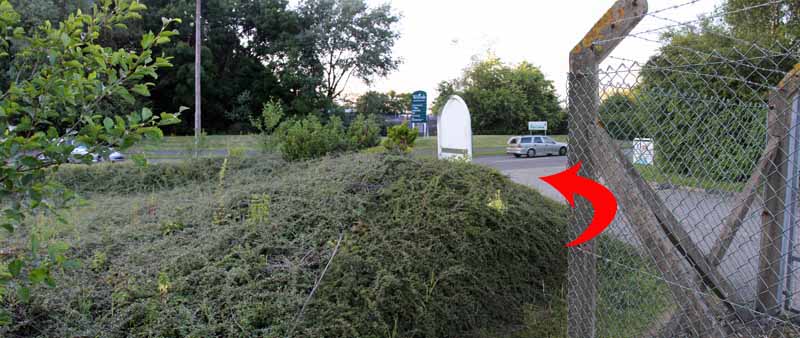
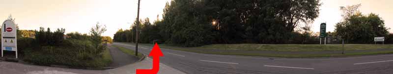
Go through the railway arch on the right and continue straight on between Bemis and The Royal Mail to Siemens Way.
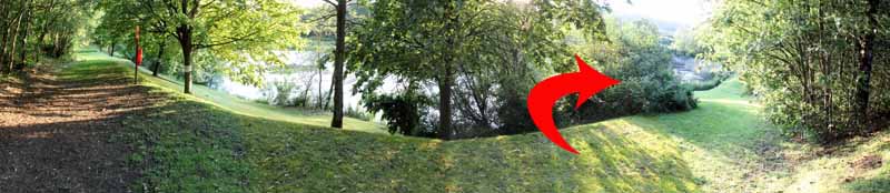
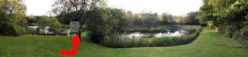
Cross & descend the woodland path. Turn right then left then right again to zig zag down to the Half Round Pond.
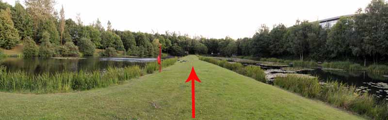
Go past the notice board to the path between the ponds.
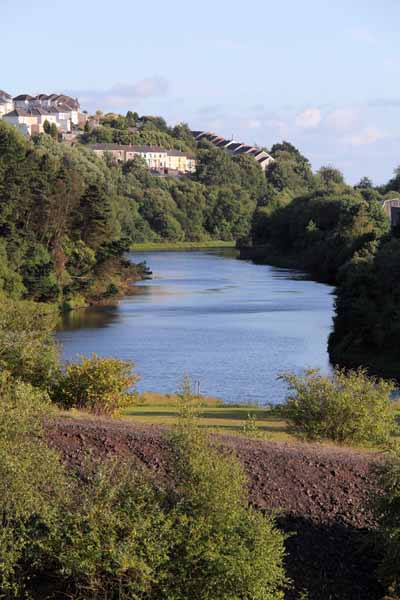
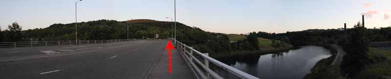
At the other end ascend to the road & turn right. Go just to the right of next roundabout and descend to the Tawe.
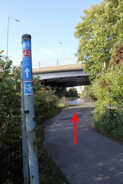
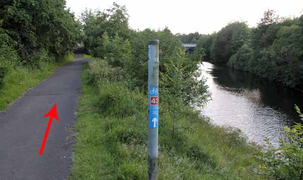
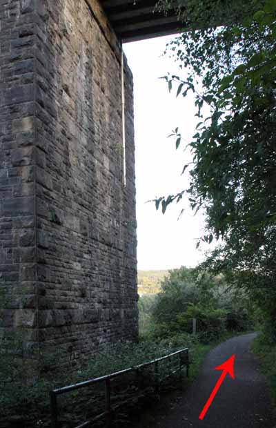
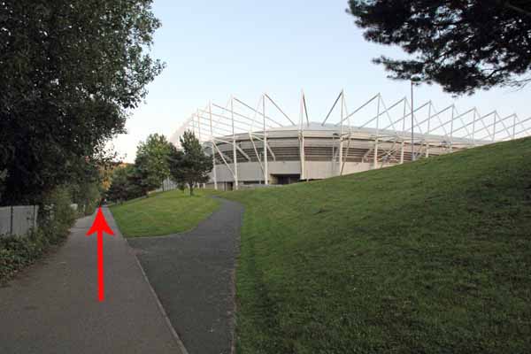
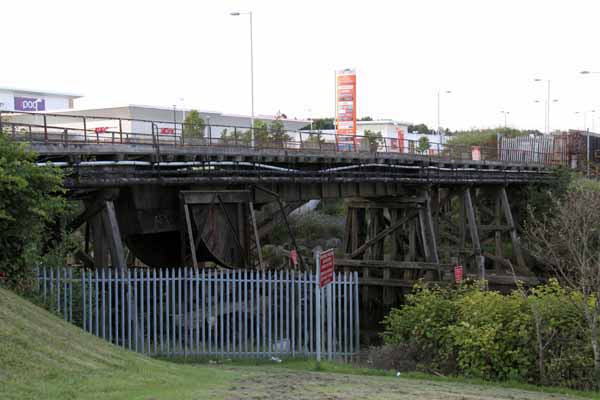
Turn left and cross the bridge then turn left onto the cycle path. Go past the railway viaduct and Liberty Stadium.
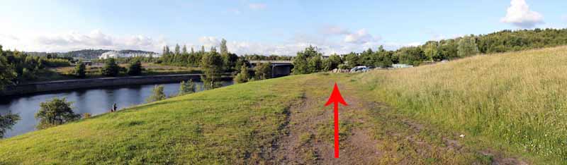
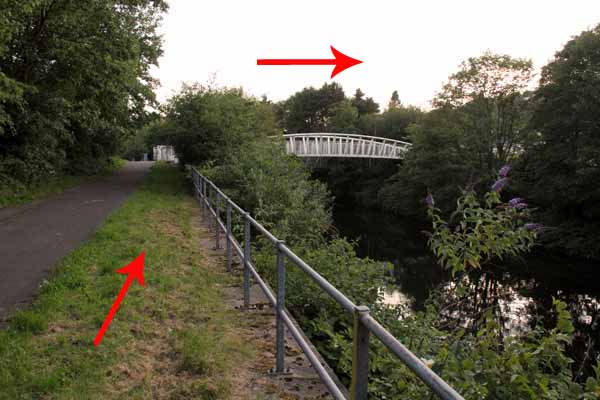
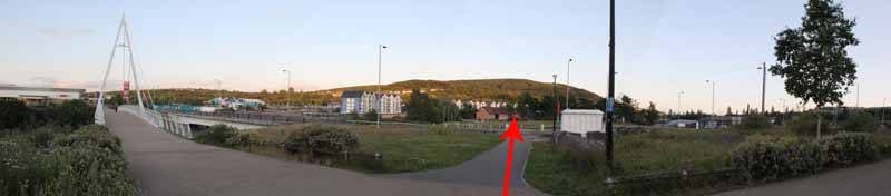
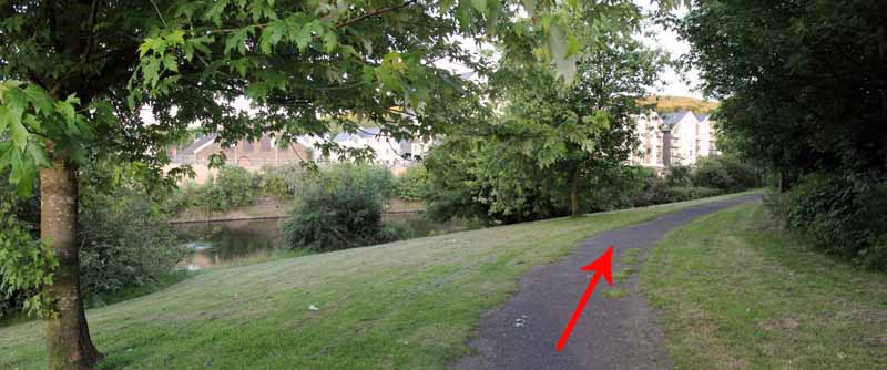
Cross the road and descend to the riverside.
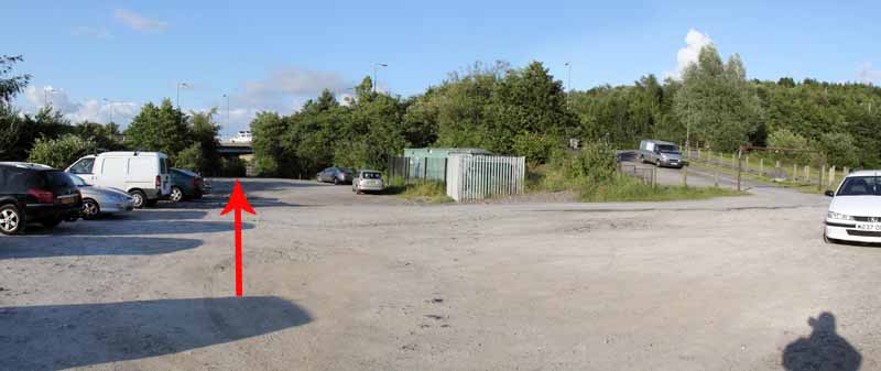
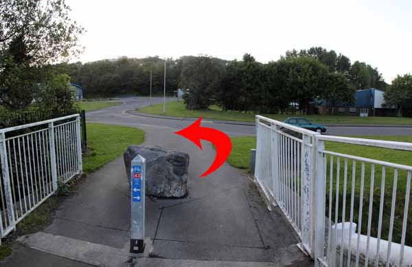
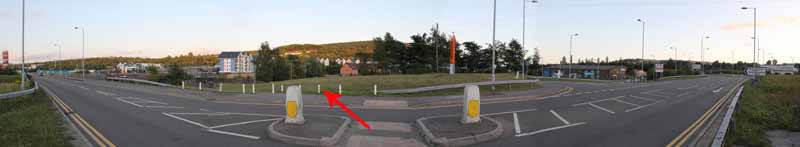
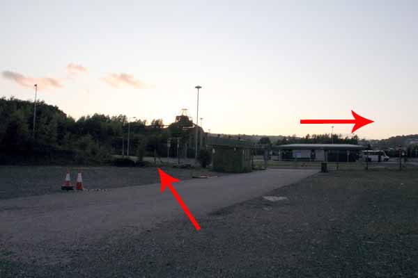
Go under the bridge then turn diagonally right across the overspill car park towards Landore Park and Ride.
Go to the left of the gate and on the pavement turn right, go over the bridge & back to the start.
Ramblers Cymru and Swansea Ramblers provide these routes but accept no responsibility for those walking them.
If you would like to go on a walk but would prefer to do so with a group of people then click on our Programme section to see what walks we are leading.
We have walks for varying levels of ability and you get the chance to see the countryside in places you might never go by yourself!
This aerial map is resizable and draggable
(Can be reset to original dimensions by refreshing the page)
A 25,000 Ordnance Survey map of the area
can be viewed by clicking on the above 'View Larger Map' option
(applies only if the above is a Bing map, not a Google map )