The Gower Way was created by The Gower Society in partnership with the Ramblers.
The route follows paths not just in AONB of The Gower Peninsula but continues north through the ancient Lordship of Gower.
The Lordship includes most of the City of Swansea and climbs to Pen lle'r Castell which marks the northernmost boundary of The Gower Lordship, high on the hills just beyond the Lliw Reservoirs.
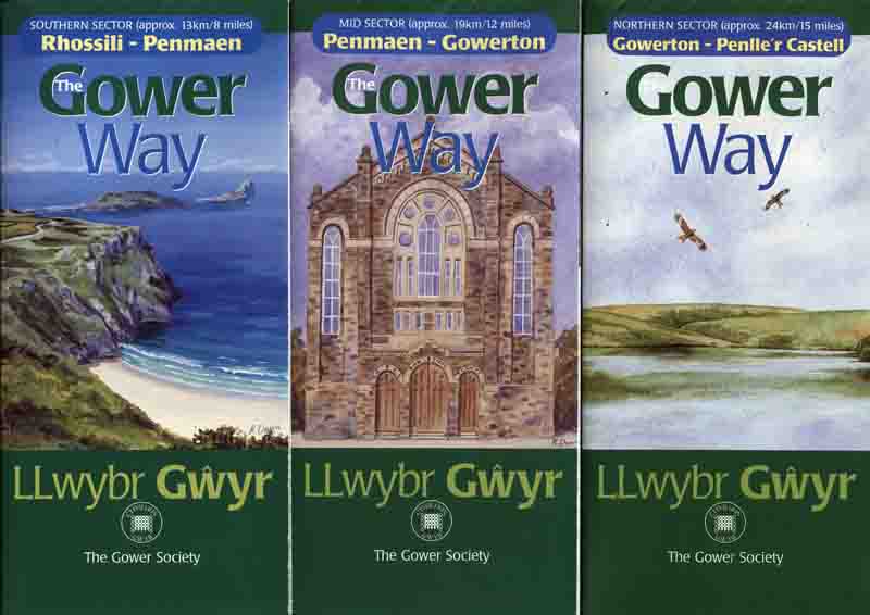
There are leaflets available to buy that describe the path as it journeys between there and Rhosili (see below).
There are over 50 stone waymarkers along the route and these are inscribed with the Gower Society logo and the individual number of the stone.
The Ordnance Survey Grid References (eastings/northings) for each stone have been checked by Swansea Ramblers and there is a link below to download the PDF of these positions for you to navigate your way along the path.
You can also click the link below for photographs and map location of each stone.
Swansea Ramblers walked the entire route in 2014 and photographs of the project are in our photo gallery on this web site.
We recommend starting at Pen lle'r Castell and walking south to finish with the majestic view of Rhosili and Worm's Head.
Stone 50 is located near the earth mound which marks the remains of the castle at Pen lle'r Castell and from there the stones count down to stone 1 near Rhosili Church then the Gower Way finishes at stone '0' by the coastguard lookout building on the cliff edge overlooking Worm's Head.
If you enjoy walking in Gower and Swansea why not try walking with Swansea Ramblers and explore more of the area with a sociable group of walkers. We also have social events throughout the year.