August
|
Wednesday 26th August Two walks today |
The valleys of Bishopston and Ilston
|
||||||||||
|
Leader: Clive Scott |
7 miles |
||||||||||
|
Tel: 07369-299198 |
Moderate |
||||||||||
|
|
|
||||||||||
|
|
|
||||||||||
|
Description:
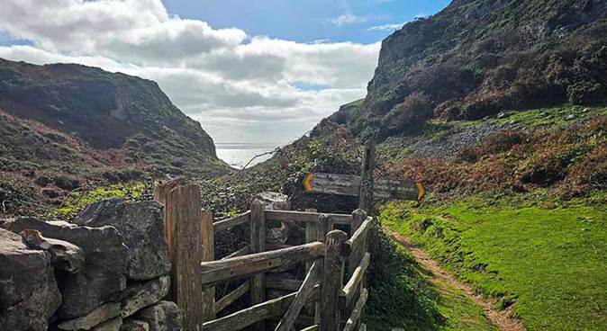
A great opportunity to enjoy South Gower's glorious beauty away from the bays and beaches.
A rural, inland walk from Southgate. We go through the beautiful Bishopston Valley to Kittle.
We then pass through fields to Ilston Valley before returning to Southgate via Kilvrough Woods and Sandy Lane.
___________________________
Dogs: Assistance Dogs Only Stiles: Two. Toilets: At start of walk. Livestock: Possibility of some sheep and a few cows. Terrain:
___________________________
Social after walk: Afterwards, we will go for refreshments to the Three Cliffs Coffee Shop. ___________________________
|
|||||||||||
|
|
|||||||||||
|
|
Assistance Dogs Only |
||||||||||
|
Start: |
Starting Place: |
|
|||||||||
|
10:00 a.m. |
Southgate: Pennard Cliffs: National Trust Car Park (Charge) |
||||||||||
|
___________________________
Directions: · From Swansea, head south on A4067, Oystermouth Road. · Turn right to ascend B4436, Mayals Road (after The Woodman Inn). · Follow B4436 through Kittle. · Continue straight on at junction where B4436 turns right. · Follow road through Southgate Village to roundabout. · Park in the cliff-top car park. ___________________________
|
|||||||||||
|
(Members can use the FREE Ramblers App as a Sat Nav to all our walks) |
|||||||||||
|
What3Words: surprises.segmented.bedrock |
Post Code: SA3 2DJ |
||||||||||
|
Lat/Long: 51.5671, -4.0878 |
|
GR: |
SS |
554 874 |
|||||||
|
Wednesday 26th August Two walks today |
An Evening Walk: Mumbles & Langland |
||||||||||
|
Leader: Christine Rees |
3 miles |
||||||||||
|
Tel: 07967-716568 |
Leisurely Sunset is at 8:18 p.m. |
||||||||||
|
|
|
||||||||||
|
|
|
||||||||||
|
Description:
A pleasant, evening walk to unwind after the day.
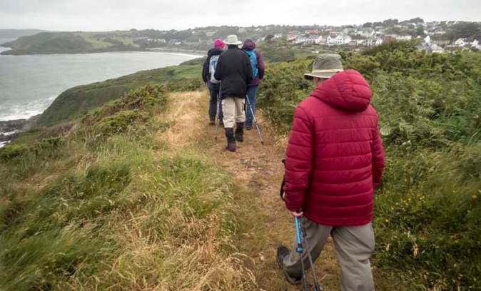
Join Christine on a walk from Limeslade to Langland and back. The walk will take us along the coast path and cliffs with fine views. _____________________________
Dogs: To remain on short leads. Stiles: None. Toilets: Bracelet Bay. Terrain:
_____________________________ Social after walk: Afterwards, we will go for refreshments to The Lighthouse Bar (if open), or The Pilot Inn (opposite Verdi’s). _____________________________ |
|||||||||||
|
|
|||||||||||
|
Walking the cliff top to Langland |
|||||||||||
|
|
Dogs remain on short leads |
||||||||||
|
Start: |
Starting Place: |
|
|||||||||
|
7:00 p.m. |
Mumbles: Limeslade: Pavement opposite Fortes Cafe |
||||||||||
|
_____________________________ Directions: · Follow A4067 coast road past Norton to Oystermouth Village. · Continue straight at mini roundabout onto B4433 (coast road). · Follow B4433 past Verdi and Knab Rock. · Follow right-hand bend by the ‘Big Apple’. · Pay and Display parking is to the left. · Walk 800 feet west to Fortes in Limeslade. _____________________________ |
|||||||||||
|
(Members can use the FREE Ramblers App as a Sat Nav to all our walks) |
|||||||||||
|
What3Words: backpacks.until.folders |
Post Code: SA3 4JW |
||||||||||
|
Lat/Long: 51.5664, -3.9851 |
|
GR: |
SS |
625 871 |
|||||||
|
Thursday 27th August |
Clyne Gardens A Taste of Gower |
|||||||||
|
Leader: Lynne Esson |
3-4 miles |
|||||||||
|
Tel: 07754-435221 or 01792-845845 |
Leisurely |
|||||||||
|
|
|
|||||||||
|
|
|
|||||||||
|
Description: From the car park we will walk through the gardens and woodland. The walk will take between 2 and 3 hours.
Dogs: Dogs remain on short leads Stiles: None. Toilets: At the Lido and in the Gardens. Terrain: Good paths but can be a bit muddy in places depending on weather. Public Transport: There is a bus stop opposite The Woodman. From Swansea Quadrant bus station, take service 2, 2A, 2B, 3, 3A, 14, 14A, 37
Social after walk: Afterwards, we will go for refreshments to The Woodman or Junction Café. |
||||||||||
|
|
Dogs remain on short leads |
|||||||||
|
Start: |
Starting Place: |
|
||||||||
|
10:30 a.m. |
Blackpill: The Woodman: Car park (Clyne Gardens Section) |
|||||||||
|
Directions: · From the city centre, head west along Oystermouth Road. · Turn right at The Woodman then right into car park. · There is an area to the left which is free for Clyne Gardens users. · If full, there is a pay & display car park at Derwen Fawr Road, off B4436.
|
||||||||||
|
(Members can use the FREE Ramblers App as a Sat Nav to all our walks) |
||||||||||
|
What3Words: every.legal.motel |
Post Code: SA3 5AS |
|||||||||
|
Lat/Long: 51.5962, -3.9961 |
|
GR: |
SS |
618 905 |
||||||
|
Rescheduled for: Wednesday 2nd September 6 p.m.
|
|||
Thursday 27th August
|
An Evening Walk: Swansea Canal and Clydach An Introduction to walking with us |
||
|
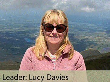
Leader: Lucy Davies |
4.5 miles |
||
|
Tel: 07772-784492 |
Leisurely |
||
|
|
|
||
|
|
|
||
|
Saturday 29th August |
Mewslade, Rhosili, Thurba Head and The Knave A Figure of Eight Walk |
||||||||||
|
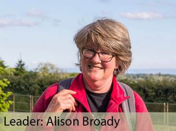
Leader: Alison Broady |
4.5 and 2 miles |
||||||||||
|
Tel: 07926-285806 |
Moderate |
||||||||||
|
|
|
||||||||||
|
|
|
||||||||||
|
|
|||||||||||
|
Walking through Rhosili
|
|||||||||||
|
Description:
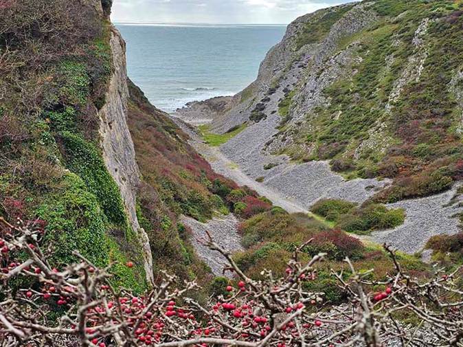
A ‘Figure of Eight’ walk, taking in the dramatic cliff scenery and views of Rhosili at this end of Gower.
The morning 4.5-mile walk will head west towards Rhosili and Worm’s Head.
We then return to Mewslade by about 2 p.m. before continuing east for a further 2-mile afternoon walk.
We start by going over Thurba Head and follow the coast path then head inland over farmland. ______________________________
Dogs: To remain on short leads Stiles: None. Toilets: At Rhosili. Terrain: · Undulating rugged coast path and farmland. · Quite rocky in places. ______________________________
Social after walk: Afterwards, we will go for refreshments to The King Arthur.
|
|||||||||||
|
|
|||||||||||
|
Mewslade Bay |
|||||||||||
|
|
|||||||||||
|
Path down to Mewslade Bay |
|||||||||||
|
|
|||||||||||
|
The view of Fall Bay |
|||||||||||
|
|
Dogs remain on short leads |
||||||||||
|
Start: |
Starting Place: |
|
|||||||||
|
11:00 a.m. |
Mewslade: Field car park (Pay at machine) Machine takes cash or card - £3.50 for 5 hours. |
||||||||||
|
______________________________
Directions: · Head west on A4118, passing through Knelston. · At Scurlage, turn right to join B4247. · Follow signs for Rhosili. · Descend after Pitton Cross towards Pitton. · Before ascending again, turn diagonally left by buildings. · Follow sign for Mewslade Bay Car Park. · Park in field. ______________________________
|
|||||||||||
|
(Members can use the FREE Ramblers App as a Sat Nav to all our walks) |
|||||||||||
|
What3Words: overpower.achieving.mobile |
Post Code: SA3 1PH |
||||||||||
|
Lat/Long: 51.5658, -4.2708 |
|
GR: |
SS |
427 876 |
|||||||